
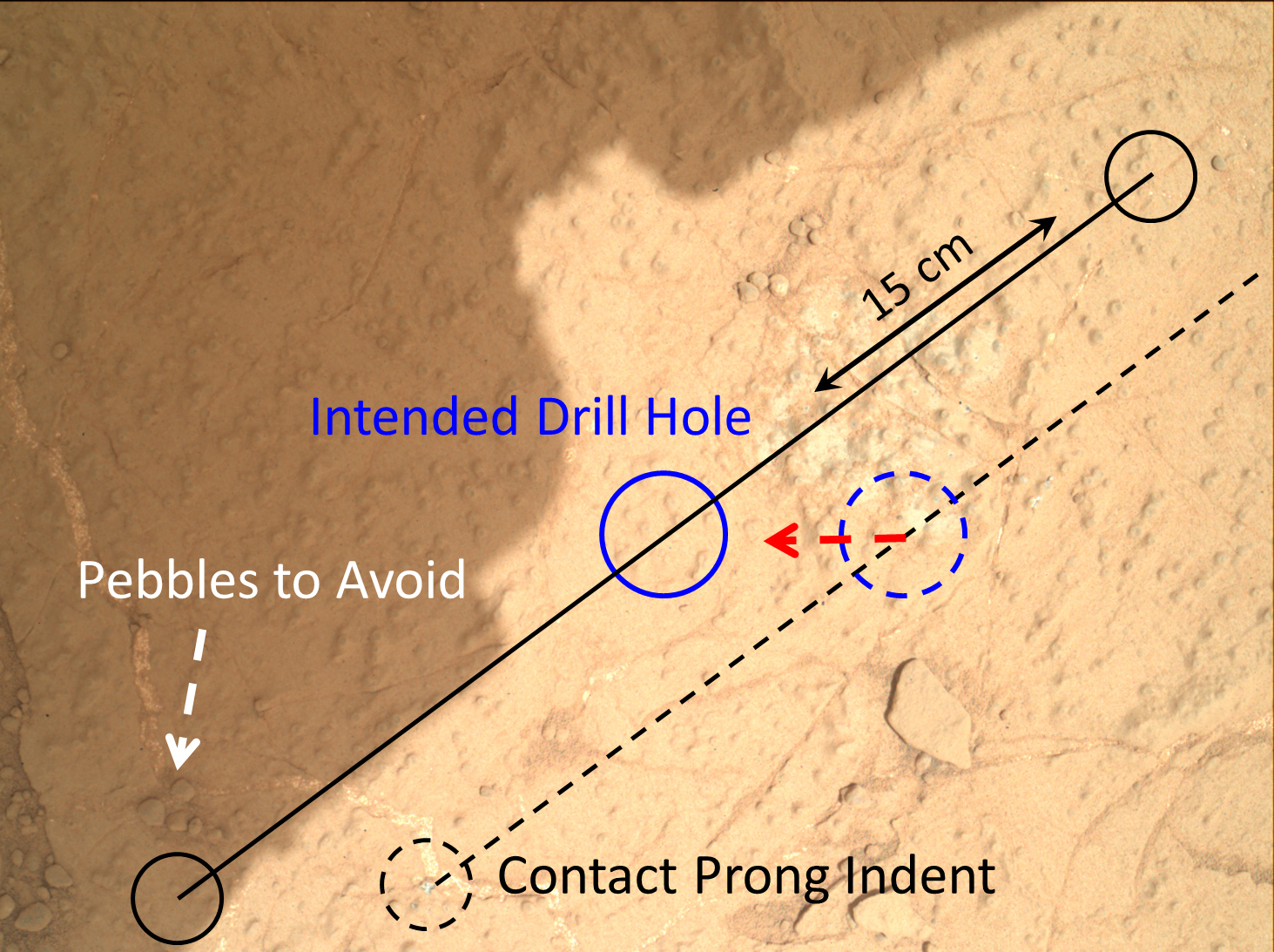
Annotated Image
Click on the image for larger versionThis image demonstrates how engineers place the drill carried by NASA's Mars rover Curiosity onto rock targets. They first set down the drill's two stabilizing prongs near the target, as shown by the dashed line. From there, they assess the placement of the prongs in relation to the target to determine the correct, final placement of the drill. This approach allows for higher accuracy, both to hit the target and avoid placing a prong on unstable areas or pebbles.
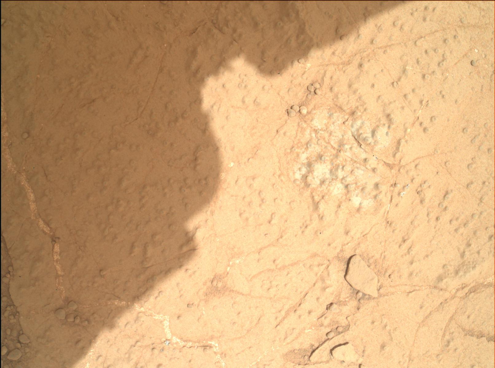
This image of the "Cumberland" drill target was taken by the Mars Hand Lens Imager (MAHLI) on the 279th Martian day, or sol, of the mission (May 19, 2013), from a distance of 9.8 inches (25 centimeters).
Malin Space Science Systems, San Diego, developed, built and operates MAHLI. NASA's Jet Propulsion Laboratory, Pasadena, Calif., manages the Mars Science Laboratory Project and the mission's Curiosity rover for NASA's Science Mission Directorate in Washington. The rover was designed and assembled at JPL, a division of the California Institute of Technology in Pasadena.
More information about Curiosity is online at http://www.nasa.gov/msl and http://mars.jpl.nasa.gov/msl/.
