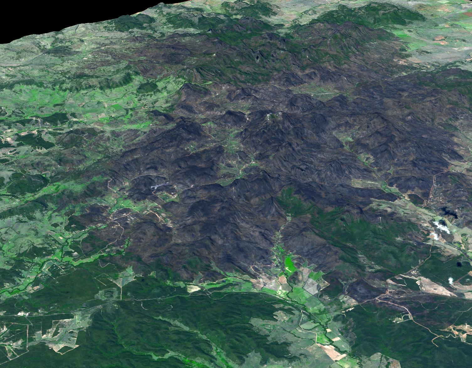
In mid-January, 2013, a massive wildfire damaged Australia's largest optical astronomy facility, the Siding Spring Observatory, causing significant damage. All of the workers were safely evacuated, but five buildings, including a visitors' center and lodge, were badly damaged. The facility remains closed while the extent of damage is assessed. Australia has suffered both its hottest summer on record, and a devastating wildfire season. This was one of numerous large fires that have devastated the country.
This 3-D perspective view image was created from data acquired Feb. 4, 2013, by the Advanced Spaceborne Thermal Emission and Reflection Radiometer (ASTER) instrument on NASA's Terra spacecraft. The image is located near 31.2 degrees south latitude, 149 degrees east longitude.
With its 14 spectral bands from the visible to the thermal infrared wavelength region and its high spatial resolution of 15 to 90 meters (about 50 to 300 feet), ASTER images Earth to map and monitor the changing surface of our planet. ASTER is one of five Earth-observing instruments launched Dec. 18, 1999, on Terra. The instrument was built by Japan's Ministry of Economy, Trade and Industry. A joint U.S./Japan science team is responsible for validation and calibration of the instrument and data products.
The broad spectral coverage and high spectral resolution of ASTER provides scientists in numerous disciplines with critical information for surface mapping and monitoring of dynamic conditions and temporal change. Example applications are: monitoring glacial advances and retreats; monitoring potentially active volcanoes; identifying crop stress; determining cloud morphology and physical properties; wetlands evaluation; thermal pollution monitoring; coral reef degradation; surface temperature mapping of soils and geology; and measuring surface heat balance.
The U.S. science team is located at NASA's Jet Propulsion Laboratory, Pasadena, Calif. The Terra mission is part of NASA's Science Mission Directorate, Washington, D.C.
More information about ASTER is available at http://asterweb.jpl.nasa.gov/.
 Planetary Data System


