
Map Projected Browse Image
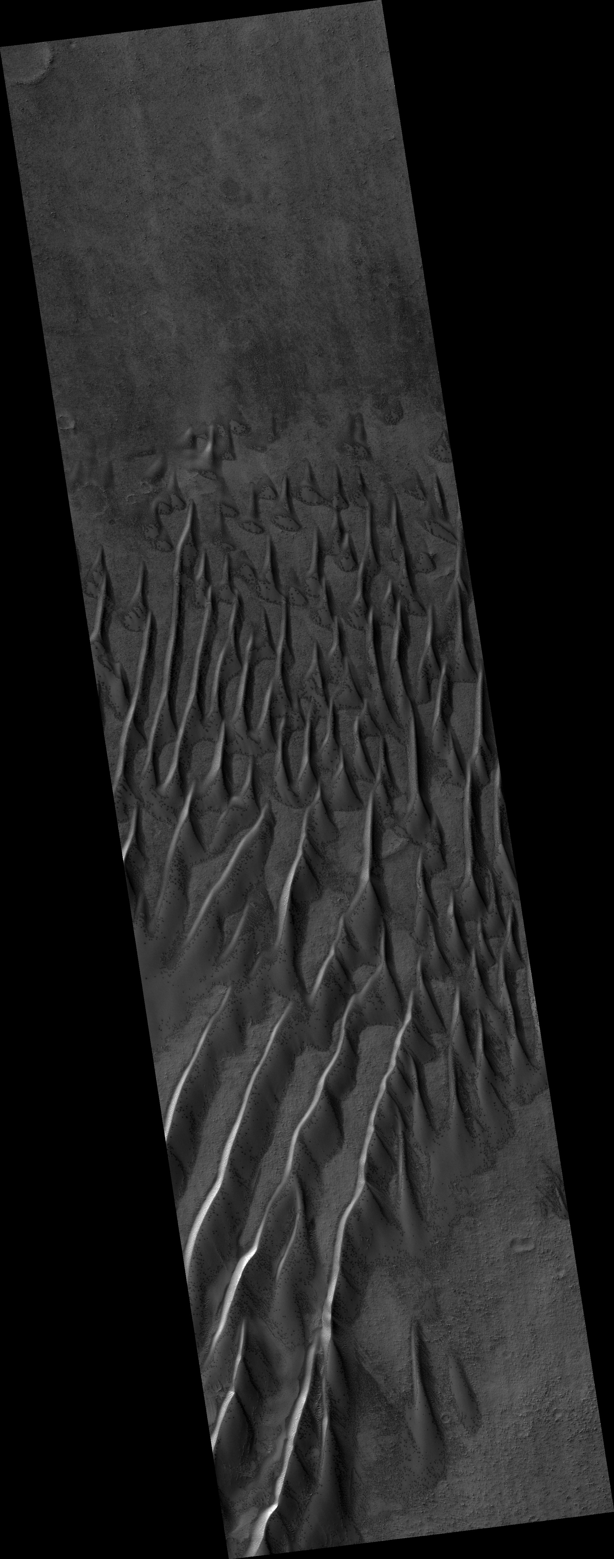
Click on the image for larger versionSand dunes cover much of this terrain, which has large boulders lying on flat areas between the dunes.
It is now late winter here in the Southern hemisphere, and these dunes are just getting enough sunlight to start defrosting their seasonal cover of carbon dioxide. Spots form where pressurized carbon dioxide gas escapes to the surface.
This is part of a stereo pair, so be sure to look at the stereo anaglyph.
This is a stereo pair with ESP_045245_1205.
The University of Arizona, Tucson, operates HiRISE, which was built by Ball Aerospace & Technologies Corp., Boulder, Colo. NASA's Jet Propulsion Laboratory, a division of the California Institute of Technology in Pasadena, manages the Mars Reconnaissance Orbiter Project for NASA's Science Mission Directorate, Washington.
