PIA15880: Valley Networks in the Ancient Martian Highlands
 Target Name:  Mars
 Is a satellite of:  Sol (our sun)
 Mission:  Mars Reconnaissance Orbiter (MRO)
 Spacecraft:  Mars Reconnaissance Orbiter (MRO)
 Instrument:  HiRISE
 Product Size:  2880 x 1800 pixels (w x h)
 Produced By:  University of Arizona/HiRISE-LPL
 Other  
Information: 
Other products from ESP_045299_1545
 Full-Res TIFF:  PIA15880.tif (15.56 MB)
 Full-Res JPEG:  PIA15880.jpg (1.328 MB)

Click on the image above to download a moderately sized image in JPEG format (possibly reduced in size from original)

Original Caption Released with Image:

Click here for larger version of PIA15880
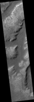
Map Projected Browse Image
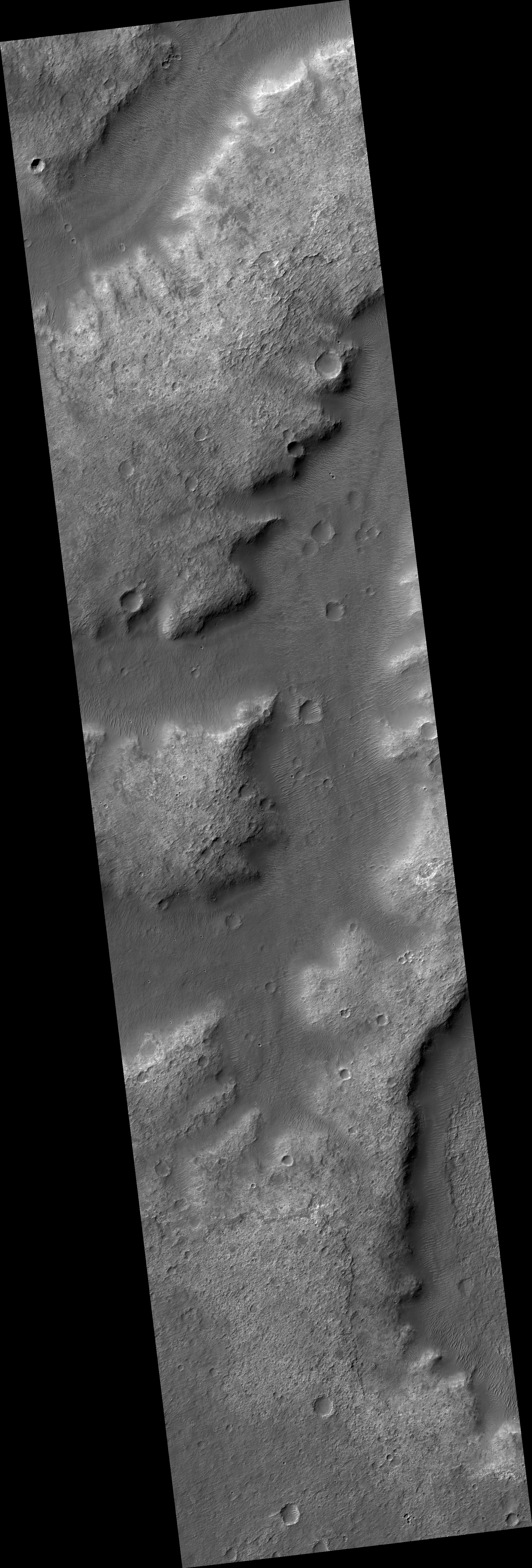
Click on the image for larger version

The valley networks on Mars are terrains eroded by flowing water billions of years ago.

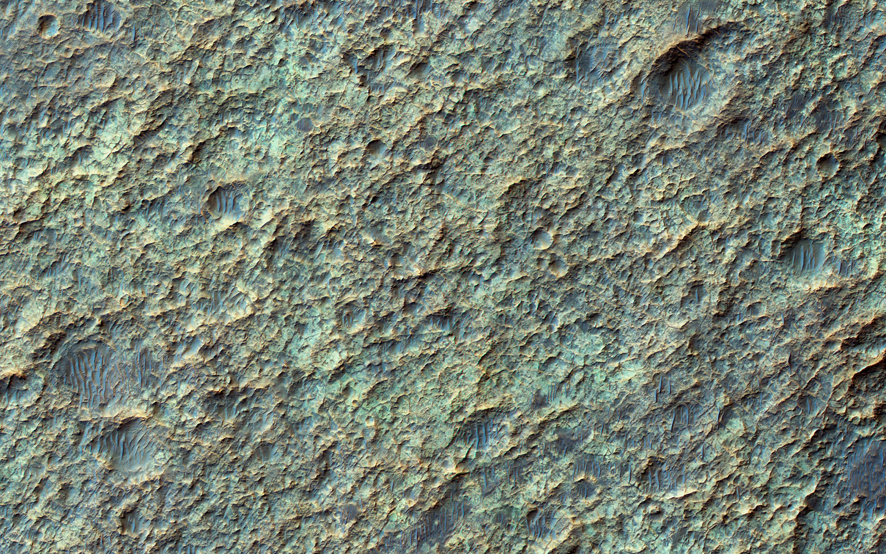
In places where the bedrock is well exposed, we often see a variety of colors due to altered minerals and polygonal patterns perhaps due to wet, clay-rich deposits.

The University of Arizona, Tucson, operates HiRISE, which was built by Ball Aerospace & Technologies Corp., Boulder, Colo. NASA's Jet Propulsion Laboratory, a division of the California Institute of Technology in Pasadena, manages the Mars Reconnaissance Orbiter Project for NASA's Science Mission Directorate, Washington.

Image Credit:
NASA/JPL-Caltech/Univ. of Arizona

Image Addition Date:
2016-05-18