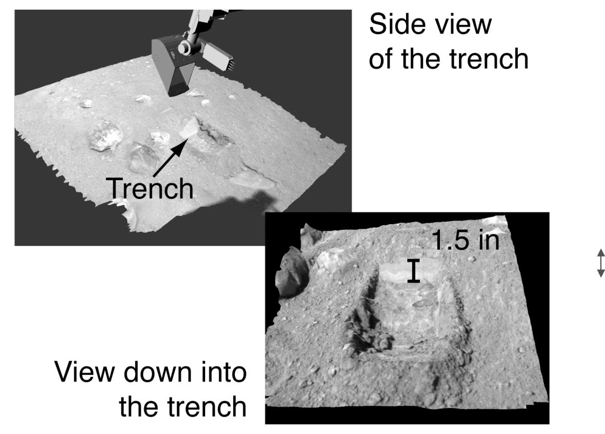
This image shows oblique views of NASA's Phoenix Mars Lander's trench visualized using the NASA Ames Viz software package that allows interactive movement around terrain and measurement of features. The Surface Stereo Imager images are used to create a digital elevation model of the terrain. The trench is 1.5 inches deep. The top image was taken on the seventh Martian day of the mission, or Sol 7 (June 1, 2008). The bottom image was taken on the ninth Martian day of the mission, or Sol 9 (June 3, 2008).
The Phoenix Mission is led by the University of Arizona, Tucson, on behalf of NASA. Project management of the mission is by NASA's Jet Propulsion Laboratory, Pasadena, Calif. Spacecraft development is by Lockheed Martin Space Systems, Denver.
Photojournal Note: As planned, the Phoenix lander, which landed May 25, 2008 23:53 UTC, ended communications in November 2008, about six months after landing, when its solar panels ceased operating in the dark Martian winter.