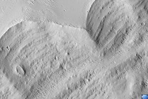
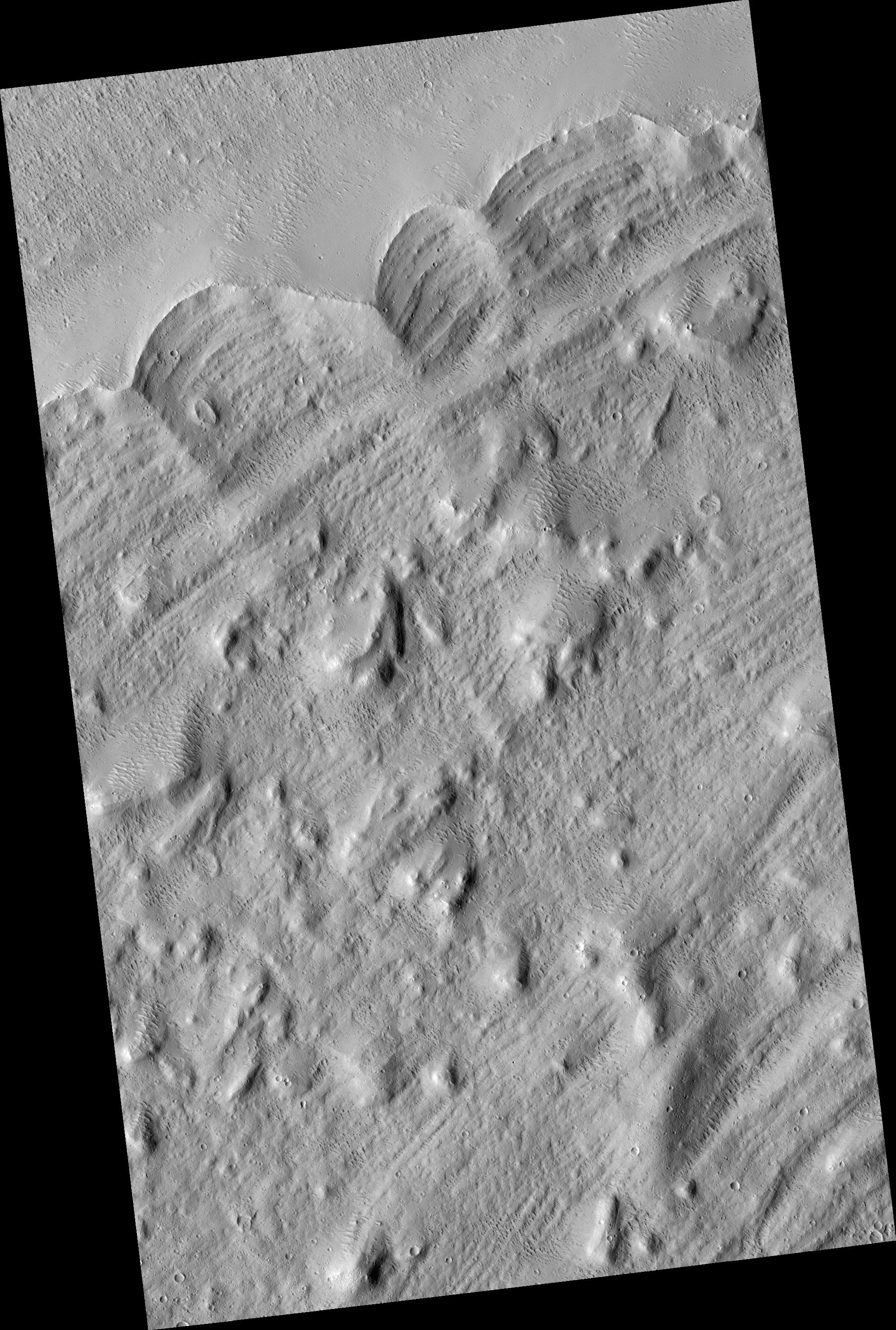
Click on image for larger versionOlympus Mons, the largest volcano in the Solar System, has a mysterious halo (aureole) of material on its western and northern sides. There have been many ideas about how this feature may have formed over the years, but the hypothesis that this is a giant landslide deposit has gained favor.
Many large volcanoes on the Earth collapse under their own weight, so it seems reasonable that Olympus Mons would do the same. The edge of the aureole is seen at the top (northern) part of the image (PSP_002184_2005).
It is interesting that the main part of the aureole seems sunk down compared to the edge. It is possible that the ridge along the outer margin of the aureole formed as the flow turned around after pushing uphill for a ways. Imagine a giant wave of rock pushing up onto the "beach" and then receding. It might leave a deposit like this.
Alternatively, glaciers push up a ramp of rock at their fronts. After they retreat, the ridge of rock is left at the furthest extent of the glacier. These are called "terminal moraines" by geologists. Many large volcanoes on the Earth collapse under their own weight, so it seems reasonable that Olympus Mons would do the same. The edge of the aureole is seen at the top (northern) part of the image.
Observation Toolbox
Acquisition date: 1 January 2007
Local Mars time: 3:36 PM
Degrees latitude (centered): 20.1°
Degrees longitude (East): 219.7°
Range to target site: 282.2 km (176.4 miles)
Original image scale range: 56.5 cm/pixel (with 2 x 2 binning) so objects ~169 cm across are resolved
Map-projected scale: 50 cm/pixel and north is up
Map-projection: EQUIRECTANGULAR
Emission angle: 2.8°
Phase angle: 51.7°
Solar incidence angle: 54°, with the Sun about 36° above the horizon
Solar longitude: 166.1°, Northern Summer
NASA's Jet Propulsion Laboratory, a division of the California Institute of Technology in Pasadena, manages the Mars Reconnaissance Orbiter for NASA's Science Mission Directorate, Washington. Lockheed Martin Space Systems, Denver, is the prime contractor for the project and built the spacecraft. The High Resolution Imaging Science Experiment is operated by the University of Arizona, Tucson, and the instrument was built by Ball Aerospace and Technology Corp., Boulder, Colo.
 Planetary Data System


