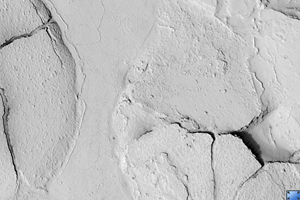
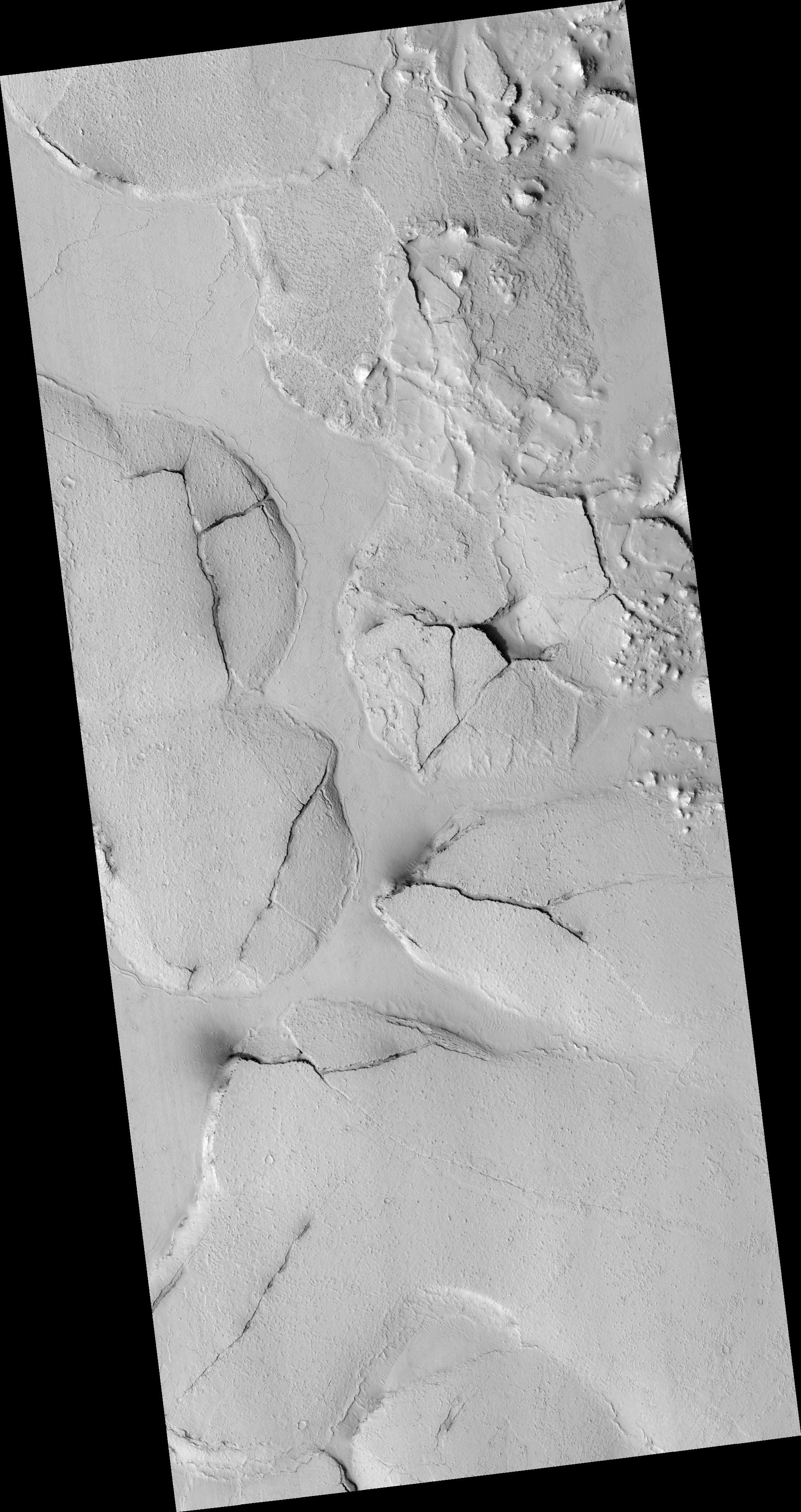
Click on image for larger versionThis HiRISE image (PSP_003597_1765), shows fractured mounds on the southern edge of Elysium Planitia.
The mounds are typically a few kilometers in diameter and about 200 feet tall. The fractures that crisscross their surfaces are dilational (extensional) in nature, suggesting that the mounds formed by localized uplift (i.e., they were pushed up from below).
The mounds are probably composed of solidified lava. They are contiguous with, and texturally similar to, the flood lavas that blanket much of Elysium Planitia, and, where dilation cracks provide cross-sectional exposure, the uplifted material is rocky.
Patches of mechanically weak and disrupted material overlie the rocky mound material. This is particularly conspicuous in the northeast corner of the HiRISE image. These patches may be remnants of a layer that was once more continuous but has been extensively eroded. Smooth lava plains fill the low-lying areas between the mounds. They are riddled with sinuous pressure ridges. The entire area is covered by a relatively thin layer of dust and sand.
Observation Toolbox
Acquisition date: 5 May 2007
Local Mars time: 3:35 PM
Degrees latitude (centered): -3.3°
Degrees longitude (East): 167.9°
Range to target site: 290.3 km (181.4 miles)
Original image scale range: 29.0 cm/pixel (with 1 x 1 binning) so objects ~87 cm across are resolved
Map-projected scale: 25 cm/pixel and north is up
Map-projection: EQUIRECTANGULAR
Emission angle: 22.9°
Phase angle: 33.1°
Solar incidence angle: 55°, with the Sun about 35° above the horizon
Solar longitude: 231.0°, Northern Autumn
NASA's Jet Propulsion Laboratory, a division of the California Institute of Technology in Pasadena, manages the Mars Reconnaissance Orbiter for NASA's Science Mission Directorate, Washington. Lockheed Martin Space Systems, Denver, is the prime contractor for the project and built the spacecraft. The High Resolution Imaging Science Experiment is operated by the University of Arizona, Tucson, and the instrument was built by Ball Aerospace and Technology Corp., Boulder, Colo.
 Planetary Data System


