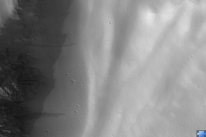
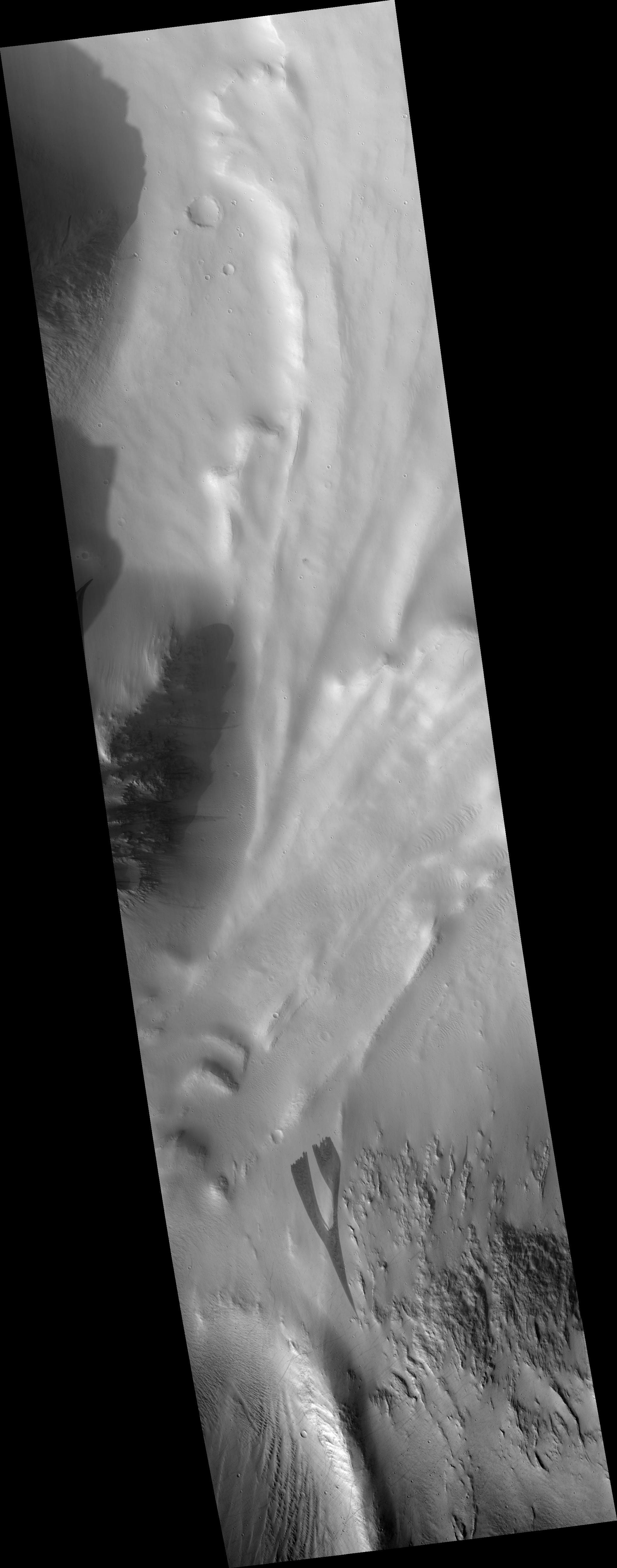
Click on image for larger versionThis is a portion of HiRISE image PSP_003542_2035 which shows a dark slope streak north of Olympus Mons, in a region was covered by Mars Orbital Camera image R09/00701. (This portion is rotated with south up so that the direction the streak flowed is towards the bottom of the frame).
This image shows that the slope streak forming process altered the pre-existing surface both by excavating material and depositing it. The fine scalloped texture of the surrounding surface is not present within the streak, and there are low linear mounds within the streak that are not seen outside. Their absence outside the streak indicates that the formation of the mounds resulted from the streak formation process.
There is a large boulder or knob within the streak near the top of the frame which the dark slope streak appears to have flowed around, leaving a light-toned patch of the surrounding surface material intact downstream of the boulder.
Observation Toolbox
Acquisition date: 4 April 2007
Local Mars time: 3:22 PM
Degrees latitude (centered): 23.3°
Degrees longitude (East): 223.7°
Range to target site: 285.3 km (178.3 miles)
Original image scale range: 28.5 cm/pixel (with 1 x 1 binning) so objects ~86 cm across are resolved
Map-projected scale: 25 cm/pixel and north is up
Map-projection: EQUIRECTANGULAR
Emission angle: 7.6°
Phase angle: 71.6°
Solar incidence angle: 65°, with the Sun about 25° above the horizon
Solar longitude: 228.3°, Northern Autumn
NASA's Jet Propulsion Laboratory, a division of the California Institute of Technology in Pasadena, manages the Mars Reconnaissance Orbiter for NASA's Science Mission Directorate, Washington. Lockheed Martin Space Systems, Denver, is the prime contractor for the project and built the spacecraft. The High Resolution Imaging Science Experiment is operated by the University of Arizona, Tucson, and the instrument was built by Ball Aerospace and Technology Corp., Boulder, Colo.
 Planetary Data System


