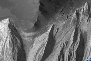
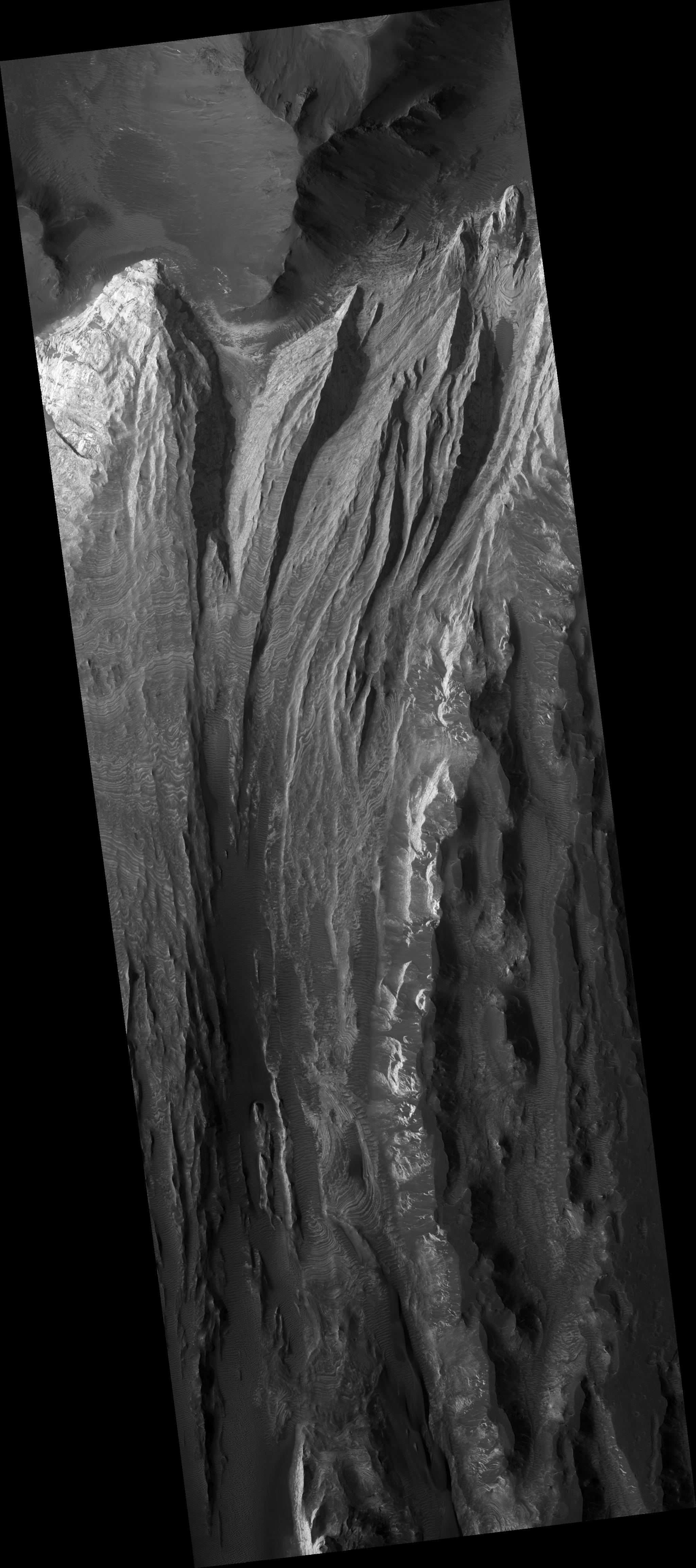
Click on image for larger versionThis HiRISE image (PSP_002946_1765) shows a portion of interior layered deposits (ILD) in Juventae Chasma.
Juventae Chasma is a large depression near the equatorial canyon system Valles Marineris. The scene is along the top of a mound of layered deposits on the floor of Juventae Chasma. Dunes are seen in the low-lying, darker regions. Very fine layers are also seen (see subimage, approximately 1 km across). Understanding what kinds of materials formed the layers, how they were set in place, and how they have evolved will provide insight into Martian geologic history.
Many of the Martian chasmata (plural of chasma) contain ILD like these. The ILD were deposited a long time ago, but the actual method is unknown. It has been suggested that sedimentary layers in standing bodies of water or volcanic ash deposits comprise the ILD. The alternating layers could indicate regular, repeating cycles of deposition. It is possible that these layers once covered the entire chasma floor.
The IDL shown here have been modified by wind erosion. The yardangs seen near the top right of the image are evidence for wind sculpting of the deposits. It is interesting to note that there are very few craters in this scene, especially in the areas with visible layers. One crater can be found about half-way down the left side of the image amidst layers, and several craters are seen in the dark material on the right side of the image. This suggests that the ILD are eroding here fast enough to erase small craters before large numbers of them can accumulate.
Observation Toolbox
Acquisition date: 3 March 2007
Local Mars time: 3:40 PM
Degrees latitude (centered): -3.3°
Degrees longitude (East): 298.3°
Range to target site: 267.9 km (167.5 miles)
Original image scale range: 26.8 cm/pixel (with 1 x 1 binning) so objects ~80 cm across are resolved
Map-projected scale: 25 cm/pixel and north is up
Map-projection: EQUIRECTANGULAR
Emission angle: 6.7°
Phase angle: 61.6°
Solar incidence angle: 55°, with the Sun about 35° above the horizon
Solar longitude: 199.8°, Northern Autumn
NASA's Jet Propulsion Laboratory, a division of the California Institute of Technology in Pasadena, manages the Mars Reconnaissance Orbiter for NASA's Science Mission Directorate, Washington. Lockheed Martin Space Systems, Denver, is the prime contractor for the project and built the spacecraft. The High Resolution Imaging Science Experiment is operated by the University of Arizona, Tucson, and the instrument was built by Ball Aerospace and Technology Corp., Boulder, Colo.
 Planetary Data System


