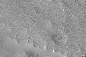
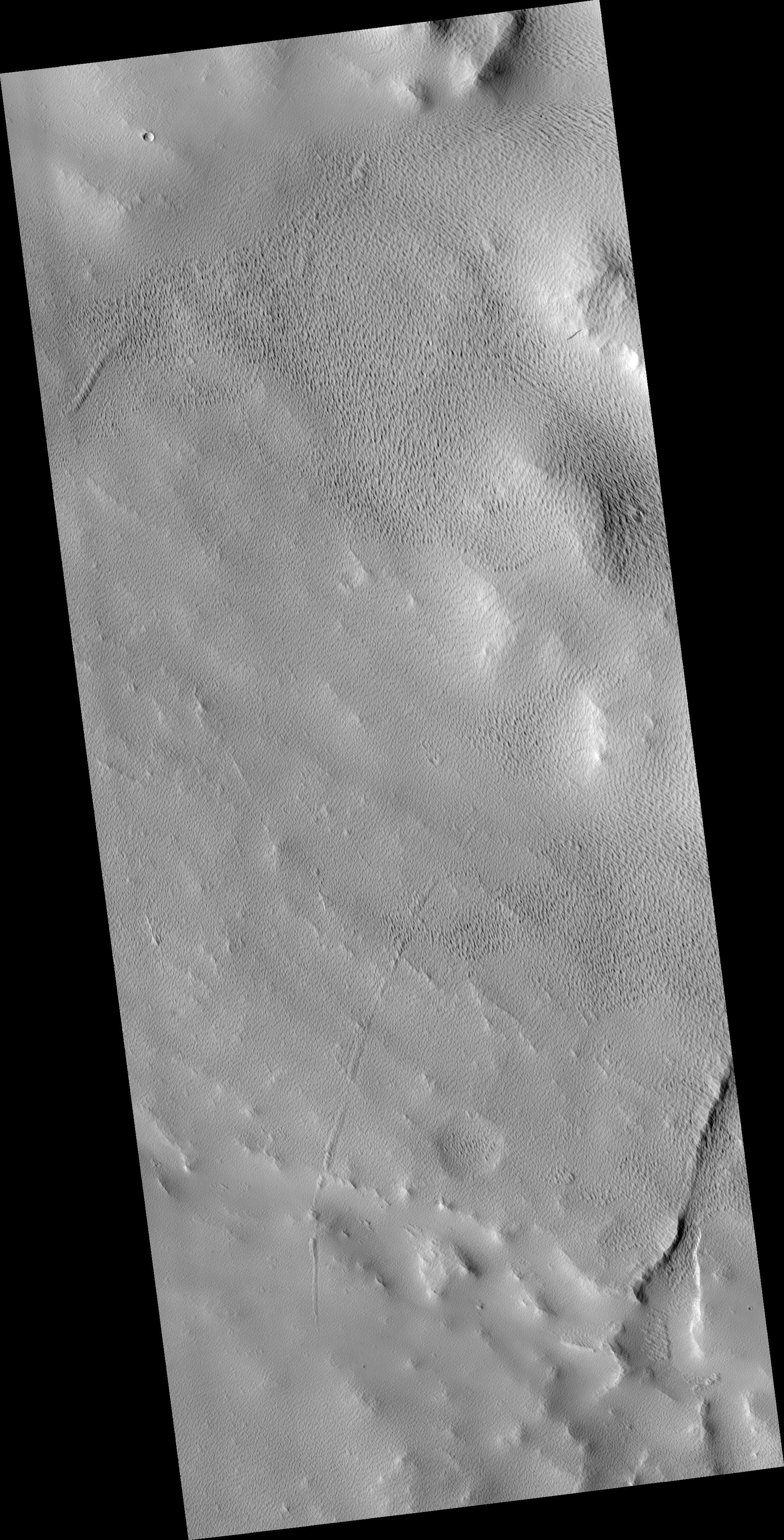
Click on image for larger versionThis HiRISE image (PSP_002196_1920) shows a part of the western flank of Ascraeus Mons. Ascraeus Mons is one of the giant volcanoes of the Tharsis volcanic region of Mars.
It is a shield volcano, so named because of the gently-sloped round shape. Terrestrial examples, like Mauna Loa and Kilauea on Hawaii, are formed mostly by repeated eruptions of fluid (basaltic) lava. Martian volcanoes can attain much larger sizes partiallly because Mars lacks plate tectonics, allowing eruptions to persist at the same site for a long time.
In this HiRISE image, the surface is covered by a mantle of dusty material which obscured the underlying surface. This has been sculpted into regular textures, probably by aeolian (wind) erosion. It appears that there are multiple layers, as the southeast portion of the image shows textured knobs standing above a similarly patterned surface. The origin of the dusty mantle is unclear. It could be wind-blown dust, but it is also possible that some of it is volcanic ash erupted from Ascraeus Mons.
Observation Geometry
Acquisition date: 1 January 2007
Local Mars time: 3:36 PM
Degrees latitude (centered): 11.7 °
Degrees longitude (East): 252.5 °
Range to target site: 271.4 km (169.6 miles)
Original image scale range: 54.3 cm/pixel (with 2 x 2 binning) so objects ~163 cm across are resolved
Map-projected scale: 50 cm/pixel and north is up
Map-projection: EQUIRECTANGULAR
Emission angle: 5.1 °
Phase angle: 58.7 °
Solar incidence angle: 54 °, with the Sun about 36 ° above the horizon
Solar longitude: 166.6 °, Northern Summer
NASA's Jet Propulsion Laboratory, a division of the California Institute of Technology in Pasadena, manages the Mars Reconnaissance Orbiter for NASA's Science Mission Directorate, Washington. Lockheed Martin Space Systems, Denver, is the prime contractor for the project and built the spacecraft. The High Resolution Imaging Science Experiment is operated by the University of Arizona, Tucson, and the instrument was built by Ball Aerospace and Technology Corp., Boulder, Colo.
 Planetary Data System


