
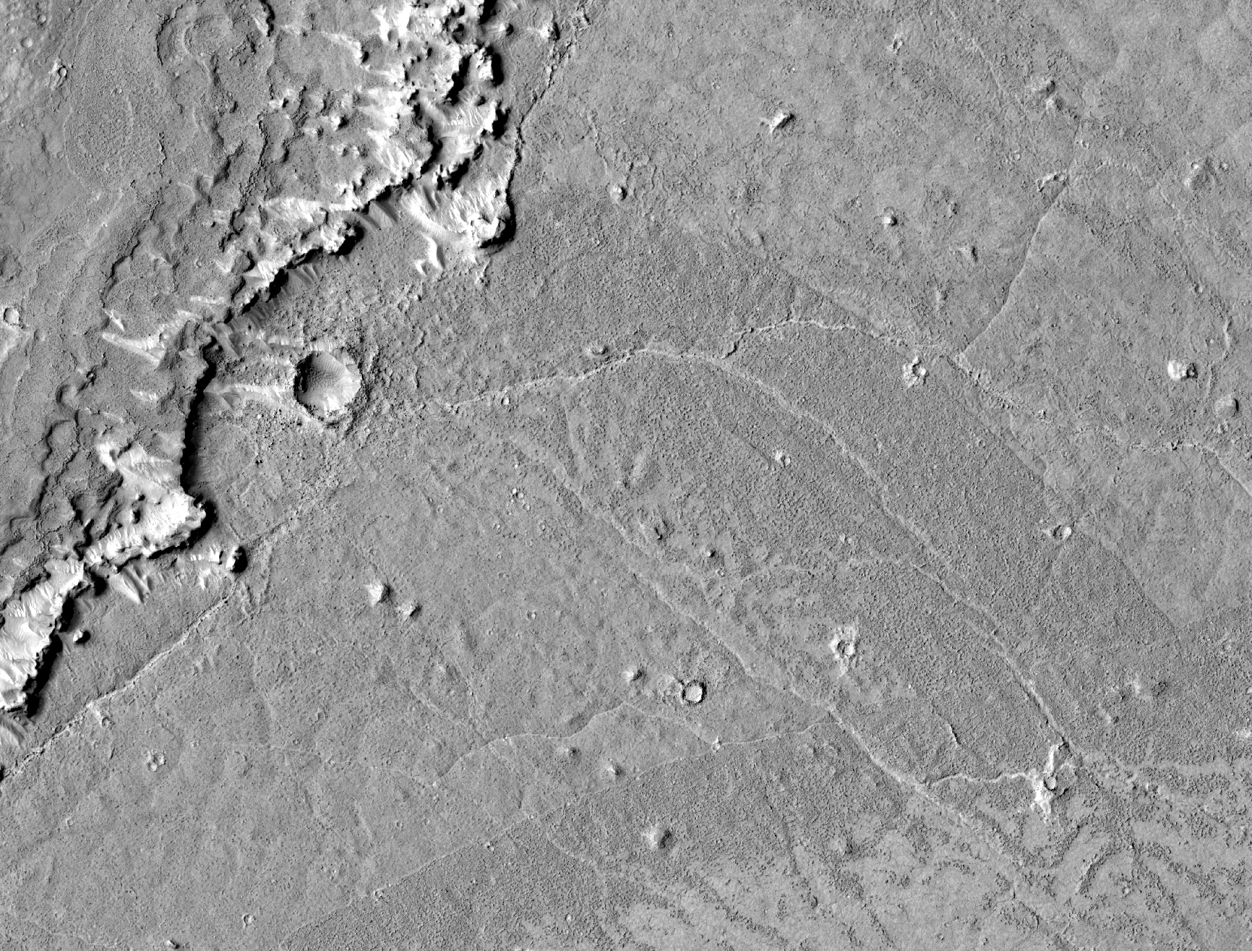
Click on image for larger versionThin flows cover the plains just north of the source region for the Athabasca Valles channel system. The flows are mostly confined by a scarp (cliff) in the northwest corner of the image. The more heavily cratered terrain above the scarp is part of a tectonic ridge known as a wrinkle ridge. A few flows can be seen atop the wrinkle ridge, but they are not as ubiquitous as those on the plains below. The flows on the plains frequently intersect, with younger ones cutting across older ones. The prominent dark swathes along their edges have particularly rough textures. The darker shade is due to thousands of shadows cast by small bumps on the surface, which HiRISE is able to resolve. Dozens of bright, narrow rifts (cracks) zigzag across the flows. They appear bright because they are filled with light-toned, windblown material. Wind-sculpted knobs and ridges of similar light-toned material are scattered throughout the imaged area. The orientations of the ridges indicate that the winds primarily blow from the southeast. Several impact craters are captured in this image, the largest being about 50 meters (160 feet) in diameter. Many bear the distinctive bright rays characteristic of secondary craters associated with the larger impact crater, Zunil. Some craters penetrated the surface of the flows, and the boulders strewn around them suggest that the material they excavated was rocky.
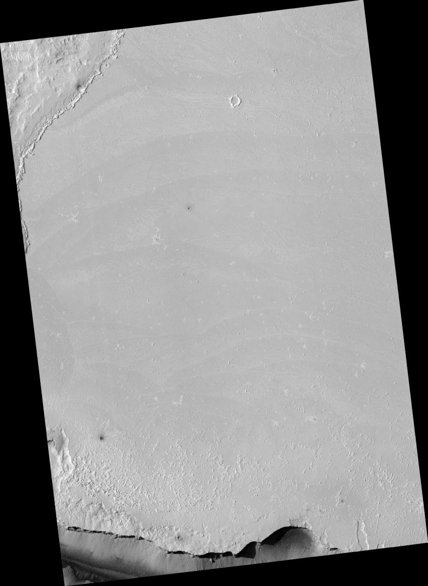
Image PSP_001408_1900 was taken by the High Resolution Imaging Science Experiment (HiRISE) camera onboard the Mars Reconnaissance Orbiter spacecraft on November 14, 2006. The complete image is centered at 10.0 degrees latitude, 158.0 degrees East longitude. The range to the target site was 274.3 km (171.4 miles). At this distance the image scale is 27.4 cm/pixel (with 1 x 1 binning) so objects ~82 cm across are resolved. The image shown here [below] has been map-projected to 25 cm/pixel and north is up. The image was taken at a local Mars time of 3:29 PM and the scene is illuminated from the west with a solar incidence angle of 51 degrees, thus the sun was about 39 degrees above the horizon. At a solar longitude of 135.1 degrees, the season on Mars is Northern Summer.
NASA's Jet Propulsion Laboratory, a division of the California Institute of Technology in Pasadena, manages the Mars Reconnaissance Orbiter for NASA's Science Mission Directorate, Washington. Lockheed Martin Space Systems, Denver, is the prime contractor for the project and built the spacecraft. The High Resolution Imaging Science Experiment is operated by the University of Arizona, Tucson, and the instrument was built by Ball Aerospace and Technology Corp., Boulder, Colo.
 Planetary Data System


