In time to survive the Martian winter, NASA's Mars Exploration Rover Spirit has driven to and parked on a north-facing slope in the "Columbia Hills." This vantage point will optimize solar power during the upcoming winter season and maximize the vehicle's ability to communicate with the NASA Odyssey orbiter.
Top science priorities for the coming months are a detailed, 360-degree panorama using all 13 filters of the panoramic camera, a study of surface and subsurface soil properties, and monitoring of the atmosphere and its changes. The planned subsurface soil experiments will be a first for the Mars Exploration Rover mission. To conduct the study, Spirit will use the brush on the rock abrasion tool to carefully sweep away soil, much the way an archaeologist uses a brush to uncover artifacts. At each level, Spirit will measure the mineral and chemical properties and assess the physical nature (such as grain size, texture, hardness) of the material, using the Athena science instruments on the robotic arm. Of particular interest are vertical variations in soil characteristics that may indicate water-related deposition of sulfates and other minerals.
Panoramic images will provide important information about the nature and origin of surrounding rocks and soils. Spirit will also study the mineralogy of the surrounding terrain using the thermal emission spectrometer and search for surface changes caused by high winds. After the winter solstice in August, depending on energy levels, scientists may direct the rover to pivot around the disabled, right front wheel to get different targets within reach of the arm. When the winter season is over and solar energy levels rise again, scientists will direct Spirit to leave its winter campaign site and continue examining the "Columbia Hills."
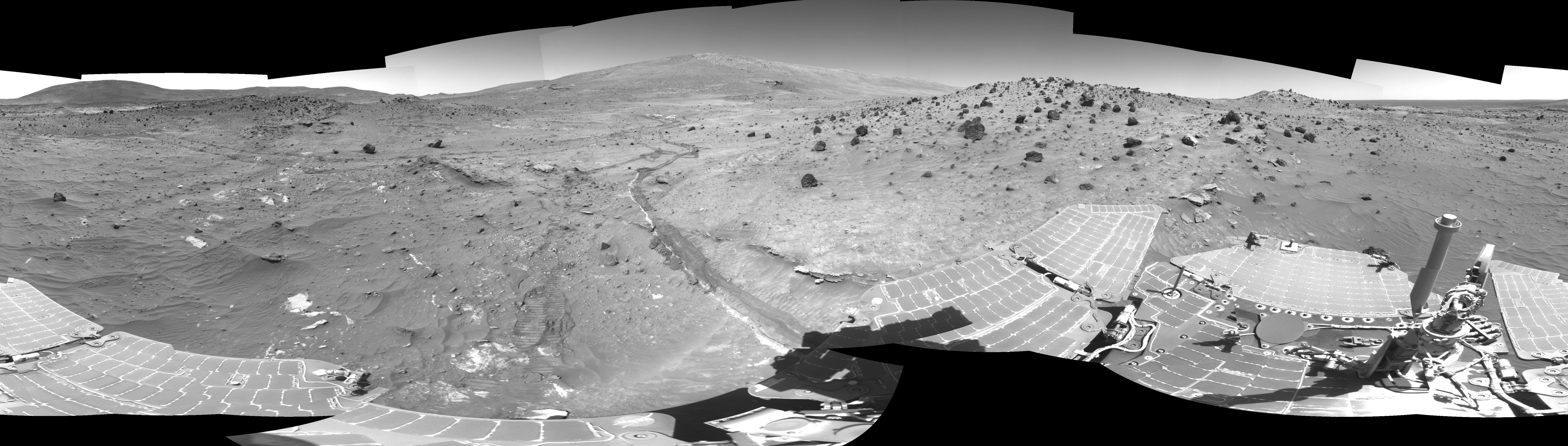
Spirit acquired the images in this mosaic with the navigation camera on the rover's 807th Martian day, or sol, of exploring Gusev Crater on Mars (April 11, 2006). Approaching from the east are the rover's tracks, including a shallow trench created by the dragging front wheel. On the horizon, in the center of the panorama, is "McCool Hill." This view is presented in a cylindrical projection with geometric seam correction.
 Planetary Data System


