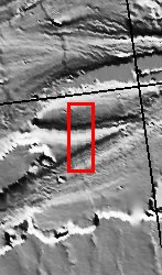
Kasei Vallis is our topic for the weeks of April 18 and 25. Originating on the margin of Lunae Planum, the Kasei Vallis complex contains two main channels that run east-west across Tempe Terra and empty into Chryse Planitia. During the week of April 18th we will concentrate on the northern branch of Kasei Vallis. The week of April 25 will be devoted to the southern branch.
The formation of Kasei Vallis is still being studied and several theories exist. It is thought that volcanic subsurfaceing heating in the Tharsis/Lunae Planum region resulted in a release of water, which carved the channels and produced the landforms seen within the channels. One theory is that this was a one-time catastropic event, another theory speculates that several flooding events occurred over a long time period. Others have proposed that some of the landforms (especially scour marks and teardrop shaped "islands") are the result of glacial flow rather than liquid flow. Teardrop shaped islands are common in terrestrial rivers, where the water is eroding material in the channel. A glacial feature called a drumlin has the exact same shape, but is formed by deposition beneath continental glaciers.
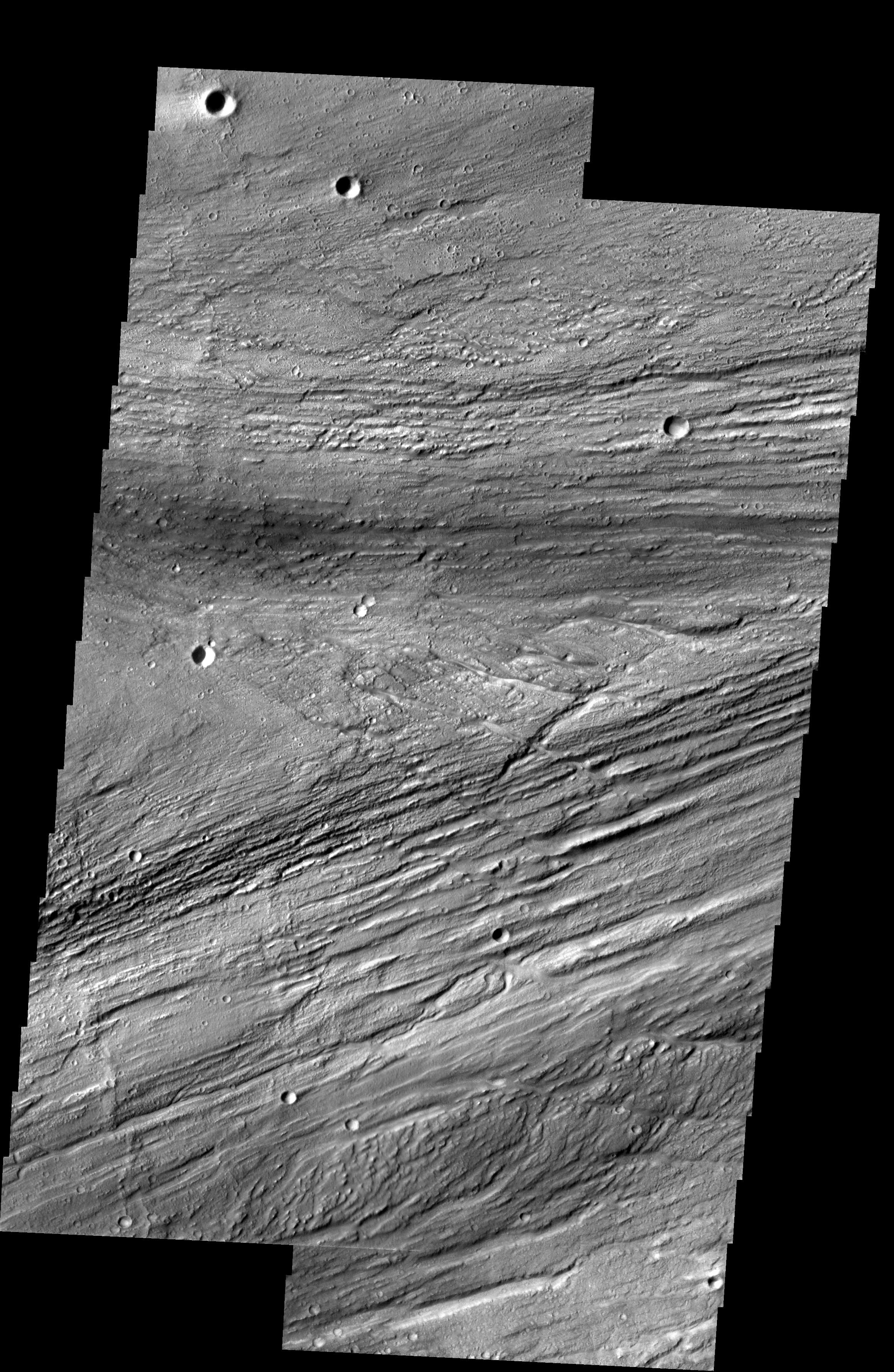
This two-image mosaic shows a region of the main channel where flows are rejoining at the tail of a large teardrop shaped island (center of image).
Image information: VIS instrument. Latitude 24.4 Longitude 299 East (61 West). 19 meter/pixel resolution.
Note: this THEMIS visual image has not been radiometrically nor geometrically calibrated for this preliminary release. An empirical correction has been performed to remove instrumental effects. A linear shift has been applied in the cross-track and down-track direction to approximate spacecraft and planetary motion. Fully calibrated and geometrically projected images will be released through the Planetary Data System in accordance with Project policies at a later time.
NASA's Jet Propulsion Laboratory manages the 2001 Mars Odyssey mission for NASA's Office of Space Science, Washington, D.C. The Thermal Emission Imaging System (THEMIS) was developed by Arizona State University, Tempe, in collaboration with Raytheon Santa Barbara Remote Sensing. The THEMIS investigation is led by Dr. Philip Christensen at Arizona State University. Lockheed Martin Astronautics, Denver, is the prime contractor for the Odyssey project, and developed and built the orbiter. Mission operations are conducted jointly from Lockheed Martin and from JPL, a division of the California Institute of Technology in Pasadena.
