Released August 31, 2004
The THEMIS Image of the Day will be exploring the nomenclature of Mars for the next three weeks.
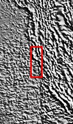
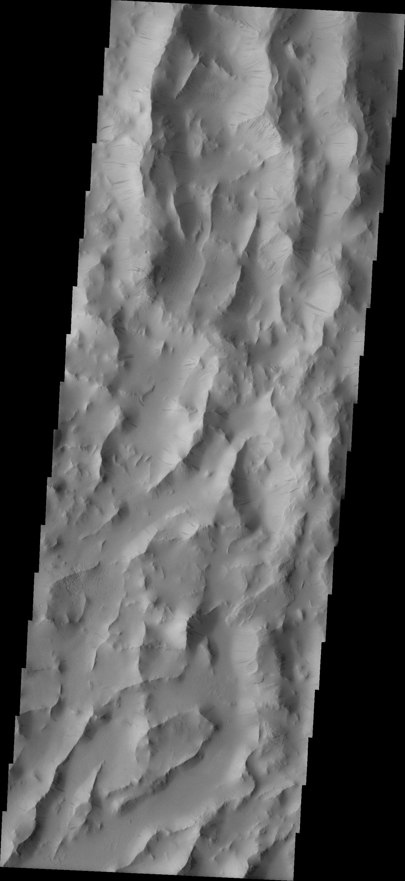
Lycus Sulci
- Sulci: subparallel furrows and ridges
- Lycus: King Lycus of Thebes. Uncle of Antiope, he honored his brother's deathbed wish to bring the girl home to Thebes. Lycus marched his army to Sicyon, slew Antiope's husband and brought her home to a life of hardship and cruelty.
Lycus Sulci is a lowlying area of ridges and valleys found to the northwest of Olympus Mons. It is not yet understood how this feature formed or how it relates to the formation of Olympus Mons itself. The VIS image above shows the ridge forms that are typical of this region.
Nomenclature Fact of the Day: With the Cassini Spacecraft now in orbit around Saturn, we will be getting new images of the Solar System's largest moon, Titan. The IAU has already decided on the types of names for different features on Titan.
Image information: VIS instrument. Latitude 22.1, Longitude 212.8 East (147.2 West). 19 meter/pixel resolution.
Note: this THEMIS visual image has not been radiometrically nor geometrically calibrated for this preliminary release. An empirical correction has been performed to remove instrumental effects. A linear shift has been applied in the cross-track and down-track direction to approximate spacecraft and planetary motion. Fully calibrated and geometrically projected images will be released through the Planetary Data System in accordance with Project policies at a later time.
NASA's Jet Propulsion Laboratory manages the 2001 Mars Odyssey mission for NASA's Office of Space Science, Washington, D.C. The Thermal Emission Imaging System (THEMIS) was developed by Arizona State University, Tempe, in collaboration with Raytheon Santa Barbara Remote Sensing. The THEMIS investigation is led by Dr. Philip Christensen at Arizona State University. Lockheed Martin Astronautics, Denver, is the prime contractor for the Odyssey project, and developed and built the orbiter. Mission operations are conducted jointly from Lockheed Martin and from JPL, a division of the California Institute of Technology in Pasadena.
 Planetary Data System


