- Original Caption Released with Image:
-
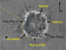
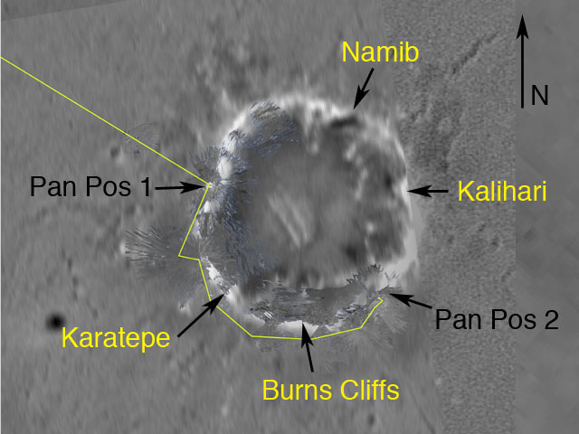
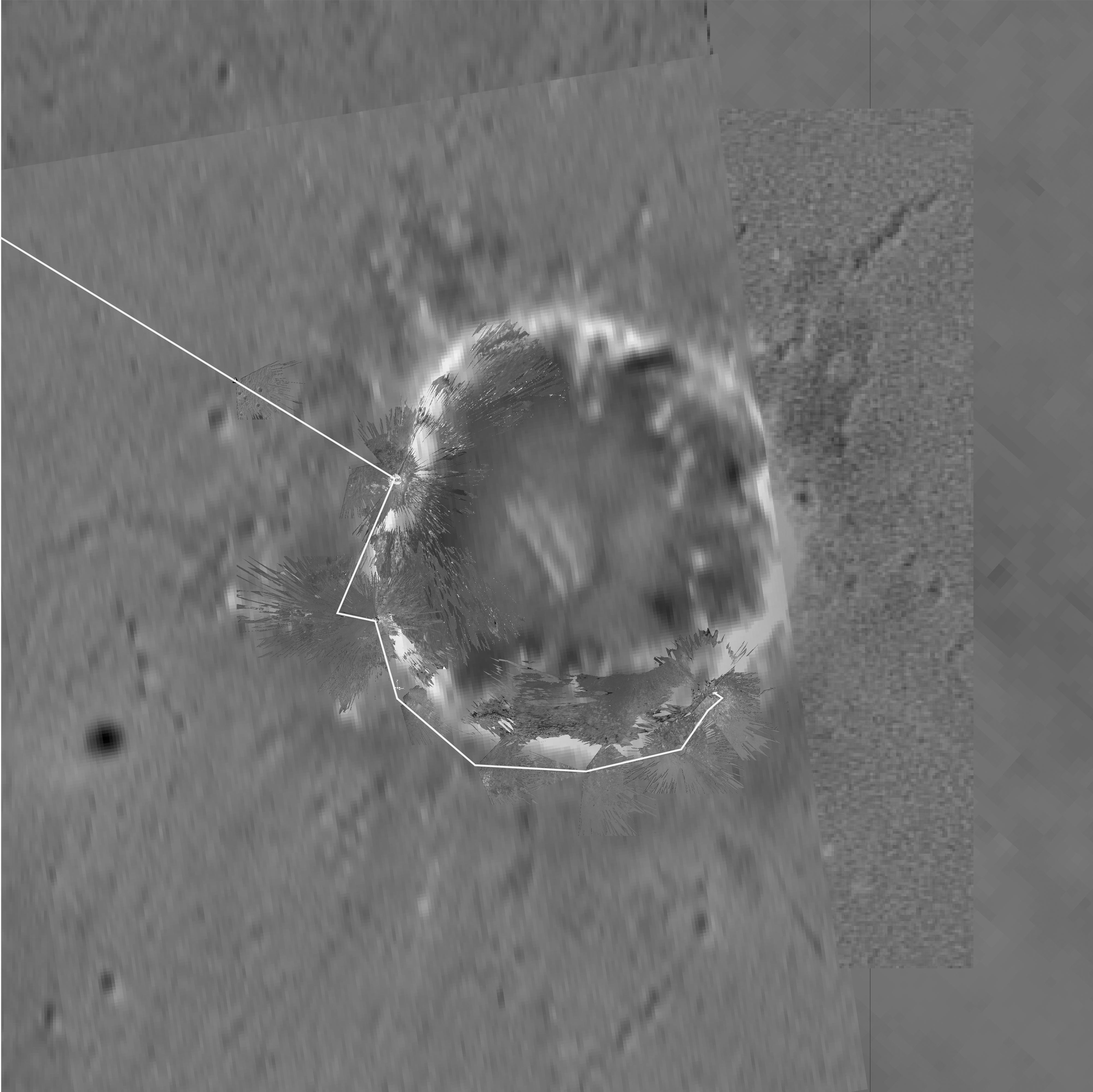
Figure 1This map of "Endurance" Crater was made by combining images from the camera on NASA's orbiting Mars Global Surveyor with images from the NASA Mars Exploration Rover Opportunity descent image motion estimation system, panoramic and navigation cameras. The overhead view shows the rover's surroundings as of sol 148 (June 2, 2004). The yellow line to the left denotes the rover's path to this location, with "Panoramic Position 1" being its premier stop. The rover then traveled counter-clockwise around the crater's rim, stopping at locations nicknamed "Karatepe" and "Burns Cliffs" before heading to "Panoramic Position 2." Future targets around the rim include the areas nicknamed "Kalahari" and "Namib." The rover is traversing these locations in order to find the best entry point to the crater. North is at the top of the image.
- Image Credit:
-
NASA/JPL/MSSS
Image Addition Date: -
2004-06-03
|
