Released 26 April 2004
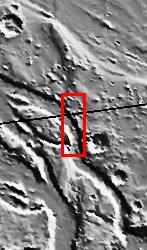
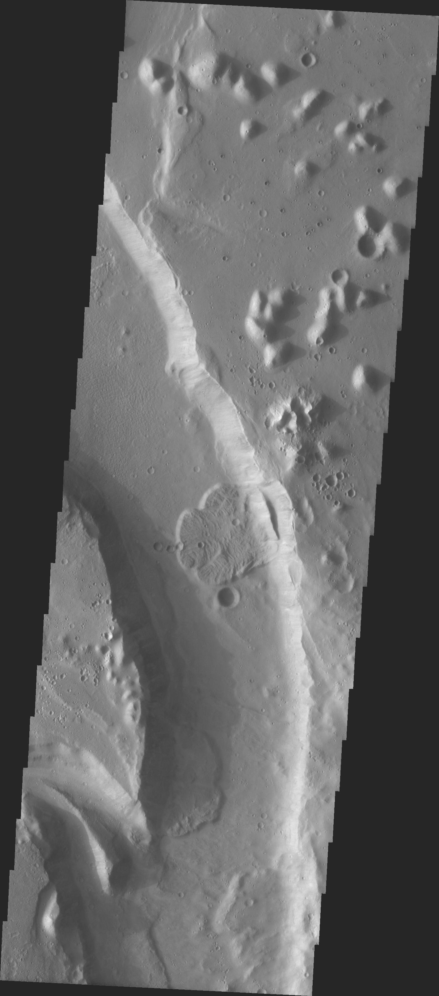
We began MSIP with 122 students divided into 24 teams. Each team created a proposal and, through the peer review process, seven proposals were selected. Two teams were formed to actually select a site. The Tiu Vallis site was selected by the "Water" group. In the context image there appeared to be several features that would result in deposition. The first was a "bend in the river." There also was a structure that looked like a confluence of two streams that would result in deposition. The actual THEMIS image is dominated by a channel. There also is a confluence at the bottom of the image. The channel contains three lobate flow deposits. One team went on to investigate the flows to see if they could determine their relative age.
Image information: VIS instrument. Latitude 14.8, Longitude 326.8 East (3.9 West). 19 meter/pixel resolution.
NASA and Arizona State University's Mars Education Program is offering students nationwide the opportunity to be involved in authentic Mars research by participating in the Mars Student Imaging Project (MSIP). Teams of students in grades 5 through college sophomore level have the opportunity to work with scientists, mission planners and educators on the THEMIS team at ASU's Mars Space Flight Facility, to image a site on Mars using the THEMIS visible wavelength camera. For more information go to the MSIP website: http://msip.asu.edu.
Note: this THEMIS visual image has not been radiometrically nor geometrically calibrated for this preliminary release. An empirical correction has been performed to remove instrumental effects. A linear shift has been applied in the cross-track and down-track direction to approximate spacecraft and planetary motion. Fully calibrated and geometrically projected images will be released through the Planetary Data System in accordance with Project policies at a later time.
NASA's Jet Propulsion Laboratory manages the 2001 Mars Odyssey mission for NASA's Office of Space Science, Washington, D.C. The Thermal Emission Imaging System (THEMIS) was developed by Arizona State University, Tempe, in collaboration with Raytheon Santa Barbara Remote Sensing. The THEMIS investigation is led by Dr. Philip Christensen at Arizona State University. Lockheed Martin Astronautics, Denver, is the prime contractor for the Odyssey project, and developed and built the orbiter. Mission operations are conducted jointly from Lockheed Martin and from JPL, a division of the California Institute of Technology in Pasadena.
 Planetary Data System


