
Released 7 January 2004
Long before the MER landers were named or launched, the two orbiters at Mars were asked to examine landing sites. Both the Odyssey and Mars Global Surveyor spacecraft have been collecting landing site data for the past two years. The MGS and ODY data were used as part of the decision making process in the final selection of the two landing sites. The types of data collected by the two orbiters included not only images of the surface but also thermal data about the surface composition, atmospheric data about the climate at each location, and the tracking of major dust storms in the region prior to landing. The presence of, and data collected by, the MGS and ODY orbiters have proven invaluable in MER mission planning.
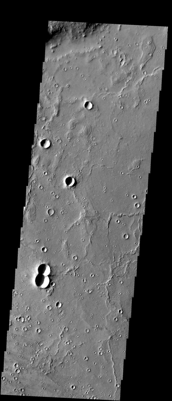
This image shows some of the far-western areas of Gusev Crater, and was captured on 27 June 2003, while Spirit was en-route to Mars.
Image information: VIS instrument. Latitude -14, Longitude 174.8 East (185.2 West). 19 meter/pixel resolution.
Note: this THEMIS visual image has not been radiometrically nor geometrically calibrated for this preliminary release. An empirical correction has been performed to remove instrumental effects. A linear shift has been applied in the cross-track and down-track direction to approximate spacecraft and planetary motion. Fully calibrated and geometrically projected images will be released through the Planetary Data System in accordance with Project policies at a later time.
NASA's Jet Propulsion Laboratory manages the 2001 Mars Odyssey mission for NASA's Office of Space Science, Washington, D.C. The Thermal Emission Imaging System (THEMIS) was developed by Arizona State University, Tempe, in collaboration with Raytheon Santa Barbara Remote Sensing. The THEMIS investigation is led by Dr. Philip Christensen at Arizona State University. Lockheed Martin Astronautics, Denver, is the prime contractor for the Odyssey project, and developed and built the orbiter. Mission operations are conducted jointly from Lockheed Martin and from JPL, a division of the California Institute of Technology in Pasadena.
 Planetary Data System


