A composite image reveals the local region surrounding the Challenger Memorial Station. The image is actually an amalgamation of a Mars Global Surveyor's Mars Orbiter Camera image and the third and final picture taken by Opportunity's DIMES camera ( Descent Image Motion Estimation System) during descent. The location of the site is a 20-meter (65.6 foot) wide, 2-meter (6.6 foot) deep crater somewhere in this composite image. The final crew of the space shuttle Challenger was lost when the shuttle suffered an in-flight breakup during launch on Jan. 28, 1986.
Figure 1
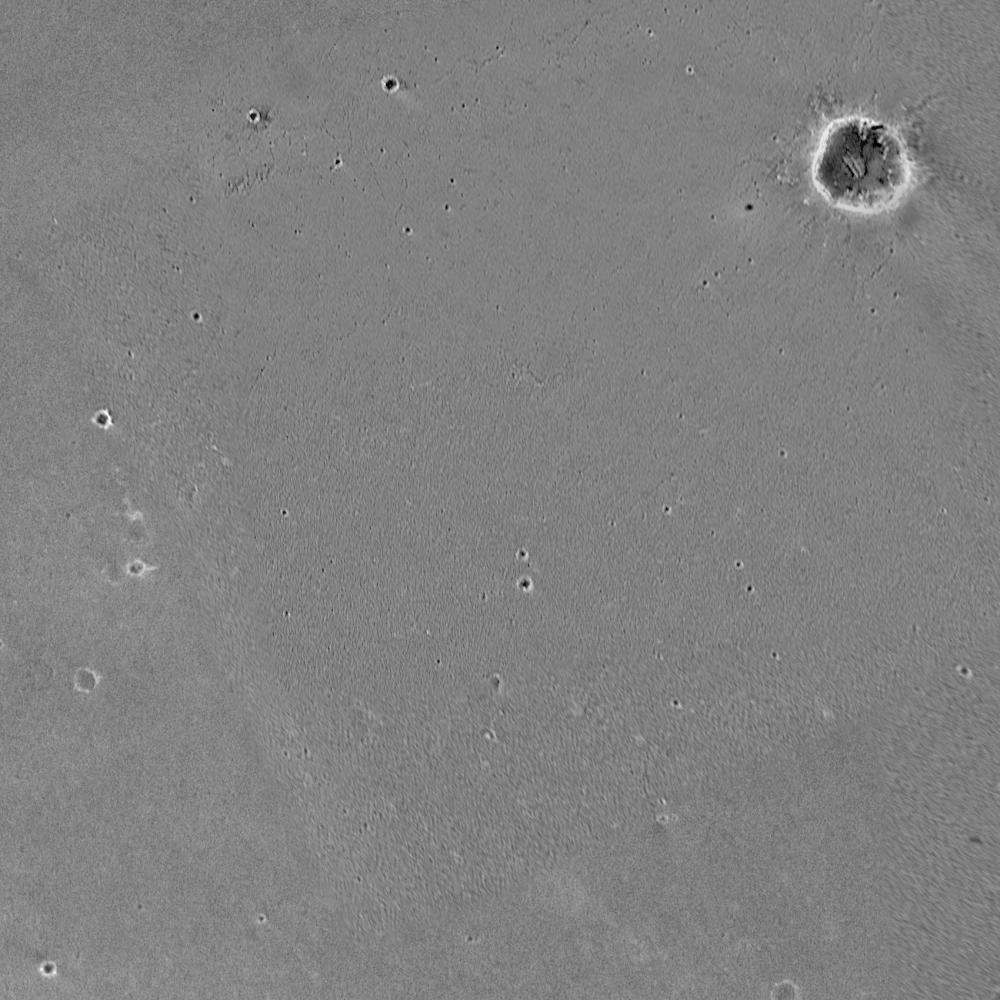
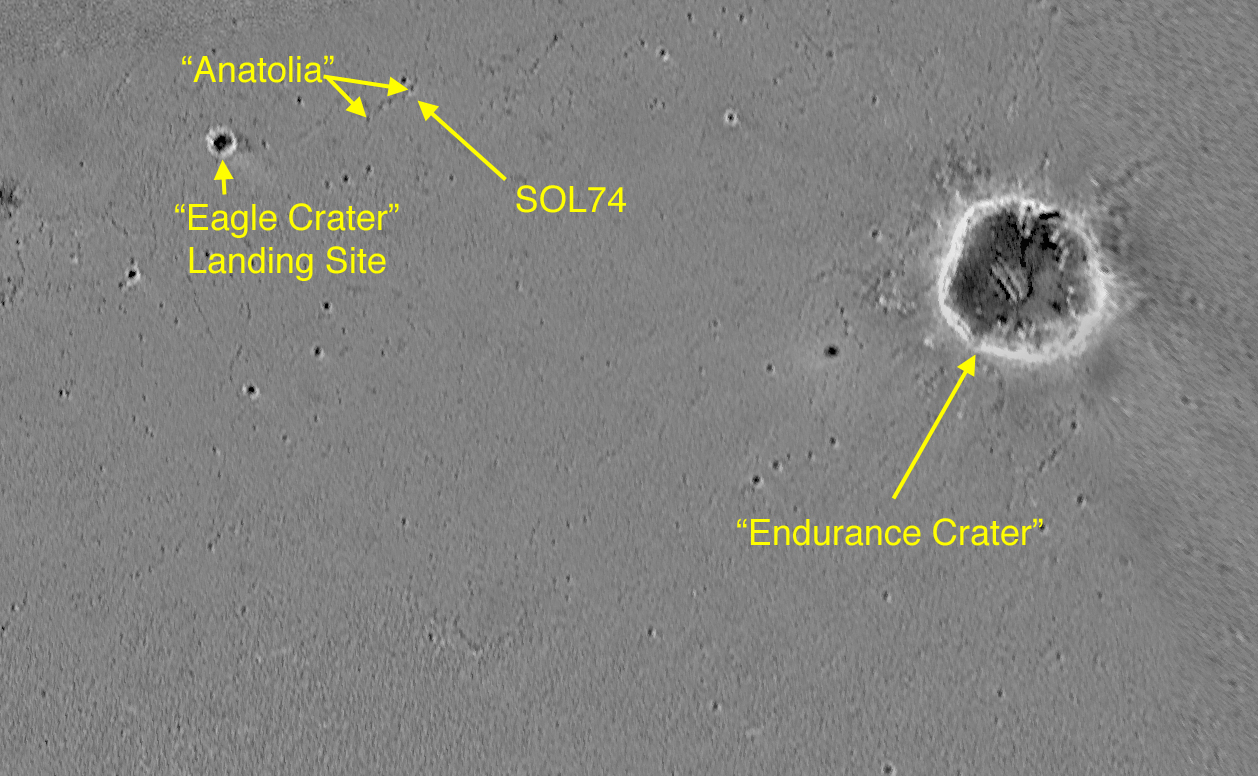
Opportunity's Turf
April 8, 2004
This map highlights the past and future stomping grounds of the Mars Exploration Rover Opportunity. "Eagle Crater" is the small crater where the rover landed over two months ago. "Anatolia," named after the Anatolian fault system in Turkey, is the trough the rover is currently investigating. "Endurance" is the large crater the rover will travel toward in coming sols. The underlying image was taken by the camera onboard the Mars Global Surveyor orbiter.