December 8, 2003
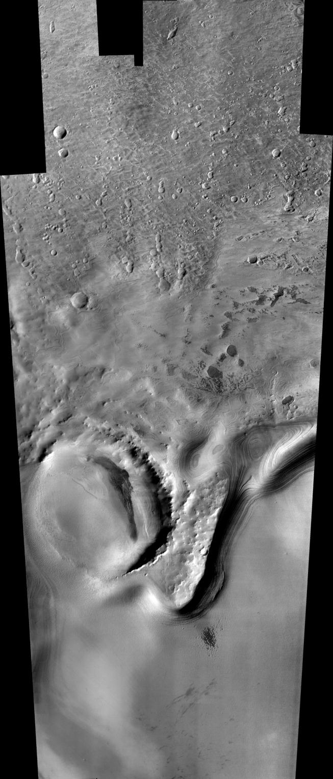
Remarkable layered deposits covering older, cratered surfaces near Mars' south pole dominate this mosaic of images taken by the camera on NASA's Mars Odyssey spacecraft between Nov. 8 and Nov. 26, 2003. The margin of these layered deposits appears to be eroding poleward, exposing a series of layers in the retreating cliff.
The mosaic, stitched from eight visible-wavelength images from Odyssey's thermal emission imaging system, covers an area more than 325 kilometers (200 miles) long and 100 kilometers (62 miles) wide. The pictured area lies between 78 degrees and 82 degrees south latitude and between 90 degrees and 104 degrees east longitude.
 Click on image for larger view
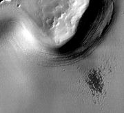
A zoom shows details in an area about 75 kilometers (47 miles) by 100 kilometers (62 miles), centered at about 80 degrees south latitude and 99 degrees east longitude. An older impact crater in the left part of the scene is filled with younger deposits from the layered terrain.
 Click on image for larger view
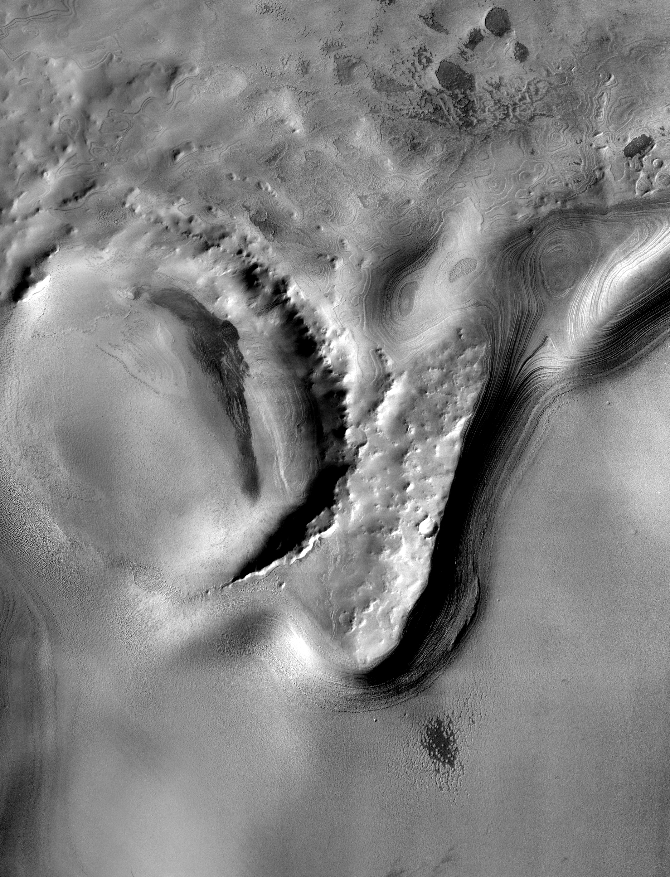
A further zoom emphasizes a small, fresh crater about 350 meters (1,150 feet) in diameter near the center of the scene. The adjacent cliff contains numerous individual layers. An unusual set of small mesas, seen in the lower right part of the image, is being eroded from the polar layered material. The images making up this mosaic have a spatial resolution of 36 meters (118 feet) per pixel, allowing detection of features as small as 75 to 100 meters (246 to 328 feet) across.
NASA's Jet Propulsion Laboratory manages the 2001 Mars Odyssey mission for the NASA Office of Space Science, Washington. The thermal emission imaging system on Odyssey was developed by Arizona State University, Tempe, in collaboration with Raytheon Santa Barbara Remote Sensing. Lockheed Martin Space Systems, Denver, is the prime contractor for the Odyssey project, and developed and built the orbiter. Mission operations are conducted jointly from Lockheed Martin and from JPL, a division of the California Institute of Technology in Pasadena.
 Planetary Data System


