- Original Caption Released with Image:
-
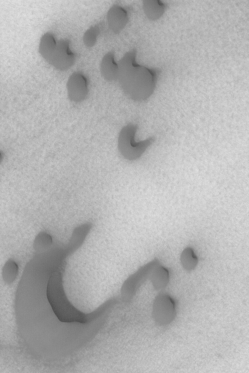
MGS MOC Release No. MOC2-499b, 30 September 2003 The steepest slope on a sand dune, the slipface, indicates the general direction that wind has been transporting sediment. This Mars Global Surveyor (MGS) Mars Orbiter Camera (MOC) image shows several dark sand dunes in the north polar region. Sand transport in this case is from the lower left (southwest) toward the upper right (northeast). The picture is located near 76.5°N, 257.4°W, and covers an area 3 km (1.9 mi) across. Sunlight illuminates the scene from the lower left.
- Image Credit:
-
NASA/JPL/Malin Space Science Systems
Image Addition Date: -
2003-09-30
|
