MGS MOC Release No. MOC2-484, 15 September 2003
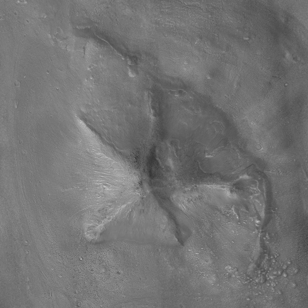
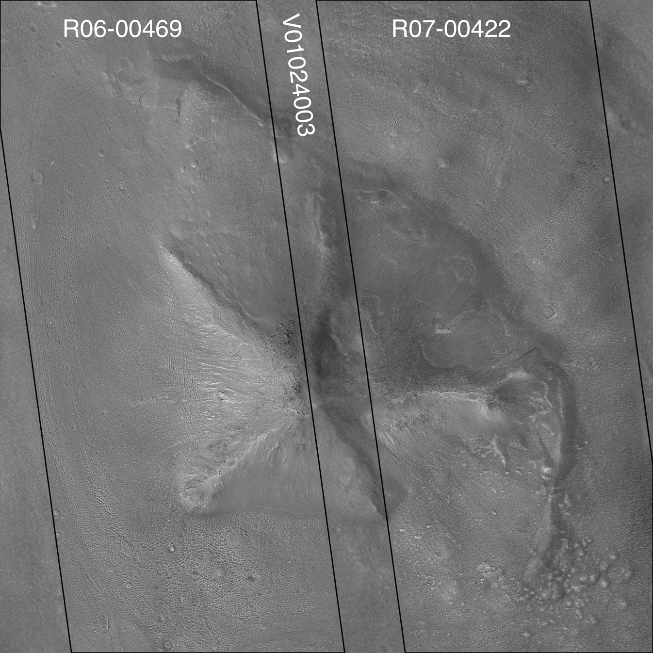
Images of the Cydonia region of Mars continue to be popular among visitors to the Mars Global Surveyor (MGS) Mars Orbiter Camera (MOC) web site. The two pictures (one annotated, the other not) are mosaics of two images from MGS MOC and one from the Mars Odyssey Thermal Emission Imaging System visible camera (THEMIS VIS). The mosaics highlight a Cydonia landform popularly known as the "D&M Pyramid." It is located near 40.7°N, 9.6°W.
Although it is not really shaped like a pyramid, the Cydonia landform is one of thousands of massifs, buttes, mesas, knobs, and blocks that mark the transition from the far northwestern Arabia Terra cratered highlands down to the northeastern Acidalia Planitia lowlands. Each block, whether shaped like a face, a pyramid, or simply a mesa, massif, or knob, is a remnant of the bedrock of northeastern Arabia that was left behind as erosion slowly degraded the terrain along this zone between the highlands and the lowlands. A few outcroppings of layers in this ancient bedrock can be seen in the mosaic of the pyramid-like landform shown here; much of the landform is covered with eroded mantling material that was deposited long after this highlands remnant became an isolated feature in Cydonia.
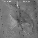
The mosaic was created from two MOC images obtained in June (R06-00469) and July (R07-00422) of 2003 and one THEMIS VIS image acquired in 2002 (V01024003). The mosaic is 8 km by 8 km (5 mi by 5 mi) across and each of the three images is illuminated from the lower left. North is up. The picture on the right shows the location of the two MOC images as black outlines; the THEMIS image not only covers the gap between the two MOC images, it also fills out the lower left and upper right corners.
In recent weeks, the MOC team has received numerous requests through the Mars Orbiter Camera Target Request Site to obtain pictures of the "D&M Pyramid." The images shown here were acquired before the public target suggestion effort began in August 2003, but they have not yet been archived with the NASA Planetary Data System. In the future, the MOC team hopes--depending upon whether the spacecraft flies over this area again before the end of the mission--to fill the remaining gap and obtain some 1.5 m/pixel images of the landform, based on the many public suggestions that have been received.
Other, previous MOC data and captioned releases regarding Cydonia landforms can be seen by visiting http://www.msss.com/mars_images/moc/themes/CYDONIA.html and the MOC Gallery.
 Planetary Data System


