Released 9 April 2003
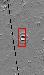
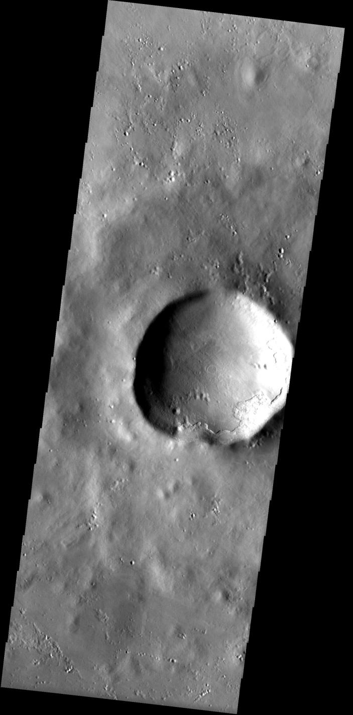
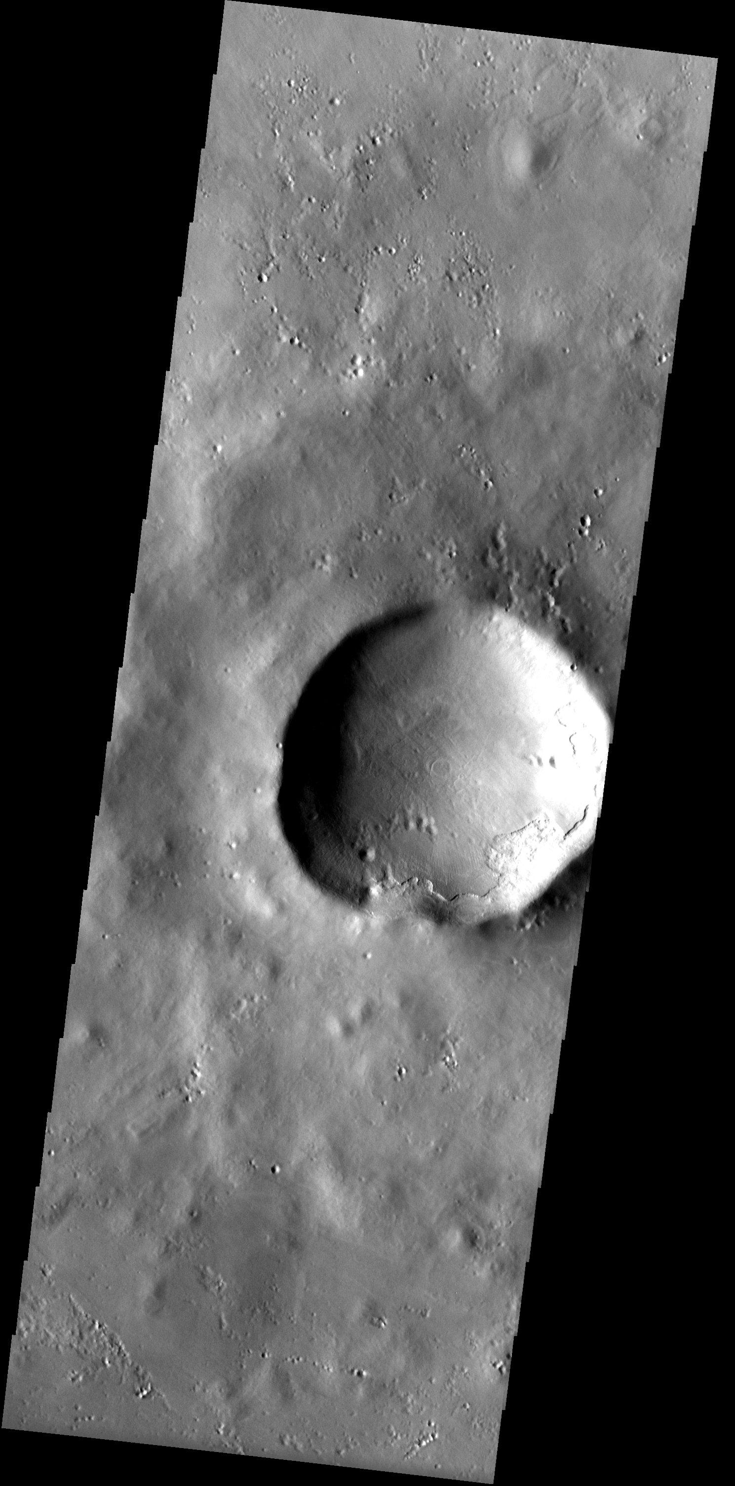
In the high northern latitudes NW of Alba Patera, a smooth mantle of material that covers the landscape appears chipped away from the rim of a large crater. The prominent scarp that has formed from the retreat of the mantle lacks the rounded appearance of other ice-rich mantles found in the mid-latitudes. The nature of this mantling layer therefore is more enigmatic.
Note: this THEMIS visual image has not been radiometrically nor geometrically calibrated for this preliminary release. An empirical correction has been performed to remove instrumental effects. A linear shift has been applied in the cross-track and down-track direction to approximate spacecraft and planetary motion. Fully calibrated and geometrically projected images will be released through the Planetary Data System in accordance with Project policies at a later time.
NASA's Jet Propulsion Laboratory manages the 2001 Mars Odyssey mission for NASA's Office of Space Science, Washington, D.C. The Thermal Emission Imaging System (THEMIS) was developed by Arizona State University, Tempe, in collaboration with Raytheon Santa Barbara Remote Sensing. The THEMIS investigation is led by Dr. Philip Christensen at Arizona State University. Lockheed Martin Astronautics, Denver, is the prime contractor for the Odyssey project, and developed and built the orbiter. Mission operations are conducted jointly from Lockheed Martin and from JPL, a division of the California Institute of Technology in Pasadena.
Image information: VIS instrument. Latitude 62.9, Longitude 226.2 East (133.8 West). 19 meter/pixel resolution.