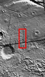
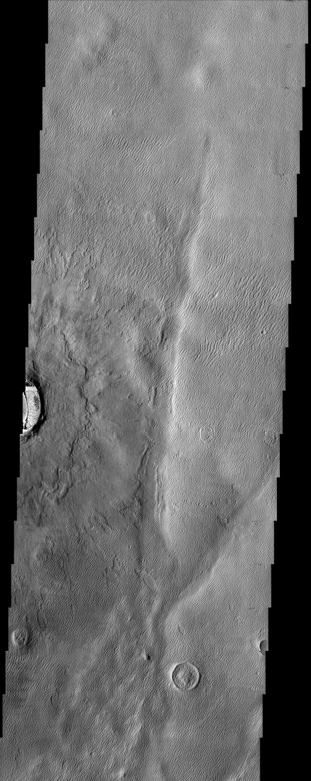
The long sharp-crested features observed in this THEMIS image are named yardangs. Yardangs form by wind erosion and typically lie in the direction of the dominant wind. The impact crater and ejecta blanket appear to be overlying the yardangs and provide an interesting cross-cutting relationship. However, some yardangs appear to be actively forming on the ejecta material which indicates their formation as an ongoing process.
Note: this THEMIS visual image has not been radiometrically nor geometrically calibrated for this preliminary release. An empirical correction has been performed to remove instrumental effects. A linear shift has been applied in the cross-track and down-track direction to approximate spacecraft and planetary motion. Fully calibrated and geometrically projected images will be released through the Planetary Data System in accordance with Project policies at a later time.
NASA's Jet Propulsion Laboratory manages the 2001 Mars Odyssey mission for NASA's Office of Space Science, Washington, D.C. The Thermal Emission Imaging System (THEMIS) was developed by Arizona State University, Tempe, in collaboration with Raytheon Santa Barbara Remote Sensing. The THEMIS investigation is led by Dr. Philip Christensen at Arizona State University. Lockheed Martin Astronautics, Denver, is the prime contractor for the Odyssey project, and developed and built the orbiter. Mission operations are conducted jointly from Lockheed Martin and from JPL, a division of the California Institute of Technology in Pasadena.
Image information: VIS instrument. Latitude 35.2, Longitude 223.6 East (136.4 West). 19 meter/pixel resolution.


