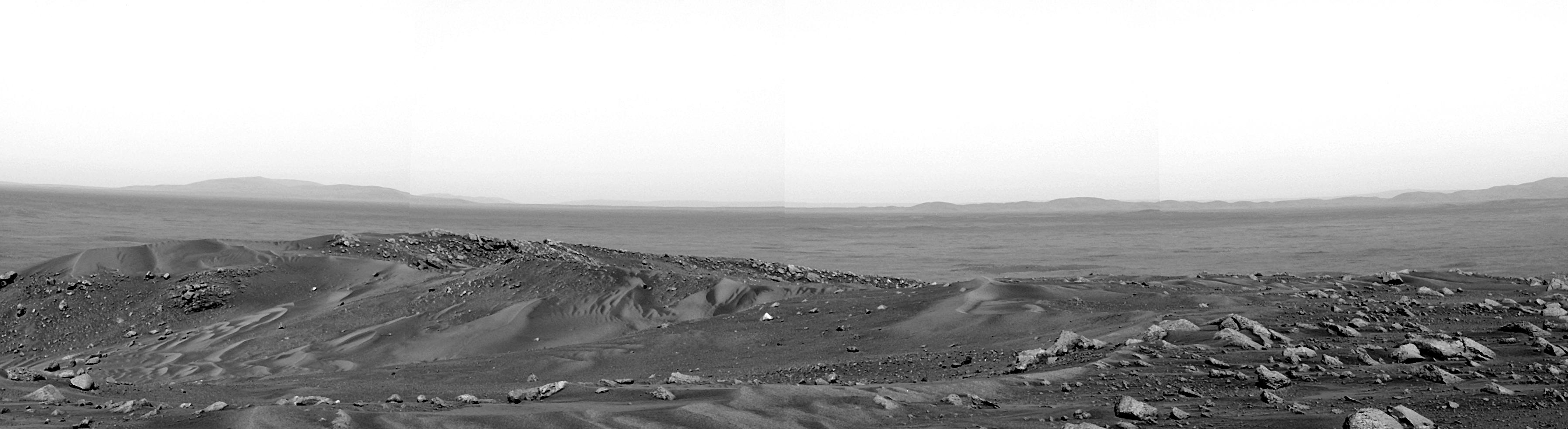
This panorama is one of the first that NASA's Spirit rover snapped upon reaching the summit of "Husband Hill," located in "Columbia Hills" in Gusev Crater, Mars. It reveals the vast landscape to the east previously hidden behind the Columbia Hills. The rim of "Thira Crater" frames the distant horizon some 15 kilometers (9.3 miles) away. The summit area is divided by a shallow saddle that slopes north (left) into an area called "Tennessee Valley." Large amounts of sandy material have been blown up the valley and across the saddle in the left-to-right direction, creating the rippled piles of sand seen in this image.
The science team will examine bedrock and other materials in the summit area to determine their composition and the orientation of the rock layers. These and other observations will provide clues to how the rocks formed and how the hills were sculpted in the geologic past.
This mosaic was taken by Spirit's panoramic camera, using the blue filter of its right eye.
