- Original Caption Released with Image:
-
(Released 19 June 2002)
The Science
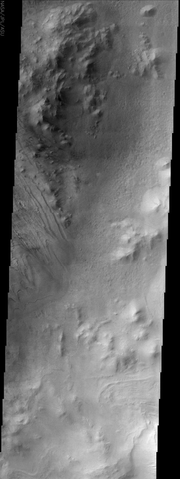
This image is of part of Galle Crater, located at 51.9S, 29.5W. This image was taken far enough south and late enough into the southern hemisphere fall to catch observe water ice clouds partially obscuring the surface. The most striking aspect of the surface is the dissected layered unit to the left in the image. Other areas also appear to have layering, but they are either more obscured by clouds or are less well defined on the surface. The layers appear to be mostly flat lying and layer boundaries appear as topographic lines would on a map, but there are a few areas where it appears that these layers have been deformed to some level. Other areas of the image contain rugged, mountainous terrain as well as a separate pitted terrain where the surface appears to be a separate unit from the mountains and the layered terrain.
The Story
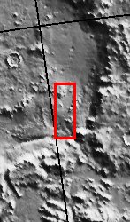
Galle Crater is officially named after a German astronomer who, in 1846, was the first to observe the planet Neptune. It is better known, however, as the "Happy Face Crater." The image above focuses on too small an area of the crater to see its beguiling grin, but you can catch the rocky line of a "half-smile" in the context image to the right (to the left of the red box).
While water ice clouds make some of the surface harder to see, nothing detracts from the fabulous layering at the center left-hand edge of the image. If you click on the above image, the scalloped layers almost look as if a giant knife has swirled through a landscape of cake frosting.
These layers, the rugged, mountains near them, and pits on the surface (upper to middle section of the image on the right-hand side) all create varying textures on the crater floor. With such different features in the same place, geologists have a lot to study to figure out what has happened in the crater since it formed.
- Image Credit:
-
NASA/JPL/Arizona State University
Image Addition Date: -
2002-06-26
|
 Planetary Data System


