- Original Caption Released with Image:
-
(Released 29 May 2002)
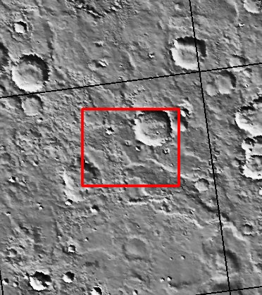
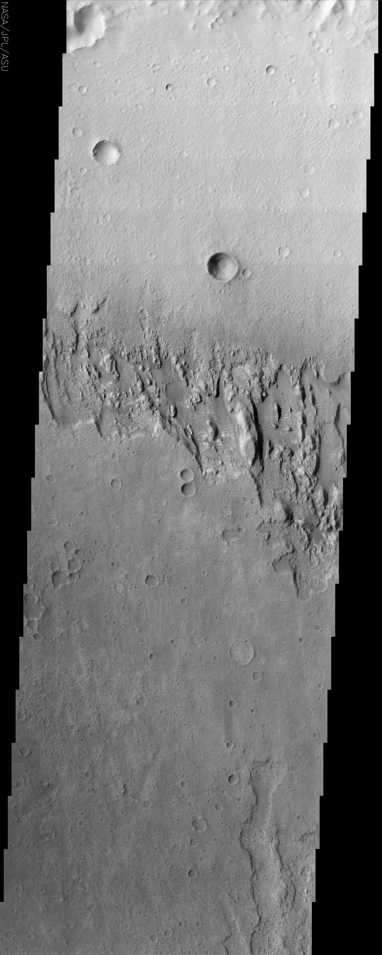
Infrared imaging from NASA's Mars Odyssey spacecraft shows signs of layering exposed at the surface in a region of Mars called Terra Meridiani. The brightness levels show daytime surface temperatures, which range from about minus 20 degrees to zero degrees Celsius (minus 4 degrees to 32 degrees Fahrenheit). Many of the temperature variations are due to slope effects, with sun-facing slopes warmer than shaded slopes. However, several rock layers can be seen to have distinctly different temperatures, indicating that physical properties vary from layer to layer. These differences suggest that the environment on this part of Mars varied through time as these layers were formed. The image is a mosaic combining four exposures taken by the thermal emission imaging system aboard Odyssey during the first two months of the Odyssey mapping mission, which began in February 2002. The area shown is about 120 kilometers (75 miles) across, at approximately 358 degrees east (2 degrees west) longitude and 3 degrees north latitude.
- Image Credit:
-
NASA/JPL/Arizona State University
Image Addition Date: -
2002-06-17
|
