- Original Caption Released with Image:
-
(Released 17 April 2002)
The Science
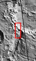
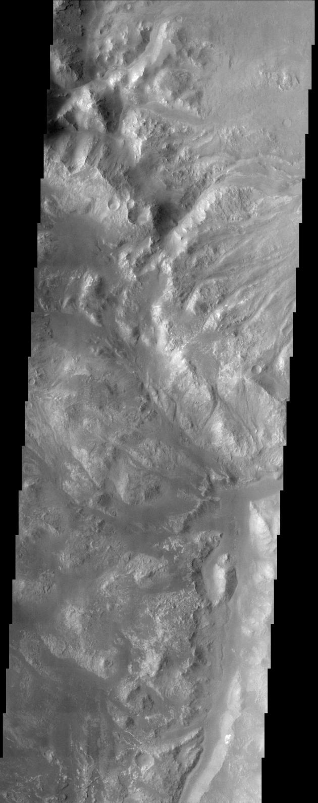
This image, located near 27.0S and 35.5W (324.5E), displays the intersection of Holden Crater with Uzboi Valles. This region of Mars contains a number of features that could be related to liquid water on the surface in the Martian past. Holden Crater contains finely layered sedimentary units that have been subsequently dissected. The hummucky terrain in the bottom half of the image is the remnants of this terrain, though the fine layers are not visible in this image at this resolution. The sedimentary units could have formed through deposition of material in a lacustrine type environment. Alternately, these layers could also be volcanic ash deposits. Uzboi Valles, which enters the crater from the southwest, is a catastrophic outflow channel that formed in the Martian past. The streamlined nature of the topographic features at the intersection of the crater with Uzboi Valles record the erosional pattern of flowing liquid water on the surface of Mars during the episodic outflow event.
The Story
Mars doesn't have a shortage of rugged terrain, and this area is no exception. While things look pretty quiet now, this cratered region was once the scene of some tremendous action. Long ago in Martian history, an incoming meteoroid probably smashed into the planet and produced a giant impact crater named Holden Crater, which stretches 88 miles across the Martian surface. The history of the area around Holden Crater doesn?t stop there. At some point, a catastrophic flood burst forth on the surface, forming an impressive outflow channel called Uzboi Valles. No one knows exactly how that happened, or whether the water might even have rushed into Holden Crater at some point, forming a long-ago lake. What we do know is that there is a lot of sedimentary material that could have formed in two hypothesized ways: in an ancient lake environment or as volcanic-ash deposits.
Scientists are searching for the answers by studying the region where Uzboi Valles meets the crater. You can see the rough edge of Holden Crater running diagonally down in a sharply edged swath (from the top left-hand corner of this image to the center right-hand side). Just below it, running almost smoothly down the right-hand side of the image is an intriguing channel where water may once have flowed. Much of the terrain in the bottom half of the image, in fact, seems to be cut into a swish-swash of dissected sedimentary terrain. Sliced through in such a way, the terrain ends up carrying bunches of small, rounded hills called "hummocks." Earth can boast of its own rolling, hummocky terrain too, such as that found in the ravine-cut Missouri Hills and High Plains areas of South Dakota.
- Image Credit:
-
NASA/JPL/Arizona State University
Image Addition Date: -
2002-05-21
|