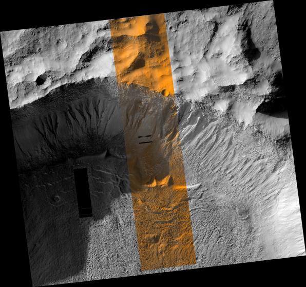
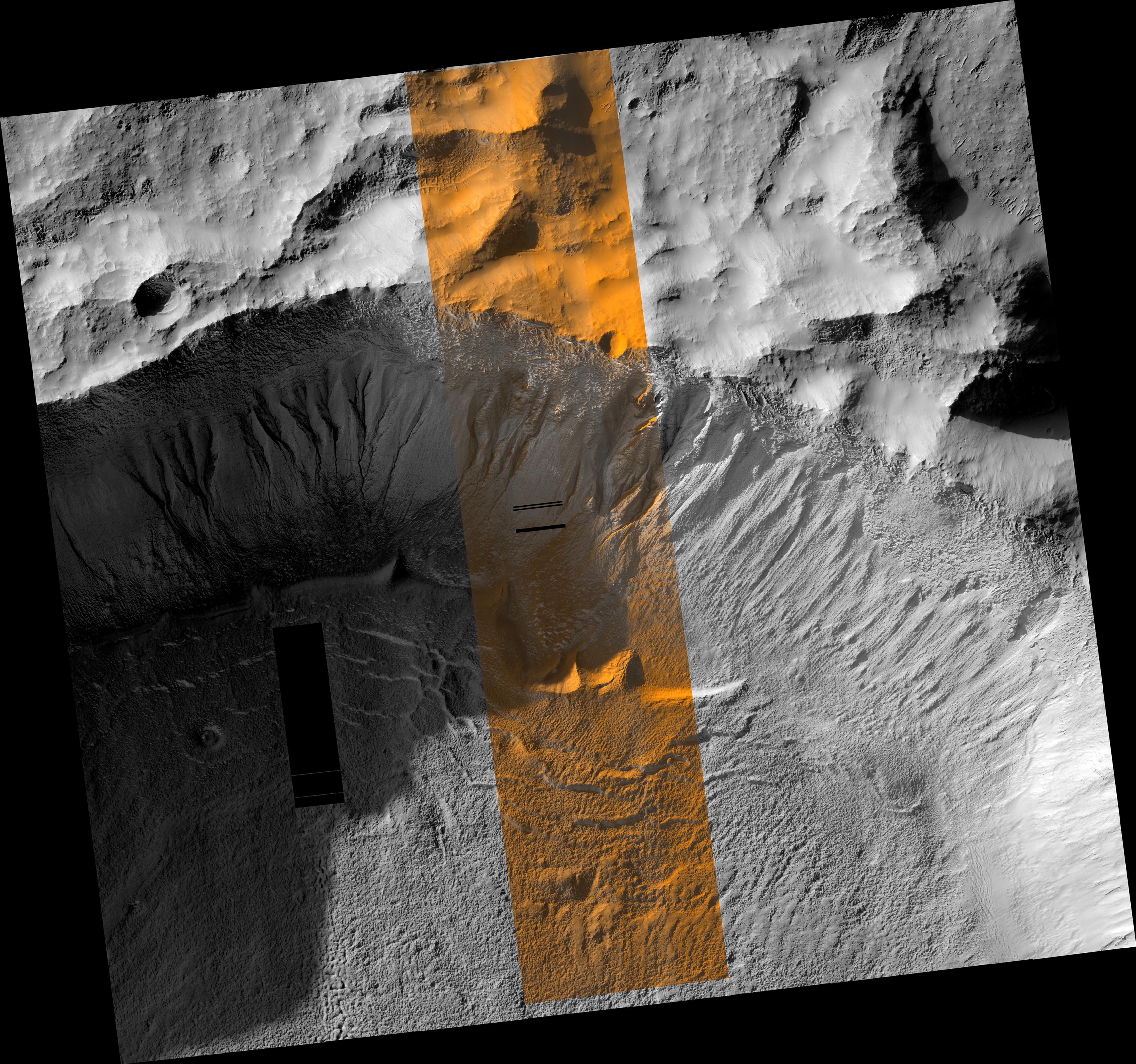
This region of Mars in this image from the High Resolution Imaging Science Experiment (HiRISE) camera on NASA's Mars Reconnaissance Orbiter receives very little sunlight in the southern Mars winter, when this was taken. The bluish areas consist of frost. At the latitude of this image, frost is most likely composed of water because the temperature is not low enough for carbon dioxide condensation. The reddish regions are locations where frost has been removed, most likely by sublimation. The dark, unfrosted regions (for example, in the channel of the gully on the far right) represent the most recent activity in the gullies and are possibly a result of seasonal melting.
Besides acquiring monochromatic images of 6-kilometer (3.7-mile) swath width and variable length, HiRISE can also image the central 20 percent of the swath width in color. Color images can help resolve ambiguities in image interpretation and will enable researchers to place compositional data from other experiments into more specific geologic context. HiRISE can "see" color in the visible range (the red, green, and blue portions of the spectrum) and beyond (in the near infrared), thus allowing for the detection of -- among other features -- characteristic alteration minerals that require water to form.
Image TRA_000878_1410 was taken by the HiRISE camera on the Mars Reconnaissance Orbiter spacecraft on Oct. 3, 2006. The complete image is centered at minus 38.9 degrees latitude, 223.7 degrees east longitude. The range to the target site was 254 kilometers (159 miles). At this distance the image scale is 51 centimeters (20 inches) per pixel (with 2 x 2 binning) so objects about 153 centimeters (60 inches) across are resolved. The image shown here has been map-projected to 50 centimeters (19.7 inches) per pixel and north is up. The image was taken at a local Mars time of 3:38 p.m. and the scene is illuminated from the west with a solar incidence angle of 79.9 degrees, thus the sun was about 10.1 degrees above the horizon. At a solar longitude of 115.5 degrees, the season on Mars is northern summer.
The full-resolution TIFF file (HiRISE number TRA_000878_1410) can be viewed or downloaded here PIA01920-hi-res.tif; the full-resolution JPEG can be viewed or downloaded here PIA01920-hi-res.jpg. [Photojournal note: due to the large sizes of the high-resolution TIFF and JPEG files, some systems may experience extremely slow downlink time while viewing or downloading these images; some systems may be incapable of handling the download entirely.]
 Planetary Data System


