- Original Caption Released with Image:
-
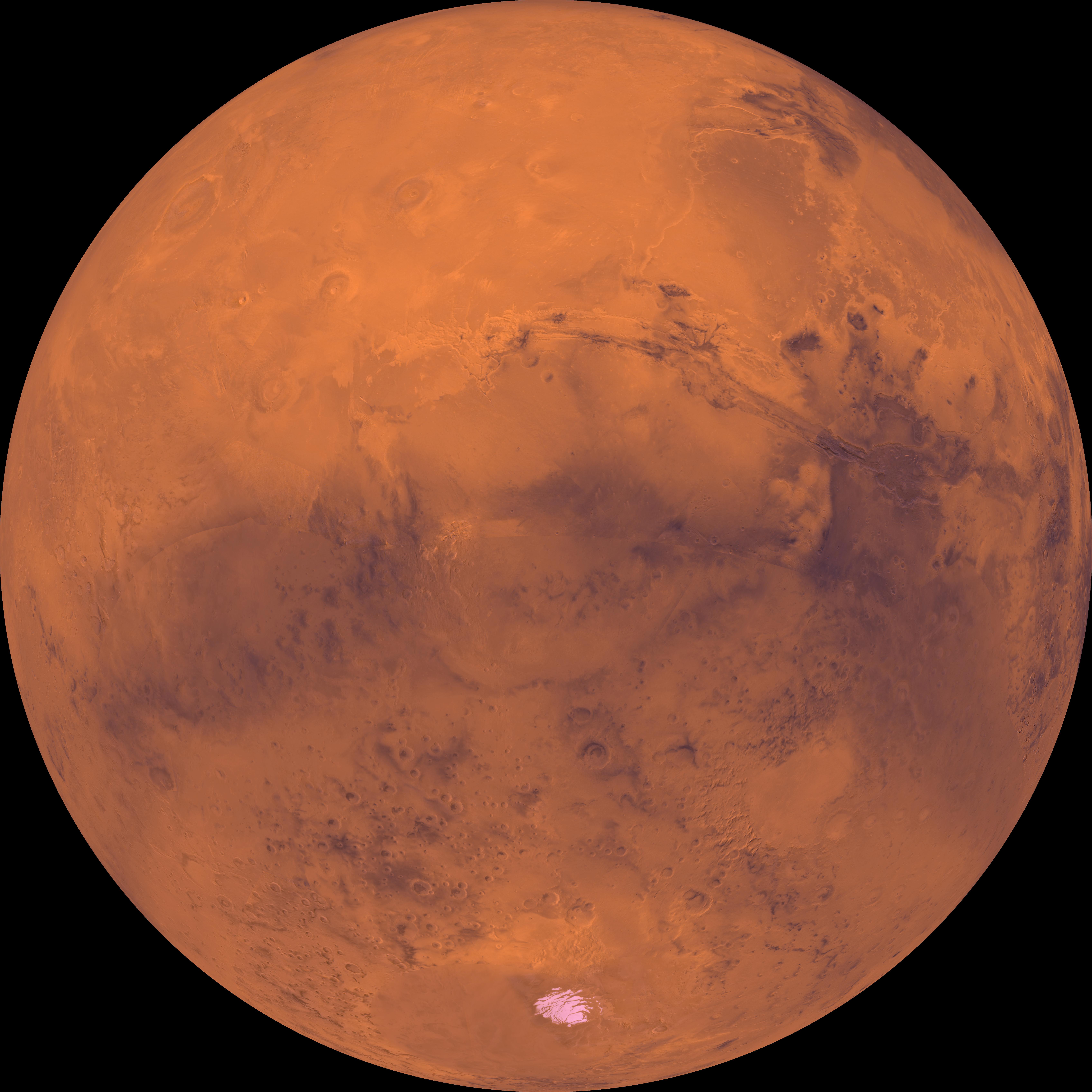
Center of the orthographic projection is at latitude 30 degrees S., longitude 90 degrees. The top half is dominated by the Tharsis Montes volcanoes, the large Alba Patera shield volcano, the dark Chryse basin, and a vast canyon system, Valles Marineris. In the central part, a prominent physiographic feature, Thaumasia plateau, includes a complex array of small- and large-scale faults and ridges and ancient volcanoes. The large conspicuous Argyre basin, southeast of the Thaumasia plateau, contains a broad expanse of light-colored plains 800 km across. The permanent south polar ice cap is located near the bottom.
- Image Credit:
-
NASA/JPL/USGS
Image Addition Date: -
1998-06-08
|
