- Original Caption Released with Image:
-
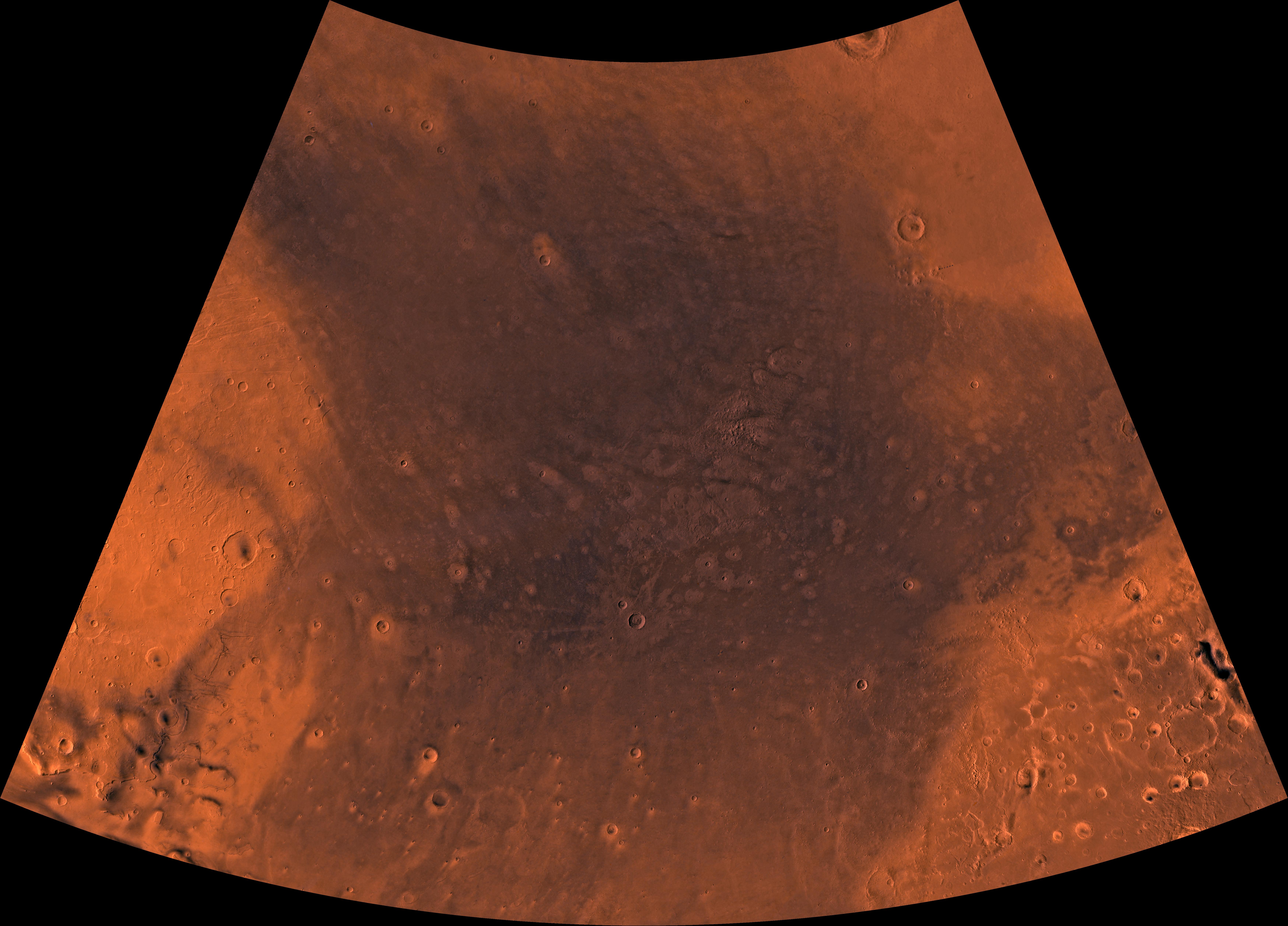
Mars digital-image mosaic merged with color of the MC-4 quadrangle, Mare Acidalium region of Mars. The central part is characterized by dark depression--the northern Chryse basin, which contains relatively smooth plains where several large outflow channels terminate. The depression is partly bounded to the southwest by the highly faulted and heavily cratered Tempe Terra province, to the southeast by the heavily cratered Arabia Terra province, and to the north by relatively smooth plains of Vastitas Borealis. Latitude range 30 to 65 degrees, longitude range 0 to 60 degrees.
- Image Credit:
-
NASA/JPL/USGS
Image Addition Date: -
1998-06-04
|
