|
Your search criteria found 12731 images Target is mars (and available satellites) |
| My List |
Addition Date |
Target
|
Mission | Instrument | Size |

|
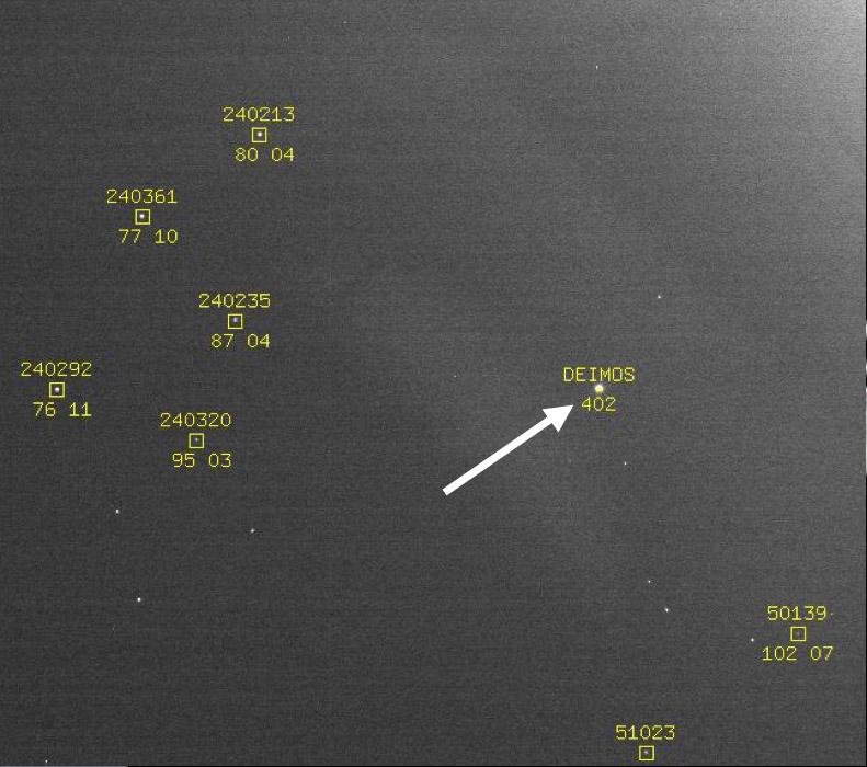
1997-11-04 | Deimos |
Mars Pathfinder (MPF) |
Imager for Mars Pathfinder |
384x384x1 |

|
|||||
|
|
2006-03-10 | Deimos |
Mars Reconnaissance Orbiter (MRO) |
Optical Navigation Camera |
791x700x3 |
|
|||||
|
|
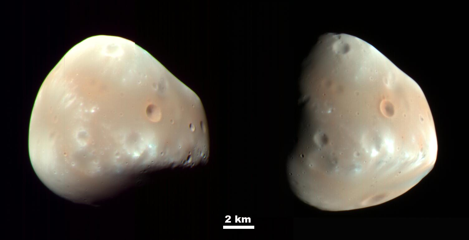
2009-03-09 | Deimos |
Mars Reconnaissance Orbiter (MRO) |
HiRISE |
1505x772x3 |
|
|||||
|
|
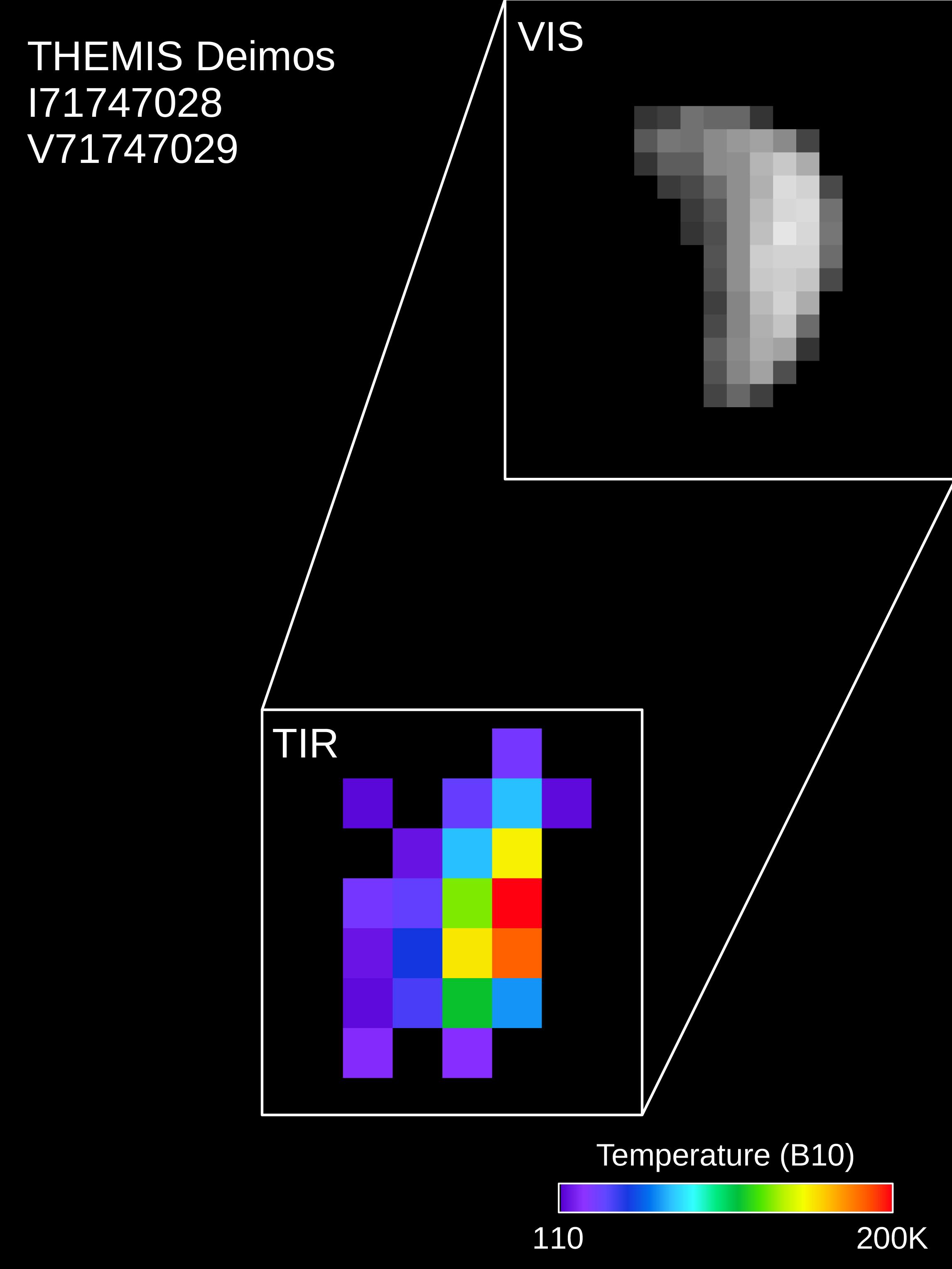
2018-02-22 | Deimos |
2001 Mars Odyssey |
THEMIS |
2292x3054x3 |
|
|||||
|
|
2019-04-04 | Deimos |
Mars Science Laboratory (MSL) |
Mastcam |
256x256x1 |
|
|||||
|
|
2024-03-05 | Deimos |
Mars 2020 Rover |
Mastcam-Z |
1535x917x3 |
|
|||||
|
|
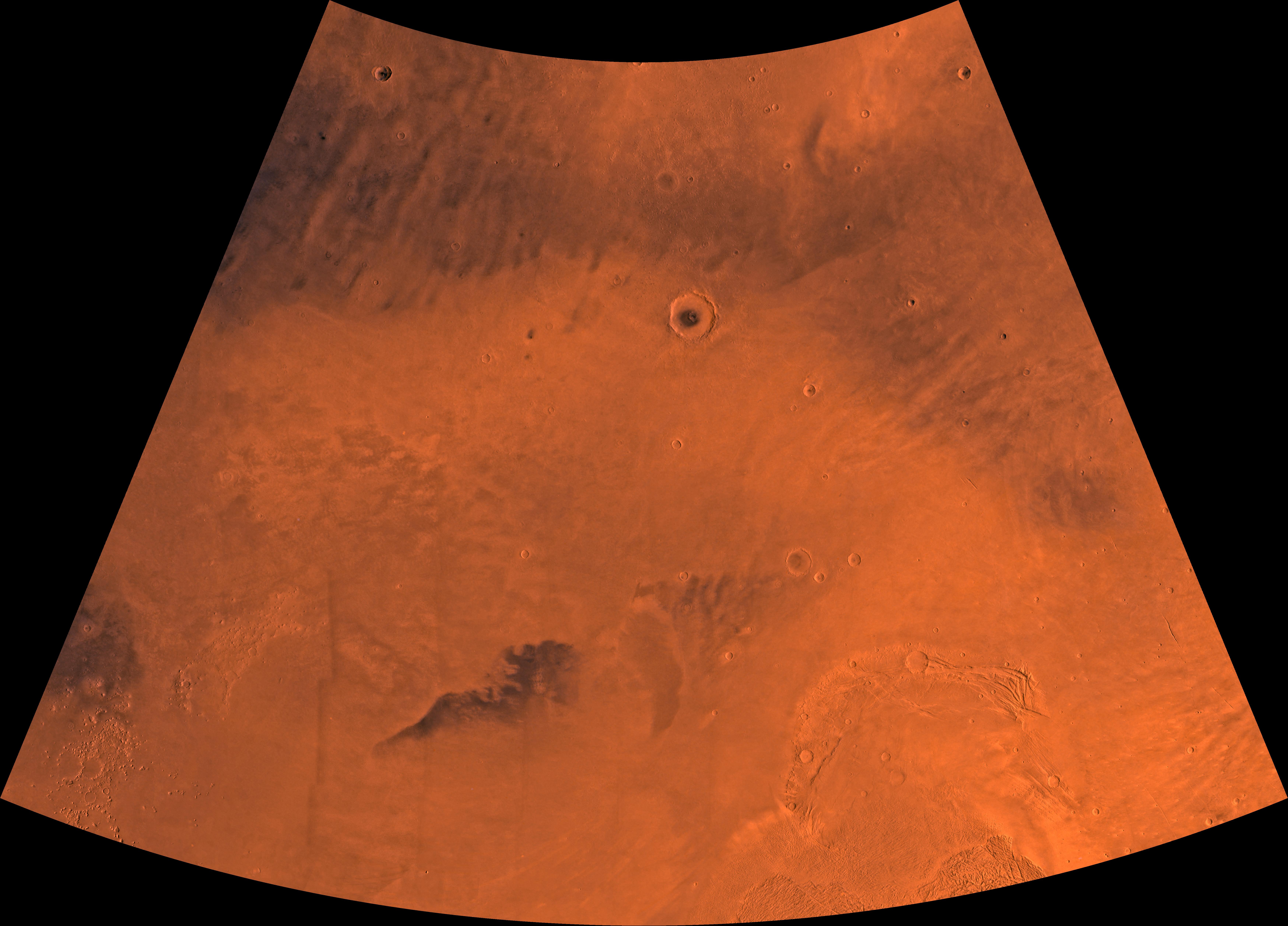
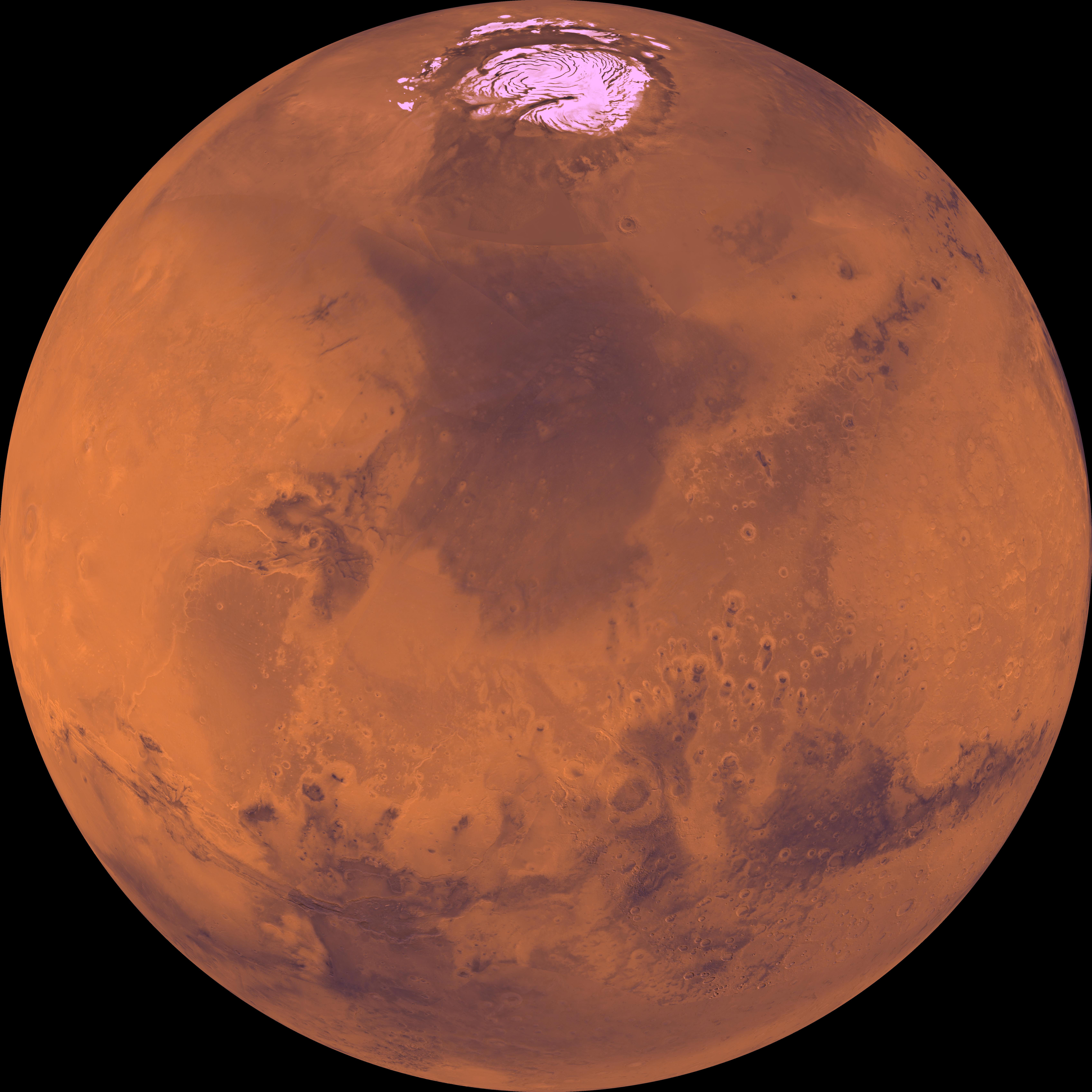
1996-06-03 | Mars |
Viking |
Visual Imaging Subsystem - Camera A |
6736x6359x3 |
|
|||||
|
|
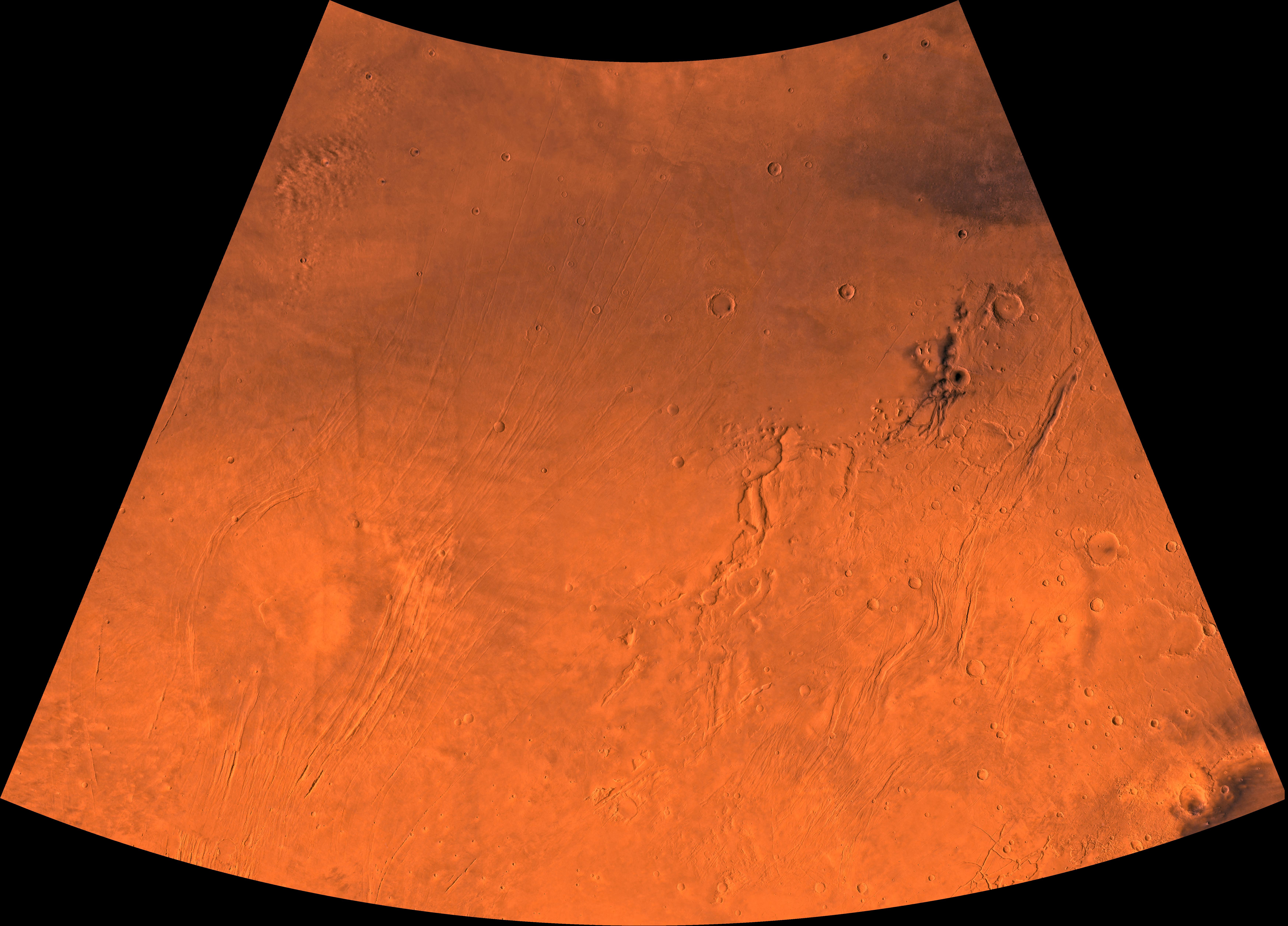
1996-06-03 | Mars |
Viking |
Visual Imaging Subsystem - Camera A |
6496x6618x3 |
|
|||||
|
|
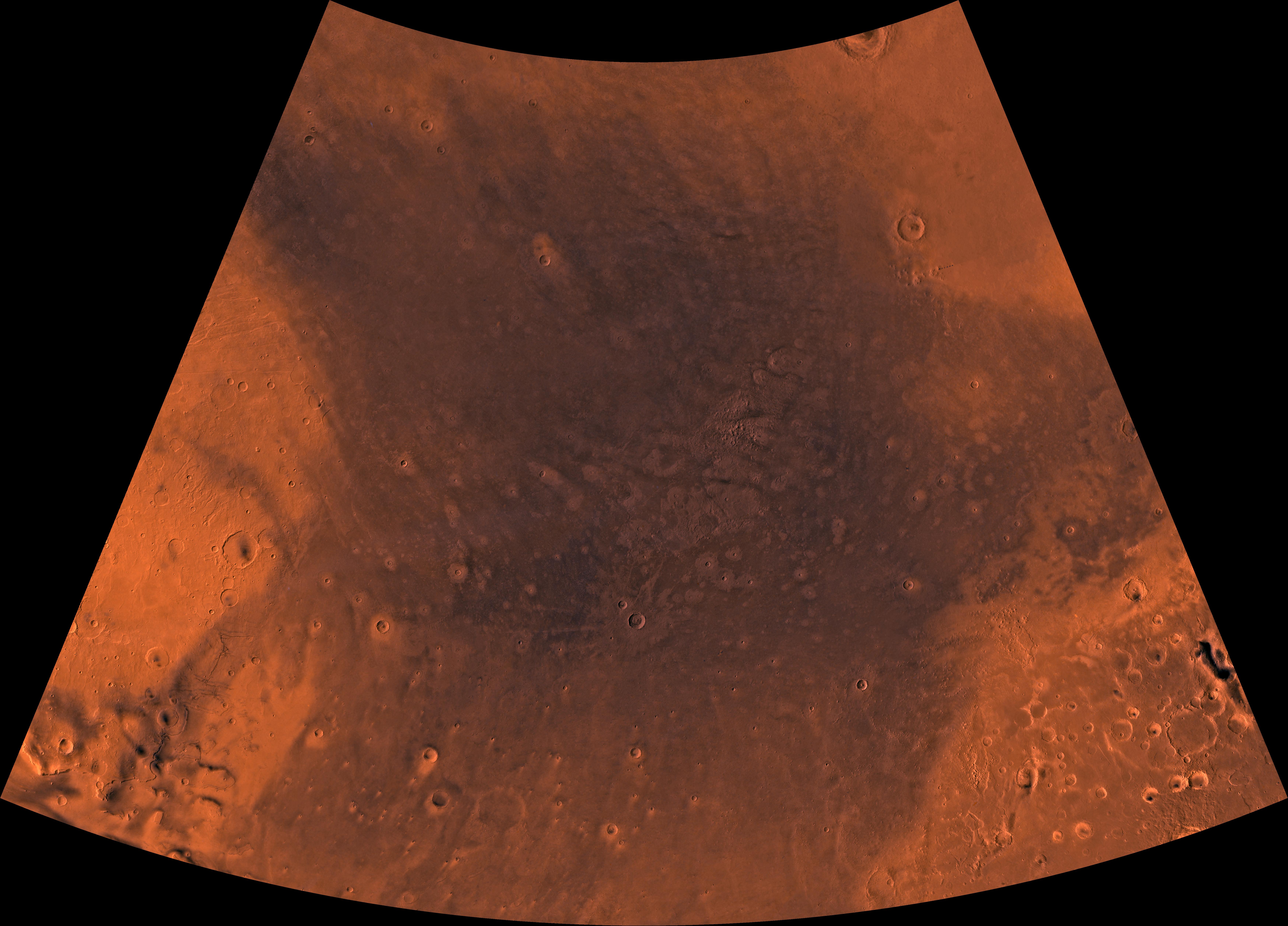
1996-06-03 | Mars |
Viking |
5114x2713x3 | |
|
|||||
|
|
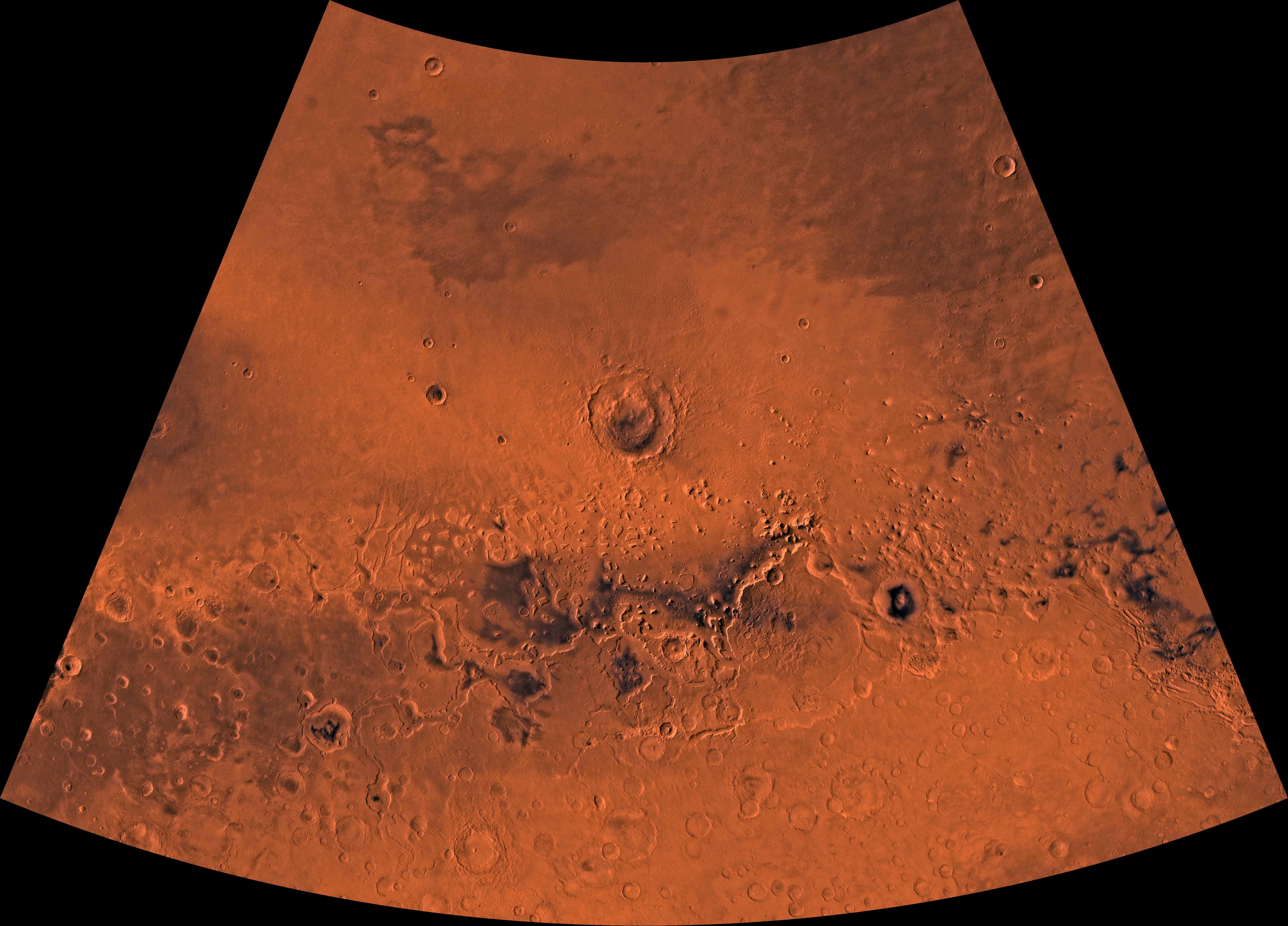
1996-06-03 | Mars |
Viking |
4710x2915x3 | |
|
|||||
|
|
1996-06-03 | Mars |
Viking |
Visual Imaging Subsystem - Camera A |
3302x2781x3 |
|
|||||
|
|
2018-04-02 | Mars |
Mars Reconnaissance Orbiter (MRO) |
HiRISE |
2880x1800x3 |
|
|||||
|
|
1998-06-03 | Mars |
Viking |
Visual Imaging Subsystem - Camera B |
6218x6653x3 |
|
|||||
|
|
1998-06-03 | Mars |
Viking |
Visual Imaging Subsystem - Camera B |
6738x6502x3 |
|
|||||
|
|
1996-12-15 | Mars |
Viking |
Camera 2 |
1089x512x1 |
|
|||||
|
|
1998-06-04 | Mars |
Viking |
Visual Imaging Subsystem - Camera B |
1040x934x3 |
|
|||||
|
|
1998-06-04 | Mars |
Viking |
Visual Imaging Subsystem - Camera A |
2048x1700x3 |

|
|||||
|
|
1998-06-04 | Mars |
Viking |
Visual Imaging Subsystem - Camera B |
1024x880x3 |
|
|||||
|
|
1998-06-04 | Mars |
Viking |
Visual Imaging Subsystem - Camera B |
1100x820x3 |
|
|||||
|
|
1998-06-04 | Mars |
Viking |
Visual Imaging Subsystem - Camera B |
964x832x3 |
|
|||||
|
|
1998-06-04 | Mars |
Viking |
Visual Imaging Subsystem - Camera A |
1015x840x3 |
|
|||||
|
|
1998-06-04 | Mars |
Viking |
Visual Imaging Subsystem - Camera A |
6744x6744x3 |
|
|||||
|
|
1998-06-04 | Mars |
Viking |
Visual Imaging Subsystem - Camera A |
6994x5029x3 |
|
|||||
|
|
1998-06-04 | Mars |
Viking |
Visual Imaging Subsystem - Camera A |
6994x5029x3 |
|
|||||
|
|
1998-06-04 | Mars |
Viking |
Visual Imaging Subsystem - Camera A |
6994x5029x3 |
|
|||||
|
|
1998-06-04 | Mars |
Viking |
Visual Imaging Subsystem - Camera A |
6994x5029x3 |
|
|||||
|
|
1998-06-04 | Mars |
Viking |
Visual Imaging Subsystem - Camera A |
6994x5029x3 |
|
|||||
|
|
1998-06-05 | Mars |
Viking |
Visual Imaging Subsystem - Camera A |
6994x5029x3 |
|
|||||
|
|
1998-06-05 | Mars |
Viking |
Visual Imaging Subsystem - Camera A |
7170x4991x3 |

|
|||||
|
|
1998-06-05 | Mars |
Viking |
Visual Imaging Subsystem - Camera A |
7170x4991x3 |

|
|||||
|
|
1998-06-05 | Mars |
Viking |
Visual Imaging Subsystem - Camera A |
7170x4991x3 |
|
|||||
|
|
1998-06-05 | Mars |
Viking |
Visual Imaging Subsystem - Camera A |
7170x4991x3 |
|
|||||
|
|
1998-06-05 | Mars |
Viking |
Visual Imaging Subsystem - Camera A |
7170x4991x3 |
|
|||||
|
|
1998-06-05 | Mars |
Viking |
Visual Imaging Subsystem - Camera A |
7170x4991x3 |
|
|||||
|
|
1998-06-05 | Mars |
Viking |
Visual Imaging Subsystem - Camera A |
7170x4991x3 |
|
|||||
|
|
1998-06-05 | Mars |
Viking |
Visual Imaging Subsystem - Camera A |
7170x4991x3 |

|
|||||
|
|
1998-06-05 | Mars |
Viking |
Visual Imaging Subsystem - Camera A |
7170x4991x3 |
|
|||||
|
|
1998-06-05 | Mars |
Viking |
Visual Imaging Subsystem - Camera A |
7170x4991x3 |
|
|||||
|
|
1998-06-05 | Mars |
Viking |
Visual Imaging Subsystem - Camera A |
7170x4991x3 |

|
|||||
|
|
1998-06-05 | Mars |
Viking |
Visual Imaging Subsystem - Camera A |
7170x4991x3 |
|
|||||
|
|
1998-06-05 | Mars |
Viking |
Visual Imaging Subsystem - Camera A |
7170x4991x3 |

|
|||||
|
|
1998-06-05 | Mars |
Viking |
Visual Imaging Subsystem - Camera A |
7170x4991x3 |
|
|||||
|
|
1998-06-05 | Mars |
Viking |
Visual Imaging Subsystem - Camera A |
7170x4991x3 |
|
|||||
|
|
1998-06-05 | Mars |
Viking |
Visual Imaging Subsystem - Camera A |
7170x4991x3 |
|
|||||
|
|
1998-06-05 | Mars |
Viking |
Visual Imaging Subsystem - Camera A |
6994x5029x3 |
|
|||||
|
|
1998-06-05 | Mars |
Viking |
Visual Imaging Subsystem - Camera A |
6994x5029x3 |
|
|||||
|
|
1998-06-05 | Mars |
Viking |
Visual Imaging Subsystem - Camera A |
6994x5029x3 |
|
|||||
|
|
1998-06-05 | Mars |
Viking |
Visual Imaging Subsystem - Camera A |
6994x5029x3 |
|
|||||
|
|
1998-06-05 | Mars |
Viking |
Visual Imaging Subsystem - Camera A |
6994x5029x3 |
|
|||||
|
|
1998-06-05 | Mars |
Viking |
Visual Imaging Subsystem - Camera A |
6994x5029x3 |
|
|||||
|
|
1998-06-08 | Mars |
Viking |
Visual Imaging Subsystem - Camera A |
6744x6744x3 |
|
|||||
|
|
1998-06-08 | Mars |
Viking |
Visual Imaging Subsystem - Camera A |
6787x6787x3 |
|
|||||
|
|
1998-06-08 | Mars |
Viking |
Visual Imaging Subsystem - Camera A |
6787x6787x3 |
|
|||||
|
|
1998-06-08 | Mars |
Viking |
Visual Imaging Subsystem - Camera A |
6398x6398x3 |
|
|||||
|
|
1998-06-08 | Mars |
Viking |
Visual Imaging Subsystem - Camera A |
6398x6398x3 |

|
|||||
|
|
1998-06-08 | Mars |
Viking |
Visual Imaging Subsystem - Camera A |
6787x6787x3 |
|
|||||
|
|
1998-06-08 | Mars |
Viking |
Visual Imaging Subsystem - Camera A |
6787x6787x3 |
|
|||||
|
|
1998-06-08 | Mars |
Viking |
Visual Imaging Subsystem - Camera A |
6787x6787x3 |
|
|||||
|
|
1998-06-08 | Mars |
Viking |
Visual Imaging Subsystem - Camera A |
6787x6787x3 |
|
|||||
|
|
1998-06-08 | Mars |
Viking |
Visual Imaging Subsystem - Camera A |
3650x4608x3 |
|
|||||
|
|
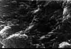
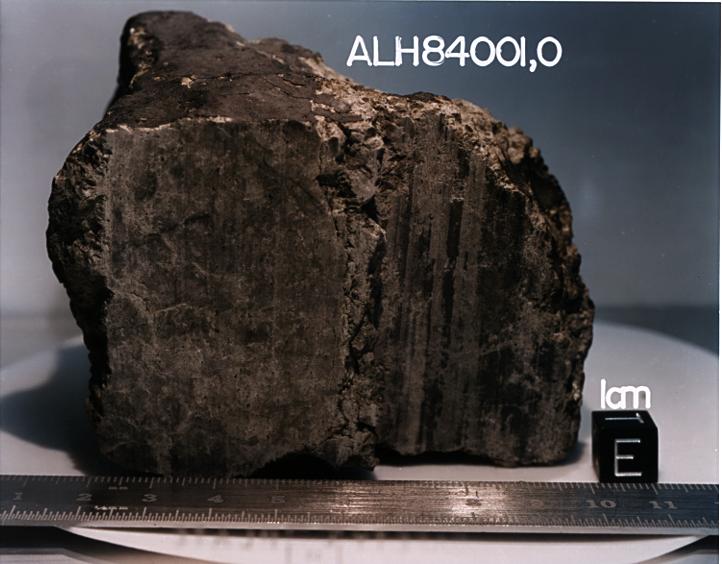
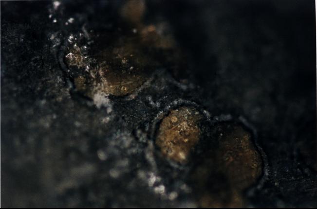
1996-08-09 | Mars |
Antarctic Meteorite Location and Mapping Project (AMLAMP) |
720x545x1 | |
|
|||||
|
|
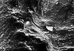
1996-08-09 | Mars |
Antarctic Meteorite Location and Mapping Project (AMLAMP) |
712x484x1 | |
|
|||||
|
|
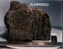
1996-08-09 | Mars |
Antarctic Meteorite Location and Mapping Project (AMLAMP) |
720x493x1 | |
|
|||||
|
|
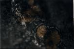
1996-08-09 | Mars |
Antarctic Meteorite Location and Mapping Project (AMLAMP) |
491x718x1 | |
|
|||||
|
|
1996-08-09 | Mars |
Antarctic Meteorite Location and Mapping Project (AMLAMP) |
716x493x1 | |
|
|||||
|
|
1996-08-09 | Mars |
Antarctic Meteorite Location and Mapping Project (AMLAMP) |
718x497x1 | |
|
|||||
|
|
1996-08-08 | Mars |
Antarctic Meteorite Location and Mapping Project (AMLAMP) |
722x564x3 | |
|
|||||
|
|
1996-08-08 | Mars |
Antarctic Meteorite Location and Mapping Project (AMLAMP) |
651x430x3 | |
|
|||||
|
|
1998-06-04 | Mars |
Viking |
4511x4172x3 | |
|
|||||
|
|
1998-06-04 | Mars |
Viking |
Visual Imaging Subsystem - Camera B |
3100x4400x3 |
|
|||||
|
|
1998-06-04 | Mars |
Viking |
Visual Imaging Subsystem - Camera B |
1024x880x3 |
|
|||||
|
|
1998-06-04 | Mars |
Viking |
Visual Imaging Subsystem - Camera B |
964x832x3 |
|
|||||
|
|
1998-06-04 | Mars |
Viking |
Visual Imaging Subsystem - Camera A |
1015x840x3 |
|
|||||
|
|
1998-06-04 | Mars |
Viking |
Visual Imaging Subsystem - Camera B |
1100x820x3 |
|
|||||
|
|
1998-06-04 | Mars |
Viking |
Visual Imaging Subsystem - Camera B |
1040x934x3 |
|
|||||
|
|
1997-01-08 | Mars |
Viking |
Camera 2 |
1187x512x1 |
|
|||||
|
|
1997-01-08 | Mars |
Viking |
Camera 2 |
2131x512x1 |
|
|||||
|
|
1996-12-12 | Mars |
Viking |
Camera 2 |
1439x512x1 |

|
|||||
|
|
1996-12-30 | Mars |
Viking |
Camera 2 |
1203x1074x1 |

|
|||||
|
|
1996-12-30 | Mars |
Viking |
Camera 2 |
2497x512x1 |

|
|||||
|
|
1996-12-12 | Mars |
Viking |
Camera 2 |
515x512x1 |

|
|||||
|
|
1996-12-12 | Mars |
Viking |
Camera 2 |
517x512x1 |
|
|||||
|
|
1996-12-12 | Mars |
Viking |
Camera 1 |
662x512x1 |
|
|||||
|
|
1996-12-12 | Mars |
Viking |
Camera 1 |
490x512x1 |
|
|||||
|
|
1996-12-12 | Mars |
Viking |
Camera 1 |
508x434x1 |
|
|||||
|
|
1996-12-12 | Mars |
Viking |
Camera 1 |
251x512x1 |
|
|||||
|
|
1996-12-12 | Mars |
Viking |
Camera 1 |
520x512x1 |

|
|||||
|
|
1996-12-30 | Mars |
Viking |
Camera 1 |
2501x512x1 |

|
|||||
|
|
1996-12-12 | Mars |
Viking |
Camera 1 |
355x489x1 |
|
|||||
|
|
1996-12-30 | Mars |
Viking |
Camera 1 |
2490x512x1 |

|
|||||
|
|
1996-12-12 | Mars |
Viking |
Camera 2 |
272x386x1 |
|
|||||
|
|
1996-12-12 | Mars |
Viking |
Camera 2 |
259x402x1 |
|
|||||
|
|
1996-12-12 | Mars |
Viking |
Camera 1 |
1614x512x1 |
|
|||||
|
|
1996-12-12 | Mars |
Viking |
Camera 1 |
728x512x1 |
|
|||||
|
|
1997-01-08 | Mars |
Viking |
Camera 2 |
439x512x1 |
|
|||||
|
|
1997-01-08 | Mars |
Viking |
Camera 2 |
2622x512x1 |

|
|||||
|
|
1998-06-08 | Mars |
Viking |
Visual Imaging Subsystem - Camera A |
3352x3222x3 |
|
|||||
|
|
1998-06-08 | Mars |
Viking |
Visual Imaging Subsystem - Camera B |
6035x6580x3 |

|
|||||
|
|
1998-06-08 | Mars |
Viking |
6787x6787x3 | |
|
|||||
|
|
1998-06-08 | Mars |
Viking |
7700x9203x3 | |
|
|||||
 |
 |
|
|
|
|
|
|
|
|

|
|
| 1-100 | 101-200 | 201-300 | 301-400 | 401-500 | 501-600 | 601-700 | 701-800 | 801-900 | 901-1000 |
| Currently displaying images: 1 - 100 of 12731 |