My
List |
Addition Date
|
Target
|
Mission
|
Instrument
|
Size
|

|
2003-12-18 |
Mars
|
2001 Mars Odyssey
Mars Global Surveyor (MGS)
|
Mars Orbiter Camera (MOC)
Thermal Emission Imaging System
Visual Imaging Subsystem
|
2880x2880x3 |

|
-
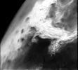
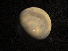
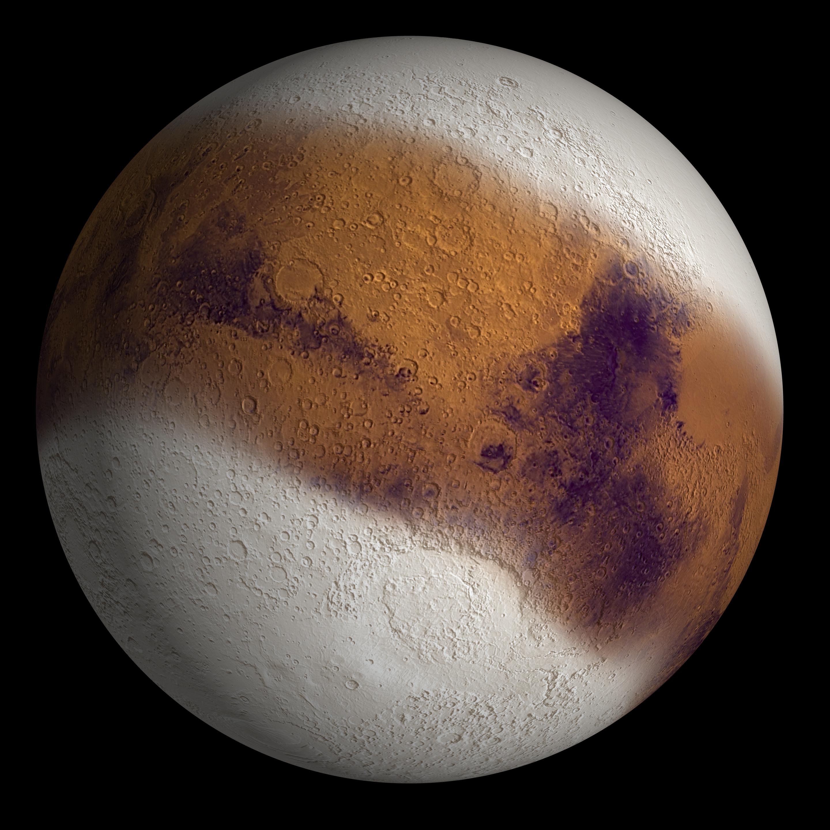
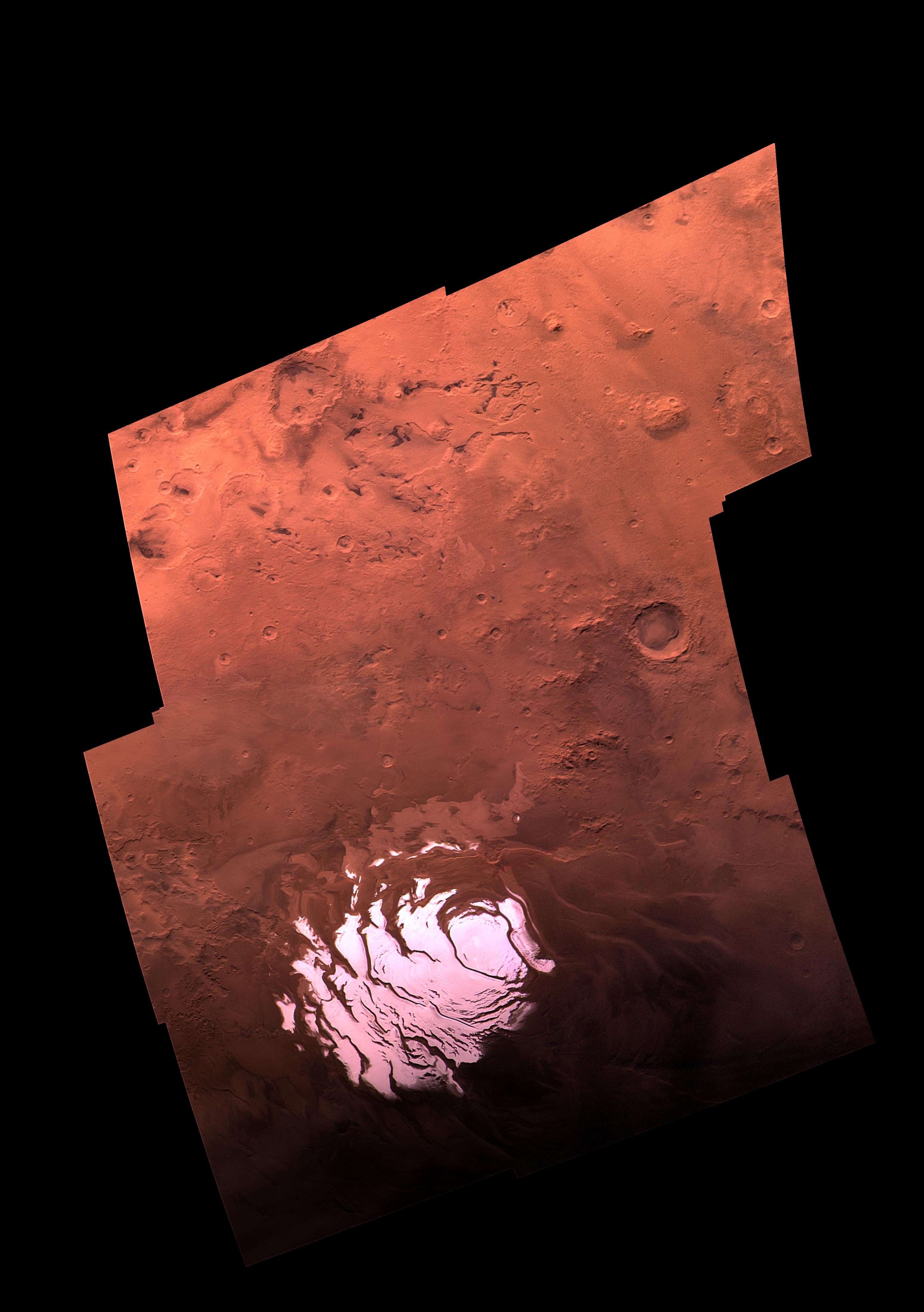
PIA04933:
-
Mars Ice Age, Simulated
Full Resolution:
TIFF
(15.45 MB)
JPEG
(717.5 kB)
|
|
|
2000-11-04 |
Mars
|
Viking
|
|
1169x1055x1 |
|
-
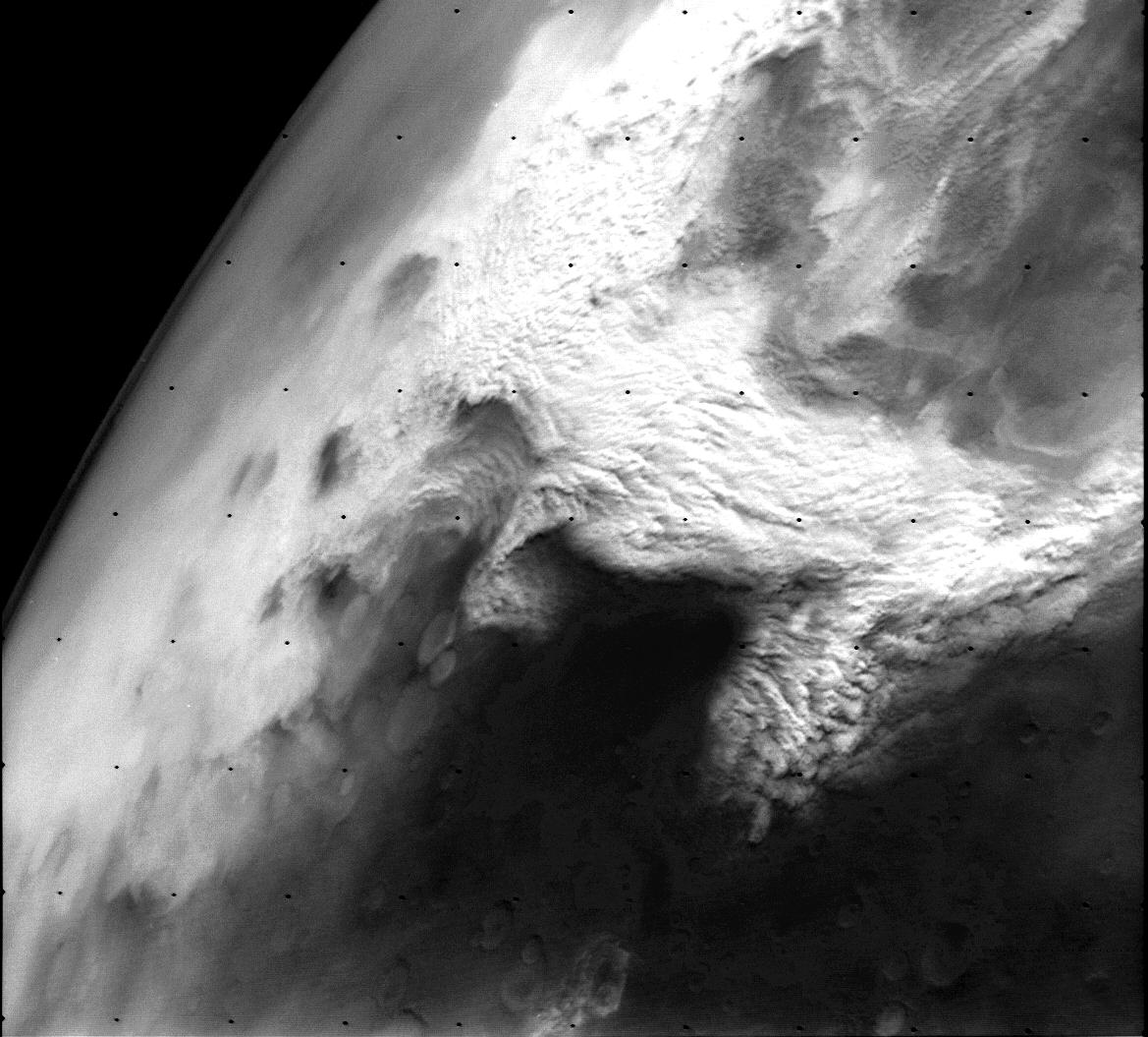
PIA02985:
-
Dust storm in the Thaumasia region of Mars
Full Resolution:
TIFF
(384.9 kB)
JPEG
(152.2 kB)
|
|
|
1999-08-26 |
Mars
|
Mars Global Surveyor (MGS)
Viking
|
|
1280x960x3 |
|
-
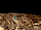
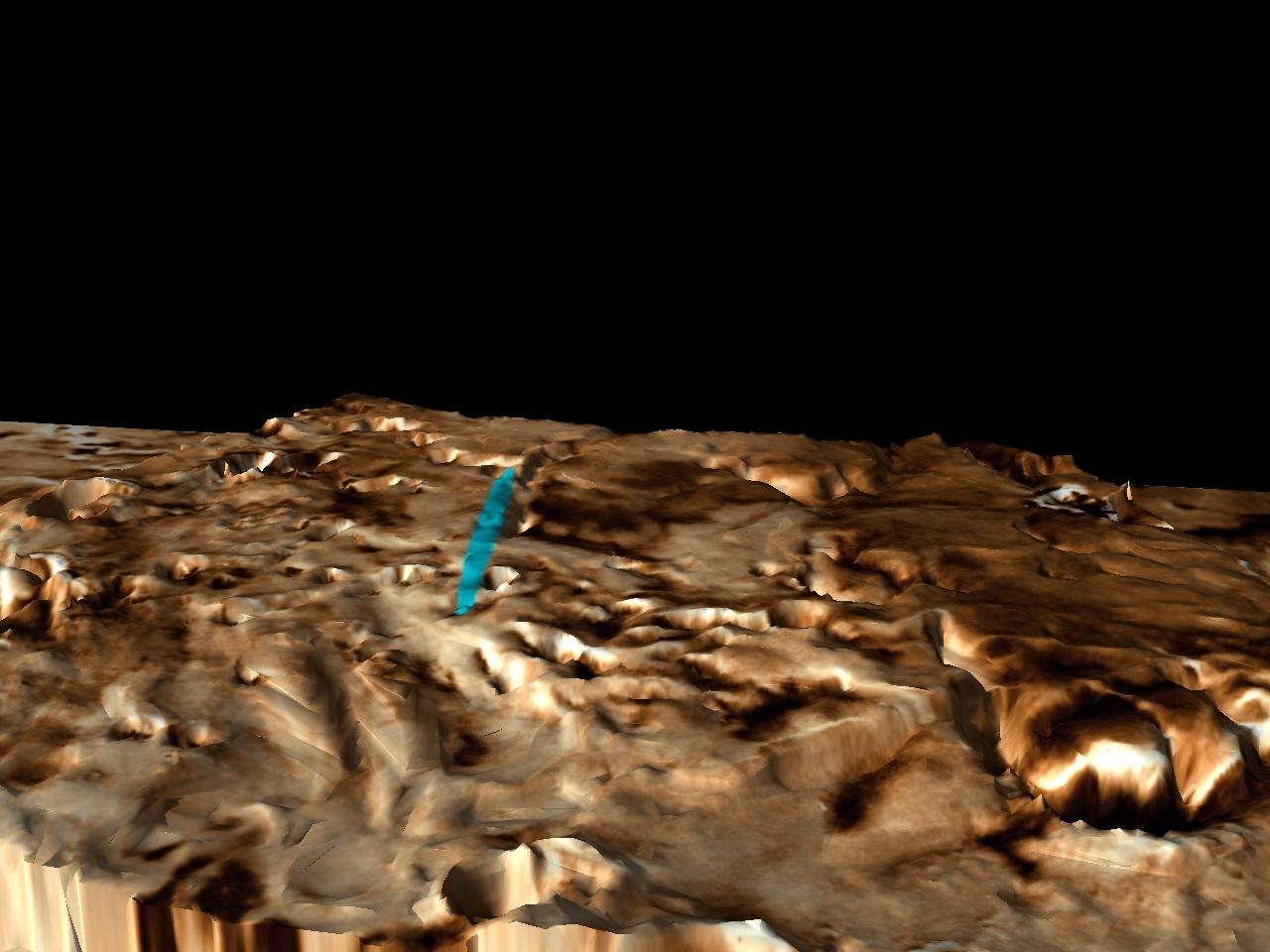
PIA02318:
-
Proposed Mars Polar Lander Landing Site (Perspective View 3)
Full Resolution:
TIFF
(2.251 MB)
JPEG
(110.4 kB)
|
|
|
1999-08-26 |
Mars
|
Mars Global Surveyor (MGS)
Viking
|
|
2560x1920x3 |
|
-
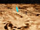
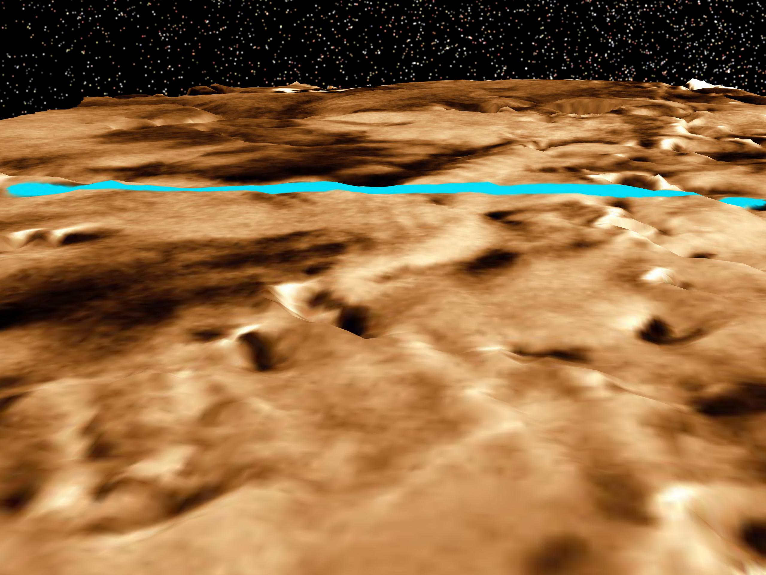
PIA02317:
-
Proposed Mars Polar Lander Landing Site (Perspective View 2)
Full Resolution:
TIFF
(10.63 MB)
JPEG
(353 kB)
|
|
|
1999-08-26 |
Mars
|
Mars Global Surveyor (MGS)
Viking
|
|
2560x1920x3 |
|
-
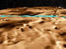
PIA02316:
-
Proposed Mars Polar Lander Landing Site (Perspective View 1)
Full Resolution:
TIFF
(11.63 MB)
JPEG
(436.4 kB)
|
|
|
1999-08-26 |
Mars
|
Mars Global Surveyor (MGS)
Viking
|
|
2560x1920x3 |
|
-
PIA02315:
-
Proposed Mars Polar Lander Landing Site (Global Perspective)
Full Resolution:
TIFF
(7.41 MB)
JPEG
(513.2 kB)
|
|
|
1999-08-26 |
Mars
|
Mars Global Surveyor (MGS)
Viking
|
|
1600x900x3 |
|
-
PIA02314:
-
Proposed Mars Polar Lander Landing Site (Flat Map)
Full Resolution:
TIFF
(3.895 MB)
JPEG
(258.4 kB)
|
|
|
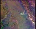
1998-06-08 |
Mars
|
Viking
|
|
14000x6800x3 |
|
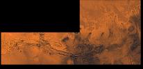
-
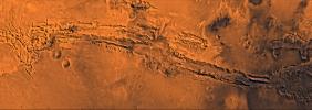
PIA00426:
-
Valles Marineris and Chryse Outflow Channels
Full Resolution:
TIFF
(138 MB)
JPEG
(8 MB)
|
|
|
1998-06-08 |
Mars
|
Viking
|
|
3194x2769x3 |
|
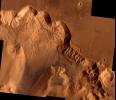
-
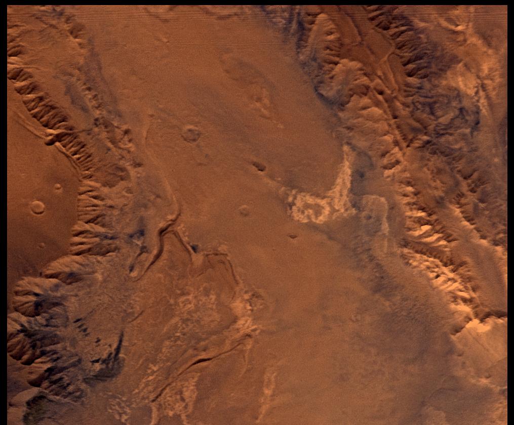
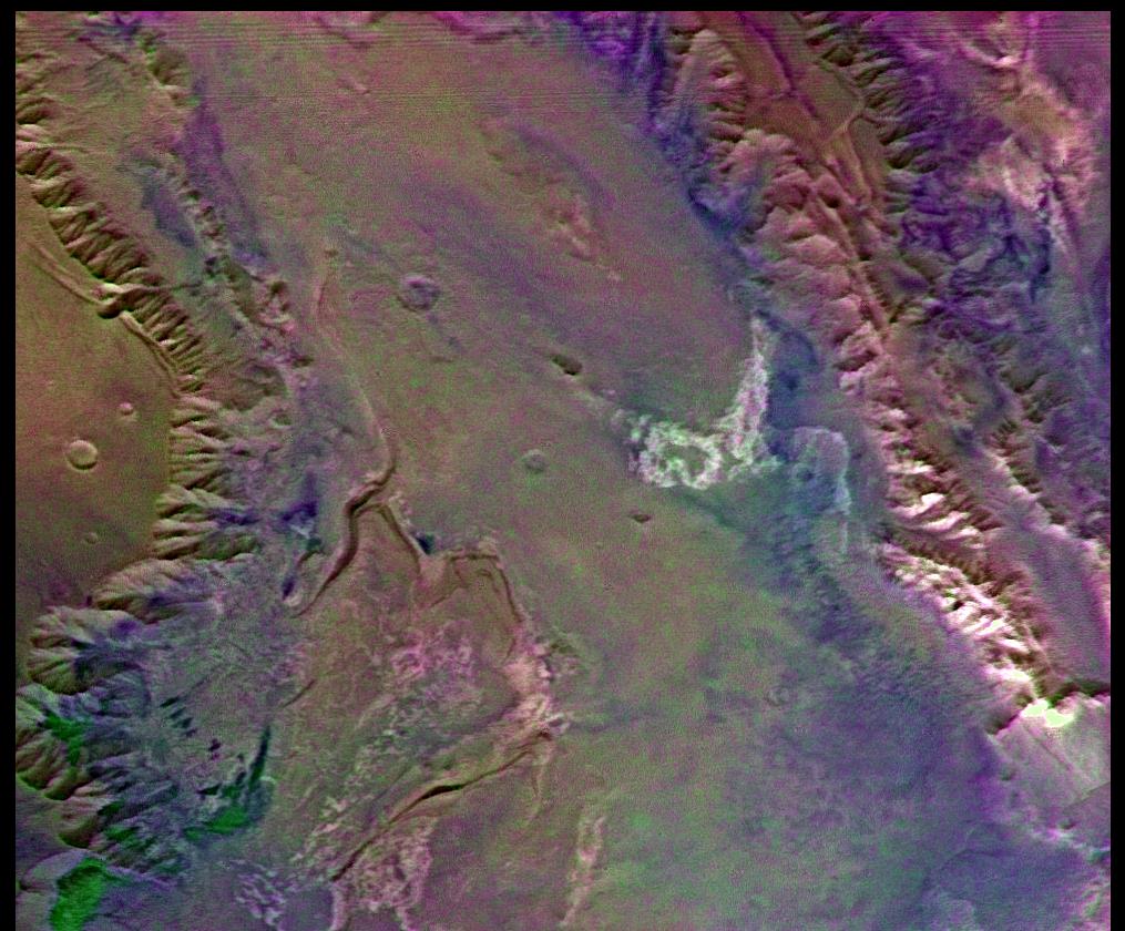
PIA00425:
-
Ophir Chasma
Full Resolution:
TIFF
(17.8 MB)
JPEG
(1.086 MB)
|
|
|
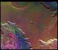
1998-06-08 |
Mars
|
Viking
|
|
9002x3196x3 |
|
-
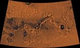
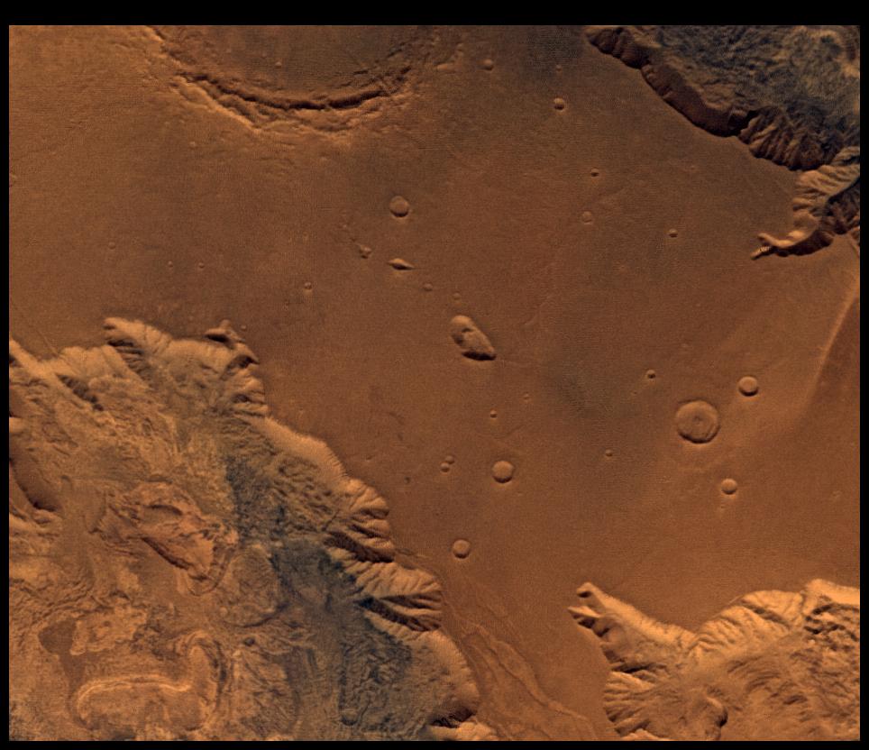
PIA00422:
-
Valles Marineris
Full Resolution:
TIFF
(64.08 MB)
JPEG
(3.633 MB)
|
|
|
1998-06-08 |
Mars
|
Viking
|
|
1580x1345x3 |
|
-
PIA00421:
-
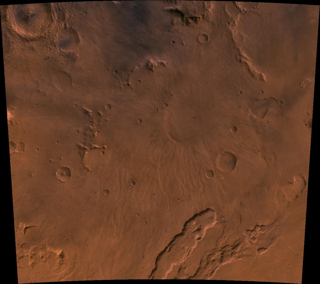
Tyrrhena Patera
Full Resolution:
TIFF
(3.795 MB)
JPEG
(183.7 kB)
|
|
|
1998-06-08 |
Mars
|
Viking
|
|
3220x1956x3 |
|
-
PIA00420:
-
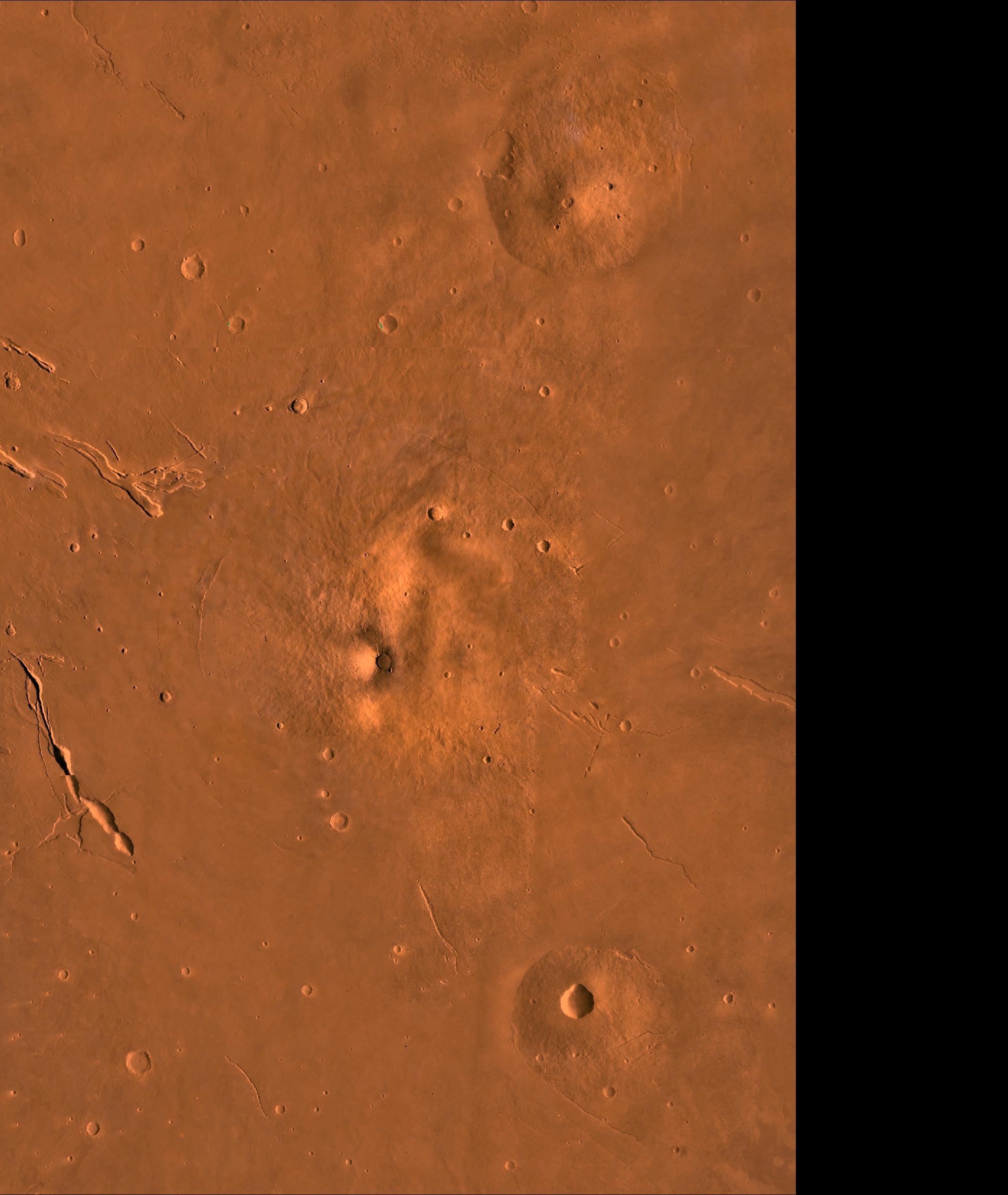
Crater Moreux
Full Resolution:
TIFF
(12 MB)
JPEG
(735.2 kB)
|
|
|
1998-06-08 |
Mars
|
Viking
|
|
318x981x3 |

|
-
PIA00419:
-
Scamander Vallis
Full Resolution:
TIFF
(482.3 kB)
JPEG
(38.02 kB)
|
|
|
1998-06-08 |
Mars
|
Viking
|
|
6002x6388x3 |
|
-
PIA00418:
-
Chryse Outflow Channel
Full Resolution:
TIFF
(82.05 MB)
JPEG
(4.376 MB)
|
|
|
1998-06-08 |
Mars
|
Viking
|
|
2962x2741x3 |
|
-
PIA00417:
-
Nilosyrtis Mensae
Full Resolution:
TIFF
(17.51 MB)
JPEG
(1.036 MB)
|
|
|
1998-06-08 |
Mars
|
Viking
|
|
8292x6485x3 |

|
-
PIA00416:
-
Hellas Planitia
Full Resolution:
TIFF
(104.5 MB)
JPEG
(6.709 MB)
|
|
|
1998-06-08 |
Mars
|
Viking
|
|
1238x1101x3 |
|
-
PIA00415:
-
Hadriaca Patera
Full Resolution:
TIFF
(2.107 MB)
JPEG
(116.9 kB)
|
|
|
1998-06-08 |
Mars
|
Viking
|
|
1265x2696x3 |
|
-
PIA00414:
-
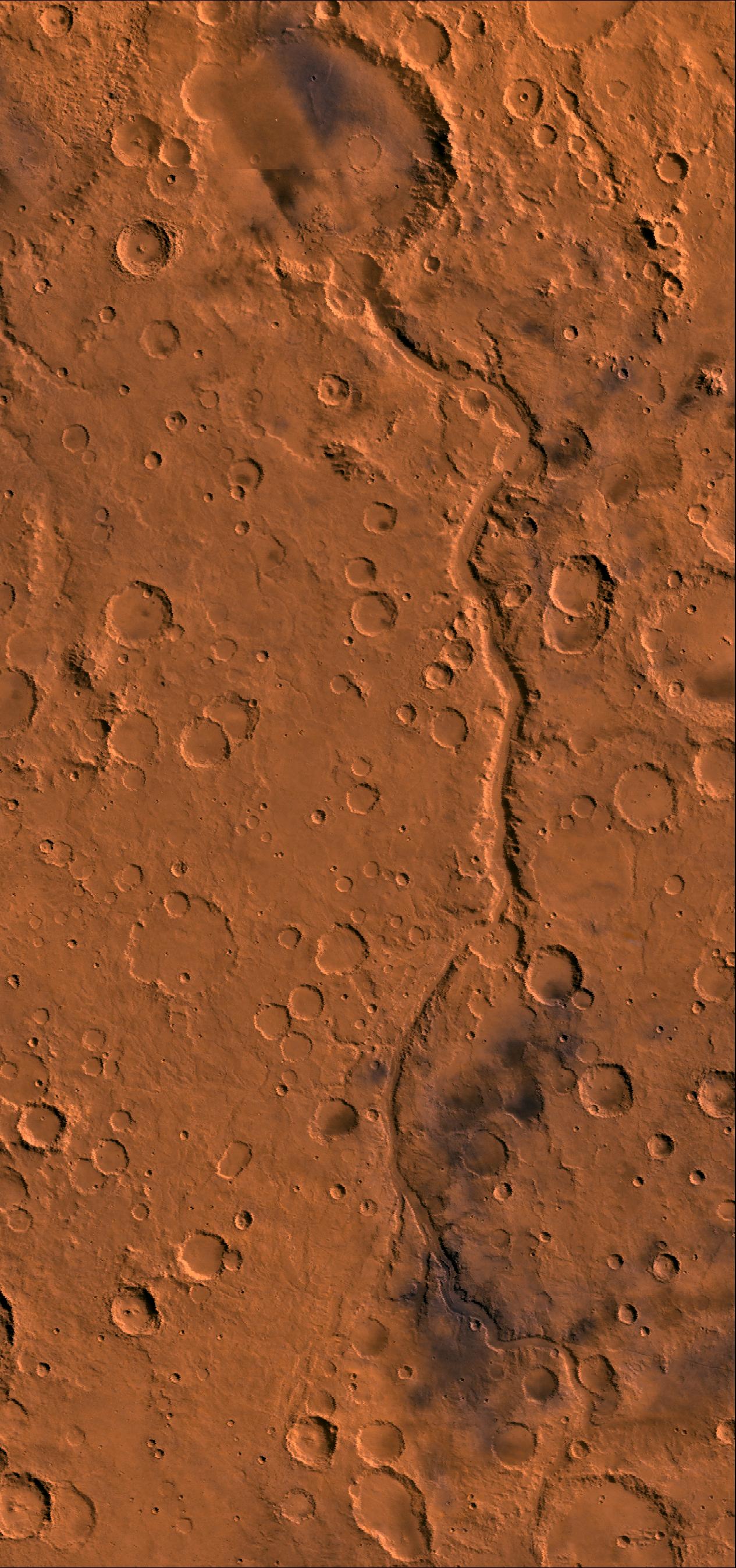
Ma'adim Vallis
Full Resolution:
TIFF
(6.854 MB)
JPEG
(536.6 kB)
|
|
|
1998-06-08 |
Mars
|
Viking
|
|
1264x632x3 |
|
-
PIA00413:
-
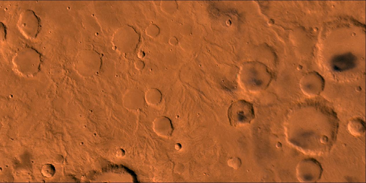
Fine Channel Networks
Full Resolution:
TIFF
(1.496 MB)
JPEG
(101.1 kB)
|
|
|
1998-06-08 |
Mars
|
Viking
|
|
2100x2491x3 |
|
-
PIA00412:
-
Elysium
Full Resolution:
TIFF
(7.156 MB)
JPEG
(403 kB)
|
|
|
1998-06-08 |
Mars
|
Viking
|
|
1438x973x3 |
|
-
PIA00410:
-
Amphitrites Patera
Full Resolution:
TIFF
(2.864 MB)
JPEG
(243.3 kB)
|
|
|
1998-06-08 |
Mars
|
Viking
|
|
3532x2763x3 |
|
-
PIA00409:
-
Alba Patera
Full Resolution:
TIFF
(14.73 MB)
JPEG
(760.6 kB)
|
|
|
1998-06-08 |
Mars
|
Viking
|
|
7700x9203x3 |
|
-
PIA00408:
-
Tharsis
Full Resolution:
TIFF
(127.9 MB)
JPEG
(7.091 MB)
|
|
|
1998-06-04 |
Mars
|
Viking
|
Visual Imaging Subsystem - Camera B
|
1040x934x3 |
|
-
PIA00339:
-
Memnonia Fossae, Approximately Natural Color
Full Resolution:
TIFF
(2.08 MB)
JPEG
(146 kB)
|
|
|
1998-06-04 |
Mars
|
Viking
|
Visual Imaging Subsystem - Camera A
|
1015x840x3 |
|
-
PIA00337:
-
Melas Chasm, Approximately Natural Color
Full Resolution:
TIFF
(2.288 MB)
JPEG
(118.5 kB)
|
|
|
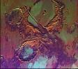
1998-06-04 |
Mars
|
Viking
|
Visual Imaging Subsystem - Camera B
|
964x832x3 |
|
-
PIA00336:
-
West Candor Chasm, Approximately Natural Color
Full Resolution:
TIFF
(1.857 MB)
JPEG
(107.1 kB)
|
|
|
1998-06-04 |
Mars
|
Viking
|
Visual Imaging Subsystem - Camera B
|
3100x4400x3 |
|
-
PIA00301:
-
South Polar Residual Ice Cap
Full Resolution:
TIFF
(18.16 MB)
JPEG
(1.098 MB)
|
|
|
1998-06-04 |
Mars
|
Viking
|
Visual Imaging Subsystem - Camera A
|
1015x840x3 |
|
-
PIA00156:
-
Melas Chasm (Enhanced Color)
Full Resolution:
TIFF
(2.795 MB)
JPEG
(152.8 kB)
|
|
|
1998-06-04 |
Mars
|
Viking
|
Visual Imaging Subsystem - Camera B
|
964x832x3 |
|
-
PIA00155:
-
West Candor Chasm (Enhanced Color)
Full Resolution:
TIFF
(2.564 MB)
JPEG
(139.3 kB)
|
|
|
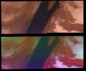
1998-06-04 |
Mars
|
Viking
|
Visual Imaging Subsystem - Camera A
|
2048x1700x3 |
|
-
PIA00152:
-
North Polar Cap Margin (natural color (top) and enhanced color (bottom))
Full Resolution:
TIFF
(9.474 MB)
JPEG
(467.8 kB)
|
|
|
1998-06-04 |
Mars
|
Viking
|
Visual Imaging Subsystem - Camera B
|
1040x934x3 |
|
-
PIA00151:
-
Memnonia Fossae (Enhanced Color)
Full Resolution:
TIFF
(3.299 MB)
JPEG
(186 kB)
|
 Planetary Data System


