|
Your search criteria found 86 images Target is Mars (and available satellites) |
| My List |
Addition Date
|
Target | Mission | Instrument | Size |

|
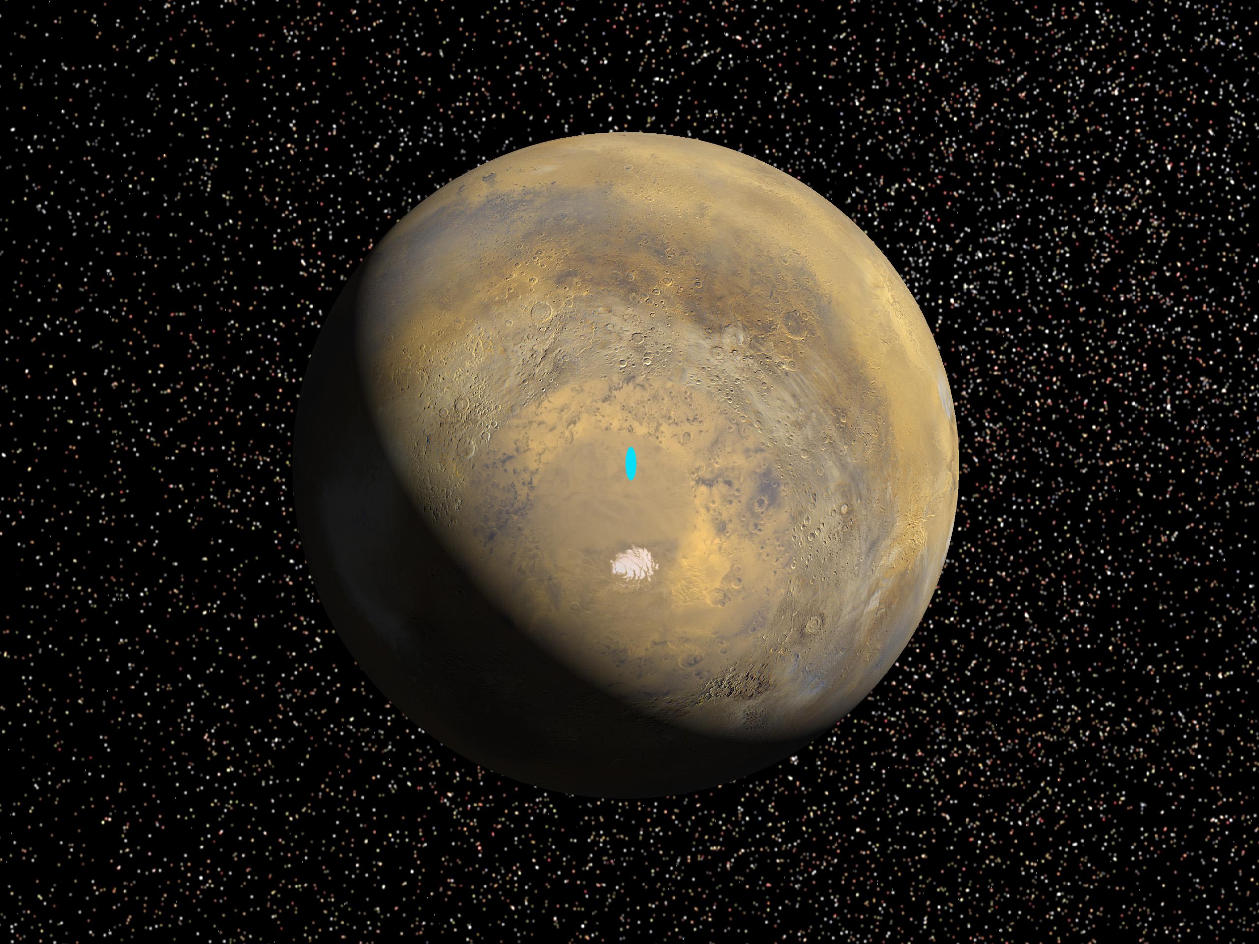
1998-06-08 | Mars |
Viking |
1265x2696x3 | |
|
|
|||||
|
|
1998-06-08 | Mars |
Viking |
1238x1101x3 | |
|
|||||
|
|
1998-06-08 | Mars |
Viking |
8292x6485x3 | |

|
|||||
|
|
1998-06-08 | Mars |
Viking |
2962x2741x3 | |
|
|||||
|
|
1998-06-08 | Mars |
Viking |
318x981x3 | |
|
|
|||||
|
|
1998-06-08 | Mars |
Viking |
3220x1956x3 | |
|
|||||
|
|
1998-06-08 | Mars |
Viking |
1580x1345x3 | |
|
|||||
|
|
1998-06-08 | Mars |
Viking |
9002x3196x3 | |
|
|||||
|
|
1998-06-08 | Mars |
Viking |
Visual Imaging Subsystem - Camera B |
5367x5053x3 |
|
|||||
|
|
1998-06-08 | Mars |
Viking |
3194x2769x3 | |
|
|||||
|
|
1998-06-08 | Mars |
Viking |
14000x6800x3 | |
|
|||||
|
|
1999-08-26 | Mars |
Mars Global Surveyor (MGS) Viking |
1600x900x3 | |
|
|||||
|
|
1999-08-26 | Mars |
Mars Global Surveyor (MGS) Viking |
2560x1920x3 | |
|
|||||
|
|
1999-08-26 | Mars |
Mars Global Surveyor (MGS) Viking |
2560x1920x3 | |
|
|||||
|
|
1999-08-26 | Mars |
Mars Global Surveyor (MGS) Viking |
2560x1920x3 | |
|
|||||
|
|
1999-08-26 | Mars |
Mars Global Surveyor (MGS) Viking |
1280x960x3 | |
|
|||||
|
|
2000-11-04 | Mars |
Viking |
1124x1040x3 | |
|
|||||
|
|
2000-11-04 | Mars |
Viking |
595x742x3 | |
|
|||||
|
|
2000-11-07 | Mars |
Viking |
600x600x3 | |

|
|||||
|
|
2000-11-10 | Mars |
Viking |
Visual Imaging Subsystem - Camera A |
11649x5721x3 |
|
|||||
|
|
2001-02-21 | Mars |
Viking |
Visual Imaging Subsystem |
5072x4499x3 |

|
|||||
|
|
2003-02-05 | Mars |
Viking |
Visual Imaging Subsystem - Camera A |
2024x1919x3 |
|
|||||
|
|
2003-04-11 | Mars |
Viking |
Visual Imaging Subsystem |
5334x4267x3 |
|
|||||
|
|
2003-04-11 | Mars |
Viking |
Visual Imaging Subsystem |
8530x4267x3 |
|
|||||
|
|
2003-12-18 | Mars |
2001 Mars Odyssey Mars Global Surveyor (MGS) |
Mars Orbiter Camera (MOC) Thermal Emission Imaging System Visual Imaging Subsystem |
2880x2880x3 |

|
|||||
|
|
2014-02-12 | Mars |
Viking |
669x650x1 | |
|
|||||

|
|
| Currently displaying images: 61 - 86 of 86 |