|
Your search criteria found 12731 images Target is Mars (and available satellites) |
| My List |
Addition Date | Target | Mission | Instrument |
Size
|

|
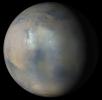
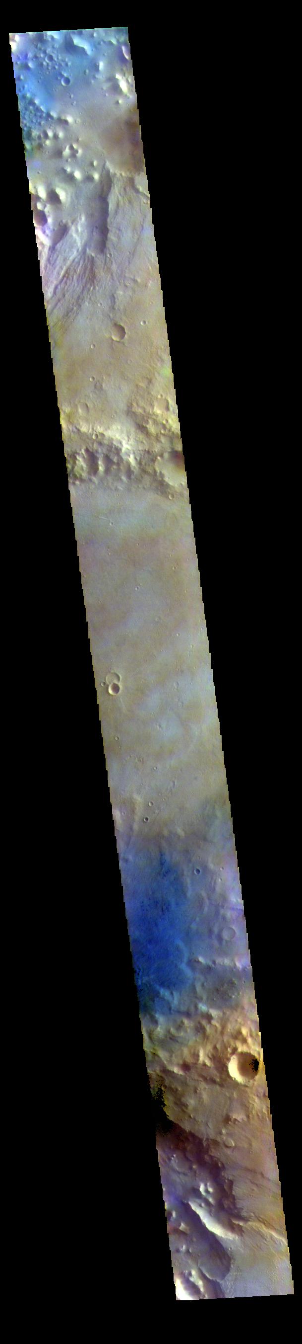
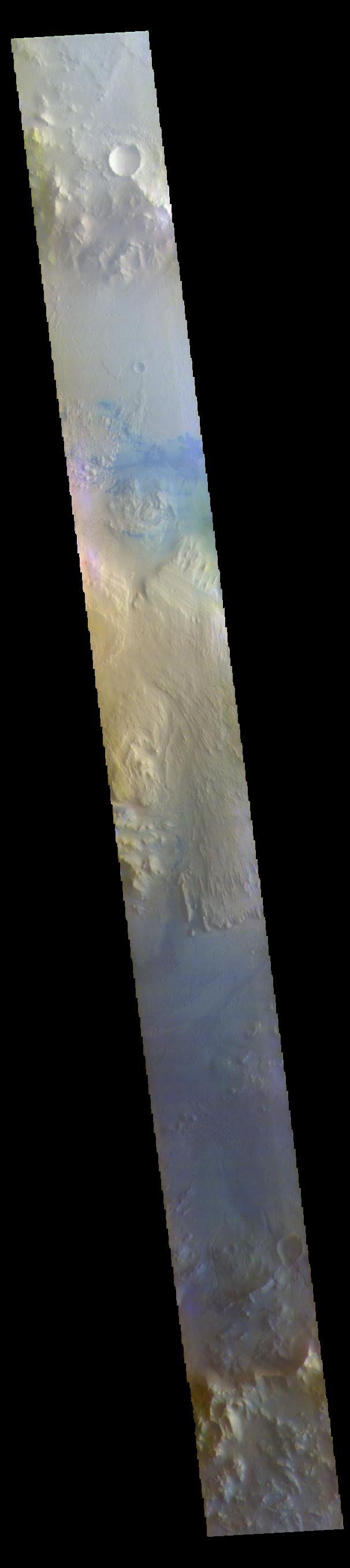
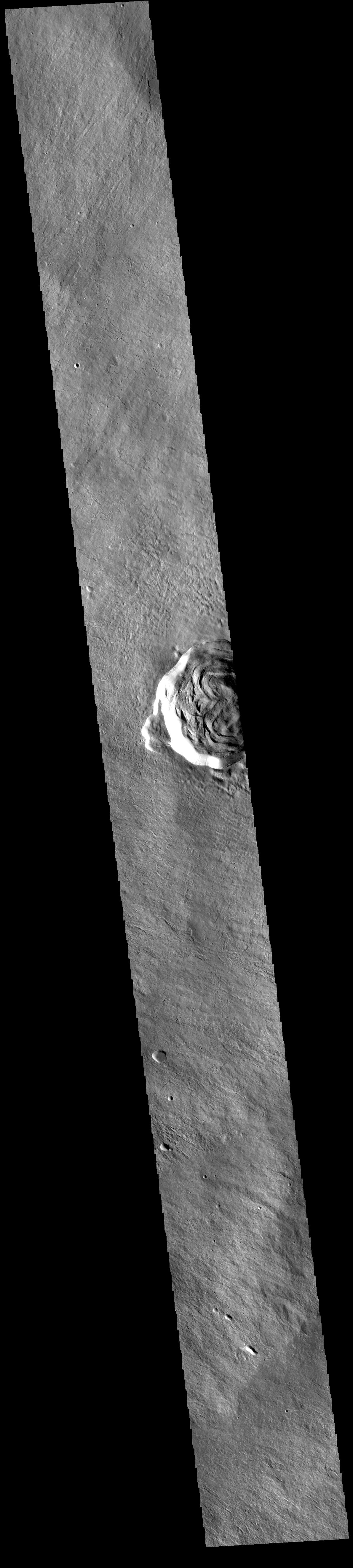
2022-02-04 | Mars |
2001 Mars Odyssey |
THEMIS |
704x1436x1 |
|
|
|||||
|
|
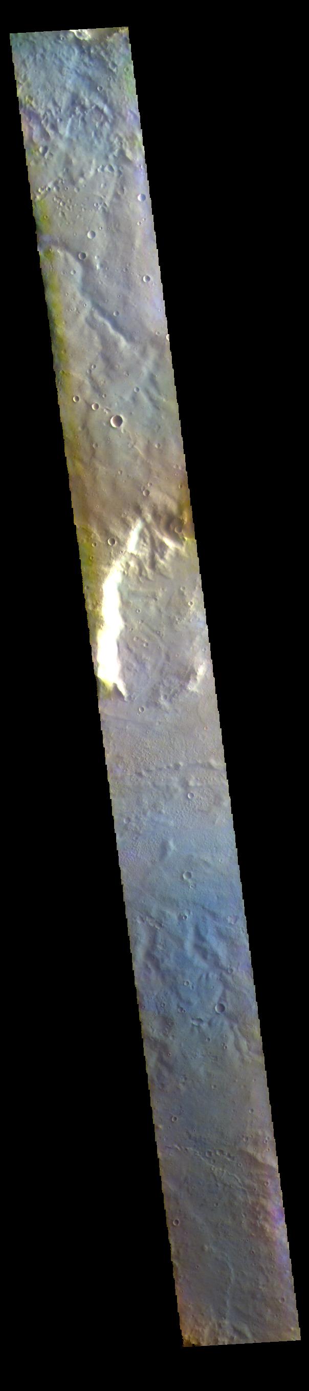
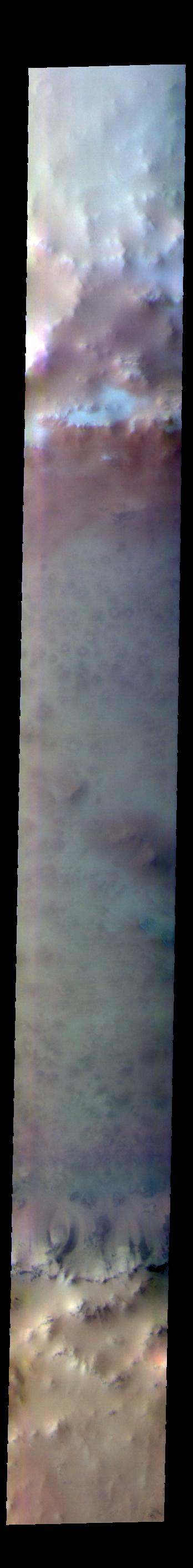
2022-02-03 | Mars |
2001 Mars Odyssey |
THEMIS |
615x2698x1 |
|
|
|||||
|
|
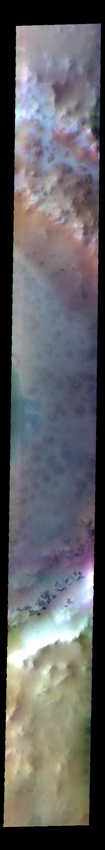
2022-02-02 | Mars |
2001 Mars Odyssey |
THEMIS |
695x1427x1 |
|
|
|||||
|
|
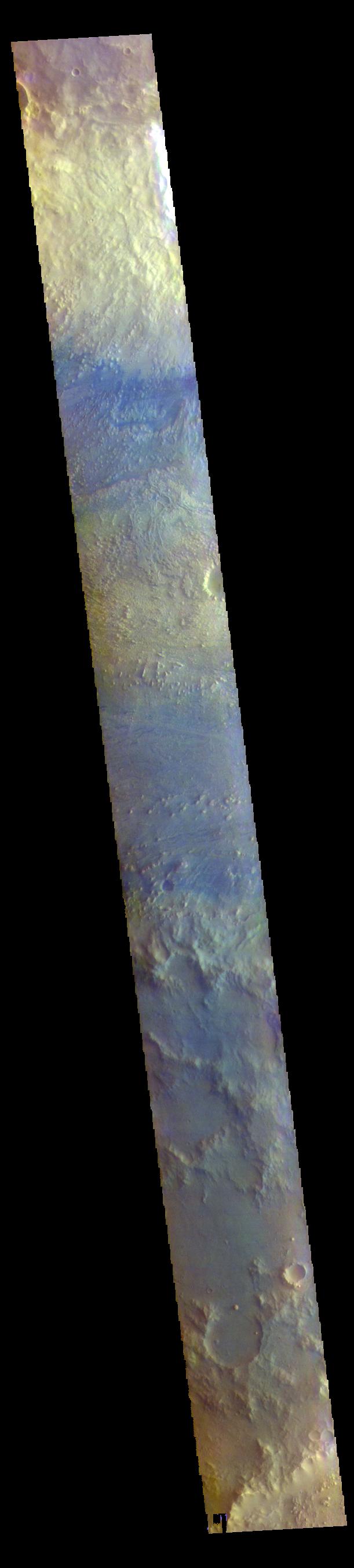
2022-02-01 | Mars |
2001 Mars Odyssey |
THEMIS |
614x2694x1 |
|
|
|||||
|
|
2022-01-31 | Mars |
2001 Mars Odyssey |
THEMIS |
669x1411x1 |
|
|
|||||
|
|
2022-01-28 | Mars |
2001 Mars Odyssey |
THEMIS |
713x1447x1 |
|
|
|||||
|
|
2022-01-27 | Mars |
2001 Mars Odyssey |
THEMIS |
707x1443x1 |
|
|
|||||
|
|
2022-01-26 | Mars |
2001 Mars Odyssey |
THEMIS |
690x1425x1 |
|
|
|||||
|
|
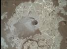
2022-01-26 | Mars |
Mars Reconnaissance Orbiter (MRO) |
CTX |
2100x1306x1 |
|
|||||
|
|
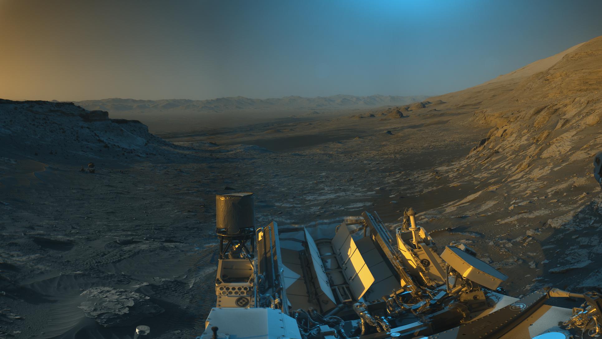
2022-01-25 | Mars |
Mars Science Laboratory (MSL) |
Mastcam |
4550x5688x3 |
|
|||||
|
|
2022-01-25 | Mars |
2001 Mars Odyssey |
THEMIS |
716x1452x1 |
|
|
|||||
|
|
2022-01-24 | Mars |
2001 Mars Odyssey |
THEMIS |
710x1445x1 |
|
|
|||||
|
|
2022-01-21 | Mars |
Mars Reconnaissance Orbiter (MRO) |
HiRISE |
2880x1800x3 |
|
|||||
|
|
2022-01-21 | Mars |
Mars Reconnaissance Orbiter (MRO) |
HiRISE |
2880x1800x3 |

|
|||||
|
|
2022-01-21 | Mars |
Mars Reconnaissance Orbiter (MRO) |
HiRISE |
2880x1800x3 |
|
|||||
|
|
2022-01-21 | Mars |
Mars Reconnaissance Orbiter (MRO) |
HiRISE |
2880x1800x3 |

|
|||||
|
|
2022-01-21 | Mars |
Mars 2020 Rover |
Mastcam-Z |
1648x1200x3 |
|
|||||
|
|
2022-01-21 | Mars |
Mars 2020 Rover |
Mastcam-Z |
1024x896x3 |
|
|||||
|
|
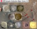
2022-01-21 | Mars |
Mars 2020 Rover |
Scanning Habitable Environments with Raman & Luminescence for Organics and Chemicals (SHERLOC) |
1200x1648x3 |
|
|||||
|
|
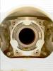
2022-01-21 | Mars |
Mars 2020 Rover |
Hazard Avoidance Camera (M2020) |
740x480x3 |
|
|||||
|
|
2022-01-21 | Mars |
2001 Mars Odyssey |
THEMIS |
706x1439x1 |
|
|
|||||
|
|
2022-01-20 | Mars |
2001 Mars Odyssey |
THEMIS |
612x2707x1 |
|
|
|||||
|
|
2022-01-19 | Mars |
Mars Reconnaissance Orbiter (MRO) |
MARCI |
470x461x3 |
|
|||||
|
|
2022-01-19 | Mars |
2001 Mars Odyssey |
THEMIS |
603x2716x1 |
|
|
|||||
|
|
2022-01-18 | Mars |
Mars Science Laboratory (MSL) |
MAHLI |
1632x1200x3 |
|
|||||
|
|
2022-01-18 | Mars |
2001 Mars Odyssey |
THEMIS |
700x1433x1 |
|
|
|||||
|
|
2022-01-17 | Mars |
2001 Mars Odyssey |
THEMIS |
607x2704x1 |
|
|
|||||
|
|
2022-01-14 | Mars |
2001 Mars Odyssey |
THEMIS |
608x2709x1 |
|
|
|||||
|
|
2022-01-13 | Mars |
2001 Mars Odyssey |
THEMIS |
683x1417x1 |
|
|
|||||
|
|
2022-01-12 | Mars |
2001 Mars Odyssey |
THEMIS |
695x1429x1 |
|
|
|||||
|
|
2022-01-11 | Mars |
2001 Mars Odyssey |
THEMIS |
609x2705x3 |
|
|
|||||
|
|
2022-01-10 | Mars |
2001 Mars Odyssey |
THEMIS |
604x2714x3 |
|
|
|||||
|
|
2022-01-07 | Mars |
Mars 2020 Rover |
Hazard Avoidance Camera (M2020) |
744x432x3 |

|
|||||
|
|
2022-01-07 | Mars |
Mars 2020 Rover |
Scanning Habitable Environments with Raman & Luminescence for Organics and Chemicals (SHERLOC) |
1184x1584x3 |
|
|||||
|
|
2022-01-07 | Mars |
2001 Mars Odyssey |
THEMIS |
604x2704x3 |
|
|
|||||
|
|
2022-01-06 | Mars |
2001 Mars Odyssey |
THEMIS |
606x2711x3 |
|
|
|||||
|
|
2022-01-05 | Mars |
2001 Mars Odyssey |
THEMIS |
608x2712x3 |
|
|
|||||
|
|
2022-01-04 | Mars |
2001 Mars Odyssey |
THEMIS |
607x2713x3 |
|
|
|||||
|
|
2022-01-03 | Mars |
2001 Mars Odyssey |
THEMIS |
605x2686x3 |
|
|
|||||
|
|
2021-12-31 | Mars |
2001 Mars Odyssey |
THEMIS |
612x2701x3 |
|
|
|||||
|
|
2021-12-30 | Mars |
2001 Mars Odyssey |
THEMIS |
610x2702x3 |
|
|
|||||
|
|
2021-12-29 | Mars |
2001 Mars Odyssey |
THEMIS |
611x2693x3 |
|
|
|||||
|
|
2021-12-28 | Mars |
Mars 2020 Rover |
Scanning Habitable Environments with Raman & Luminescence for Organics and Chemicals (SHERLOC) |
3300x2550x3 |
|
|||||
|
|
2021-12-28 | Mars |
2001 Mars Odyssey |
THEMIS |
606x2712x3 |
|
|
|||||
|
|
2021-12-27 | Mars |
2001 Mars Odyssey |
THEMIS |
348x2818x3 |
|
|
|||||
|
|
2021-12-24 | Mars |
2001 Mars Odyssey |
THEMIS |
350x2826x3 |
|
|
|||||
|
|
2021-12-23 | Mars |
2001 Mars Odyssey |
THEMIS |
611x2705x3 |
|
|
|||||
|
|
2021-12-22 | Mars |
2001 Mars Odyssey |
THEMIS |
614x2701x3 |
|
|
|||||
|
|
2021-12-21 | Mars |
2001 Mars Odyssey |
THEMIS |
612x2700x3 |
|
|
|||||
|
|
2021-12-20 | Mars |
Mars Reconnaissance Orbiter (MRO) |
HiRISE |
2880x1800x3 |
|
|||||
|
|
2021-12-20 | Mars |
Mars Reconnaissance Orbiter (MRO) |
HiRISE |
2880x1800x3 |
|
|||||
|
|
2021-12-20 | Mars |
Mars Reconnaissance Orbiter (MRO) |
HiRISE |
2880x1800x3 |
|
|||||
|
|
2021-12-20 | Mars |
Mars Reconnaissance Orbiter (MRO) |
HiRISE |
2880x1800x3 |
|
|||||
|
|
2021-12-20 | Mars |
2001 Mars Odyssey |
THEMIS |
615x2702x3 |
|
|
|||||
|
|
2021-12-17 | Mars |
2001 Mars Odyssey |
THEMIS |
611x2703x3 |
|
|
|||||
|
|
2021-12-16 | Mars |
Mars 2020 Rover |
Scanning Habitable Environments with Raman & Luminescence for Organics and Chemicals (SHERLOC) |
1524x1072x3 |
|
|||||
|
|
2021-12-16 | Mars |
Mars 2020 Rover |
Scanning Habitable Environments with Raman & Luminescence for Organics and Chemicals (SHERLOC) |
1900x700x3 |
|
|||||
|
|
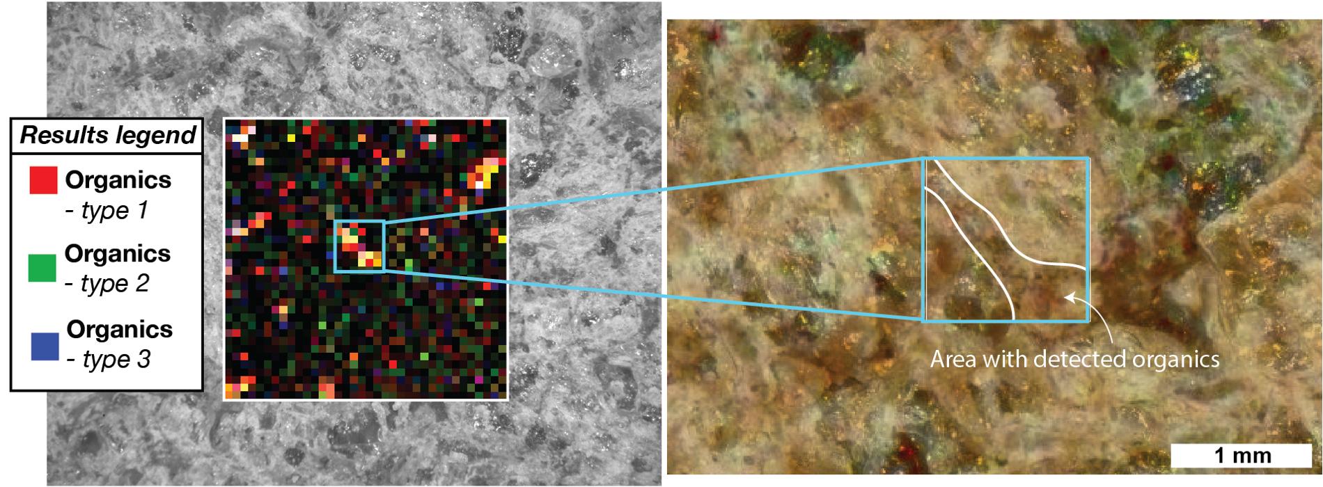
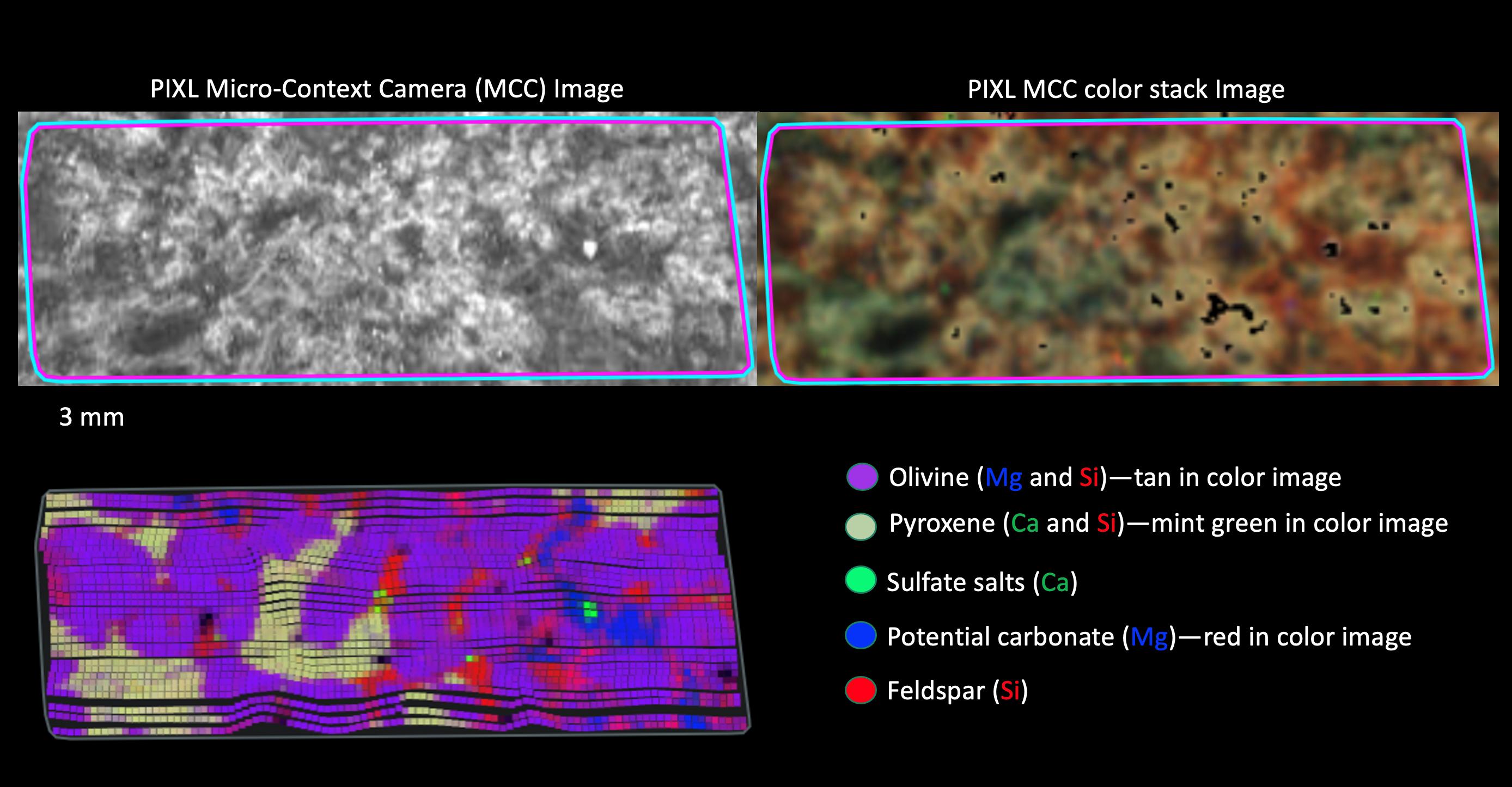
2021-12-16 | Mars |
Mars 2020 Rover |
Planetary Instrument for X-ray Lithochemistry (PIXL) |
2776x1446x3 |
|
|||||
|
|
2021-12-16 | Mars |
2001 Mars Odyssey |
THEMIS |
613x2697x3 |
|
|
|||||
|
|
2021-12-15 | Mars |
Mars 2020 Rover |
Scanning Habitable Environments with Raman & Luminescence for Organics and Chemicals (SHERLOC) |
1280x956x3 |
|
|||||
|
|
2021-12-15 | Mars |
Mars 2020 Rover |
SuperCam |
2102x2376x3 |
|
|||||
|
|
2021-12-15 | Mars |
Mars Reconnaissance Orbiter (MRO) |
HiRISE |
831x510x3 |
|
|||||
|
|
2021-12-15 | Mars |
Mars 2020 Rover |
2486x1078x3 | |
|
|||||
|
|
2021-12-15 | Mars |
Mars 2020 Rover |
Mastcam-Z |
960x274x3 |

|
|||||
|
|
2021-12-15 | Mars |
Mars 2020 Rover |
Mastcam-Z |
1648x1200x3 |
|
|||||
|
|
2021-12-15 | Mars |
Mars 2020 Rover |
406x422x3 | |

|
|||||
|
|
2021-12-15 | Mars |
Mars Reconnaissance Orbiter (MRO) |
HiRISE |
888x458x3 |
|
|||||
|
|
2021-12-15 | Mars |
Mars 2020 Rover |
Mastcam-Z |
934x518x3 |
|
|||||
|
|
2021-12-15 | Mars |
2001 Mars Odyssey |
THEMIS |
614x2700x3 |
|
|
|||||
|
|
2021-12-14 | Mars |
2001 Mars Odyssey |
THEMIS |
612x2706x3 |
|
|
|||||
|
|
2021-12-13 | Mars |
Mars 2020 Rover |
Mastcam-Z |
2700x3599x3 |
|
|||||
|
|
2021-12-13 | Mars |
2001 Mars Odyssey |
THEMIS |
258x2745x3 |
|
|
|||||
|
|
2021-12-10 | Mars |
2001 Mars Odyssey |
THEMIS |
260x2752x3 |
|
|
|||||
|
|
2021-12-09 | Mars |
2001 Mars Odyssey |
THEMIS |
260x2750x3 |
|
|
|||||
|
|
2021-12-08 | Mars |
2001 Mars Odyssey |
THEMIS |
260x2746x3 |
|
|
|||||
|
|
2021-12-07 | Mars |
Mars Reconnaissance Orbiter (MRO) |
HiRISE |
1060x1060x3 |

|
|||||
|
|
2021-12-07 | Mars |
2001 Mars Odyssey |
THEMIS |
596x2722x3 |
|
|
|||||
|
|
2021-12-06 | Mars |
2001 Mars Odyssey |
THEMIS |
669x1426x3 |
|
|
|||||
|
|
2021-12-03 | Mars |
2001 Mars Odyssey |
THEMIS |
592x2726x3 |
|
|
|||||
|
|
2021-12-02 | Mars |
2001 Mars Odyssey |
THEMIS |
592x2725x3 |
|
|
|||||
|
|
2021-12-01 | Mars |
2001 Mars Odyssey |
THEMIS |
673x1423x3 |
|
|
|||||
|
|
2021-11-30 | Mars |
2001 Mars Odyssey |
THEMIS |
664x1438x3 |
|
|
|||||
|
|
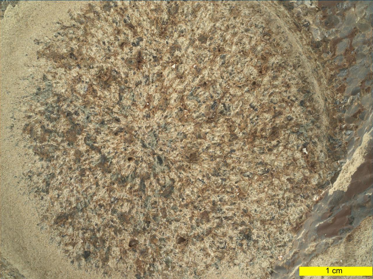
2021-11-29 | Mars |
Mars Science Laboratory (MSL) |
MAHLI |
25764x11268x3 |
|
|||||
|
|
2021-11-29 | Mars |
Mars Reconnaissance Orbiter (MRO) |
HiRISE |
2880x1800x3 |
|
|||||
|
|
2021-11-29 | Mars |
Mars Reconnaissance Orbiter (MRO) |
HiRISE |
2880x1800x3 |

|
|||||
|
|
2021-11-29 | Mars |
Mars Reconnaissance Orbiter (MRO) |
HiRISE |
2880x1800x3 |
|
|||||
|
|
2021-11-29 | Mars |
Mars Reconnaissance Orbiter (MRO) |
HiRISE |
2880x1800x3 |
|
|||||
|
|
2021-11-29 | Mars |
2001 Mars Odyssey |
THEMIS |
669x1419x3 |
|
|
|||||
|
|
2021-11-26 | Mars |
2001 Mars Odyssey |
THEMIS |
669x1421x3 |
|
|
|||||
|
|
2021-11-25 | Mars |
2001 Mars Odyssey |
THEMIS |
594x2725x3 |
|
|
|||||
|
|
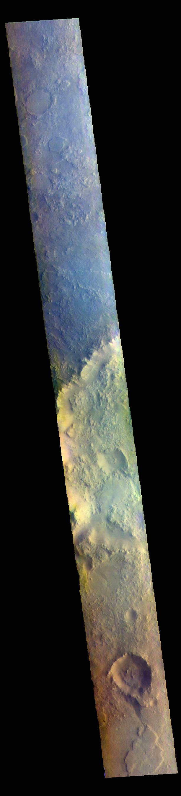
2021-11-24 | Mars |
2001 Mars Odyssey |
THEMIS |
1396x2660x1 |
|
|||||
|
|
2021-11-23 | Mars |
Mars Science Laboratory (MSL) |
Navcam (MSL) |
1932x1087x3 |

|
|||||
|
|
2021-11-23 | Mars |
2001 Mars Odyssey |
THEMIS |
699x1432x1 |
|
|
|||||
|
|
2021-11-22 | Mars |
2001 Mars Odyssey |
THEMIS |
691x1432x1 |
|
|
|||||
|
|
2021-11-19 | Mars |
2001 Mars Odyssey |
THEMIS |
704x1445x1 |
|
|
|||||
|
|
2021-11-18 | Mars |
Mars 2020 Rover |
Mastcam-Z |
1280x720x3 |
|
|||||
|
|
2021-11-18 | Mars |
Mars 2020 Rover |
Mastcam-Z |
1280x720x3 |
|
|||||
|
|
2021-11-18 | Mars |
2001 Mars Odyssey |
THEMIS |
868x2720x1 |
|
|
|||||
|
|
2021-11-17 | Mars |
Mars 2020 Rover |
Mastcam-Z |
4884x958x3 |

|
|||||
|
|
2021-11-17 | Mars |
2001 Mars Odyssey |
THEMIS |
1191x5286x1 |
|
|
|||||

|
 |
|
|
|
|
|
|
|
 |
 |

|
| 1-100 | 101-200 | 201-300 | 301-400 | 401-500 | 501-600 | 601-700 | 701-800 | 801-900 | 901-1000 |
| Currently displaying images: 801 - 900 of 12731 |