|
Your search criteria found 312 images Target is Enceladus |
| My List |
Addition Date | Target |
Mission
|
Instrument | Size |

|
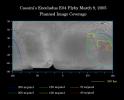
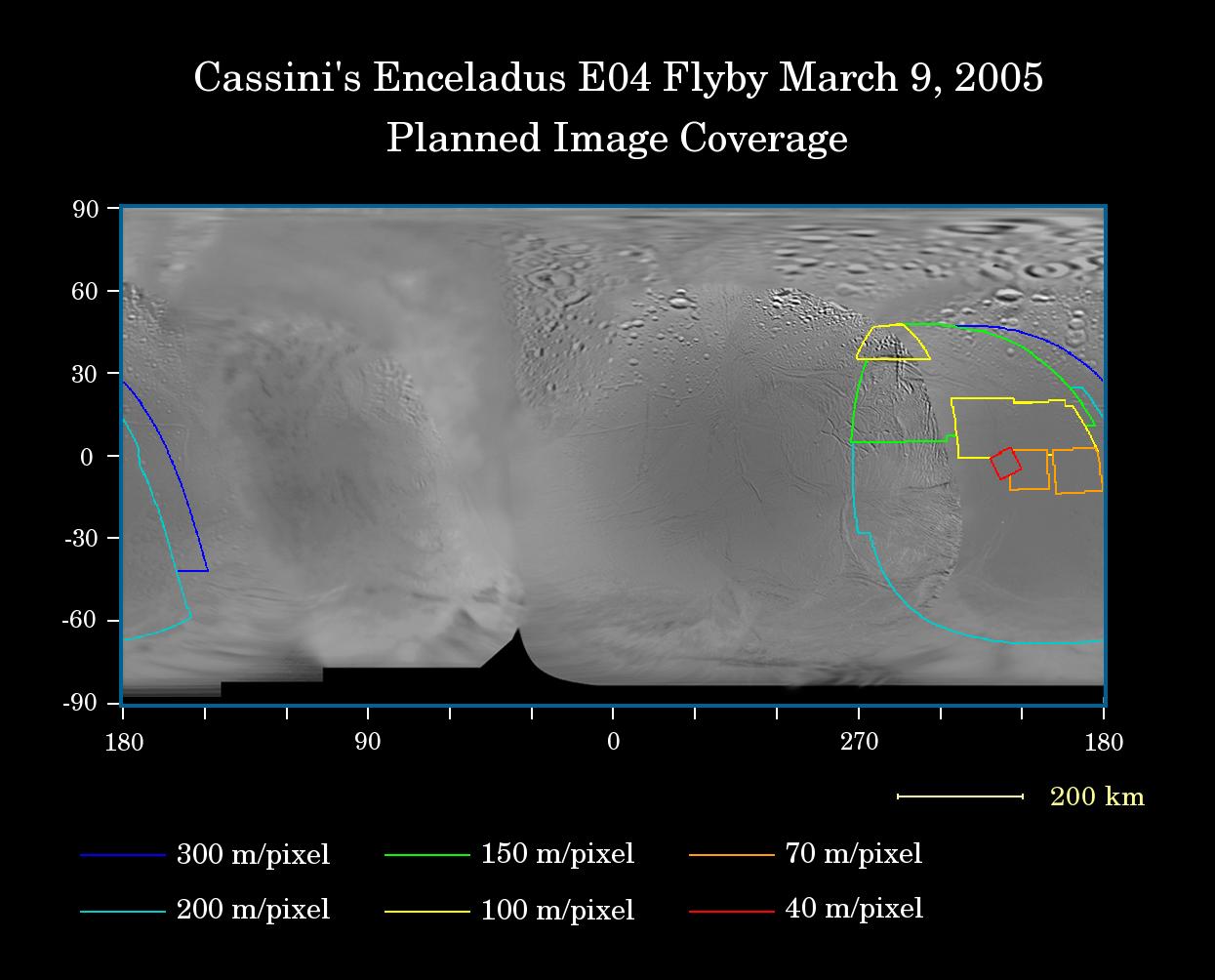
2005-03-08 | Enceladus |
Cassini-Huygens Voyager |
Imaging Science Subsystem |
1245x1004x3 |
|
|||||
|
|
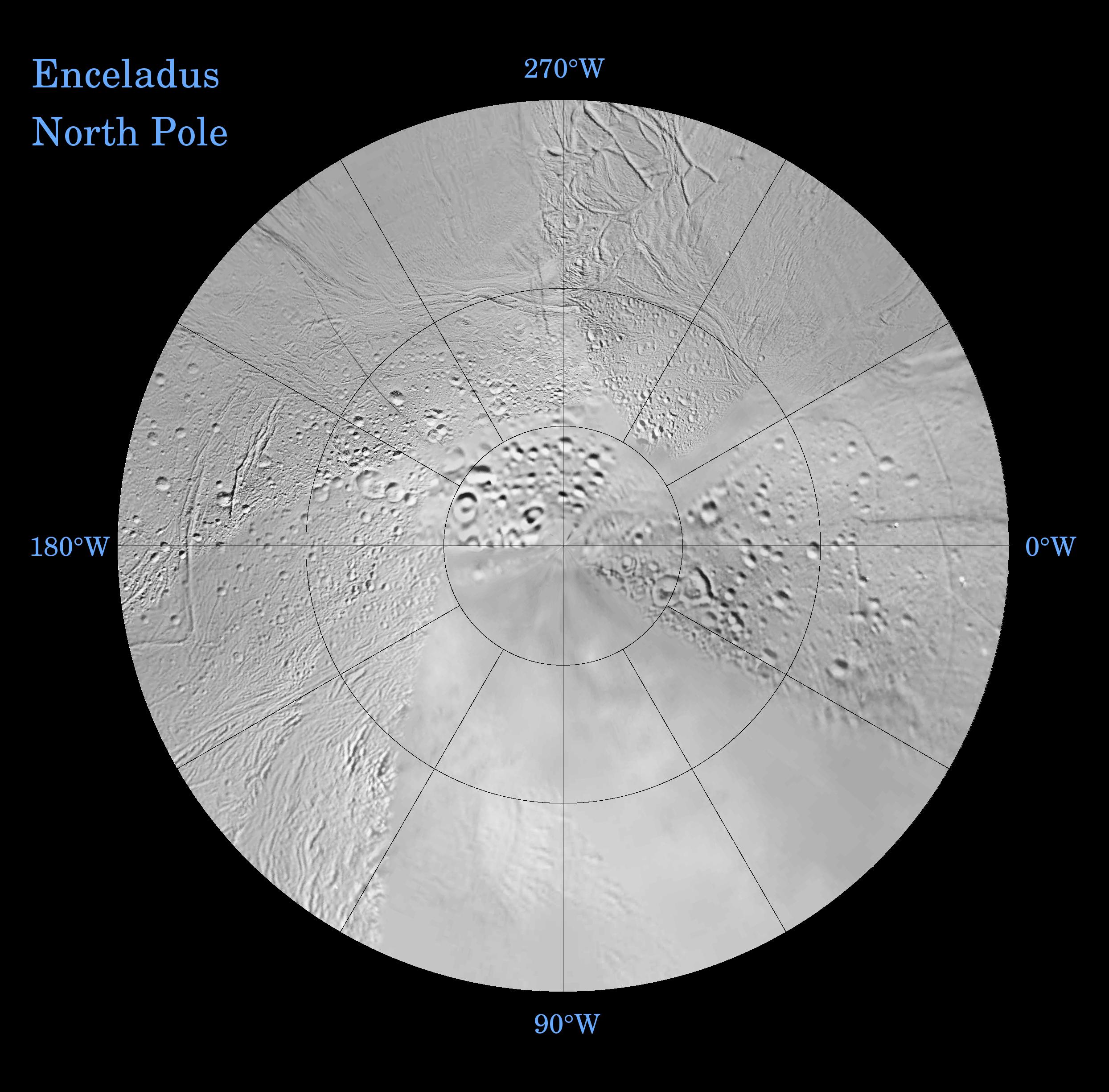
2005-08-30 | Enceladus |
Cassini-Huygens Voyager |
Imaging Science Subsystem |
2488x2448x3 |
|
|||||
|
|
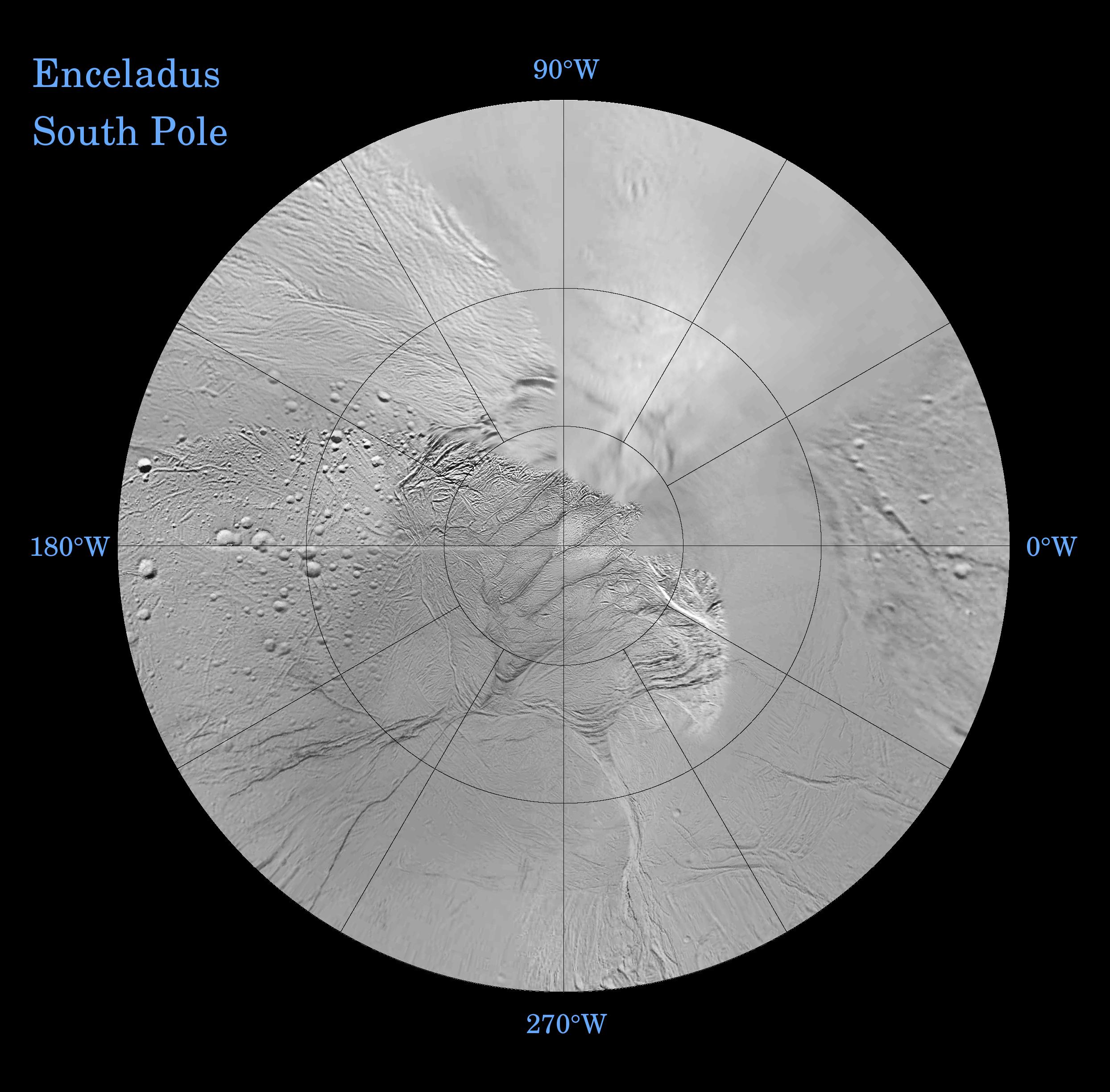
2005-08-30 | Enceladus |
Cassini-Huygens Voyager |
Imaging Science Subsystem |
2488x2448x3 |
|
|||||
|
|
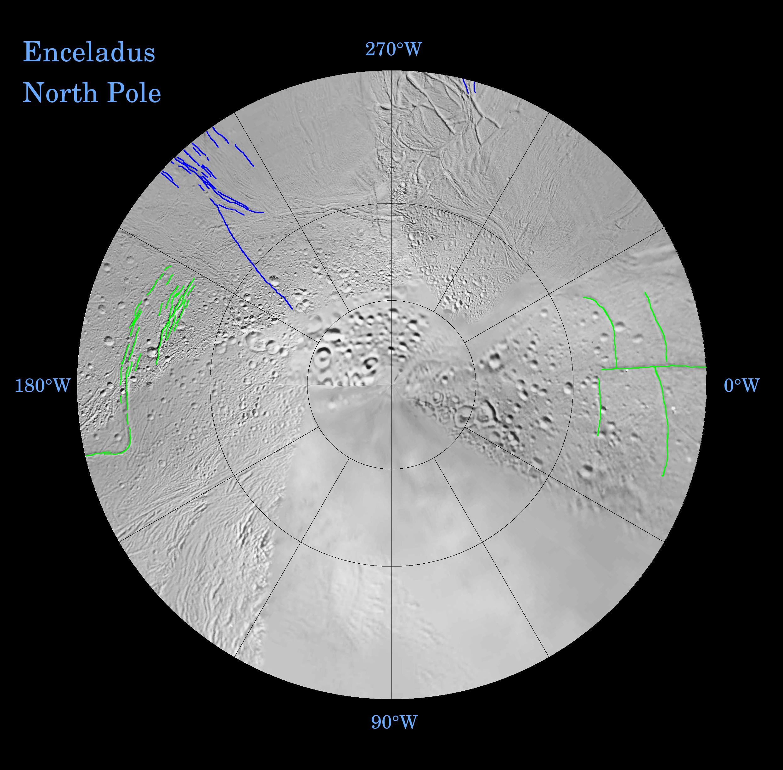
2005-08-30 | Enceladus |
Cassini-Huygens Voyager |
Imaging Science Subsystem |
2488x2448x3 |
|
|||||
|
|
2005-08-30 | Enceladus |
Cassini-Huygens Voyager |
Imaging Science Subsystem |
2488x2448x3 |
|
|||||
|
|
2009-11-11 | Enceladus |
Cassini-Huygens Voyager |
Imaging Science Subsystem |
1244x1244x3 |
|
|||||
|
|
2009-11-11 | Enceladus |
Cassini-Huygens Voyager |
Imaging Science Subsystem |
1244x1244x3 |
|
|||||
|
|
1998-06-04 | Enceladus |
Voyager |
VG ISS - Narrow Angle |
1004x1004x3 |
|
|||||
|
|
1998-12-05 | Enceladus |
Voyager |
VG ISS - Narrow Angle |
1000x1000x3 |
|
|||||
|
|
1999-03-23 | Enceladus |
Voyager |
VG ISS - Narrow Angle |
1000x1000x3 |
|
|||||
|
|
1999-02-23 | Enceladus |
Voyager |
VG ISS - Narrow Angle |
1000x1000x1 |
|
|||||
|
|
1999-04-11 | Enceladus |
Voyager |
VG ISS - Narrow Angle |
450x469x1 |
|
|||||

|
 |
|
|
 |
|
| 1-100 | 101-200 | 201-300 | 301-400 |
| Currently displaying images: 301 - 312 of 312 |