|
Your search criteria found 2593 images Target is Earth (and available satellites) |
| My List |
Addition Date | Target | Mission | Instrument |
Size
|

|
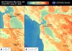
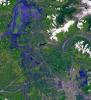
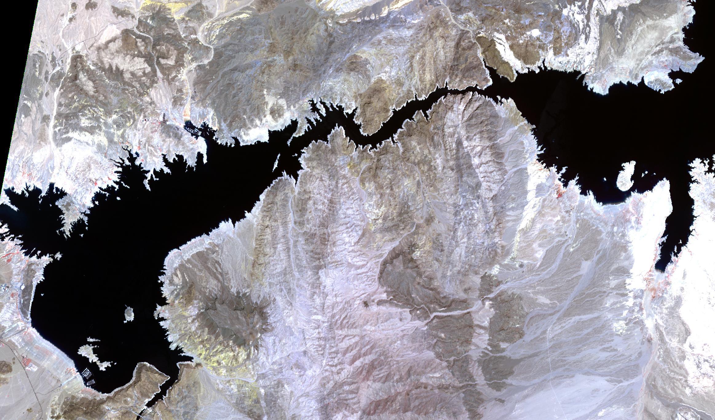
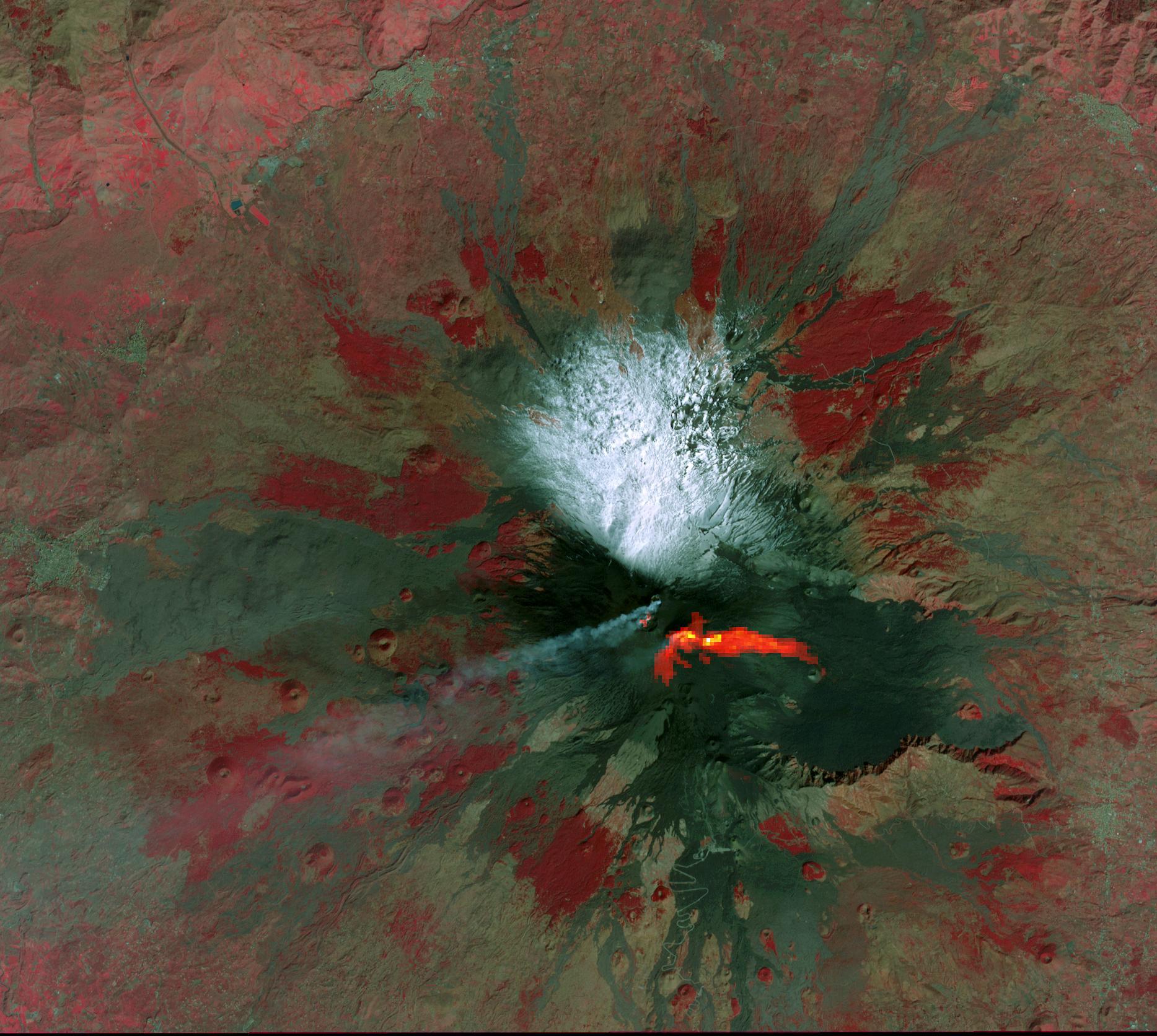
2022-07-28 | Earth |
Terra |
ASTER |
2533x1508x3 |
|
|||||
|
|
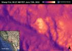
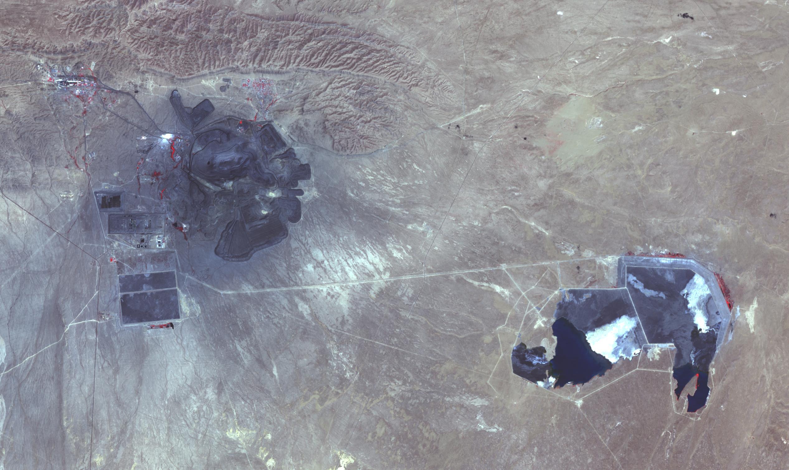
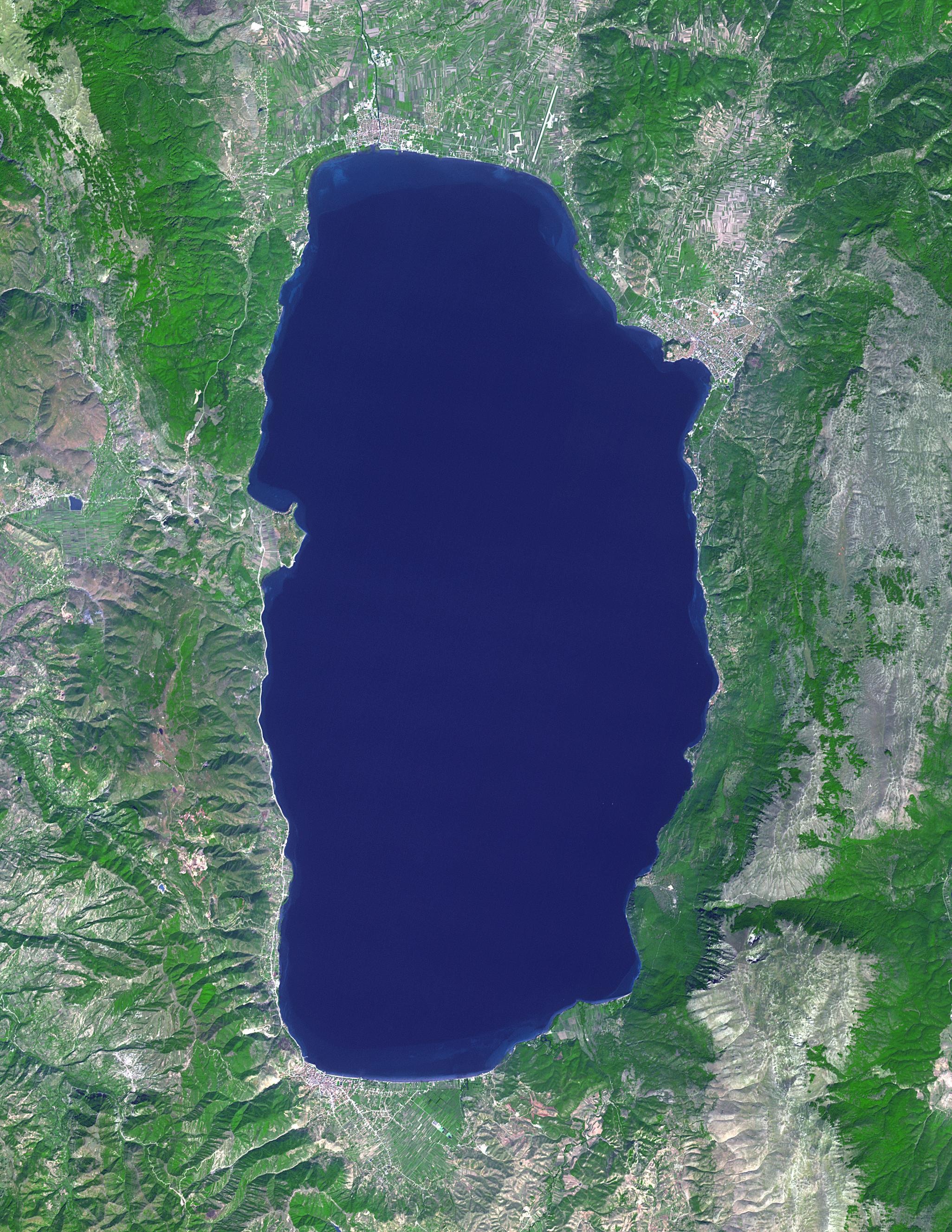
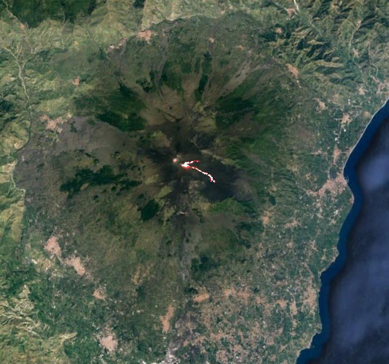
2022-07-26 | Earth |
Terra |
MISR |
3500x1029x3 |
|
|||||
|
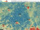
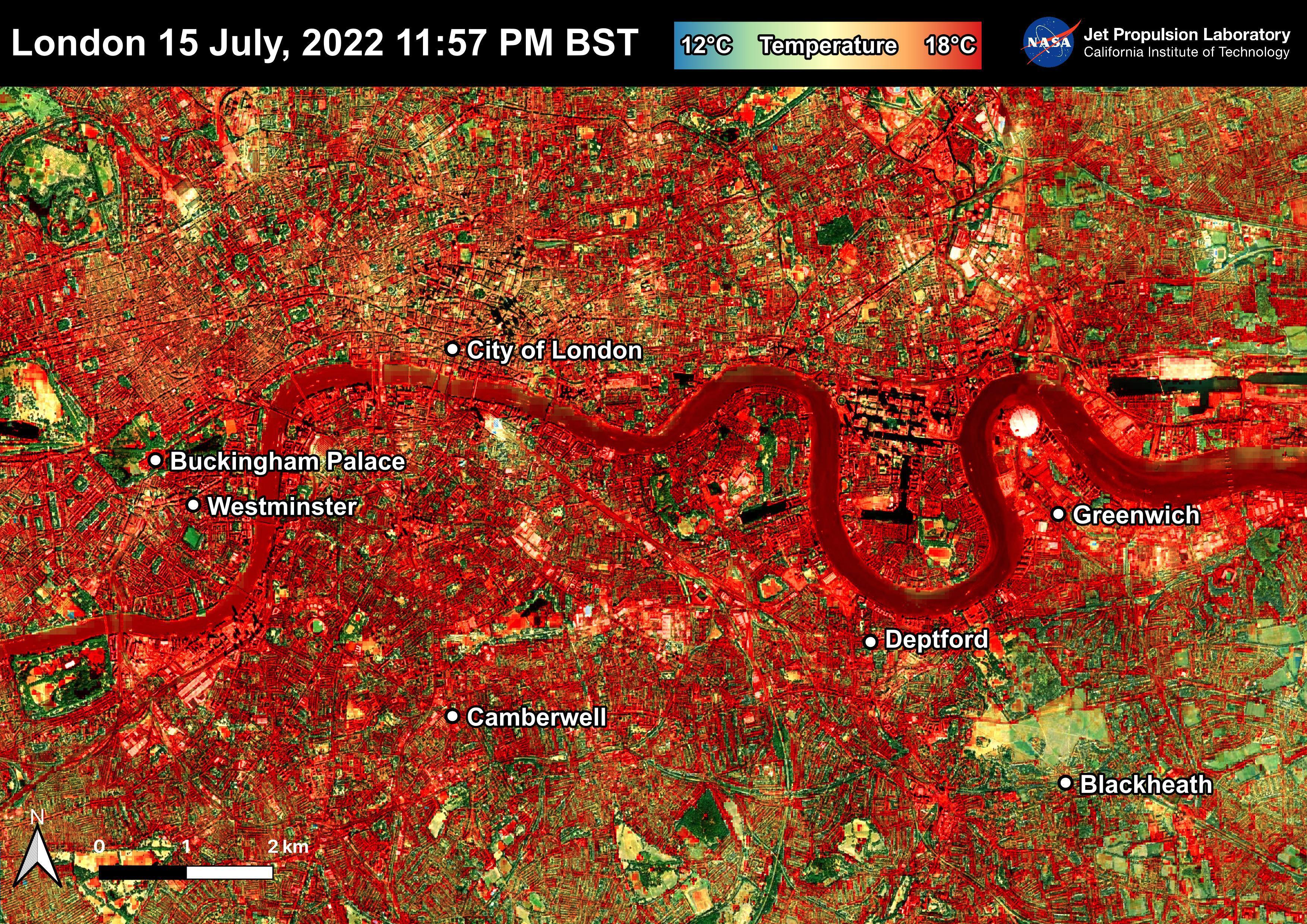
|
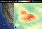
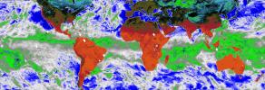
2022-07-22 | Earth |
ECOSTRESS |
3507x2480x3 | |
|
|||||
|
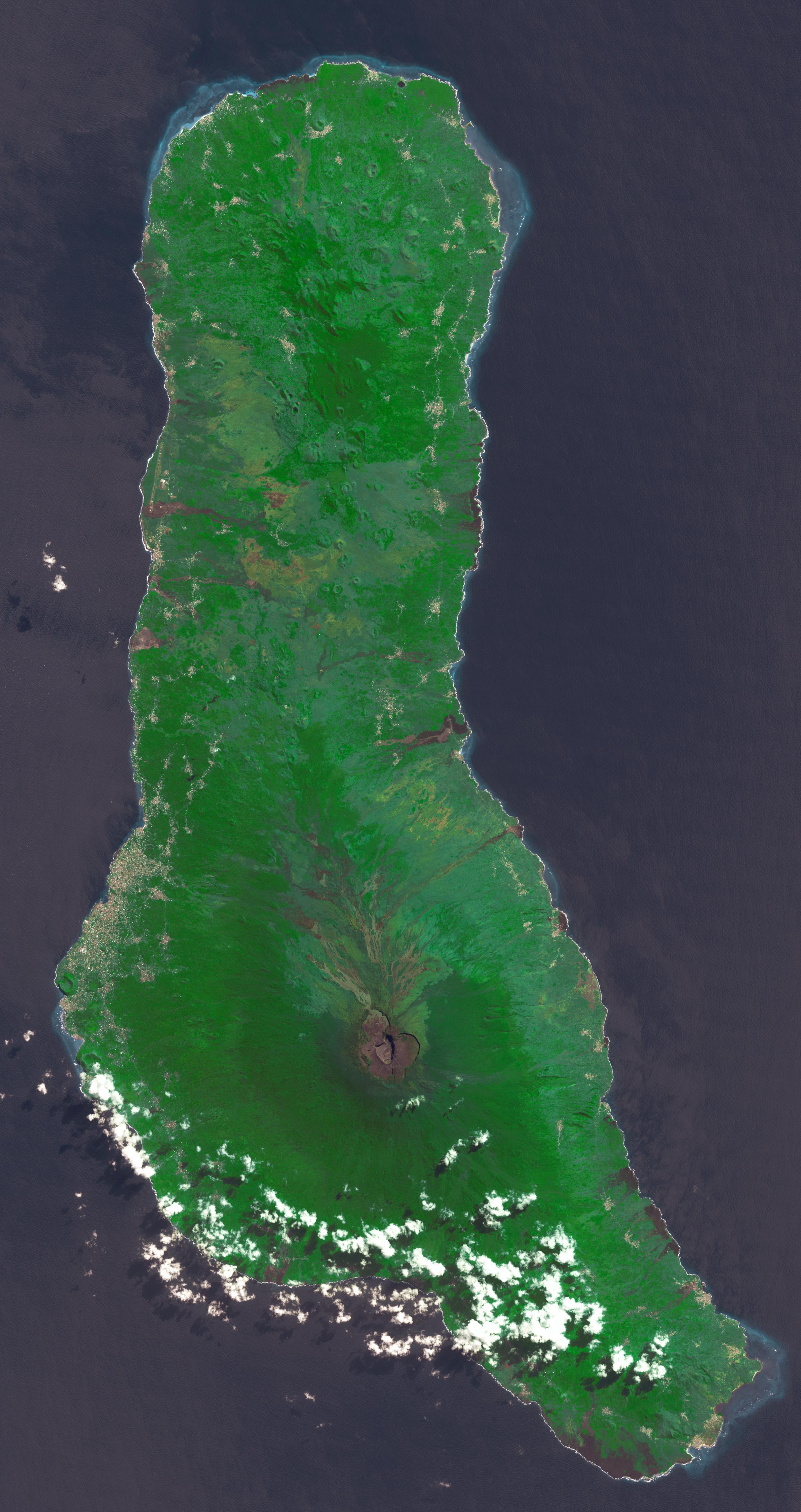
|
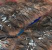
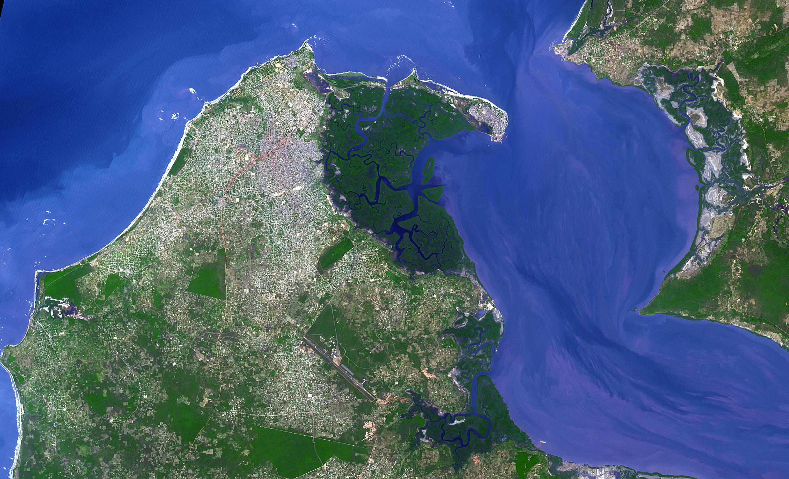
2022-07-21 | Earth |
Terra |
ASTER |
2382x4495x3 |

|
|||||
|
|
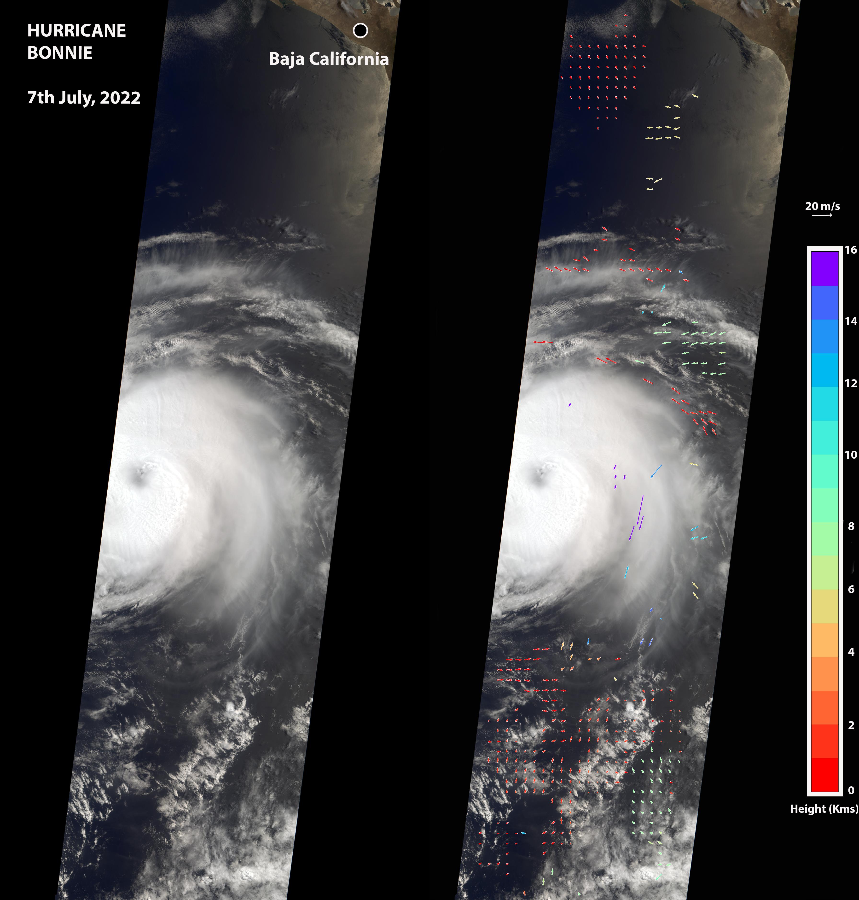
2022-07-08 | Earth |
Terra |
MISR |
3584x3754x3 |
|
|||||
|
|
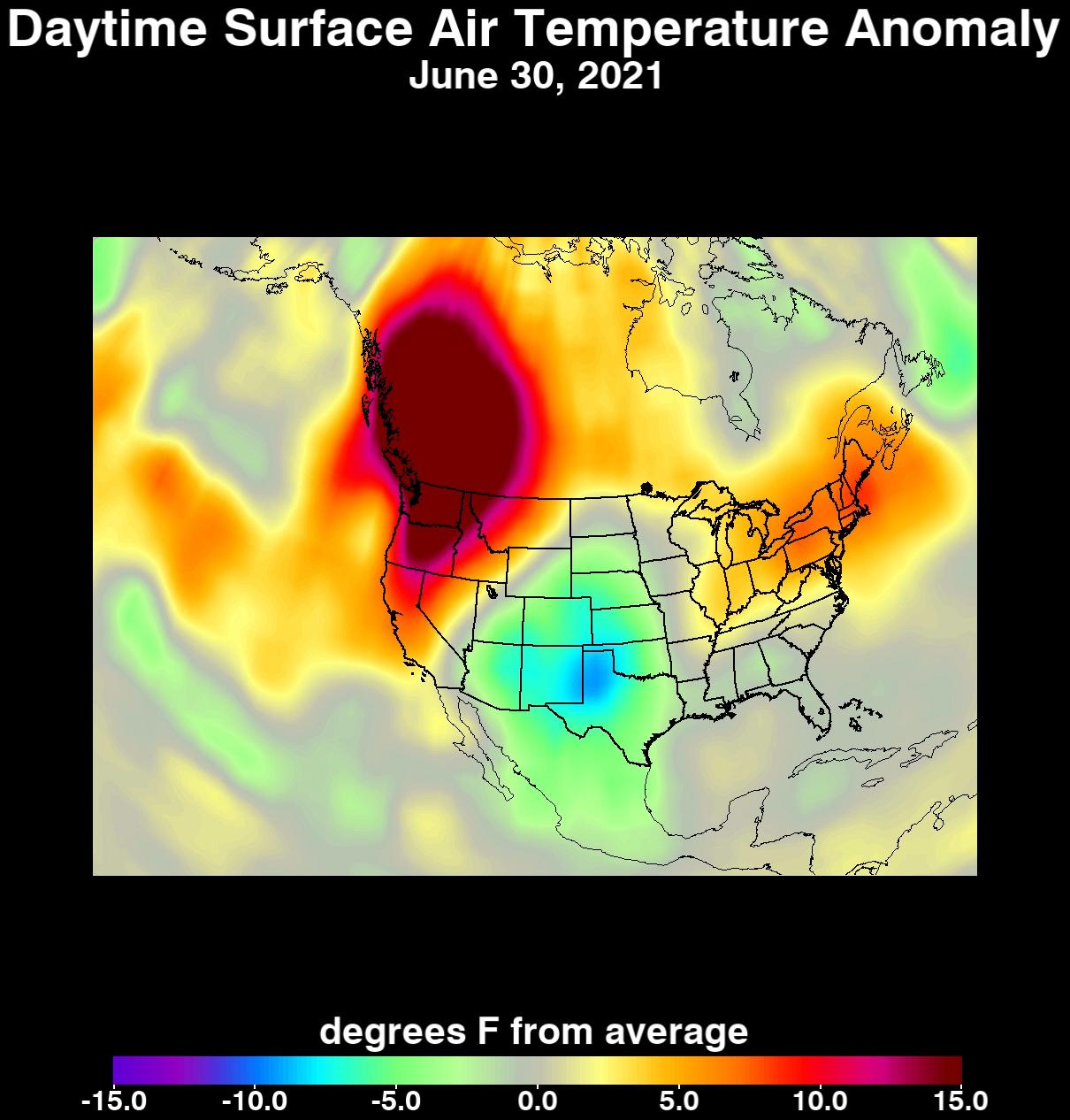
2022-06-30 | Earth |
ECOSTRESS |
3507x2480x3 | |
|
|||||
|
|
2022-06-30 | Earth |
ECOSTRESS |
3507x2480x3 | |
|
|||||
|
|
2022-06-30 | Earth |
ECOSTRESS |
3507x2480x3 | |
|
|||||
|
|
2022-06-27 | Earth |
Terra |
ASTER |
1101x1054x3 |
|
|||||
|
|
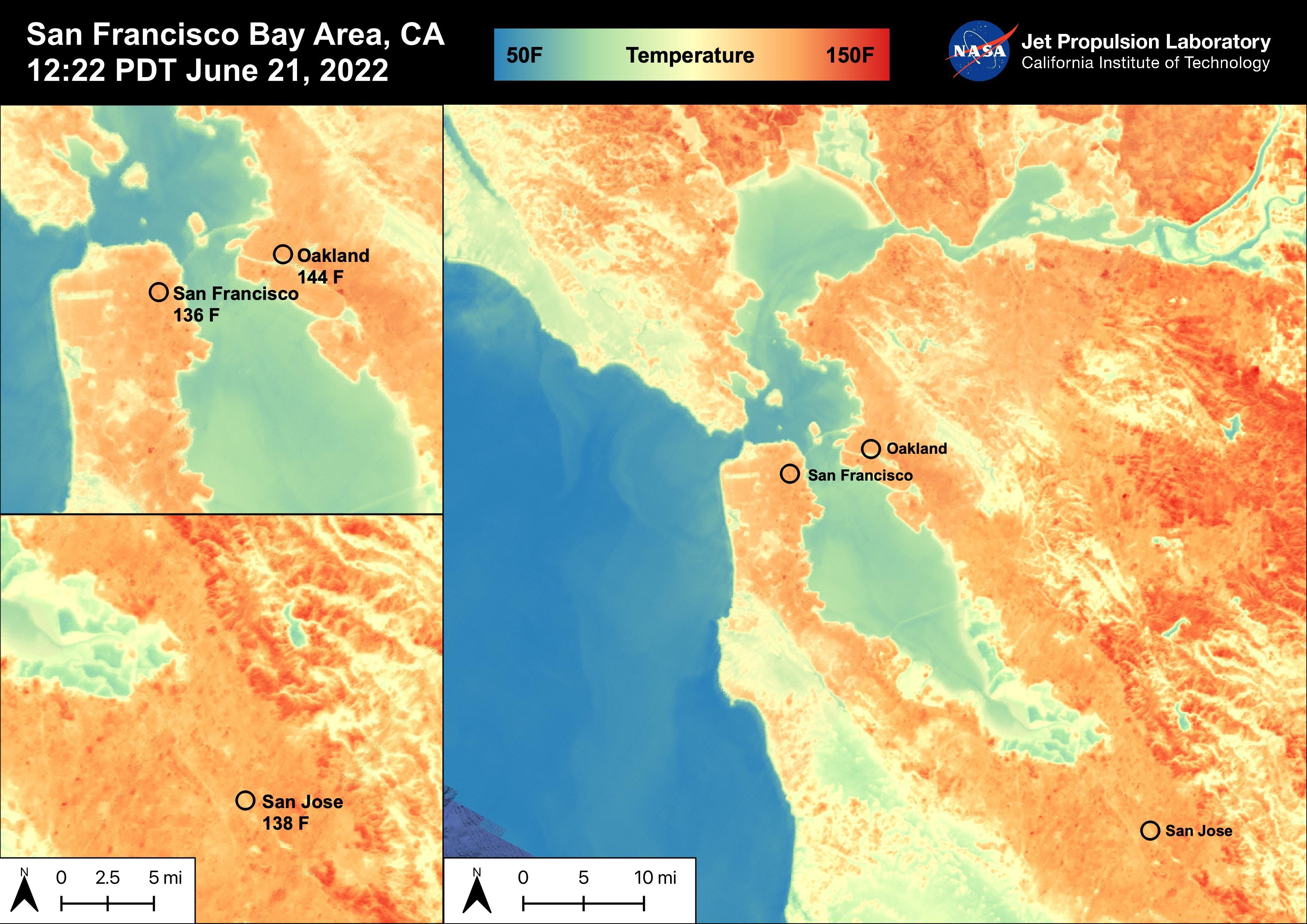
2022-06-22 | Earth |
ECOSTRESS |
3099x2201x3 | |
|
|||||
|
|
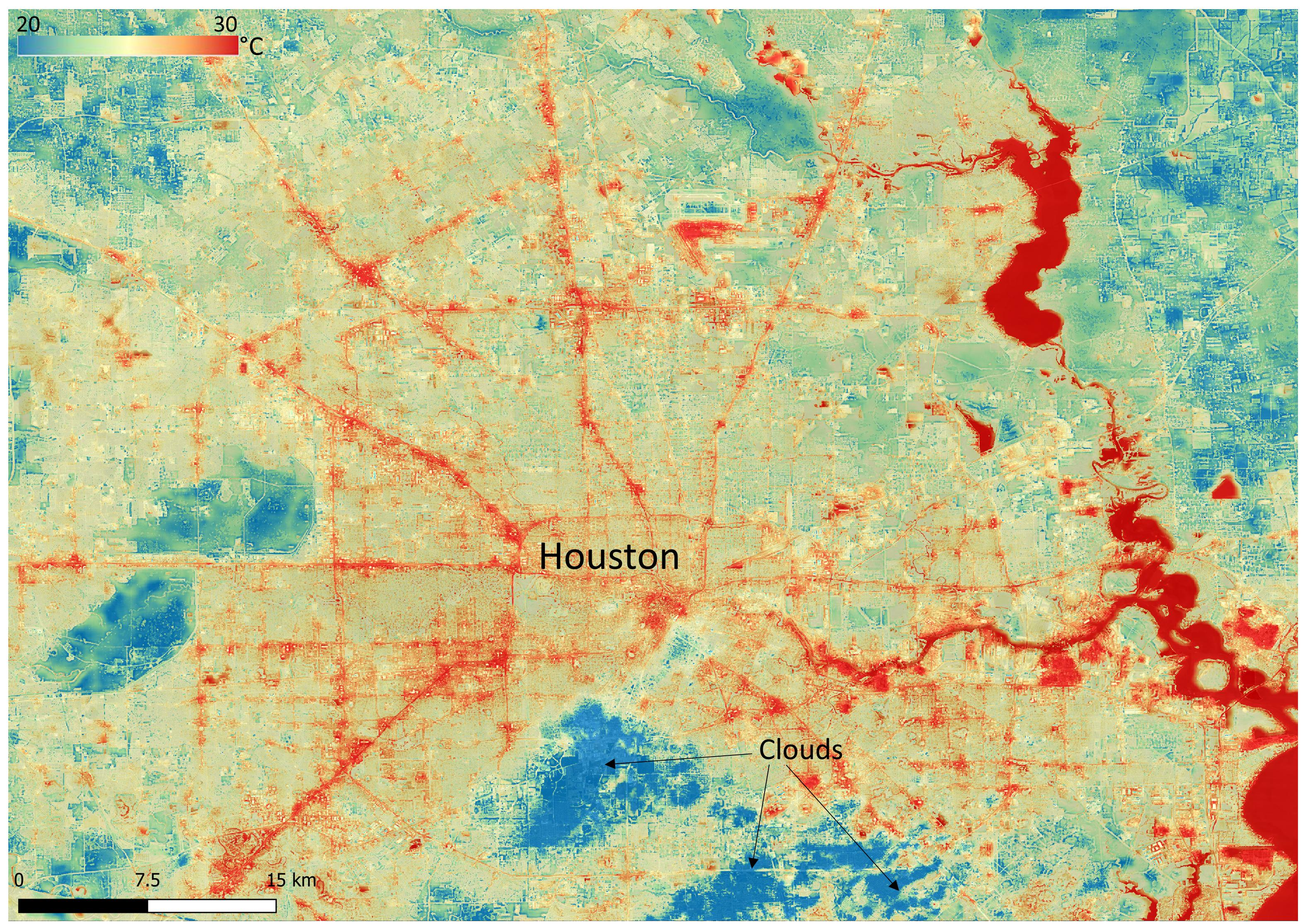
2022-06-22 | Earth |
ECOSTRESS |
3161x2230x3 | |
|
|||||
|
|
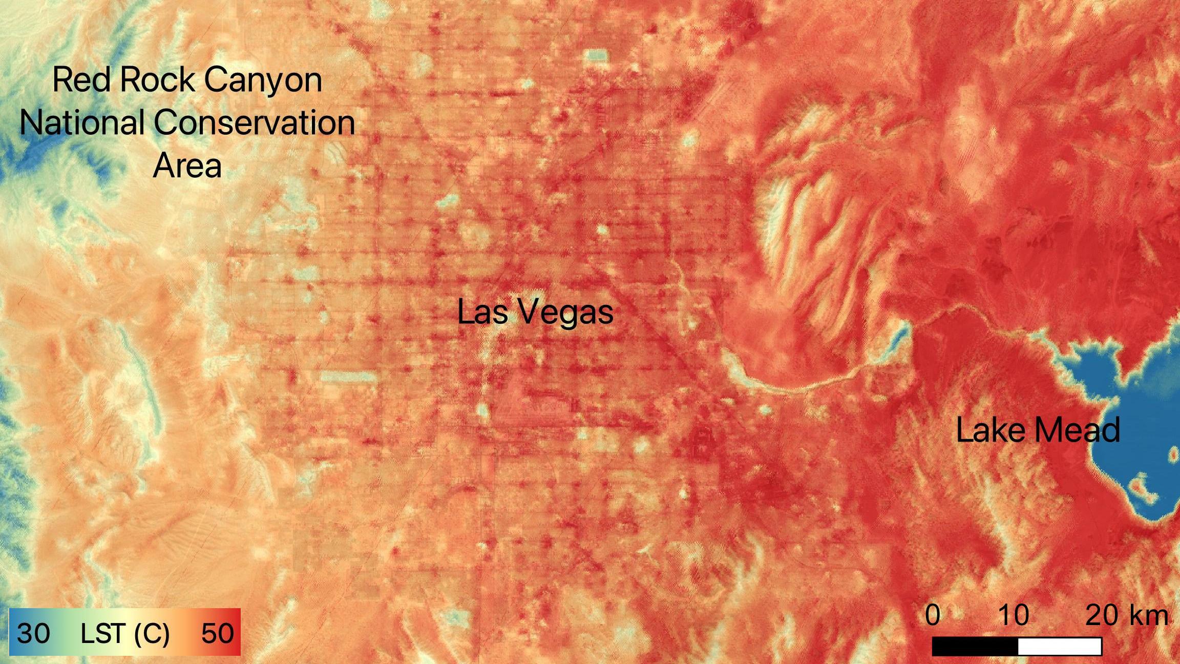
2022-06-15 | Earth |
ECOSTRESS |
2304x1296x3 | |

|
|||||
|
|
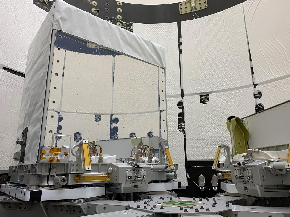
2022-06-01 | Earth |
Earth Surface Mineral Dust Source Investigation (EMIT) |
EMIT |
5568x3712x3 |

|
|||||
|
|
2022-05-26 | Earth |
Terra |
ASTER |
2326x1369x3 |
|
|||||
|
|
2022-05-17 | Earth |
Terra |
ASTER |
2051x2656x3 |
|
|||||
|
|
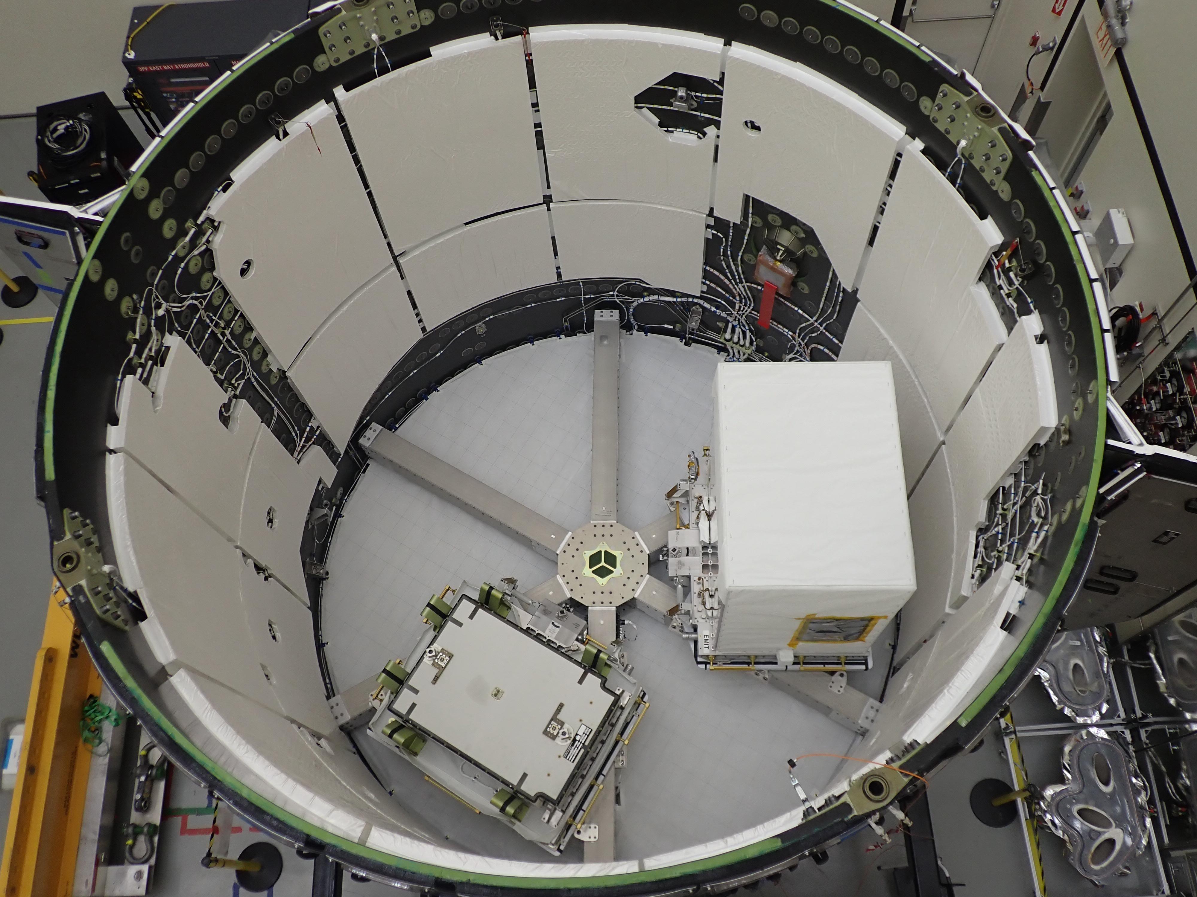
2022-05-12 | Earth |
Earth Surface Mineral Dust Source Investigation (EMIT) |
EMIT |
1230x922x3 |
|
|||||
|
|
2022-05-12 | Earth |
Earth Surface Mineral Dust Source Investigation (EMIT) |
EMIT |
4000x3000x3 |
|
|||||
|
|
2022-05-12 | Earth |
ECOSTRESS |
3376x2477x3 | |
|
|||||
|
|
2022-05-02 | Earth |
Earth Surface Mineral Dust Source Investigation (EMIT) |
EMIT |
7955x5303x3 |
|
|||||
|
|
2022-05-02 | Earth |
Earth Surface Mineral Dust Source Investigation (EMIT) |
EMIT |
2522x1199x3 |

|
|||||
|
|
2022-04-19 | Earth |
Terra |
ASTER |
1015x977x3 |

|
|||||
|
|
2022-04-18 | Earth |
Surface Biology and Geology High-Frequency Time Series (SHIFT) |
4810x2774x3 | |

|
|||||
|
|
2022-04-18 | Earth |
Surface Biology and Geology High-Frequency Time Series (SHIFT) |
4000x3000x3 | |

|
|||||
|
|
2022-04-05 | Earth |
Terra |
ASTER |
2500x1700x3 |
|
|||||
|
|
2022-03-23 | Earth |
Terra |
ASTER |
2585x2251x3 |
|
|||||
|
|
2022-03-08 | Earth |
Terra |
ASTER |
5856x5207x3 |
|
|||||
|
|
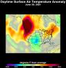
2022-03-04 | Earth |
Aqua |
AIRS |
1400x1000x3 |
|
|||||
|
|
2022-02-22 | Earth |
Terra |
ASTER |
2646x2910x3 |
|
|||||
|
|
2022-02-08 | Earth |
COWVR |
Compact Ocean Wind Vector Radiometer (COWVR) |
8817x3019x3 |
|
|||||
|
|
2022-02-04 | Earth |
Terra |
ASTER |
3365x3681x3 |

|
|||||
|
|
2022-02-01 | Moon |
Cold Operable Lunar Deployable Arm (COLDArm) |
4032x3024x3 | |
|
|||||
|
|
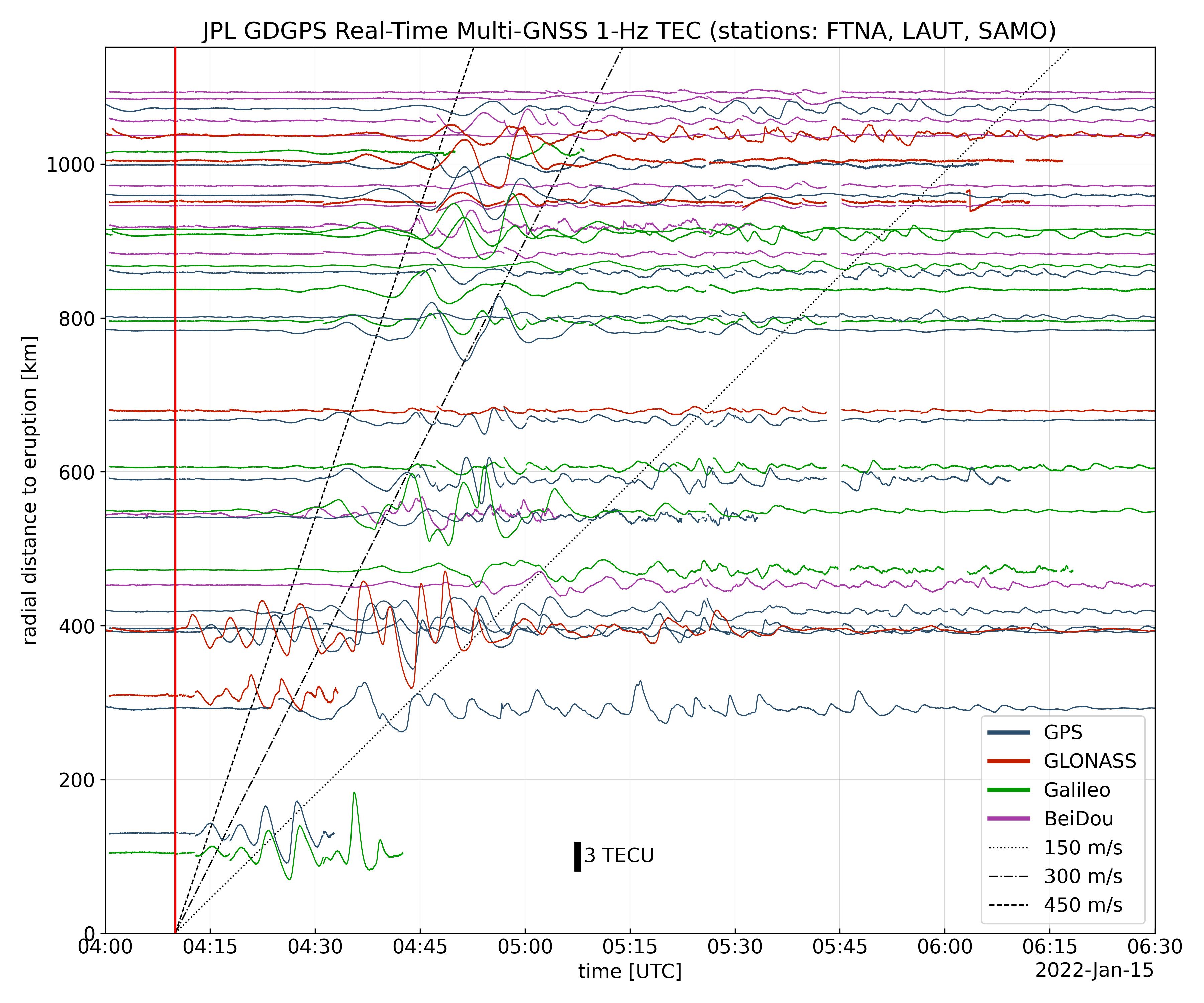
2022-01-27 | Earth |
Global Differential Global Positioning System (GDGPS) |
3600x3000x3 | |
|
|||||
|
|
2022-01-26 | Earth |
OMG |
3024x2697x3 | |

|
|||||
|
|
2022-01-26 | Earth |
OMG |
4032x2471x3 | |
|
|||||
|
|
2022-01-21 | Earth |
Terra |
ASTER |
1688x1119x3 |
|
|||||
|
|
2022-01-05 | Earth |
Terra |
ASTER |
1278x635x3 |
|
|||||
|
|
2022-01-04 | Earth |
Aqua |
AIRS |
1664x1740x3 |
|
|||||
|
|
2022-01-04 | Earth |
Terra |
ASTER |
710x928x3 |
|
|||||
|
|
2021-12-17 | Earth |
Landsat |
1200x800x3 | |

|
|||||
|
|
2021-12-13 | Earth |
UAVSAR |
3024x4032x3 | |

|
|||||
|
|
2021-12-10 | Earth |
Terra |
ASTER |
1895x1216x3 |

|
|||||
|
|
2021-11-23 | Earth |
Terra |
ASTER |
2083x1542x3 |

|
|||||
|
|
2021-11-08 | Earth |
Terra |
ASTER |
2420x2809x3 |
|
|||||
|
|
2021-10-27 | Earth |
ECOSTRESS |
3507x2480x3 | |
|
|||||
|
|
2021-10-21 | Earth |
Terra |
ASTER |
975x1043x3 |
|
|||||
|
|
2021-10-14 | Earth |
Terra |
ASTER |
1702x1525x3 |
|
|||||
|
|
2021-10-13 | Earth |
UAVSAR |
4032x3024x3 | |

|
|||||
|
|
2021-10-13 | Earth |
UAVSAR |
3300x2550x3 | |
|
|||||
|
|
2021-10-11 | Earth |
Terra |
ASTER |
1843x2016x3 |
|
|||||
|
|
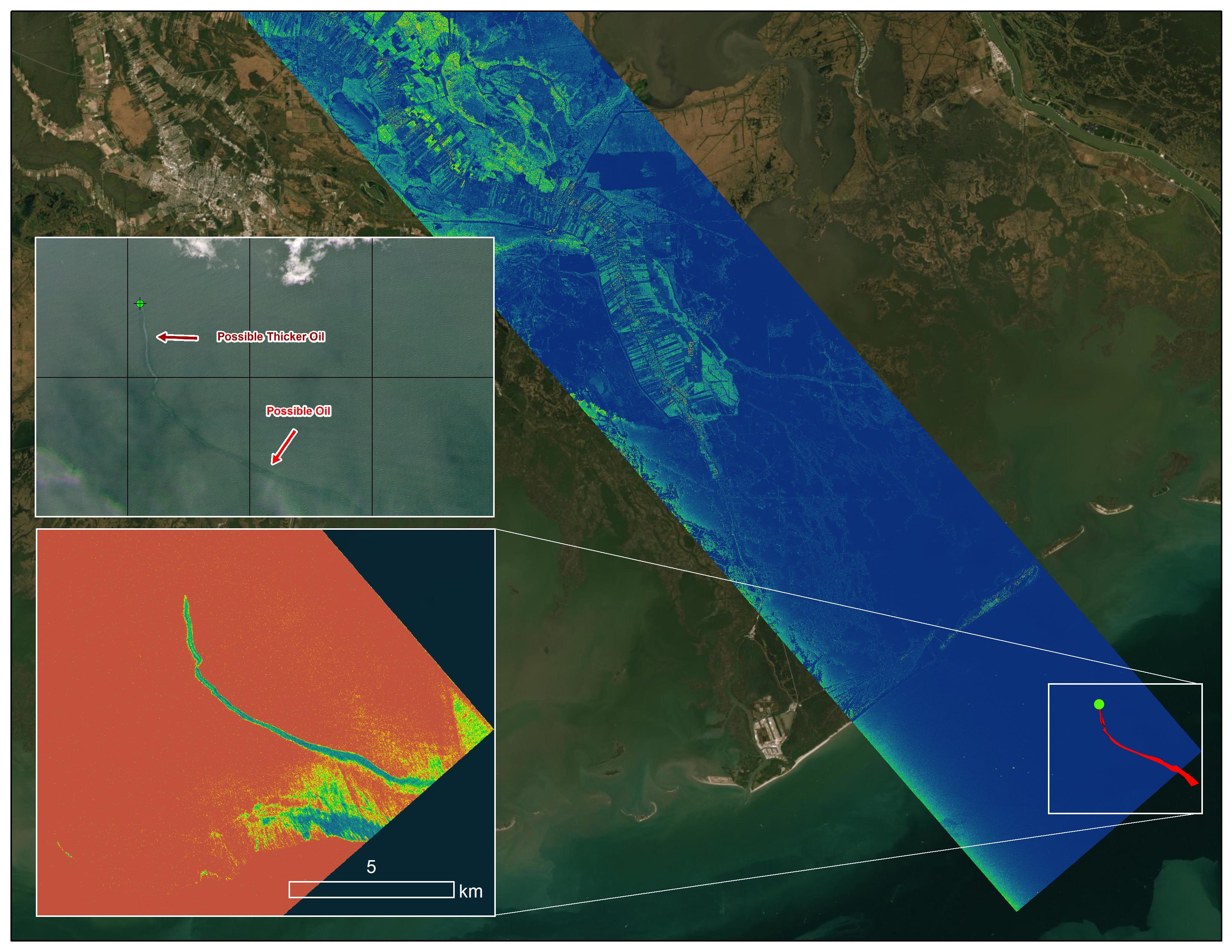
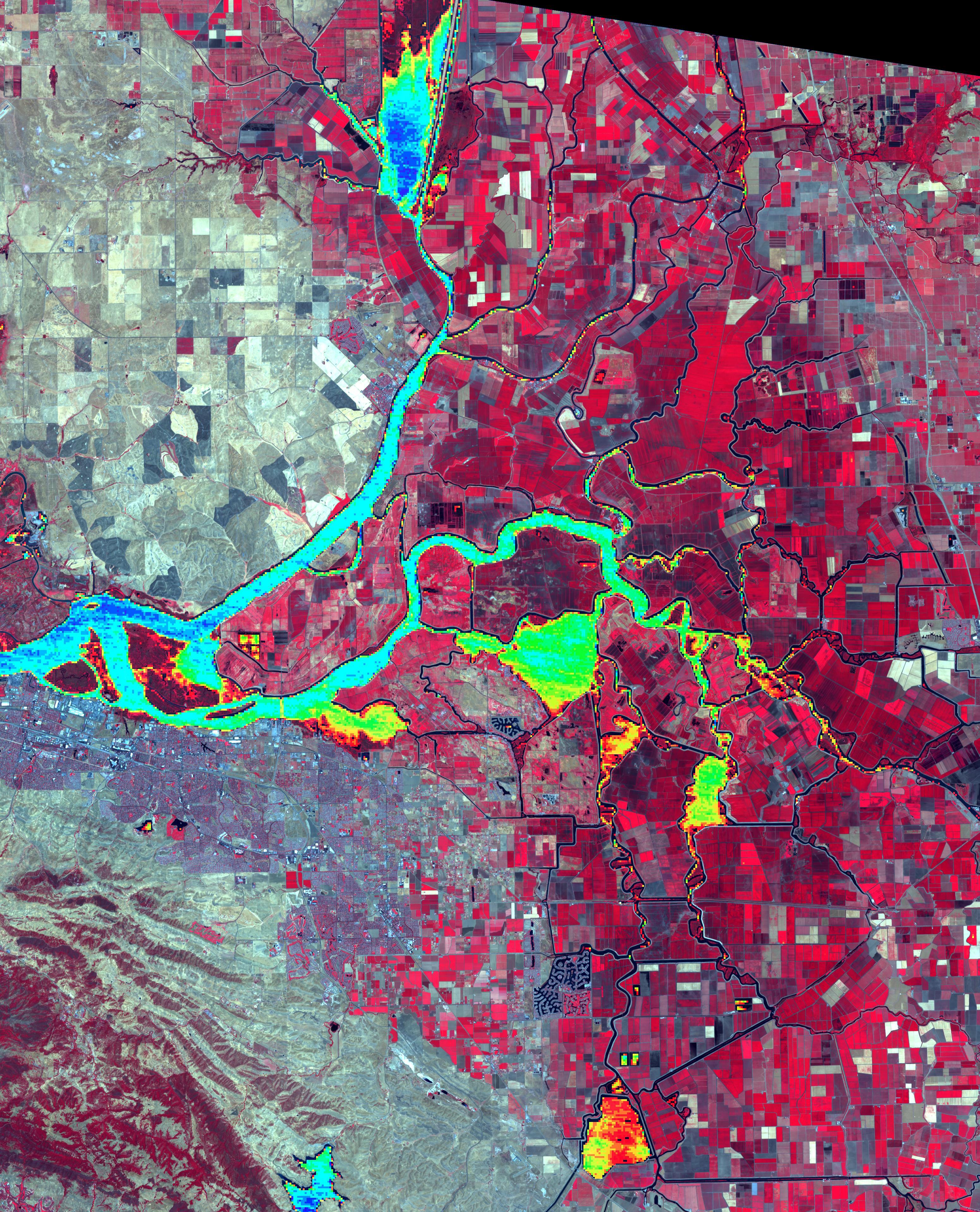
2021-10-07 | Earth |
ECOSTRESS |
3507x2480x3 | |
|
|||||
|
|
2021-10-07 | Earth |
ECOSTRESS |
3507x2480x3 | |
|
|||||
|
|
2021-09-23 | Earth |
Terra |
ASTER |
1120x866x3 |
|
|||||
|
|
2021-09-20 | Earth |
Delta-X |
UAVSAR |
3300x2550x3 |
|
|||||
|
|
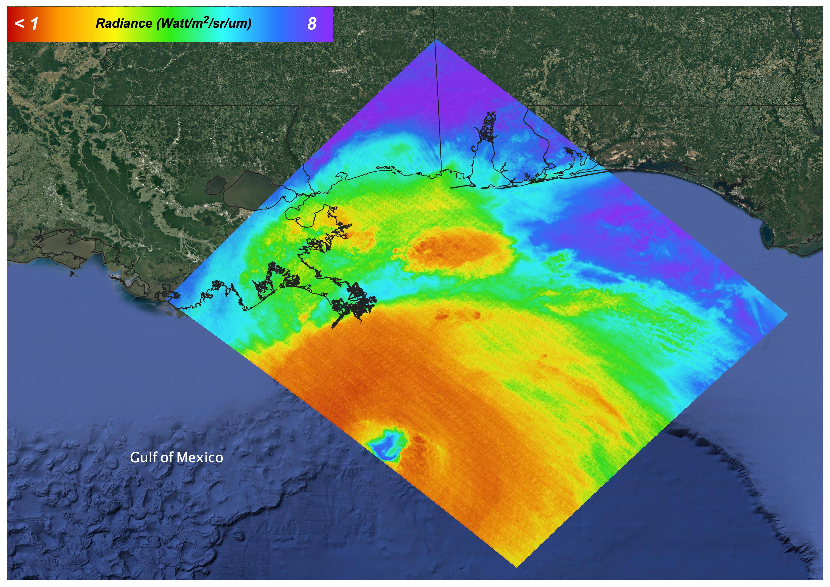
2021-09-16 | Earth |
Aqua |
AIRS |
900x695x3 |
|
|||||
|
|
2021-09-03 | Earth |
Terra |
ASTER |
852x868x3 |
|
|||||
|
|
2021-08-31 | Earth |
Aqua |
AIRS |
900x695x3 |
|
|||||
|
|
2021-08-30 | Earth |
Terra |
ASTER |
1600x1800x3 |
|
|||||
|
|
2021-08-27 | Earth |
Terra |
ASTER |
1353x1049x3 |
|
|||||
|
|
2021-08-24 | Earth |
Terra |
MISR |
4608x2817x3 |
|
|||||
|
|
2021-08-18 | Earth |
Terra |
ASTER |
1707x2151x3 |
|
|||||
|
|
2021-08-17 | Earth |
ARIA |
2642x2072x3 | |
|
|||||
|
|
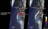
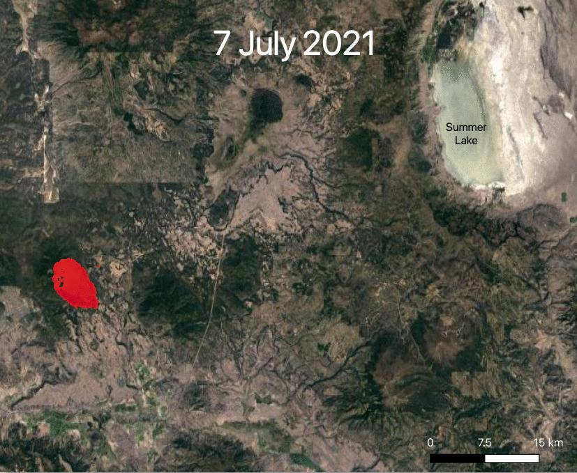
2021-07-29 | Earth |
ECOSTRESS |
731x573x3 | |
|
|||||
|
|
2021-07-29 | Earth |
ECOSTRESS |
827x679x3 | |
|
|||||
|
|
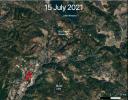
2021-07-16 | Earth |
Terra |
ASTER |
3909x3210x3 |
|
|||||
|
|
2021-07-15 | Earth |
ECOSTRESS |
1984x2041x3 | |
|
|||||
|
|
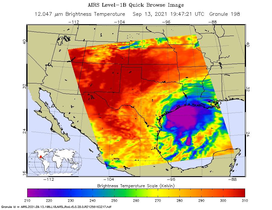
2021-07-15 | Earth |
Aqua |
AIRS |
1210x1266x3 |
|
|||||
|
|
2021-07-08 | Earth |
Aqua |
AIRS |
1210x1266x3 |
|
|||||
|
|
2021-07-06 | Earth |
Terra |
ASTER |
2460x2205x3 |
|
|||||
|
|
2021-06-22 | Earth |
Terra |
ASTER |
2000x1700x3 |
|
|||||
|
|
2021-06-21 | Earth |
Sentinel-6/Jason-CS |
1536x1024x3 | |
|
|||||
|
|
2021-06-08 | Earth |
Terra |
ASTER |
3101x3836x3 |
|
|||||
|
|
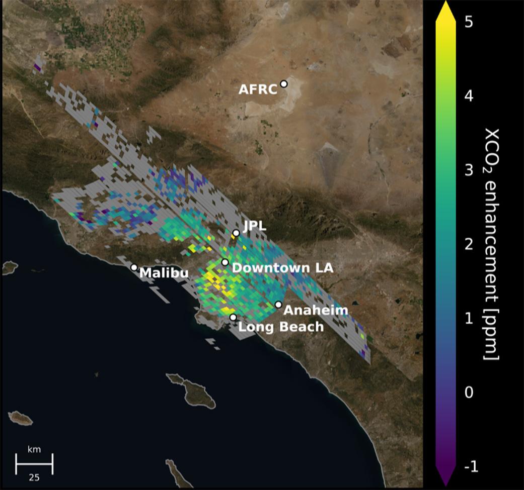
2021-06-07 | Earth |
Orbiting Carbon Observatory (OCO-3) |
OCO-3 |
1041x975x3 |

|
|||||
|
|
2021-05-24 | Earth |
Terra |
ASTER |
3155x2224x3 |

|
|||||
|
|
2021-05-10 | Earth |
Terra |
ASTER |
1561x1507x3 |
|
|||||
|
|
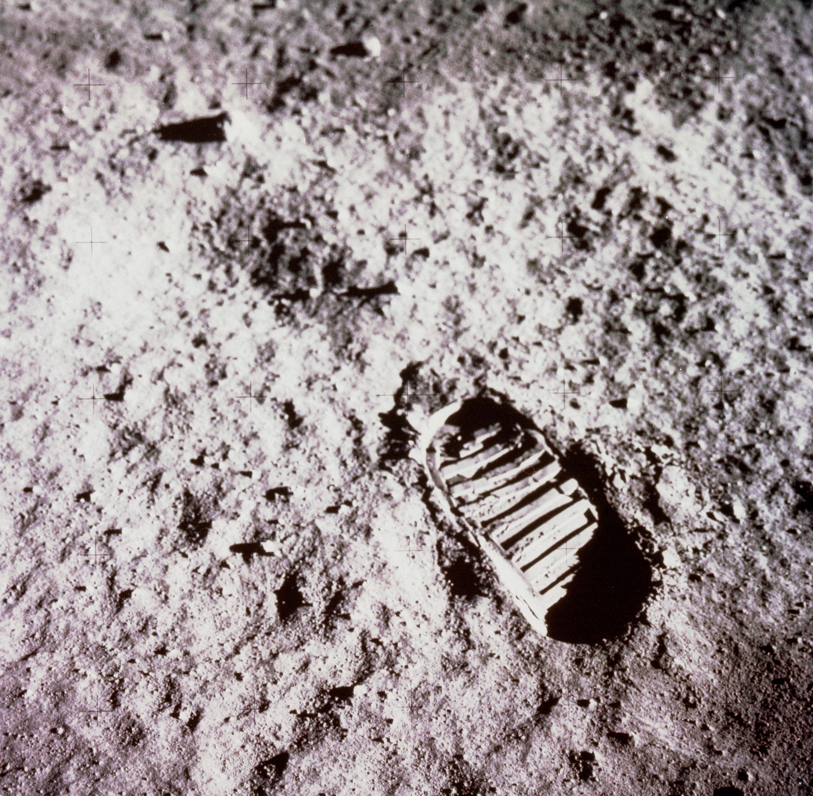
2021-04-21 | Moon |
Apollo |
3294x3226x3 | |
|
|||||
|
|
2021-04-20 | Earth |
Terra |
ASTER |
1703x3039x3 |
|
|||||
|
|
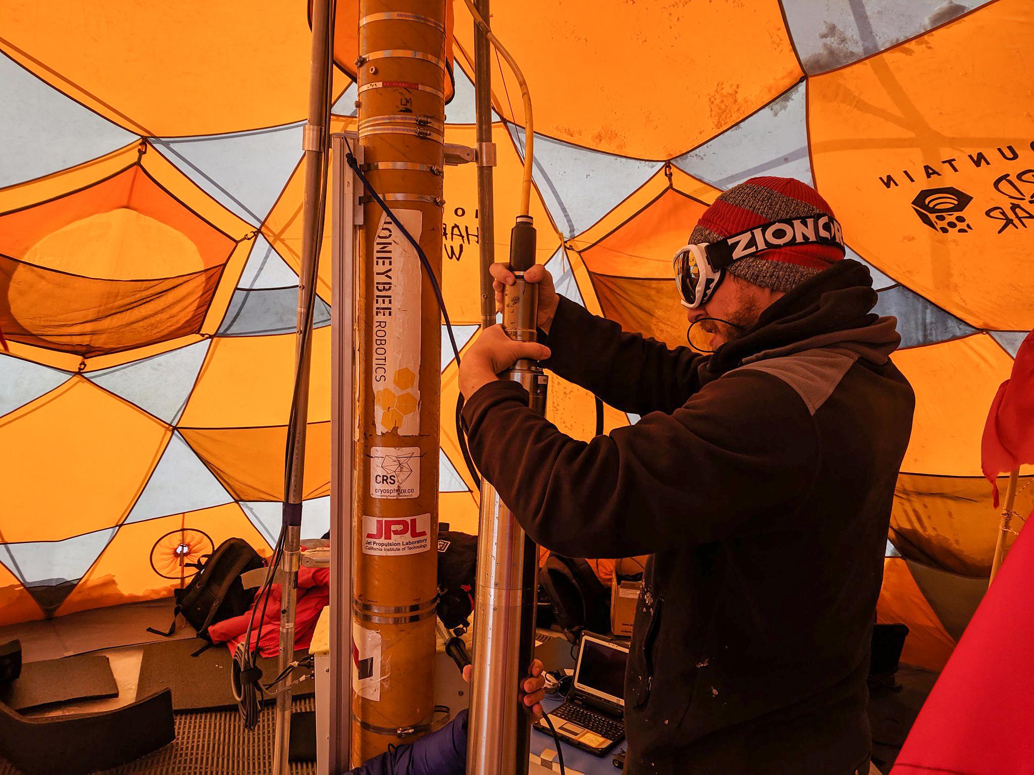
2021-04-07 | Earth |
WATSON |
2244x4128x3 | |
|
|||||
|
|
2021-04-07 | Earth |
WATSON |
2048x1536x3 | |

|
|||||
|
|
2021-04-07 | Earth |
WATSON |
2048x1536x3 | |

|
|||||
|
|
2021-04-06 | Earth |
Terra |
ASTER |
1421x1734x3 |

|
|||||
|
|
2021-03-25 | Earth |
Terra |
ASTER |
3369x2879x3 |
|
|||||
|
|
2021-03-05 | Earth |
Terra |
ASTER |
438x332x1 |

|
|||||
|
|
2021-02-26 | Earth |
Terra |
ASTER |
1867x1672x3 |
|
|||||
|
|
2021-02-23 | Earth |
Terra |
ASTER |
781x732x3 |
|
|||||
|
|
2021-02-17 | Earth |
Mars 2020 Project |
6000x4000x3 | |
|
|||||
|
|
2021-02-09 | Earth |
Terra |
ASTER |
2727x1656x3 |

|
|||||
|
|
2021-01-27 | Earth | 1024x768x3 | ||

|
|||||
|
|
2021-01-27 | Earth | 1024x768x3 | ||

|
|||||
|
|
2021-01-26 | Earth |
Terra |
ASTER |
1240x1076x3 |
|
|||||
|
|
2021-01-25 | Earth |
OMG |
3792x2846x3 | |
|
|||||
|
|
2021-01-22 | Earth |
Terra |
ASTER |
756x611x3 |
|
|||||
|
|
2021-01-04 | Earth |
Terra |
ASTER |
1580x1209x3 |

|
|||||
|
|
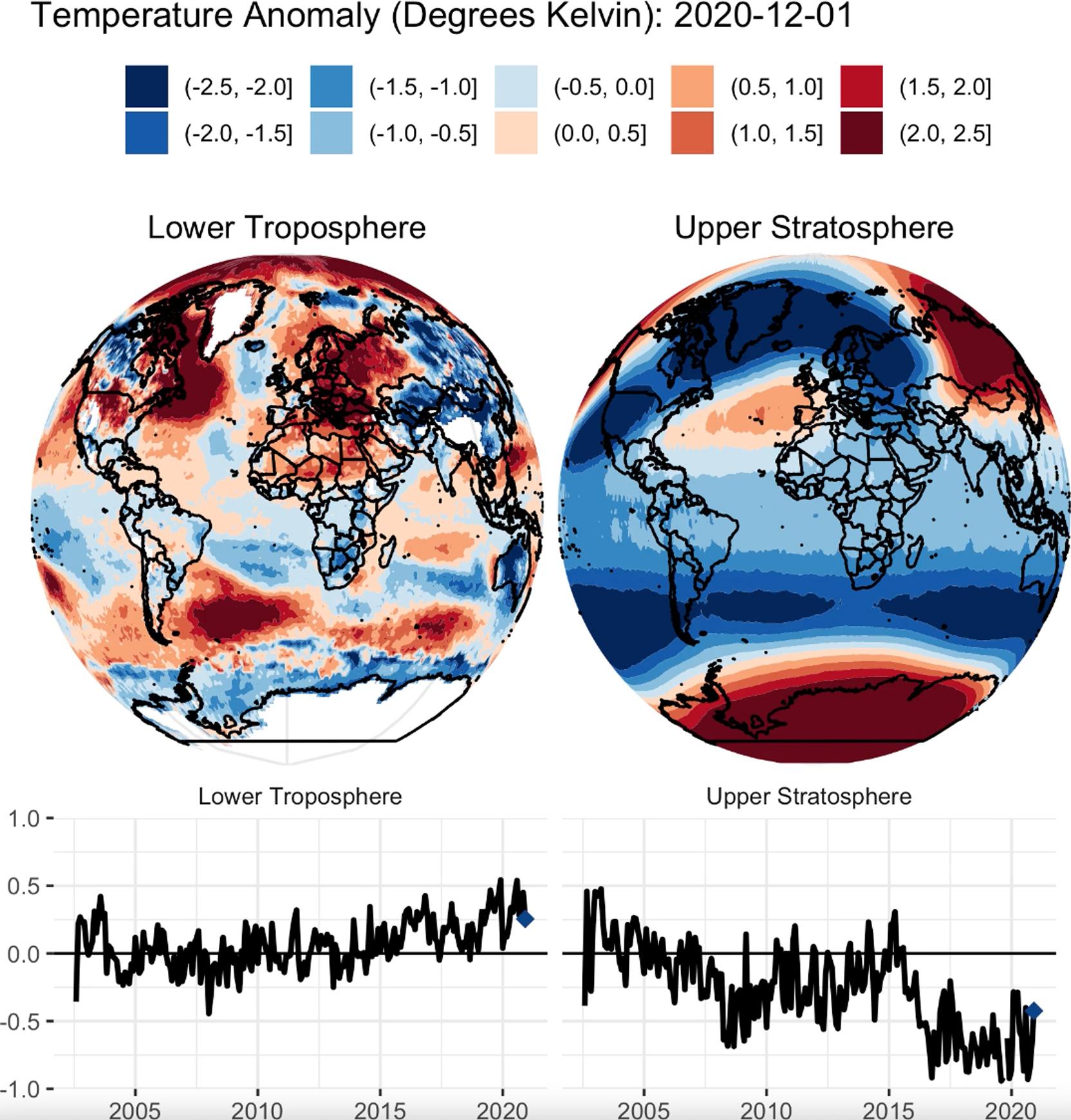
2020-12-16 | Earth |
Terra |
ASTER |
803x905x3 |

|
|||||
|
|
2020-12-10 | Earth |
Sentinel-6/Jason-CS |
1216x900x3 | |
|
|||||
|
|
2020-12-10 | Earth |
Sentinel-6/Jason-CS |
2600x1849x3 | |
|
|||||
|
|
2020-12-07 | Earth |
Terra |
ASTER |
3600x2000x3 |
|
|||||
|
|
2020-12-07 | Earth |
Terra |
ASTER |
1159x1936x3 |

|
|||||
|
|
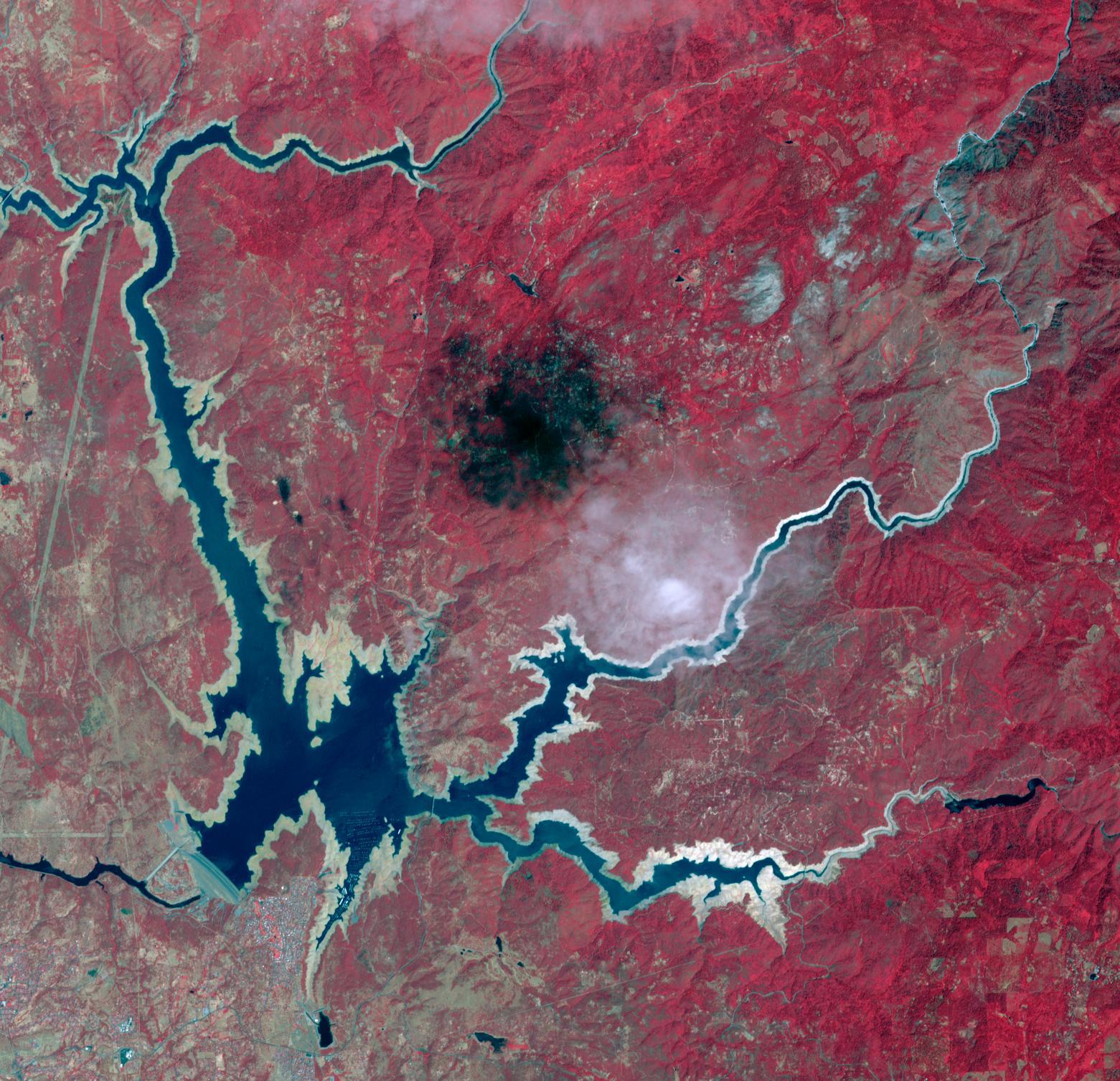
2020-11-10 | Earth |
Terra |
ASTER |
2134x2863x3 |
|
|||||
|
|
2020-10-28 | Earth |
Terra |
ASTER |
1063x712x3 |

|
|||||
|
|
2020-10-28 | Earth |
ECOSTRESS |
1695x1883x3 | |

|
|||||

|
 |
 |
 |
|
|
|
|
|
|
|

|
| 1-100 | 101-200 | 201-300 | 301-400 | 401-500 | 501-600 | 601-700 | 701-800 | 801-900 | 901-1000 |
| Currently displaying images: 101 - 200 of 2593 |