|
Your search criteria found 2593 images Target is Earth (and available satellites) |
| My List |
Addition Date | Target | Mission | Instrument |
Size
|

|
2003-07-01 | Earth |
Terra |
ASTER |
2748x3156x3 |

|
|||||
|
|
2003-07-03 | Earth |
Landsat Shuttle Radar Topography Mission (SRTM) |
C-Band Interferometric Radar |
1025x577x3 |

|
|||||
|
|
2003-07-03 | Earth |
Landsat Shuttle Radar Topography Mission (SRTM) |
C-Band Interferometric Radar |
2805x1705x3 |
|
|||||
|
|
2003-07-14 | Earth |
Jason-1 |
Altimeter |
900x900x3 |

|
|||||
|
|
2003-07-16 | Earth |
Terra |
MISR |
1174x970x3 |

|
|||||
|
|
2003-07-21 | Earth |
GRACE |
K-Band Ranging System |
2037x1645x3 |
|
|||||
|
|
2003-07-25 | Earth |
Shuttle Radar Topography Mission (SRTM) |
C-Band Interferometric Radar |
8688x8296x3 |
|
|||||
|
|
2003-08-13 | Earth |
Terra |
MISR |
1798x920x3 |
|
|||||
|
|
2003-08-21 | Earth |
Shuttle Radar Topography Mission (SRTM) |
C-Band Interferometric Radar |
14850x8000x3 |

|
|||||
|
|
2003-08-21 | Earth |
Shuttle Radar Topography Mission (SRTM) |
C-Band Interferometric Radar |
21600x9049x3 |
|
|||||
|
|
2003-08-21 | Earth |
Shuttle Radar Topography Mission (SRTM) |
C-Band Interferometric Radar |
1900x1070x3 |
|
|||||
|
|
2003-09-10 | Earth |
Terra |
MISR |
1280x866x3 |
|
|||||
|
|
2003-09-18 | Earth |
Aqua |
AIRS |
489x471x3 |
|
|||||
|
|
2003-09-18 | Earth |
Terra |
MISR |
1011x1115x3 |
|
|||||
|
|
2003-09-20 | Earth |
Aqua |
AIRS Scatterometer (SeaWinds) |
500x500x3 |
|
|||||
|
|
2003-09-20 | Earth |
Aqua |
AIRS |
500x500x3 |
|
|||||
|
|
2003-09-24 | Earth |
Terra |
MISR |
1291x1683x3 |

|
|||||
|
|
2003-10-08 | Earth |
Terra |
MISR |
1270x1468x3 |

|
|||||
|
|
2003-10-22 | Earth |
Terra |
MISR |
1539x2131x3 |
|
|||||
|
|
2003-10-24 | Earth |
Shuttle Radar Topography Mission (SRTM) |
C-Band Interferometric Radar X-Band Radar |
1528x917x3 |

|
|||||
|
|
2003-10-29 | Earth |
Terra |
MISR |
2464x2300x3 |
|
|||||
|
|
2003-11-12 | Earth |
Terra |
MISR |
945x805x3 |

|
|||||
|
|
2003-11-18 | Earth |
Jason-1 |
Altimeter |
900x900x3 |

|
|||||
|
|
2003-11-19 | Earth |
Terra |
MISR |
1200x1128x3 |

|
|||||
|
|
2003-11-19 | Earth |
Terra |
ASTER |
4038x3056x3 |

|
|||||
|
|
2003-11-26 | Earth |
Terra |
MISR |
877x1185x3 |

|
|||||
|
|
2003-12-04 | Earth |
Terra |
MISR |
2895x3200x3 |

|
|||||
|
|
2003-12-10 | Earth |
Terra |
MISR |
1062x860x3 |

|
|||||
|
|
2003-12-23 | Earth |
Terra |
MISR |
924x764x3 |

|
|||||
|
|
2004-01-07 | Earth |
Terra |
MISR |
1374x889x3 |
|
|||||
|
|
2004-01-21 | Earth |
Terra |
MISR |
2574x2766x3 |
|
|||||
|
|
2004-01-22 | Earth |
Shuttle Radar Topography Mission (SRTM) |
C-Band Radar X-Band Radar |
3020x1700x3 |
|
|||||
|
|
2004-01-22 | Earth |
Shuttle Radar Topography Mission (SRTM) |
C-Band Radar X-Band Radar |
1876x423x3 |

|
|||||
|
|
2004-01-22 | Earth |
Shuttle Radar Topography Mission (SRTM) |
C-Band Radar X-Band Radar |
1669x1217x3 |
|
|||||
|
|
2004-01-22 | Earth |
Shuttle Radar Topography Mission (SRTM) |
C-Band Radar X-Band Radar |
1400x704x3 |
|
|||||
|
|
2004-01-30 | Earth |
Jason-1 |
Altimeter |
640x640x3 |

|
|||||
|
|
2004-02-04 | Earth |
Terra |
MISR |
1352x1548x3 |

|
|||||
|
|
2004-02-13 | Earth |
Landsat Shuttle Radar Topography Mission (SRTM) |
C-Band Interferometric Radar |
4300x1212x3 |
|
|||||
|
|
2004-02-18 | Earth |
Terra |
MISR |
2384x2675x3 |
|
|||||
|
|
2004-03-03 | Earth |
Terra |
MISR |
3020x1941x3 |
|
|||||
|
|
2004-03-04 | Earth |
Shuttle Radar Topography Mission (SRTM) |
C-Band Radar X-Band Radar |
250x380x3 |

|
|||||
|
|
2004-03-11 | Earth |
Mars Exploration Rover (MER) |
Navigation Camera Panoramic Camera |
1194x1007x1 |
|
|||||
|
|
2004-03-13 | Earth |
Mars Exploration Rover (MER) |
Panoramic Camera |
1194x1007x1 |
|
|||||
|
|
2004-03-17 | Earth |
Terra |
MISR |
2244x1392x3 |
|
|||||
|
|
2004-03-31 | Earth |
Terra |
MISR |
2602x1511x3 |
|
|||||
|
|
2004-04-01 | Earth |
Aura |
TES |
1041x761x3 |
|
|||||
|
|
2004-04-14 | Earth |
Terra |
MISR |
1732x1421x3 |
|
|||||
|
|
2004-04-28 | Earth |
Terra |
MISR |
1337x1692x3 |

|
|||||
|
|
2004-05-12 | Earth |
Terra |
MISR |
1106x1355x3 |
|
|||||
|
|
2004-05-26 | Earth |
Terra |
MISR |
680x792x3 |
|
|||||
|
|
2004-06-02 | Earth |
Mars Exploration Rover (MER) |
1576x980x3 | |

|
|||||
|
|
2004-06-09 | Earth |
Terra |
MISR |
1140x1187x3 |
|
|||||
|
|
2004-06-11 | Earth |
Shuttle Radar Topography Mission (SRTM) |
C-Band Radar X-Band Radar |
2650x990x3 |

|
|||||
|
|
2004-06-17 | Earth |
Shuttle Radar Topography Mission (SRTM) |
C-Band Interferometric Radar X-Band Radar |
1182x1065x1 |
|
|||||
|
|
2004-06-17 | Earth |
Shuttle Radar Topography Mission (SRTM) |
C-Band Interferometric Radar X-Band Radar |
1588x1060x3 |
|
|||||
|
|
2004-06-17 | Earth |
Shuttle Radar Topography Mission (SRTM) |
C-Band Interferometric Radar X-Band Radar |
1600x1060x1 |
|
|||||
|
|
2004-06-17 | Earth |
Shuttle Radar Topography Mission (SRTM) |
C-Band Interferometric Radar X-Band Radar |
3601x6897x3 |

|
|||||
|
|
2004-06-17 | Earth |
Shuttle Radar Topography Mission (SRTM) |
C-Band Interferometric Radar X-Band Radar |
2401x2401x3 |

|
|||||
|
|
2004-06-17 | Earth |
Shuttle Radar Topography Mission (SRTM) |
C-Band Interferometric Radar X-Band Radar |
2401x2403x3 |

|
|||||
|
|
2004-06-17 | Earth |
Landsat Shuttle Radar Topography Mission (SRTM) |
C-Band Interferometric Radar X-Band Radar |
4463x3000x3 |
|
|||||
|
|
2004-06-17 | Earth |
Landsat Shuttle Radar Topography Mission (SRTM) |
C-Band Interferometric Radar X-Band Radar |
2184x1377x3 |
|
|||||
|
|
2004-06-17 | Earth |
Landsat Shuttle Radar Topography Mission (SRTM) |
C-Band Interferometric Radar X-Band Radar |
5657x3645x3 |
|
|||||
|
|
2004-06-17 | Earth |
Landsat Shuttle Radar Topography Mission (SRTM) |
C-Band Interferometric Radar X-Band Radar |
2259x1244x3 |
|
|||||
|
|
2004-06-17 | Earth |
Shuttle Radar Topography Mission (SRTM) |
C-Band Interferometric Radar X-Band Radar |
9600x10500x3 |

|
|||||
|
|
2004-06-17 | Earth |
Shuttle Radar Topography Mission (SRTM) |
C-Band Interferometric Radar X-Band Radar |
9600x10500x3 |

|
|||||
|
|
2004-06-23 | Earth |
Shuttle Radar Topography Mission (SRTM) Terra |
C-Band Interferometric Radar Multi-angle Imaging SpectroRadiometer (MISR) |
4149x2299x3 |

|
|||||
|
|
2004-06-25 | Earth |
European Remote Sensing Satellite Mission (ERS) Landsat |
Synthetic Aperture Radar (SAR) Thematic Mapper (TM) |
1473x1200x3 |

|
|||||
|
|
2004-06-25 | Earth |
Envisat |
Advanced Synthetic Aperture Radar (ASAR) |
710x609x3 |
|
|||||
|
|
2004-07-03 | Earth |
Landsat Shuttle Radar Topography Mission (SRTM) |
C-Band Radar X-Band Radar |
5000x1700x3 |
|
|||||
|
|
2004-07-03 | Earth |
Landsat Shuttle Radar Topography Mission (SRTM) |
C-Band Radar X-Band Radar |
5000x1700x3 |
|
|||||
|
|
2004-07-07 | Earth |
Terra |
MISR |
3141x2477x3 |
|
|||||
|
|
2004-07-09 | Earth |
Terra |
ASTER |
2713x2262x3 |
|
|||||
|
|
2004-07-13 | Earth |
Shuttle Radar Topography Mission (SRTM) |
C-Band Radar X-Band Radar |
3987x10607x3 |
|
|
|||||
|
|
2004-07-13 | Earth |
Jason-1 |
Altimeter |
900x900x3 |

|
|||||
|
|
2004-07-13 | Earth |
Jason-1 |
Altimeter |
900x900x3 |

|
|||||
|
|
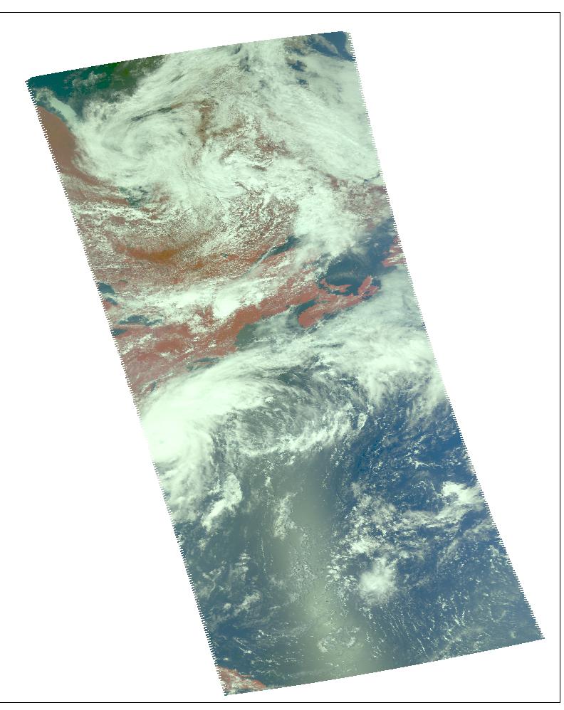
2004-07-14 | Earth |
Aqua |
AIRS |
1000x1000x3 |
|
|||||
|
|
2004-07-21 | Earth |
Terra |
MISR |
2927x1778x3 |
|
|||||
|
|
2004-07-23 | Earth |
Aqua |
AIRS |
1000x1000x3 |
|
|||||
|
|
2004-07-26 | Earth |
Aqua |
AIRS |
1000x1000x3 |
|
|||||
|
|
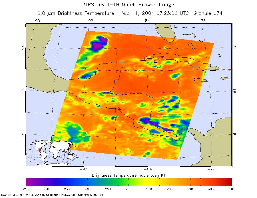
2004-08-03 | Earth |
Aqua |
AIRS |
792x998x3 |

|
|||||
|
|
2004-08-04 | Earth |
Jason-1 |
Altimeter |
900x900x3 |

|
|||||
|
|
2004-08-04 | Earth |
Terra |
MISR |
1365x1480x3 |

|
|||||
|
|
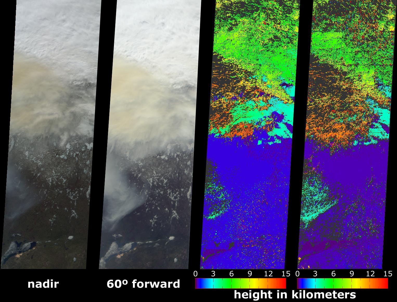
2004-08-12 | Earth |
Aqua |
AIRS |
900x695x3 |
|
|||||
|
|
2004-08-18 | Earth |
Terra |
MISR |
1526x1162x3 |
|
|||||
|
|
2004-08-30 | Earth |
Aqua |
AIRS |
500x342x3 |
|
|||||
|
|
2004-08-30 | Earth |
Aqua |
AIRS |
490x471x3 |
|
|||||
|
|
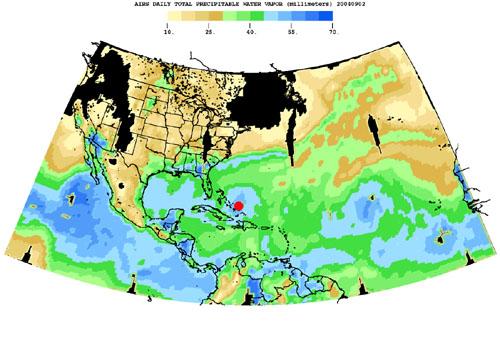
2004-09-01 | Earth |
Terra |
MISR |
2544x1527x3 |

|
|||||
|
|
2004-09-03 | Earth |
Shuttle Radar Topography Mission (SRTM) |
C-Band Radar X-Band Radar |
8200x5389x3 |
|
|||||
|
|
2004-09-14 | Earth |
Terra |
MISR |
1693x1262x3 |

|
|||||
|
|
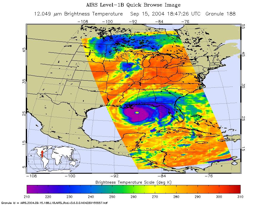
2004-09-15 | Earth |
Aqua |
AIRS |
900x695x3 |
|
|||||
|
|
2004-09-15 | Earth |
Shuttle Radar Topography Mission (SRTM) |
C-Band Radar X-Band Radar |
9100x11220x3 |
|
|||||
|
|
2004-09-22 | Earth |
Terra |
ASTER |
870x390x3 |

|
|||||
|
|
2004-09-29 | Earth |
Terra |
MISR |
3292x3608x3 |
|
|||||
|
|
2004-10-01 | Earth |
Shuttle Radar Topography Mission (SRTM) |
C-Band Imaging Radar X-Band Radar |
2300x1730x3 |

|
|||||
|
|
2004-10-02 | Earth |
Terra |
MISR |
1336x924x3 |

|
|||||
|
|
2004-10-11 | Earth |
Terra |
ASTER |
2771x3000x3 |

|
|||||
|
|
2004-10-27 | Earth |
Terra |
MISR |
1669x2088x3 |
|
|||||
|
|
2004-11-10 | Earth |
Terra |
MISR |
1723x1838x3 |

|
|||||
|
|
2004-11-16 | Earth |
Jason-1 |
Altimeter |
900x900x3 |

|
|||||
|
|
2004-12-09 | Earth |
Shuttle Radar Topography Mission (SRTM) |
C-Band Radar X-Band Radar |
5200x4858x3 |

|
|||||

|
 |
|
|
|
|
|
|
|
 |
 |

|
| 1-100 | 101-200 | 201-300 | 301-400 | 401-500 | 501-600 | 601-700 | 701-800 | 801-900 | 901-1000 |
| Currently displaying images: 801 - 900 of 2593 |