|
Your search criteria found 2593 images Target is Earth (and available satellites) |
| My List |
Addition Date | Target | Mission | Instrument |
Size
|

|
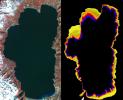
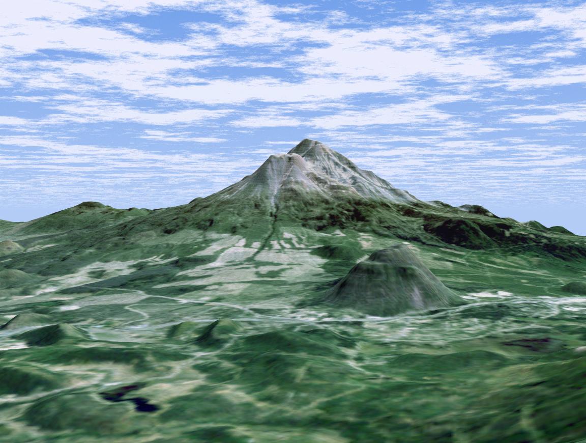
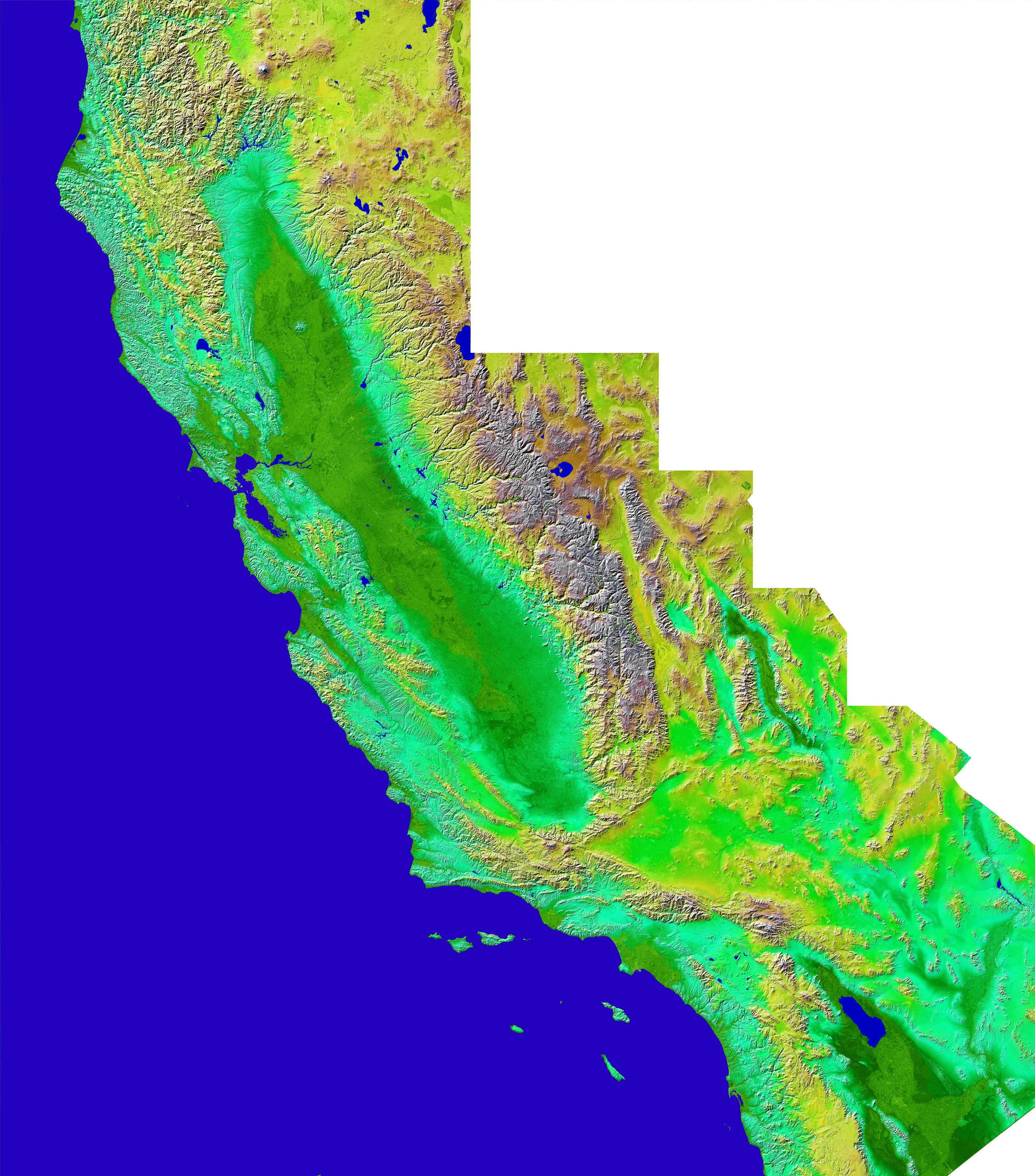
2002-01-22 | Earth |
Landsat Shuttle Radar Topography Mission (SRTM) |
C-Band Interferometric Radar Thematic Mapper |
1152x870x3 |
|
|||||
|
|
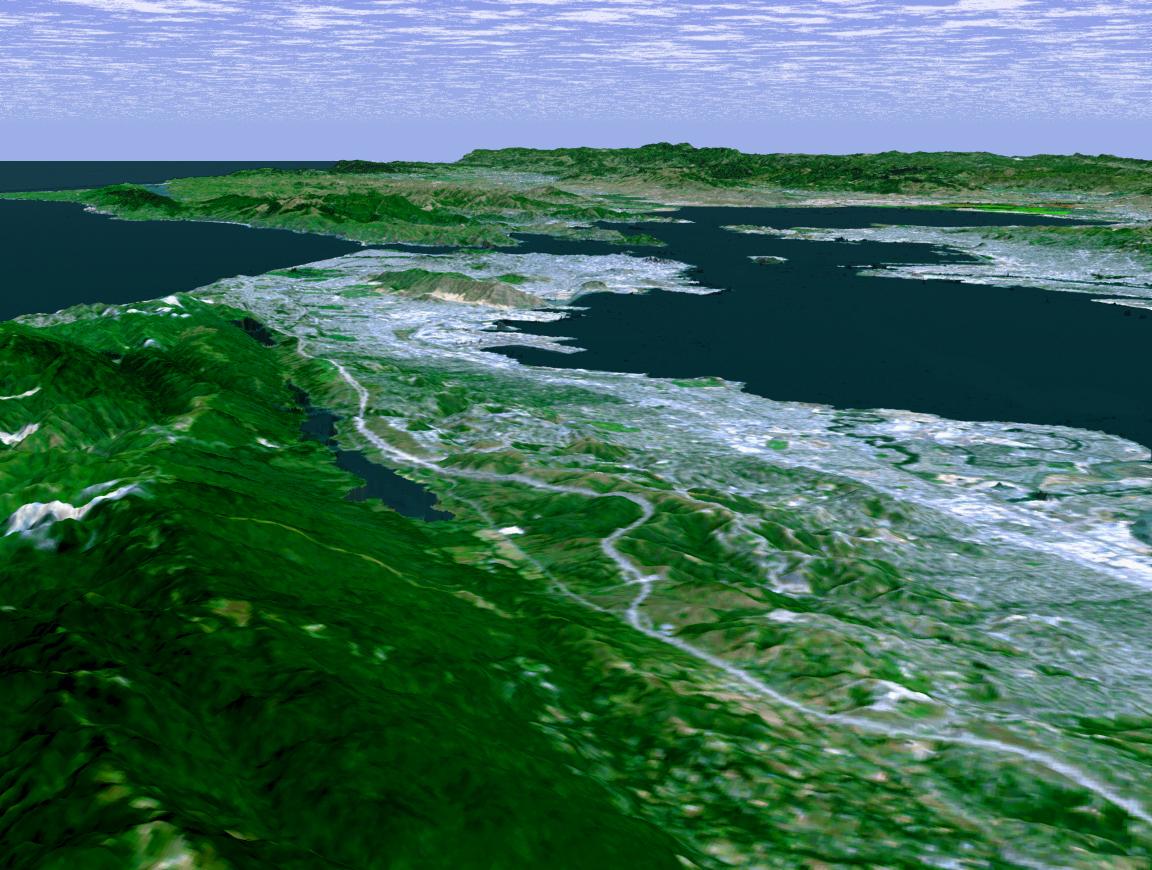
2002-01-22 | Earth |
Landsat Shuttle Radar Topography Mission (SRTM) |
C-Band Interferometric Radar Thematic Mapper |
1152x870x3 |

|
|||||
|
|
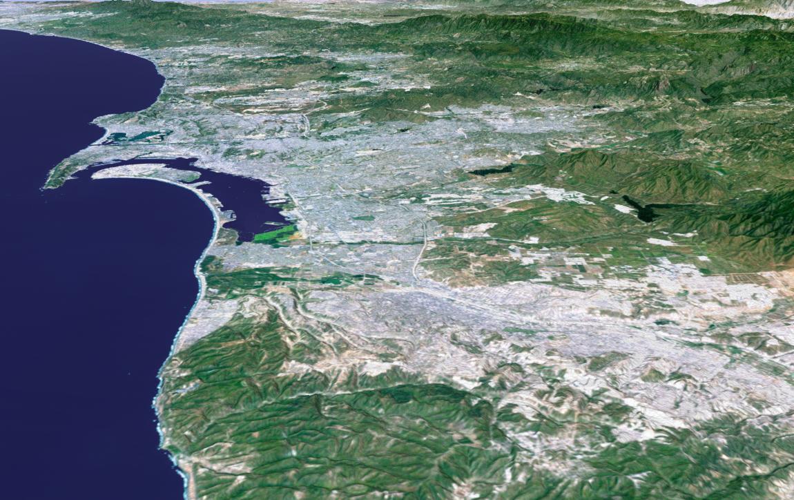
2002-01-22 | Earth |
Landsat Shuttle Radar Topography Mission (SRTM) |
C-Band Interferometric Radar Thematic Mapper |
1150x724x3 |

|
|||||
|
|
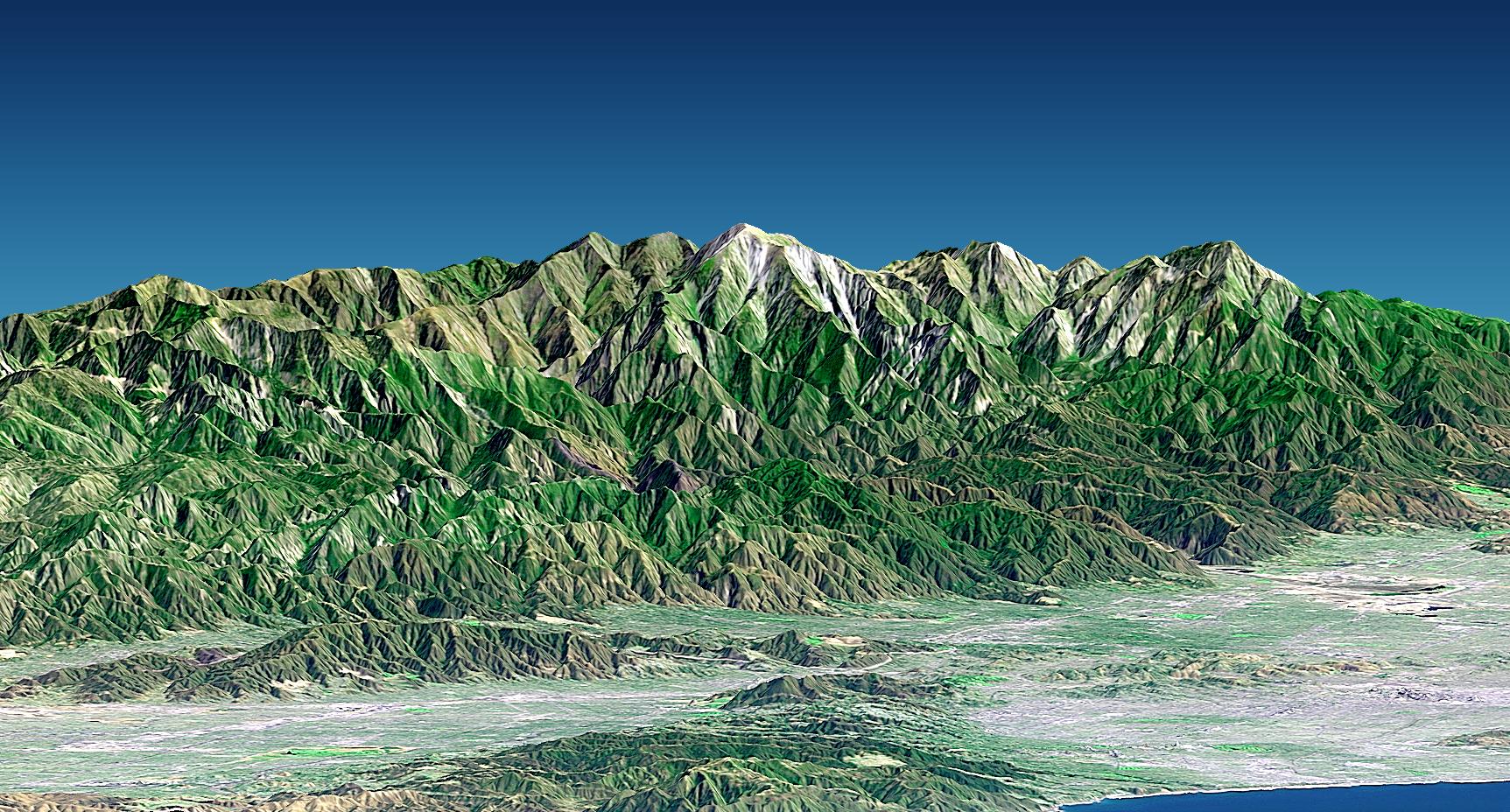
2002-01-22 | Earth |
Landsat Shuttle Radar Topography Mission (SRTM) |
C-Band Interferometric Radar Thematic Mapper |
1150x810x3 |
|
|||||
|
|
2002-01-22 | Earth |
Landsat Shuttle Radar Topography Mission (SRTM) |
C-Band Interferometric Radar Thematic Mapper |
1725x928x3 |

|
|||||
|
|
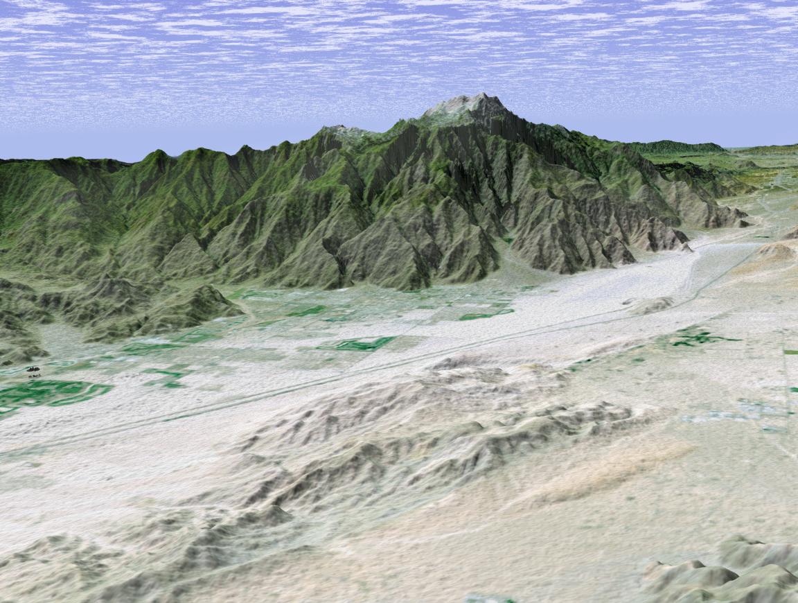
2002-01-22 | Earth |
Shuttle Radar Topography Mission (SRTM) |
C-Band Interferometric Radar |
2640x3000x3 |
|
|||||
|
|
2002-01-22 | Earth |
Landsat Shuttle Radar Topography Mission (SRTM) |
C-Band Interferometric Radar Thematic Mapper |
1152x870x3 |

|
|||||
|
|
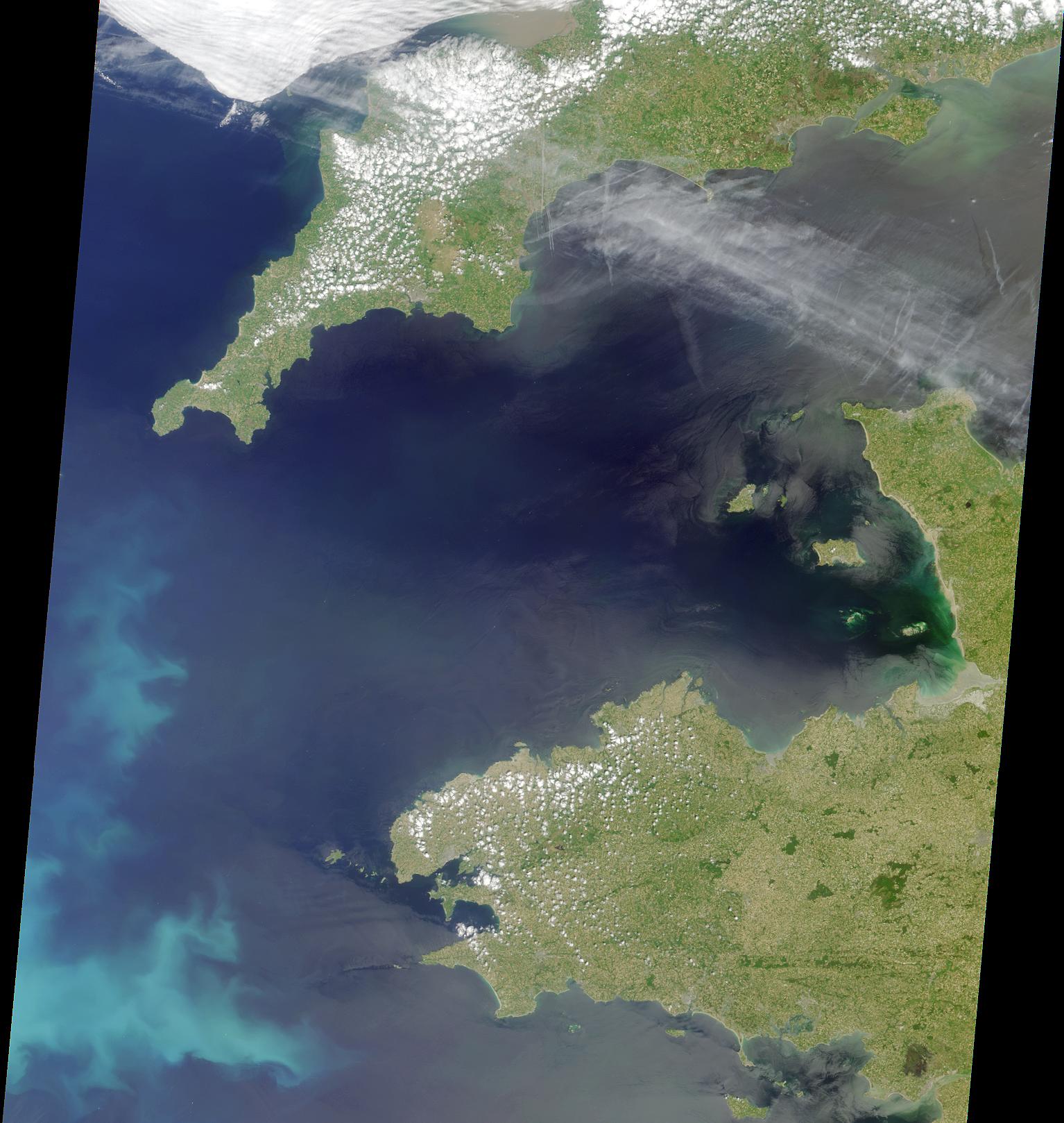
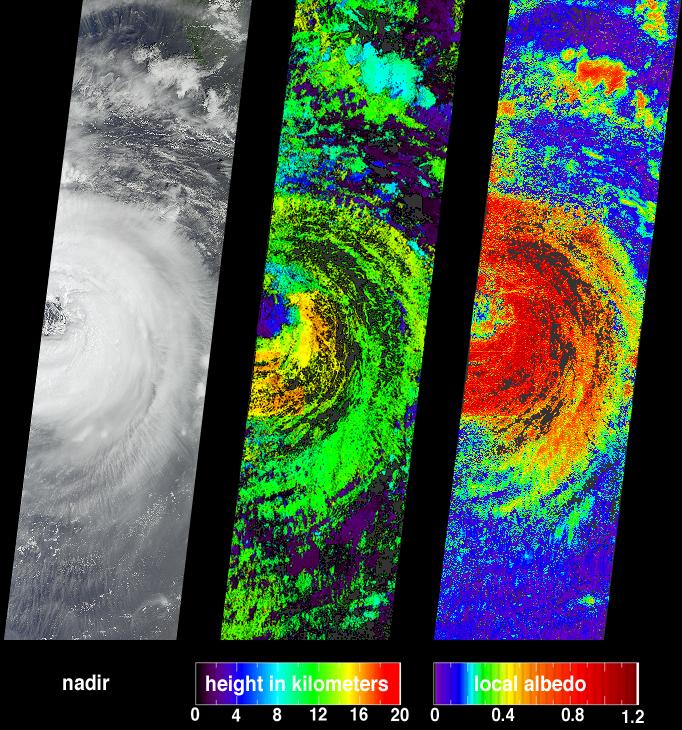
2002-01-23 | Earth |
Terra |
MISR |
2026x1366x3 |
|
|||||
|
|
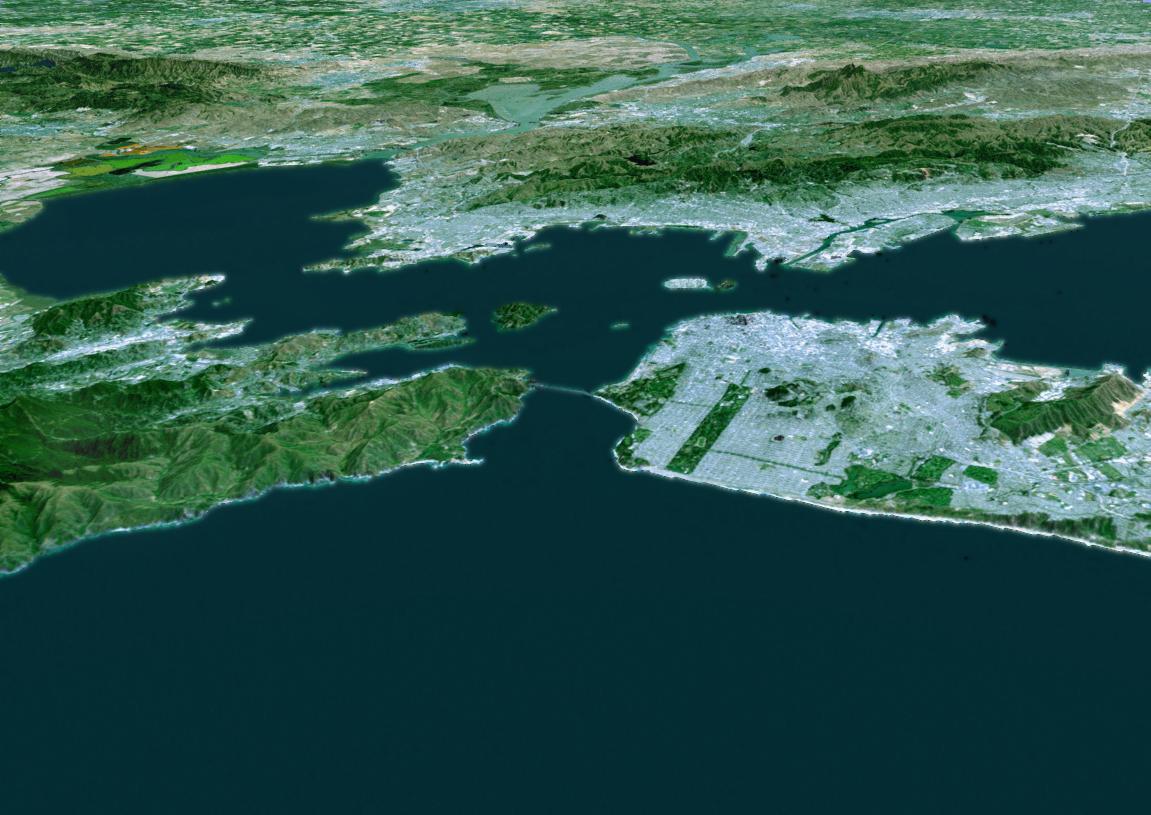
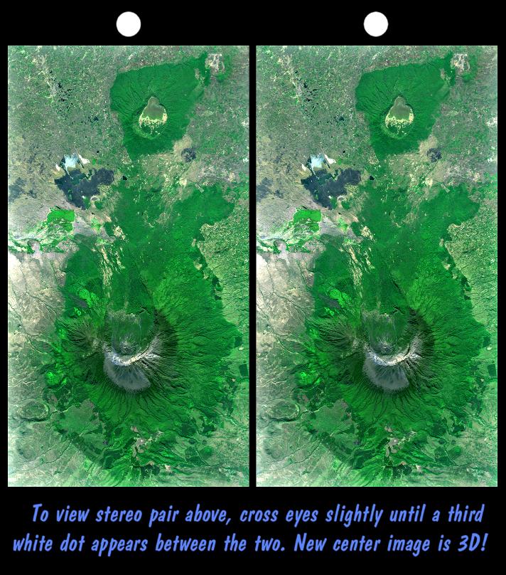
2002-01-30 | Earth |
Terra |
MISR |
1534x1618x3 |
|
|||||
|
|
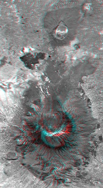
2002-01-31 | Earth |
Landsat Shuttle Radar Topography Mission (SRTM) |
C-Band Interferometric Radar Thematic Mapper |
1151x815x3 |

|
|||||
|
|
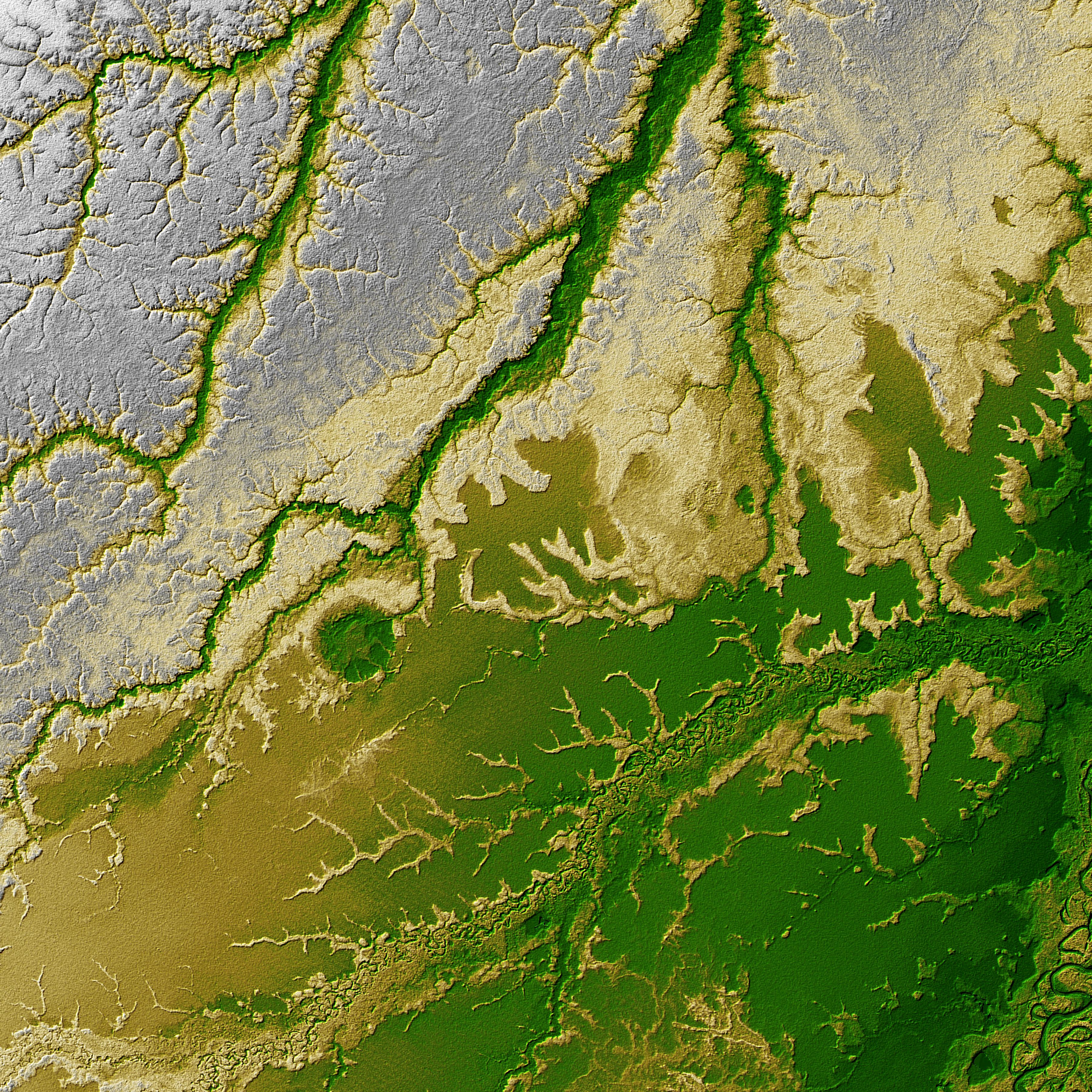
2002-01-31 | Earth |
Landsat Shuttle Radar Topography Mission (SRTM) |
C-Band Interferometric Radar Thematic Mapper |
1152x870x3 |
|
|||||
|
|
2002-02-01 | Earth |
Terra |
ASTER |
692x829x3 |

|
|||||
|
|
2002-02-01 | Earth |
Terra |
ASTER |
600x1250x3 |
|
|
|||||
|
|
2002-02-01 | Earth |
Landsat Shuttle Radar Topography Mission (SRTM) |
C-Band Interferometric Radar Thematic Mapper |
670x311x3 |

|
|||||
|
|
2002-02-01 | Earth |
Landsat Shuttle Radar Topography Mission (SRTM) |
C-Band Interferometric Radar Thematic Mapper |
670x311x3 |

|
|||||
|
|
2002-02-01 | Earth |
Landsat Shuttle Radar Topography Mission (SRTM) |
C-Band Interferometric Radar Thematic Mapper |
670x1350x3 |

|
|||||
|
|
2002-02-01 | Earth |
Landsat Shuttle Radar Topography Mission (SRTM) |
C-Band Interferometric Radar Thematic Mapper |
1384x2022x3 |
|
|||||
|
|
2002-02-06 | Earth |
Terra |
MISR |
1635x1038x3 |
|
|||||
|
|
2002-02-06 | Earth |
Landsat Shuttle Radar Topography Mission (SRTM) |
C-Band Interferometric Radar Thematic Mapper |
2154x2442x3 |

|
|||||
|
|
2002-02-06 | Earth |
Landsat Shuttle Radar Topography Mission (SRTM) |
C-Band Interferometric Radar Thematic Mapper |
3100x553x3 |
|
|||||
|
|
2002-02-06 | Earth |
Landsat Shuttle Radar Topography Mission (SRTM) |
C-Band Interferometric Radar Thematic Mapper |
925x2385x3 |
|
|
|||||
|
|
2002-02-06 | Earth |
Landsat Shuttle Radar Topography Mission (SRTM) |
C-Band Interferometric Radar Thematic Mapper |
950x1444x3 |
|
|||||
|
|
2002-02-06 | Earth |
Terra |
MISR |
1500x1778x3 |

|
|||||
|
|
2002-02-07 | Earth |
Terra |
ASTER |
4100x8220x3 |

|
|||||
|
|
2002-02-07 | Earth |
Terra |
ASTER |
4100x8221x3 |

|
|||||
|
|
2002-02-07 | Earth |
Terra |
ASTER |
1500x1137x3 |
|
|||||
|
|
2002-02-13 | Earth |
Terra |
MISR |
1084x1300x3 |

|
|||||
|
|
2002-02-20 | Earth |
Terra |
MISR |
1684x1860x3 |
|
|||||
|
|
2002-02-26 | Earth |
Terra |
ASTER |
1650x1800x3 |
|
|||||
|
|
2002-02-27 | Earth |
Terra |
MISR |
2034x1128x3 |

|
|||||
|
|
2002-02-28 | Earth |
Landsat Shuttle Radar Topography Mission (SRTM) |
C-Band Interferometric Radar Thematic Mapper |
1958x799x3 |
|
|||||
|
|
2002-03-06 | Earth |
Terra |
MISR |
1500x1282x3 |
|
|||||
|
|
2002-03-12 | Earth |
Terra |
ASTER |
1208x797x3 |
|
|||||
|
|
2002-03-13 | Earth |
Terra |
MISR |
1328x1229x3 |
|
|||||
|
|
2002-03-20 | Earth |
Terra |
MISR |
1026x688x3 |
|
|||||
|
|
2002-03-27 | Earth |
Terra |
MISR |
1017x1444x3 |
|
|||||
|
|
2002-03-29 | Earth |
Shuttle Radar Topography Mission (SRTM) |
C-Band Interferometric Radar |
7200x7200x3 |
|
|||||
|
|
2002-04-03 | Earth |
Terra |
MISR |
1152x1500x3 |
|
|||||
|
|
2002-04-03 | Earth |
Terra |
ASTER |
1100x1750x3 |

|
|||||
|
|
2002-04-04 | Earth |
Shuttle Radar Topography Mission (SRTM) |
C-Band Interferometric Radar |
6000x8000x3 |

|
|||||
|
|
2002-04-05 | Earth |
Landsat Shuttle Radar Topography Mission (SRTM) |
C-Band Interferometric Radar Thematic Mapper |
3000x2063x3 |

|
|||||
|
|
2002-04-10 | Earth |
Terra |
MISR |
1106x675x3 |
|
|||||
|
|
2002-04-17 | Earth |
Terra |
MISR |
1280x680x3 |
|
|||||
|
|
2002-04-19 | Earth |
Terra |
ASTER |
1597x1082x3 |

|
|||||
|
|
2002-04-19 | Earth |
Terra |
ASTER |
1200x600x3 |
|
|||||
|
|
2002-04-22 | Earth |
Shuttle Radar Topography Mission (SRTM) |
C-Band Interferometric Radar |
7200x7200x3 |

|
|||||
|
|
2002-04-24 | Earth |
Terra |
MISR |
1020x651x3 |

|
|||||
|
|
2002-05-01 | Earth |
Terra |
MISR |
2060x1242x3 |

|
|||||
|
|
2002-05-07 | Earth |
Terra |
ASTER |
1200x600x3 |
|
|||||
|
|
2002-05-08 | Earth |
Terra |
MISR |
1532x1408x3 |
|
|||||
|
|
2002-05-10 | Earth |
Terra |
MISR |
538x818x3 |
|
|||||
|
|
2002-05-15 | Earth |
Terra |
MISR |
1079x802x3 |

|
|||||
|
|
2002-05-22 | Earth |
Terra |
MISR |
1063x1565x3 |

|
|||||
|
|
2002-05-29 | Earth |
Terra |
MISR |
1100x872x3 |
|
|||||
|
|
2002-06-11 | Earth |
Terra |
ASTER |
3594x3819x3 |

|
|||||
|
|
2002-06-11 | Earth |
Terra |
ASTER |
2840x2155x3 |

|
|||||
|
|
2002-06-12 | Earth |
Terra |
MISR |
1660x933x3 |
|
|||||
|
|
2002-06-14 | Earth |
Aqua |
AIRS |
2144x1184x3 |

|
|||||
|
|
2002-06-18 | Earth |
Terra |
ASTER |
2146x2349x3 |

|
|||||
|
|
2002-06-19 | Earth |
Terra |
MISR |
1632x582x3 |

|
|||||
|
|
2002-06-26 | Earth |
Terra |
MISR |
1276x1050x3 |
|
|||||
|
|
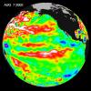
2002-07-03 | Earth |
TOPEX/Poseidon |
Altimeter |
900x900x3 |
|
|||||
|
|
2002-07-03 | Earth |
Aqua |
AIRS |
362x814x3 |
|
|
|||||
|
|
2002-07-03 | Earth |
Terra |
MISR |
1214x1700x3 |
|
|||||
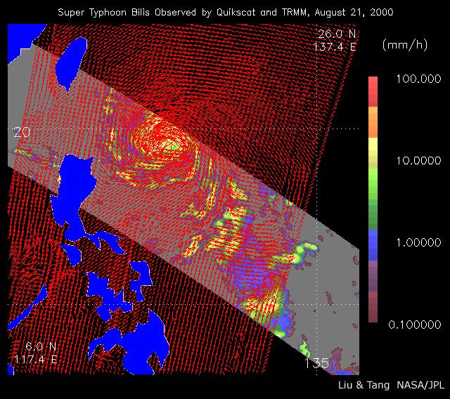
|
|
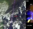
2002-07-05 | Earth |
QuikScat |
SeaWinds Scatterometer |
640x568x3 |
|
|||||
|
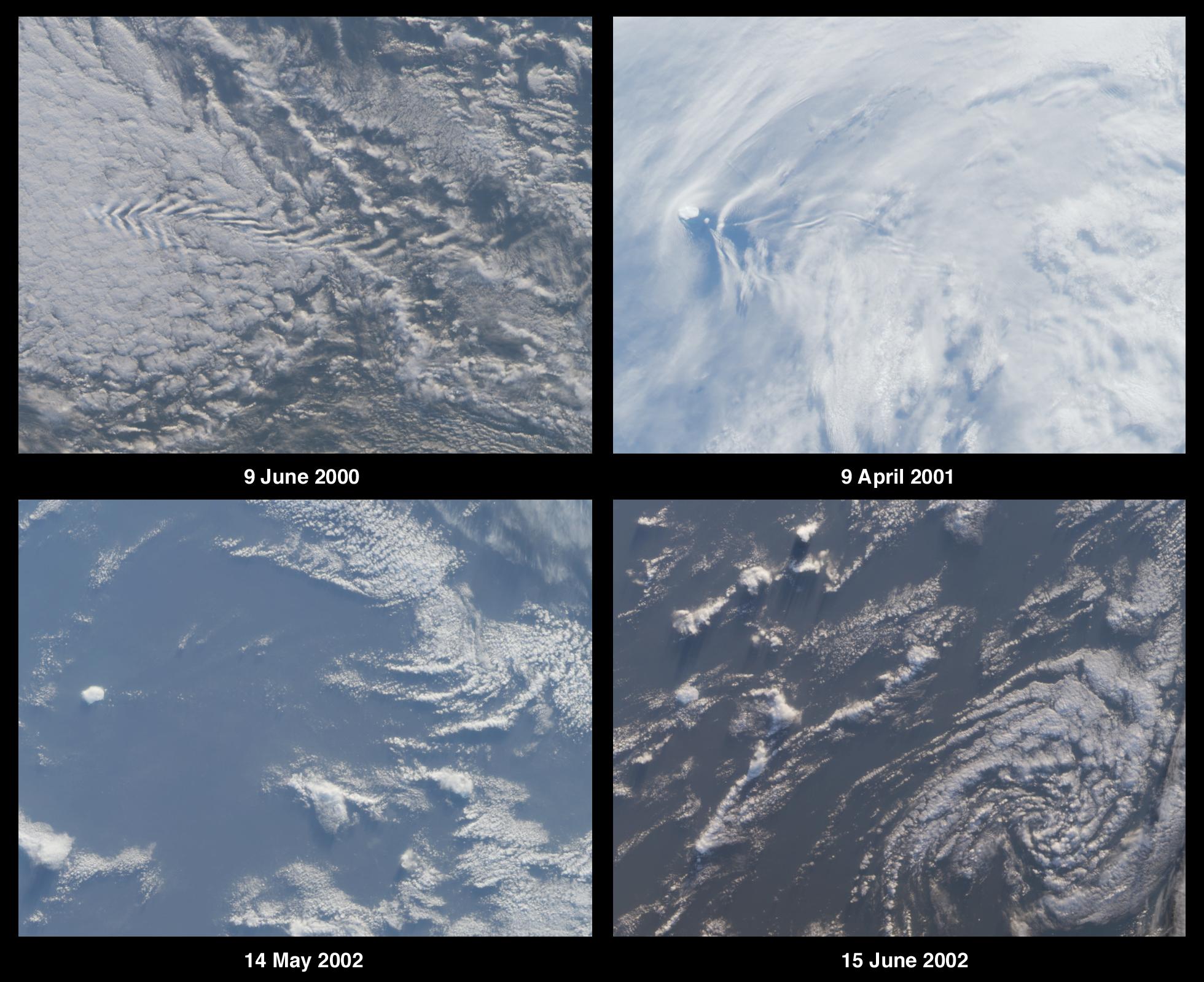
|
2002-07-05 | Moon |
Ranger 9 |
TV Camera |
550x473x3 |
|
|
||||
|
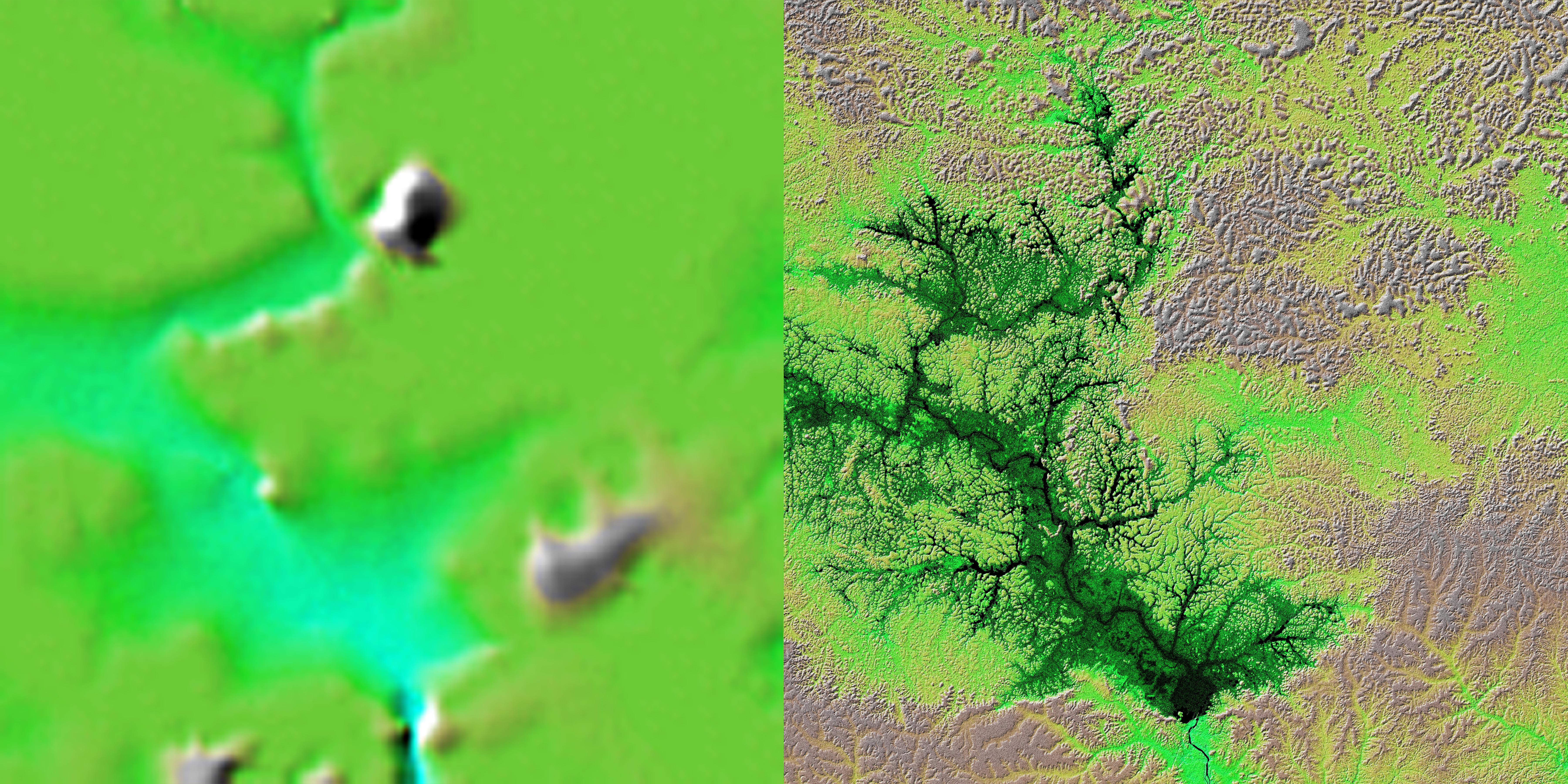
|
2002-07-10 | Earth |
Terra |
MISR |
1960x1600x3 |
|
|||||
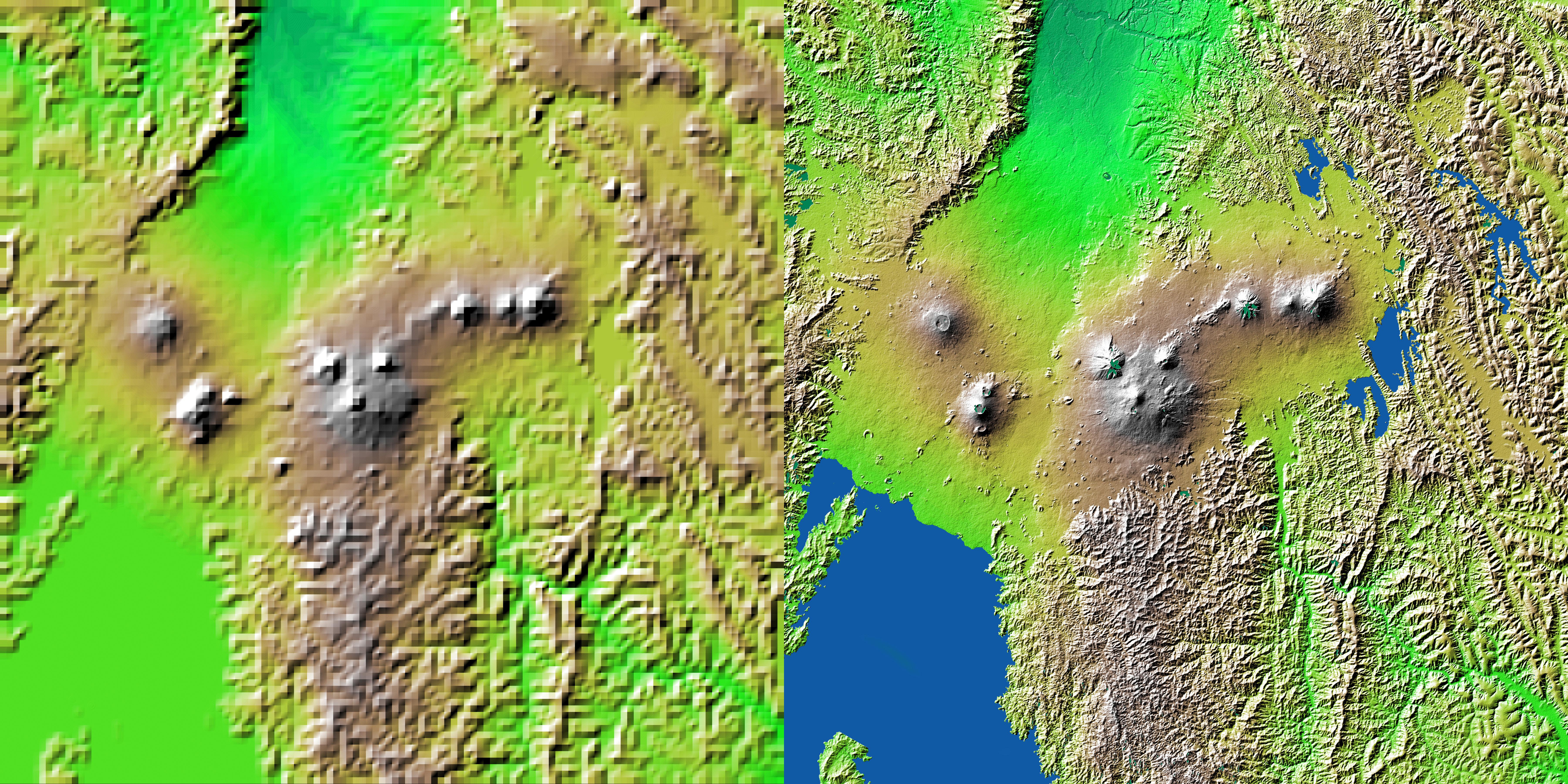
|
|
2002-07-11 | Earth |
Shuttle Radar Topography Mission (SRTM) |
C-Band Interferometric Radar |
7200x3600x3 |
|
|||||
|
|
2002-07-11 | Earth |
Shuttle Radar Topography Mission (SRTM) |
C-Band Interferometric Radar |
7200x3601x3 |
|
|||||
|
|
2002-07-11 | Earth |
Shuttle Radar Topography Mission (SRTM) |
C-Band Interferometric Radar |
7200x3600x3 |

|
|||||
|
|
2002-07-11 | Earth |
Shuttle Radar Topography Mission (SRTM) |
C-Band Interferometric Radar |
7200x3600x3 |
|
|||||
|
|
2002-07-11 | Earth |
Shuttle Radar Topography Mission (SRTM) |
C-Band Interferometric Radar |
7200x3410x3 |
|
|||||
|
|
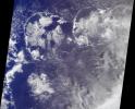
2002-07-13 | Earth |
Aqua |
AIRS |
1536x1536x3 |

|
|||||
|
|
2002-07-16 | Earth |
Terra |
ASTER |
3885x2852x3 |
|
|||||
|
|
2002-07-17 | Earth |
Terra |
MISR |
1806x1070x3 |
|
|||||
|
|
2002-07-24 | Earth |
Terra |
MISR |
1811x2182x3 |
|
|||||
|
|
2002-07-25 | Earth |
Terra |
ASTER |
3924x2394x3 |
|
|||||
|
|
2002-07-31 | Earth |
Terra |
MISR |
1351x1348x3 |
|
|||||
|
|
2002-07-31 | Earth |
Terra |
ASTER |
1028x798x3 |

|
|||||
|
|
2002-08-06 | Earth |
Terra |
ASTER |
3124x2554x3 |
|
|||||
|
|
2002-08-07 | Earth |
Terra |
MISR |
1069x970x3 |
|
|||||
|
|
2002-08-14 | Earth |
Terra |
MISR |
1548x1256x3 |
|
|||||
|
|
2002-08-21 | Earth |
Terra |
MISR |
1964x2808x3 |

|
|||||
|
|
2002-08-22 | Earth |
TOPEX/Poseidon |
Altimeter |
900x900x3 |
|
|||||
|
|
2002-08-22 | Earth |
Terra |
ASTER |
2976x3942x3 |
|
|||||
|
|
2002-08-22 | Earth |
Landsat Shuttle Radar Topography Mission (SRTM) |
C-Band Interferometric Radar Thematic Mapper |
1373x209x3 |

|
|||||
|
|
2002-08-28 | Earth |
Terra |
MISR |
1392x805x3 |
|
|||||
|
|
2002-08-29 | Earth |
Shuttle Radar Topography Mission (SRTM) |
C-Band Interferometric Radar |
688x550x3 |
|
|||||
|
|
2002-09-03 | Earth |
Terra |
ASTER |
3966x3732x3 |

|
|||||
|
|
2002-09-04 | Earth |
Terra |
MISR |
1058x1169x3 |
|
|||||
|
|
2002-09-08 | Earth |
Aqua |
AIRS |
641x469x3 |
|
|||||
|
|
2002-09-11 | Earth |
Terra |
MISR |
682x730x3 |

|
|||||
|
|
2002-09-12 | Earth |
Landsat Shuttle Radar Topography Mission (SRTM) |
C-Band Interferometric Radar Thematic Mapper |
712x808x3 |

|
|||||
|
|
2002-09-12 | Earth |
Landsat Shuttle Radar Topography Mission (SRTM) |
C-Band Interferometric Radar Thematic Mapper |
339x620x3 |

|
|||||
|
|
2002-09-13 | Earth |
Shuttle Radar Topography Mission (SRTM) |
C-Band Interferometric Radar |
3601x3601x3 |

|
|||||
|
|
2002-09-15 | Earth |
Terra |
ASTER |
4850x7960x3 |
|
|||||
|
|
2002-09-17 | Earth |
Terra |
ASTER |
1192x998x3 |
|
|||||
|
|
2002-09-18 | Earth |
Terra |
MISR |
1341x2060x3 |

|
|||||
|
|
2002-09-19 | Earth |
Landsat Shuttle Radar Topography Mission (SRTM) |
C-Band Interferometric Radar Thematic Mapper |
1009x1600x3 |

|
|||||
|
|
2002-09-19 | Earth |
Landsat Shuttle Radar Topography Mission (SRTM) |
C-Band Interferometric Radar Thematic Mapper |
2174x2271x3 |
|
|||||

|
 |
|
|
|
|
|
 |
 |
|
|

|
| 1-100 | 101-200 | 201-300 | 301-400 | 401-500 | 501-600 | 601-700 | 701-800 | 801-900 | 901-1000 |
| Currently displaying images: 601 - 700 of 2593 |