|
Your search criteria found 2593 images Target is Earth (and available satellites) |
| My List |
Addition Date | Target | Mission |
Instrument
|
Size |

|
2022-10-12 | Earth |
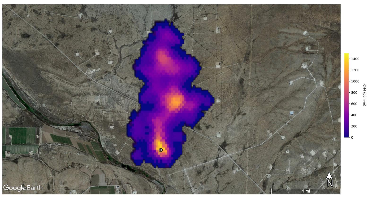
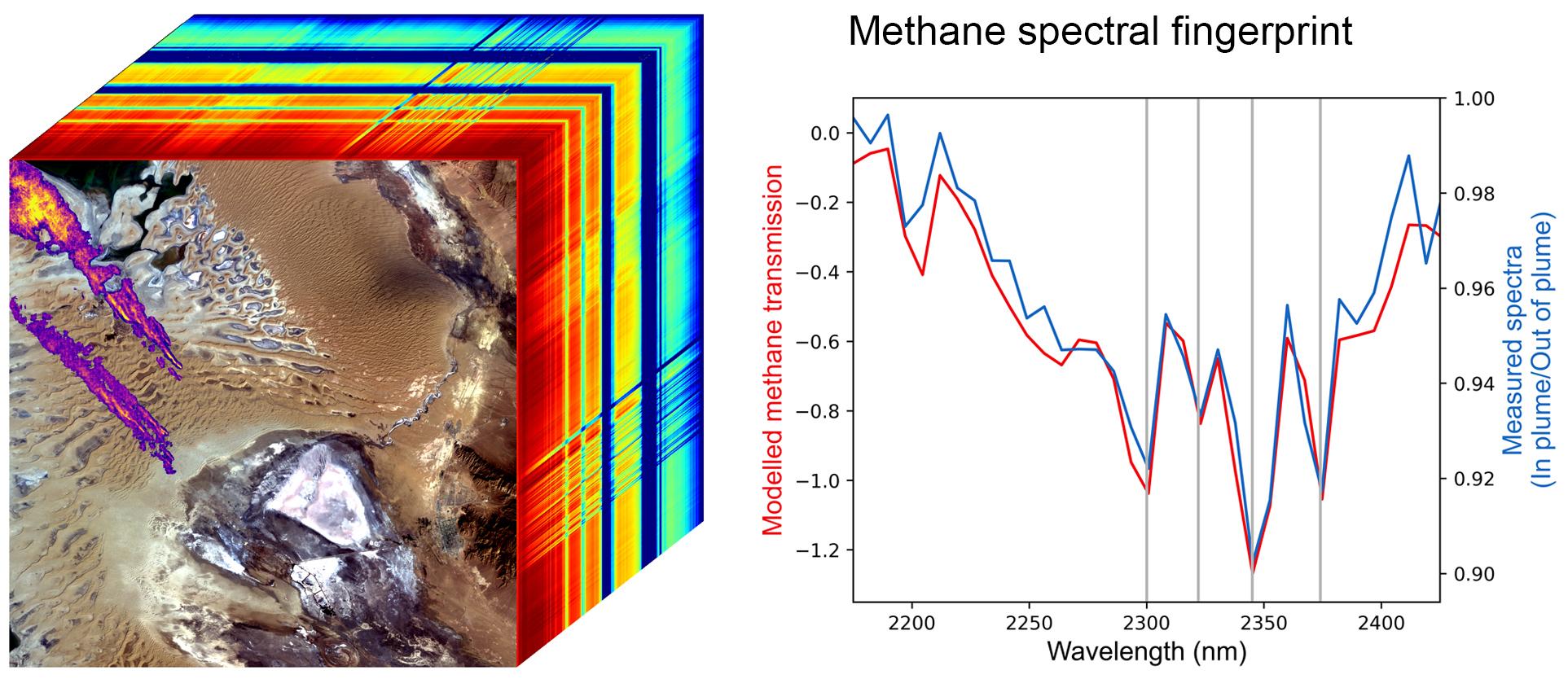
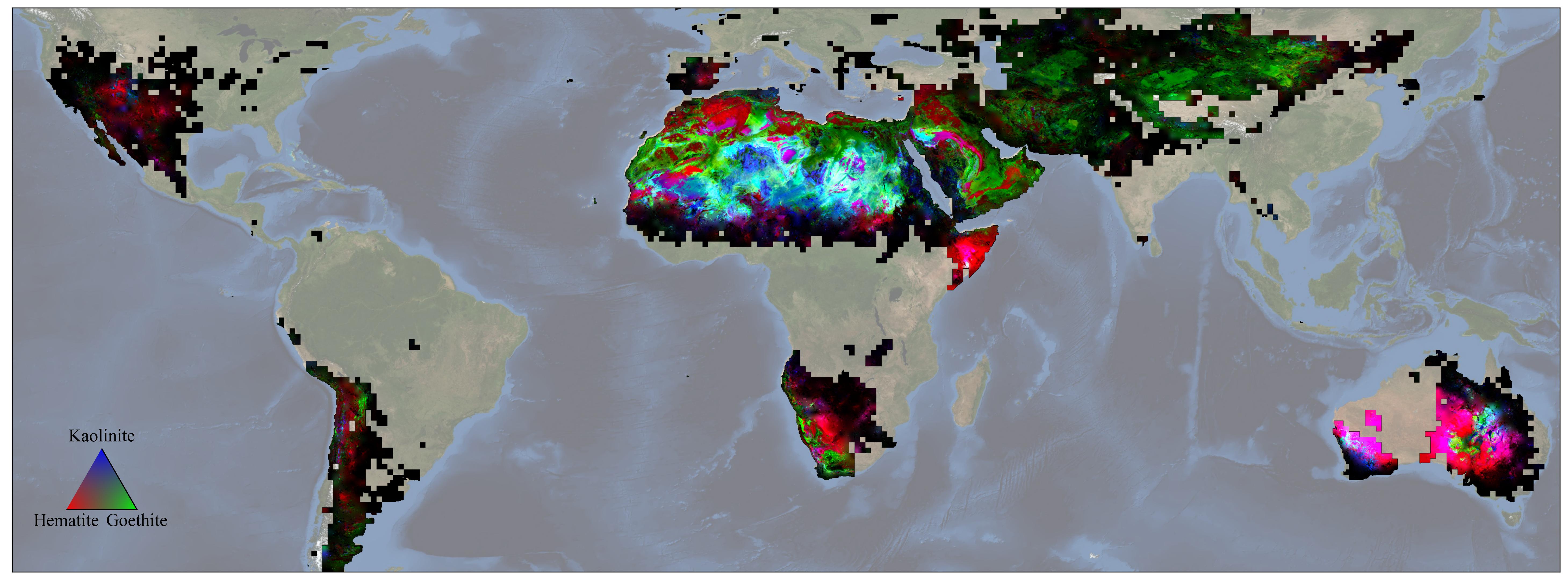
Earth Surface Mineral Dust Source Investigation (EMIT) |
EMIT |
2249x2289x3 |

|
|||||
|
|
2022-10-12 | Earth |
Earth Surface Mineral Dust Source Investigation (EMIT) |
EMIT |
774x750x3 |
|
|||||
|
|
2022-10-12 | Earth |
Earth Surface Mineral Dust Source Investigation (EMIT) |
EMIT |
1435x891x3 |

|
|||||
|
|
2022-10-12 | Earth |
Earth Surface Mineral Dust Source Investigation (EMIT) |
EMIT |
1489x1039x3 |

|
|||||
|
|
2022-10-12 | Earth |
Earth Surface Mineral Dust Source Investigation (EMIT) |
EMIT |
2457x2370x3 |
|
|||||
|
|
2022-10-25 | Earth |
Earth Surface Mineral Dust Source Investigation (EMIT) |
EMIT |
1557x834x3 |
|
|||||
|
|
2022-10-25 | Earth |
Earth Surface Mineral Dust Source Investigation (EMIT) |
EMIT |
1925x834x3 |
|
|||||
|
|
2023-11-17 | Earth |
Earth Surface Mineral Dust Source Investigation (EMIT) |
EMIT |
3499x1700x3 |
|
|||||
|
|
2023-12-11 | Earth |
Earth Surface Mineral Dust Source Investigation (EMIT) |
EMIT |
5836x2174x3 |
|
|||||
|
|
1997-01-22 | Earth |
KidSat |
Electronic Still Camera |
3060x2036x3 |
|
|||||
|
|
1997-01-22 | Earth |
KidSat |
Electronic Still Camera |
3060x2036x3 |
|
|||||
|
|
1997-10-03 | Earth |
KidSat |
Electronic Still Camera |
7019x2290x3 |
|
|||||
|
|
1997-10-03 | Earth |
KidSat |
Electronic Still Camera |
3060x2036x3 |
|
|||||
|
|
1997-10-03 | Earth |
KidSat |
Electronic Still Camera |
1024x1024x3 |
|
|||||
|
|
1997-10-03 | Earth |
KidSat |
Electronic Still Camera |
3060x2036x3 |
|
|||||
|
|
1997-10-03 | Earth |
KidSat |
Electronic Still Camera |
3060x2036x3 |

|
|||||
|
|
1997-10-03 | Earth |
KidSat |
Electronic Still Camera |
3060x2036x3 |
|
|||||
|
|
1997-10-03 | Earth |
KidSat |
Electronic Still Camera |
1024x1024x3 |
|
|||||
|
|
2008-09-05 | Earth |
ISS EarthKam |
Electronic Still Camera |
3060x2036x3 |
|
|||||
|
|
2008-09-04 | Earth |
ISS EarthKam |
Electronic Still Camera |
3060x2036x3 |
|
|||||
|
|
2008-09-04 | Earth |
ISS EarthKam |
Electronic Still Camera |
3060x2036x3 |
|
|||||
|
|
2008-09-04 | Earth |
ISS EarthKam |
Electronic Still Camera |
3060x2036x3 |
|
|||||
|
|
2008-09-04 | Earth |
ISS EarthKam |
Electronic Still Camera |
3060x2036x3 |
|
|||||
|
|
2008-09-04 | Earth |
ISS EarthKam |
Electronic Still Camera |
3060x2036x3 |
|
|||||
|
|
2008-09-04 | Earth |
ISS EarthKam |
Electronic Still Camera |
3060x2036x3 |
|
|||||
|
|
2008-09-04 | Earth |
ISS EarthKam |
Electronic Still Camera |
3060x2036x3 |

|
|||||
|
|
2008-09-04 | Earth |
ISS EarthKam |
Electronic Still Camera |
3060x2036x3 |

|
|||||
|
|
2008-09-05 | Earth |
ISS EarthKam |
Electronic Still Camera |
3060x2036x3 |
|
|||||
|
|
2008-09-05 | Earth |
ISS EarthKam |
Electronic Still Camera |
3060x2036x3 |
|
|||||
|
|
2008-09-05 | Earth |
ISS EarthKam |
Electronic Still Camera |
3060x2036x3 |

|
|||||
|
|
2008-09-05 | Earth |
ISS EarthKam |
Electronic Still Camera |
3060x2036x3 |
|
|||||
|
|
2008-09-05 | Earth |
ISS EarthKam |
Electronic Still Camera |
3060x2036x3 |
|
|||||
|
|
2008-09-05 | Earth |
ISS EarthKam |
Electronic Still Camera |
3060x2036x3 |
|
|||||
|
|
2008-09-05 | Earth |
ISS EarthKam |
Electronic Still Camera |
3060x2036x3 |
|
|||||
|
|
2008-09-05 | Earth |
ISS EarthKam |
Electronic Still Camera |
3060x2036x3 |

|
|||||
|
|
2008-09-05 | Earth |
ISS EarthKam |
Electronic Still Camera |
3060x2036x3 |

|
|||||
|
|
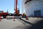
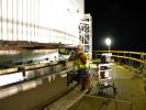
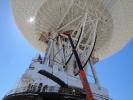
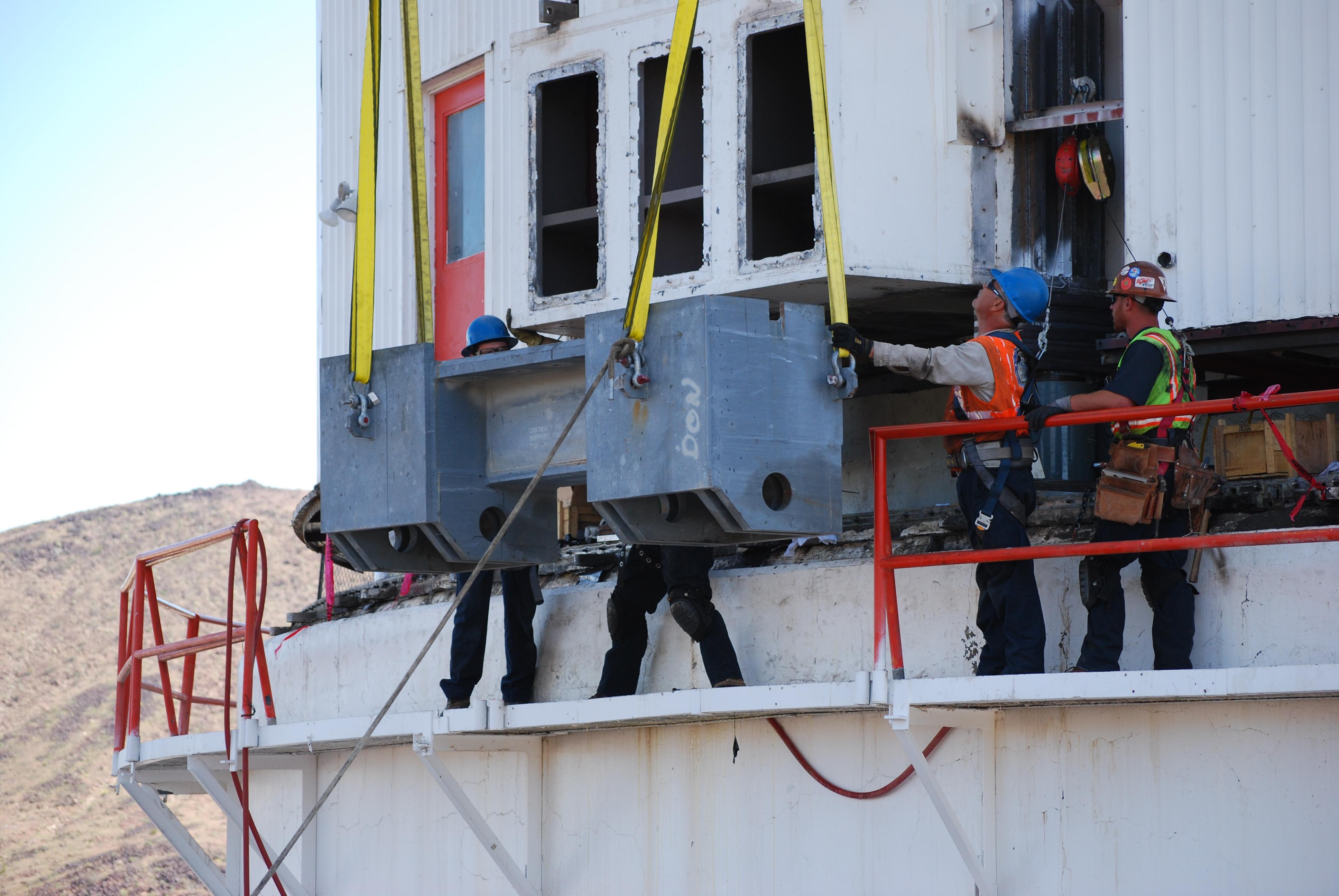
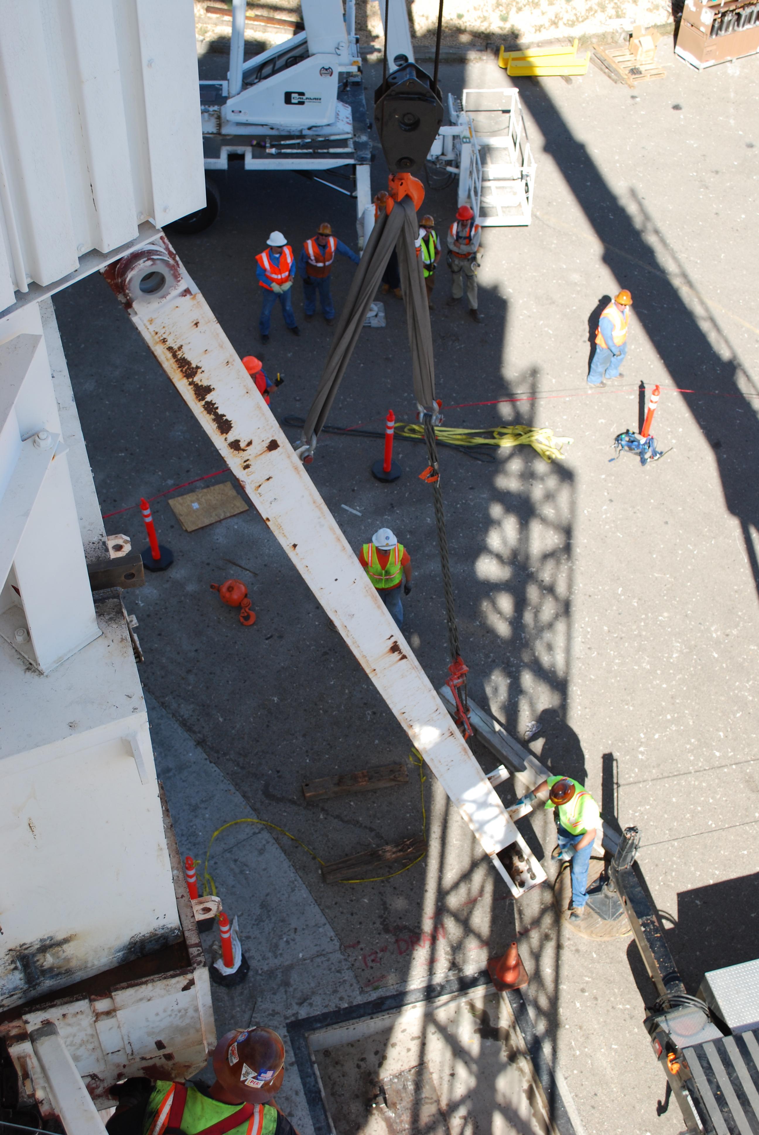
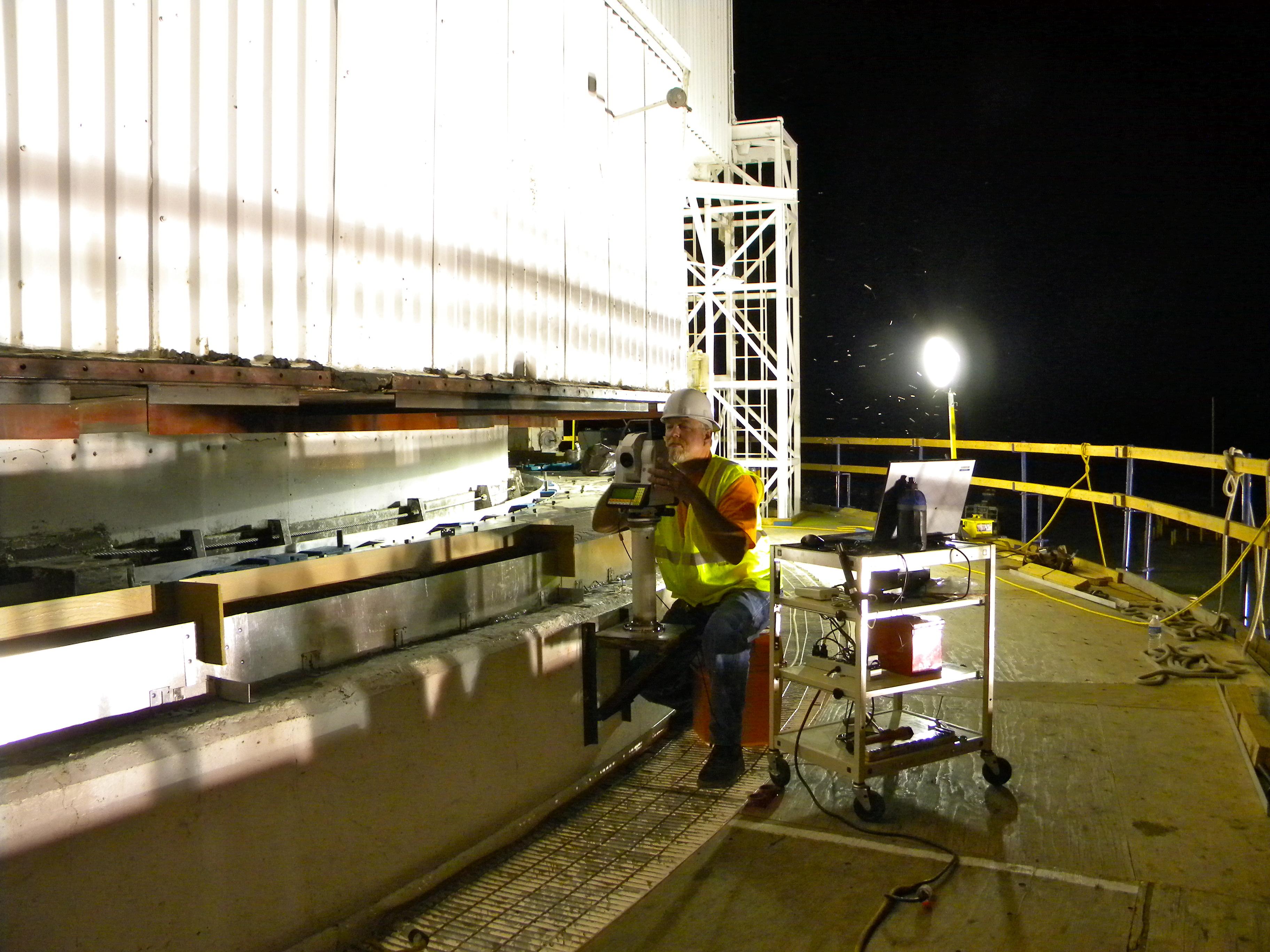
2010-11-03 | Earth |
Goldstone Deep Space Network (DSN) |
Deep Space Station 14 |
2560x1920x3 |
|
|||||
|
|
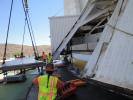
2010-11-03 | Earth |
Goldstone Deep Space Network (DSN) |
Deep Space Station 14 |
2560x1920x3 |
|
|||||
|
|
2010-11-03 | Earth |
Goldstone Deep Space Network (DSN) |
Deep Space Station 14 |
2560x1920x3 |
|
|||||
|
|
2010-11-03 | Earth |
Goldstone Deep Space Network (DSN) |
Deep Space Station 14 |
2560x1920x3 |
|
|||||
|
|
2010-11-03 | Earth |
Goldstone Deep Space Network (DSN) |
Deep Space Station 14 |
3264x2448x3 |
|
|||||
|
|
2010-11-03 | Earth |
Goldstone Deep Space Network (DSN) |
Deep Space Station 14 |
2448x3264x3 |

|
|||||
|
|
2010-11-03 | Earth |
Goldstone Deep Space Network (DSN) |
Deep Space Station 14 |
3264x2448x3 |
|
|||||
|
|
2010-11-03 | Earth |
Goldstone Deep Space Network (DSN) |
Deep Space Station 14 |
3872x2592x3 |
|
|||||
|
|
2010-11-03 | Earth |
Goldstone Deep Space Network (DSN) |
Deep Space Station 14 |
3872x2592x3 |
|
|||||
|
|
2010-11-03 | Earth |
Goldstone Deep Space Network (DSN) |
Deep Space Station 14 |
2592x3872x3 |
|
|||||
|
|
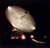
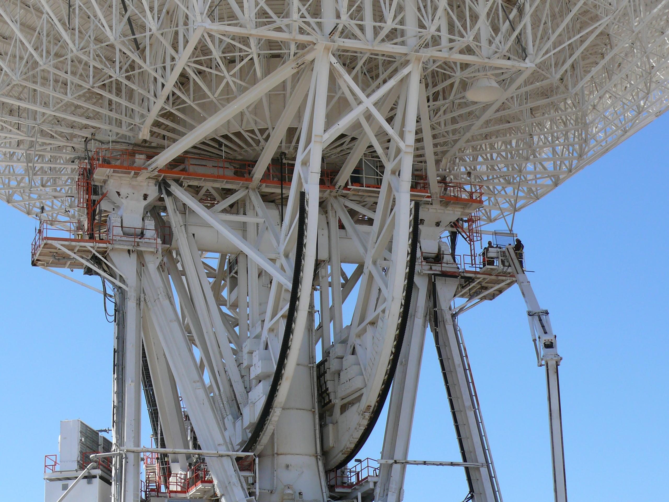
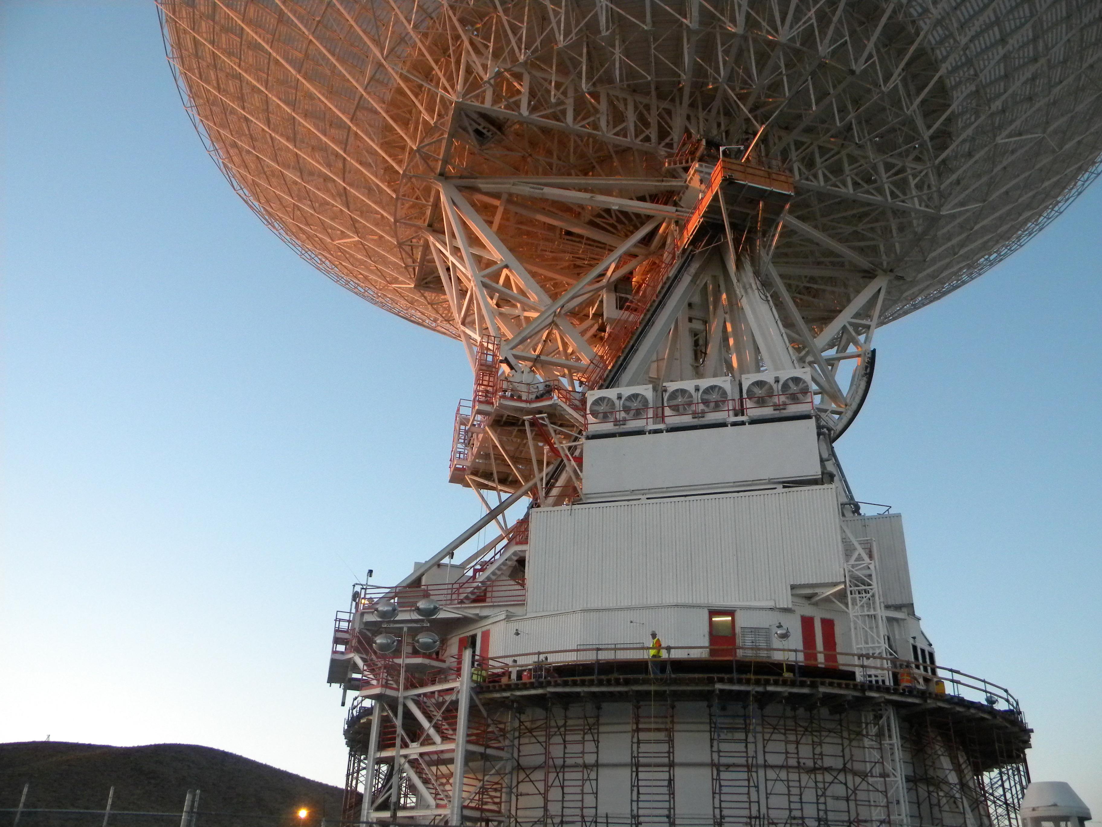
2008-07-06 | Earth |
Goldstone Deep Space Network (DSN) |
Deep Space Network Antenna |
1148x1119x3 |
|
|||||
|
|
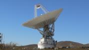
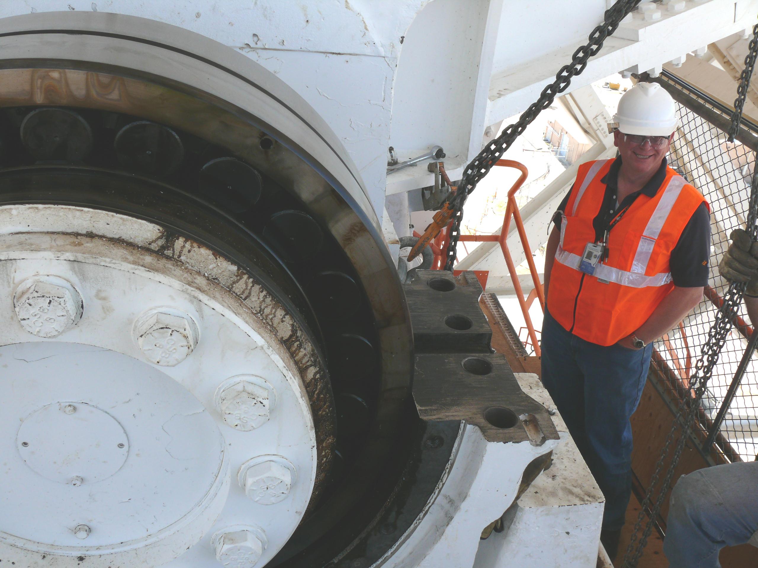
2010-07-15 | Earth |
Goldstone Deep Space Network (DSN) |
Deep Space Network Antenna |
3648x2736x3 |

|
|||||
|
|
2010-07-15 | Earth |
Goldstone Deep Space Network (DSN) |
Deep Space Network Antenna |
3648x2736x3 |
|
|||||
|
|
2010-07-15 | Earth |
Goldstone Deep Space Network (DSN) |
Deep Space Network Antenna |
3648x2736x3 |

|
|||||
|
|
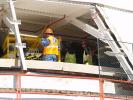
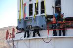
2010-08-25 | Earth |
Goldstone Deep Space Network (DSN) |
Deep Space Network Antenna |
1920x1080x3 |
|
|||||
|
|
2010-08-25 | Earth |
Goldstone Deep Space Network (DSN) |
Deep Space Network Antenna |
4000x3000x3 |
|
|||||
|
|
2010-08-25 | Earth |
Goldstone Deep Space Network (DSN) |
Deep Space Network Antenna |
4000x3000x3 |
|
|||||
|
|
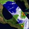
2022-09-28 | Earth |
COWVR |
COWVR TEMPEST |
1564x1527x3 |
|
|||||
|
|
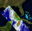
2023-02-23 | Earth |
COWVR |
COWVR TEMPEST |
1752x1526x3 |

|
|||||
|
|
2023-08-29 | Earth |
COWVR |
COWVR TEMPEST |
1576x1527x3 |
|
|||||
|
|
2023-08-29 | Earth |
COWVR |
COWVR TEMPEST |
1606x1527x3 |

|
|||||
|
|
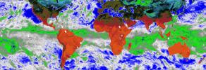
2022-02-08 | Earth |
COWVR |
Compact Ocean Wind Vector Radiometer (COWVR) |
8817x3019x3 |
|
|||||
|
|
2022-02-01 | Moon |
Cold Operable Lunar Deployable Arm (COLDArm) |
4032x3024x3 | |
|
|||||
|
|
2022-12-05 | Moon |
Cold Operable Lunar Deployable Arm (COLDArm) |
8256x5504x3 | |

|
|||||
|
|
2022-12-05 | Moon |
Cold Operable Lunar Deployable Arm (COLDArm) |
5504x8256x3 | |
|
|||||
|
|
2022-12-05 | Moon |
Cold Operable Lunar Deployable Arm (COLDArm) |
8256x5504x3 | |

|
|||||
|
|
2023-12-20 | Moon |
Cold Operable Lunar Deployable Arm (COLDArm) |
8272x6200x3 | |
|
|||||
|
|
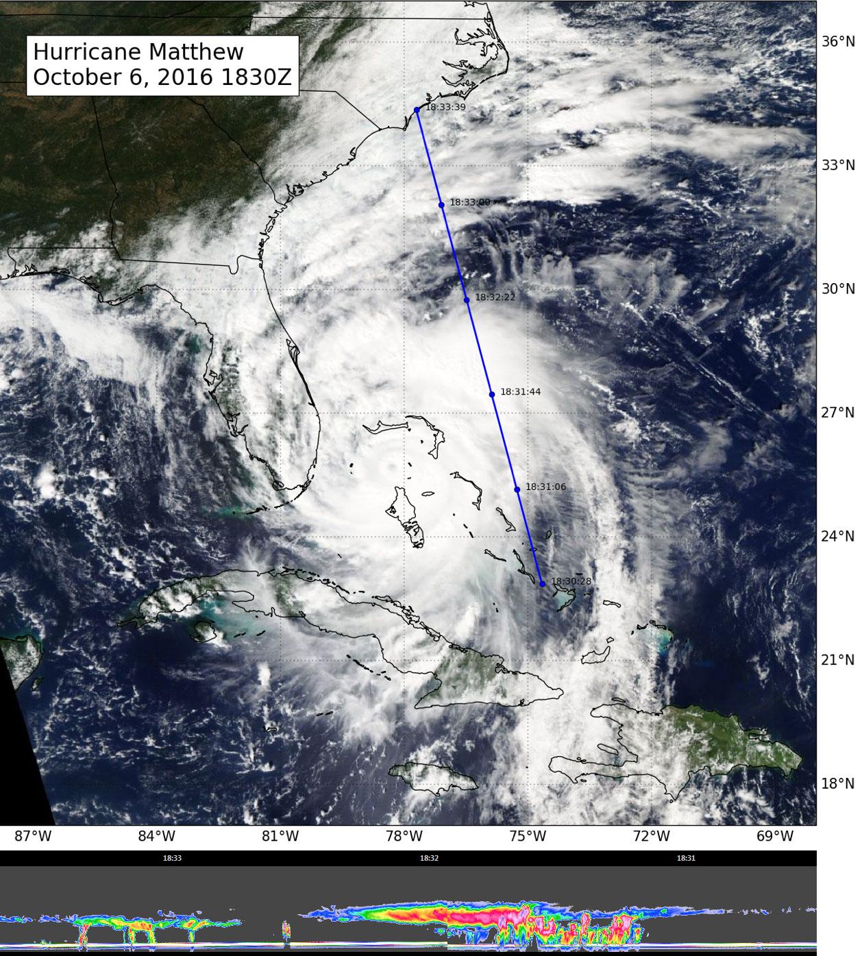
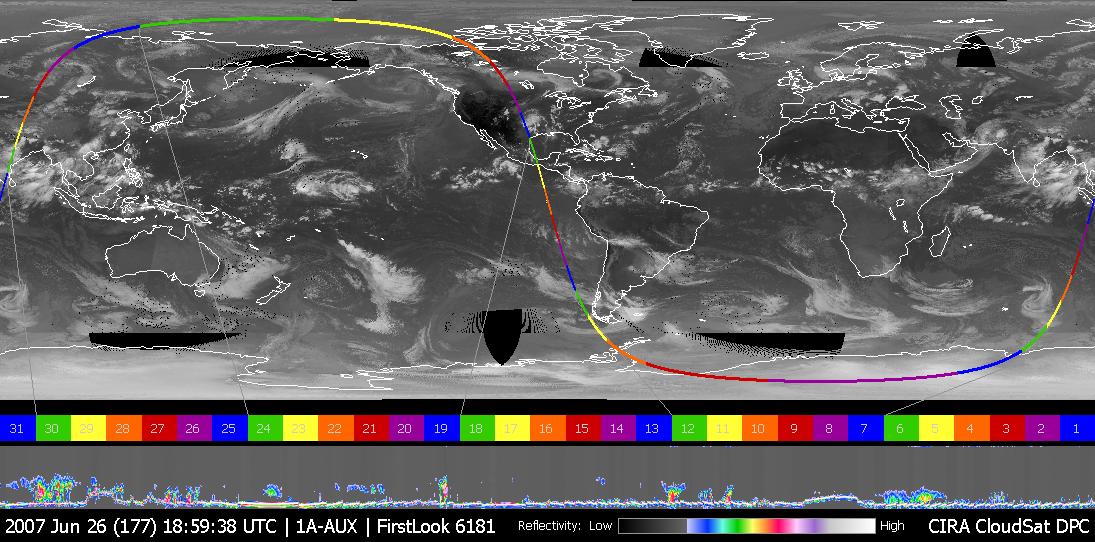
2016-10-07 | Earth |
CloudSat |
Cloudsat |
1258x1395x3 |
|
|||||
|
|
2010-08-19 | Earth |
CloudSat |
Cloud Profiling Radar (CPR) MODIS |
1055x1419x3 |

|
|||||
|
|
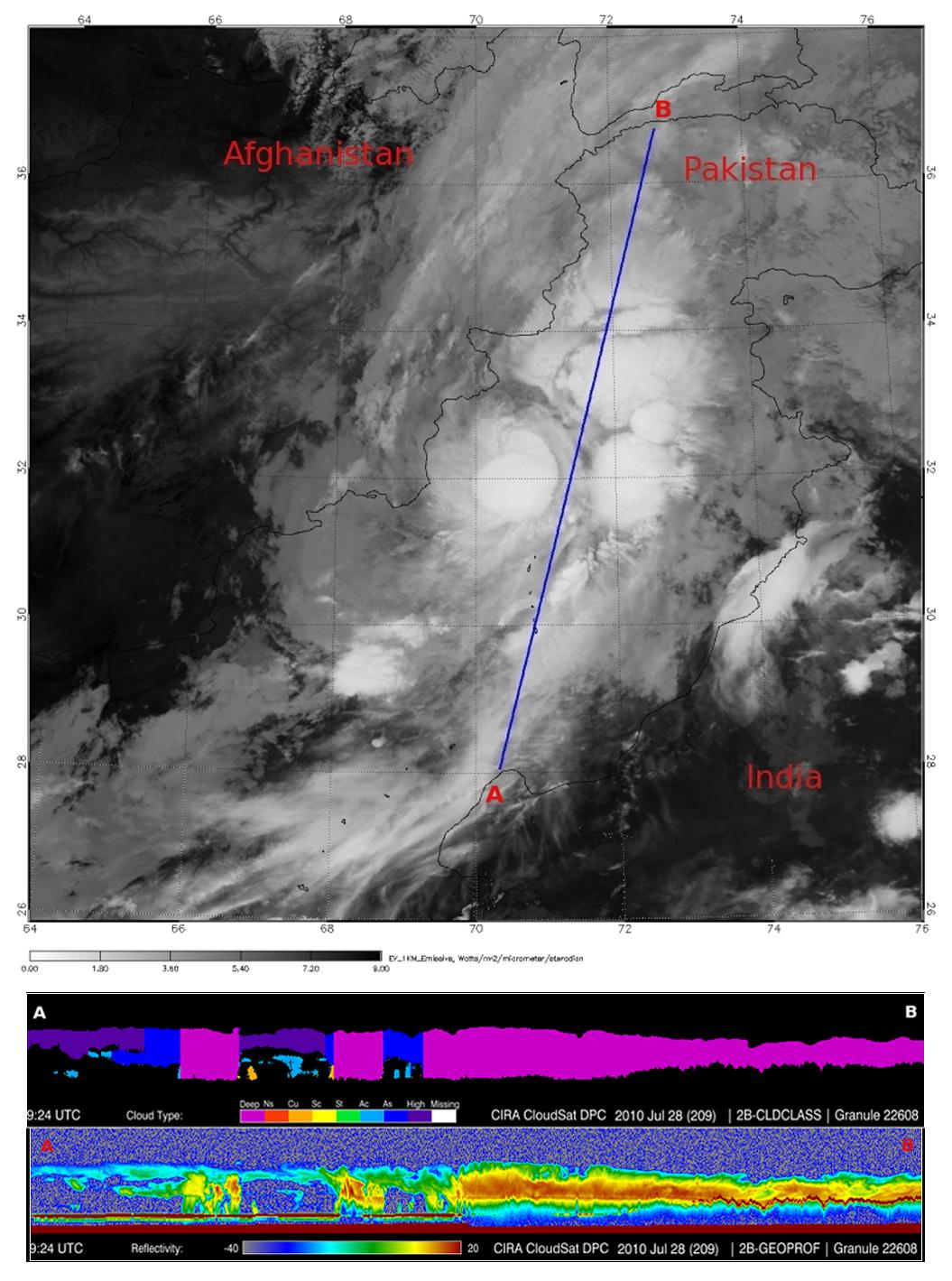
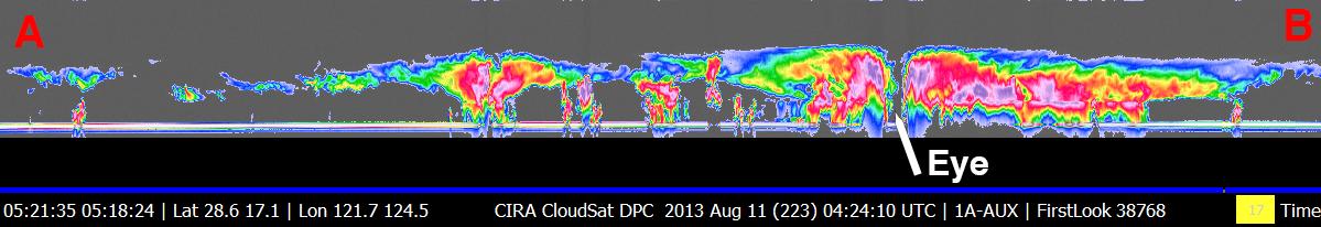
2013-08-22 | Earth |
CloudSat |
Cloud Profiling Radar (CPR) MODIS |
1199x206x3 |

|
|||||
|
|
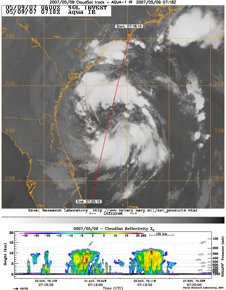
2007-05-10 | Earth |
CloudSat |
Cloud Profiling Radar (CPR) Moderate Resolution Imaging Spectroradiometer (MODIS) |
864x1108x3 |
|
|||||
|
|
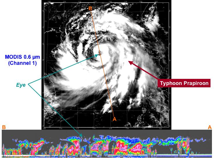
2007-06-07 | Earth |
CloudSat |
Cloud Profiling Radar (CPR) Moderate Resolution Imaging Spectroradiometer (MODIS) |
1277x1539x3 |
|
|||||
|
|
2006-06-06 | Earth |
CloudSat |
Cloud Profiling Radar (CPR) |
1190x209x3 |
|
|||||
|
|
2006-06-06 | Earth |
CloudSat |
Cloud Profiling Radar (CPR) |
1194x211x3 |
|
|||||
|
|
2006-06-06 | Earth |
CloudSat |
Cloud Profiling Radar (CPR) |
1188x208x3 |
|
|||||
|
|
2006-06-12 | Earth |
CloudSat |
Cloud Profiling Radar (CPR) |
600x105x3 |

|
|||||
|
|
2006-07-13 | Earth |
CloudSat |
Cloud Profiling Radar (CPR) |
940x162x3 |
|
|||||
|
|
2006-07-25 | Earth |
CloudSat |
Cloud Profiling Radar (CPR) |
960x498x3 |

|
|||||
|
|
2006-08-09 | Earth |
CloudSat |
Cloud Profiling Radar (CPR) |
733x541x3 |
|
|||||
|
|
2007-06-28 | Earth |
CloudSat |
Cloud Profiling Radar (CPR) |
1095x542x3 |
|
|||||
|
|
2008-02-08 | Earth |
CloudSat |
Cloud Profiling Radar (CPR) |
682x850x3 |
|
|||||
|
|
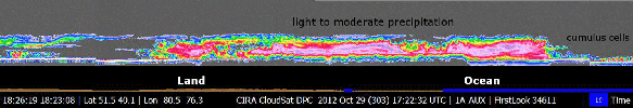
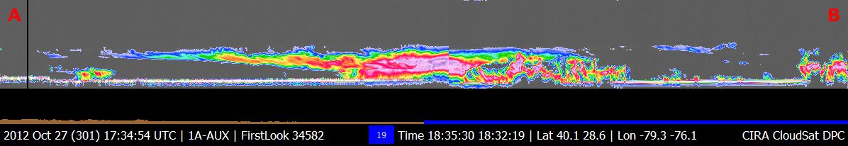
2012-10-30 | Earth |
CloudSat |
Cloud Profiling Radar (CPR) |
1201x206x3 |
|
|||||
|
|
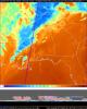
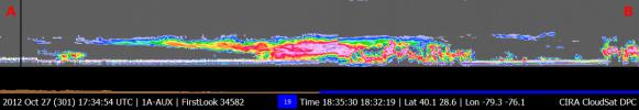
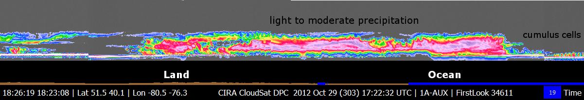
2012-10-29 | Earth |
CloudSat |
Cloud Profiling Radar (CPR) |
1196x206x3 |
|
|||||
|
|
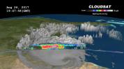
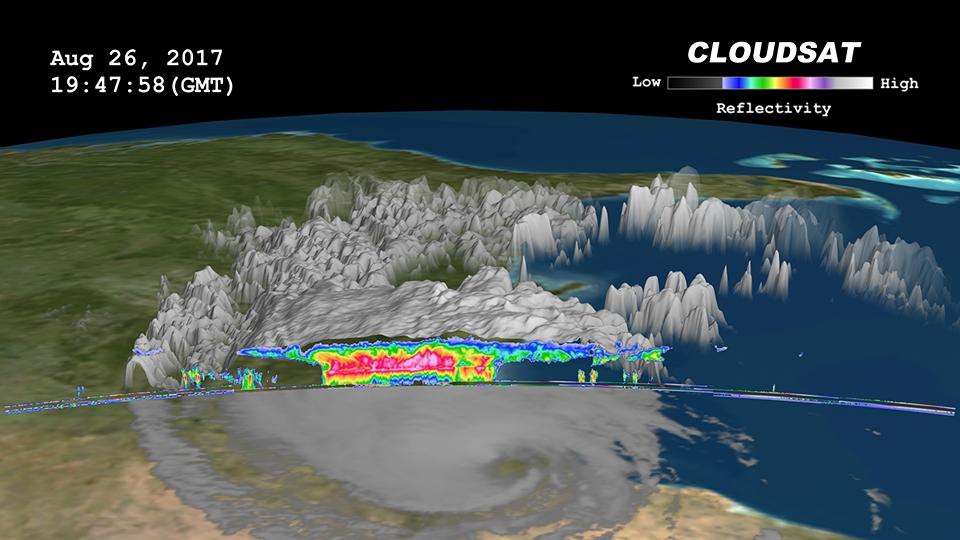
2017-08-29 | Earth |
CloudSat |
Cloud Profiling Radar (CPR) |
960x540x3 |
|
|||||
|
|
2017-09-08 | Earth |
CloudSat |
Cloud Profiling Radar (CPR) |
1672x938x3 |
|
|||||
|
|
2017-09-20 | Earth |
CloudSat |
Cloud Profiling Radar (CPR) |
1672x938x3 |
|
|||||
|
|
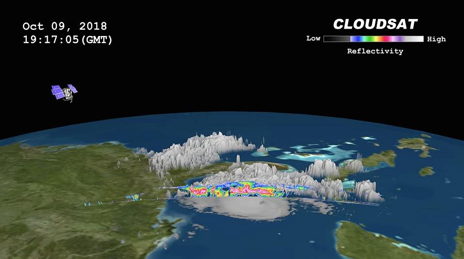
2018-10-11 | Earth |
CloudSat |
Cloud Profiling Radar (CPR) |
953x533x3 |
|
|||||
|
|
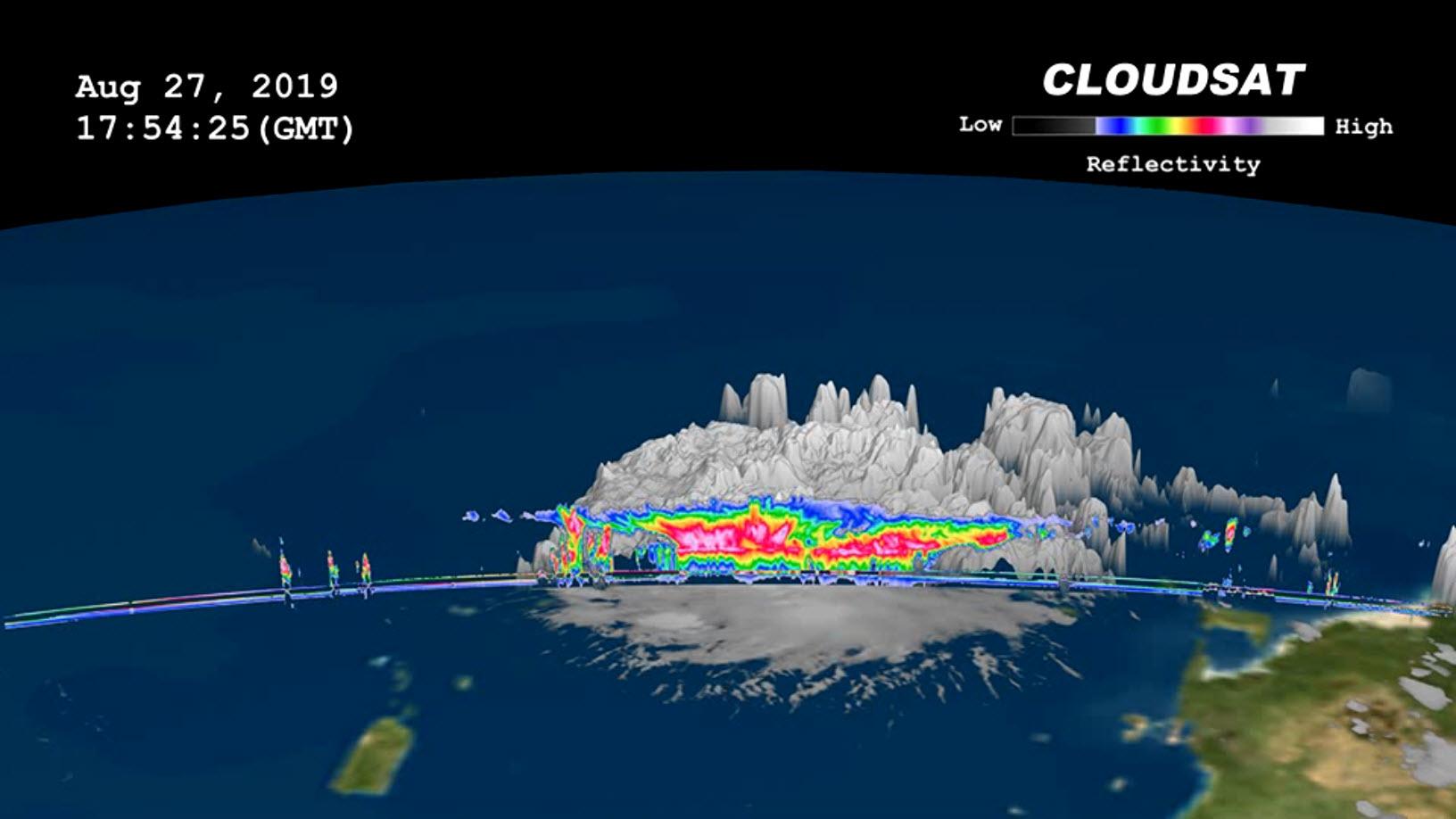
2019-08-29 | Earth |
CloudSat |
Cloud Profiling Radar (CPR) |
1632x918x3 |

|
|||||
|
|
2015-07-10 | Earth |
California Laboratory for Atmospheric Remote Sensing (CLARS) Hyperspectral Thermal Emission Spectrometer (HyTES) |
828x634x3 | |
|
|||||
|
|
2015-04-29 | Earth |
C-SAR Sensor |
2560x1504x3 | |
|
|||||
|
|
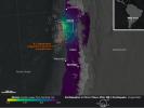
2015-05-02 | Earth |
ARIA |
C-SAR Sensor |
2048x1152x3 |

|
|||||
|
|
2015-10-12 | Earth |
Earth Observatory |
C-Band SAR |
898x676x3 |
|
|||||
|
|
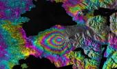
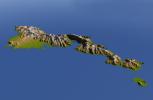
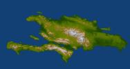
2009-10-01 | Earth |
Shuttle Radar Topography Mission (SRTM) |
C-Band Radar X-Band Radar |
2279x1486x3 |
|
|||||
|
|
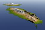
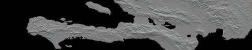
2009-10-01 | Earth |
Shuttle Radar Topography Mission (SRTM) |
C-Band Radar X-Band Radar |
2304x1533x3 |
|
|||||
|
|
2010-01-14 | Earth |
Shuttle Radar Topography Mission (SRTM) |
C-Band Radar X-Band Radar |
7900x4200x3 |
|
|||||
|
|
2010-01-14 | Earth |
Shuttle Radar Topography Mission (SRTM) |
C-Band Radar X-Band Radar |
6001x1201x3 |
|
|||||
|
|
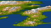
2010-01-14 | Earth |
Shuttle Radar Topography Mission (SRTM) |
C-Band Radar X-Band Radar |
2715x1522x3 |
|
|||||
|
|
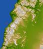
2010-03-04 | Earth |
Shuttle Radar Topography Mission (SRTM) |
C-Band Radar X-Band Radar |
4652x5365x3 |
|
|||||
|
|
2010-03-04 | Earth |
Shuttle Radar Topography Mission (SRTM) |
C-Band Radar X-Band Radar |
1168x806x3 |
|
|||||
|
|
2010-04-05 | Earth |
Shuttle Radar Topography Mission (SRTM) |
C-Band Radar X-Band Radar |
5793x6796x3 |
|
|||||
|
|
2010-04-05 | Earth |
Shuttle Radar Topography Mission (SRTM) |
C-Band Radar X-Band Radar |
1152x792x3 |
|
|||||
|
|
2011-03-11 | Earth |
Shuttle Radar Topography Mission (SRTM) |
C-Band Radar X-Band Radar |
6330x5879x3 |
|
|||||
|
|
2014-09-24 | Earth |
Shuttle Radar Topography Mission (SRTM) |
C-Band Radar X-Band Radar |
1074x651x1 |

|
|||||
|
|
2004-01-22 | Earth |
Shuttle Radar Topography Mission (SRTM) |
C-Band Radar X-Band Radar |
3020x1700x3 |
|
|||||

|
 |
|
|
|
|
|
|
|
|
 |

|
| 1-100 | 101-200 | 201-300 | 301-400 | 401-500 | 501-600 | 601-700 | 701-800 | 801-900 | 901-1000 |
| Currently displaying images: 901 - 1000 of 2593 |