|
Your search criteria found 2593 images Target is Earth (and available satellites) |
| My List |
Addition Date | Target | Mission |
Instrument
|
Size |

|
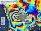
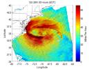
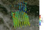
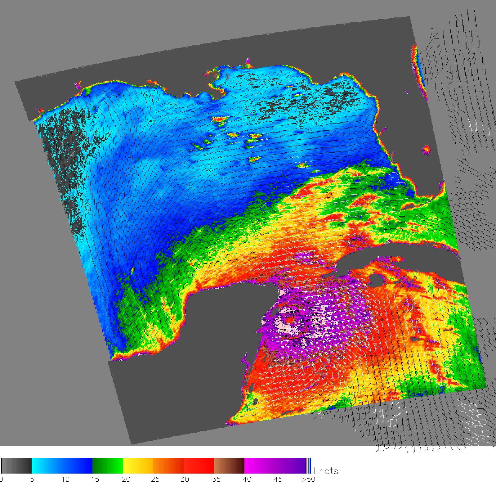
2004-12-09 | Earth |
QuikScat |
SeaWinds Scatterometer |
1414x1540x3 |
|
|||||
|
|
2005-03-03 | Earth |
QuikScat |
SeaWinds Scatterometer |
1456x1548x3 |
|
|||||
|
|
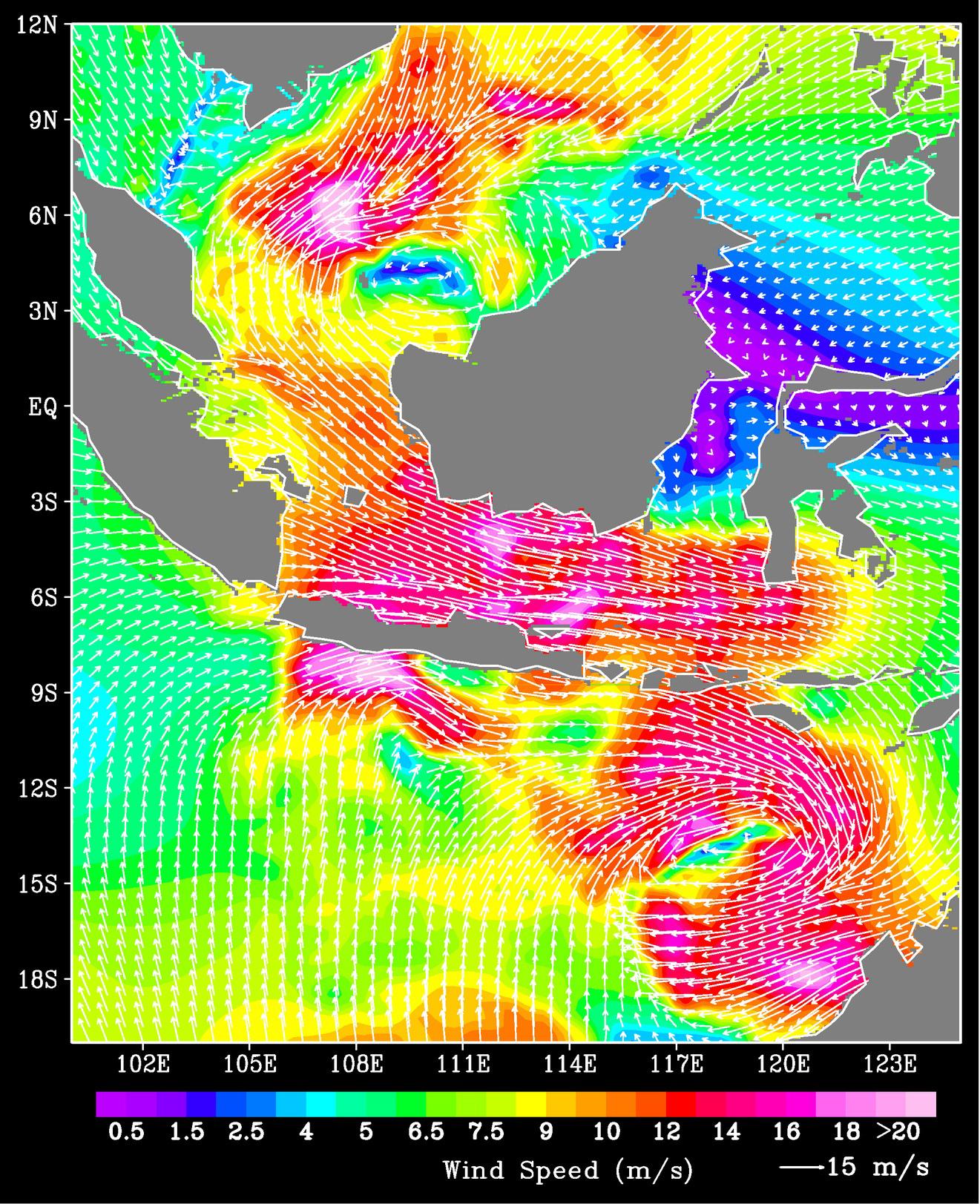
2005-07-18 | Earth |
QuikScat |
SeaWinds Scatterometer |
1280x1440x3 |
|
|||||
|
|
2005-07-18 | Earth |
QuikScat |
SeaWinds Scatterometer |
1535x1575x3 |
|
|||||
|
|
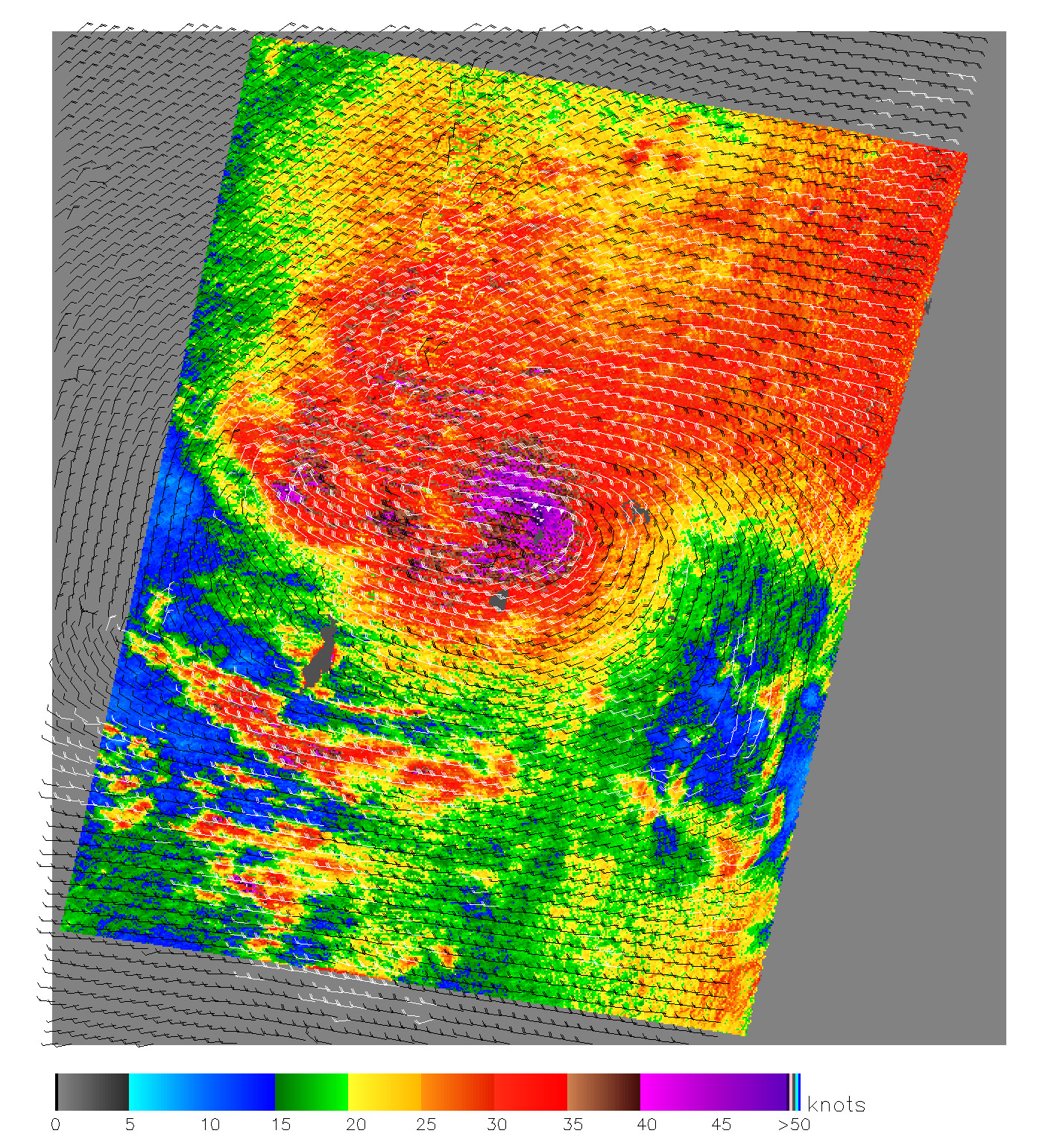
2005-08-25 | Earth |
QuikScat |
SeaWinds Scatterometer |
835x773x3 |
|
|||||
|
|
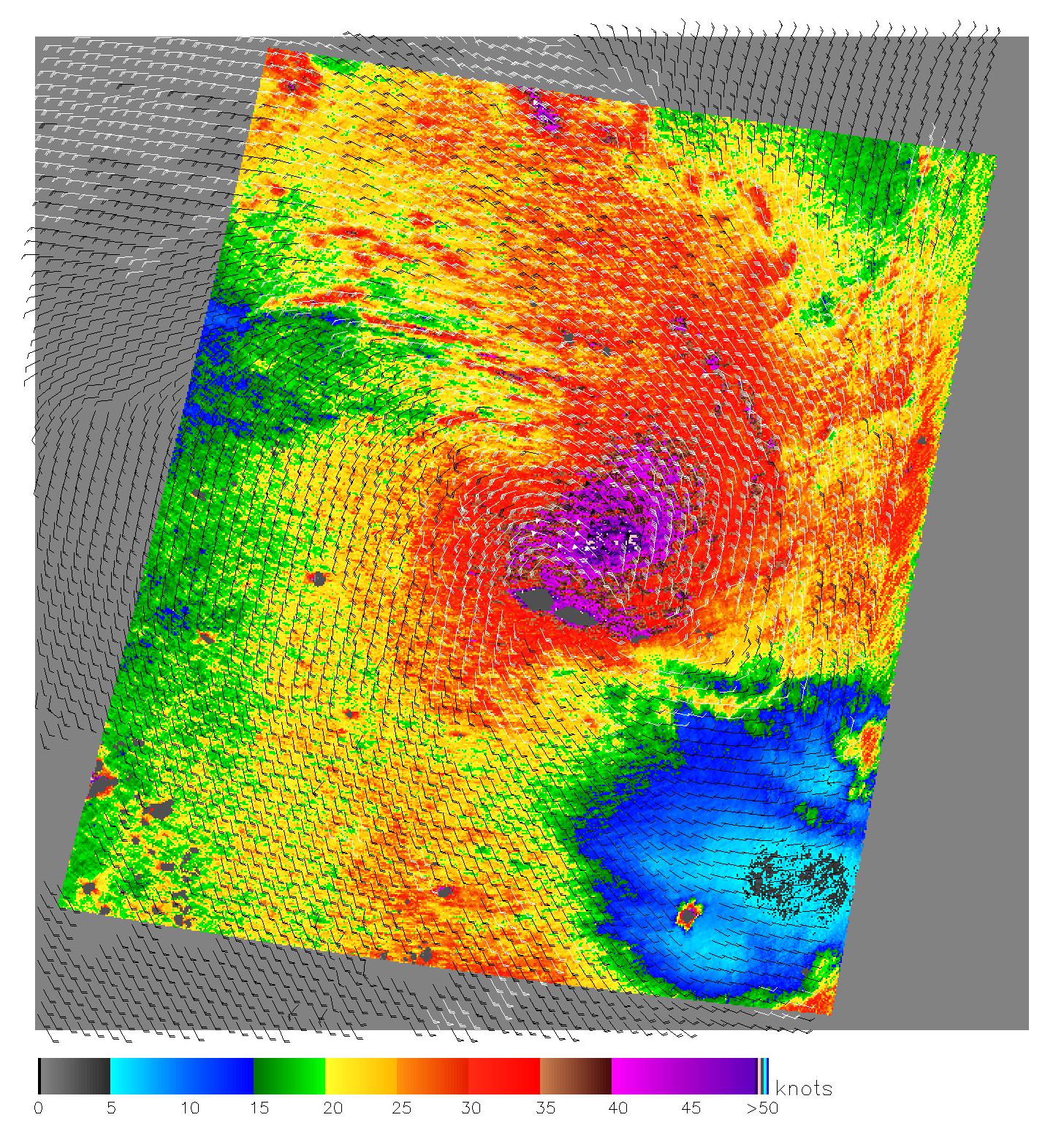
2005-08-29 | Earth |
QuikScat |
SeaWinds Scatterometer |
1272x1531x3 |
|
|||||
|
|
2005-10-12 | Earth |
QuikScat |
SeaWinds Scatterometer |
3869x2421x3 |
|
|||||
|
|
2005-10-21 | Earth |
QuikScat |
SeaWinds Scatterometer |
1599x1566x3 |
|
|||||
|
|
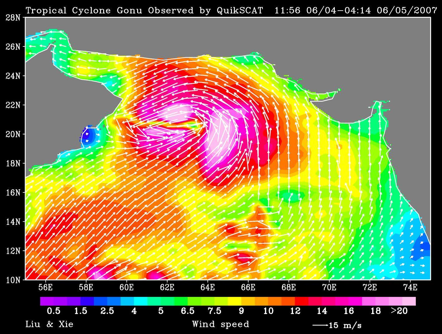
2007-01-09 | Earth |
QuikScat |
SeaWinds Scatterometer |
1321x1623x3 |
|
|||||
|
|
2007-06-06 | Earth |
QuikScat |
SeaWinds Scatterometer |
1418x1071x3 |
|
|||||
|
|
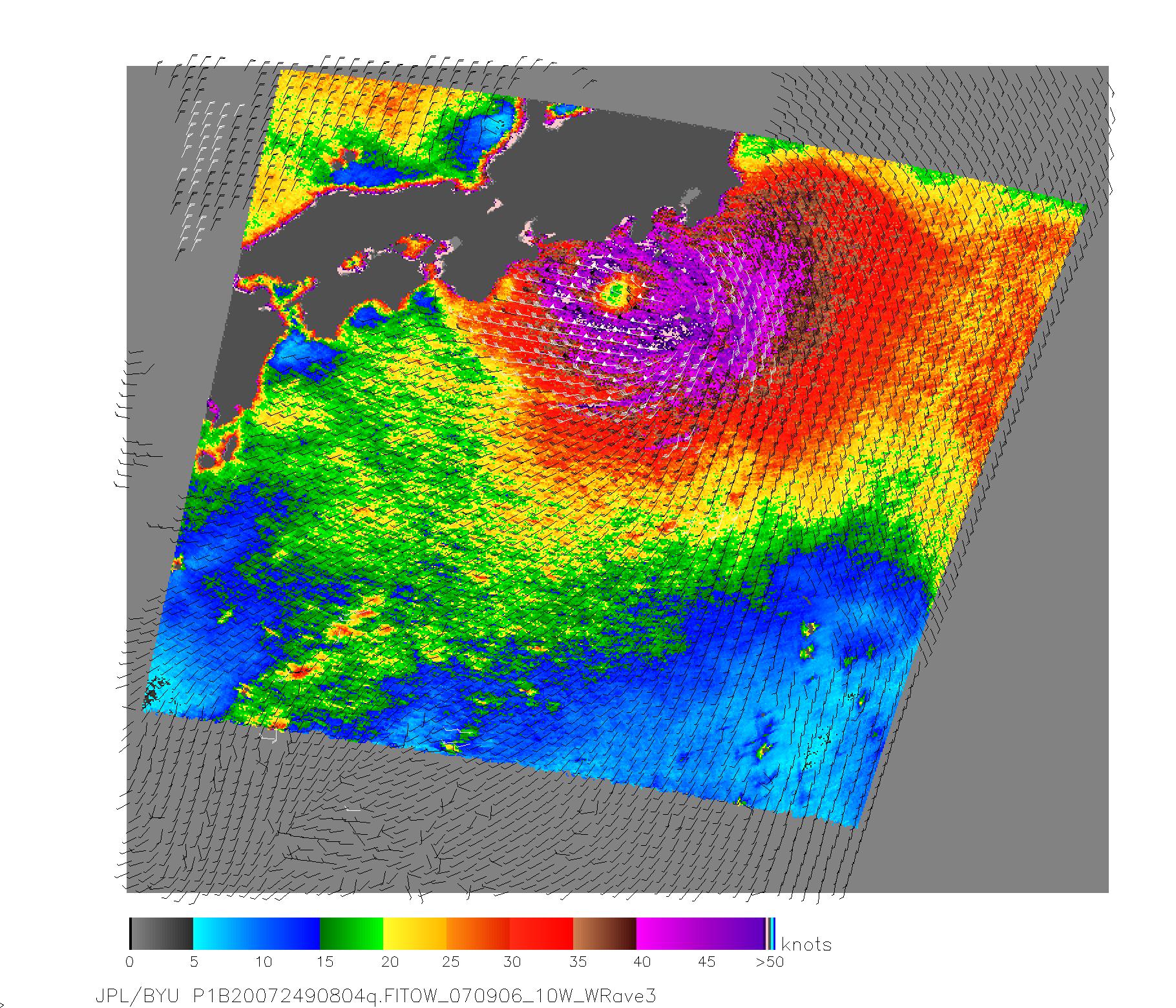
2007-09-07 | Earth |
QuikScat |
SeaWinds Scatterometer |
1820x1560x3 |
|
|||||
|
|
2007-10-23 | Earth |
QuikScat |
SeaWinds Scatterometer |
800x875x3 |

|
|||||
|
|
2008-09-11 | Earth |
QuikScat |
SeaWinds Scatterometer |
2344x926x3 |
|
|||||
|
|
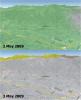
2009-05-08 | Earth |
QuikScat |
SeaWinds Scatterometer |
2367x2916x3 |
|
|||||
|
|
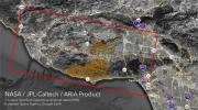
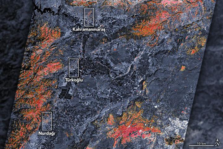
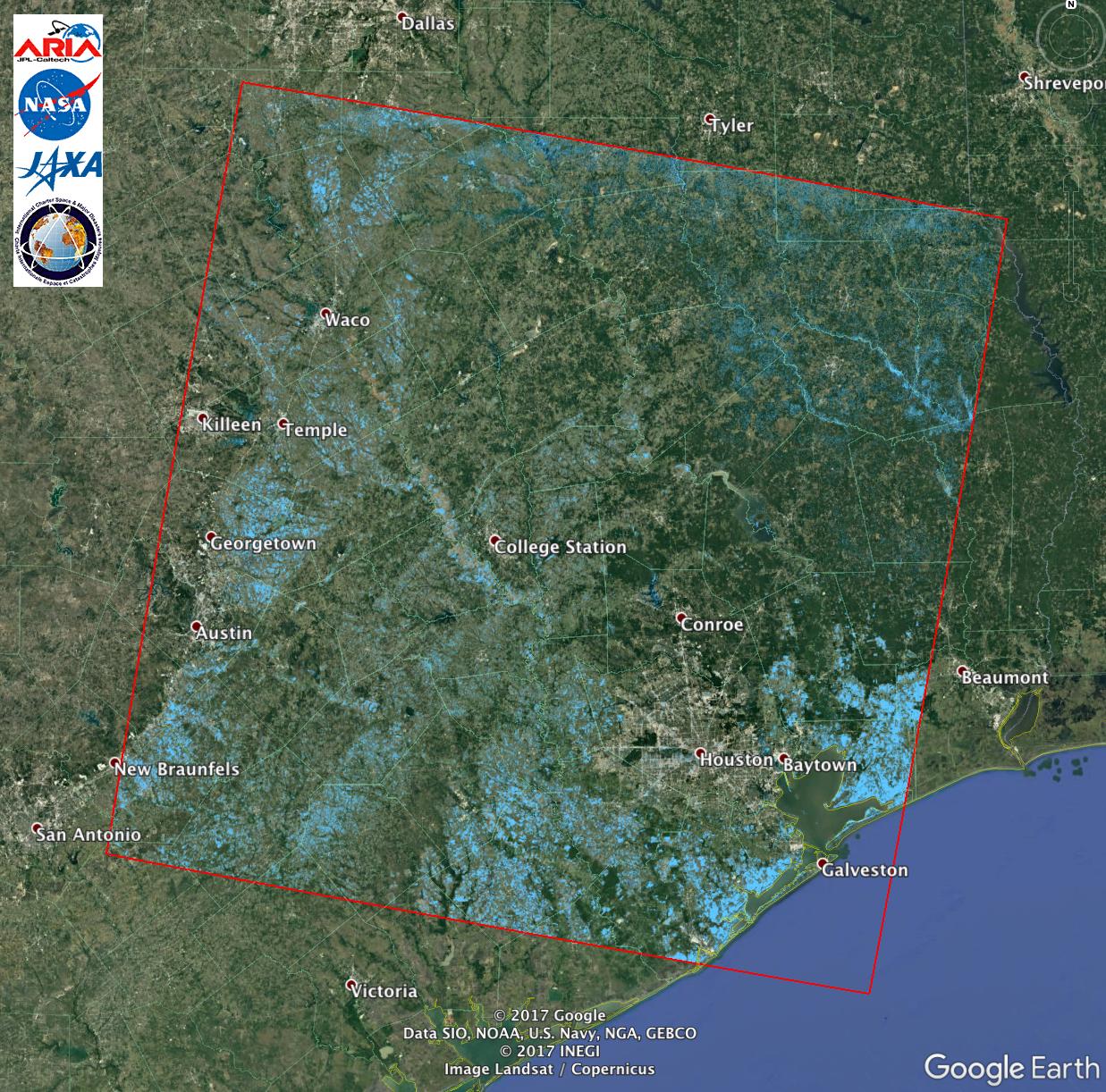
2018-11-12 | Earth |
ARIA |
SAR |
5176x2873x3 |
|
|||||
|
|
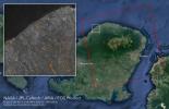
2018-09-05 | Earth |
ARIA |
SAR |
6776x4377x3 |
|
|||||
|
|
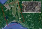
2018-09-10 | Earth |
ARIA |
SAR |
1377x964x3 |
|
|||||
|
|
2018-09-17 | Earth |
ARIA |
SAR |
1233x1125x3 |

|
|||||
|
|
2018-09-18 | Earth |
ARIA |
SAR |
1231x1077x3 |
|
|||||
|
|
2018-10-05 | Earth |
ARIA |
SAR |
5630x4092x3 |
|
|||||
|
|
2018-11-19 | Earth |
ARIA |
SAR |
5949x3249x3 |
|
|||||
|
|
2019-04-01 | Earth |
ARIA |
SAR |
3128x2180x3 |
|
|||||
|
|
2019-07-09 | Earth |
ARIA |
SAR |
1803x2176x3 |

|
|||||
|
|
2019-07-12 | Earth |
ARIA |
SAR |
2754x1965x3 |

|
|||||
|
|
2019-09-03 | Earth |
ARIA |
SAR |
6900x4772x3 |
|
|||||
|
|
2019-10-15 | Earth |
ARIA |
SAR |
3063x2249x3 |
|
|||||
|
|
2020-01-15 | Earth |
ARIA |
SAR |
2437x1918x3 |
|
|||||
|
|
2022-10-06 | Earth |
ARIA |
SAR |
4042x2475x3 |
|
|||||
|
|
2022-12-09 | Earth |
ARIA |
SAR |
3203x2451x3 |
|
|||||
|
|
2023-02-09 | Earth |
ARIA |
SAR |
720x480x3 |

|
|||||
|
|
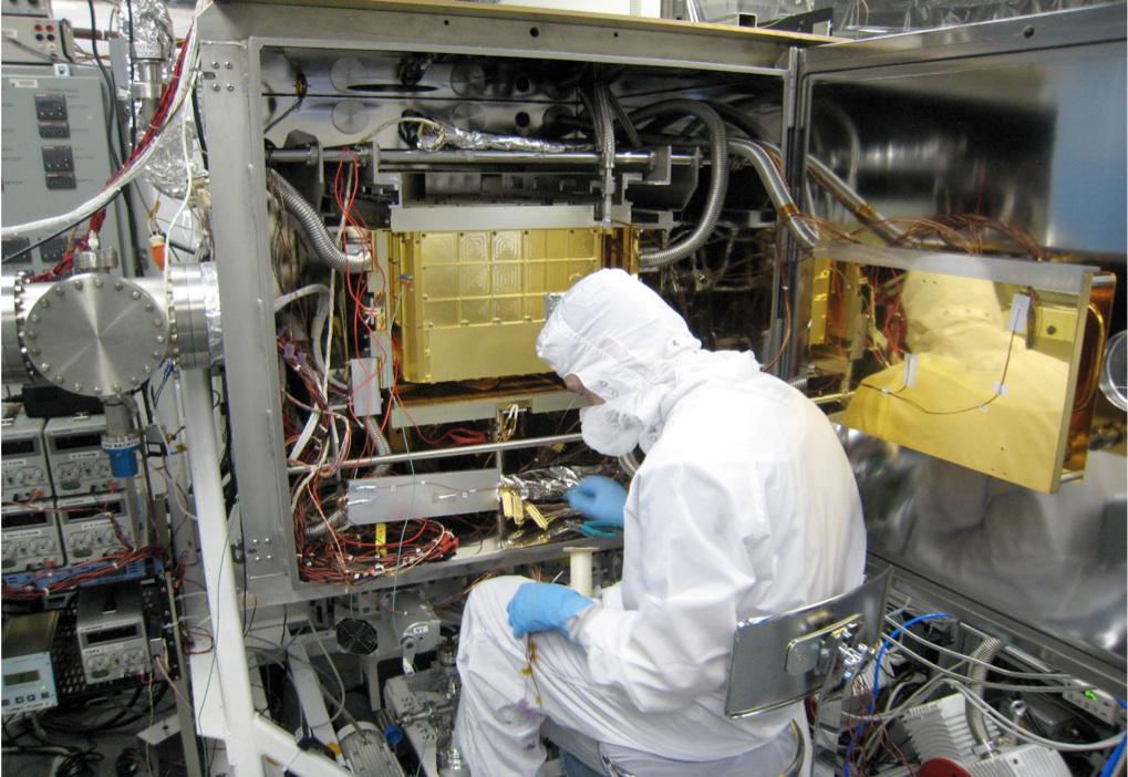
2015-03-31 | Earth |
Mars Science Laboratory (MSL) |
SAM |
1019x702x3 |

|
|||||
|
|
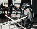
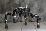
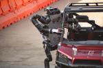
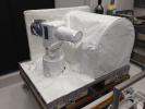
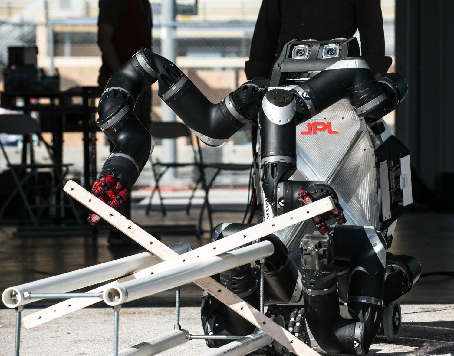
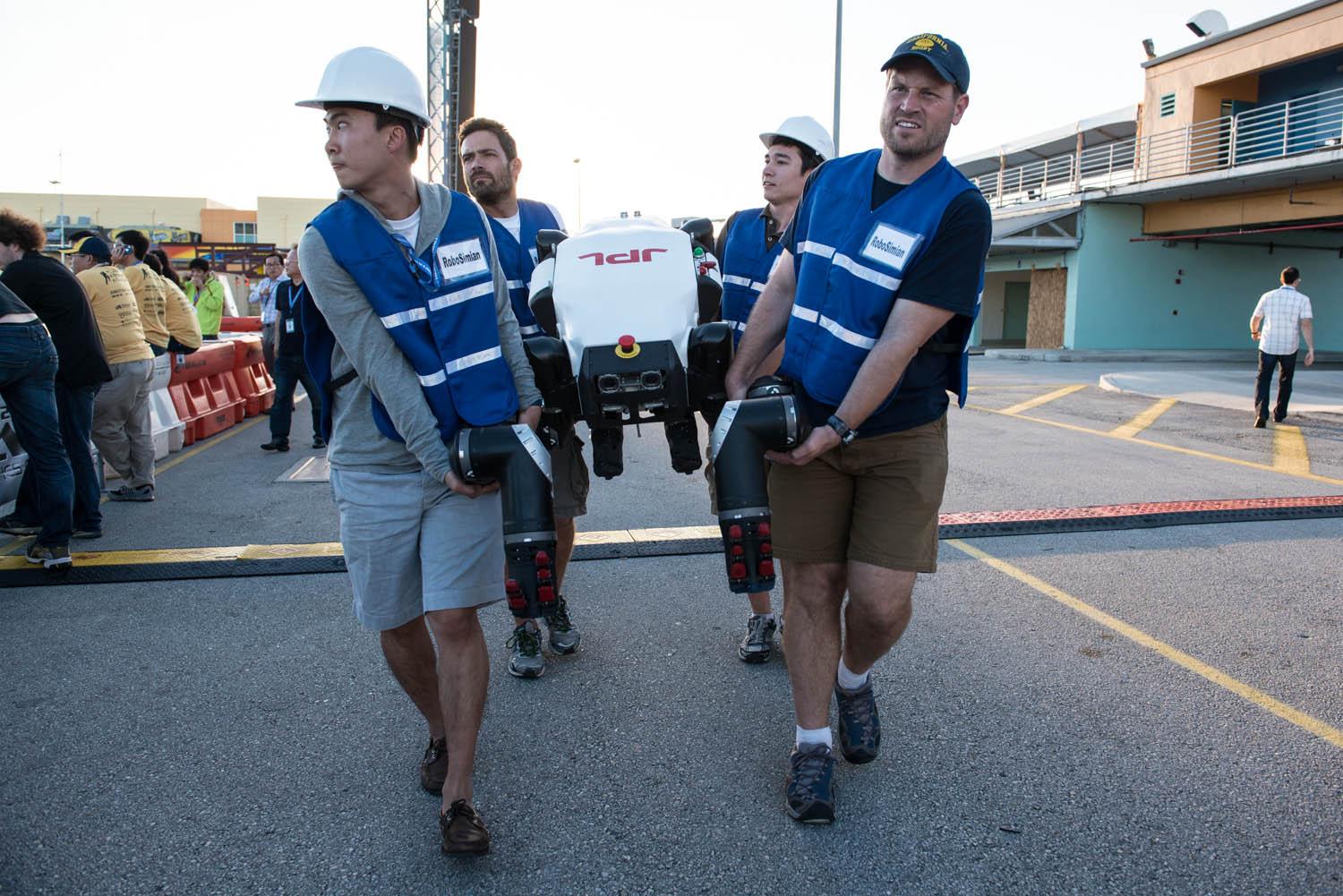
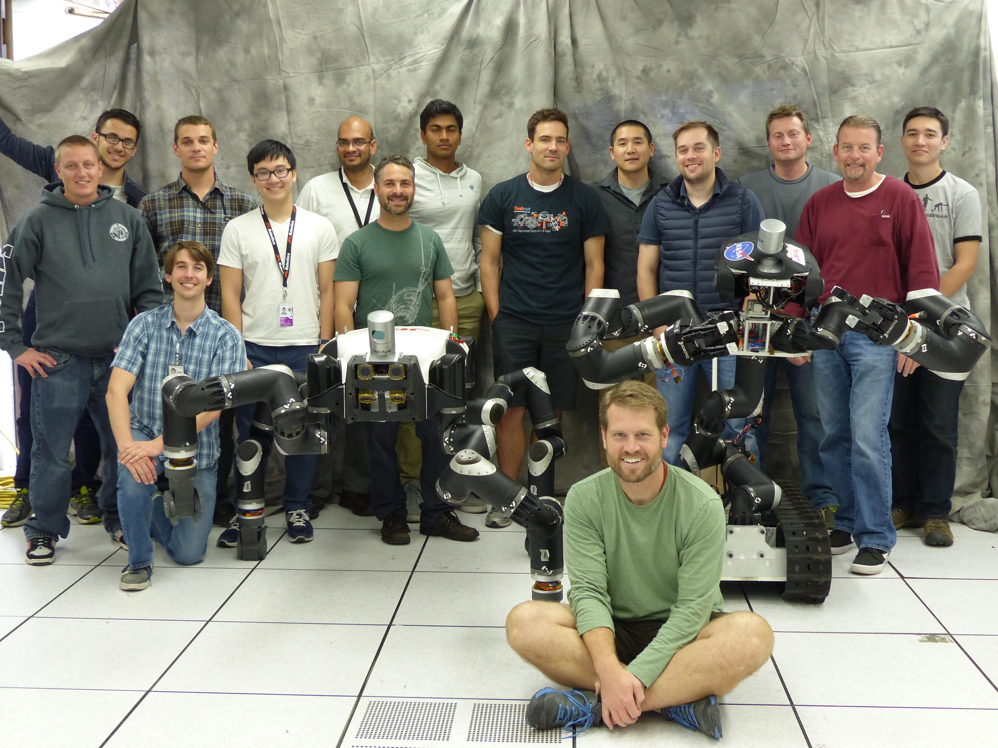
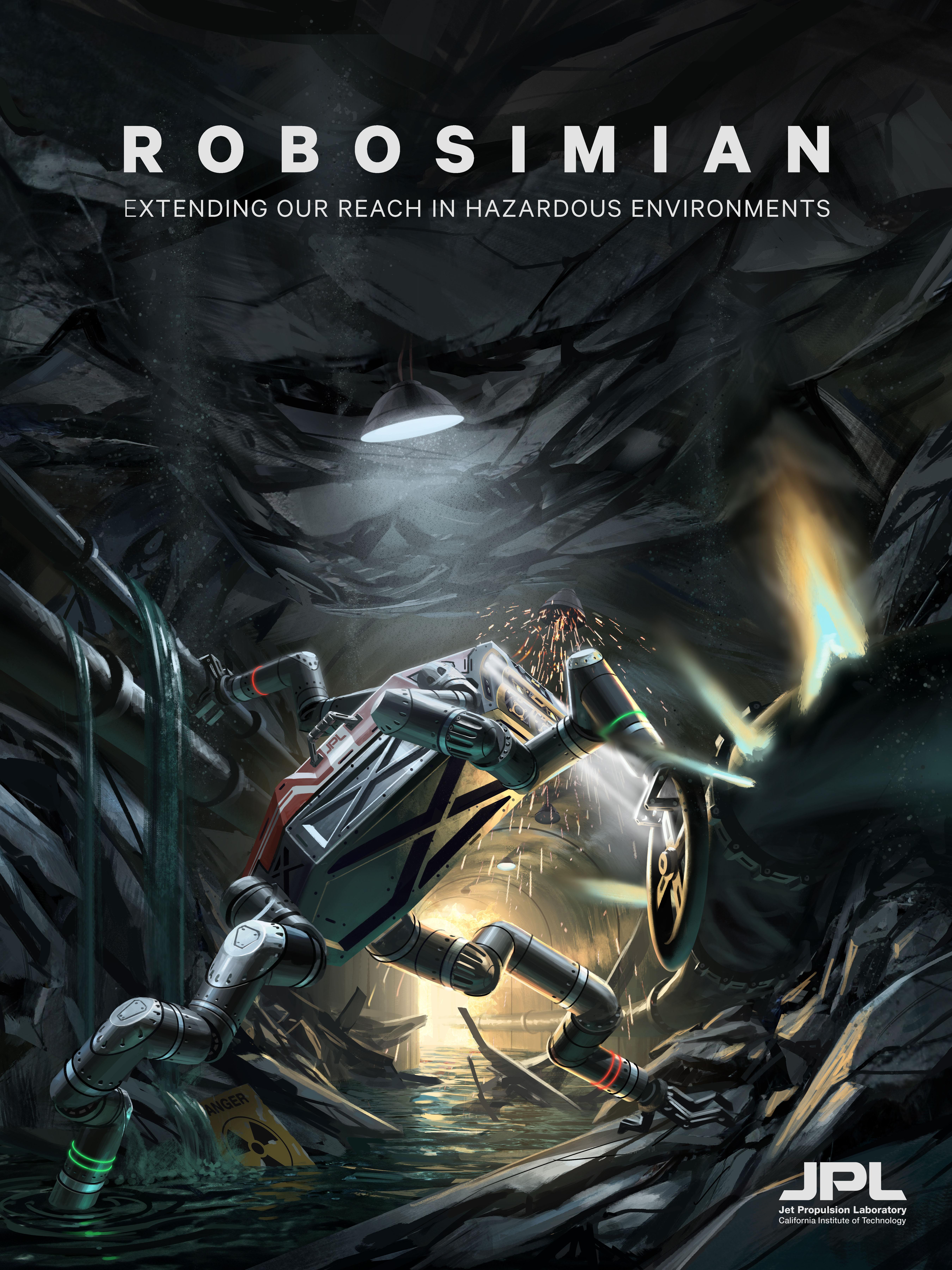
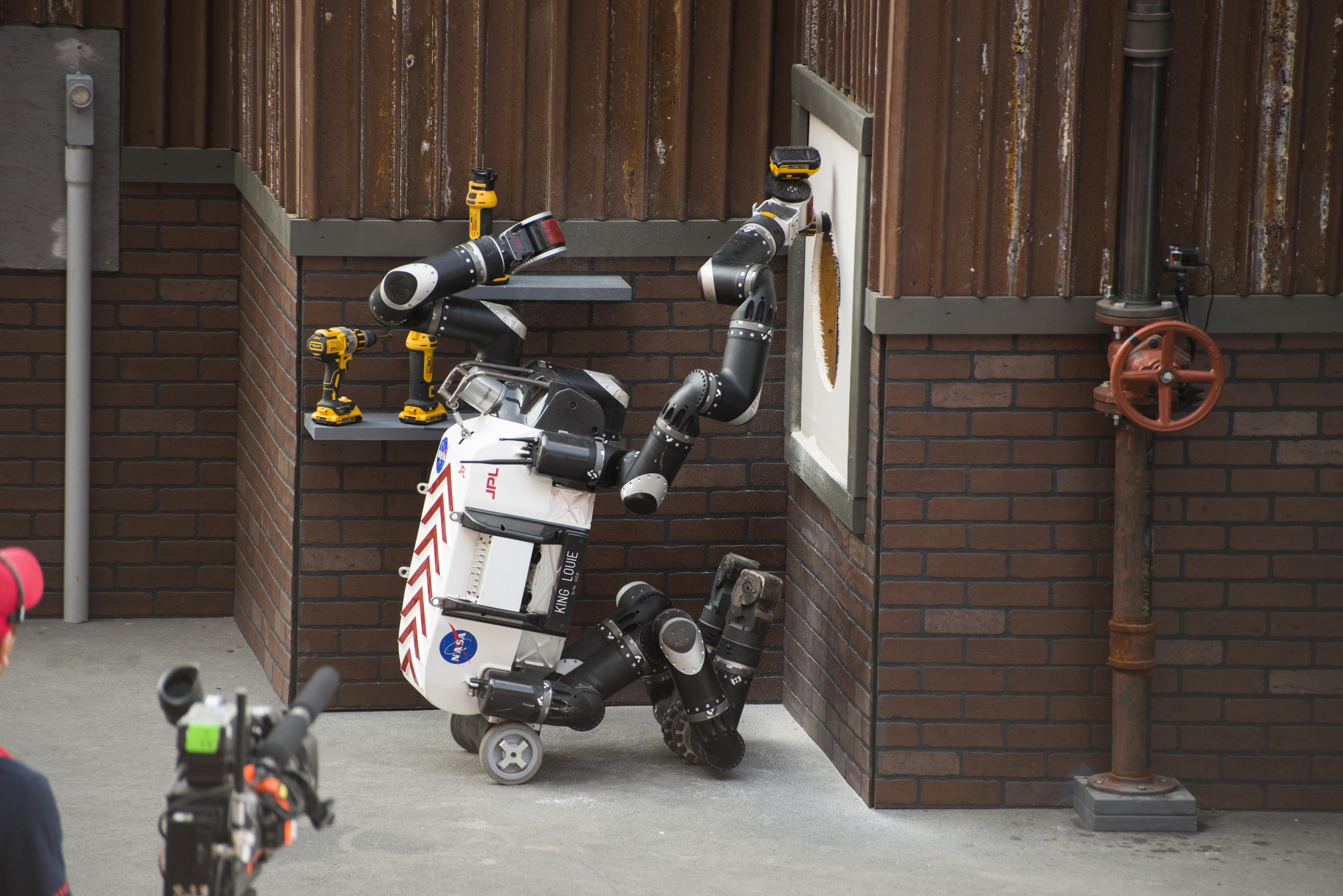
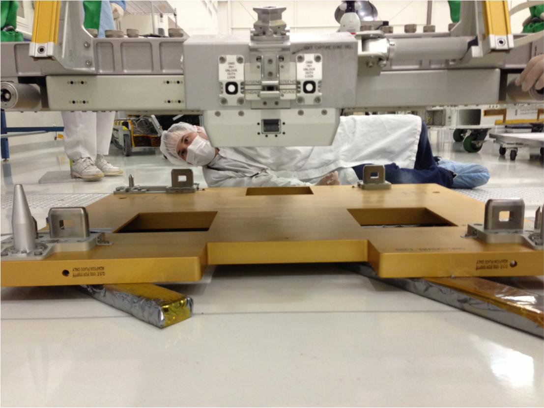
2014-07-16 | Earth |
RoboSimian |
1500x1177x3 | |
|
|||||
|
|
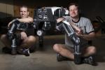
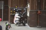
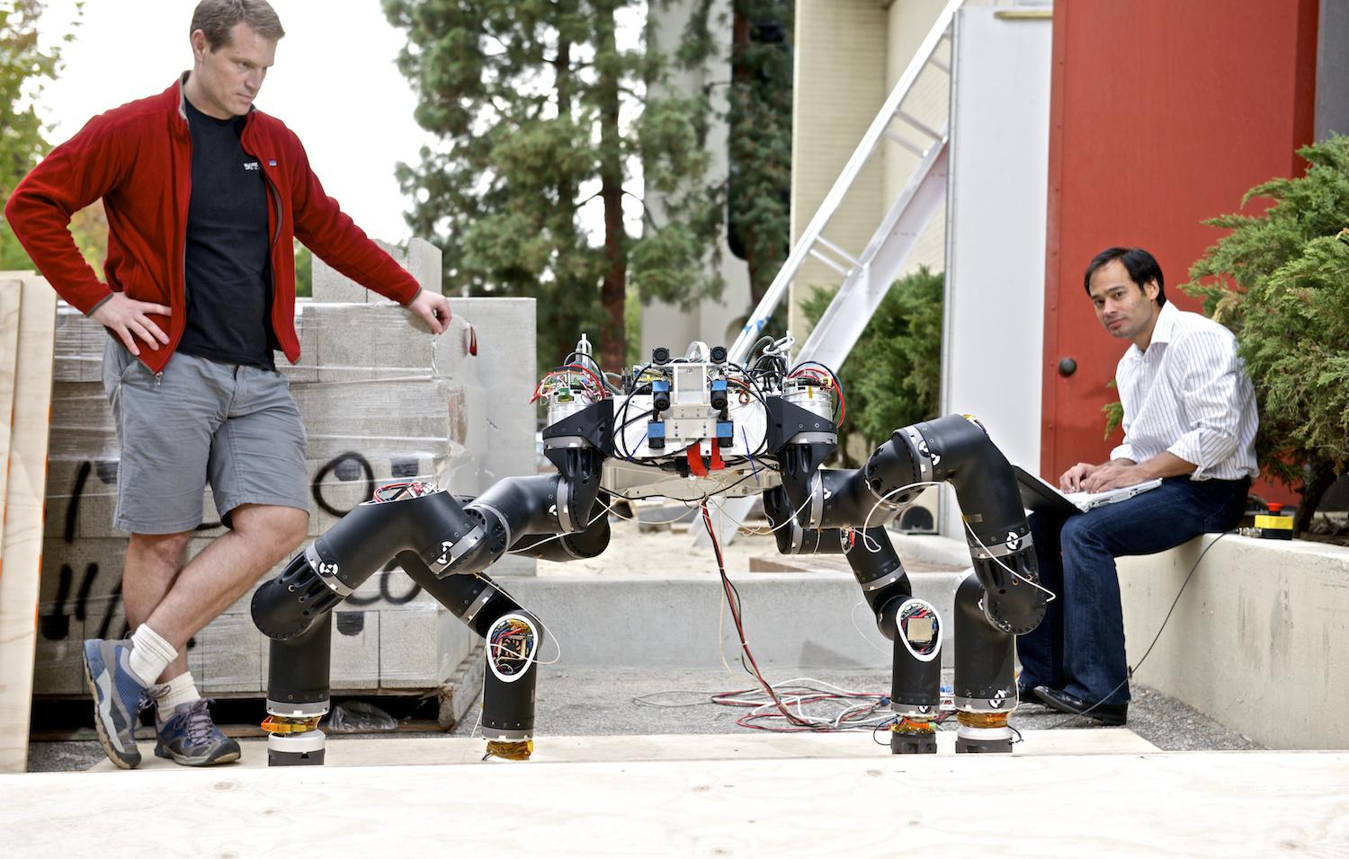
2014-07-16 | Earth |
RoboSimian |
2000x1335x3 | |
|
|||||
|
|
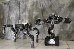
2014-07-16 | Earth |
RoboSimian |
1500x956x3 | |

|
|||||
|
|
2014-07-16 | Earth |
RoboSimian |
1500x1001x3 | |

|
|||||
|
|
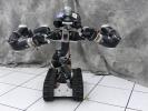
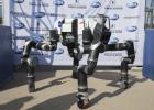
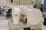
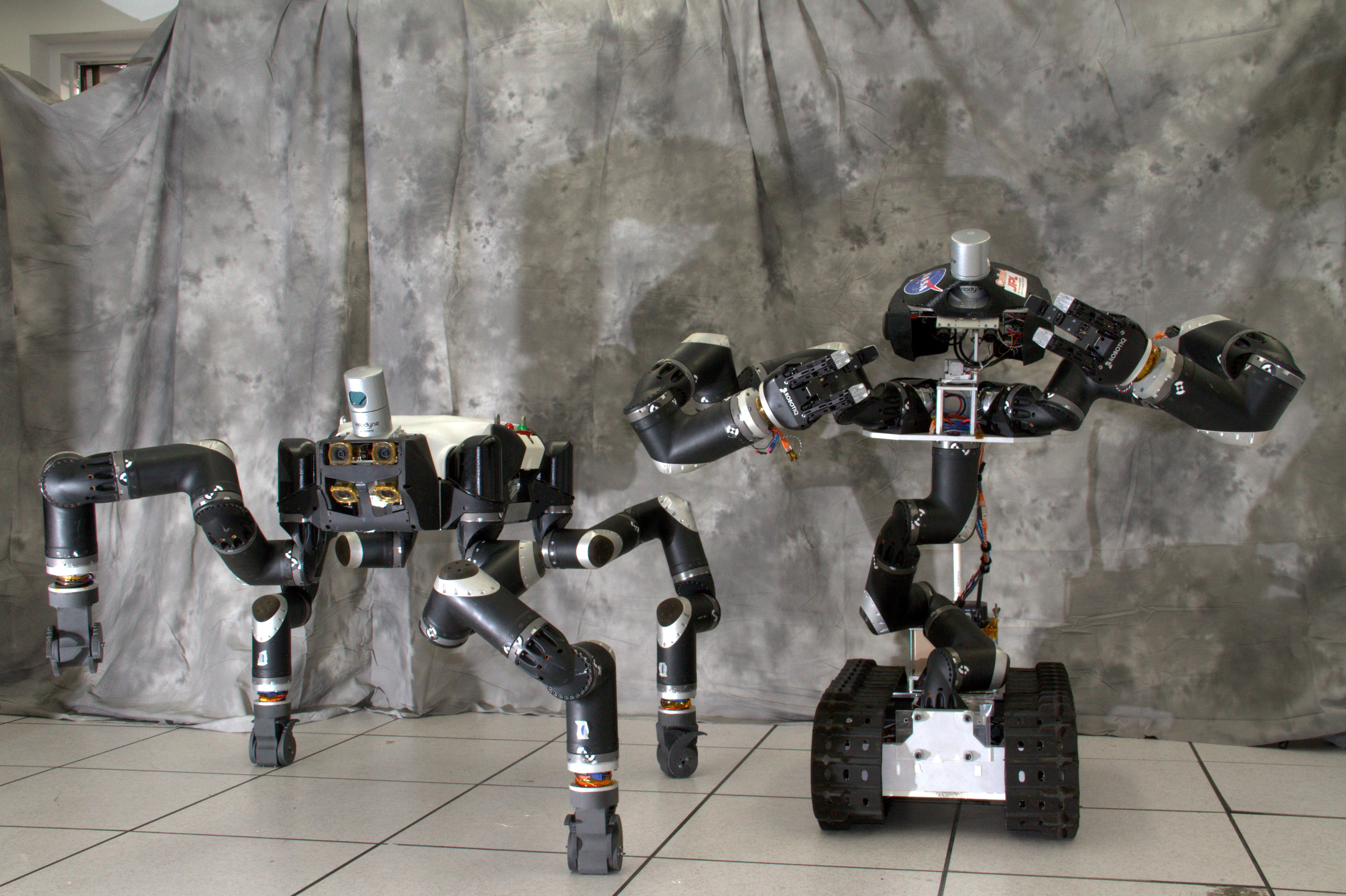
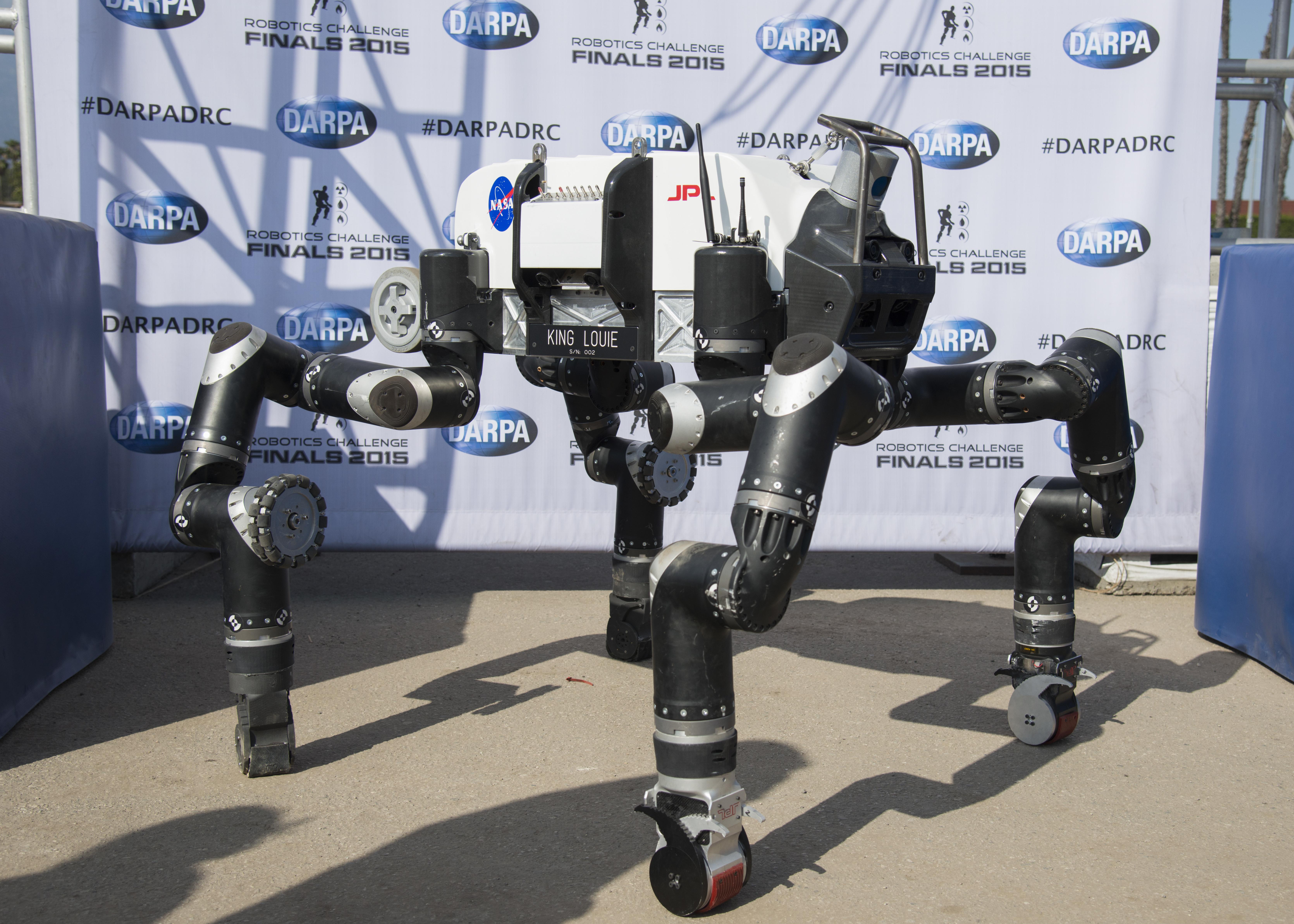
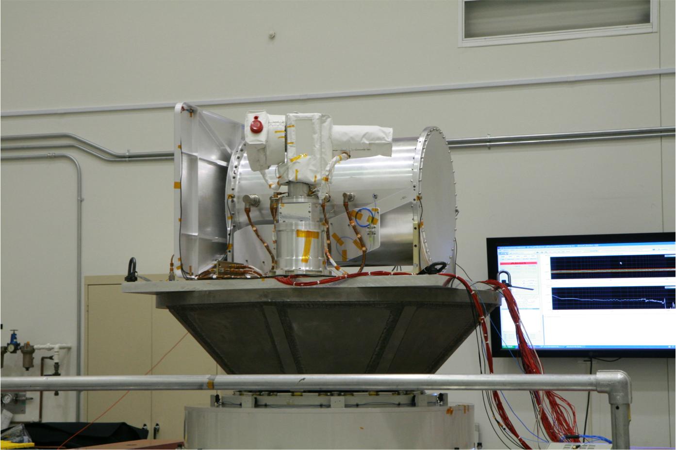
2014-12-09 | Earth |
RoboSimian |
5202x3465x3 | |
|
|||||
|
|
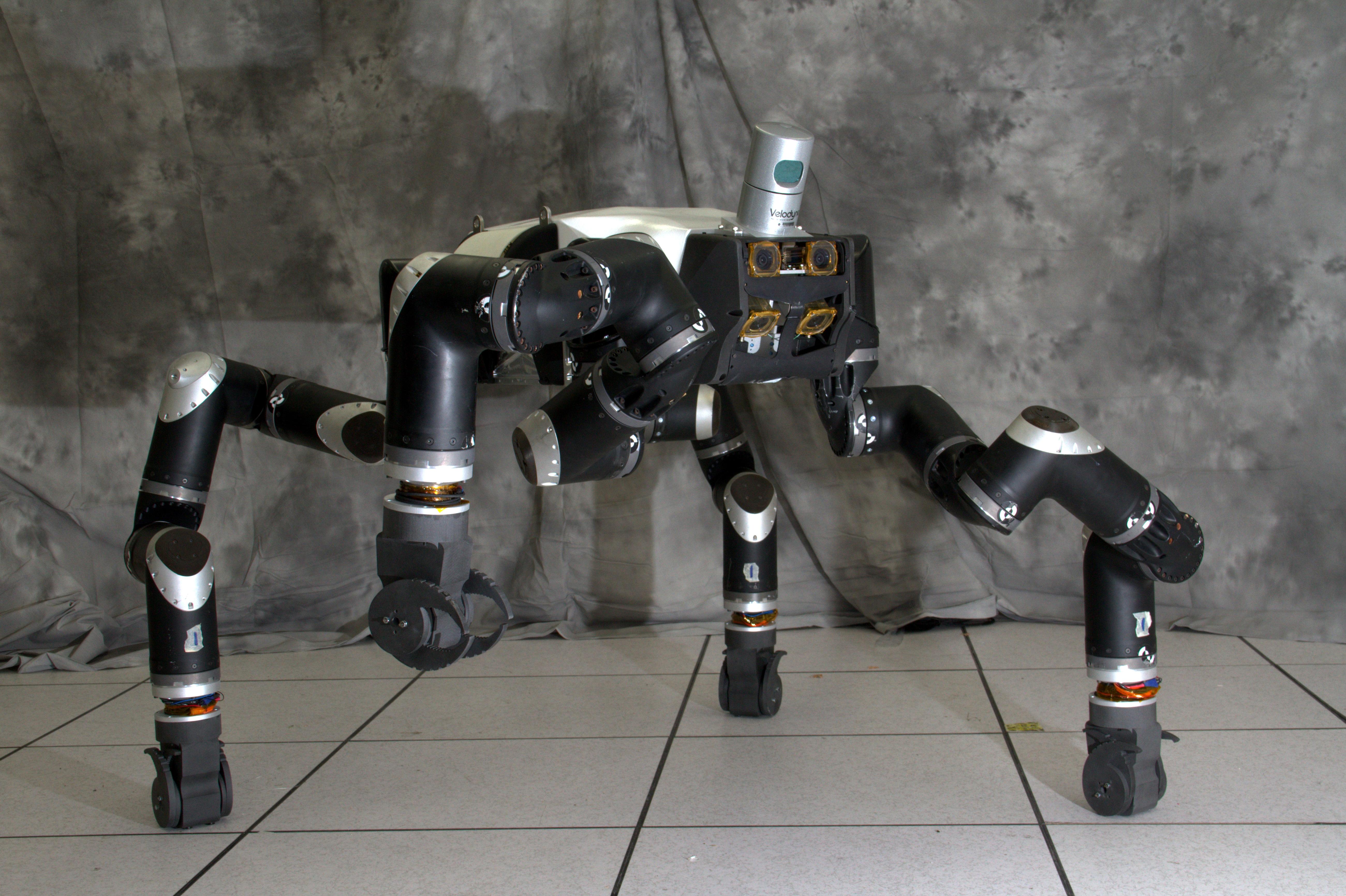
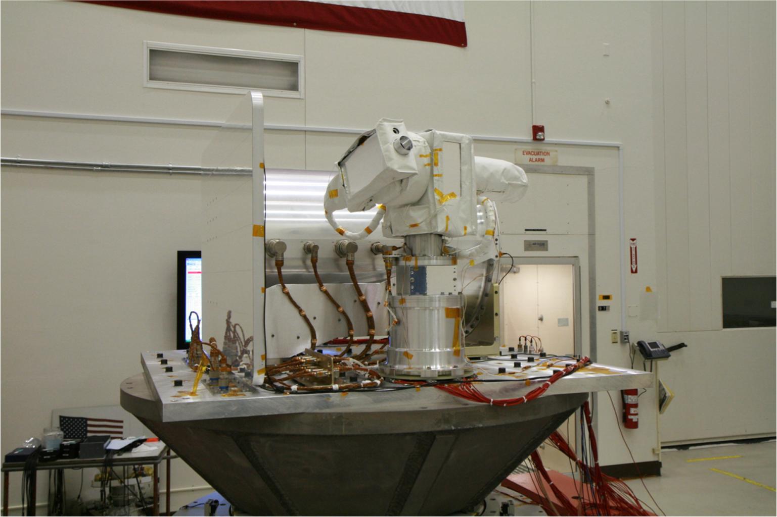
2014-12-09 | Earth |
RoboSimian |
5202x3465x3 | |
|
|||||
|
|
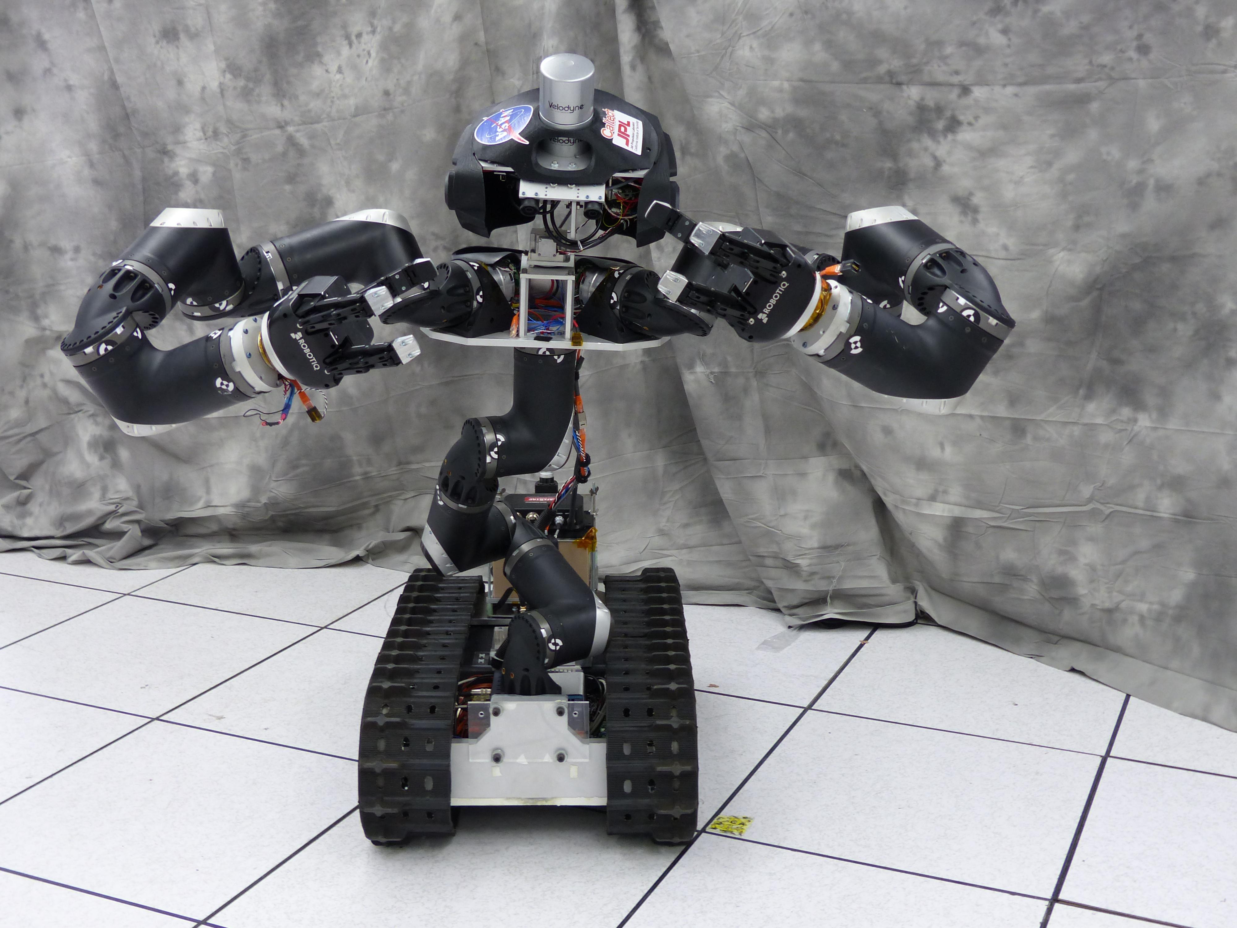
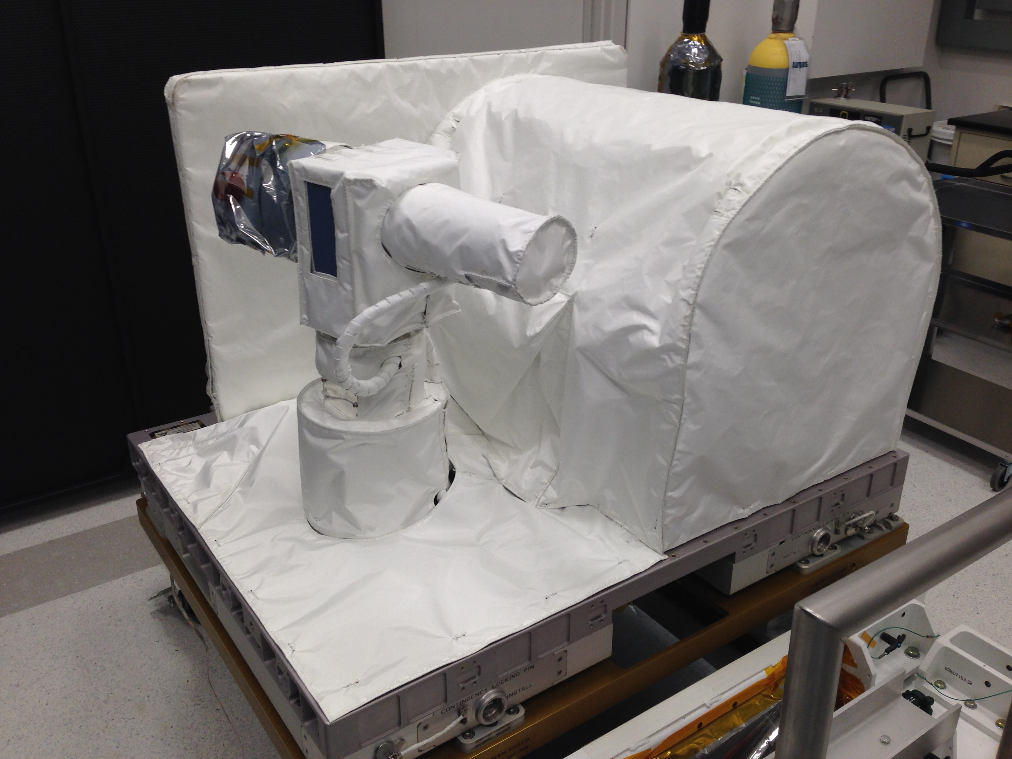
2014-12-09 | Earth |
RoboSimian |
4000x3000x3 | |
|
|||||
|
|
2014-12-09 | Earth |
RoboSimian |
4000x3000x3 | |
|
|||||
|
|
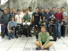
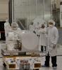
2015-03-11 | Earth |
RoboSimian |
5400x7200x3 | |
|
|||||
|
|
2015-03-11 | Earth |
RoboSimian |
7200x5400x3 | |

|
|||||
|
|
2015-03-11 | Earth |
RoboSimian |
5400x7200x3 | |

|
|||||
|
|
2015-06-09 | Earth |
RoboSimian |
7360x4912x3 | |
|
|||||
|
|
2015-06-09 | Earth |
RoboSimian |
5476x3911x3 | |
|
|||||
|
|
2015-06-09 | Earth |
RoboSimian |
7360x4912x3 | |
|
|||||
|
|
2015-06-09 | Earth |
RoboSimian |
7360x4912x3 | |

|
|||||
|
|
2015-06-09 | Earth |
RoboSimian |
6681x4772x3 | |
|
|||||
|
|
2015-06-09 | Earth |
RoboSimian |
2771x1979x3 | |
|
|||||
|
|
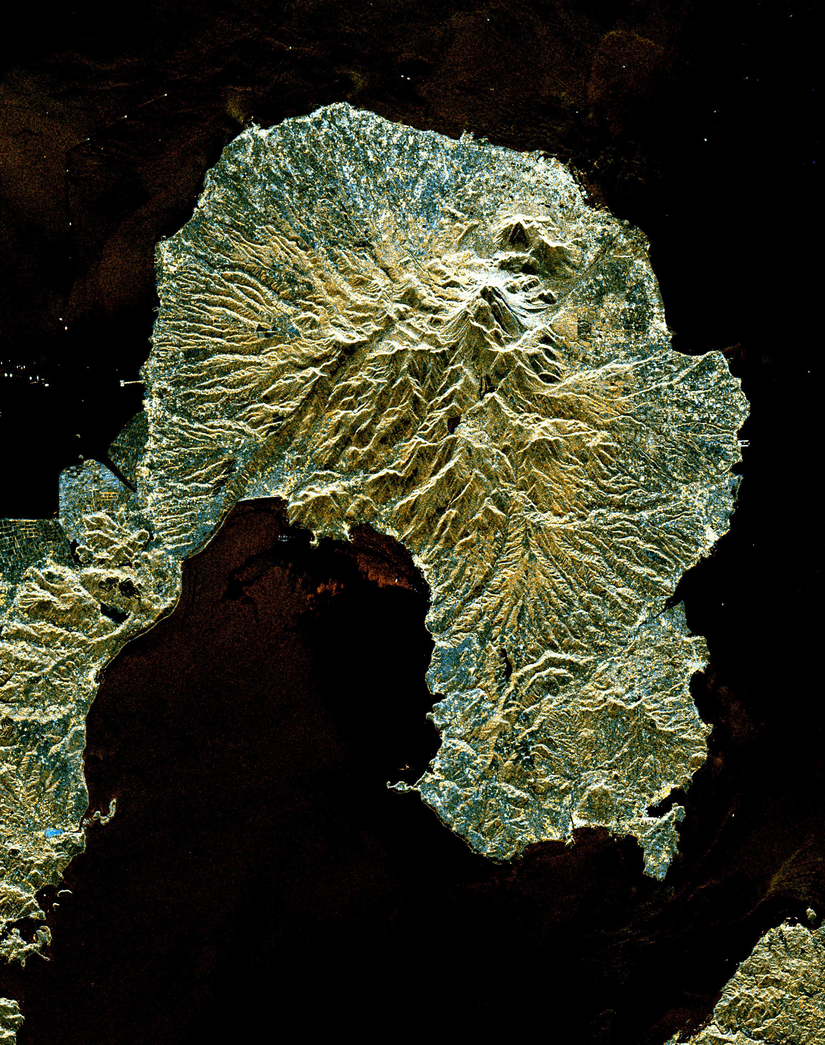
1996-11-13 | Earth |
Spaceborne Imaging Radar-C/X-Band Synthetic Aperture Radar |
Imaging Radar |
2910x2040x3 |
|
|||||
|
|
1996-11-13 | Earth |
Spaceborne Imaging Radar-C/X-Band Synthetic Aperture Radar |
Imaging Radar |
2620x3320x3 |
|
|||||
|
|
1996-11-13 | Earth |
Spaceborne Imaging Radar-C/X-Band Synthetic Aperture Radar |
Imaging Radar |
2732x4000x3 |
|
|||||
|
|
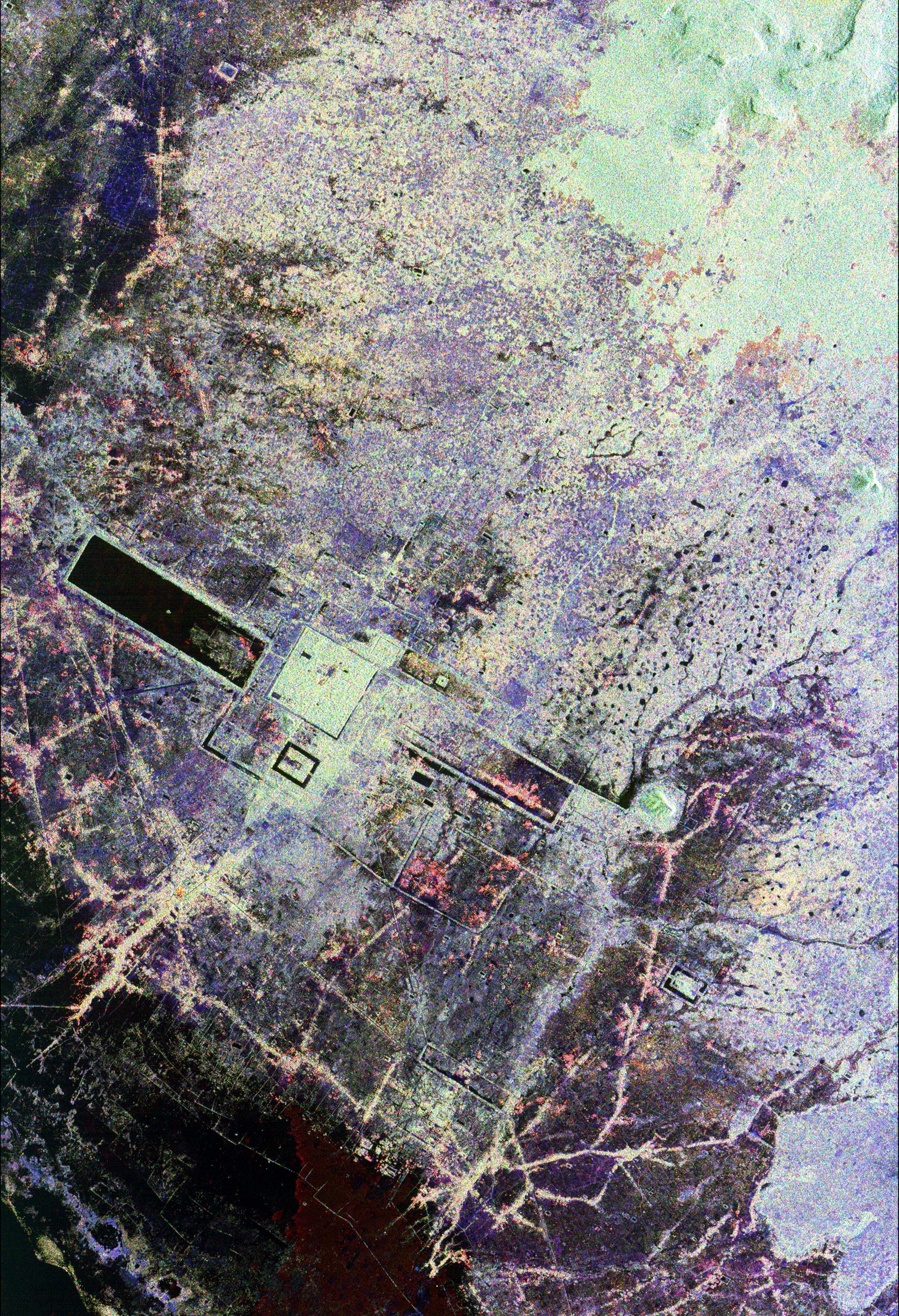
1998-04-14 | Earth |
Spaceborne Imaging Radar-C/X-Band Synthetic Aperture Radar |
Imaging Radar |
1943x4000x3 |
|
|
|||||
|
|
1998-04-09 | Earth |
Spaceborne Imaging Radar-C/X-Band Synthetic Aperture Radar |
Imaging Radar |
1409x1567x3 |
|
|||||
|
|
1998-04-28 | Earth |
Spaceborne Imaging Radar-C/X-Band Synthetic Aperture Radar |
Imaging Radar |
2188x1201x3 |
|
|||||
|
|
1999-04-15 | Earth |
Spaceborne Imaging Radar-C/X-Band Synthetic Aperture Radar |
Imaging Radar |
2010x1800x1 |
|
|||||
|
|
1998-04-28 | Earth |
Spaceborne Imaging Radar-C/X-Band Synthetic Aperture Radar |
Imaging Radar |
1660x3000x3 |

|
|||||
|
|
1998-04-28 | Earth |
Spaceborne Imaging Radar-C/X-Band Synthetic Aperture Radar |
Imaging Radar |
3930x2880x3 |
|
|||||
|
|
1998-04-14 | Earth |
Spaceborne Imaging Radar-C/X-Band Synthetic Aperture Radar |
Imaging Radar |
2430x3078x3 |
|
|||||
|
|
1998-04-14 | Earth |
Spaceborne Imaging Radar-C/X-Band Synthetic Aperture Radar |
Imaging Radar |
1676x4000x3 |
|
|
|||||
|
|
1998-04-14 | Earth |
Spaceborne Imaging Radar-C/X-Band Synthetic Aperture Radar |
Imaging Radar |
1950x3000x3 |
|
|||||
|
|
1998-04-14 | Earth |
Spaceborne Imaging Radar-C/X-Band Synthetic Aperture Radar |
Imaging Radar |
3112x4817x3 |

|
|||||
|
|
1998-04-14 | Earth |
Spaceborne Imaging Radar-C/X-Band Synthetic Aperture Radar |
Imaging Radar |
1498x3000x3 |

|
|||||
|
|
1998-04-09 | Earth |
Spaceborne Imaging Radar-C/X-Band Synthetic Aperture Radar |
Imaging Radar |
3022x3018x3 |
|
|||||
|
|
2000-09-20 | Earth |
RadarSat |
Imaging Radar |
720x520x3 |

|
|||||
|
|
2000-09-20 | Earth |
RadarSat |
Imaging Radar |
1406x472x1 |
|
|||||
|
|
2015-09-09 | Earth |
SMAP |
Passive Active L-band System |
1248x1830x3 |
|
|||||
|
|
2013-07-08 | Earth |
CSIRO Parkes Observatory |
Parks Telescope |
3220x2225x3 |

|
|||||
|
|
2004-03-13 | Earth |
Mars Exploration Rover (MER) |
Panoramic Camera |
1194x1007x1 |
|
|||||
|
|
2015-05-04 | Earth |
ARIA |
PALSAR-2 |
713x1047x3 |
|
|||||
|
|
2015-05-07 | Earth |
ARIA |
PALSAR-2 |
1402x2048x3 |
|
|||||
|
|
2015-05-11 | Earth |
ARIA |
PALSAR-2 |
822x1263x3 |
|
|||||
|
|
2016-04-20 | Earth |
ARIA |
PALSAR-2 |
970x759x3 |

|
|||||
|
|
2016-08-27 | Earth |
ARIA |
PALSAR-2 |
1002x1011x3 |

|
|||||
|
|
2017-03-23 | Earth |
ARIA |
PALSAR-2 |
4481x2682x3 |
|
|||||
|
|
2017-08-30 | Earth |
ARIA |
PALSAR-2 |
1237x1222x3 |
|
|||||
|
|
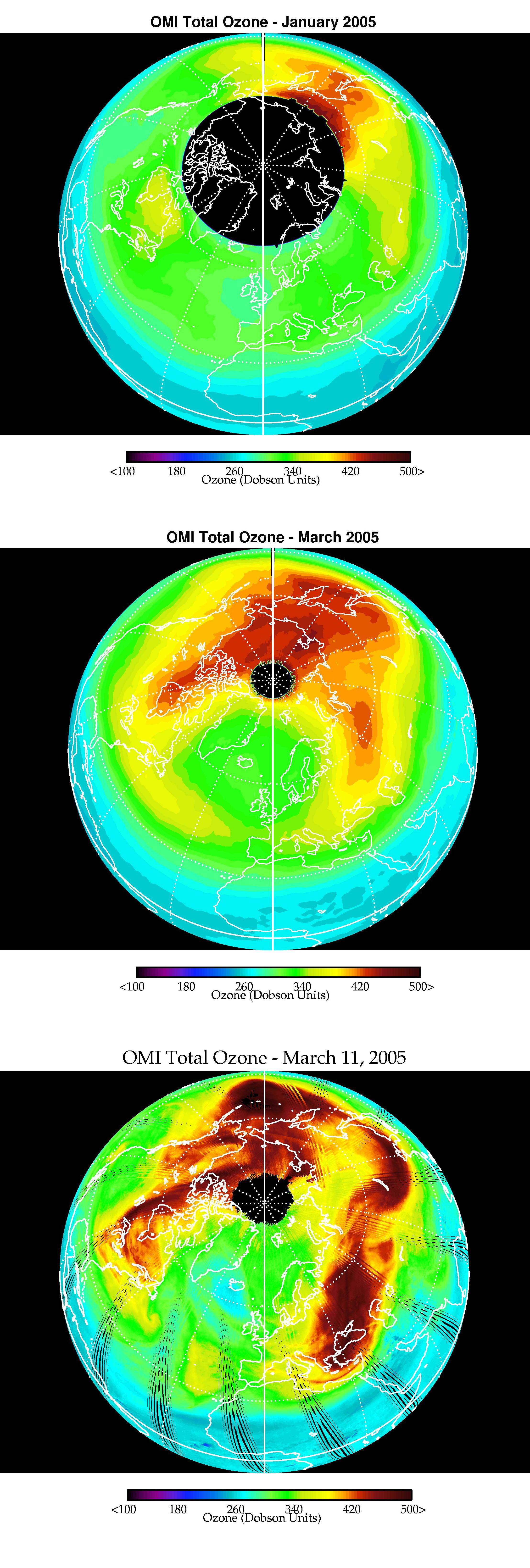
2005-06-02 | Earth |
Aura |
Ozone Monitoring Instrument |
2215x6554x3 |
|
|
|||||
|
|
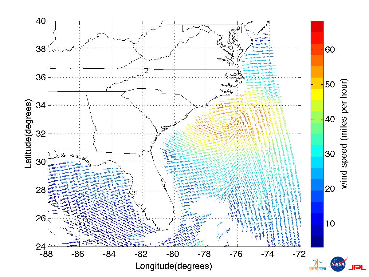
2011-08-27 | Earth |
OSCAT |
OSCAT Scatterometer |
1201x900x3 |
|
|||||
|
|
2012-10-30 | Earth |
OSCAT |
OSCAT Scatterometer |
447x337x3 |
|
|||||
|
|
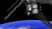
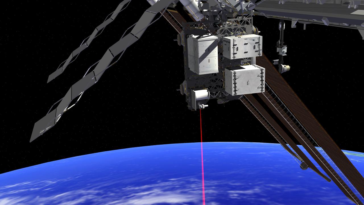
2014-07-24 | Earth |
ISS |
OPALS |
3168x4752x3 |
|
|||||
|
|
2014-07-24 | Earth |
ISS |
OPALS |
1280x720x3 |
|
|||||
|
|
2014-07-24 | Earth |
ISS |
OPALS |
3264x2448x3 |
|
|||||
|
|
2014-07-24 | Earth |
ISS |
OPALS |
1107x831x3 |
|
|||||
|
|
2014-07-24 | Earth |
ISS |
OPALS |
1393x928x3 |
|
|||||
|
|
2014-07-24 | Earth |
ISS |
OPALS |
1537x1024x3 |
|
|||||
|
|
2014-07-24 | Earth |
ISS |
OPALS |
735x489x3 |
|
|||||
|
|
2014-07-24 | Earth |
ISS |
OPALS |
3264x2448x3 |
|
|||||
|
|
2014-07-24 | Earth |
ISS |
OPALS |
4288x2848x3 |
|
|||||
|
|
2014-07-24 | Earth |
ISS |
OPALS |
2501x2831x3 |
|
|||||
|
|
2014-08-06 | Earth |
ISS |
OPALS |
1261x945x3 |

|
|||||
|
|
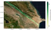
2019-07-12 | Earth |
Orbiting Carbon Observatory (OCO-3) |
OCO-3 |
1007x701x3 |

|
|||||
|
|
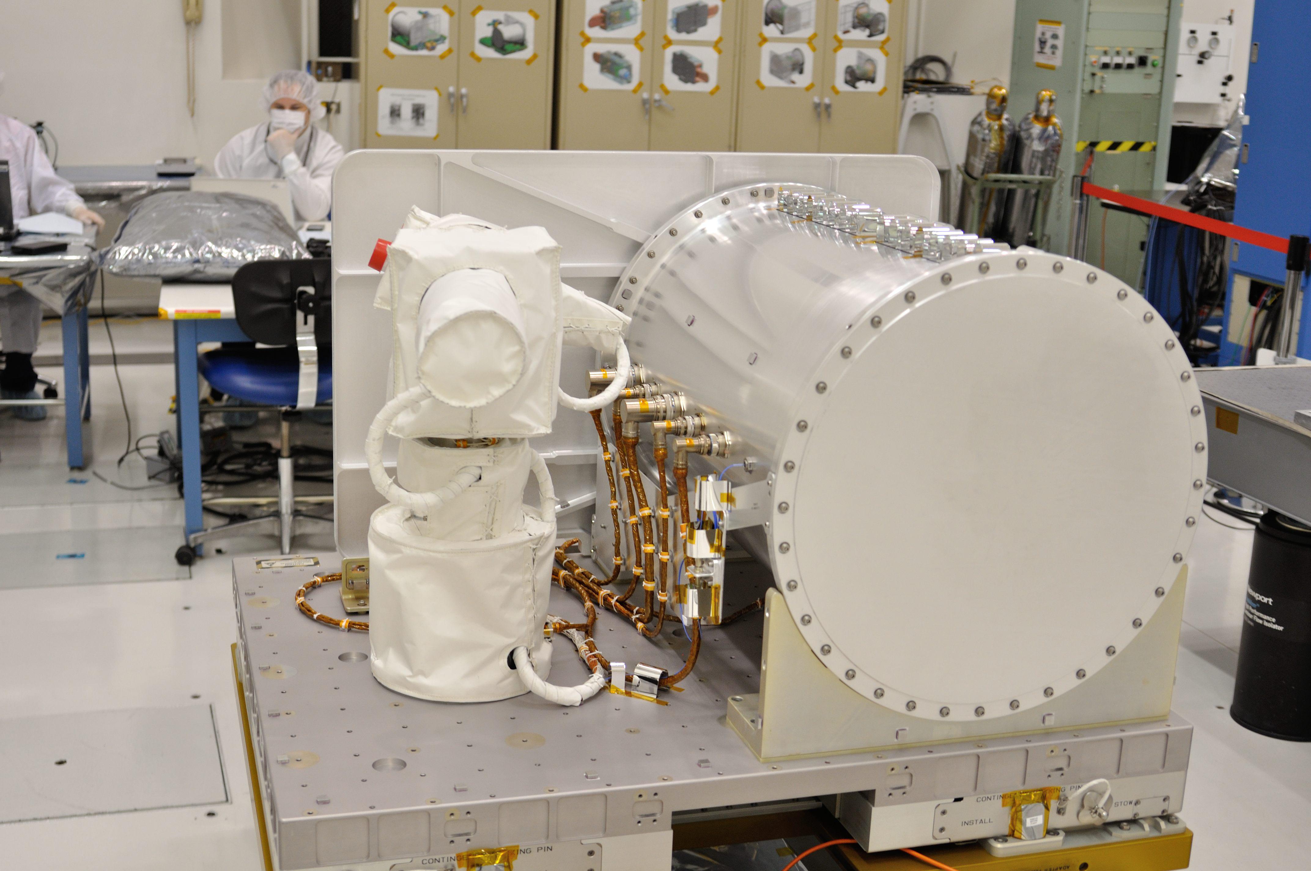
2019-07-12 | Earth |
Orbiting Carbon Observatory (OCO-3) |
OCO-3 |
1440x841x3 |
|
|||||
|
|
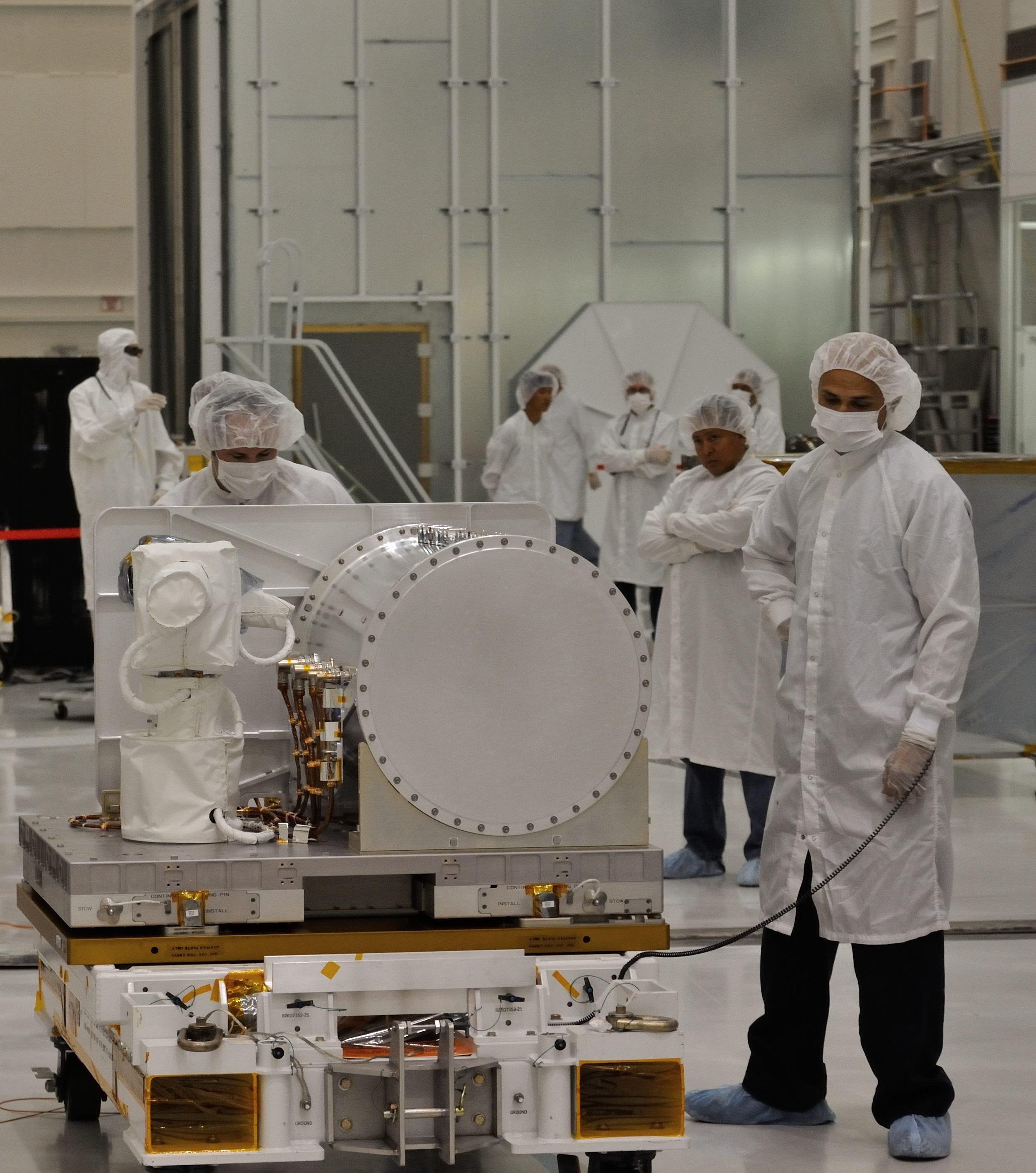
2021-06-07 | Earth |
Orbiting Carbon Observatory (OCO-3) |
OCO-3 |
1041x975x3 |

|
|||||
|
|
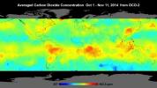
2014-01-22 | Earth |
OCO-2 |
OCO-2 |
2560x1440x3 |
|
|||||
|
|
2014-06-30 | Earth |
OCO-2 |
OCO-2 |
4928x3280x3 |
|
|||||
|
|
2014-06-30 | Earth |
OCO-2 |
OCO-2 |
2232x1643x3 |
|
|||||
|
|
2014-07-01 | Earth |
OCO-2 |
OCO-2 |
2848x4288x3 |
|
|||||
|
|
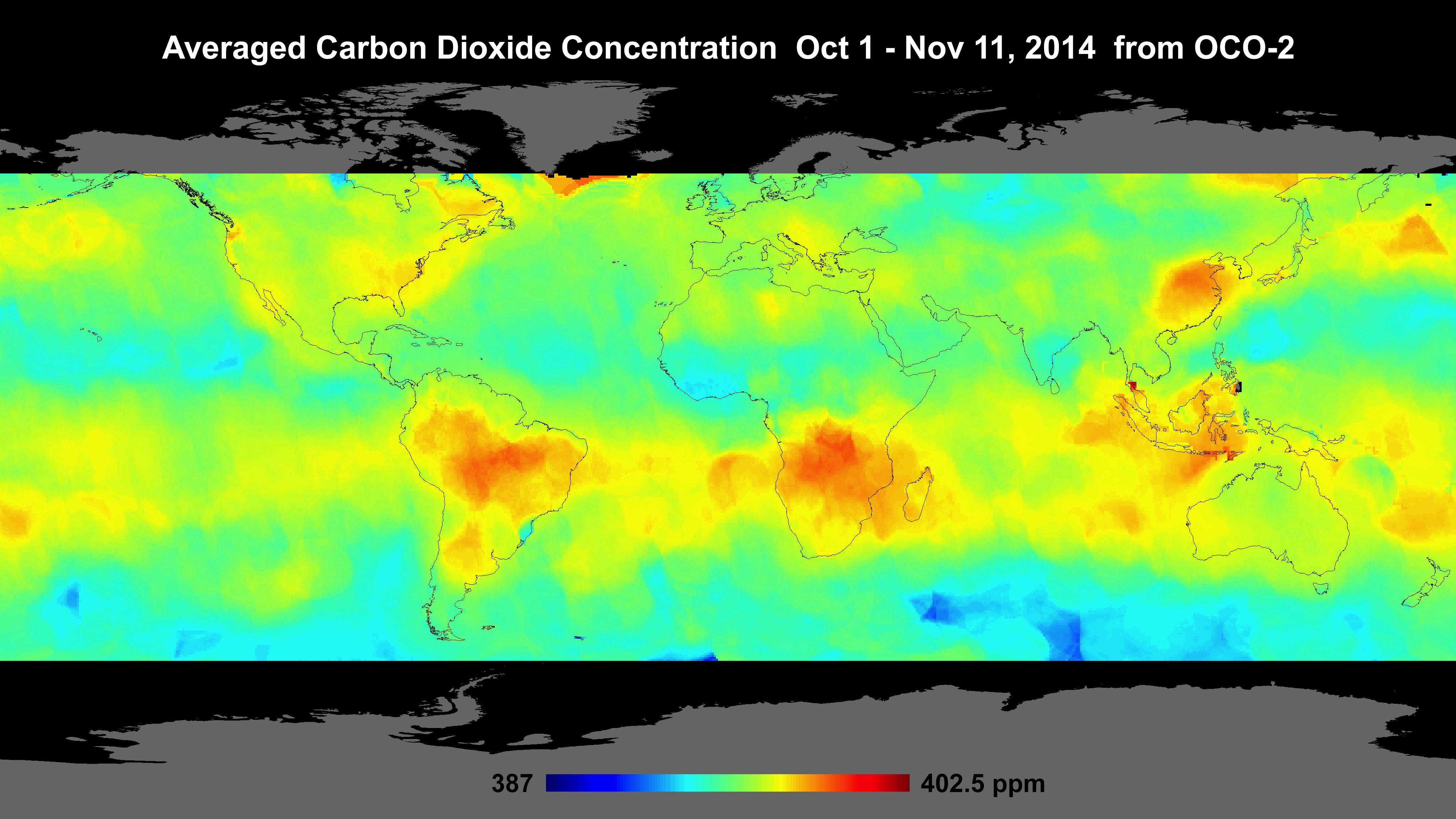
2014-10-01 | Earth |
OCO-2 |
OCO-2 |
1177x801x3 |
|
|||||
|
|
2014-12-18 | Earth |
OCO-2 |
OCO-2 |
4096x2304x3 |
|
|||||
|
|
2014-12-18 | Earth |
OCO-2 |
OCO-2 |
1317x814x3 |

|
|||||
|
|
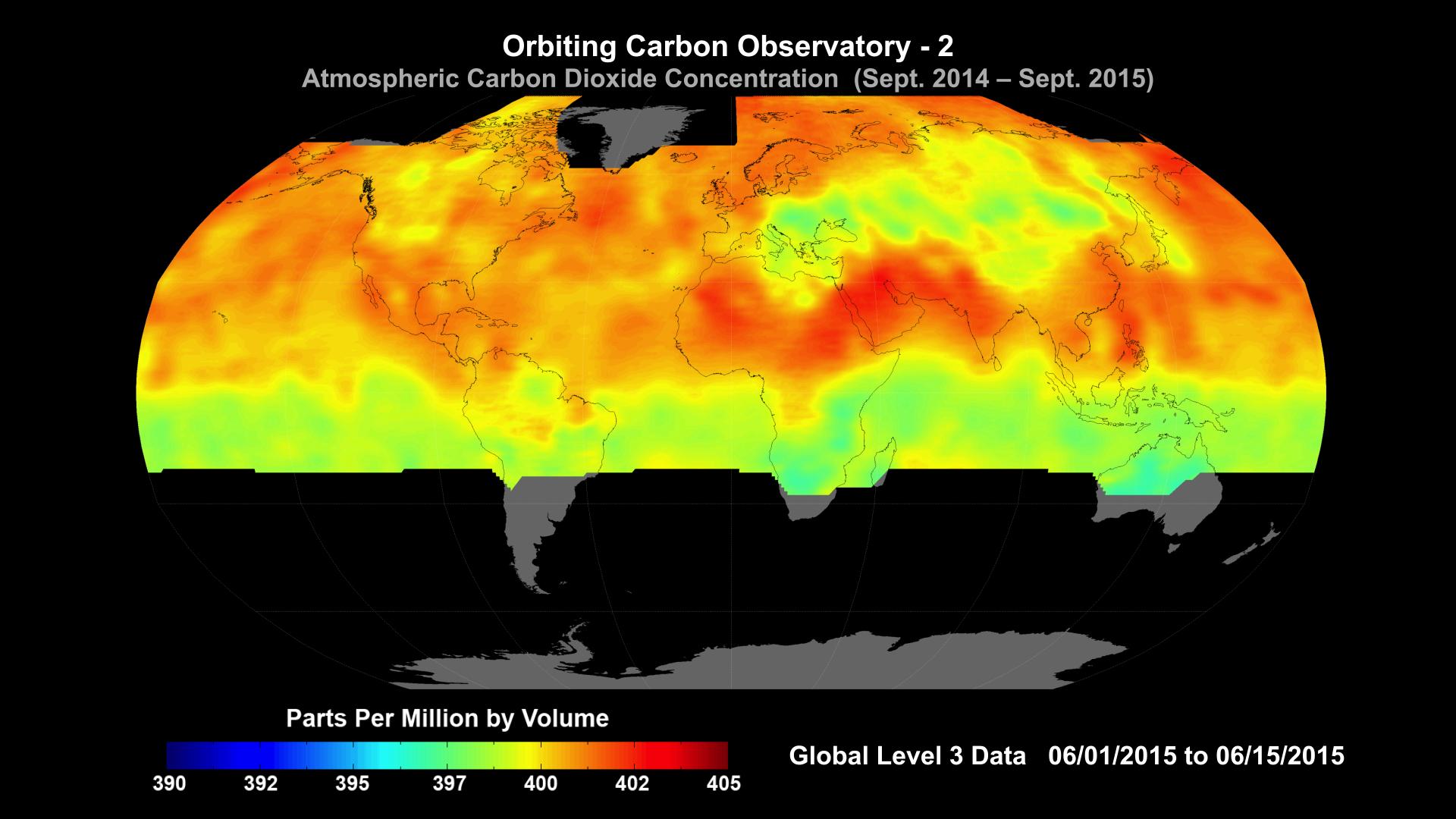
2015-10-29 | Earth |
OCO-2 |
OCO-2 |
1920x1080x3 |

|
|||||

|
 |
 |
 |
|
|
|
|
|
|
|

|
| 1-100 | 101-200 | 201-300 | 301-400 | 401-500 | 501-600 | 601-700 | 701-800 | 801-900 | 901-1000 |
| Currently displaying images: 101 - 200 of 2593 |