|
Your search criteria found 346 images Target is Moon |
| My List |
Addition Date | Target | Mission |
Instrument
|
Size |

|
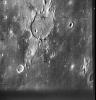
2000-11-04 | Moon |
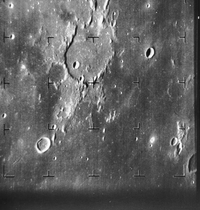
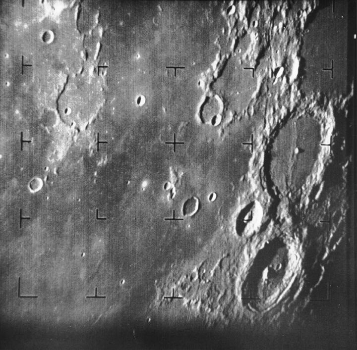
Ranger 7 |
685x720x1 | |
|
|||||
|
|
2000-11-04 | Moon |
Ranger 7 |
720x707x1 | |

|
|||||
|
|
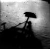
2000-11-04 | Moon |
Surveyor 1 |
2579x2563x1 | |
|
|||||
|
|
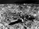
2000-11-04 | Moon |
Surveyor 7 |
625x480x1 | |
|
|||||
|
|
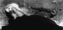
2000-11-04 | Moon |
Surveyor 5 |
873x414x1 | |
|
|||||
|
|
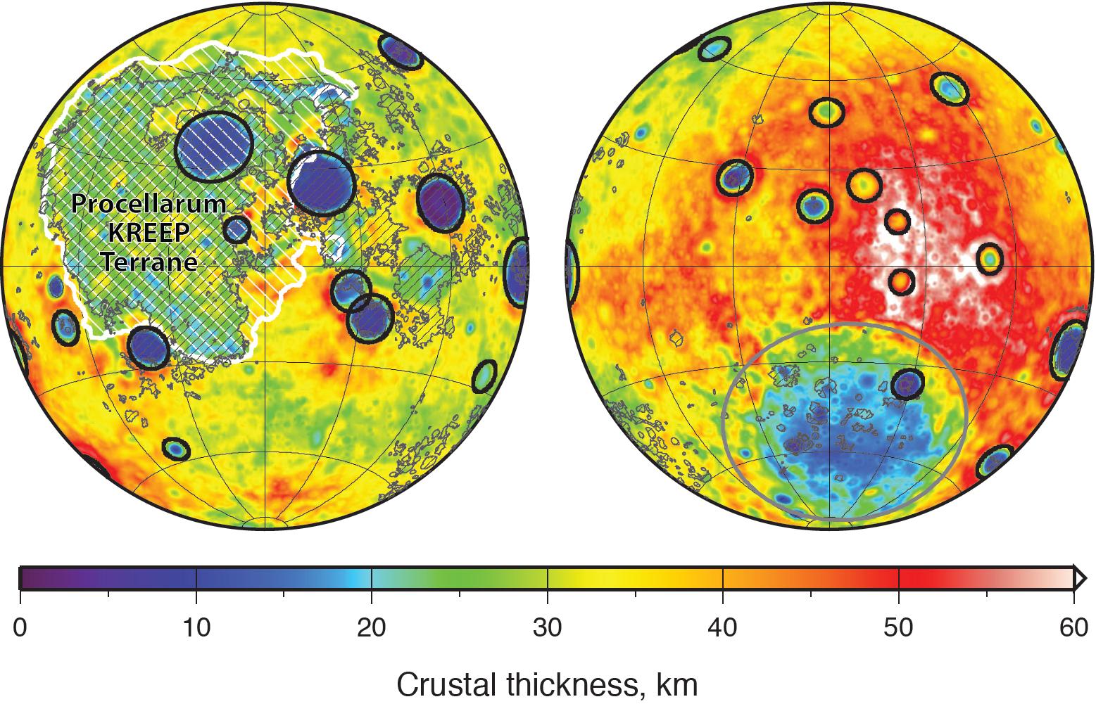
2007-12-11 | Moon |
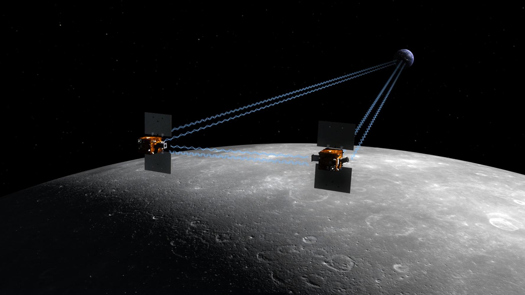
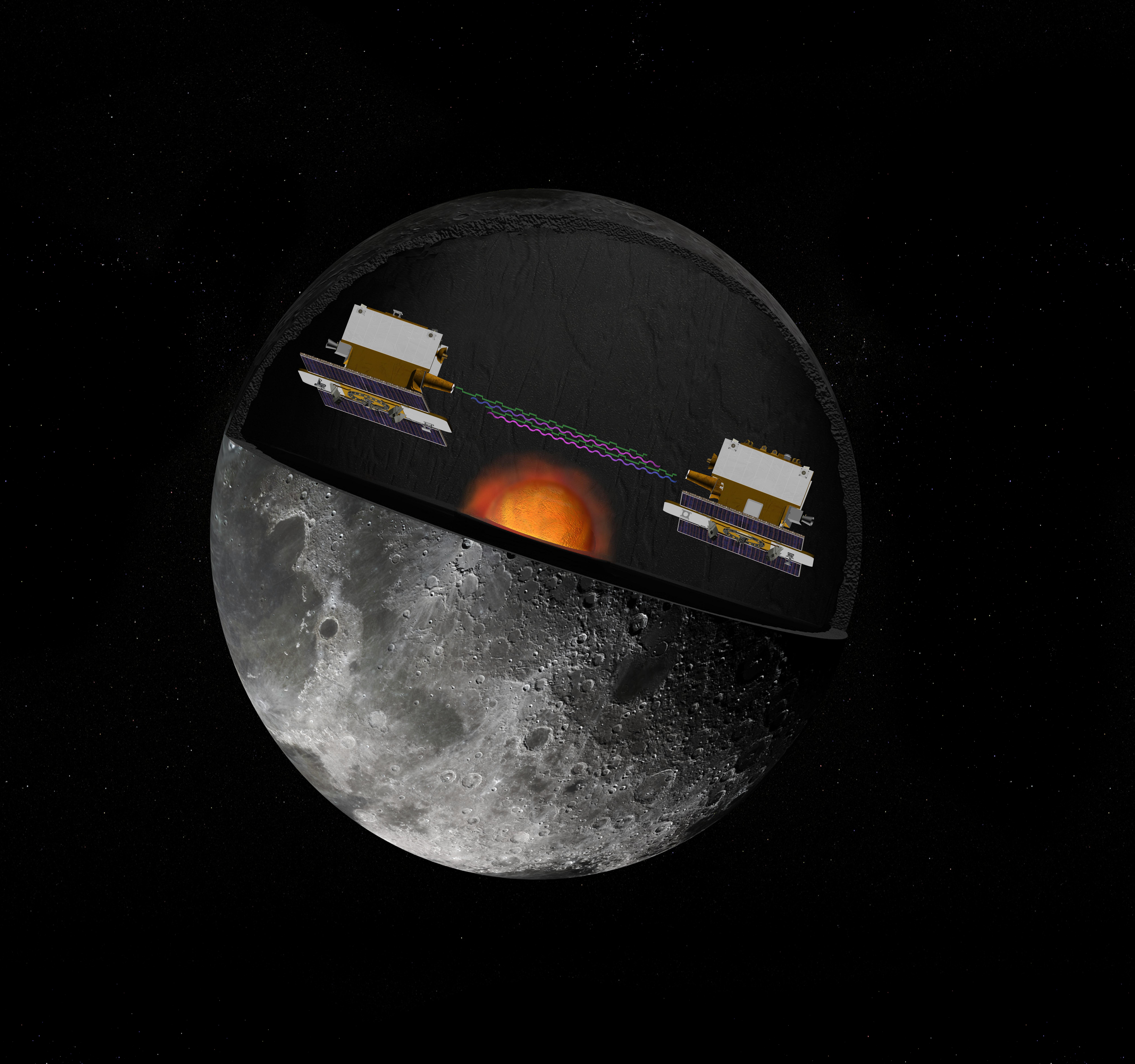
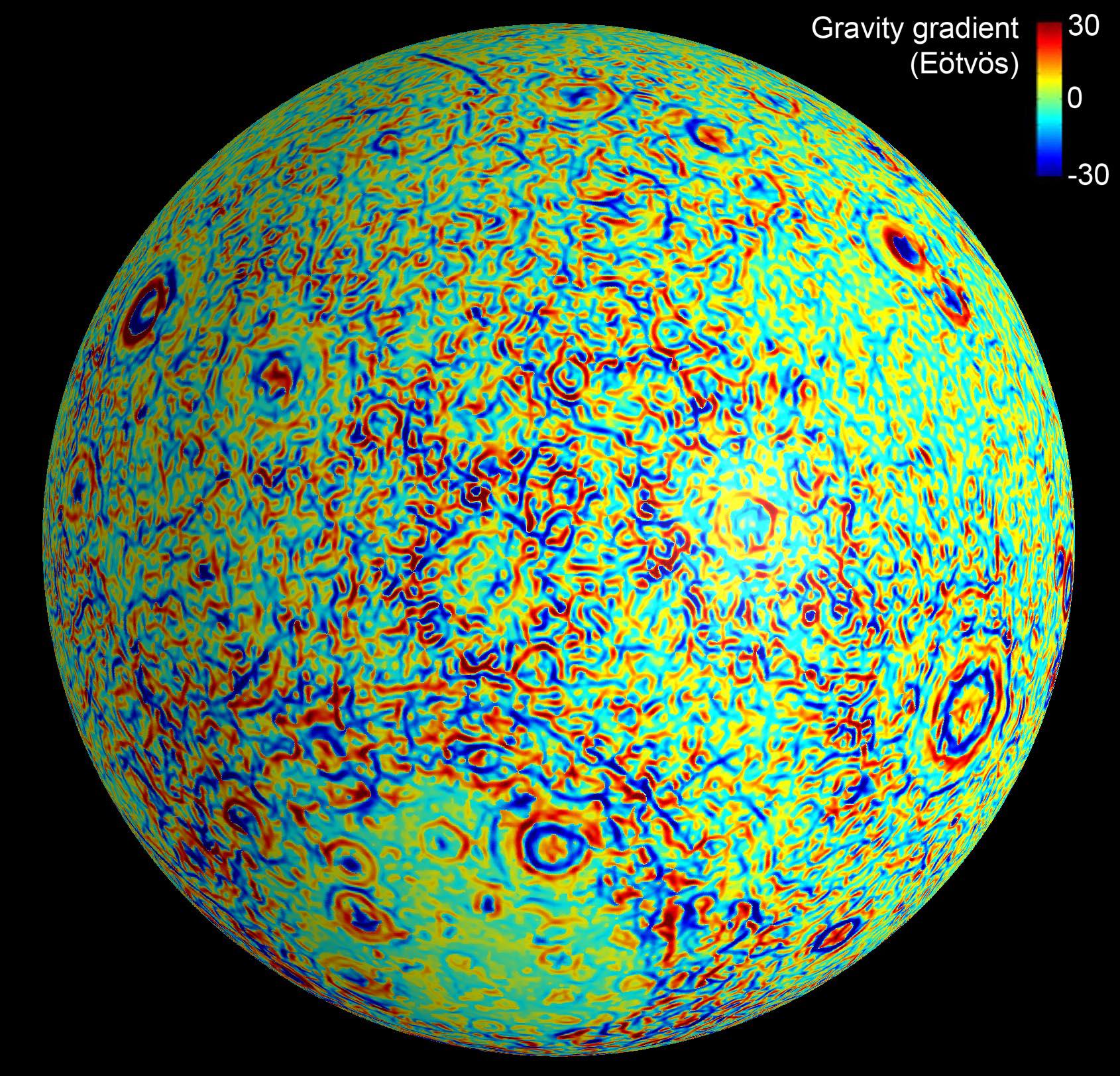
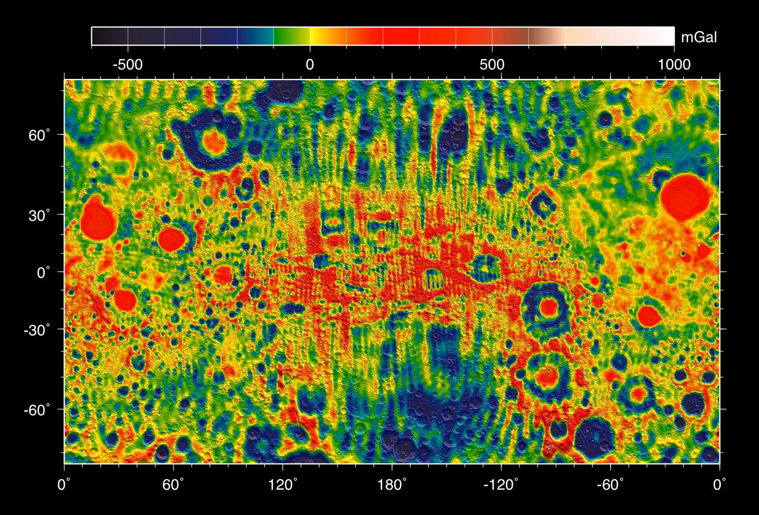
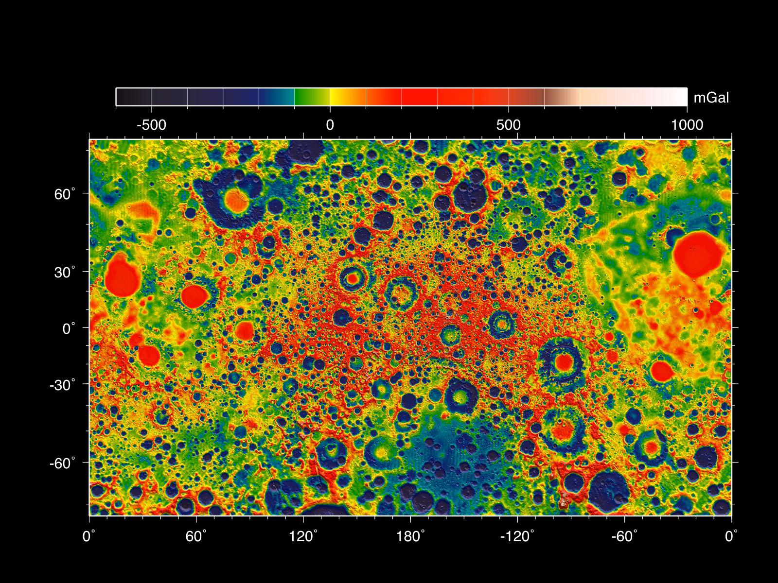
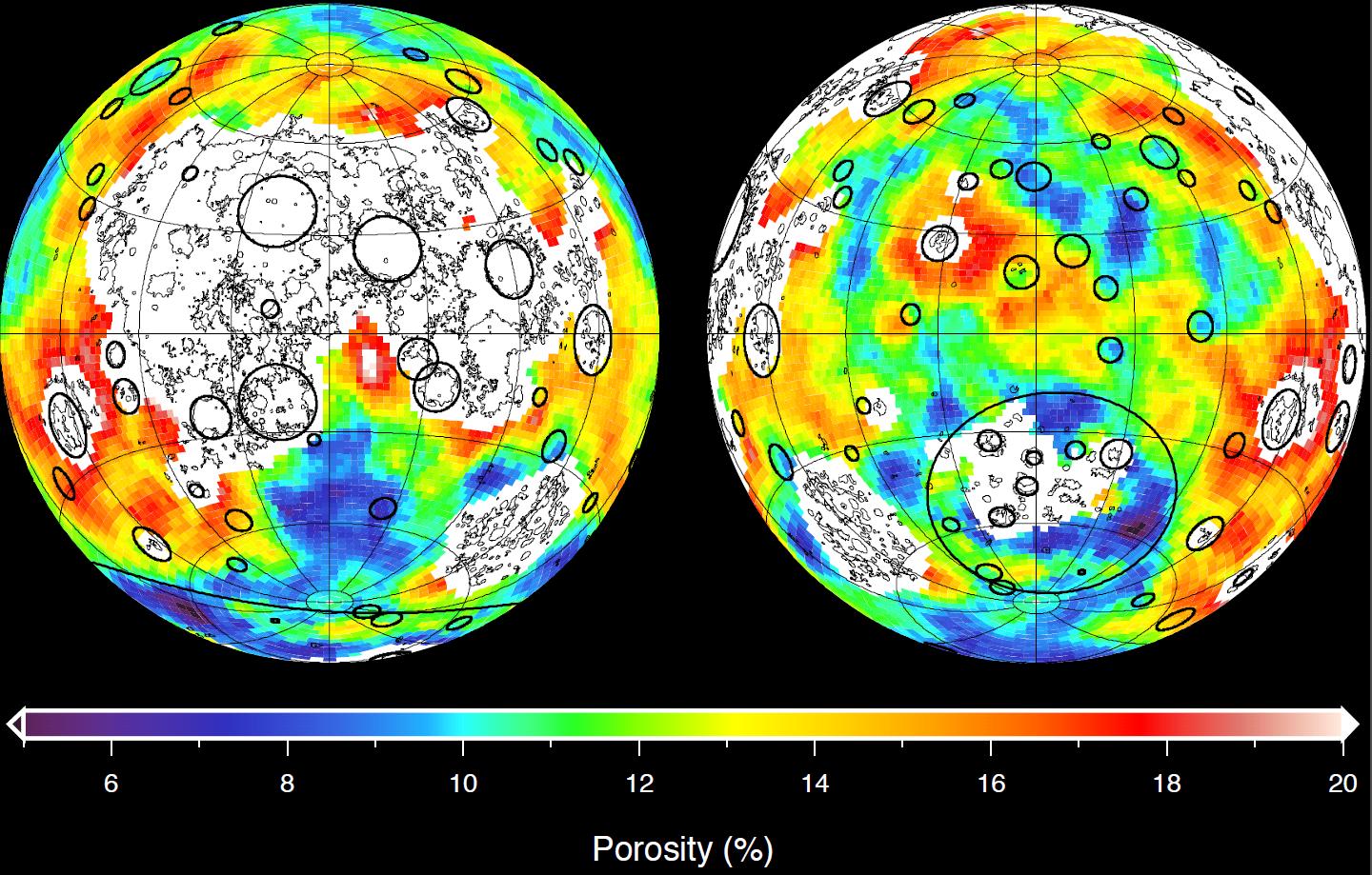
GRAIL |
1778x1000x3 | |
|
|||||
|
|
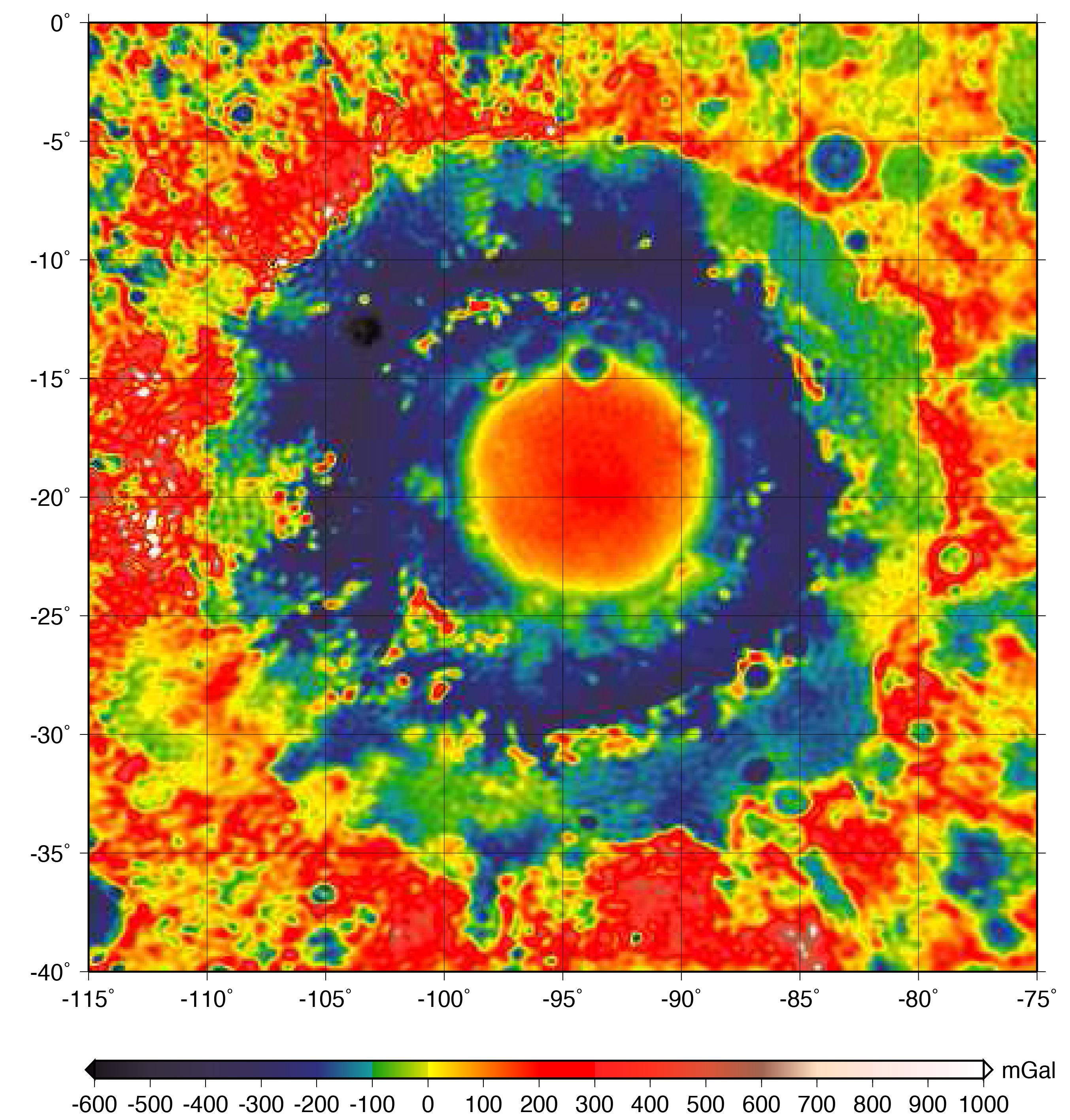
2009-05-18 | Moon |
GRAIL |
6000x4000x3 | |
|
|||||
|
|
2009-05-18 | Moon |
GRAIL |
8000x7500x3 | |
|
|||||
|
|
2009-09-24 | Moon |
Deep Impact |
1000x750x3 | |
|
|||||
|
|
2009-09-24 | Moon |
Deep Impact |
1000x750x3 | |

|
|||||
|
|
2009-09-24 | Moon |
Deep Impact |
1000x495x3 | |

|
|||||
|
|
2009-09-24 | Moon | 910x521x3 | ||

|
|||||
|
|
2012-12-05 | Moon |
GRAIL |
4532x1967x3 | |
|
|||||
|
|
2012-12-05 | Moon |
GRAIL |
1169x492x3 | |
|
|||||
|
|
2012-12-05 | Moon |
GRAIL |
4532x1967x3 | |
|
|||||
|
|
2012-12-05 | Moon |
GRAIL Lunar Reconnaissance Orbiter (LRO) |
1065x578x3 | |
|
|||||
|
|
2012-12-05 | Moon |
GRAIL Lunar Reconnaissance Orbiter (LRO) |
1065x578x3 | |
|
|||||
|
|
2012-12-05 | Moon |
GRAIL |
3051x1614x3 | |

|
|||||
|
|
2012-12-05 | Moon |
GRAIL |
1690x1623x3 | |
|
|||||
|
|
2012-12-05 | Moon |
GRAIL |
1529x1038x3 | |
|
|||||
|
|
2012-12-05 | Moon |
GRAIL |
1600x1200x3 | |
|
|||||
|
|
2012-12-05 | Moon |
GRAIL |
1440x919x3 | |
|
|||||
|
|
2012-12-05 | Moon |
GRAIL Lunar Reconnaissance Orbiter (LRO) |
1475x975x3 | |
|
|||||
|
|
2012-12-05 | Moon |
GRAIL |
1278x718x3 | |
|
|||||
|
|
2012-12-05 | Moon |
GRAIL |
1914x1077x3 | |
|
|||||
|
|
2012-12-05 | Moon |
GRAIL |
1280x717x3 | |

|
|||||
|
|
2012-12-05 | Moon |
GRAIL Lunar Reconnaissance Orbiter (LRO) |
1038x658x3 | |
|
|||||
|
|
2012-12-13 | Moon |
GRAIL Lunar Reconnaissance Orbiter (LRO) |
1280x720x1 | |
|
|||||
|
|
2012-12-13 | Moon |
GRAIL Lunar Reconnaissance Orbiter (LRO) |
1636x671x3 | |
|
|||||
|
|
2012-12-13 | Moon |
GRAIL |
1230x1242x3 | |
|
|||||
|
|
2012-12-13 | Moon |
GRAIL Lunar Reconnaissance Orbiter (LRO) |
367x268x1 | |
|
|||||
|
|
2012-12-13 | Moon |
GRAIL Lunar Reconnaissance Orbiter (LRO) |
1702x998x3 | |
|
|||||
|
|
2013-03-19 | Moon |
GRAIL |
2022x2040x3 | |
|
|||||
|
|
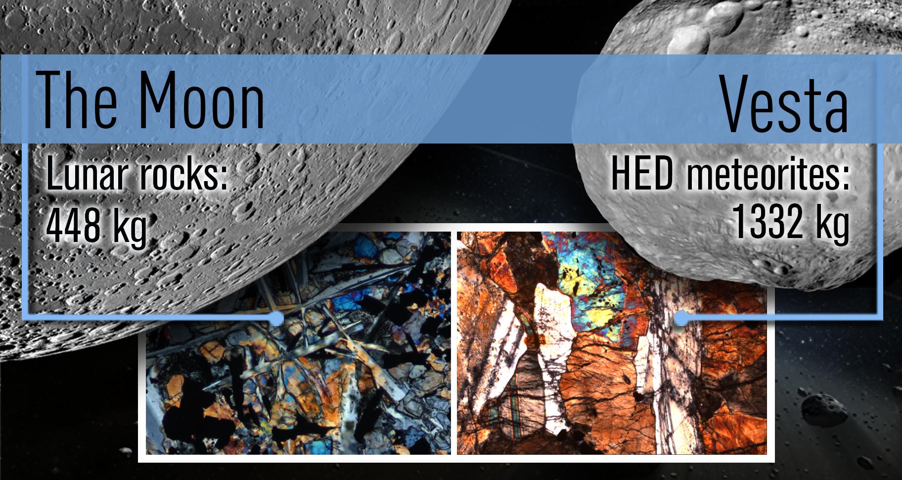
2013-03-25 | Vesta |
Dawn Lunar Reconnaissance Orbiter (LRO) |
1824x970x3 | |
|
|||||
|
|
2013-11-08 | Moon |
GRAIL |
1557x1001x3 | |
|
|||||
|
|
2016-10-27 | Moon |
GRAIL |
2707x2832x3 | |

|
|||||
|
|
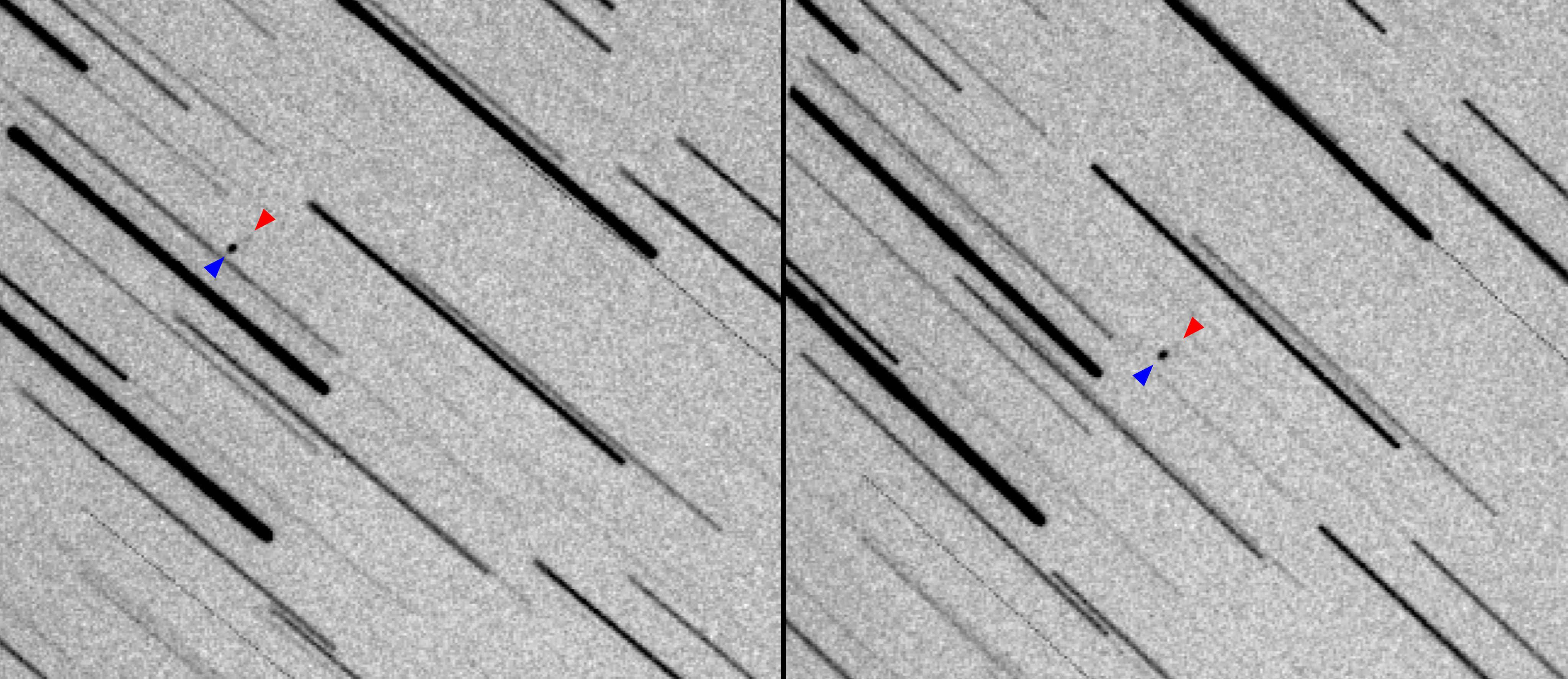
2018-05-15 | Earth |
MarCO |
1151x734x3 | |
|
|||||
|
|
2019-05-13 | Moon |
Lunar Reconnaissance Orbiter (LRO) |
1100x1100x3 | |
|
|||||
|
|
2019-05-13 | Moon |
Lunar Reconnaissance Orbiter (LRO) |
1407x1009x1 | |
|
|||||
|
|
2019-05-13 | Moon |
Lunar Reconnaissance Orbiter (LRO) |
1631x1010x1 | |

|
|||||
|
|
2019-05-13 | Moon |
Lunar Reconnaissance Orbiter (LRO) |
1222x988x1 | |

|
|||||
|
|
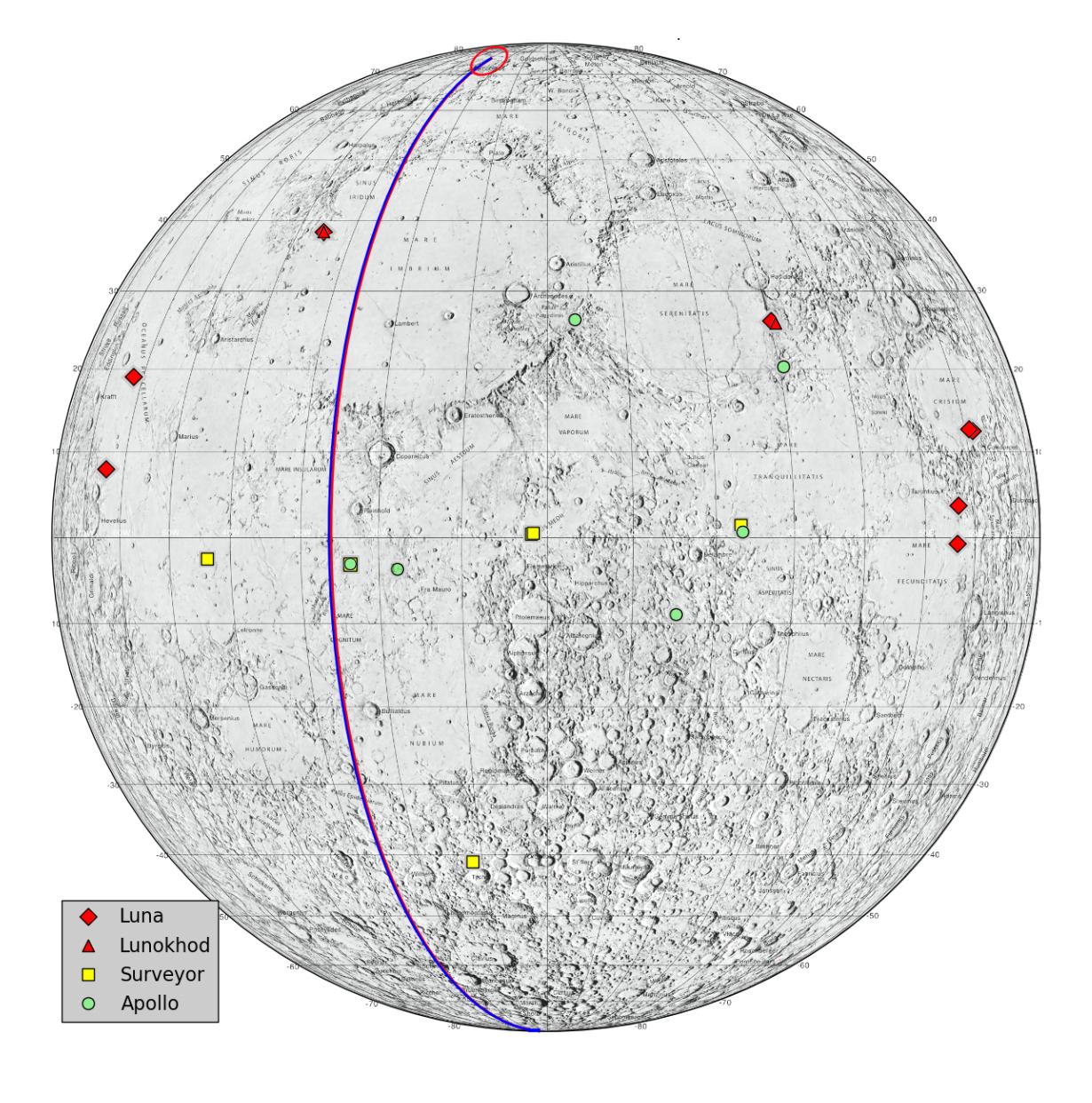
2019-11-20 | Moon |
Apollo 12 |
711x1113x3 | |
|
|||||
|
|
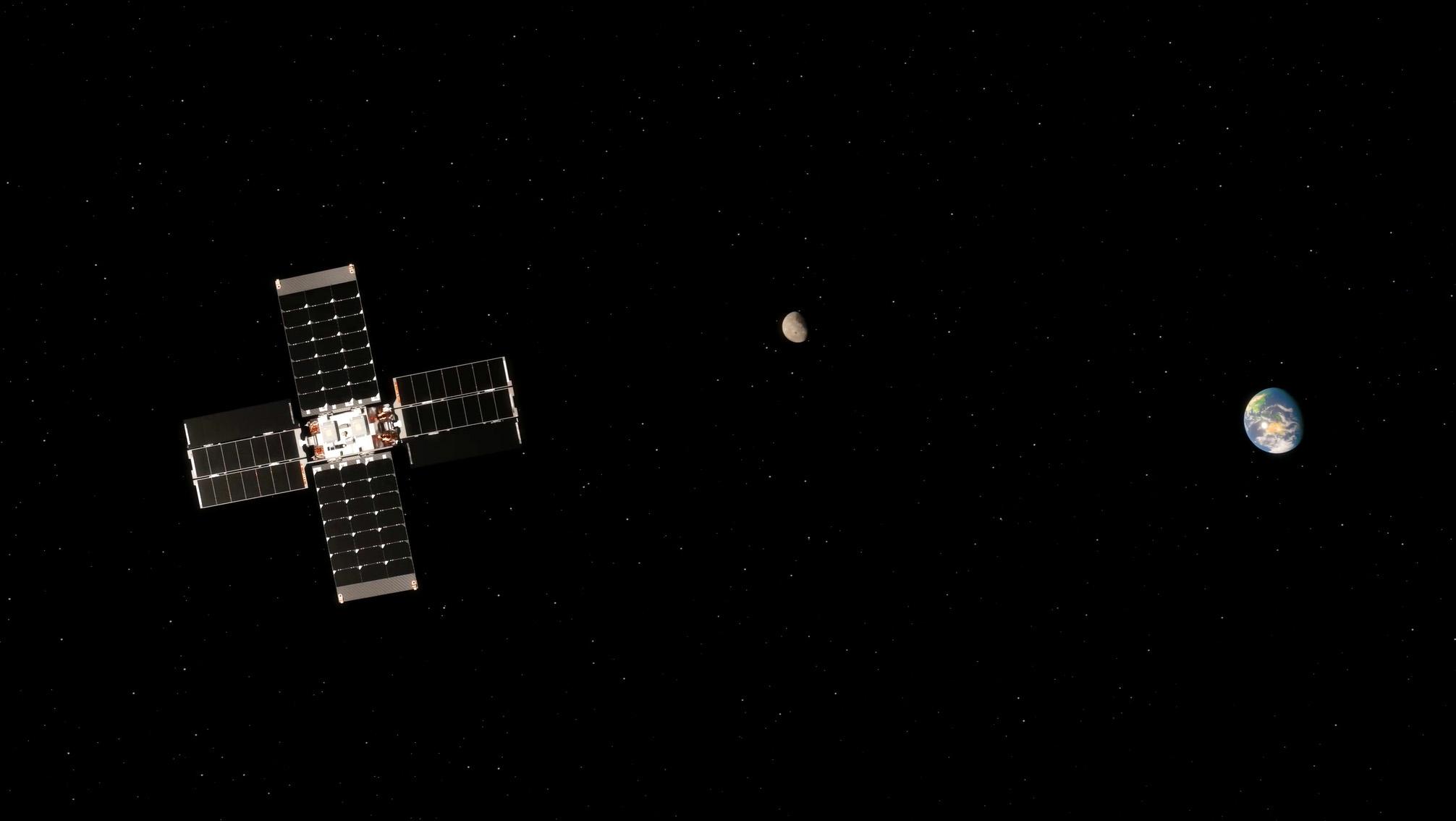
2021-04-21 | Moon |
Apollo |
3294x3226x3 | |
|
|||||
|
|
2022-12-12 | Moon |
Lunar Flashlight |
2947x1661x3 | |

|
|||||
|
|
2022-12-23 | Moon |
Lunar Flashlight |
4096x1773x3 | |
|
|||||
|
|
2023-01-12 | Moon |
Lunar Flashlight |
2012x1134x3 | |
|
|||||

|
 |
|
|
 |
|
| 1-100 | 101-200 | 201-300 | 301-400 |
| Currently displaying images: 301 - 346 of 346 |