|
Your search criteria found 2277 images Target is Earth |
| My List |
Addition Date
|
Target | Mission | Instrument | Size |

|
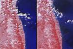
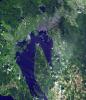
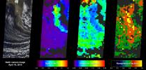
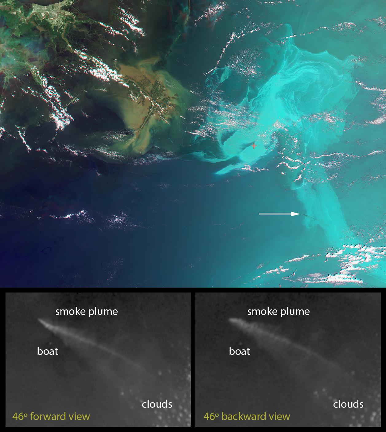
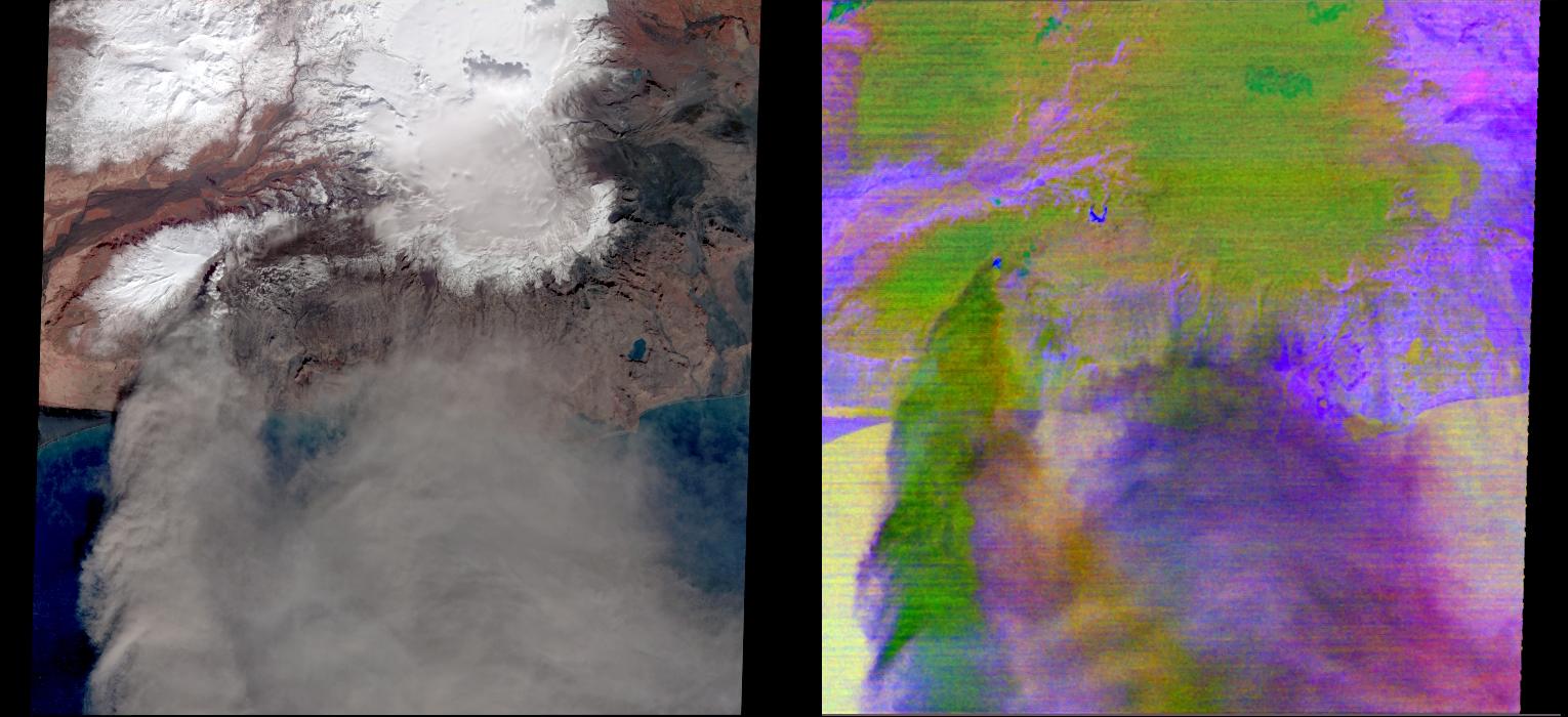
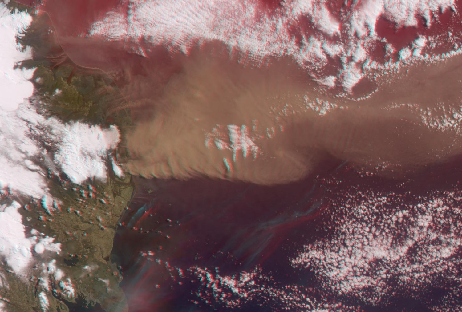
2011-03-12 | Earth |
Terra |
MISR |
600x400x3 |
|
|||||
|
|
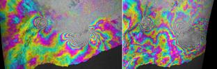
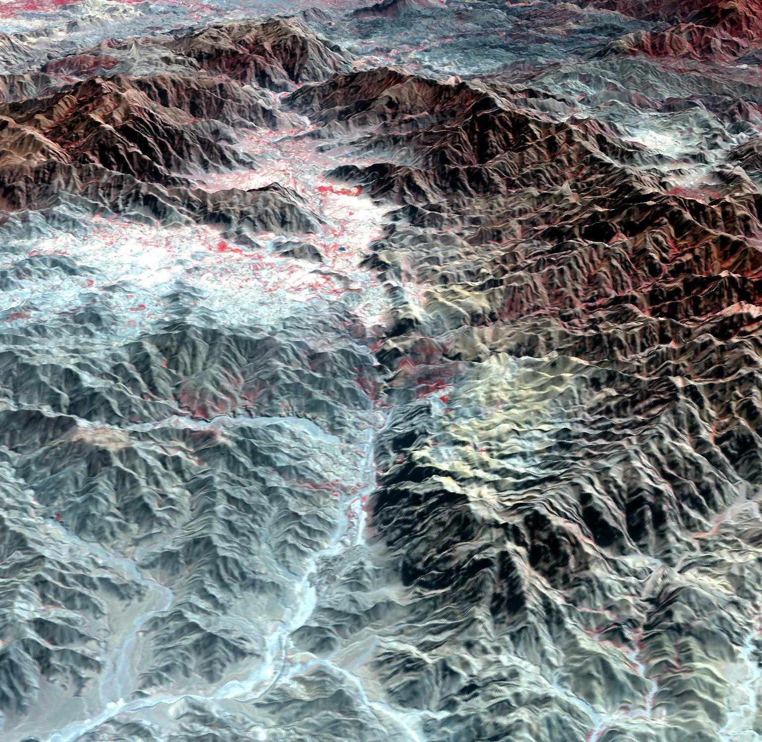
2011-03-11 | Earth |
Shuttle Radar Topography Mission (SRTM) |
C-Band Radar X-Band Radar |
6330x5879x3 |
|
|||||
|
|
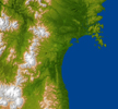
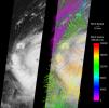
2011-03-10 | Earth |
ARIA |
X-band interferometric synthetic aperture radar |
2692x863x3 |
|
|||||
|
|
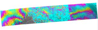
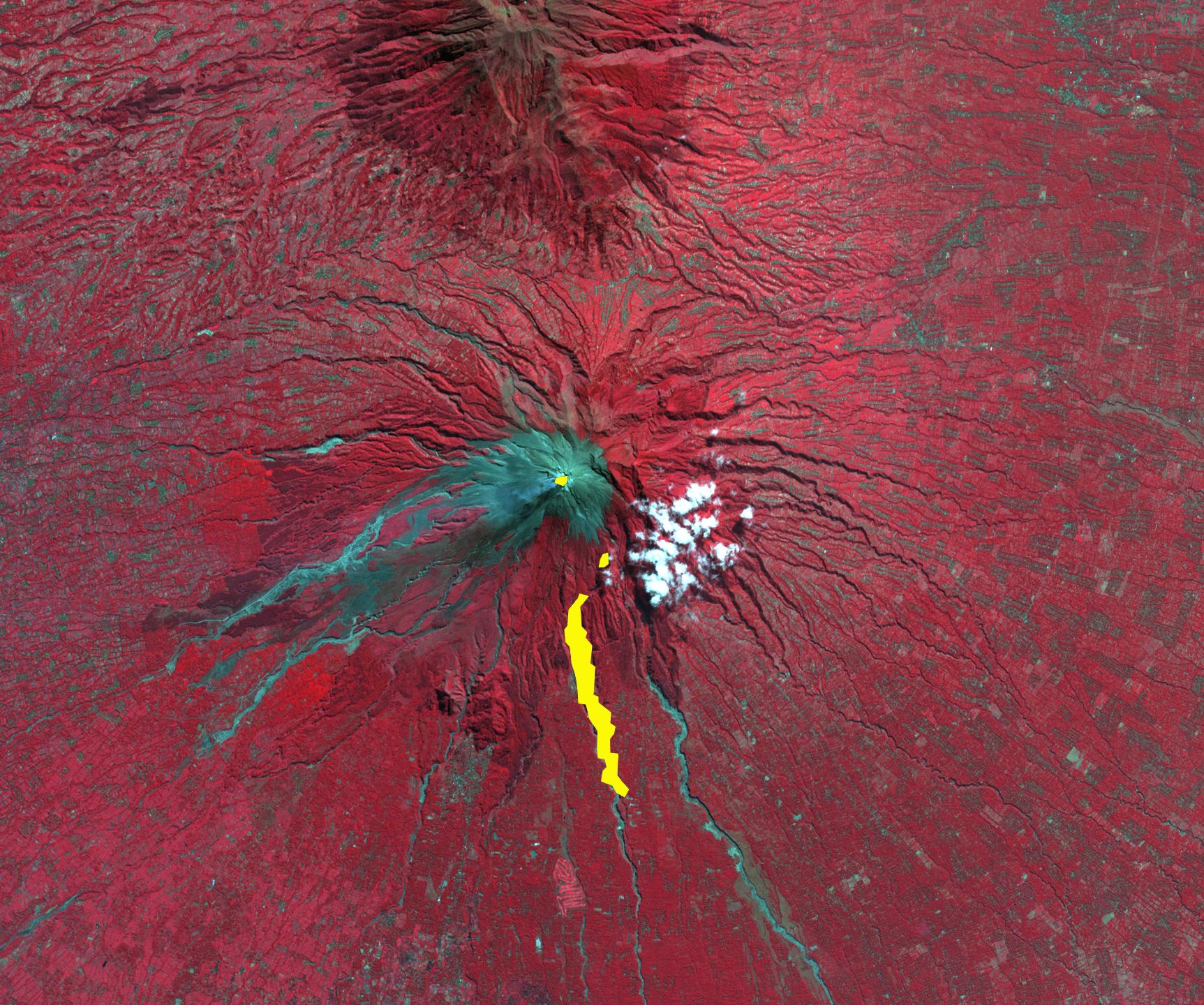
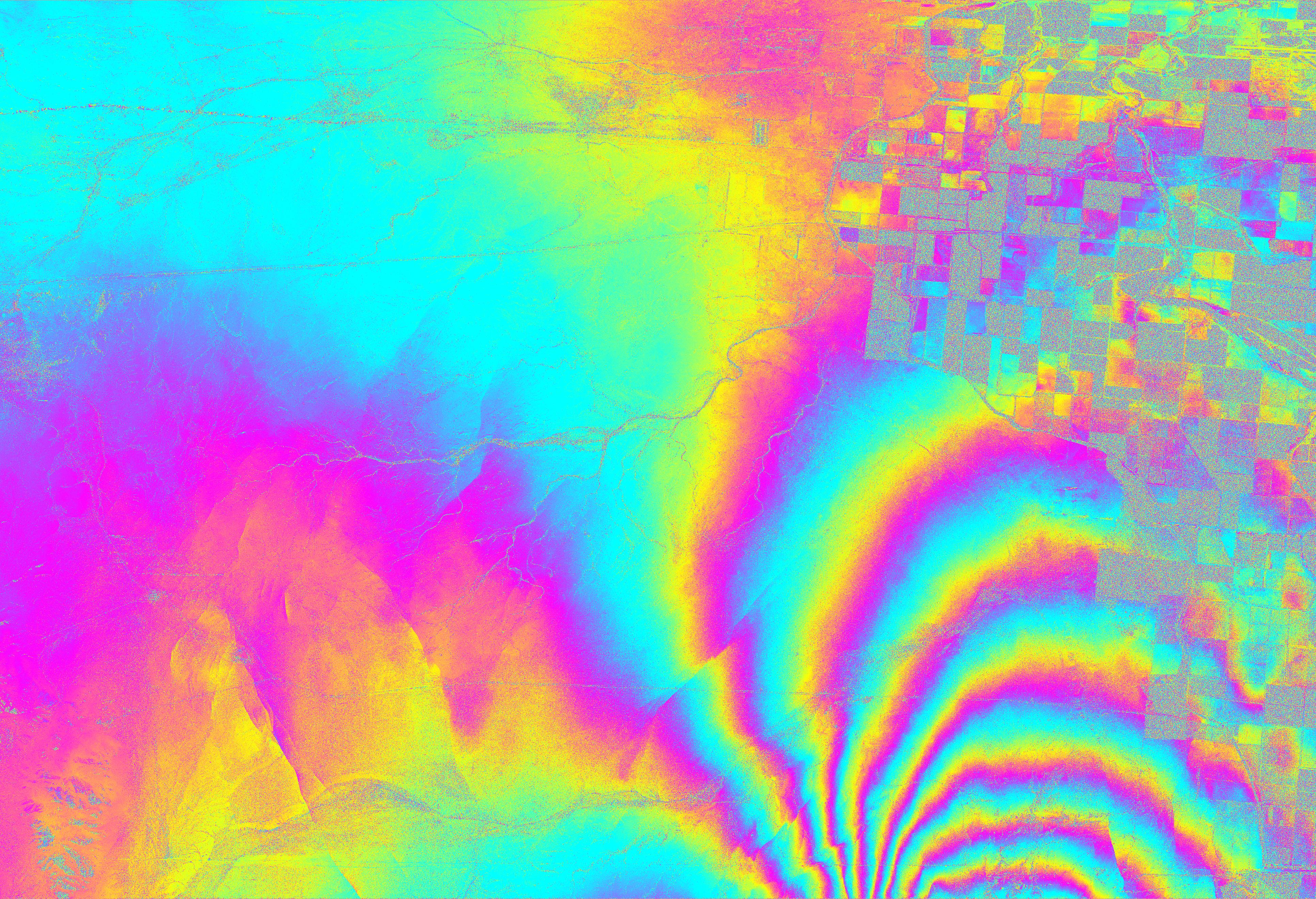
2011-03-04 | Earth |
UAVSAR |
L-Band UAVSAR |
20528x6304x3 |
|
|||||
|
|
2011-03-03 | Earth |
Terra |
ASTER |
2829x2796x3 |
|
|||||
|
|
2011-02-24 | Earth |
Terra |
ASTER |
1533x1484x3 |
|
|||||
|
|
2011-02-14 | Earth |
Terra |
ASTER |
1409x1455x3 |
|
|||||
|
|
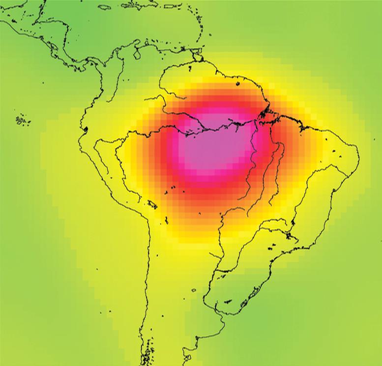
2011-02-04 | Earth |
Aqua |
AIRS |
814x630x3 |
|
|||||
|
|
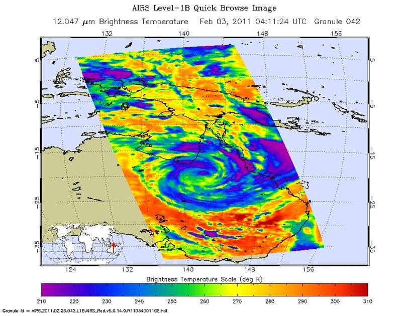
2011-02-03 | Earth |
Aqua |
AIRS |
882x630x3 |
|
|||||
|
|
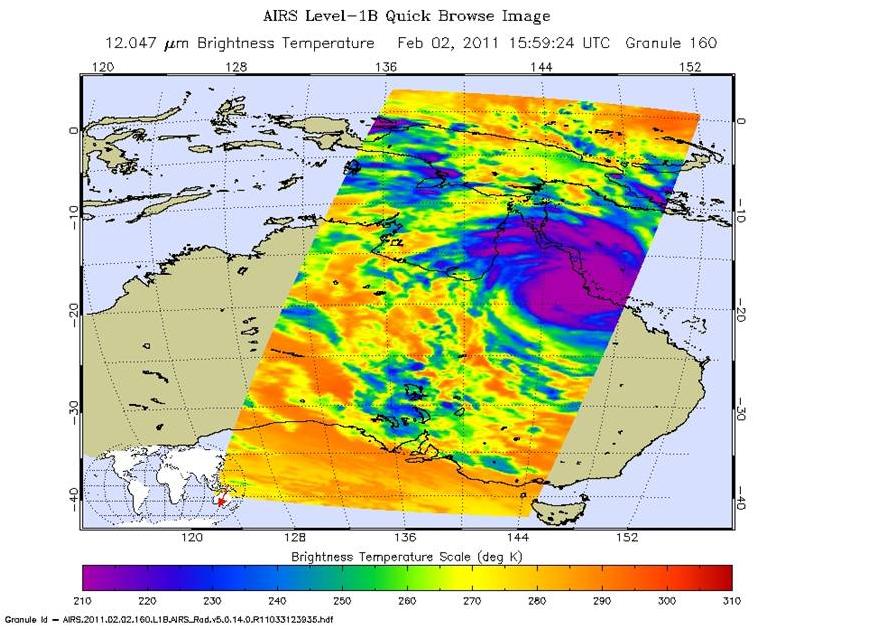
2011-02-02 | Earth |
Aqua |
AIRS |
900x695x3 |
|
|||||
|
|
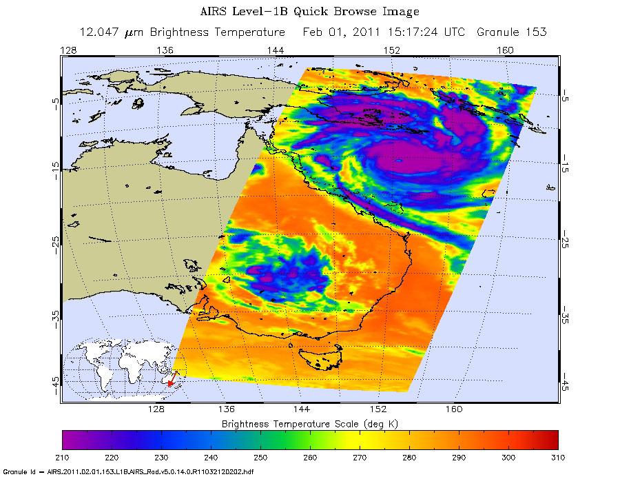
2011-02-02 | Earth |
Aqua |
AIRS |
1800x1150x3 |
|
|||||
|
|
2011-01-27 | Earth |
Terra |
ASTER |
445x435x1 |
|
|||||
|
|
2011-01-26 | Earth |
Terra |
ASTER |
3540x2489x3 |
|
|||||
|
|
2011-01-24 | Earth |
Terra |
ASTER |
1188x1015x3 |

|
|||||
|
|
2011-01-19 | Earth |
Terra |
ASTER |
1549x1523x3 |
|
|||||
|
|
2011-01-18 | Earth |
Terra |
ASTER |
2118x1917x3 |
|
|||||
|
|
2011-01-15 | Earth |
Terra |
ASTER |
1289x1127x3 |
|
|||||
|
|
2011-01-10 | Earth |
Terra |
ASTER |
3375x3069x3 |
|
|||||
|
|
2011-01-07 | Earth |
Terra |
ASTER |
1024x801x3 |
|
|||||
|
|
2010-12-17 | Earth |
Terra |
ASTER |
1230x1107x3 |

|
|||||
|
|
2010-12-16 | Earth |
Terra |
ASTER |
3816x3808x3 |
|
|||||
|
|
2010-12-14 | Earth |
Terra |
ASTER |
529x686x3 |

|
|||||
|
|
2010-12-01 | Earth |
Terra |
ASTER |
1460x1480x3 |

|
|||||
|
|
2010-11-18 | Earth |
Terra |
ASTER |
4320x2645x3 |
|
|||||
|
|
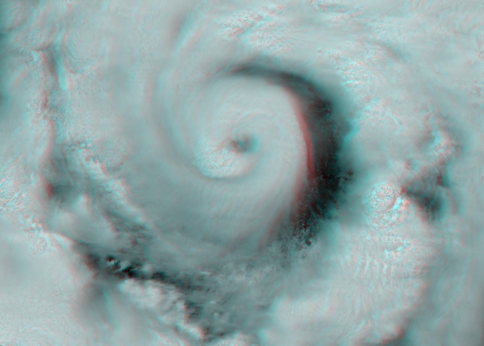
2010-11-16 | Earth |
Mars Science Laboratory (MSL) |
MAHLI |
1007x1305x3 |
|
|||||
|
|
2010-11-16 | Earth |
Mars Science Laboratory (MSL) |
MAHLI |
1190x1580x3 |
|
|||||
|
|
2010-11-16 | Earth |
Mars Science Laboratory (MSL) |
MAHLI |
1188x1566x3 |
|
|||||
|
|
2010-11-16 | Earth |
Mars Science Laboratory (MSL) |
MAHLI |
1600x1200x3 |
|
|||||
|
|
2010-11-10 | Earth |
Terra |
ASTER |
2700x2214x3 |
|
|||||
|
|
2010-11-08 | Earth |
Terra |
ASTER |
1536x1497x3 |
|
|||||
|
|
2010-11-03 | Earth |
Terra |
ASTER |
1725x1440x3 |
|
|||||
|
|
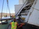
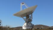
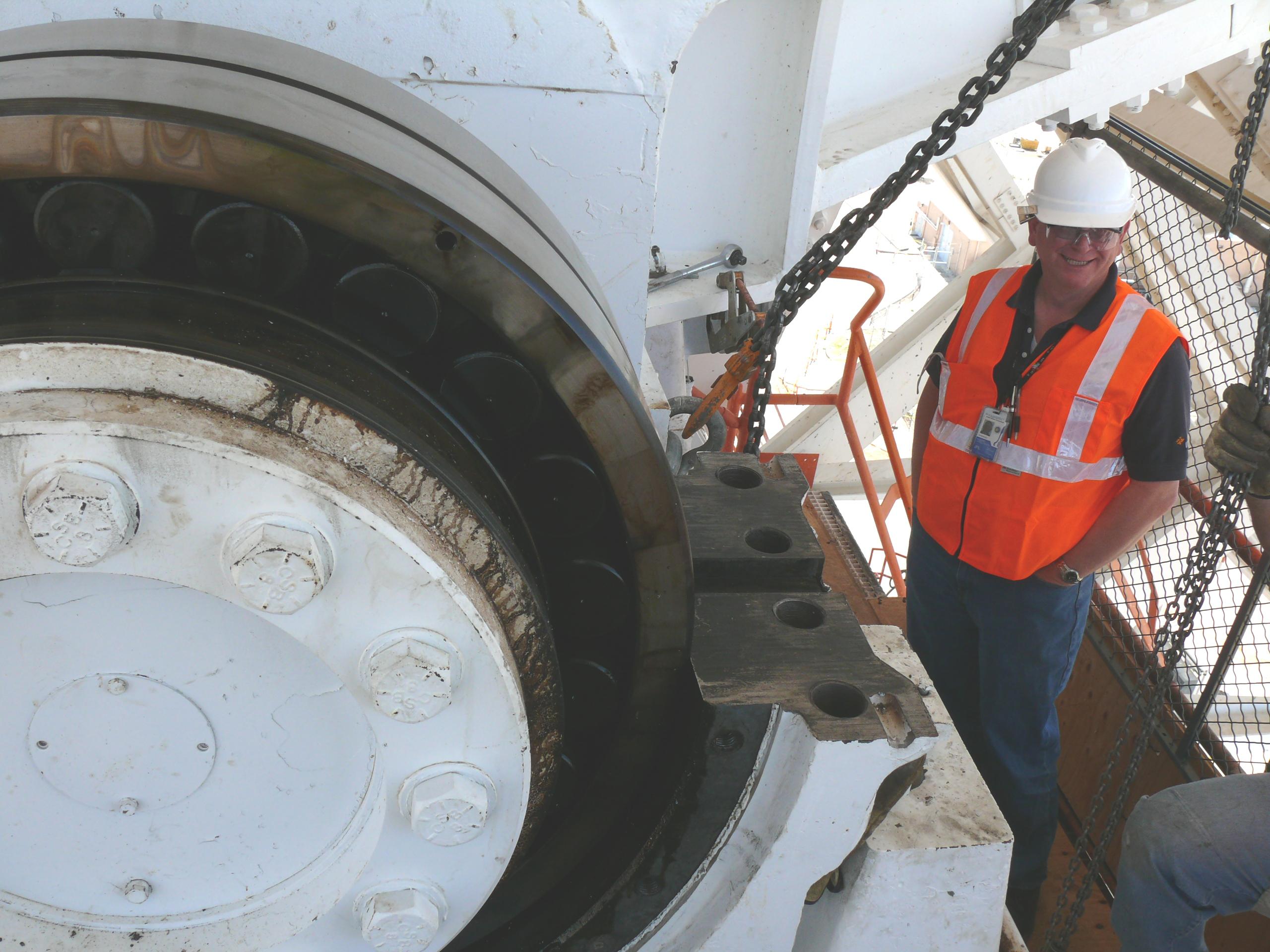
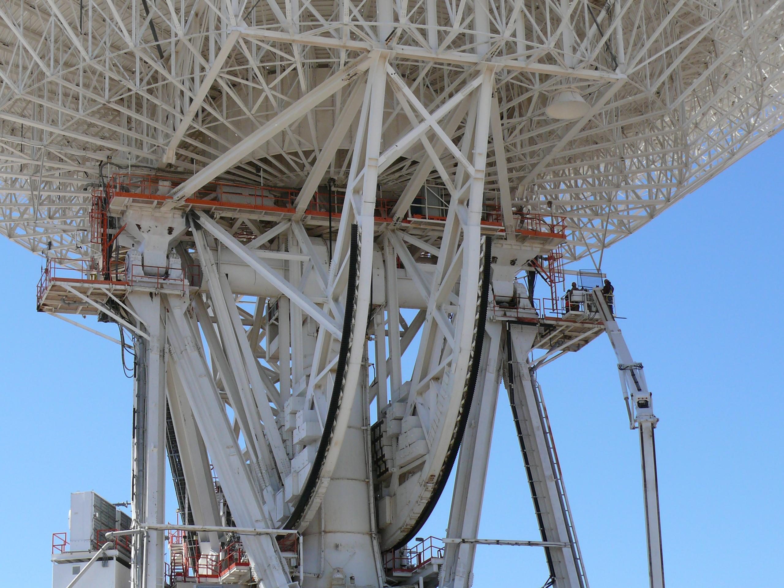
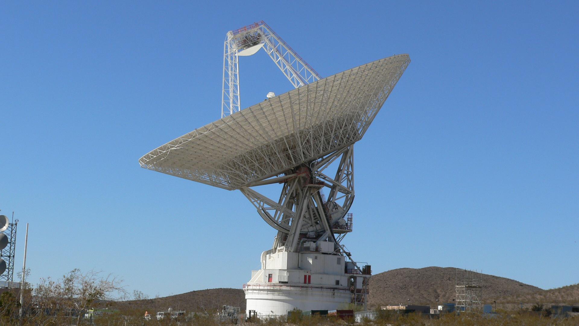
2010-11-03 | Earth |
Goldstone Deep Space Network (DSN) |
Deep Space Station 14 |
2592x3872x3 |
|
|||||
|
|
2010-11-03 | Earth |
Goldstone Deep Space Network (DSN) |
Deep Space Station 14 |
3872x2592x3 |
|
|||||
|
|
2010-11-03 | Earth |
Goldstone Deep Space Network (DSN) |
Deep Space Station 14 |
3872x2592x3 |
|
|||||
|
|
2010-11-03 | Earth |
Goldstone Deep Space Network (DSN) |
Deep Space Station 14 |
3264x2448x3 |
|
|||||
|
|
2010-11-03 | Earth |
Goldstone Deep Space Network (DSN) |
Deep Space Station 14 |
2448x3264x3 |

|
|||||
|
|
2010-11-03 | Earth |
Goldstone Deep Space Network (DSN) |
Deep Space Station 14 |
3264x2448x3 |
|
|||||
|
|
2010-11-03 | Earth |
Goldstone Deep Space Network (DSN) |
Deep Space Station 14 |
2560x1920x3 |
|
|||||
|
|
2010-11-03 | Earth |
Goldstone Deep Space Network (DSN) |
Deep Space Station 14 |
2560x1920x3 |
|
|||||
|
|
2010-11-03 | Earth |
Goldstone Deep Space Network (DSN) |
Deep Space Station 14 |
2560x1920x3 |
|
|||||
|
|
2010-11-03 | Earth |
Goldstone Deep Space Network (DSN) |
Deep Space Station 14 |
2560x1920x3 |
|
|||||
|
|
2010-11-03 | Earth |
Terra |
MISR |
1339x1356x3 |
|
|||||
|
|
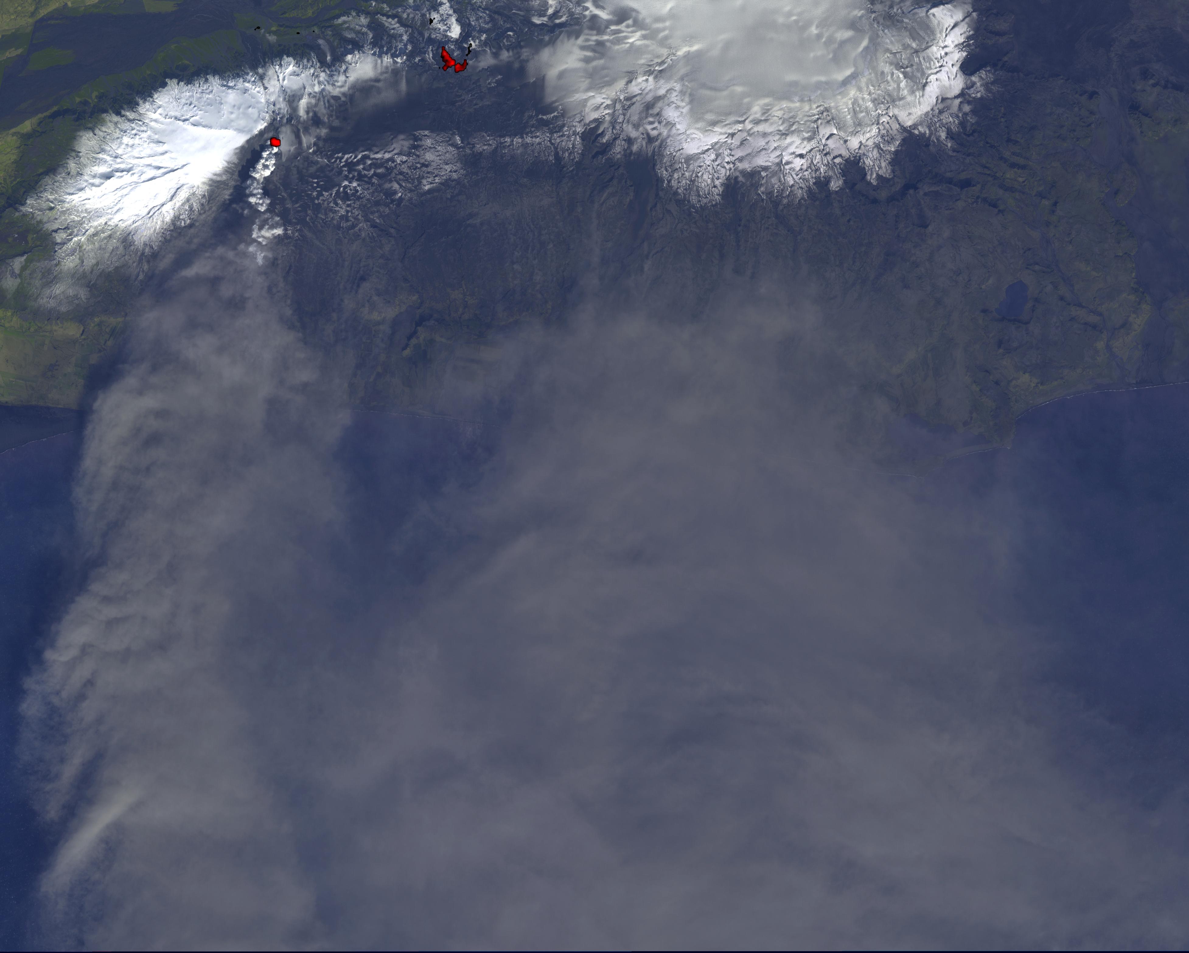
2010-10-25 | Earth |
Aerosol-Cloud-Ecosystem (ACE) |
AirMSPI |
1053x380x3 |
|
|||||
|
|
2010-10-11 | Earth |
Terra |
ASTER |
2256x958x3 |
|
|||||
|
|
2010-10-11 | Earth |
Terra |
ASTER |
3196x3372x3 |
|
|||||
|
|
2010-10-06 | Earth |
Terra |
MISR |
2278x1826x3 |
|
|||||
|
|
2010-10-05 | Earth |
Terra |
ASTER |
1400x1556x3 |

|
|||||
|
|
2010-09-29 | Earth |
Terra |
ASTER |
2316x3288x3 |

|
|||||
|
|
2010-09-17 | Earth |
Terra |
ASTER |
1604x1120x3 |
|
|||||
|
|
2010-09-15 | Earth |
Lunar Reconnaissance Orbiter (LRO) |
Lunar Reconnaissance Orbiter Camera (NAC) |
1050x1050x1 |
|
|||||
|
|
2010-09-13 | Earth |
Terra |
ASTER |
1757x1777x3 |

|
|||||
|
|
2010-09-07 | Earth |
Terra |
ASTER |
4003x11340x3 |
|
|
|||||
|
|
2010-09-07 | Earth |
Terra |
ASTER |
4003x11340x3 |
|
|
|||||
|
|
2010-09-02 | Earth |
Terra |
ASTER |
2908x2936x3 |
|
|||||
|
|
2010-09-02 | Earth |
Terra |
ASTER |
2361x2746x3 |
|
|||||
|
|
2010-09-02 | Earth |
Terra |
MISR |
2268x2244x3 |
|
|||||
|
|
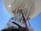
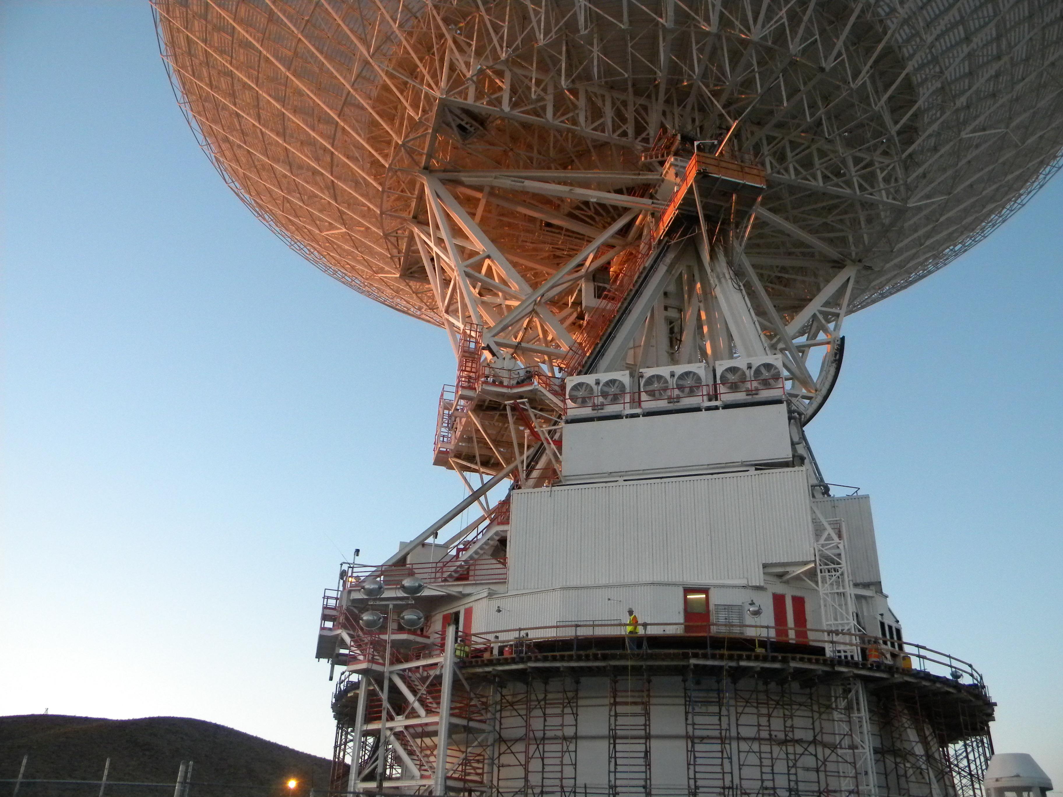
2010-08-25 | Earth |
Goldstone Deep Space Network (DSN) |
Deep Space Network Antenna |
4000x3000x3 |
|
|||||
|
|
2010-08-25 | Earth |
Goldstone Deep Space Network (DSN) |
Deep Space Network Antenna |
4000x3000x3 |
|
|||||
|
|
2010-08-25 | Earth |
Goldstone Deep Space Network (DSN) |
Deep Space Network Antenna |
1920x1080x3 |
|
|||||
|
|
2010-08-20 | Earth |
Terra |
ASTER |
4159x5176x3 |
|
|||||
|
|
2010-08-19 | Earth |
Aqua |
AIRS |
1200x901x3 |

|
|||||
|
|
2010-08-19 | Earth |
Terra |
AIRS |
2000x987x3 |
|
|||||
|
|
2010-08-19 | Earth |
CloudSat |
Cloud Profiling Radar (CPR) MODIS |
1055x1419x3 |

|
|||||
|
|
2010-08-18 | Earth |
Terra |
MISR |
2200x1544x3 |
|
|||||
|
|
2010-08-17 | Earth |
MESSENGER |
MDIS - Wide Angle |
1018x1024x1 |
|
|||||
|
|
2010-08-12 | Earth |
Terra |
ASTER |
1548x1000x3 |

|
|||||
|
|
2010-08-07 | Earth |
Terra |
AIRS |
3200x4800x3 |
|
|||||
|
|
2010-08-04 | Earth |
UAVSAR |
L-Band UAVSAR |
2256x1464x3 |

|
|||||
|
|
2010-08-03 | Earth |
Terra |
ASTER |
1452x1200x3 |
|
|||||
|
|
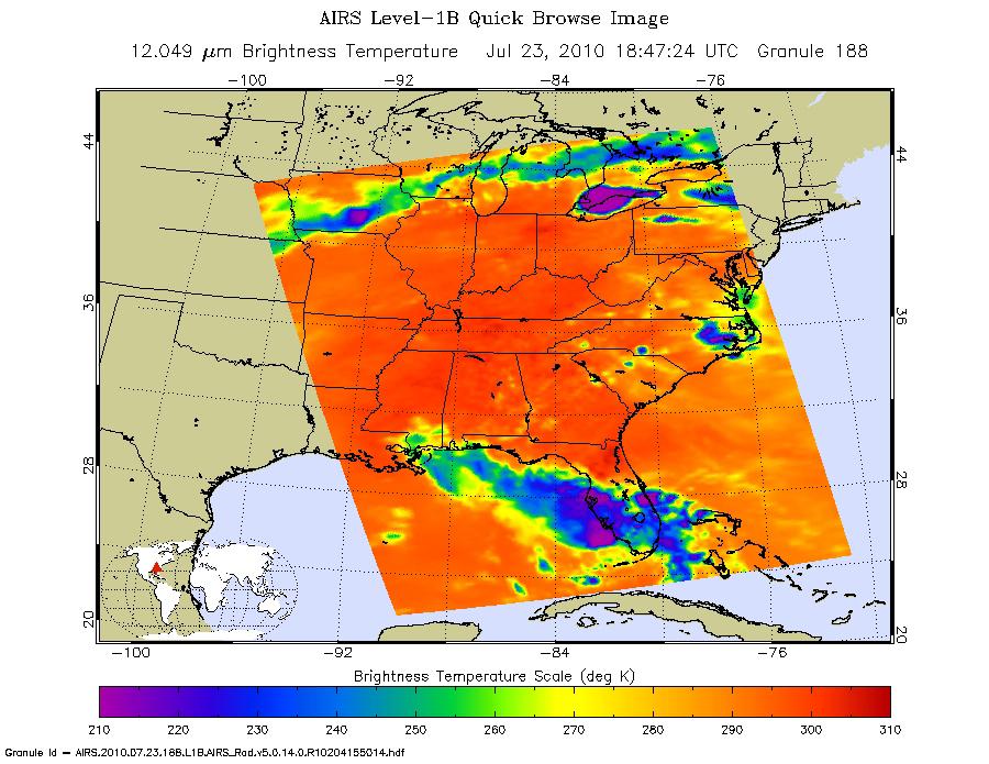
2010-07-24 | Earth |
Terra |
AIRS |
900x695x3 |
|
|||||
|
|
2010-07-15 | Earth |
Goldstone Deep Space Network (DSN) |
Deep Space Network Antenna |
3648x2736x3 |

|
|||||
|
|
2010-07-15 | Earth |
Goldstone Deep Space Network (DSN) |
Deep Space Network Antenna |
3648x2736x3 |
|
|||||
|
|
2010-07-15 | Earth |
Goldstone Deep Space Network (DSN) |
Deep Space Network Antenna |
3648x2736x3 |

|
|||||
|
|
2010-07-07 | Earth |
GRACE |
K-Band Ranging System |
777x745x3 |

|
|||||
|
|
2010-07-07 | Earth |
Terra |
MISR |
1656x1182x3 |
|
|||||
|
|
2010-07-01 | Earth |
UAVSAR |
L-Band UAVSAR |
1280x720x3 |
|
|||||
|
|
2010-06-23 | Earth |
UAVSAR |
L-Band UAVSAR |
3864x2640x3 |
|
|||||
|
|
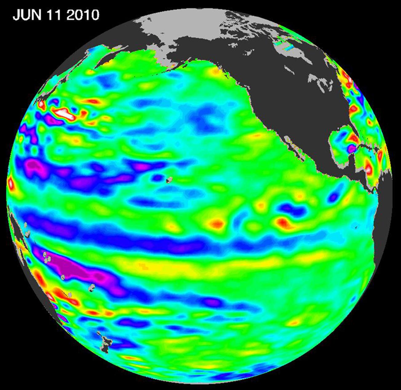
2010-06-22 | Earth |
OSTM/Jason-2 |
Altimeter |
1304x1268x3 |
|
|||||
|
|
2010-06-02 | Earth |
Terra |
MISR |
801x866x3 |

|
|||||
|
|
2010-05-27 | Earth |
AVIRIS |
324x523x3 | |

|
|||||
|
|
2010-05-26 | Earth |
Terra |
ASTER |
2800x2100x3 |
|
|||||
|
|
2010-05-24 | Earth |
OSTM/Jason-2 |
Altimeter |
612x627x3 |

|
|||||
|
|
2010-05-20 | Earth |
Terra |
MISR |
1257x1406x3 |

|
|||||
|
|
2010-05-18 | Earth |
Terra |
MISR |
1000x676x3 |

|
|||||
|
|
2010-05-18 | Earth |
Terra |
MISR |
2295x2673x3 |
|
|||||
|
|
2010-05-17 | Earth |
Aqua |
AIRS |
2417x1887x3 |
|
|||||
|
|
2010-05-14 | Earth |
Terra |
MISR |
1734x2020x3 |

|
|||||
|
|
2010-05-07 | Earth |
Terra |
ASTER |
1368x2791x1 |
|
|
|||||
|
|
2010-05-06 | Earth |
Terra |
MISR |
947x754x1 |

|
|||||
|
|
2010-05-05 | Earth |
Earth Observing-1 (EO-1) |
Hyperion Hyperspectral Imager |
790x552x3 |
|
|||||
|
|
2010-05-05 | Earth |
Terra |
ASTER |
950x486x3 |
|
|||||
|
|
2010-05-04 | Earth |
Terra |
ASTER |
940x607x1 |

|
|||||
|
|
2010-05-03 | Earth |
Terra |
ASTER |
2664x2108x3 |
|
|||||
|
|
2010-05-03 | Earth |
Terra |
ASTER |
5275x6928x3 |
|
|||||
|
|
2010-04-23 | Earth |
Terra |
ASTER |
1530x700x3 |

|
|||||
|
|
2010-04-21 | Earth |
Terra |
MISR |
5814x2778x3 |
|
|||||
|
|
2010-04-21 | Earth |
Earth Observing-1 (EO-1) |
Advanced Land Imager (ALI) |
1248x1110x3 |

|
|||||
|
|
2010-04-20 | Earth |
Terra |
MISR |
1500x1015x3 |
|
|||||
|
|
2010-04-20 | Earth |
Terra |
MISR |
1500x1015x3 |
|
|||||
|
|
2010-04-19 | Earth |
Terra |
ASTER |
3908x3132x3 |
|
|||||

|
 |
|
|
|
|
|
|
|
|
|

|
| 1-100 | 101-200 | 201-300 | 301-400 | 401-500 | 501-600 | 601-700 | 701-800 | 801-900 | 901-1000 |
| Currently displaying images: 1001 - 1100 of 2277 |