|
Your search criteria found 2277 images Target is Earth |
| My List |
Addition Date | Target | Mission | Instrument |
Size
|

|
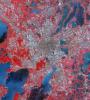
2018-12-03 | Earth |
Terra |
ASTER |
3800x2800x3 |
|
|||||
|
|
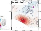
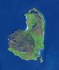
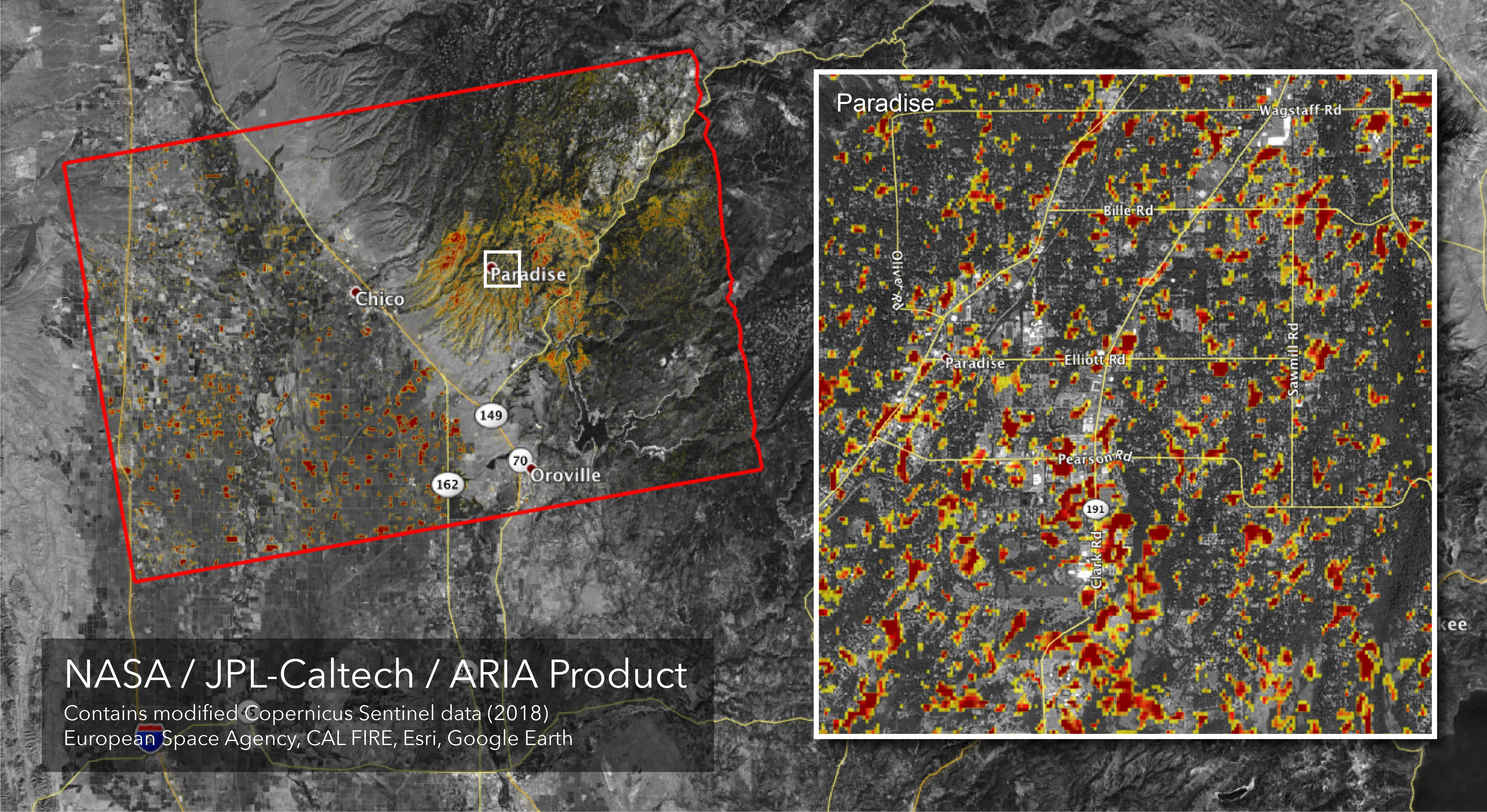
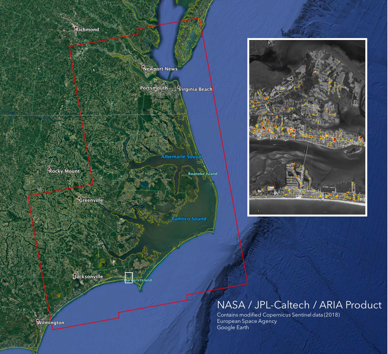
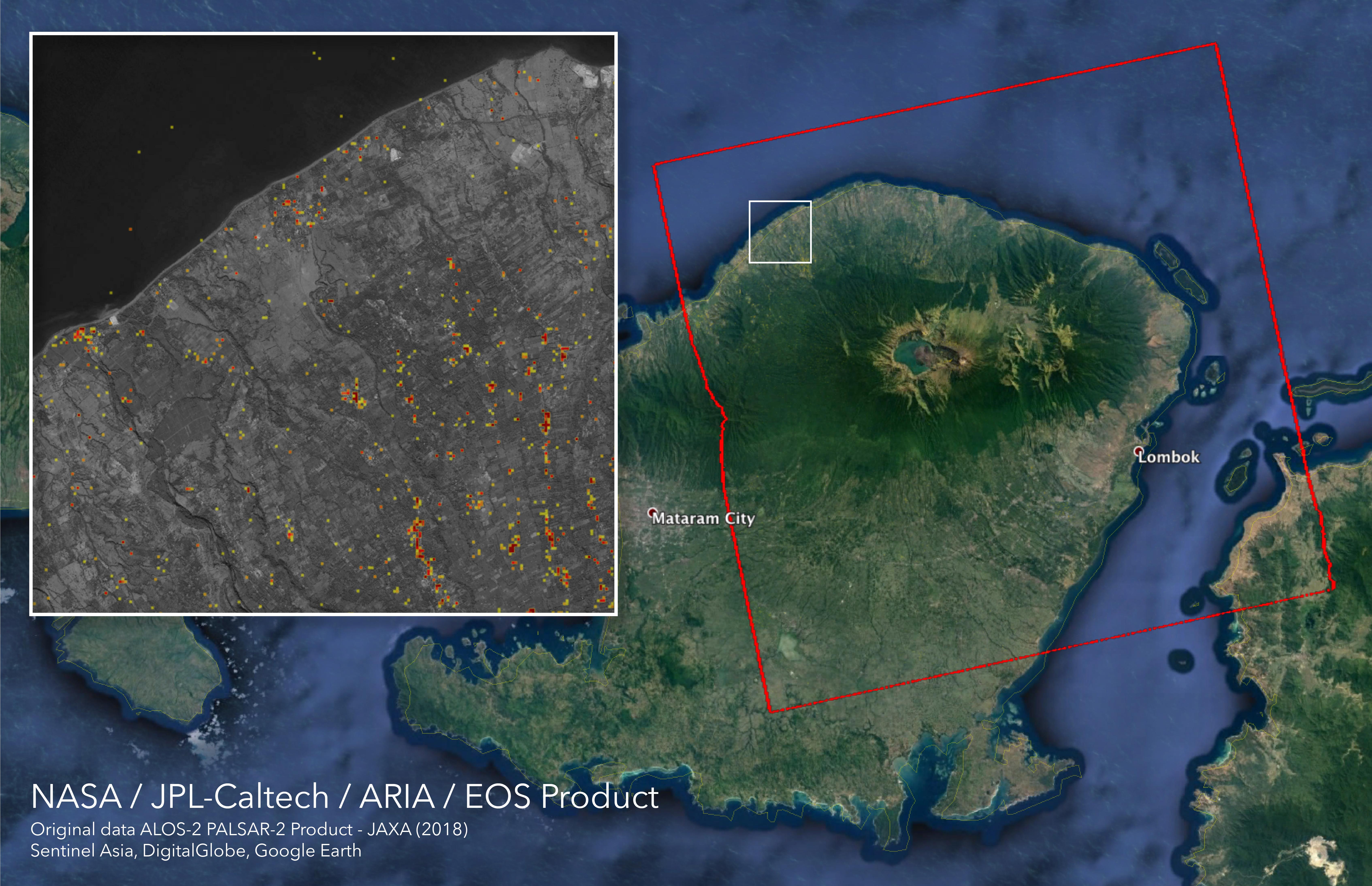
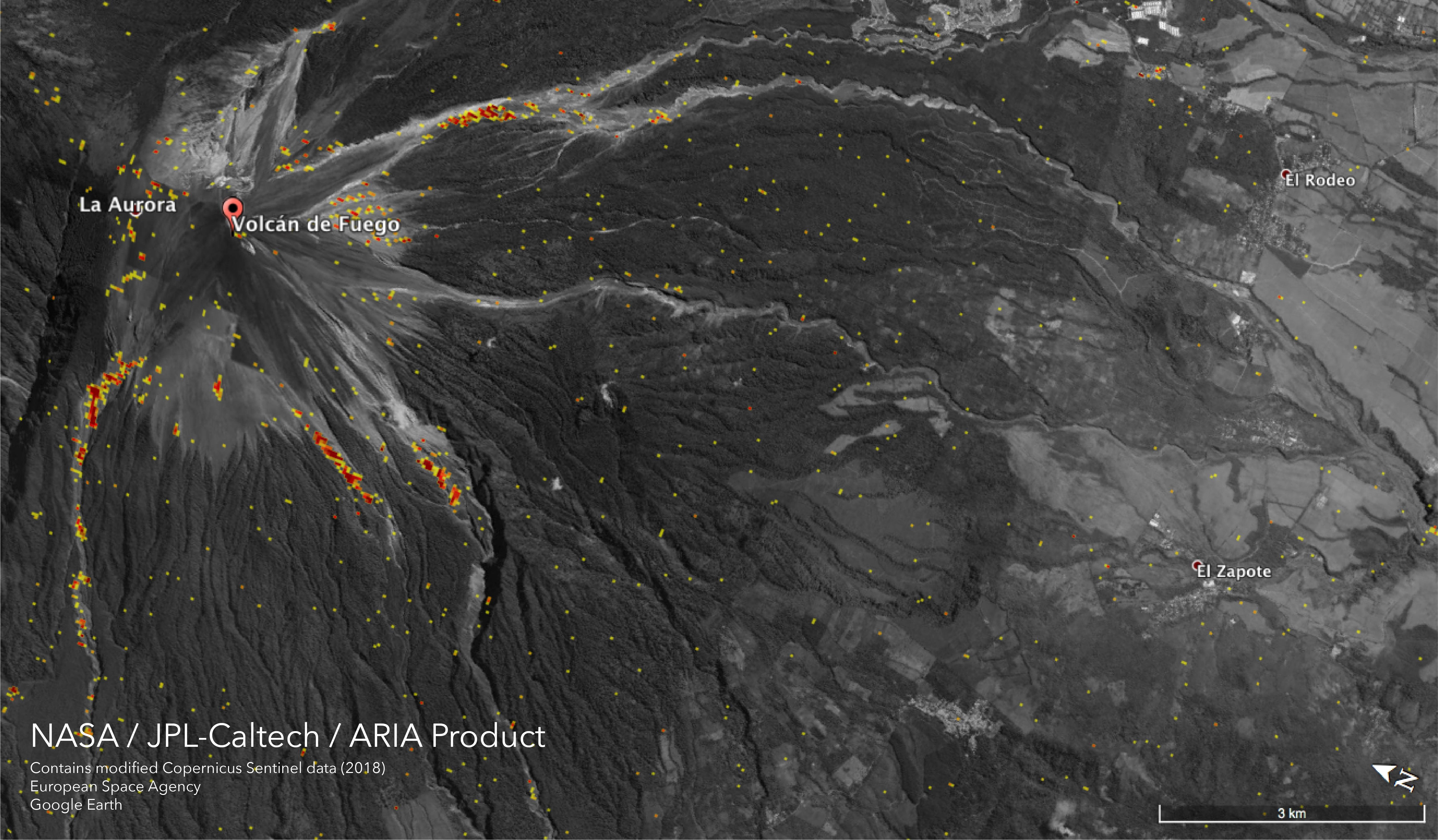
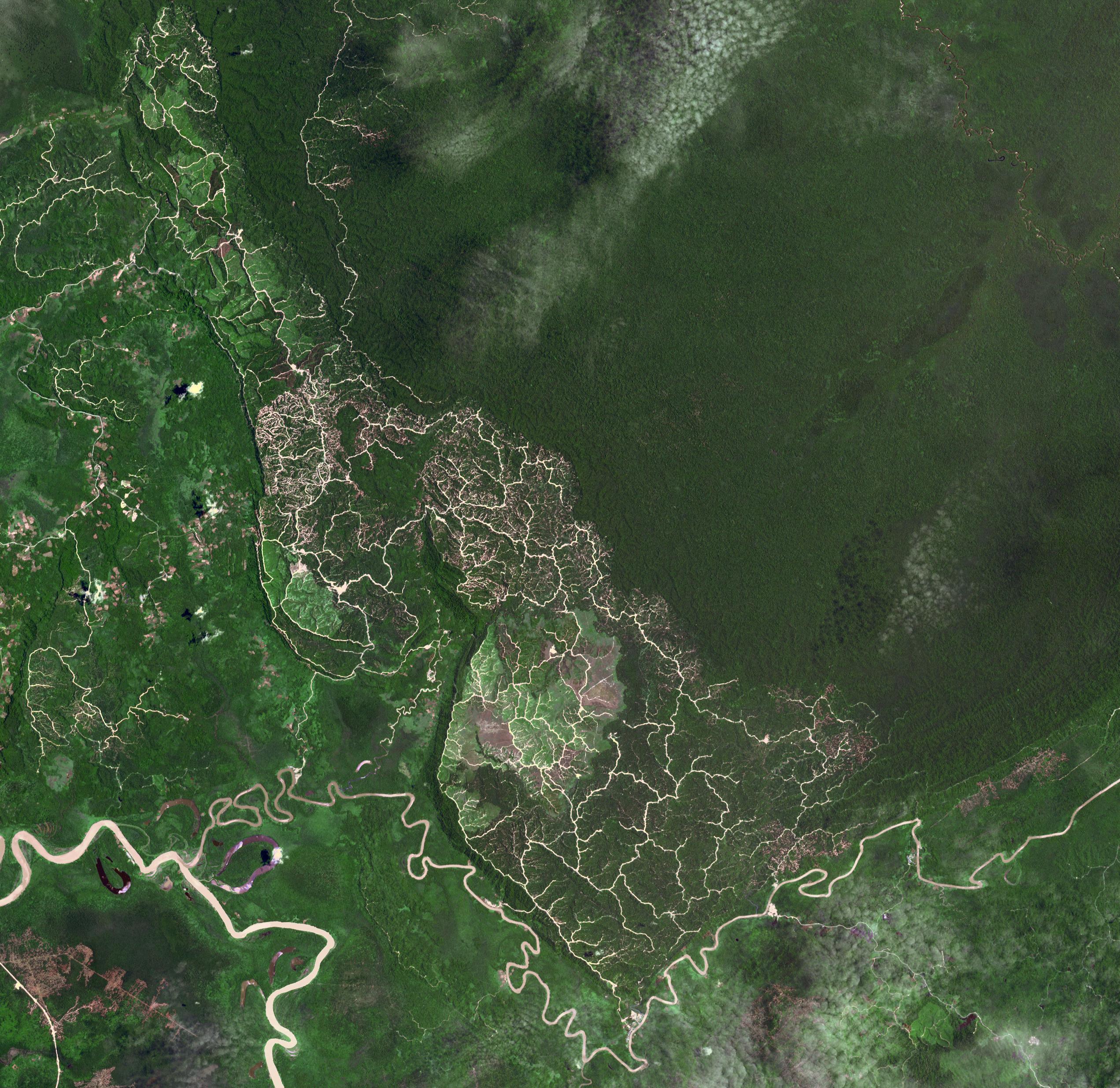
2018-11-19 | Earth |
ARIA |
SAR |
5949x3249x3 |
|
|||||
|
|
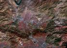
2018-11-13 | Earth |
Terra |
ASTER |
1800x1200x3 |
|
|||||
|
|
2018-11-12 | Earth |
Terra |
MISR |
2624x5022x3 |
|
|||||
|
|
2018-11-12 | Earth |
Terra |
MISR |
4499x1423x3 |
|
|||||
|
|
2018-11-12 | Earth |
ARIA |
SAR |
5176x2873x3 |
|
|||||
|
|
2018-11-02 | Earth |
Terra |
ASTER |
1929x2283x3 |
|
|||||
|
|
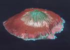
2018-10-31 | Earth |
Terra |
ASTER |
2274x1917x3 |
|
|||||
|
|
2018-10-17 | Earth |
Terra |
ASTER |
4000x3069x3 |
|
|||||
|
|
2018-10-16 | Earth |
Terra |
MISR |
4200x5400x3 |
|
|||||
|
|
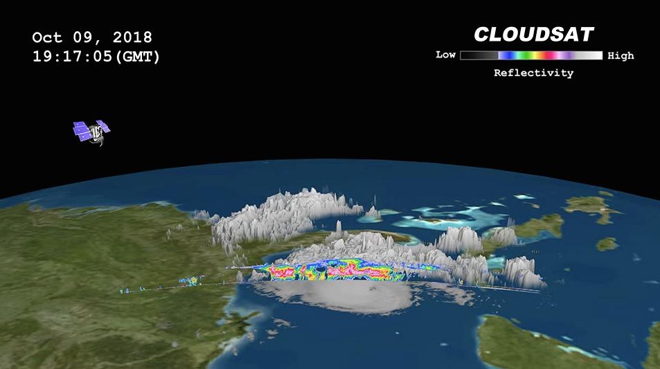
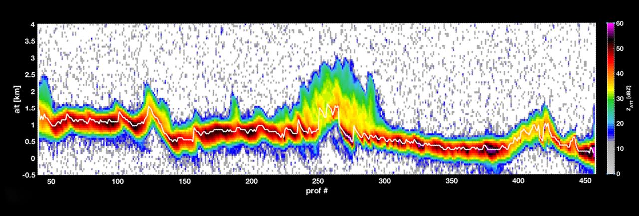
2018-10-11 | Earth |
CloudSat |
Cloud Profiling Radar (CPR) |
953x533x3 |
|
|||||
|
|
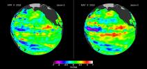
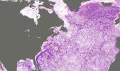
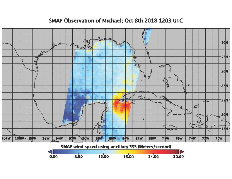
2018-10-11 | Earth |
SMAP |
2991x1065x3 | |
|
|||||
|
|
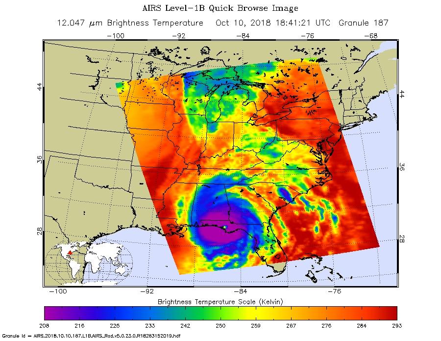
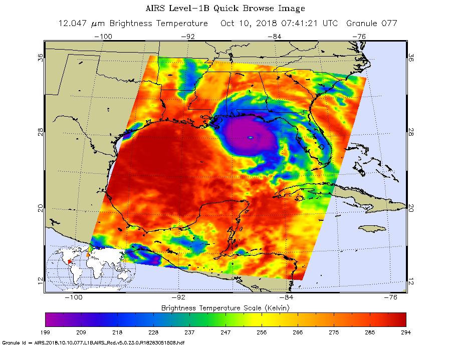
2018-10-10 | Earth |
Aqua |
AIRS |
900x695x3 |
|
|||||
|
|
2018-10-10 | Earth |
SMAP |
792x612x3 | |

|
|||||
|
|
2018-10-10 | Earth |
Terra |
MISR |
3957x1343x3 |
|
|||||
|
|
2018-10-10 | Earth |
Terra |
MISR |
6500x4726x3 |

|
|||||
|
|
2018-10-10 | Earth |
Aqua |
AIRS |
900x695x3 |
|
|||||
|
|
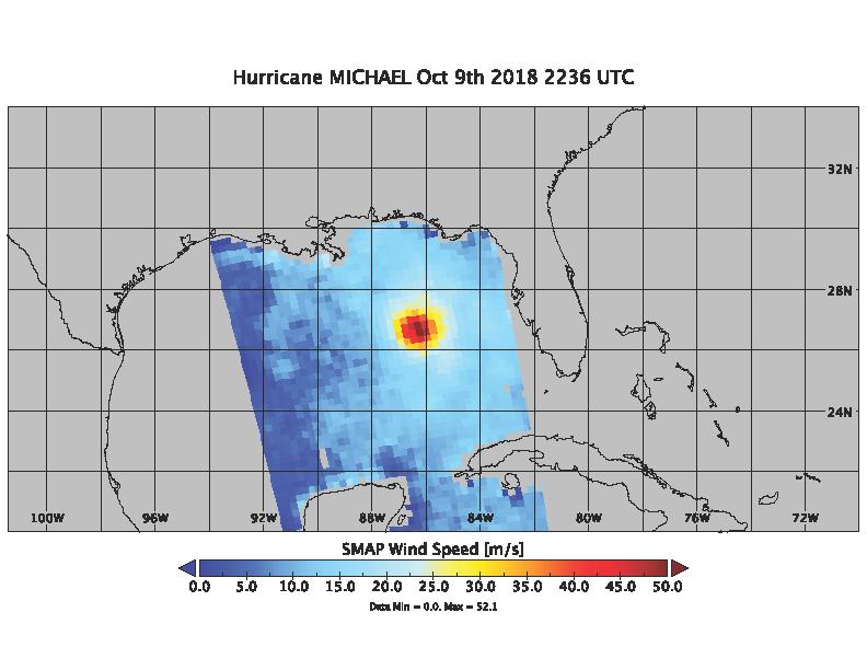
2018-10-09 | Earth |
SMAP |
792x612x3 | |
|
|||||
|
|
2018-10-05 | Earth |
Terra |
ASTER |
3426x4083x3 |

|
|||||
|
|
2018-10-05 | Earth |
ARIA |
SAR |
5630x4092x3 |
|
|||||
|
|
2018-10-04 | Earth |
Terra |
ASTER |
1368x1440x3 |
|
|||||
|
|
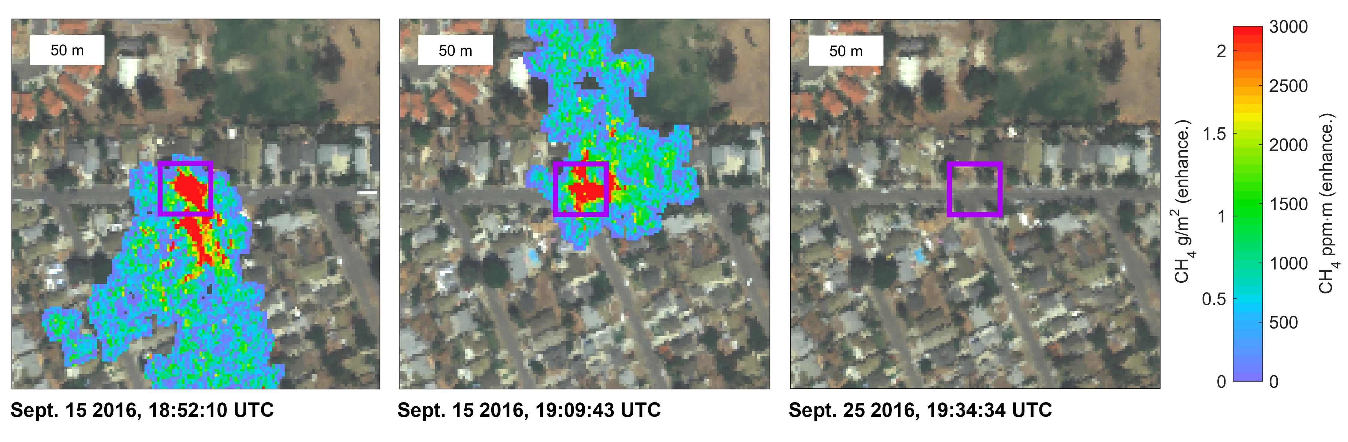
2018-09-25 | Earth |
CubeSat |
1280x434x3 | |

|
|||||
|
|
2018-09-25 | Earth |
CubeSat |
478x318x3 | |
|
|||||
|
|
2018-09-20 | Earth |
CubeSat |
790x787x3 | |
|
|||||
|
|
2018-09-19 | Earth |
Terra |
ASTER |
1917x1468x3 |
|
|||||
|
|
2018-09-18 | Earth |
ECOSTRESS |
1473x1105x3 | |
|
|||||
|
|
2018-09-18 | Earth |
ARIA |
SAR |
1231x1077x3 |
|
|||||
|
|
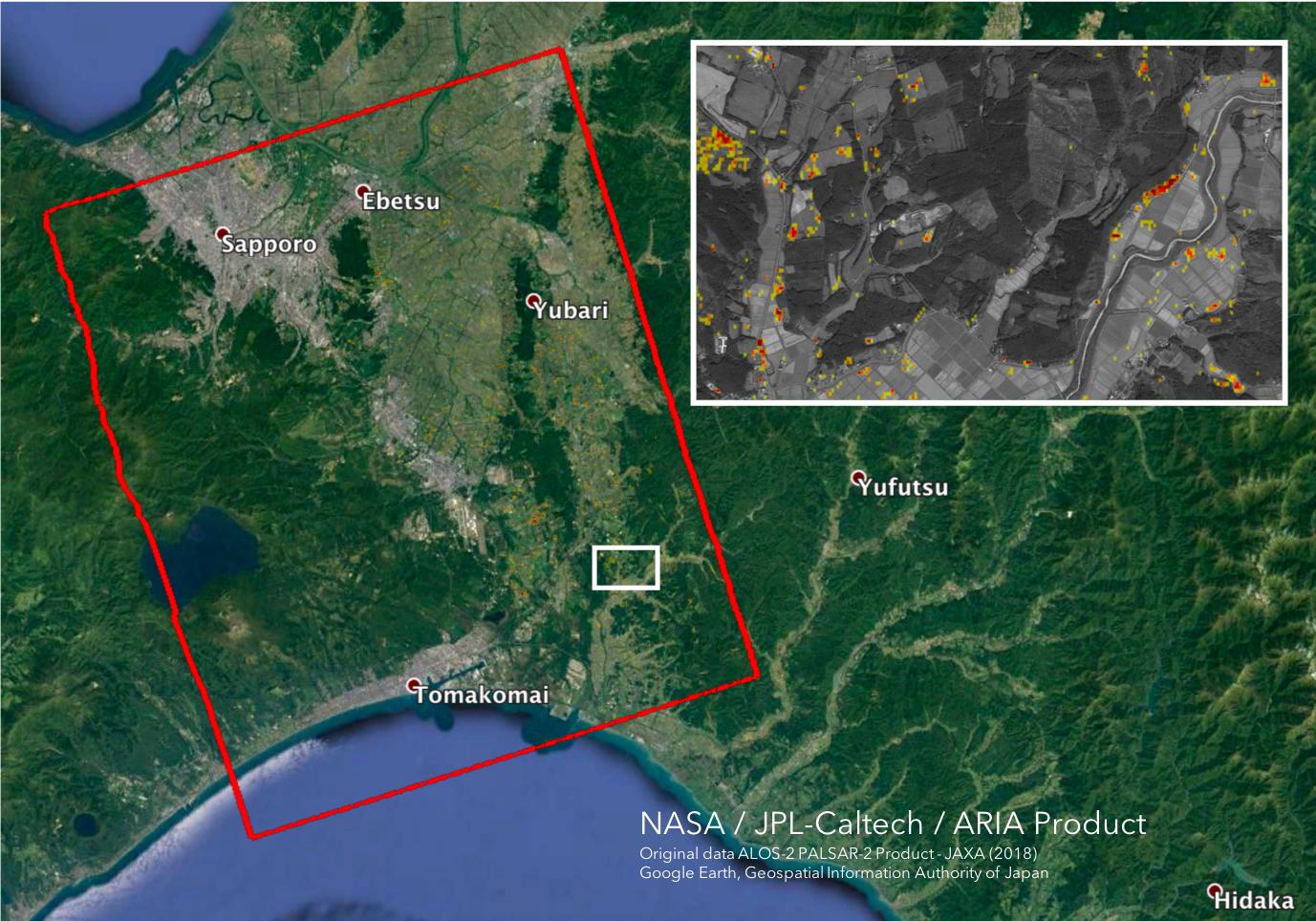
2018-09-17 | Earth |
ARIA |
SAR |
1233x1125x3 |

|
|||||
|
|
2018-09-14 | Earth |
Terra |
ASTER MODIS |
804x1627x3 |
|
|
|||||
|
|
2018-09-14 | Earth |
Terra |
MISR |
3966x1349x3 |

|
|||||
|
|
2018-09-14 | Earth |
Terra |
MISR |
2493x4095x3 |
|
|||||
|
|
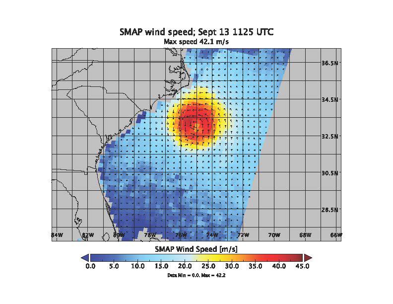
2018-09-13 | Earth |
SMAP |
792x612x3 | |
|
|||||
|
|
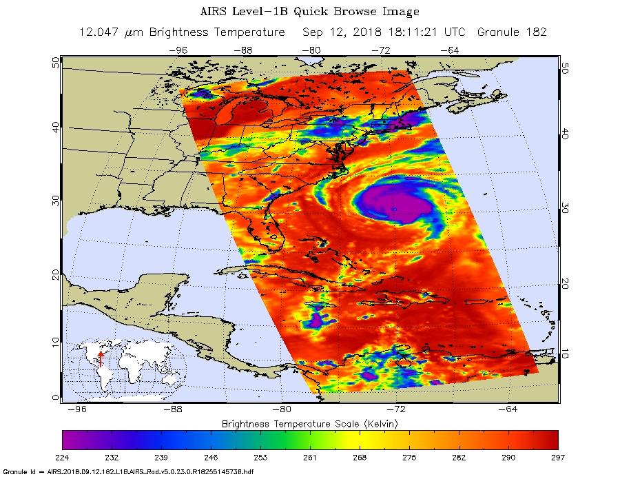
2018-09-12 | Earth |
Aqua |
AIRS |
900x695x3 |
|
|||||
|
|
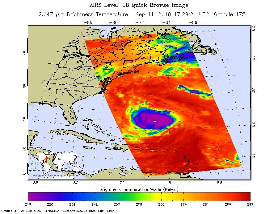
2018-09-12 | Earth |
Aqua |
AIRS |
900x695x3 |
|
|||||
|
|
2018-09-10 | Earth |
ARIA |
SAR |
1377x964x3 |
|
|||||
|
|
2018-09-05 | Earth |
ARIA |
SAR |
6776x4377x3 |
|
|||||
|
|
2018-09-05 | Earth |
Terra |
ASTER |
1241x1407x3 |

|
|||||
|
|
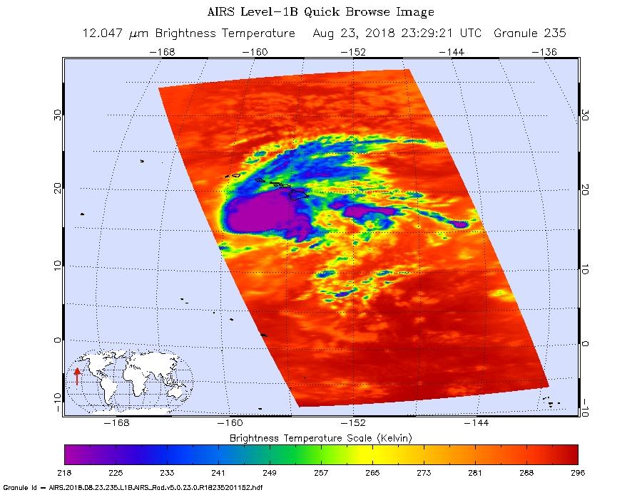
2018-08-25 | Earth |
Terra |
MISR |
1963x2502x1 |
|
|||||
|
|
2018-08-24 | Earth |
Aqua |
AIRS |
900x695x3 |
|
|||||
|
|
2018-08-22 | Earth |
Terra |
ASTER |
2429x1856x3 |
|
|||||
|
|
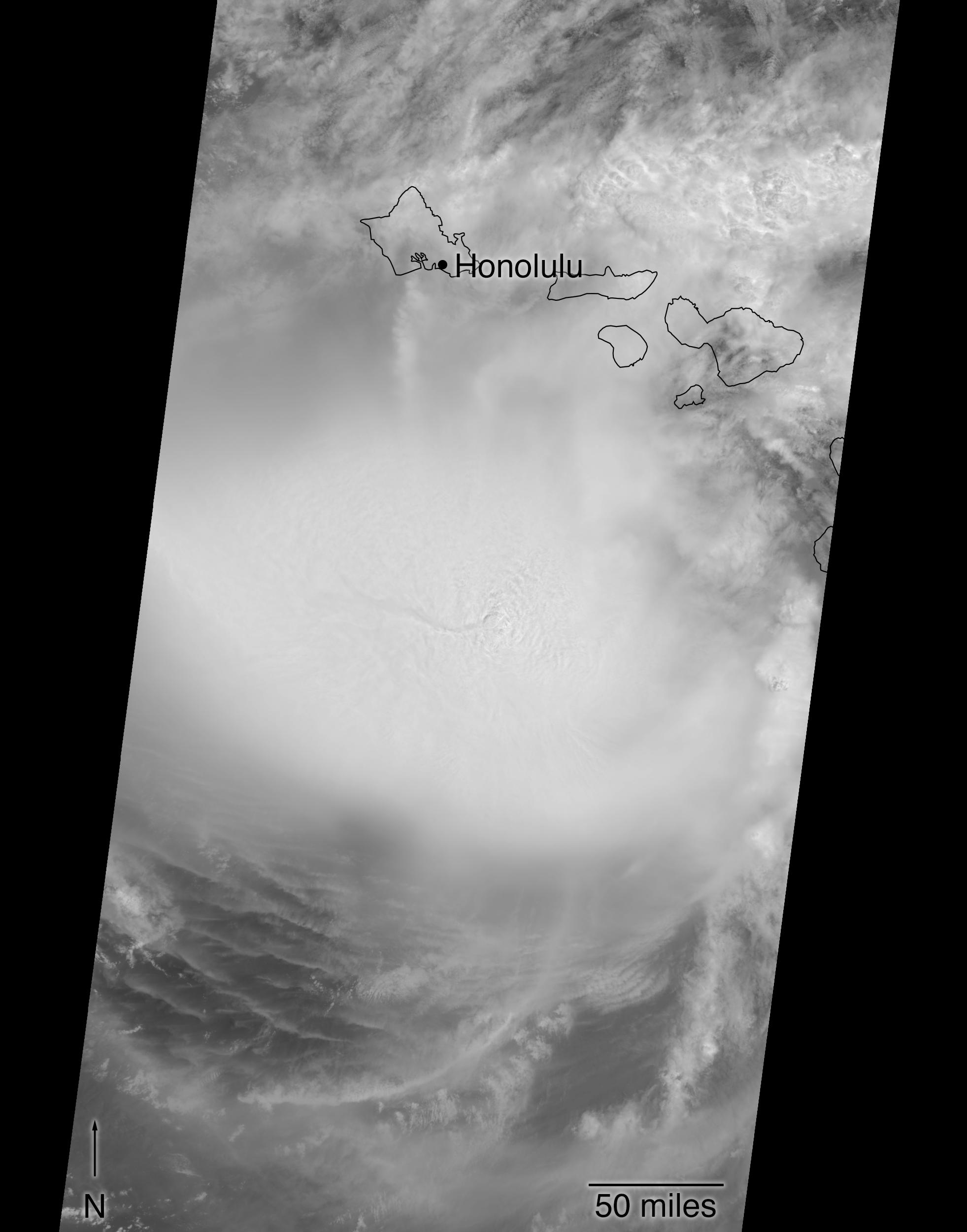
2018-08-14 | Earth |
Aqua |
AIRS |
950x534x3 |
|
|||||
|
|
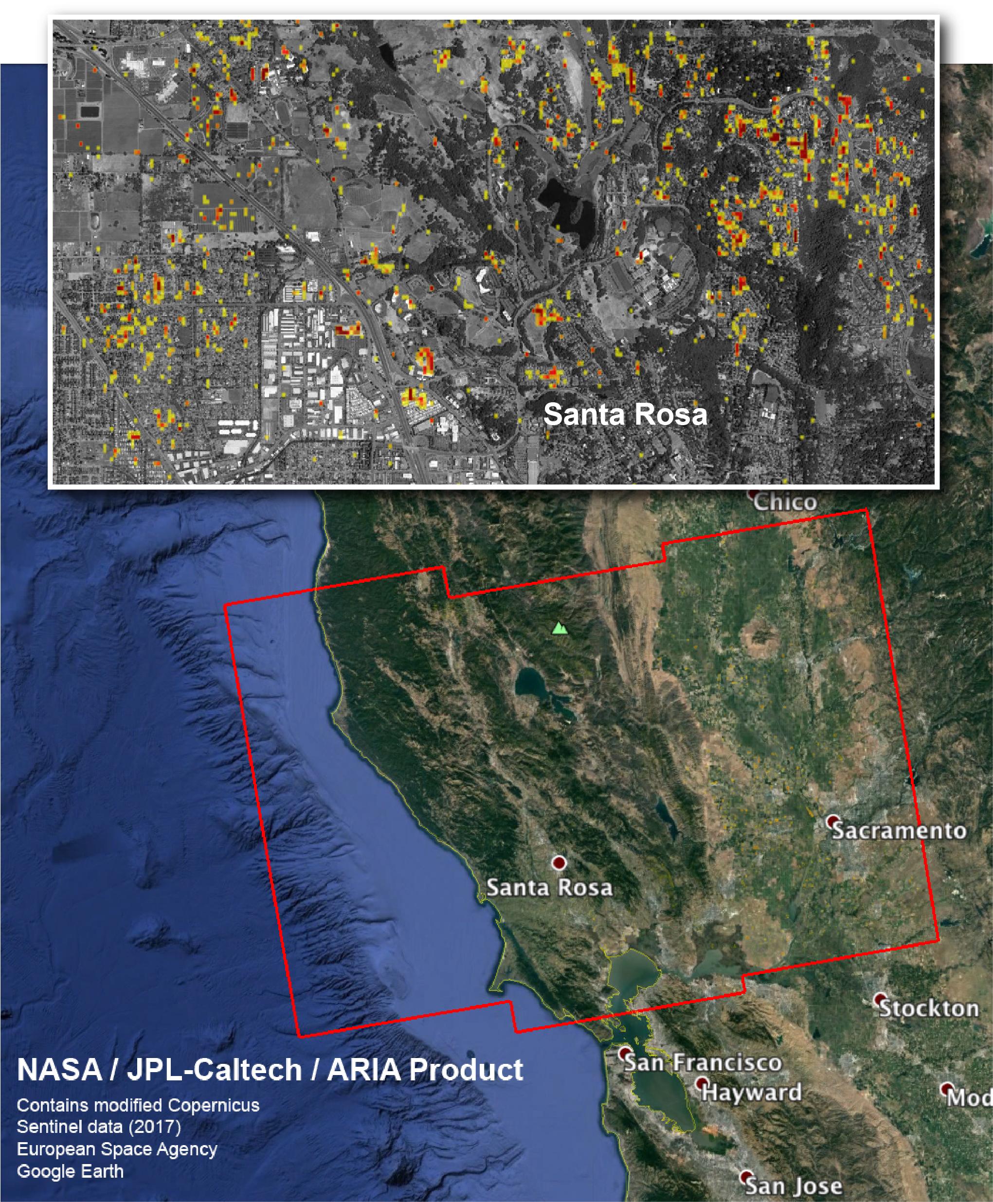
2018-08-08 | Earth |
ARIA |
4135x2584x3 | |
|
|||||
|
|
2018-08-02 | Earth |
ECOSTRESS |
740x697x3 | |
|
|||||
|
|
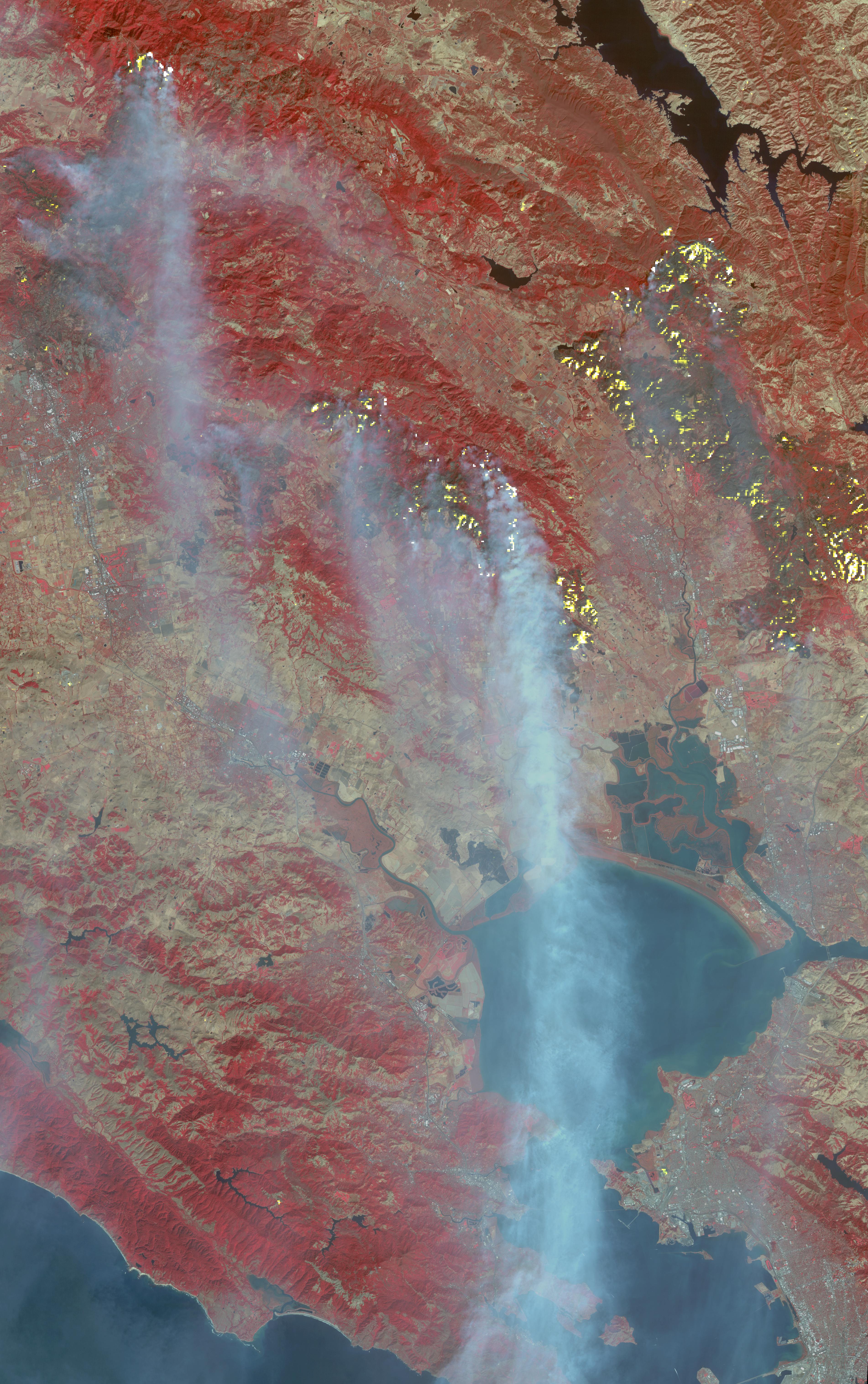
2018-08-01 | Earth |
Terra |
MISR |
4200x3300x3 |
|
|||||
|
|
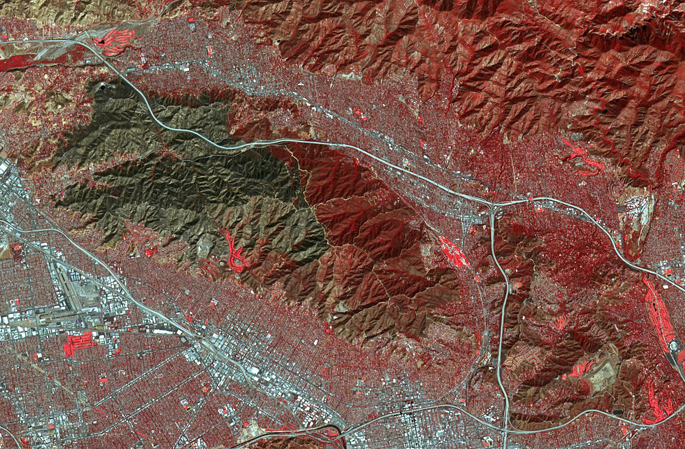
2018-07-31 | Earth |
Terra |
MISR |
1629x1019x3 |
|
|||||
|
|
2018-07-28 | Earth |
Terra |
ASTER |
1280x720x3 |
|
|||||
|
|
2018-07-26 | Earth |
Terra |
ASTER |
1238x1022x3 |

|
|||||
|
|
2018-07-23 | Earth |
ECOSTRESS |
741x708x3 | |
|
|||||
|
|
2018-07-17 | Earth |
Terra |
ASTER |
3768x2469x3 |
|
|||||
|
|
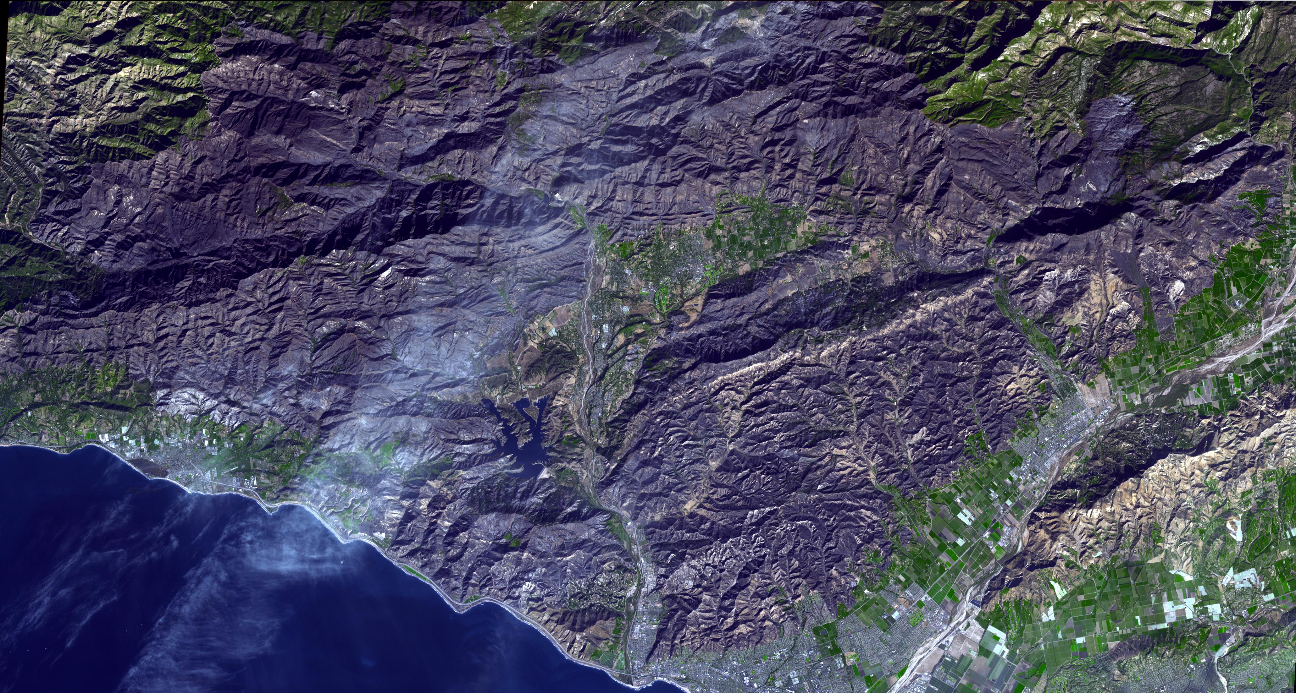
2018-06-28 | Earth |
Terra |
ASTER |
1689x1434x3 |
|
|||||
|
|
2018-06-28 | Earth |
Terra |
ASTER |
1533x1550x3 |
|
|||||
|
|
2018-06-26 | Earth |
Terra |
ASTER |
2300x1800x3 |
|
|||||
|
|
2018-06-15 | Earth |
ARIA |
5493x3209x3 | |
|
|||||
|
|
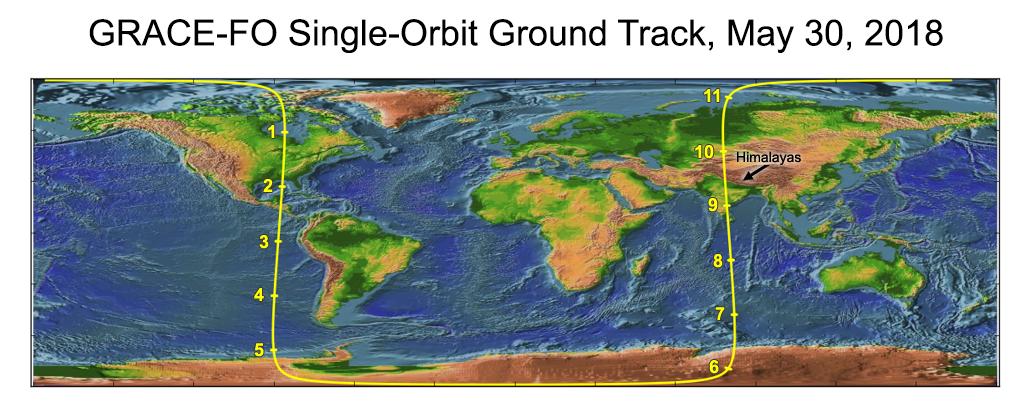
2018-06-11 | Earth |
GRACE-FO |
Microwave Ranging Instrument |
1032x409x3 |

|
|||||
|
|
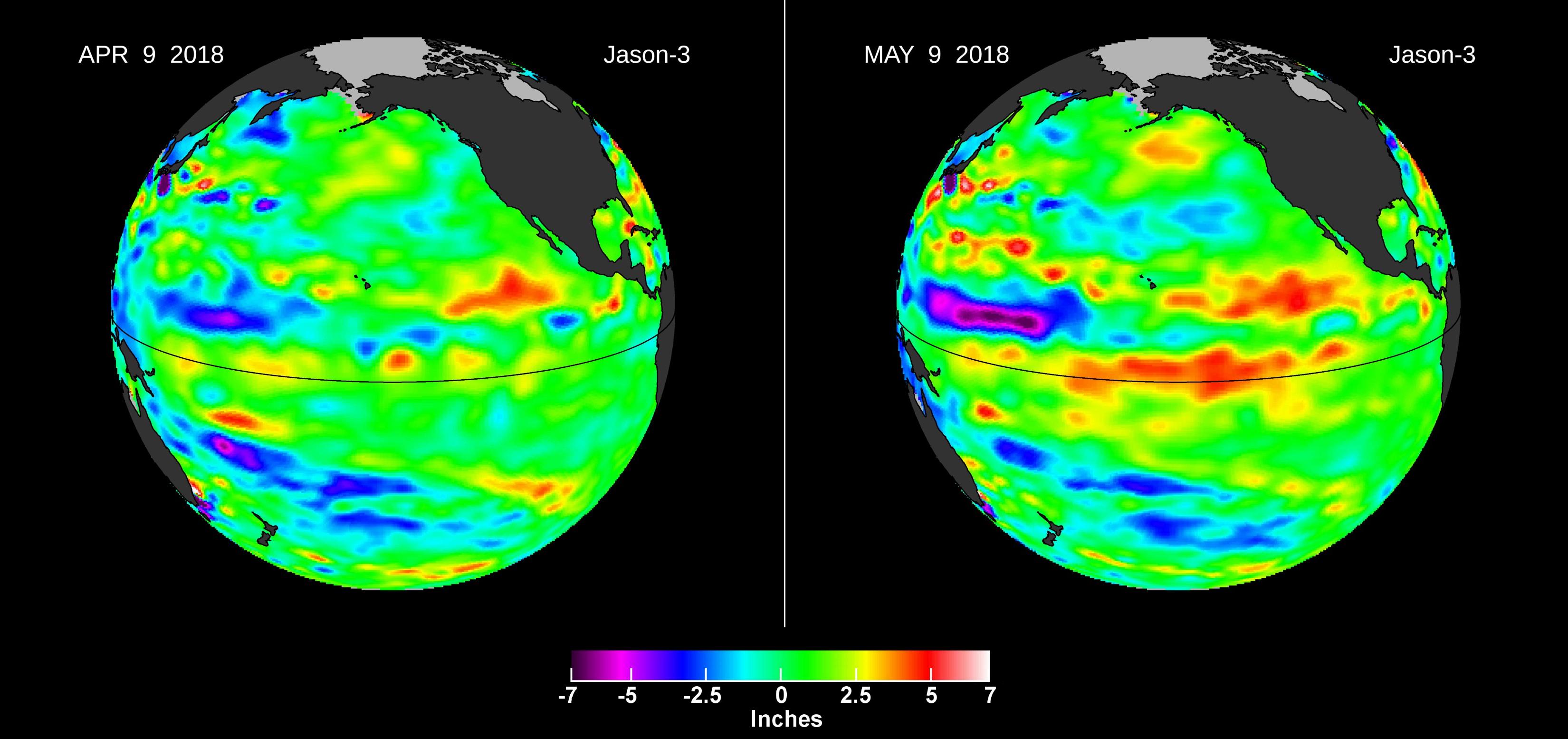
2018-06-06 | Earth |
Jason-3 |
3300x1555x3 | |
|
|||||
|
|
2018-06-01 | Earth |
AVIRIS-NG |
4500x1476x3 | |

|
|||||
|
|
2018-06-01 | Earth |
AVIRIS-NG |
4500x1476x3 | |
|
|||||
|
|
2018-05-25 | Earth |
Terra |
ASTER |
1459x1049x3 |
|
|||||
|
|
2018-05-24 | Earth |
Terra |
ASTER |
2177x2242x3 |

|
|||||
|
|
2018-05-15 | Earth |
MarCO |
1151x734x3 | |
|
|||||
|
|
2018-05-09 | Earth |
Terra |
MISR |
794x1019x3 |
|
|||||
|
|
2018-05-07 | Earth |
Terra |
ASTER |
3856x4200x3 |
|
|||||
|
|
2018-05-03 | Earth |
Terra |
ASTER |
2149x1905x3 |

|
|||||
|
|
2018-05-02 | Earth |
Terra |
MISR |
792x1019x3 |
|
|||||
|
|
2018-04-13 | Earth |
Terra |
ASTER |
1365x1823x3 |
|
|||||
|
|
2018-04-12 | Earth |
ENVISAT |
2367x1334x3 | |
|
|||||
|
|
2018-03-26 | Earth |
Terra |
ASTER |
1664x1856x3 |
|
|||||
|
|
2018-03-19 | Earth |
Aqua |
AIRS |
2400x1800x3 |
|
|||||
|
|
2018-03-15 | Earth | 1080x810x3 | ||
|
|||||
|
|
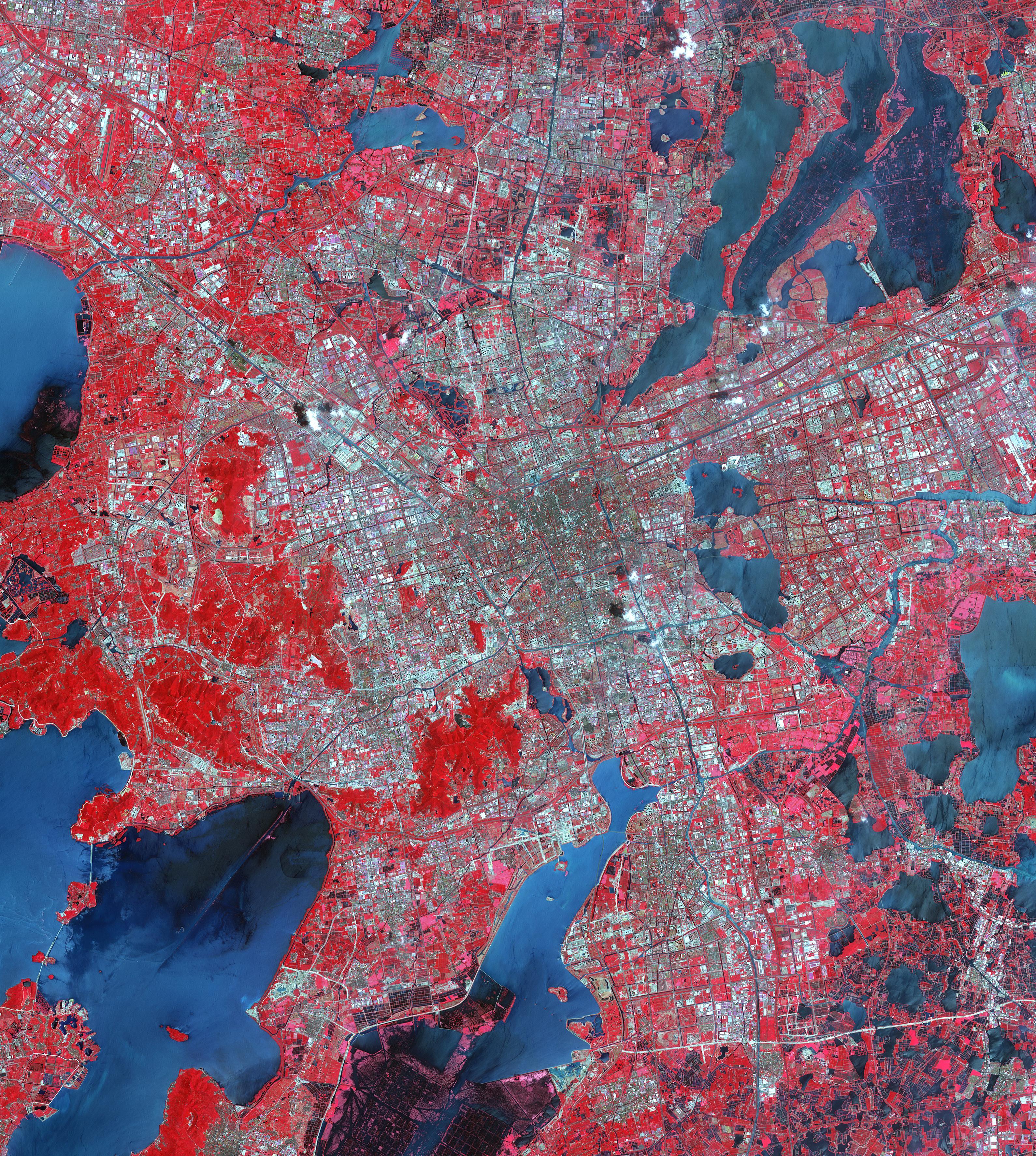
2018-02-22 | Earth |
Terra |
ASTER |
4410x4338x3 |

|
|||||
|
|
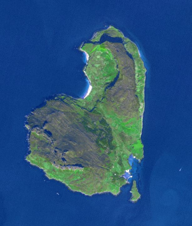
2018-02-22 | Earth |
ARIA |
2850x2116x3 | |
|
|||||
|
|
2018-02-21 | Earth | 3778x2234x3 | ||
|
|||||
|
|
2018-02-21 | Earth |
ARIA |
4568x3022x3 | |

|
|||||
|
|
2018-02-15 | Earth | 6176x4063x3 | ||
|
|||||
|
|
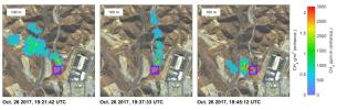
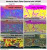
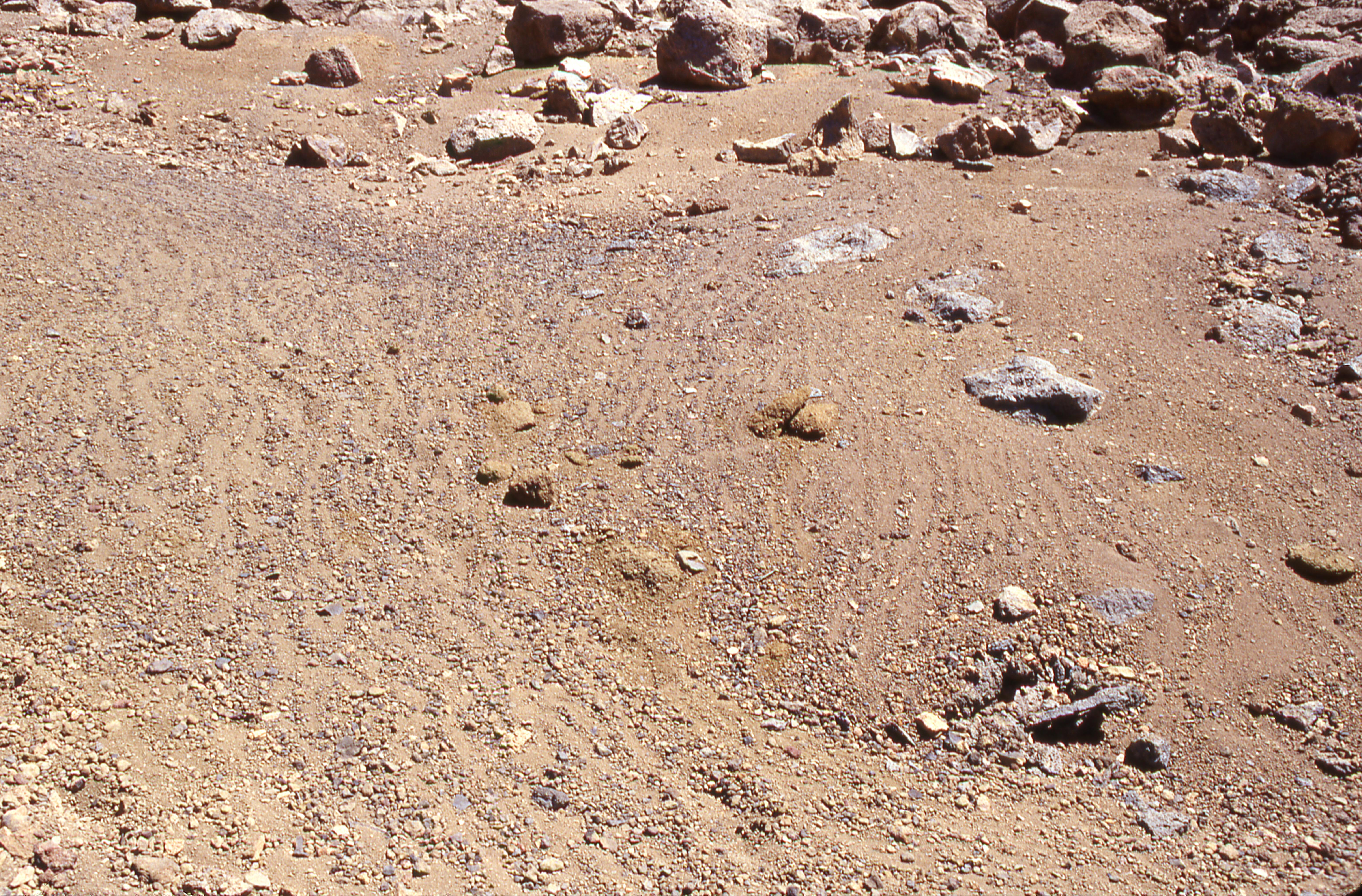
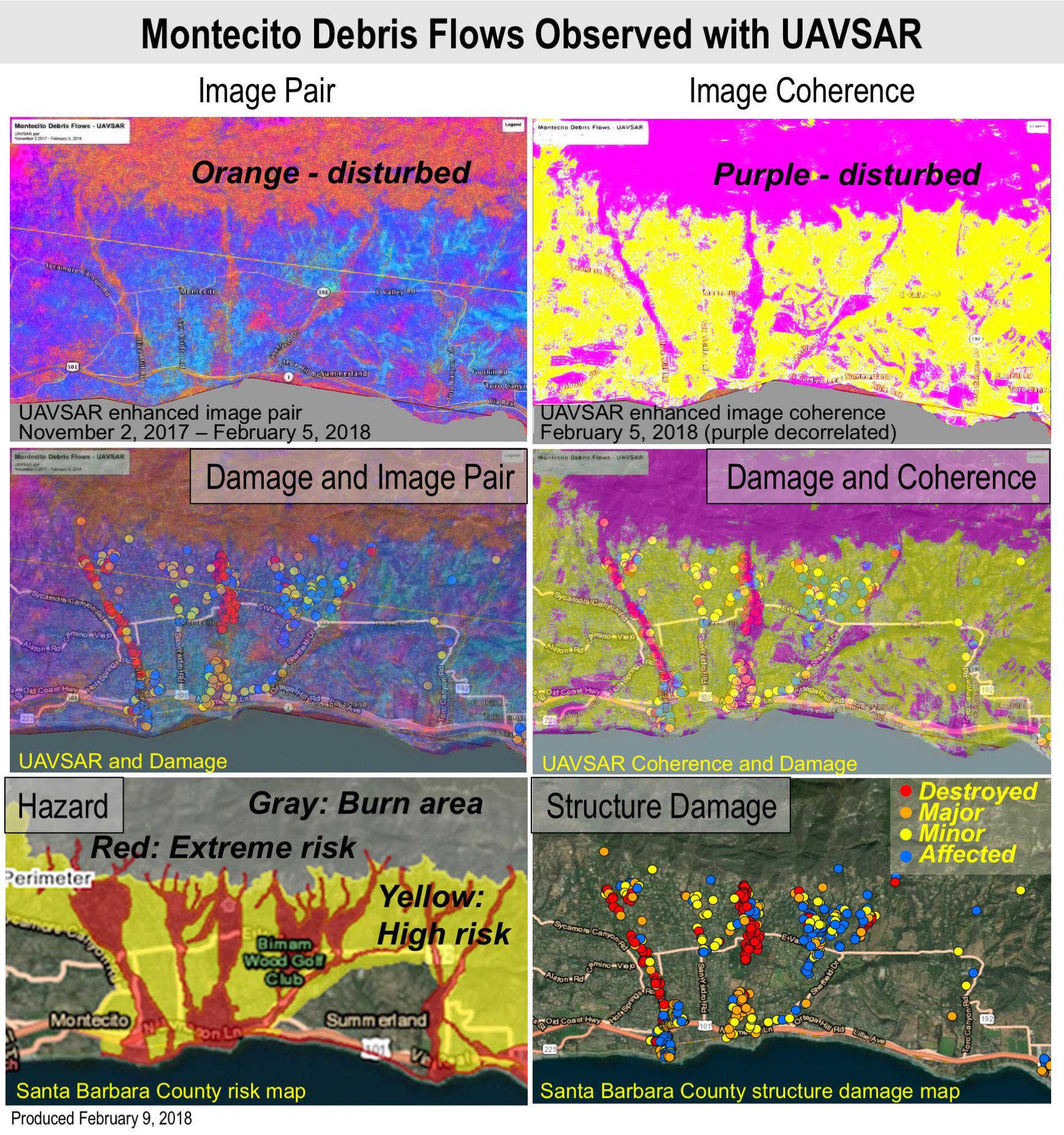
2018-02-12 | Earth |
UAVSAR |
L-Band UAVSAR |
1738x1853x3 |
|
|||||
|
|
2018-02-01 | Earth |
Terra |
ASTER |
3180x3548x3 |
|
|||||
|
|
2018-01-10 | Earth |
Terra |
ASTER |
613x720x3 |
|
|||||
|
|
2018-01-05 | Earth |
Terra |
ASTER |
4122x2206x3 |

|
|||||
|
|
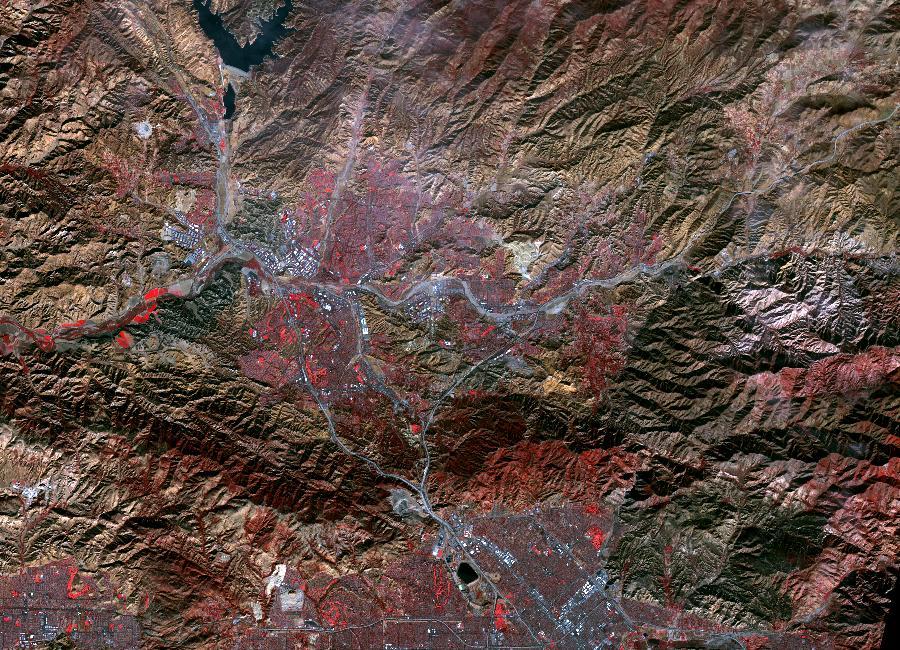
2017-12-18 | Earth |
Terra |
ASTER |
900x650x3 |
|
|||||
|
|
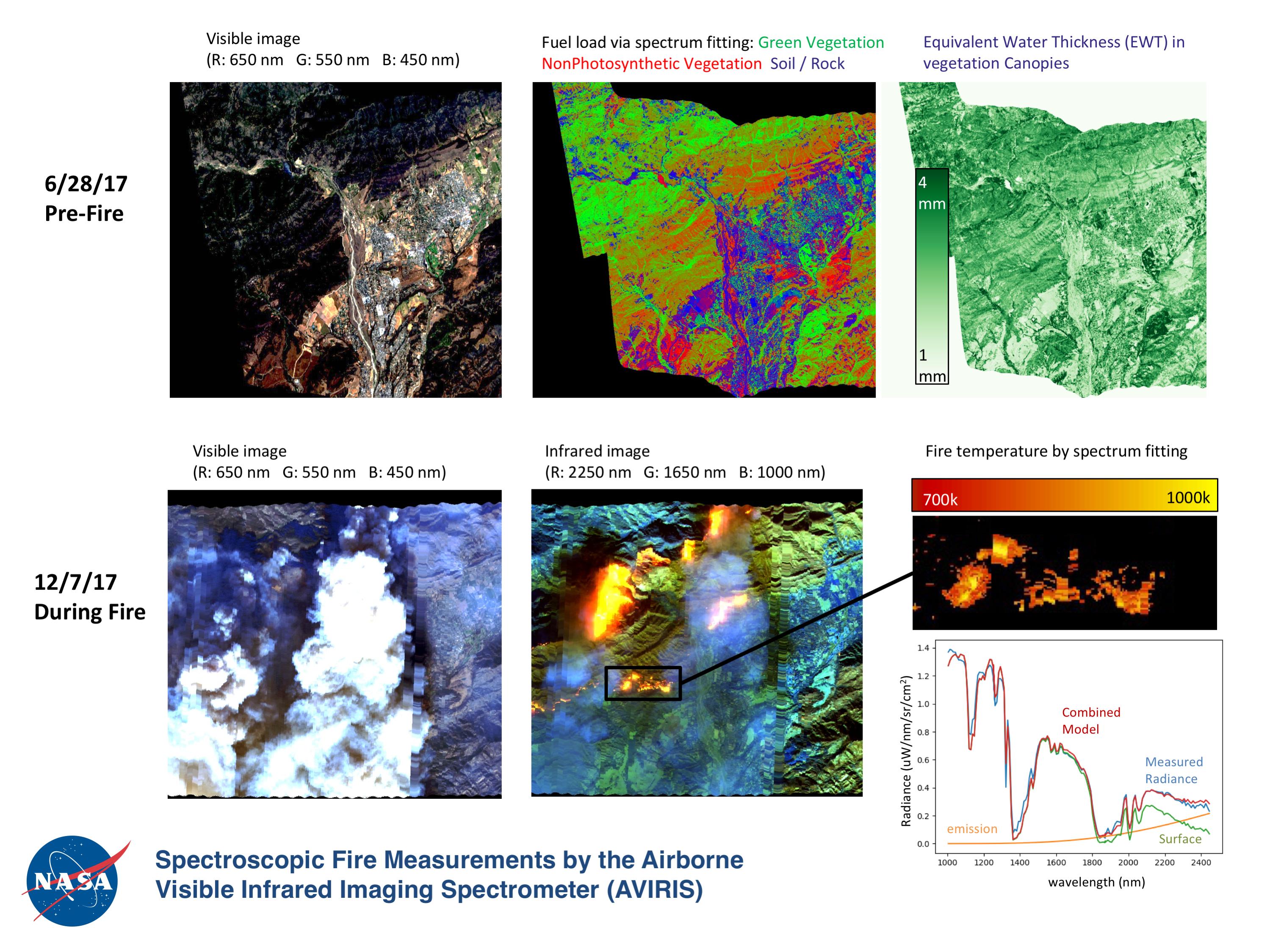
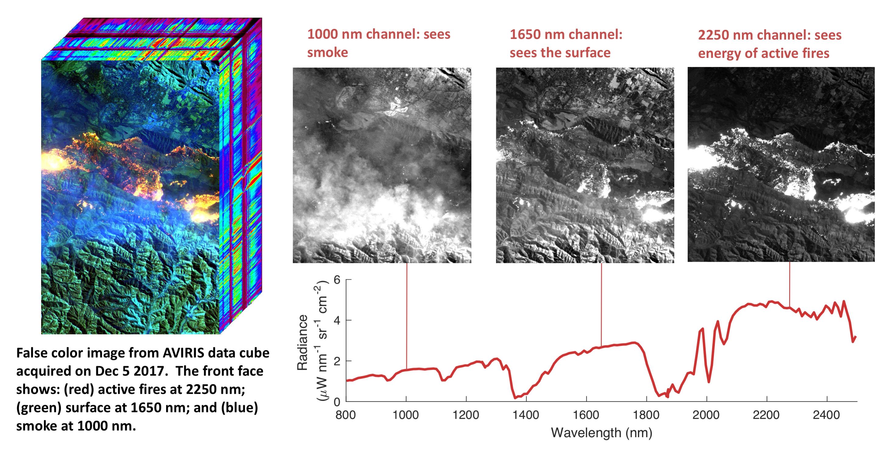
2017-12-15 | Earth |
Earth Observing System (EOS) |
AVIRIS |
2999x2249x3 |
|
|||||
|
|
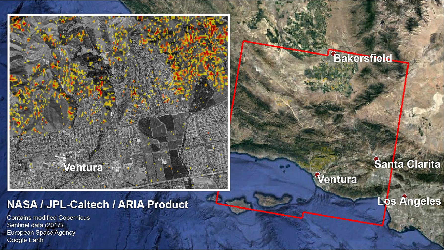
2017-12-14 | Earth |
ARIA |
1786x1008x3 | |
|
|||||
|
|
2017-12-11 | Earth |
Terra |
ASTER |
1584x2100x3 |
|
|||||
|
|
2017-12-10 | Earth |
Terra |
ASTER |
1319x1185x3 |

|
|||||
|
|
2017-12-08 | Earth |
Earth Observing System (EOS) |
AVIRIS |
2933x1520x3 |
|
|||||
|
|
2017-11-28 | Earth |
Terra |
ASTER |
2318x1015x3 |
|
|||||
|
|
2017-11-15 | Earth |
Terra |
ASTER |
1846x1561x3 |
|
|||||
|
|
2017-10-31 | Earth |
Terra |
ASTER |
2302x2601x3 |
|
|||||
|
|
2017-10-31 | Earth |
Terra |
ASTER |
2543x2473x3 |
|
|||||
|
|
2017-10-23 | Earth |
Terra |
ASTER |
4098x4175x3 |
|
|||||
|
|
2017-10-18 | Earth |
ARIA |
2041x2471x3 | |
|
|||||
|
|
2017-10-13 | Earth |
Terra |
ASTER |
3804x6066x3 |

|
|||||
|
|
2017-10-09 | Earth |
Terra |
ASTER |
1368x897x3 |
|
|||||
|
|
2017-10-06 | Earth |
Terra |
ASTER |
471x301x1 |
|
|||||
|
|
2017-10-02 | Earth |
Terra |
ASTER |
2670x3669x3 |

|
|||||
|
|
2017-09-29 | Earth |
ARIA |
2206x2112x3 | |

|
|||||
|
|
2017-09-26 | Earth |
ARIA |
1600x900x3 | |

|
|||||
|
|
2017-09-20 | Earth |
ARIA |
2512x2290x3 | |
|
|||||
|
|
2017-09-20 | Earth |
ARIA |
1860x1896x3 | |
|
|||||
|
|
2017-09-20 | Earth |
CloudSat |
Cloud Profiling Radar (CPR) |
1672x938x3 |
|
|||||
|
|
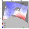
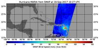
2017-09-19 | Earth |
SMAP |
1808x895x3 | |
|
|||||

|
 |
|
|
 |
 |
|
|
|
|
|

|
| 1-100 | 101-200 | 201-300 | 301-400 | 401-500 | 501-600 | 601-700 | 701-800 | 801-900 | 901-1000 |
| Currently displaying images: 301 - 400 of 2277 |