|
Your search criteria found 2277 images Target is Earth |
| My List |
Addition Date | Target |
Mission
|
Instrument | Size |

|
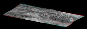
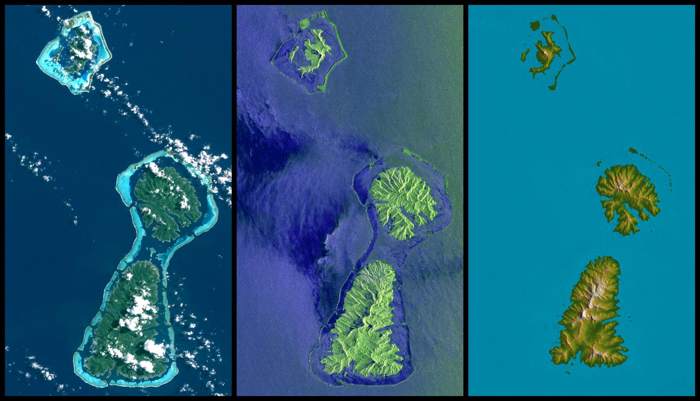
2004-06-17 | Earth |
Landsat Shuttle Radar Topography Mission (SRTM) |
C-Band Interferometric Radar X-Band Radar |
2184x1377x3 |
|
|||||
|
|
2004-06-17 | Earth |
Landsat Shuttle Radar Topography Mission (SRTM) |
C-Band Interferometric Radar X-Band Radar |
5657x3645x3 |
|
|||||
|
|
2004-06-17 | Earth |
Landsat Shuttle Radar Topography Mission (SRTM) |
C-Band Interferometric Radar X-Band Radar |
2259x1244x3 |
|
|||||
|
|
2004-07-03 | Earth |
Landsat Shuttle Radar Topography Mission (SRTM) |
C-Band Radar X-Band Radar |
5000x1700x3 |
|
|||||
|
|
2004-07-03 | Earth |
Landsat Shuttle Radar Topography Mission (SRTM) |
C-Band Radar X-Band Radar |
5000x1700x3 |
|
|||||
|
|
2005-01-06 | Earth |
Landsat Shuttle Radar Topography Mission (SRTM) |
Spaceborne Imaging Radar C/X-Band Synthetic Aperture Radar |
1414x810x3 |
|
|||||
|
|
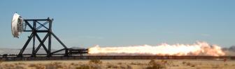
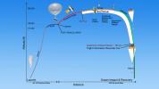
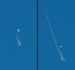
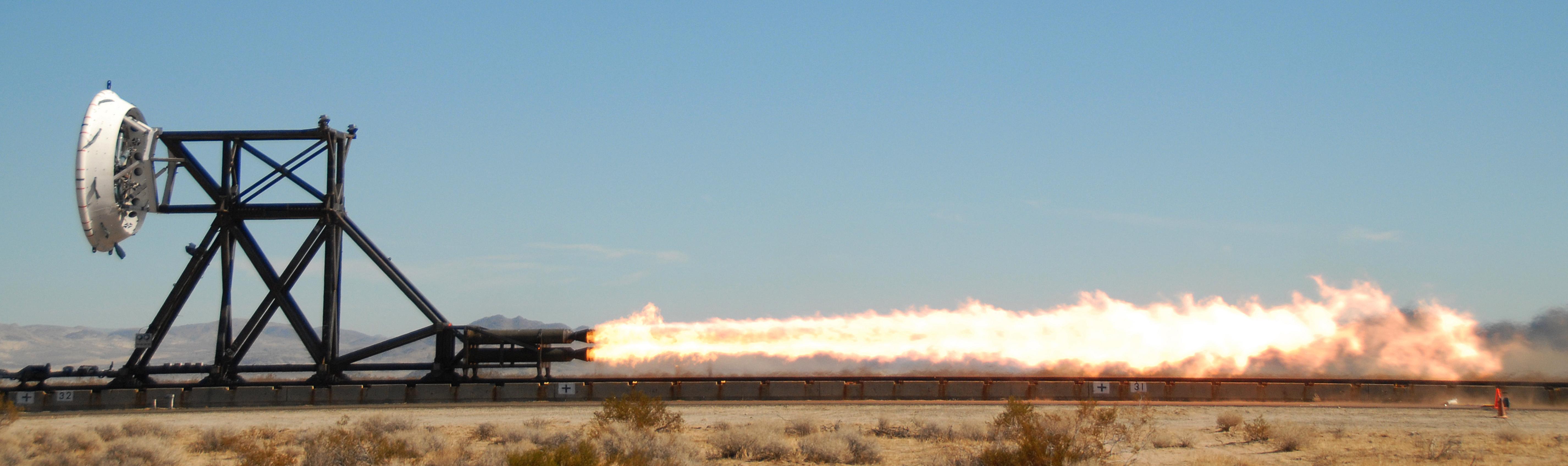
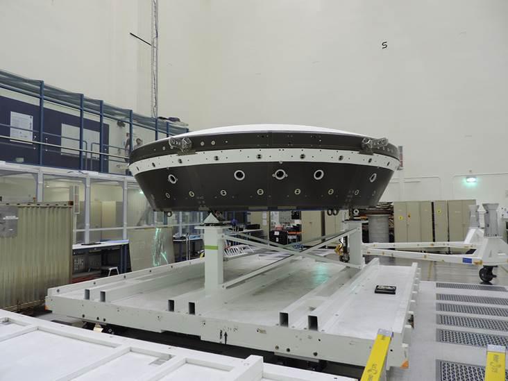
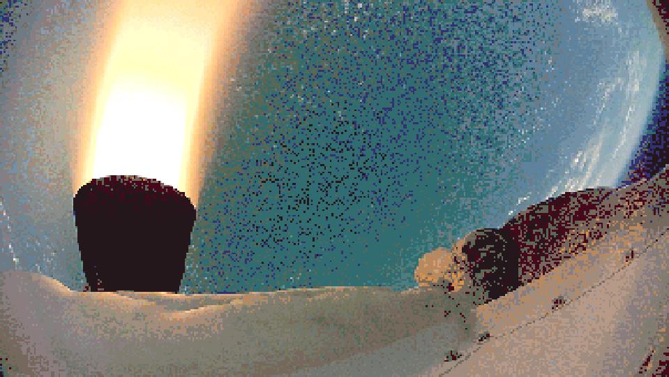
2012-06-08 | Earth |
LDSD |
5704x1697x3 | |
|
|||||
|
|
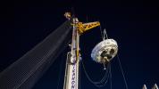
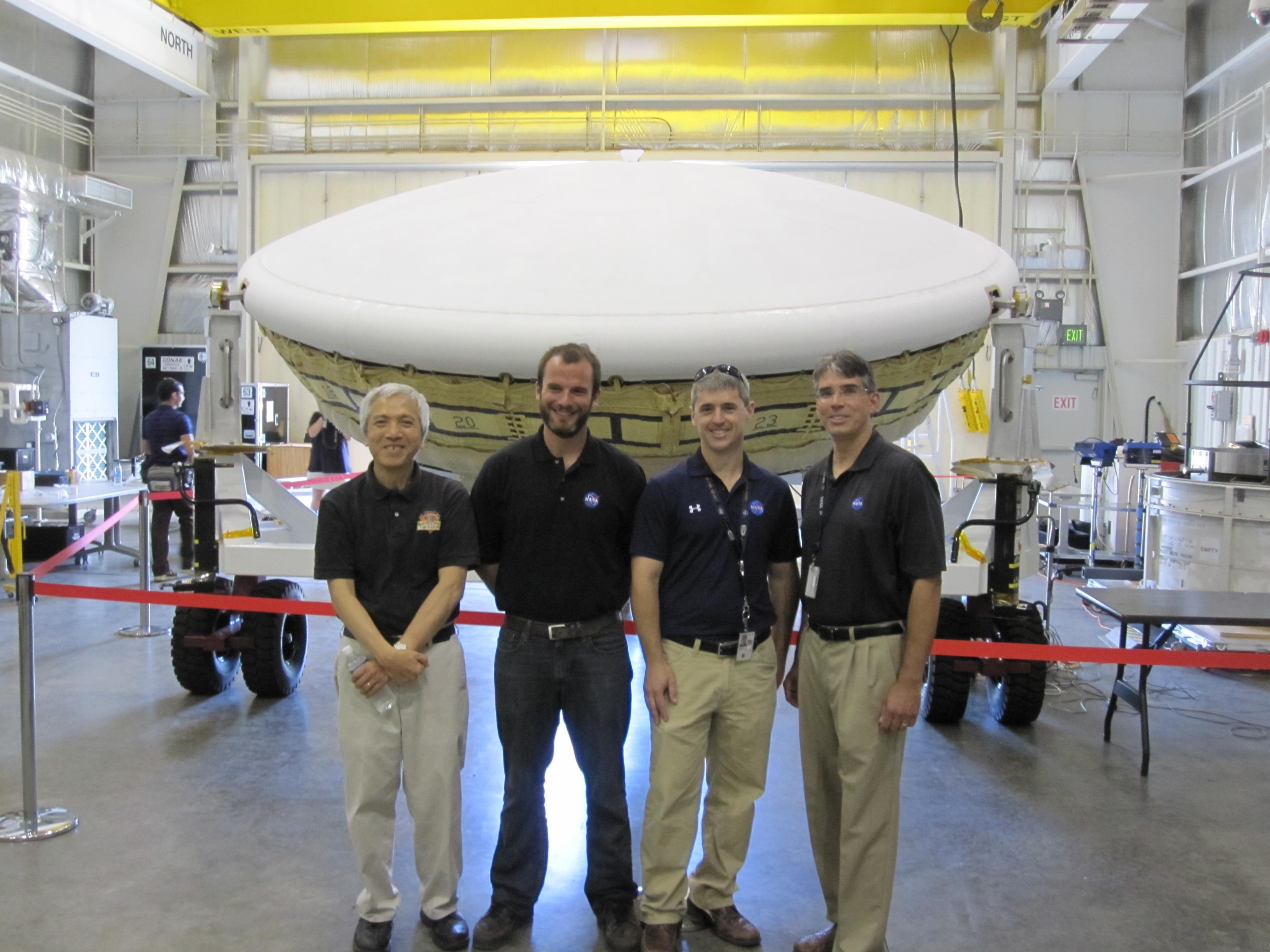
2014-06-04 | Earth |
LDSD |
3264x2448x3 | |
|
|||||
|
|
2014-06-04 | Earth |
LDSD |
3264x2448x3 | |

|
|||||
|
|
2014-06-06 | Earth |
LDSD |
1280x720x3 | |
|
|||||
|
|
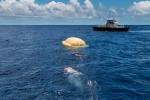
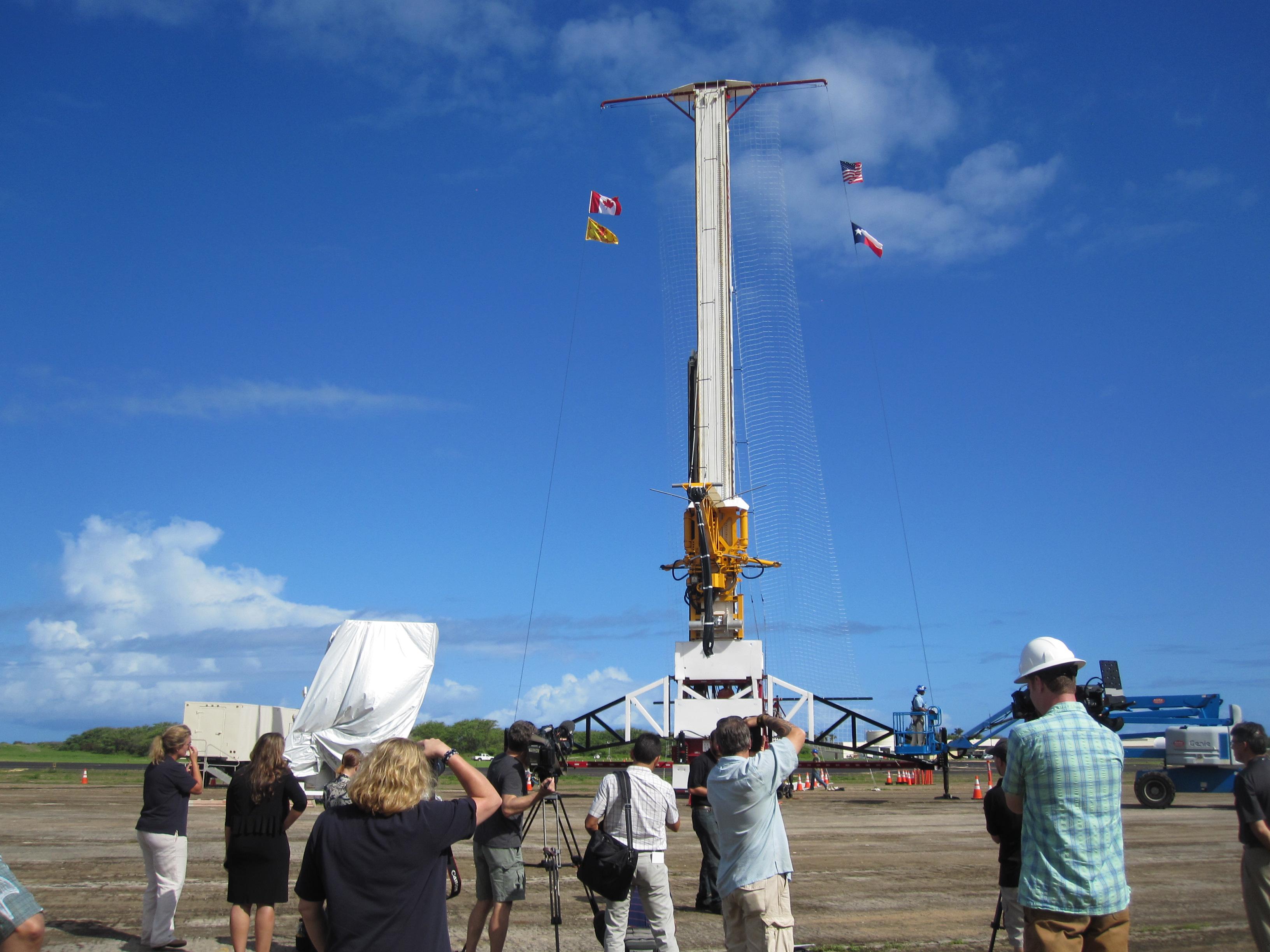
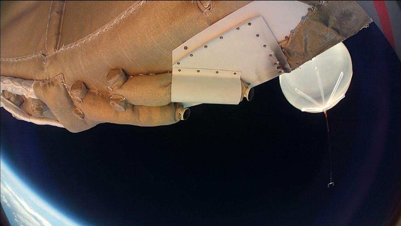
2014-06-29 | Earth |
LDSD |
4901x3257x3 | |

|
|||||
|
|
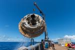
2014-06-29 | Earth |
LDSD |
5130x3420x3 | |

|
|||||
|
|
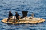
2014-06-29 | Earth |
LDSD |
1543x2004x3 | |

|
|||||
|
|
2014-06-29 | Earth |
LDSD |
5441x3627x3 | |
|
|||||
|
|
2014-06-29 | Earth |
LDSD |
5392x3595x3 | |
|
|||||
|
|
2014-07-01 | Earth |
LDSD |
5472x3648x3 | |
|
|||||
|
|
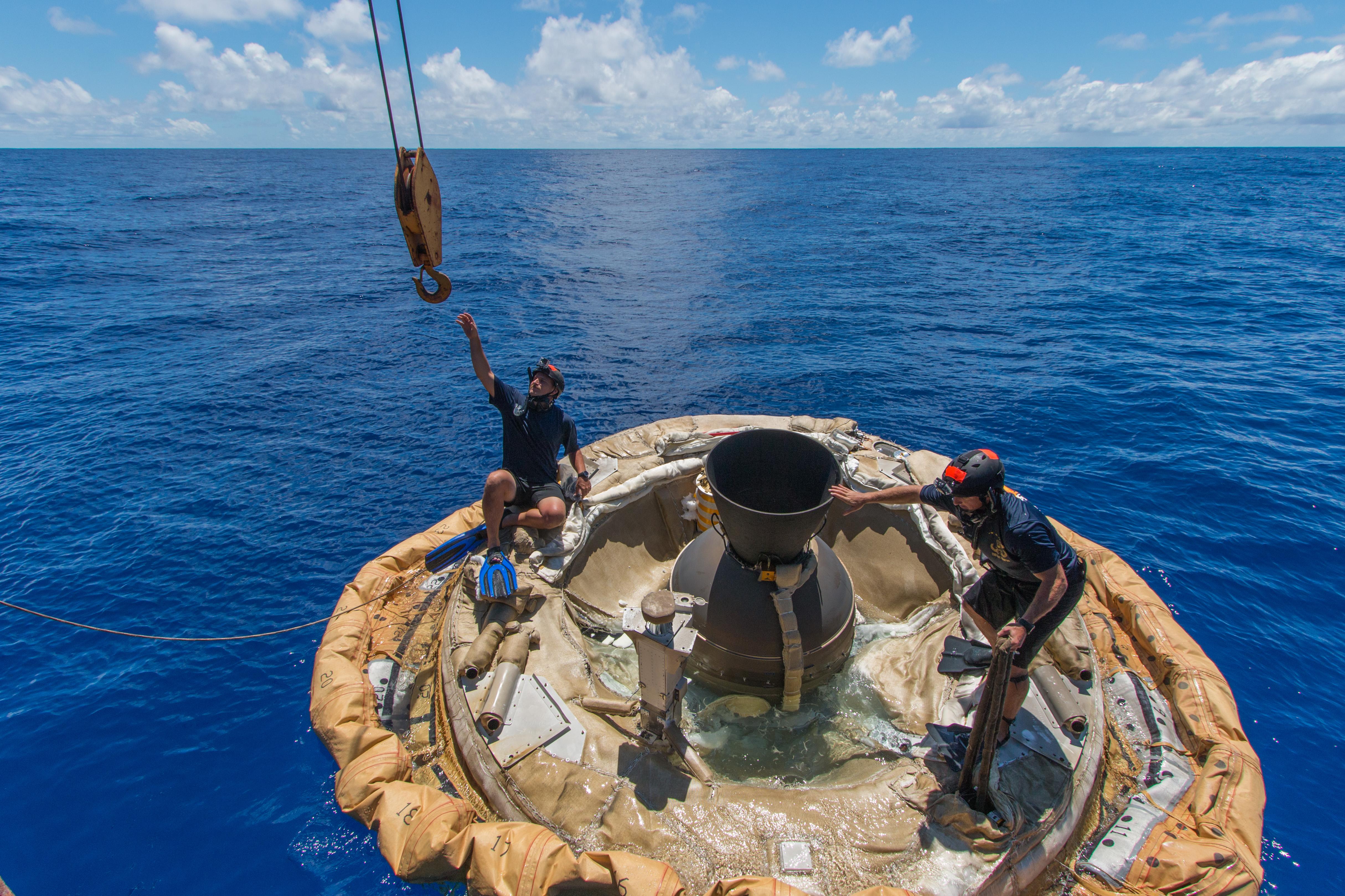
2014-08-08 | Earth |
LDSD |
4850x3223x3 | |

|
|||||
|
|
2014-08-08 | Earth |
LDSD |
3010x1698x3 | |
|
|||||
|
|
2014-08-08 | Earth |
LDSD |
732x549x3 | |
|
|||||
|
|
2014-08-08 | Earth |
LDSD |
1280x720x3 | |
|
|||||
|
|
2014-08-08 | Earth |
LDSD |
4859x3239x3 | |
|
|||||
|
|
2014-08-08 | Earth |
LDSD |
2324x2156x3 | |
|
|||||
|
|
2014-08-08 | Earth |
LDSD |
959x540x3 | |

|
|||||
|
|
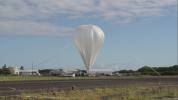
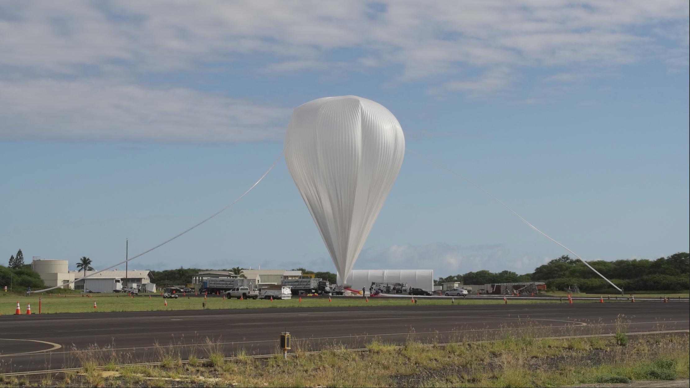
2015-06-05 | Earth |
LDSD |
1600x900x3 | |
|
|||||
|
|
2015-05-11 | Earth |
LDSD |
2222x1249x3 | |
|
|||||
|
|
2015-06-05 | Earth |
LDSD |
1600x900x3 | |

|
|||||
|
|
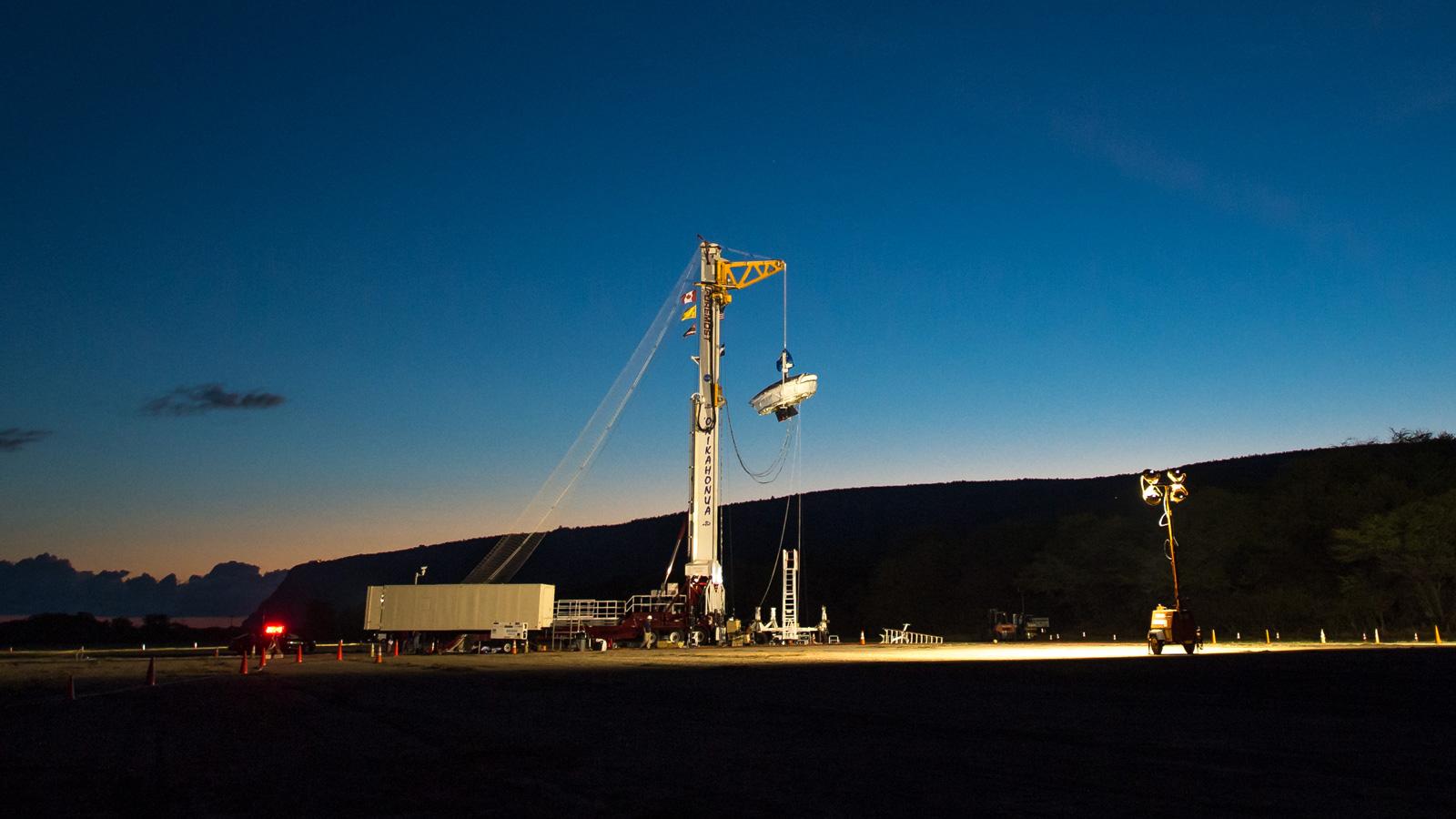
2015-06-09 | Earth |
LDSD |
1600x900x3 | |
|
|||||
|
|
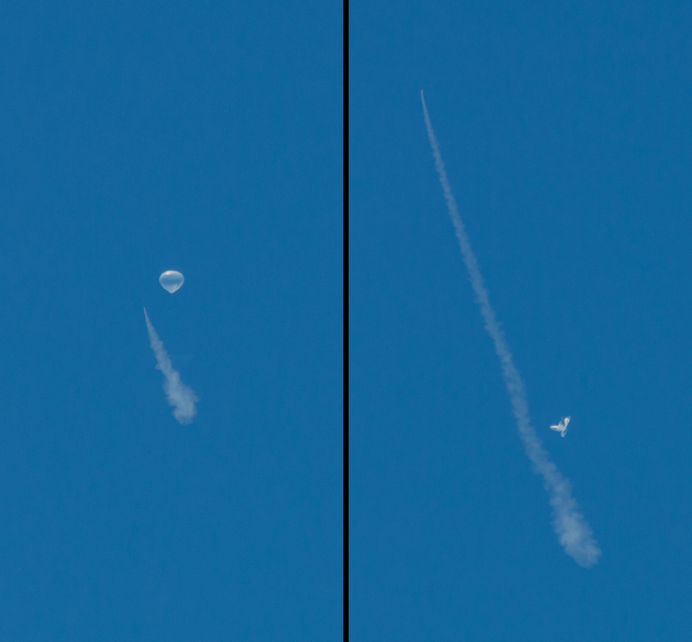
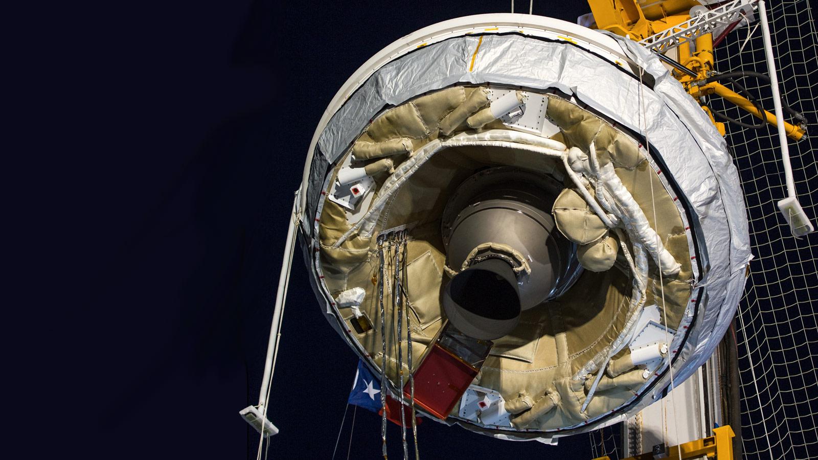
2015-06-11 | Earth |
LDSD |
4747x3391x3 | |

|
|||||
|
|
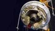
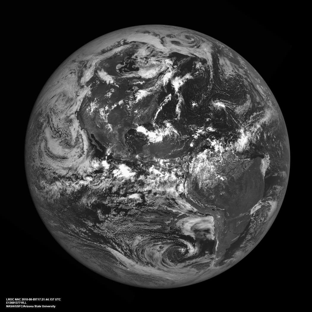
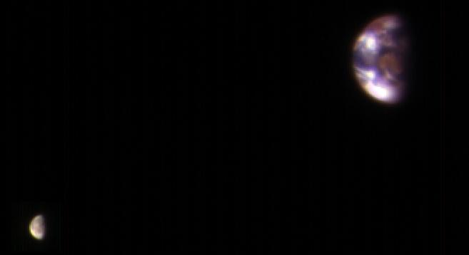
2010-09-15 | Earth |
Lunar Reconnaissance Orbiter (LRO) |
Lunar Reconnaissance Orbiter Camera (NAC) |
1050x1050x1 |
|
|||||
|
|
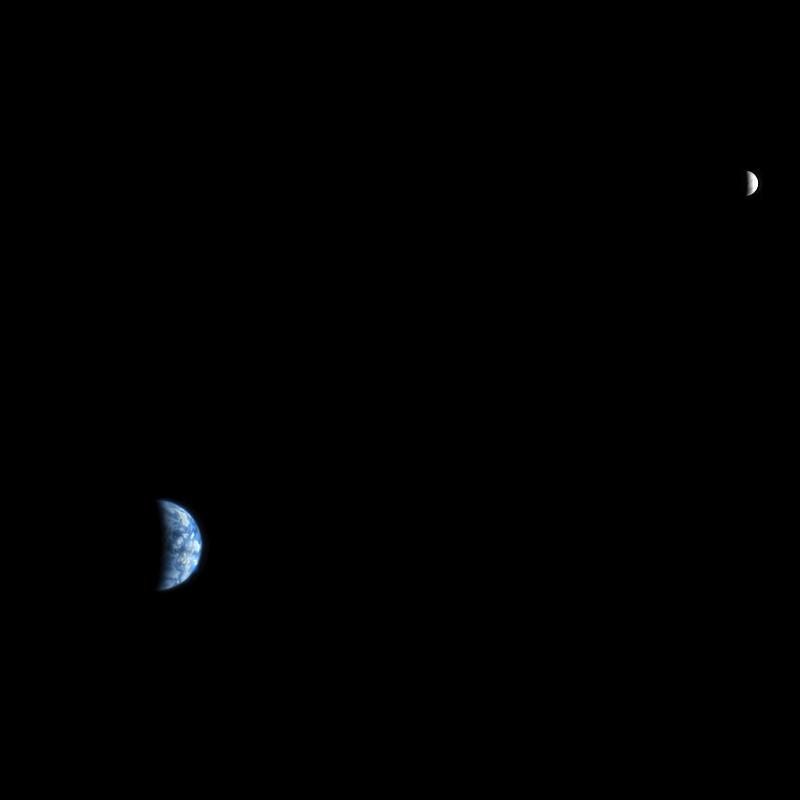
1999-12-21 | Earth |
Mariner Venus Mercury (Mariner 10) |
922x749x3 | |

|
|||||
|
|
2021-02-17 | Earth |
Mars 2020 Project |
6000x4000x3 | |
|
|||||
|
|
2019-11-15 | Earth |
Mars 2020 Rover |
4032x3024x3 | |

|
|||||
|
|
2019-12-16 | Earth |
Mars 2020 Rover |
6417x4437x3 | |
|
|||||
|
|
2018-05-15 | Earth |
MarCO |
1151x734x3 | |
|
|||||
|
|
2004-03-11 | Earth |
Mars Exploration Rover (MER) |
Navigation Camera Panoramic Camera |
1194x1007x1 |
|
|||||
|
|
2004-03-13 | Earth |
Mars Exploration Rover (MER) |
Panoramic Camera |
1194x1007x1 |
|
|||||
|
|
2004-06-02 | Earth |
Mars Exploration Rover (MER) |
1576x980x3 | |

|
|||||
|
|
2003-05-22 | Earth |
Mars Global Surveyor (MGS) |
Mars Orbiter Camera (MOC) |
1068x3151x3 |
|
|
|||||
|
|
2003-05-22 | Earth |
Mars Global Surveyor (MGS) |
Mars Orbiter Camera (MOC) |
961x961x3 |
|
|||||
|
|
2003-05-28 | Mars |
Mars Global Surveyor (MGS) |
Mars Orbiter Camera (MOC) |
388x583x3 |
|
|||||
|
|
2005-08-22 | Earth |
Mars Reconnaissance Orbiter (MRO) |
MARCI |
85x75x3 |

|
|||||
|
|
2005-08-22 | Earth |
Mars Reconnaissance Orbiter (MRO) |
MARCI |
700x80x1 |

|
|||||
|
|
2008-03-03 | Earth |
Mars Reconnaissance Orbiter (MRO) |
HiRISE |
800x800x3 |

|
|||||
|
|
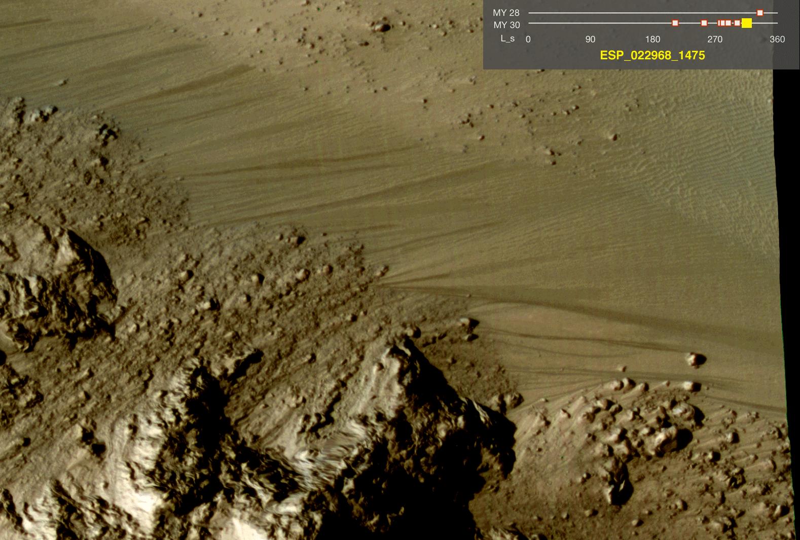
2011-08-04 | Earth |
Mars Reconnaissance Orbiter (MRO) |
HiRISE |
1578x1065x3 |

|
|||||
|
|
2017-01-06 | Earth |
Mars Reconnaissance Orbiter (MRO) |
HiRISE |
657x358x3 |
|
|||||
|
|
2017-01-25 | Earth |
Mars Reconnaissance Orbiter (MRO) |
4608x3456x3 | |

|
|||||
|
|
2010-11-16 | Earth |
Mars Science Laboratory (MSL) |
MAHLI |
1600x1200x3 |
|
|||||
|
|
2010-11-16 | Earth |
Mars Science Laboratory (MSL) |
MAHLI |
1188x1566x3 |
|
|||||
|
|
2010-11-16 | Earth |
Mars Science Laboratory (MSL) |
MAHLI |
1190x1580x3 |

|
|||||
|
|
2010-11-16 | Earth |
Mars Science Laboratory (MSL) |
MAHLI |
1007x1305x3 |
|
|||||
|
|
2012-08-27 | Earth |
Mars Science Laboratory (MSL) |
2896x1944x3 | |
|
|||||
|
|
2014-02-06 | Earth |
Mars Science Laboratory (MSL) |
Mastcam |
78x168x3 |
|
|
|||||
|
|
2014-02-06 | Earth |
Mars Science Laboratory (MSL) |
Mastcam |
3200x2000x3 |

|
|||||
|
|
2014-12-08 | Earth |
Mars Science Laboratory (MSL) |
5271x1865x3 | |
|
|||||
|
|
2015-03-31 | Earth |
Mars Science Laboratory (MSL) |
SAM |
1019x702x3 |

|
|||||
|
|
2005-08-02 | Earth |
MESSENGER |
MDIS - Wide Angle |
507x507x3 |

|
|||||
|
|
2005-08-02 | Earth |
MESSENGER |
MDIS - Wide Angle |
4500x2238x3 |
|
|||||
|
|
2005-08-02 | Earth |
MESSENGER |
MDIS - Wide Angle |
2060x1024x3 |
|
|||||
|
|
2010-08-17 | Earth |
MESSENGER |
MDIS - Wide Angle |
1018x1024x1 |
|
|||||
|
|
2013-07-22 | Earth |
MESSENGER |
MDIS - Wide Angle |
1024x1380x3 |
|
|||||
|
|
2013-10-18 | Earth |
MESSENGER |
MDIS - Wide Angle |
1024x1024x1 |
|
|||||
|
|
2013-07-22 | S Rings |
MESSENGER Cassini-Huygens |
ISS - Wide Angle MDIS - Wide Angle |
1799x958x3 |

|
|||||
|
|
2023-04-05 | Earth |
MODIS |
MODIS |
4579x2083x3 |
|
|||||
|
|
2023-04-05 | Earth |
MODIS |
MODIS |
2550x3300x3 |
|
|||||
|
|
2023-10-27 | Earth |
NISAR |
973x913x3 | |
|
|||||
|
|
2023-10-27 | Earth |
NISAR |
1800x1275x3 | |
|
|||||
|
|
2016-03-08 | Earth |
OMG |
2160x2008x3 | |
|
|||||
|
|
2021-01-25 | Earth |
OMG |
3792x2846x3 | |
|
|||||
|
|
2022-01-26 | Earth |
OMG |
4032x2471x3 | |
|
|||||
|
|
2022-01-26 | Earth |
OMG |
3024x2697x3 | |

|
|||||
|
|
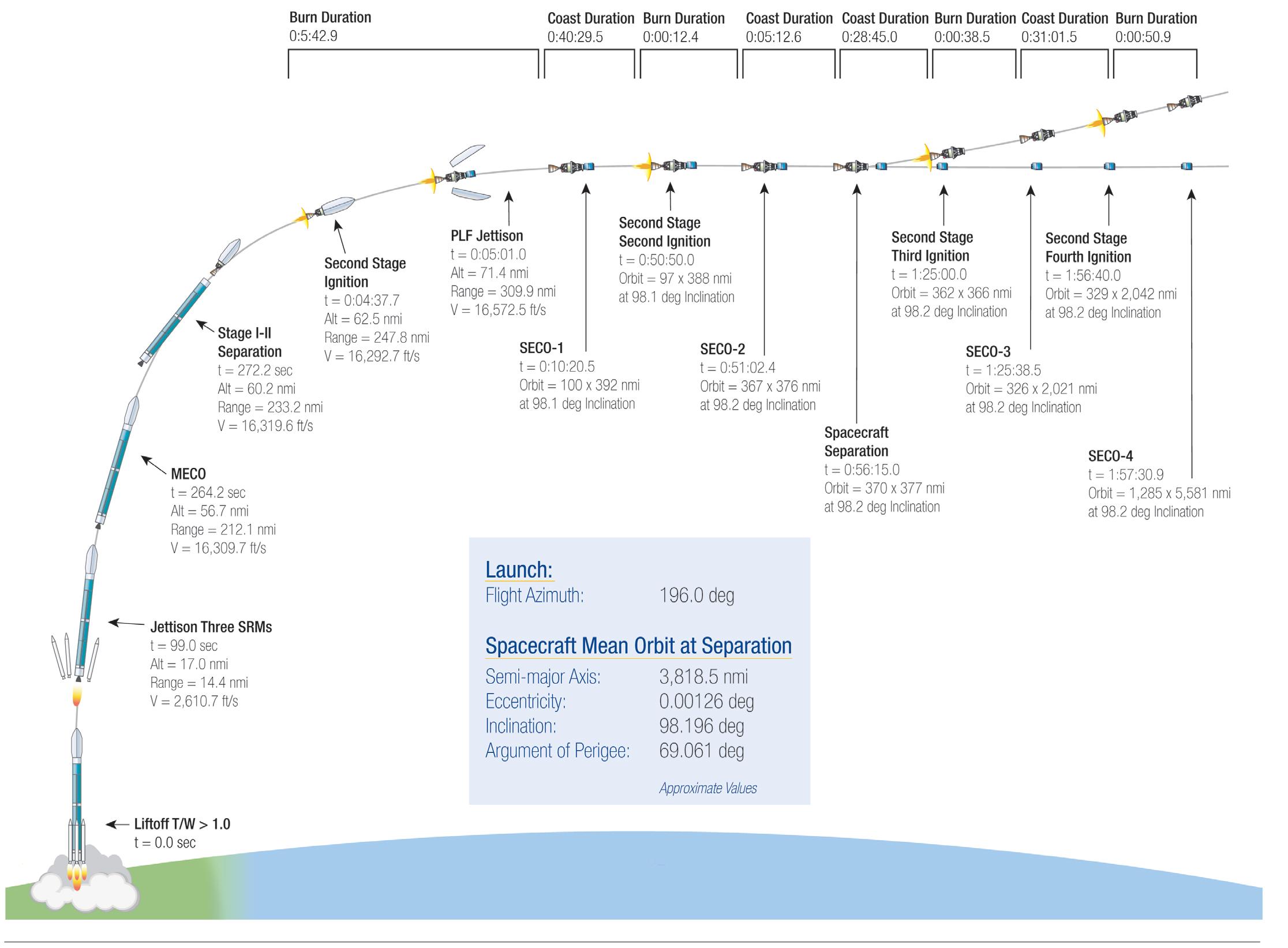
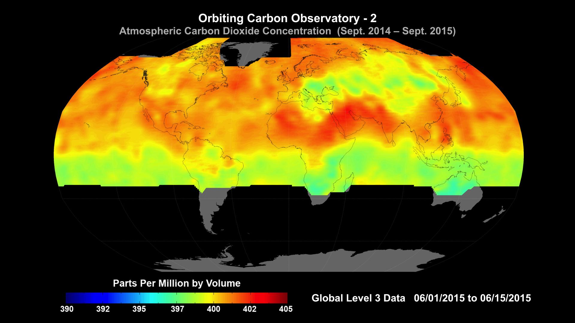
2014-01-22 | Earth |
OCO-2 |
OCO-2 |
2560x1440x3 |
|
|||||
|
|
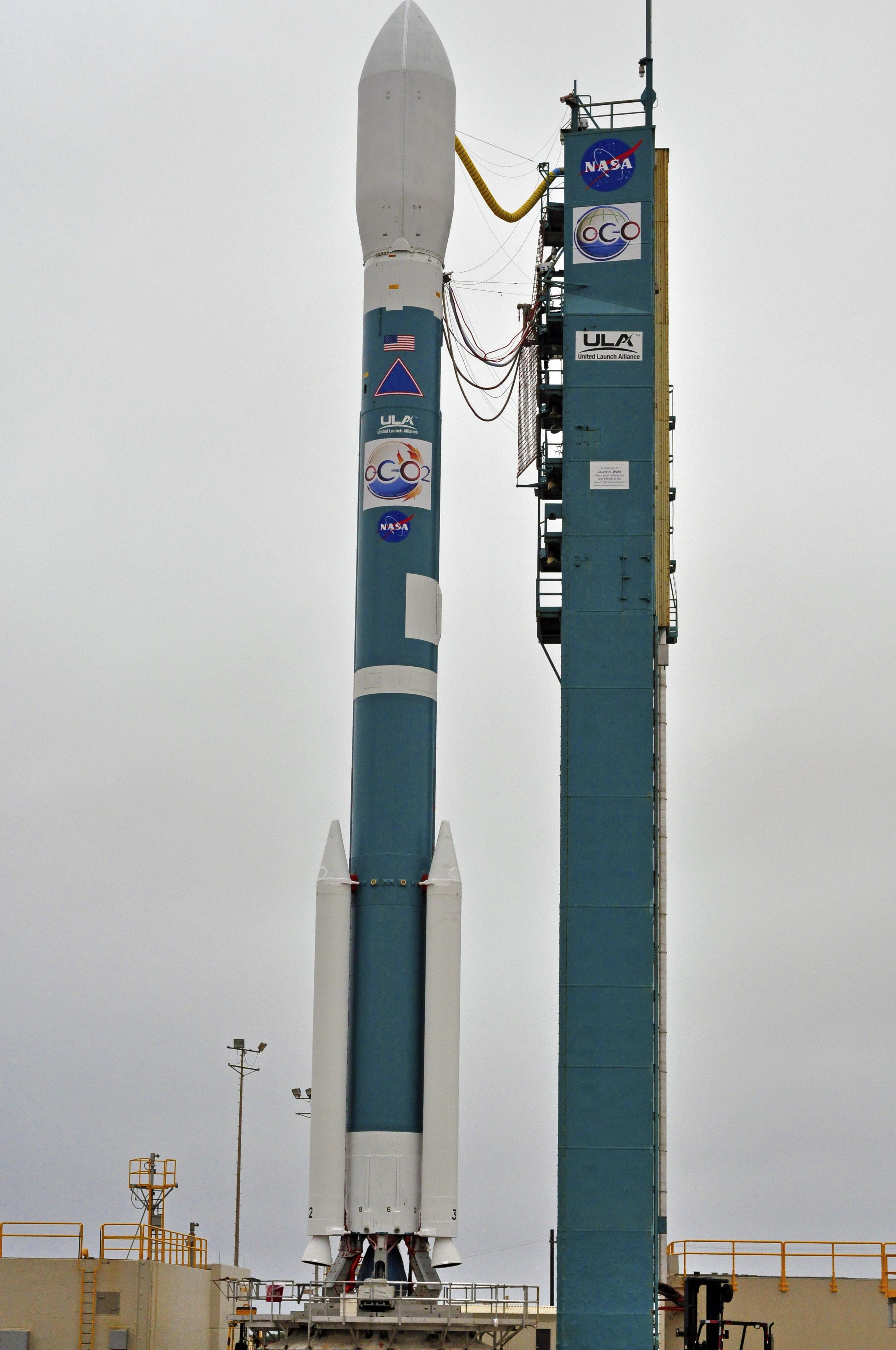
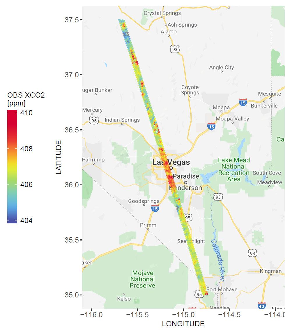
2014-06-30 | Earth |
OCO-2 |
OCO-2 |
4928x3280x3 |
|
|||||
|
|
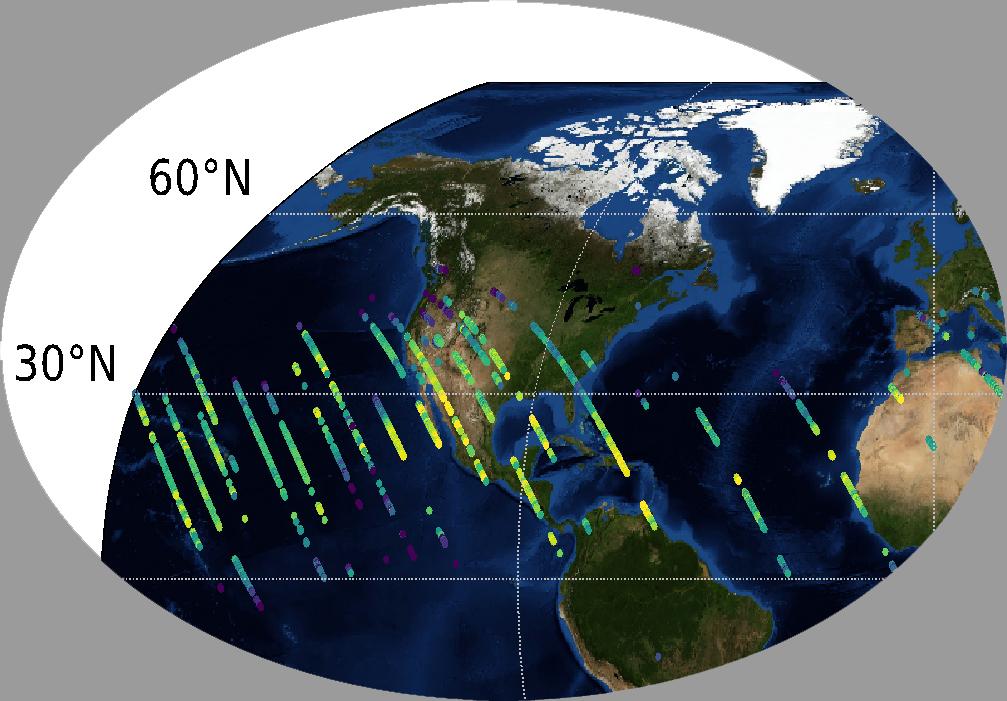
2014-06-30 | Earth |
OCO-2 |
OCO-2 |
2232x1643x3 |
|
|||||
|
|
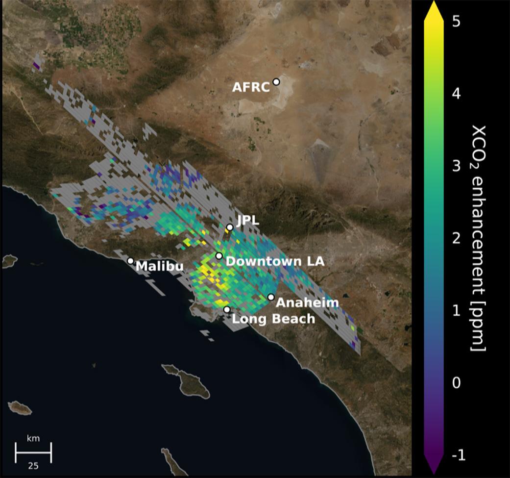
2014-07-01 | Earth |
OCO-2 |
OCO-2 |
2848x4288x3 |
|
|||||
|
|
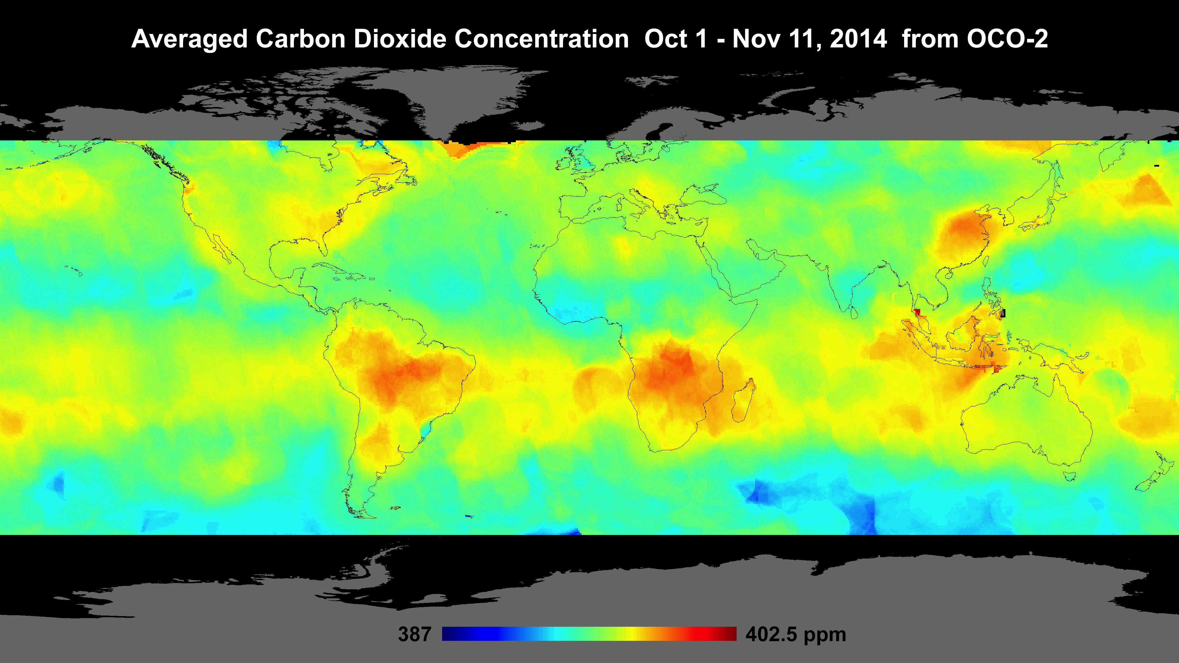
2014-10-01 | Earth |
OCO-2 |
OCO-2 |
1177x801x3 |
|
|||||
|
|
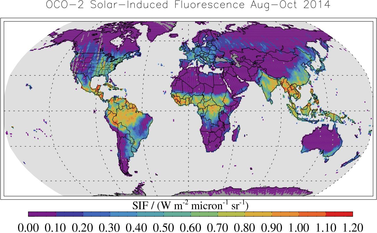
2014-12-18 | Earth |
OCO-2 |
OCO-2 |
4096x2304x3 |
|
|||||
|
|
2014-12-18 | Earth |
OCO-2 |
OCO-2 |
1317x814x3 |

|
|||||
|
|
2015-10-29 | Earth |
OCO-2 |
OCO-2 |
1920x1080x3 |

|
|||||
|
|
2020-03-06 | Earth |
OCO-2 |
OCO-2 |
979x1143x3 |
|
|||||
|
|
2019-07-12 | Earth |
Orbiting Carbon Observatory (OCO-3) |
OCO-3 |
1007x701x3 |

|
|||||
|
|
2019-07-12 | Earth |
Orbiting Carbon Observatory (OCO-3) |
OCO-3 |
1440x841x3 |
|
|||||
|
|
2021-06-07 | Earth |
Orbiting Carbon Observatory (OCO-3) |
OCO-3 |
1041x975x3 |

|
|||||
|
|
2011-08-27 | Earth |
OSCAT |
OSCAT Scatterometer |
1201x900x3 |
|
|||||
|
|
2012-10-30 | Earth |
OSCAT |
OSCAT Scatterometer |
447x337x3 |
|
|||||
|
|
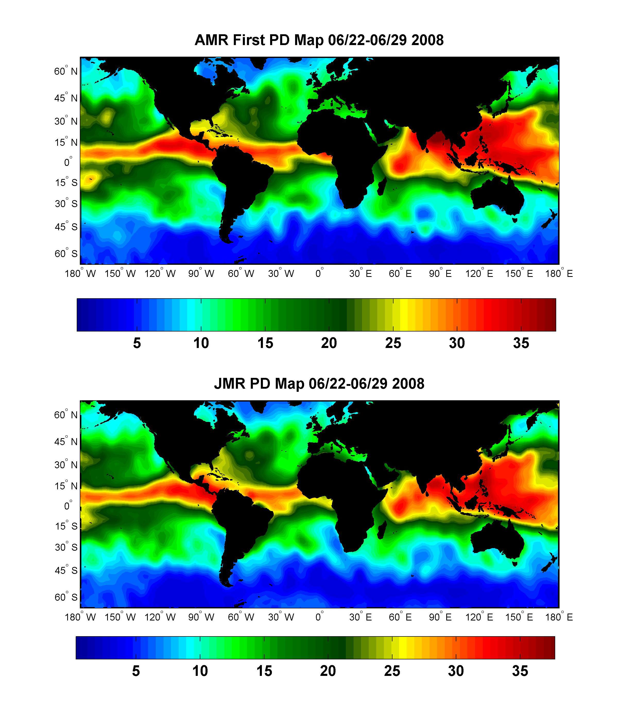
2008-07-15 | Earth |
OSTM/Jason-2 |
Advanced Microwave Radiometer (AMR) |
2400x2772x3 |
|
|||||
|
|
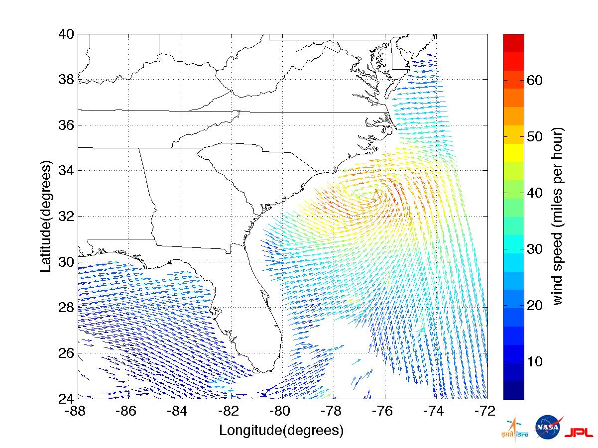
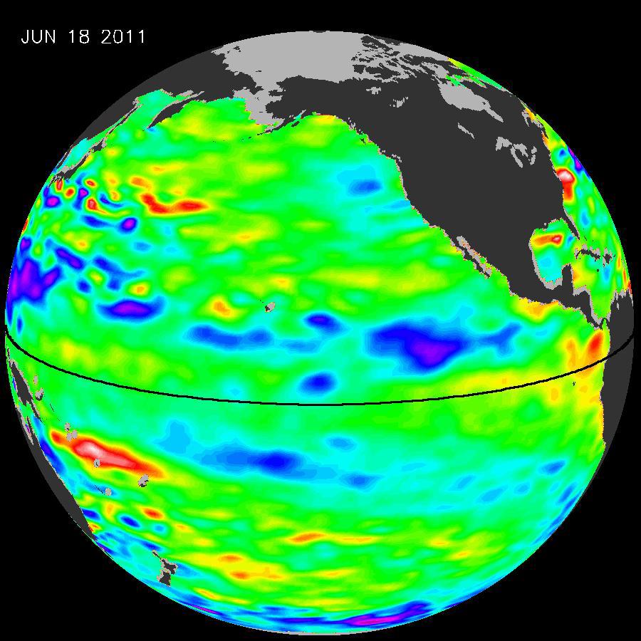
2008-09-24 | Earth |
OSTM/Jason-2 |
Altimeter |
1225x710x3 |
|
|||||
|
|
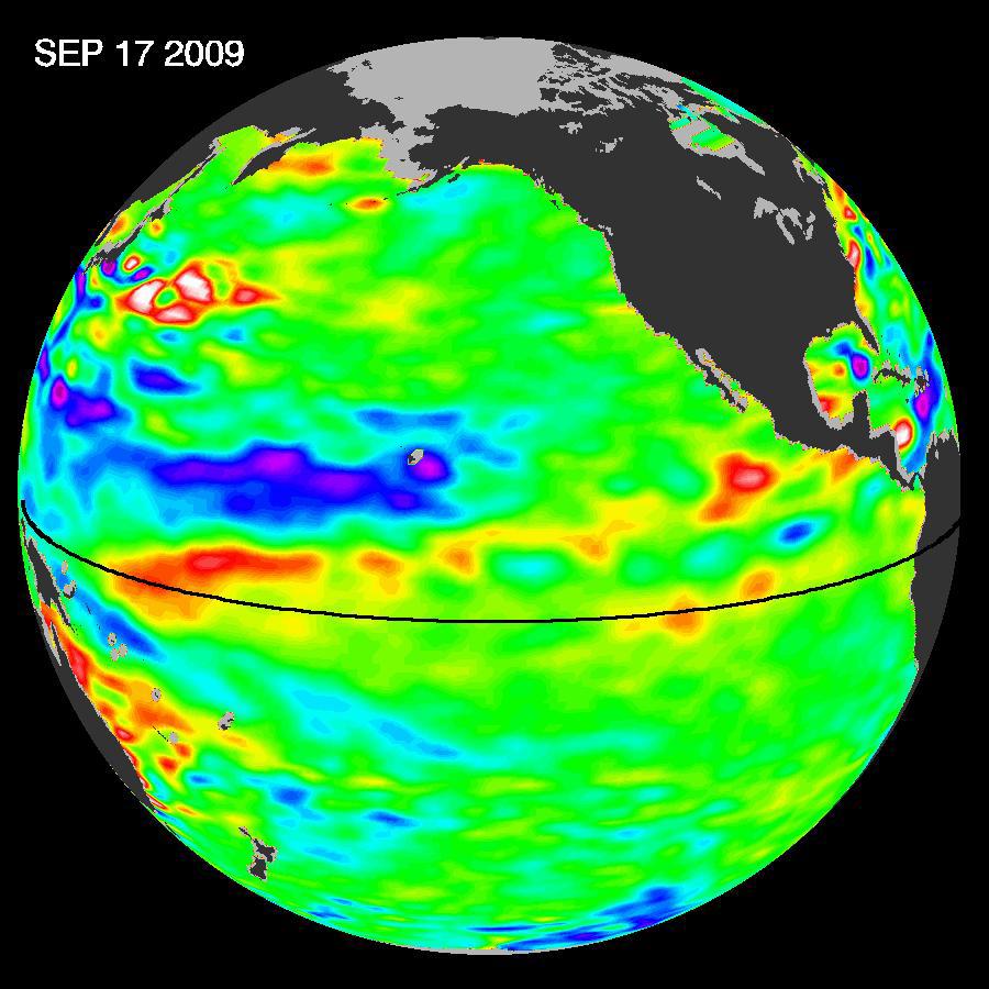
2009-10-29 | Earth |
OSTM/Jason-2 |
Altimeter |
900x900x3 |
|
|||||
|
|
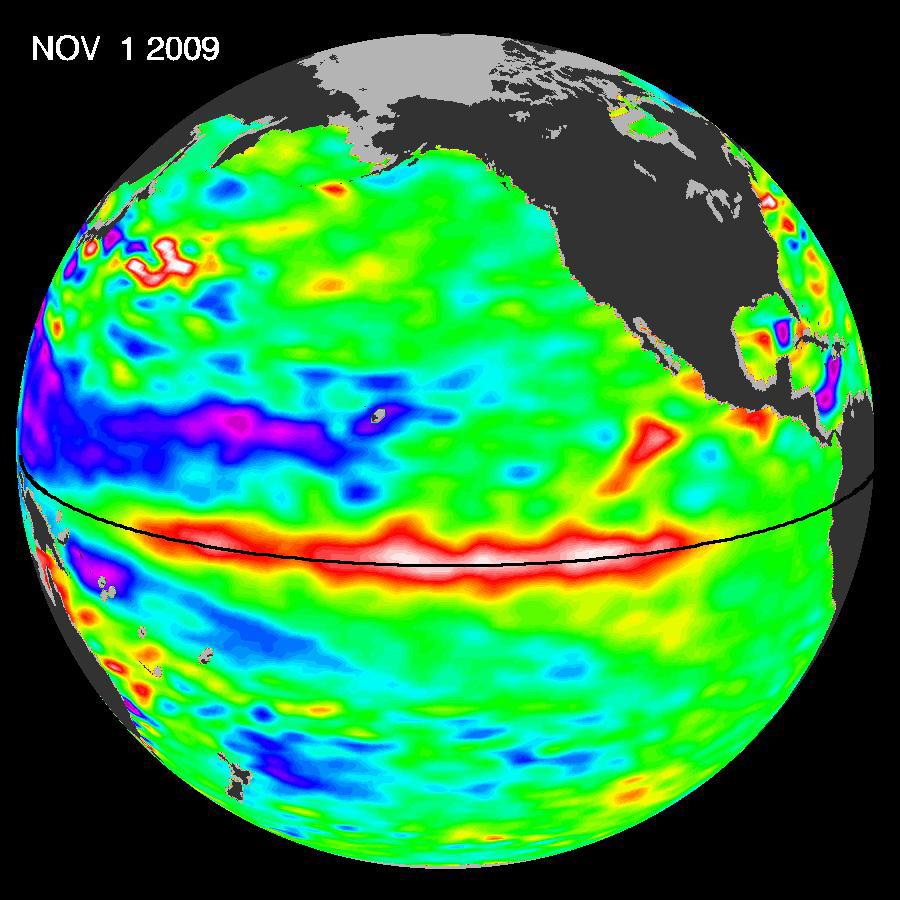
2009-11-12 | Earth |
OSTM/Jason-2 |
Altimeter |
900x900x3 |
|
|||||
|
|
2009-12-17 | Earth |
OSTM/Jason-2 |
Altimeter |
900x900x3 |
|
|||||
|
|
2010-03-16 | Earth |
OSTM/Jason-2 |
Altimeter |
900x900x3 |
|
|||||
|
|
2010-05-24 | Earth |
OSTM/Jason-2 |
Altimeter |
612x627x3 |

|
|||||
|
|
2010-06-22 | Earth |
OSTM/Jason-2 |
Altimeter |
1304x1268x3 |

|
|||||
|
|
2011-07-06 | Earth |
OSTM/Jason-2 |
Altimeter |
900x900x3 |
|
|||||
|
|
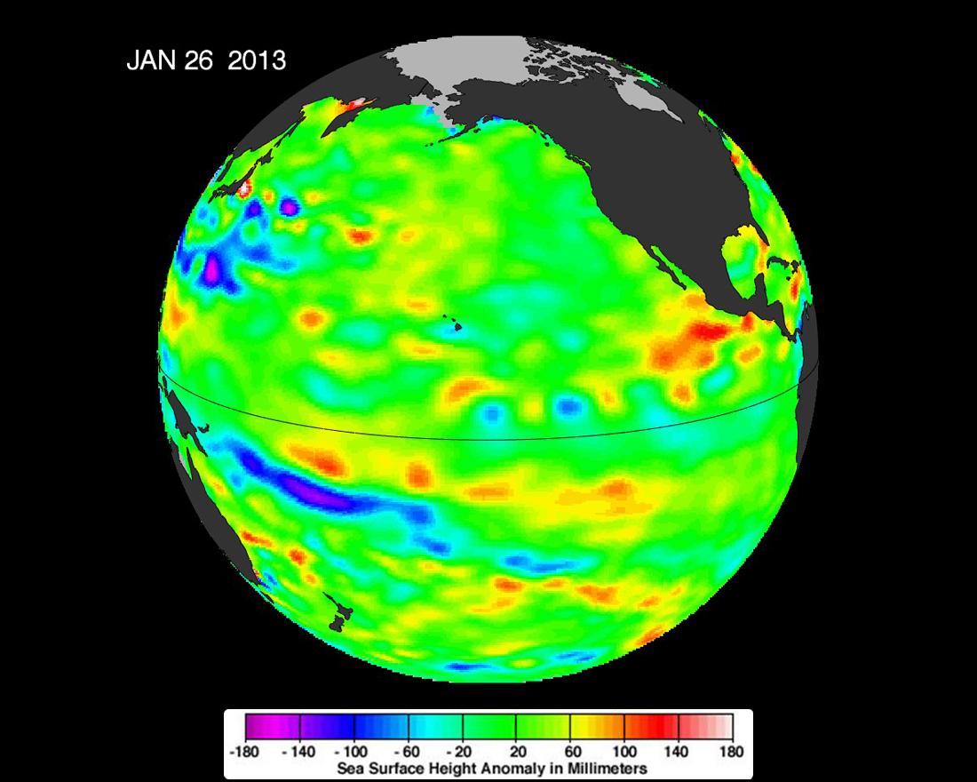
2013-02-07 | Earth |
OSTM/Jason-2 |
Altimeter |
1100x880x3 |
|
|||||
|
|
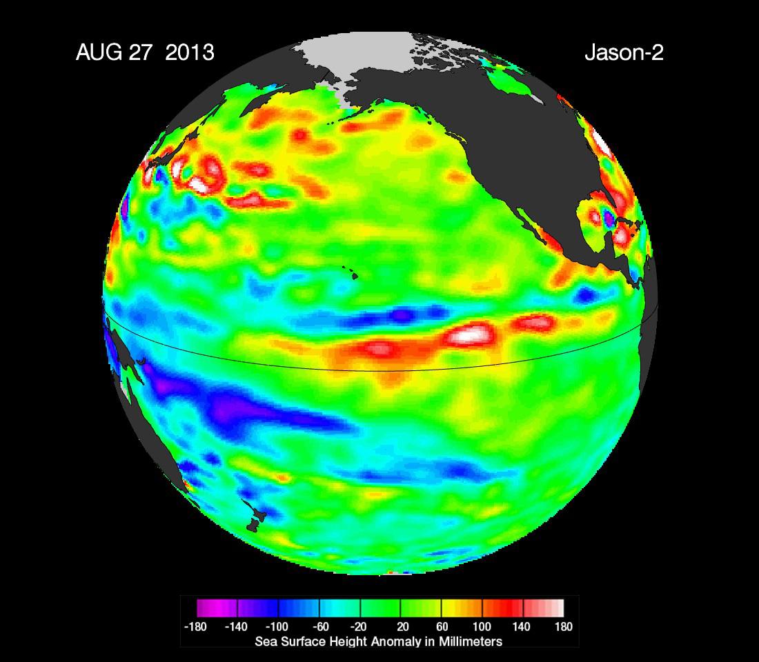
2013-09-09 | Earth |
OSTM/Jason-2 |
Altimeter |
1100x960x3 |
|
|||||
|
|
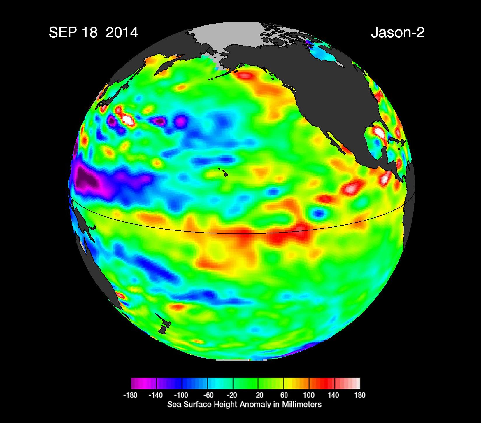
2014-09-22 | Earth |
OSTM/Jason-2 |
Altimeter |
1650x1450x3 |
|
|||||
|
|
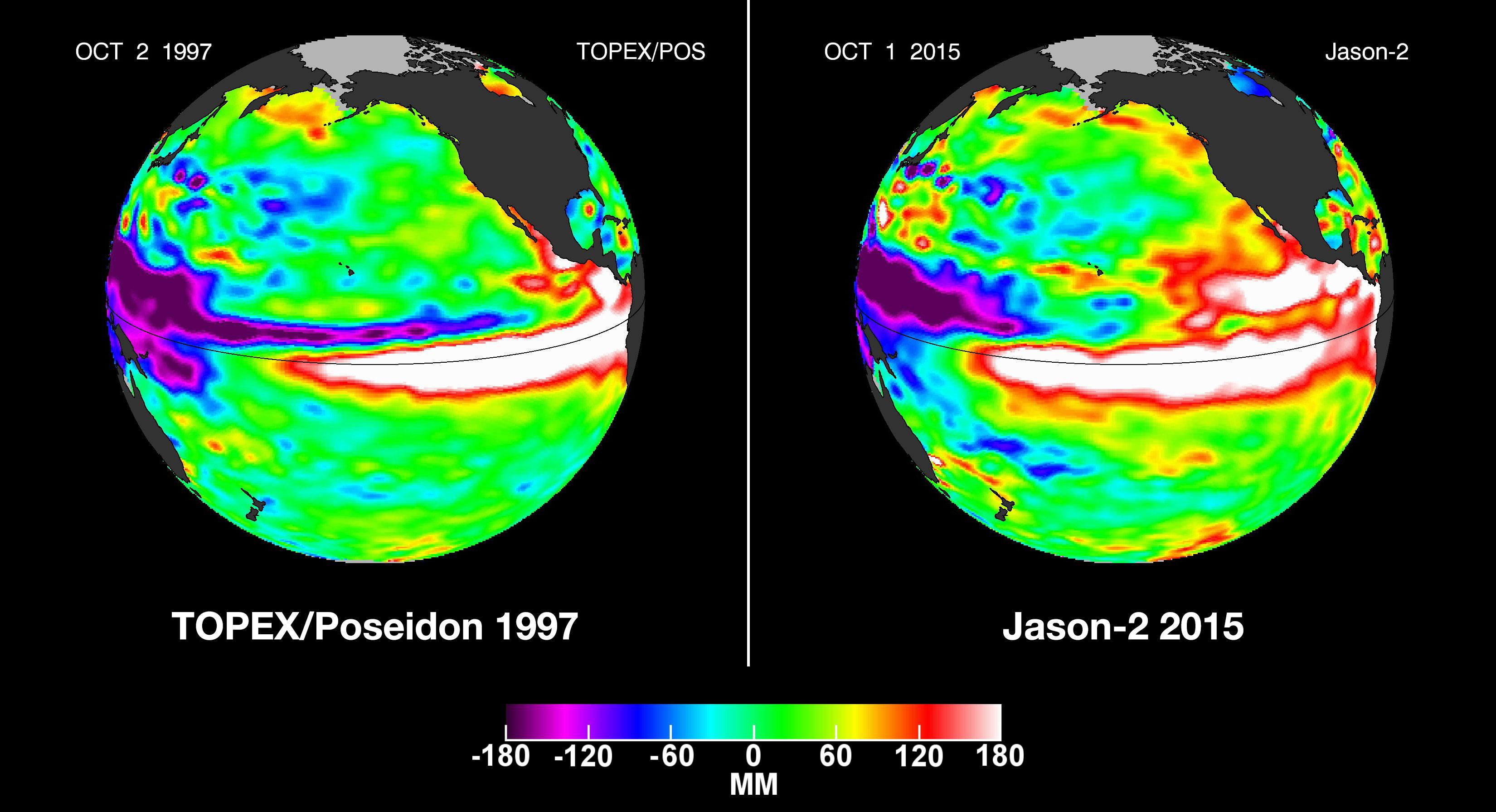
2015-10-19 | Earth |
OSTM/Jason-2 |
Altimeter |
3300x1791x3 |
|
|||||
|
|
2008-09-30 | Mars |
Phoenix |
MECA |
1160x504x1 |

|
|||||
|
|
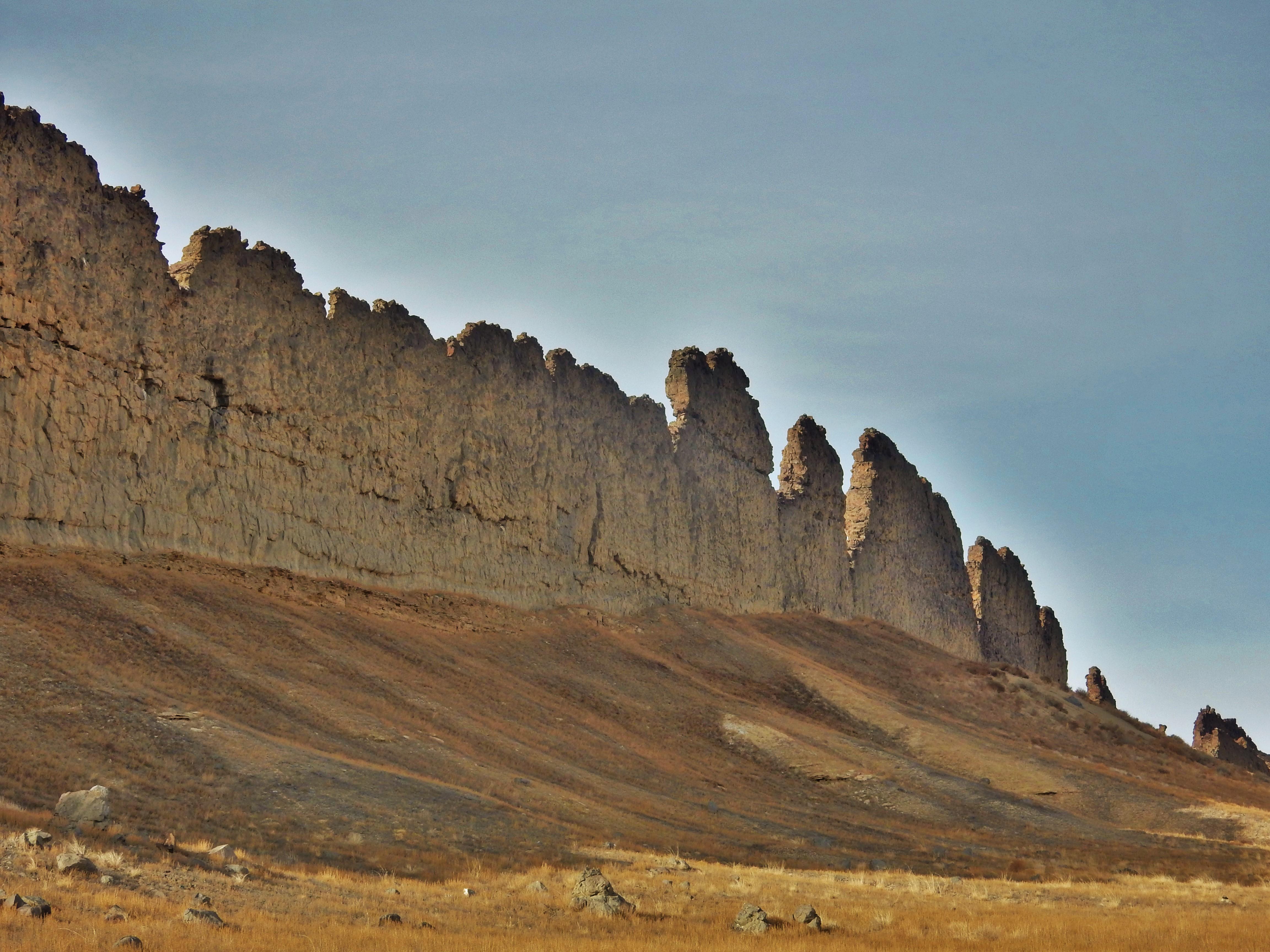
2008-09-30 | Earth |
Phoenix |
1228x910x1 | |
|
|||||
|
|
2023-08-14 | Earth |
Polar Radiant Energy in the Far-InfraRed Experiment (PREFIRE) |
1920x1080x3 | |
|
|||||

|
 |
|
|
|
|
|
|
 |
 |
|

|
| 1-100 | 101-200 | 201-300 | 301-400 | 401-500 | 501-600 | 601-700 | 701-800 | 801-900 | 901-1000 |
| Currently displaying images: 701 - 800 of 2277 |