|
Your search criteria found 2277 images Target is Earth |
| My List |
Addition Date | Target |
Mission
|
Instrument | Size |

|
2016-08-31 | Earth |
ARIA |
668x675x3 | |
|
|||||
|
|
2016-09-01 | Earth |
ARIA |
1390x1231x3 | |

|
|||||
|
|
2016-10-05 | Earth |
ARIA |
1313x1164x3 | |
|
|||||
|
|
2016-11-16 | Earth |
ARIA |
1119x1289x3 | |

|
|||||
|
|
2017-03-23 | Earth |
ARIA |
PALSAR-2 |
4481x2682x3 |
|
|||||
|
|
2017-08-30 | Earth |
ARIA |
PALSAR-2 |
1237x1222x3 |
|
|||||
|
|
2017-08-31 | Earth |
ARIA |
824x1173x3 | |
|
|||||
|
|
2017-08-31 | Earth |
ARIA |
811x1174x3 | |
|
|||||
|
|
2017-09-19 | Earth |
ARIA |
3174x2707x3 | |

|
|||||
|
|
2017-09-20 | Earth |
ARIA |
1860x1896x3 | |
|
|||||
|
|
2017-09-20 | Earth |
ARIA |
2512x2290x3 | |
|
|||||
|
|
2017-09-26 | Earth |
ARIA |
1600x900x3 | |

|
|||||
|
|
2017-09-29 | Earth |
ARIA |
2206x2112x3 | |

|
|||||
|
|
2017-10-18 | Earth |
ARIA |
2041x2471x3 | |
|
|||||
|
|
2017-12-14 | Earth |
ARIA |
1786x1008x3 | |
|
|||||
|
|
2018-02-21 | Earth |
ARIA |
4568x3022x3 | |

|
|||||
|
|
2018-02-22 | Earth |
ARIA |
2850x2116x3 | |
|
|||||
|
|
2018-11-12 | Earth |
ARIA |
SAR |
5176x2873x3 |
|
|||||
|
|
2018-08-08 | Earth |
ARIA |
4135x2584x3 | |
|
|||||
|
|
2018-09-05 | Earth |
ARIA |
SAR |
6776x4377x3 |
|
|||||
|
|
2018-09-10 | Earth |
ARIA |
SAR |
1377x964x3 |
|
|||||
|
|
2018-09-17 | Earth |
ARIA |
SAR |
1233x1125x3 |

|
|||||
|
|
2018-09-18 | Earth |
ARIA |
SAR |
1231x1077x3 |
|
|||||
|
|
2018-10-05 | Earth |
ARIA |
SAR |
5630x4092x3 |
|
|||||
|
|
2018-11-19 | Earth |
ARIA |
SAR |
5949x3249x3 |
|
|||||
|
|
2019-04-01 | Earth |
ARIA |
SAR |
3128x2180x3 |
|
|||||
|
|
2019-07-09 | Earth |
ARIA |
SAR |
1803x2176x3 |

|
|||||
|
|
2019-07-11 | Earth |
ARIA |
1754x1959x3 | |
|
|||||
|
|
2019-07-12 | Earth |
ARIA |
SAR |
2754x1965x3 |

|
|||||
|
|
2019-09-03 | Earth |
ARIA |
SAR |
6900x4772x3 |
|
|||||
|
|
2019-10-15 | Earth |
ARIA |
SAR |
3063x2249x3 |
|
|||||
|
|
2020-01-10 | Earth |
ARIA |
1710x1055x3 | |
|
|||||
|
|
2020-01-15 | Earth |
ARIA |
SAR |
2437x1918x3 |
|
|||||
|
|
2020-08-07 | Earth |
ARIA |
2944x2480x3 | |
|
|||||
|
|
2021-08-17 | Earth |
ARIA |
2642x2072x3 | |
|
|||||
|
|
2022-10-06 | Earth |
ARIA |
SAR |
4042x2475x3 |
|
|||||
|
|
2022-12-09 | Earth |
ARIA |
SAR |
3203x2451x3 |
|
|||||
|
|
2023-02-09 | Earth |
ARIA |
SAR |
720x480x3 |

|
|||||
|
|
2010-10-25 | Earth |
Aerosol-Cloud-Ecosystem (ACE) |
AirMSPI |
1053x380x3 |
|
|||||
|
|
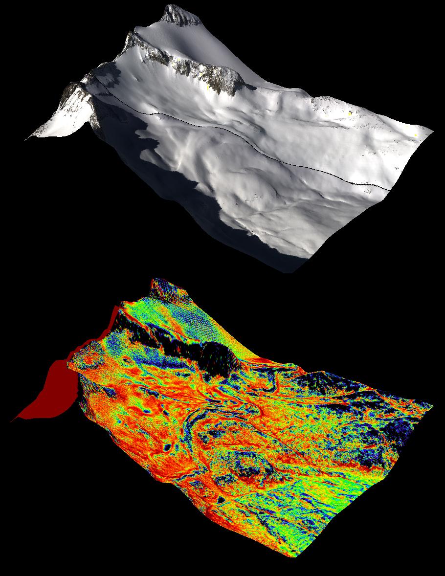
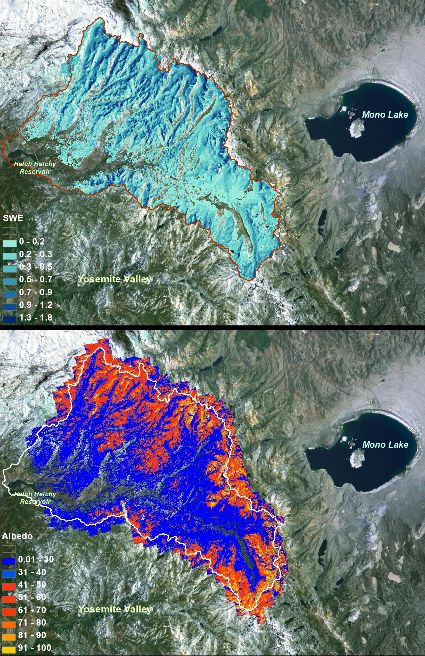
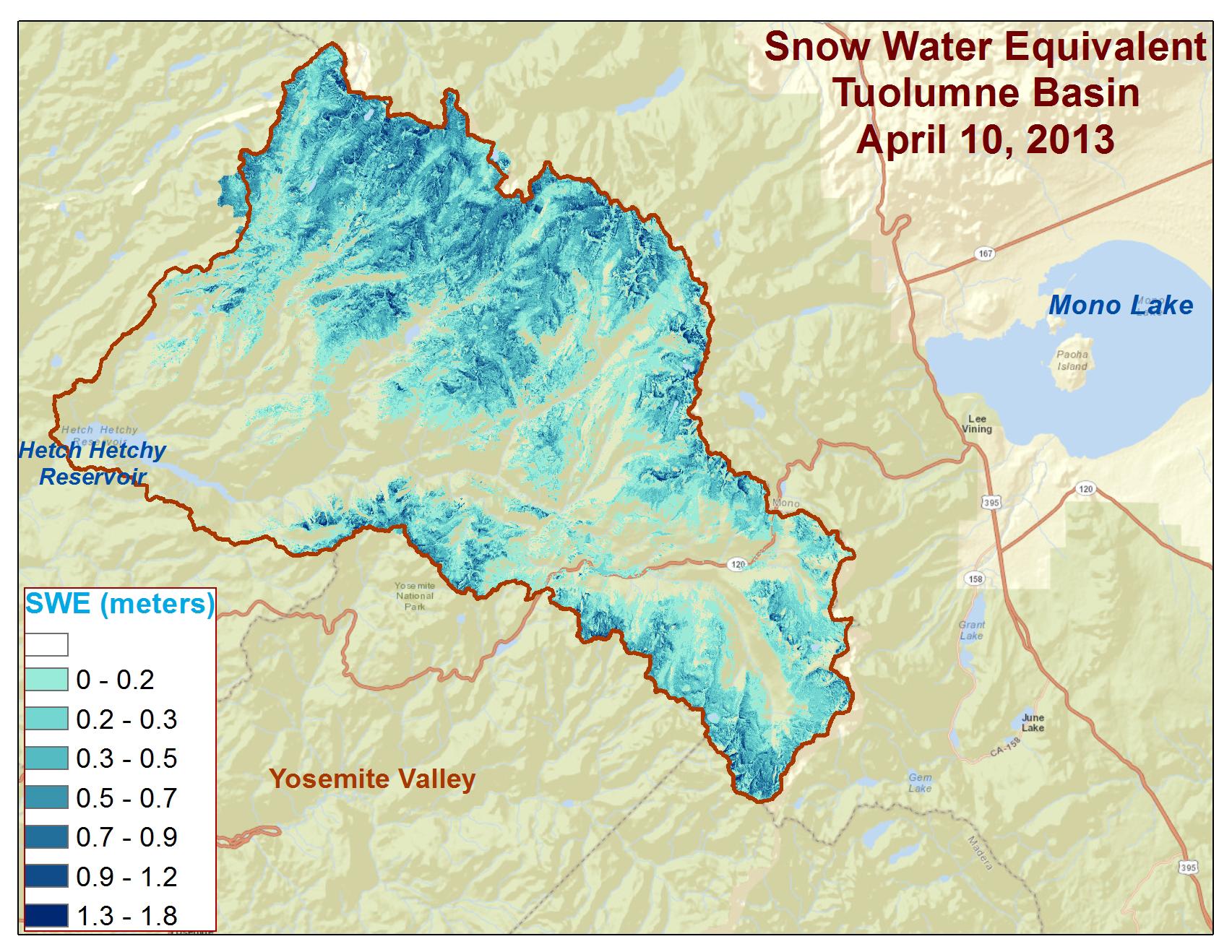
2013-05-02 | Earth |
Airborne Snow Observatory |
4000x3000x3 | |
|
|||||
|
|
2013-05-02 | Earth |
Airborne Snow Observatory |
910x1178x3 | |
|
|||||
|
|
2013-05-02 | Earth |
Airborne Snow Observatory |
1648x2546x3 | |
|
|||||
|
|
2013-12-09 | Earth |
Airborne Snow Observatory |
639x361x3 | |
|
|||||
|
|
2013-12-09 | Earth |
Airborne Snow Observatory |
1705x1318x3 | |
|
|||||
|
|
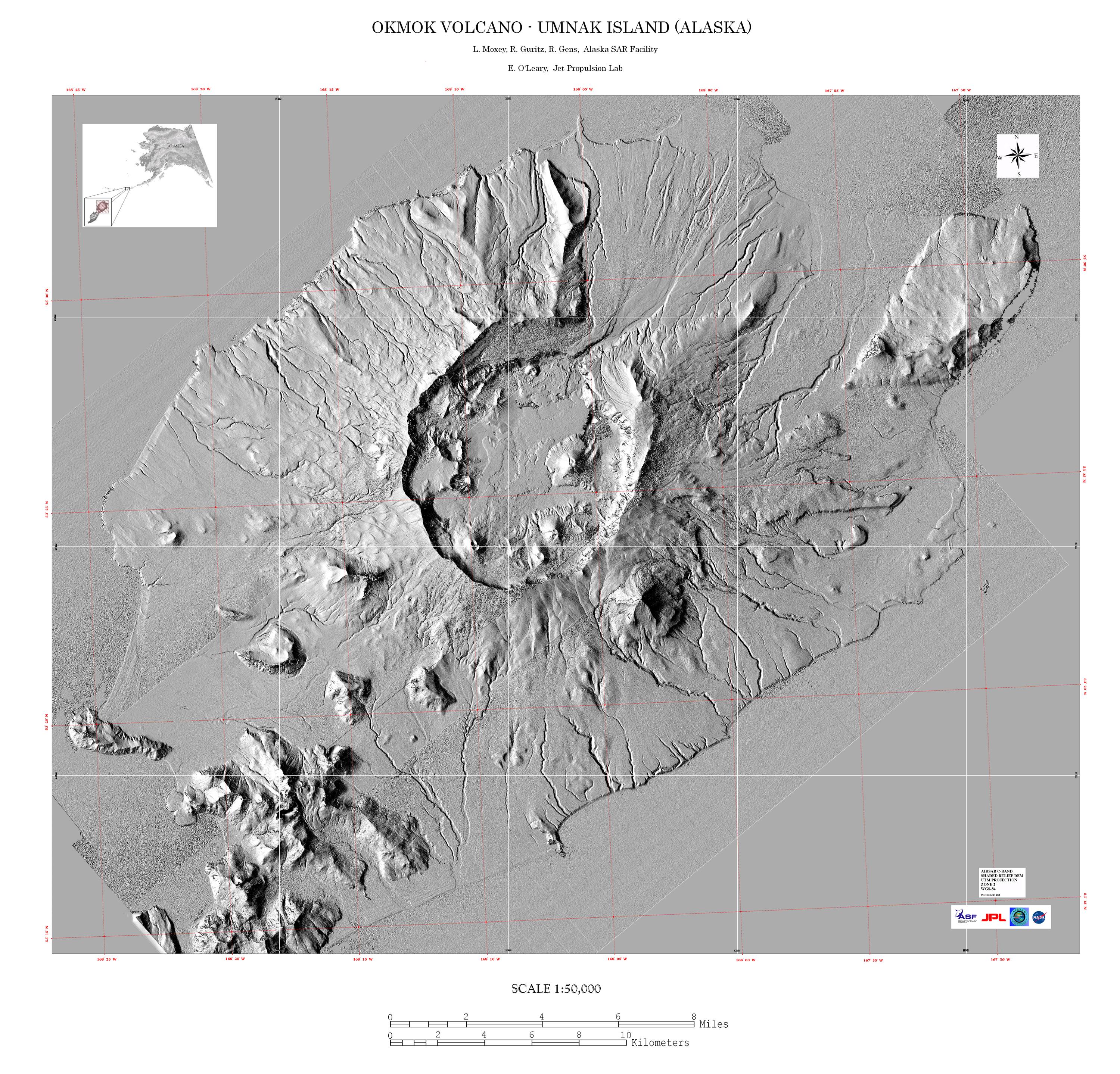
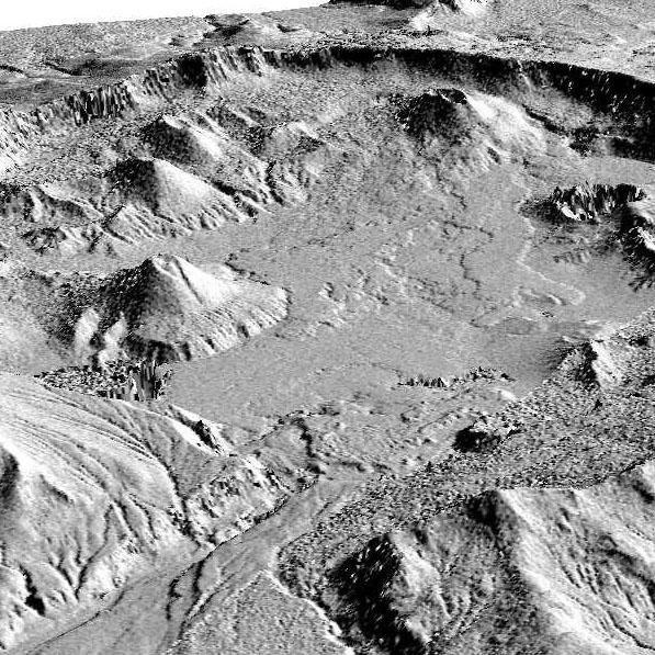
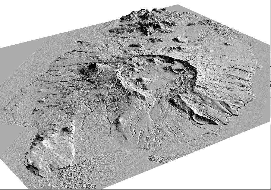
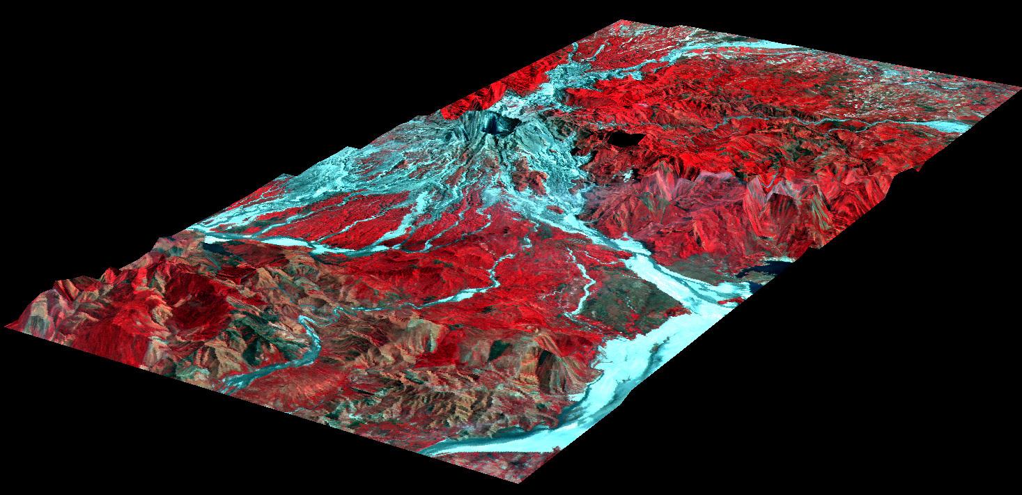
1999-04-15 | Earth |
Airborne Synthetic Aperture Radar (AIRSAR) |
AirSAR |
1081x2137x3 |

|
|||||
|
|
2000-12-11 | Earth |
Airborne Synthetic Aperture Radar (AIRSAR) |
AirSAR |
1992x2018x3 |
|
|||||
|
|
2000-12-11 | Earth |
Airborne Synthetic Aperture Radar (AIRSAR) |
AirSAR |
2401x11984x3 |
|
|
|||||
|
|
2001-03-07 | Earth |
Airborne Synthetic Aperture Radar (AIRSAR) |
AirSAR |
1321x825x3 |
|
|||||
|
|
2001-11-04 | Earth |
Airborne Synthetic Aperture Radar (AIRSAR) |
AirSAR |
899x630x3 |
|
|||||
|
|
2001-11-04 | Earth |
Airborne Synthetic Aperture Radar (AIRSAR) |
AirSAR |
899x630x3 |
|
|||||
|
|
2001-11-04 | Earth |
Airborne Synthetic Aperture Radar (AIRSAR) |
AirSAR |
3000x2878x3 |
|
|||||
|
|
2001-11-04 | Earth |
Airborne Synthetic Aperture Radar (AIRSAR) |
AirSAR |
597x597x1 |
|
|||||
|
|
2001-11-04 | Earth |
Airborne Synthetic Aperture Radar (AIRSAR) |
AirSAR |
899x630x1 |
|
|||||
|
|
2001-11-04 | Earth |
Airborne Synthetic Aperture Radar (AIRSAR) |
AirSAR |
1467x711x3 |
|
|||||
|
|
2001-11-04 | Earth |
Airborne Synthetic Aperture Radar (AIRSAR) |
AirSAR |
1000x875x3 |
|
|||||
|
|
2002-10-11 | Earth |
Airborne Synthetic Aperture Radar (AIRSAR) |
AirSAR |
1064x976x3 |
|
|||||
|
|
2002-10-11 | Earth |
Airborne Synthetic Aperture Radar (AIRSAR) |
AirSAR |
670x671x3 |
|
|||||
|
|
2002-10-11 | Earth |
Airborne Synthetic Aperture Radar (AIRSAR) |
AirSAR |
1288x976x3 |
|
|||||
|
|
2002-10-11 | Earth |
Airborne Synthetic Aperture Radar (AIRSAR) |
AirSAR |
1288x976x3 |
|
|||||
|
|
2002-10-11 | Earth |
Airborne Synthetic Aperture Radar (AIRSAR) |
AirSAR |
949x867x3 |
|
|||||
|
|
2002-10-11 | Earth |
Airborne Synthetic Aperture Radar (AIRSAR) |
AirSAR |
1898x1734x3 |

|
|||||
|
|
2003-03-25 | Earth |
Airborne Synthetic Aperture Radar (AIRSAR) |
AirSAR |
783x1192x3 |
|
|||||
|
|
2002-06-14 | Earth |
Aqua |
AIRS |
2144x1184x3 |
|
|||||
|
|
2002-07-03 | Earth |
Aqua |
AIRS |
362x814x3 |
|
|
|||||
|
|
2002-07-13 | Earth |
Aqua |
AIRS |
1536x1536x3 |
|
|||||
|
|
2002-09-26 | Earth |
Aqua |
AIRS |
674x740x3 |
|
|||||
|
|
2002-11-13 | Earth |
Aqua |
AIRS |
960x1076x3 |
|
|||||
|
|
2002-10-02 | Earth |
Aqua |
AIRS |
699x419x3 |

|
|||||
|
|
2002-12-19 | Earth |
Aqua |
AIRS |
1280x1280x3 |
|
|||||
|
|
2003-03-11 | Earth |
Aqua |
AIRS |
1003x946x3 |

|
|||||
|
|
2003-06-02 | Earth |
Aqua |
AIRS |
1437x921x3 |
|
|||||
|
|
2003-09-18 | Earth |
Aqua |
AIRS |
489x471x3 |
|
|||||
|
|
2003-09-20 | Earth |
Aqua |
AIRS Scatterometer (SeaWinds) |
500x500x3 |
|
|||||
|
|
2003-09-20 | Earth |
Aqua |
AIRS |
500x500x3 |
|
|||||
|
|
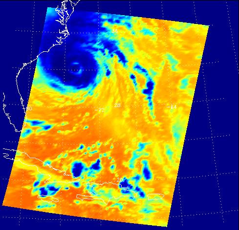
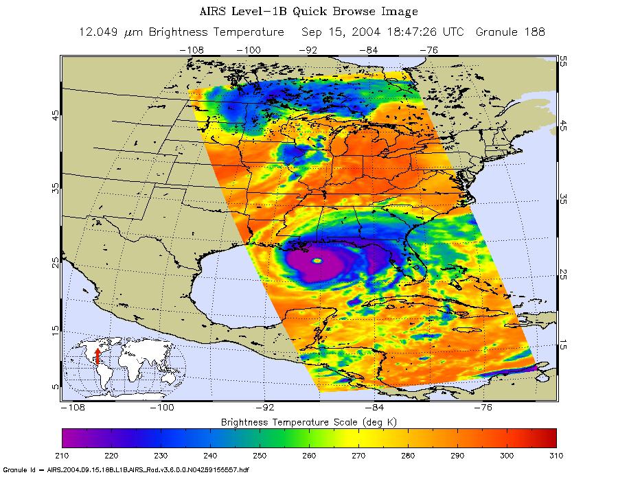
2004-09-15 | Earth |
Aqua |
AIRS |
900x695x3 |
|
|||||
|
|
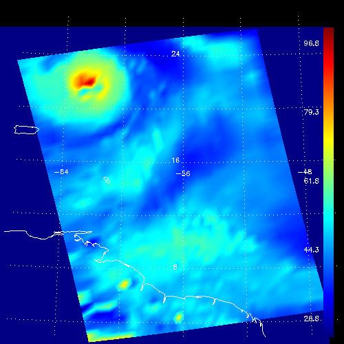
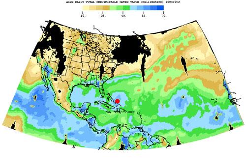
2004-08-30 | Earth |
Aqua |
AIRS |
500x342x3 |
|
|||||
|
|
2004-08-30 | Earth |
Aqua |
AIRS |
490x471x3 |
|
|||||
|
|
2004-07-14 | Earth |
Aqua |
AIRS |
1000x1000x3 |
|
|||||
|
|
2004-07-23 | Earth |
Aqua |
AIRS |
1000x1000x3 |
|
|||||
|
|
2004-07-26 | Earth |
Aqua |
AIRS |
1000x1000x3 |
|
|||||
|
|
2005-08-24 | Earth |
Aqua |
AIRS |
3200x2400x3 |
|
|||||
|
|
2005-08-30 | Earth |
Aqua |
AIRS |
900x695x3 |
|
|||||
|
|
2004-08-03 | Earth |
Aqua |
AIRS |
792x998x3 |
|
|||||
|
|
2004-08-12 | Earth |
Aqua |
AIRS |
900x695x3 |
|
|||||
|
|
2006-07-20 | Earth |
Aqua |
AIRS |
900x695x3 |
|
|||||
|
|
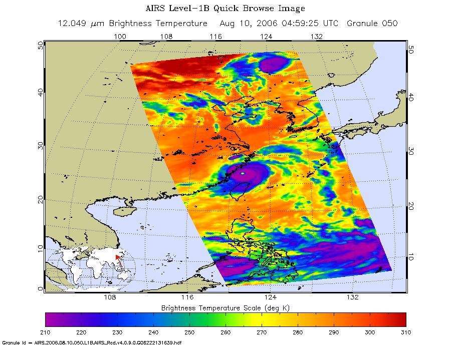
2006-08-10 | Earth |
Aqua |
AIRS |
900x695x3 |
|
|||||
|
|
2007-01-19 | Earth |
Aqua |
AIRS |
504x360x3 |
|
|||||
|
|
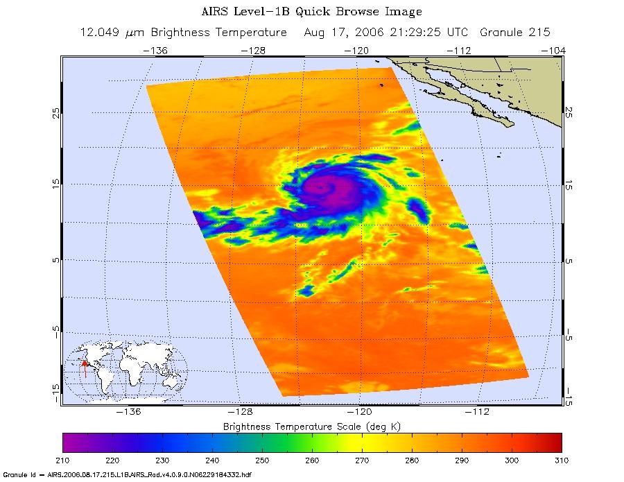
2006-08-17 | Earth |
Aqua |
AIRS |
900x695x3 |
|
|||||
|
|
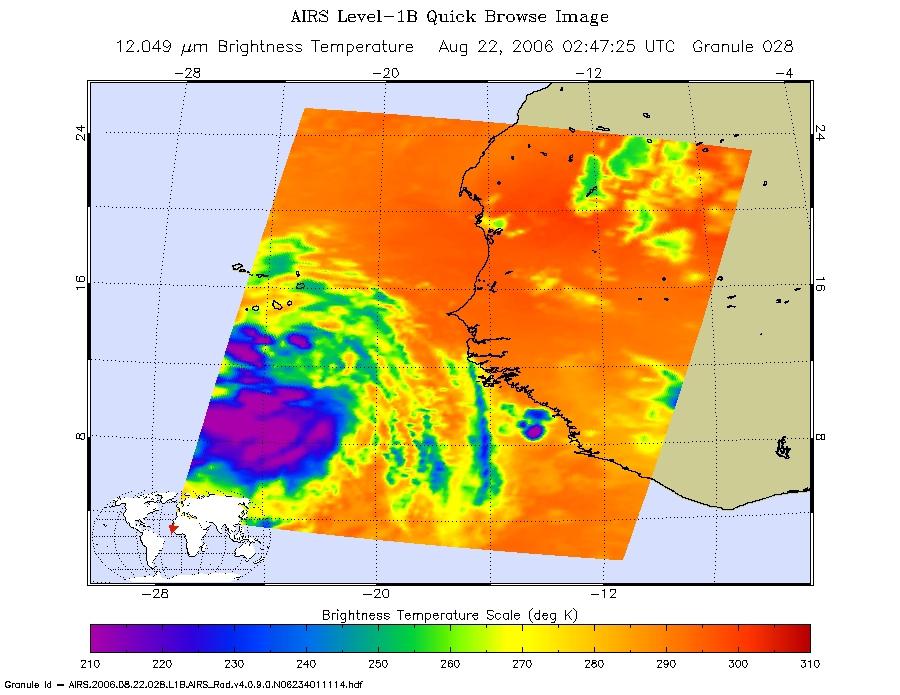
2006-08-22 | Earth |
Aqua |
AIRS |
900x695x3 |
|
|||||
|
|
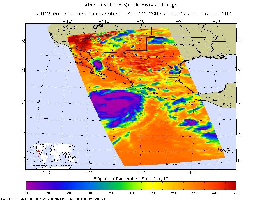
2006-08-22 | Earth |
Aqua |
AIRS |
900x695x3 |

|
|||||
|
|
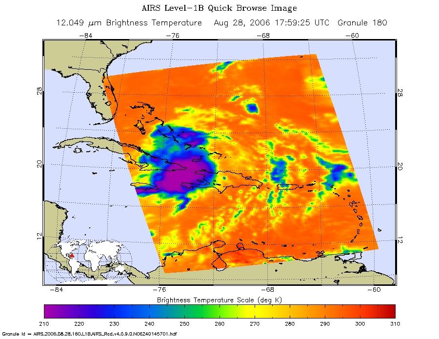
2006-08-28 | Earth |
Aqua |
AIRS |
900x695x3 |
|
|||||
|
|
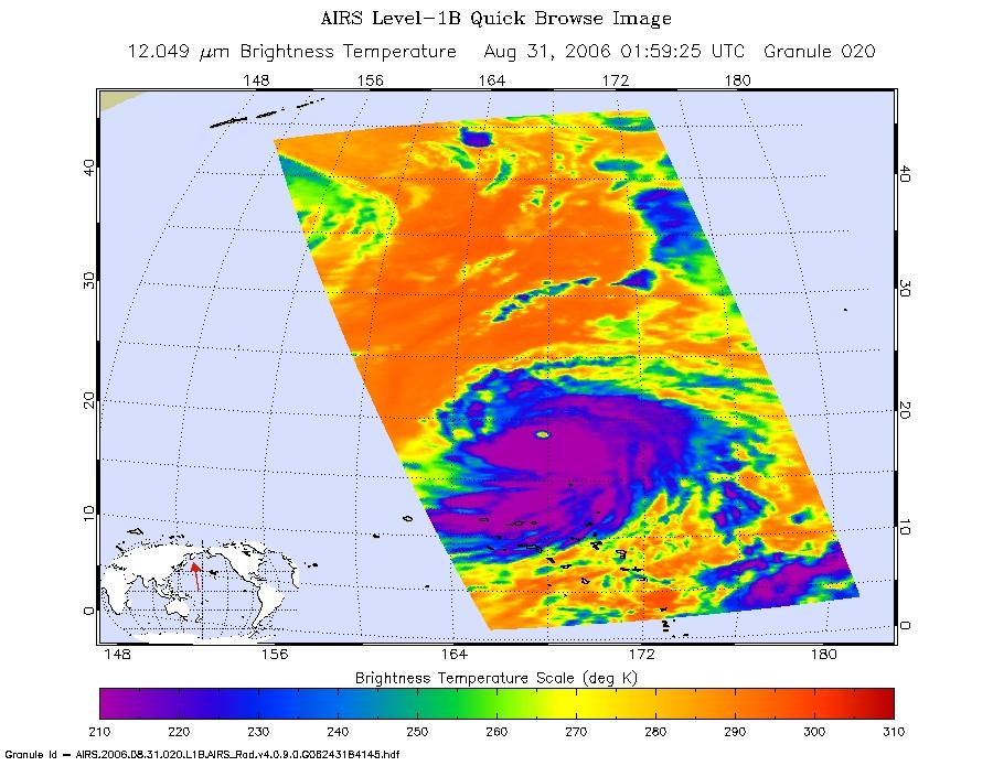
2006-08-29 | Earth |
Aqua |
AIRS |
900x695x3 |
|
|||||
|
|
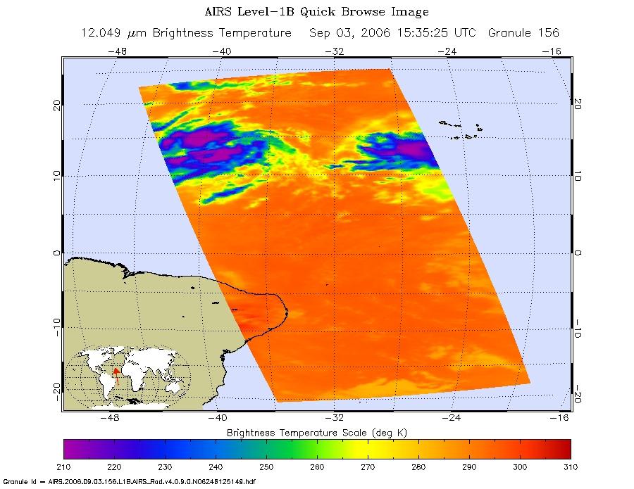
2006-09-03 | Earth |
Aqua |
AIRS |
900x695x3 |
|
|||||
|
|
2002-09-08 | Earth |
Aqua |
AIRS |
641x469x3 |
|
|||||
|
|
2005-07-15 | Earth |
Aqua |
AIRS |
480x187x3 |
|
|||||
|
|
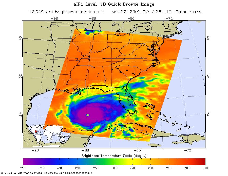
2005-09-22 | Earth |
Aqua |
AIRS |
900x695x3 |
|
|||||
|
|
2007-05-18 | Earth |
Aqua |
AIRS |
1200x900x3 |

|
|||||
|
|
2007-07-24 | Earth |
Aqua |
AIRS |
6444x5172x3 |
|
|||||
|
|
2007-07-24 | Earth |
Aqua |
AIRS |
1980x1524x3 |
|
|||||
|
|
2007-07-24 | Earth |
Aqua |
AIRS |
2500x1875x3 |
|
|||||

|
 |
 |
 |
|
|
|
|
|
|
|

|
| 1-100 | 101-200 | 201-300 | 301-400 | 401-500 | 501-600 | 601-700 | 701-800 | 801-900 | 901-1000 |
| Currently displaying images: 101 - 200 of 2277 |