|
Your search criteria found 2277 images Target is Earth |
| My List |
Addition Date | Target | Mission |
Instrument
|
Size |

|
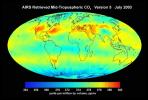
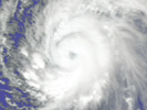
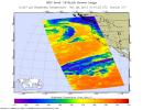
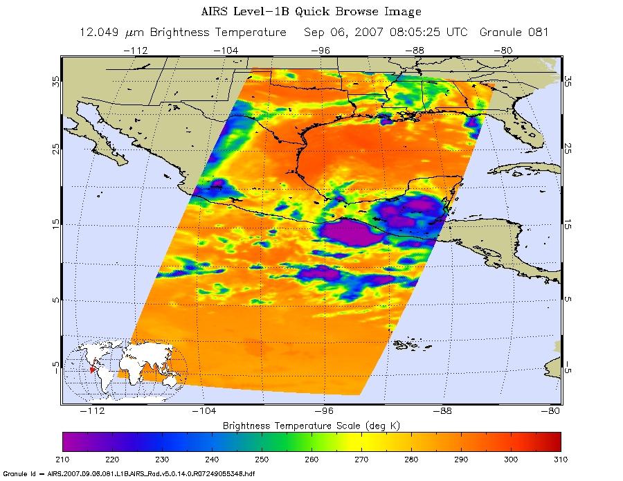
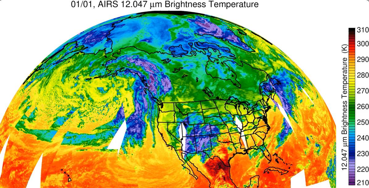
2007-07-24 | Earth |
Aqua |
AIRS |
1980x1524x3 |
|
|||||
|
|
2007-07-24 | Earth |
Aqua |
AIRS |
2500x1875x3 |
|
|||||
|
|
2007-07-24 | Earth |
Aqua |
AIRS |
2931x2223x3 |
|
|||||
|
|
2007-07-24 | Earth |
Aqua |
AIRS |
2102x1276x3 |
|
|||||
|
|
2007-09-11 | Earth |
Aqua |
AIRS |
1280x720x3 |
|
|||||
|
|
2007-10-23 | Earth |
Aqua |
AIRS |
1000x1000x3 |
|
|||||
|
|
2008-03-12 | Earth |
Aqua |
AIRS |
4196x2747x3 |
|
|||||
|
|
2008-03-17 | Earth |
Aqua |
AIRS |
1428x1836x3 |
|
|||||
|
|
2007-05-16 | Earth |
Aqua |
AIRS |
720x486x3 |
|
|||||
|
|
2007-08-15 | Earth |
Aqua |
AIRS |
1000x1000x3 |
|
|||||
|
|
2007-08-15 | Earth |
Aqua |
AIRS |
1000x1000x3 |
|
|||||
|
|
2007-08-18 | Earth |
Aqua |
AIRS |
1000x1000x3 |
|
|||||
|
|
2007-09-03 | Earth |
Aqua |
AIRS |
900x695x3 |
|
|||||
|
|
2008-07-22 | Earth |
Aqua |
AIRS |
1026x577x3 |
|
|||||
|
|
2008-08-06 | Earth |
Aqua |
AIRS |
727x329x3 |
|
|||||
|
|
2008-08-13 | Earth |
Aqua |
AIRS |
321x239x3 |
|
|||||
|
|
2008-08-13 | Earth |
Aqua |
AIRS |
319x240x3 |
|
|||||
|
|
2008-08-14 | Earth |
Aqua |
AIRS |
640x480x3 |
|
|||||
|
|
2008-09-17 | Earth |
Aqua |
AIRS |
638x478x3 |

|
|||||
|
|
2008-09-22 | Earth |
Aqua |
AIRS |
1777x948x3 |
|
|||||
|
|
2008-09-24 | Earth |
Aqua |
AIRS |
5000x3750x3 |
|
|||||
|
|
2008-11-03 | Earth |
Aqua |
AIRS |
3840x2160x3 |
|
|||||
|
|
2008-11-18 | Earth |
Aqua |
AIRS |
1024x576x3 |
|
|||||
|
|
2009-02-19 | Earth |
Aqua |
AIRS |
764x522x3 |
|
|||||
|
|
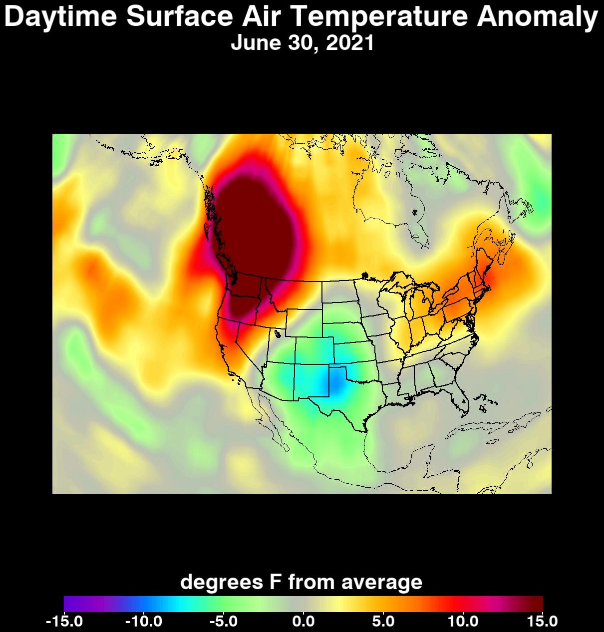
2009-06-30 | Earth |
Aqua |
AIRS |
1600x1025x3 |
|
|||||
|
|
2009-06-30 | Earth |
Aqua |
AIRS |
1600x1025x3 |
|
|||||
|
|
2009-06-30 | Earth |
Aqua |
AIRS |
1600x1025x3 |
|
|||||
|
|
2009-09-04 | Earth |
Aqua |
AIRS |
640x500x3 |
|
|||||
|
|
2009-09-24 | Earth |
Aqua |
AIRS |
1000x1000x3 |
|
|||||
|
|
2009-11-09 | Earth |
Aqua |
AIRS |
1460x1179x3 |
|
|||||
|
|
2010-04-15 | Earth |
Aqua |
AIRS |
900x695x3 |
|
|||||
|
|
2010-05-17 | Earth |
Aqua |
AIRS |
2417x1887x3 |
|
|||||
|
|
2010-07-24 | Earth |
Terra |
AIRS |
900x695x3 |
|
|||||
|
|
2010-08-07 | Earth |
Terra |
AIRS |
3200x4800x3 |
|
|||||
|
|
2010-08-19 | Earth |
Terra |
AIRS |
2000x987x3 |
|
|||||
|
|
2010-08-19 | Earth |
Aqua |
AIRS |
1200x901x3 |

|
|||||
|
|
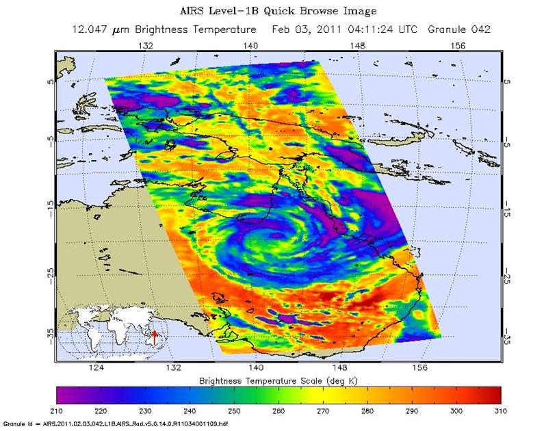
2011-02-03 | Earth |
Aqua |
AIRS |
882x630x3 |
|
|||||
|
|
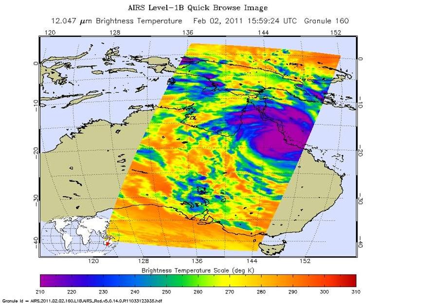
2011-02-02 | Earth |
Aqua |
AIRS |
1800x1150x3 |
|
|||||
|
|
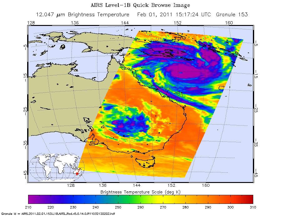
2011-02-02 | Earth |
Aqua |
AIRS |
900x695x3 |
|
|||||
|
|
2011-02-04 | Earth |
Aqua |
AIRS |
814x630x3 |
|
|||||
|
|
2011-04-18 | Earth |
Aqua |
AIRS |
1200x860x3 |
|
|||||
|
|
2011-05-28 | Earth |
Aqua |
AIRS |
780x797x3 |
|
|||||
|
|
2011-07-26 | Earth |
Aqua |
AIRS |
1276x744x3 |
|
|||||
|
|
2011-07-28 | Earth |
Aqua |
AIRS |
1200x900x3 |
|
|||||
|
|
2011-07-29 | Earth |
Aqua |
AIRS |
927x1000x3 |
|
|||||
|
|
2011-08-02 | Earth |
Aqua |
AIRS |
1000x1000x3 |
|
|||||
|
|
2011-08-03 | Earth |
Aqua |
AIRS |
900x695x3 |
|
|||||
|
|
2011-08-28 | Earth |
Aqua |
AIRS |
900x695x3 |
|
|||||
|
|
2012-08-30 | Earth |
Aqua |
AIRS |
1200x1012x3 |
|
|||||
|
|
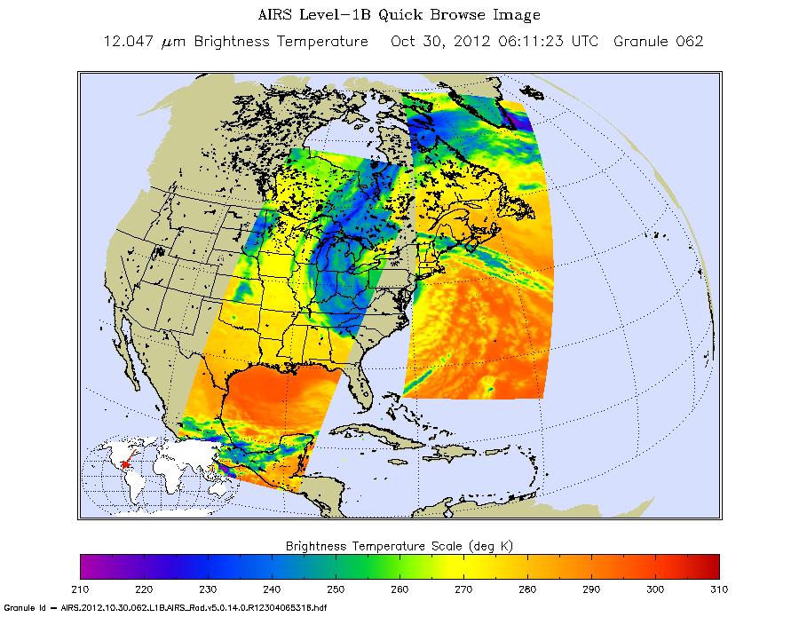
2012-10-30 | Earth |
Aqua |
AIRS |
900x695x3 |
|
|||||
|
|
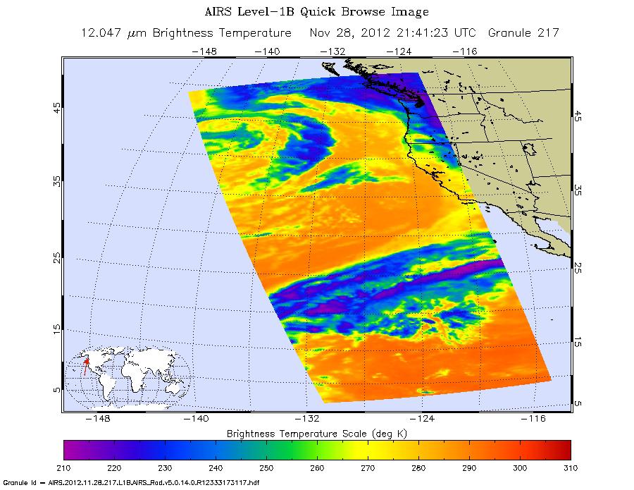
2012-11-29 | Earth |
Aqua |
AIRS |
900x695x3 |
|
|||||
|
|
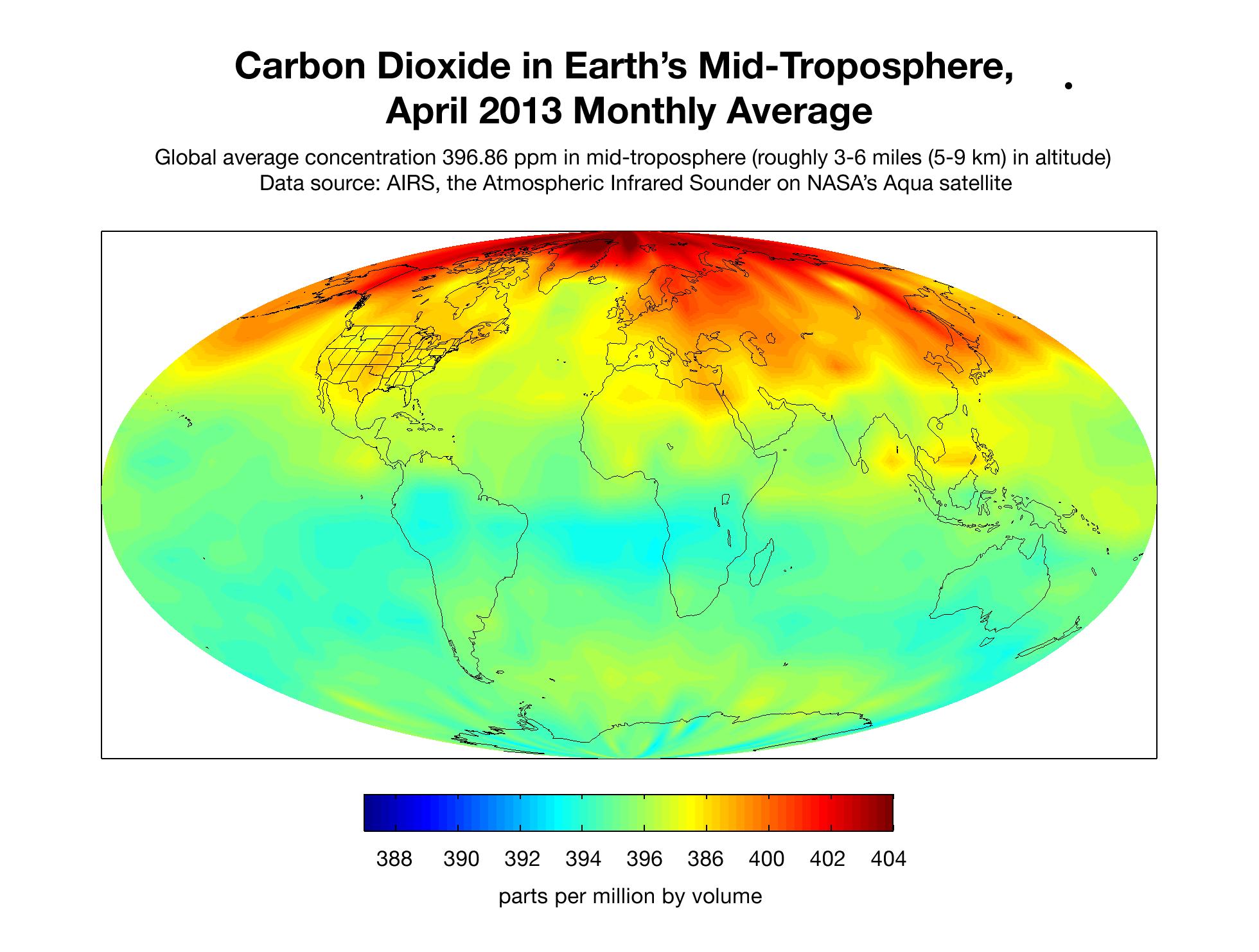
2013-05-22 | Earth |
Aqua |
AIRS |
1976x1900x3 |
|
|||||
|
|
2013-05-22 | Earth |
Aqua |
AIRS |
2084x1946x3 |
|
|||||
|
|
2013-05-22 | Earth |
Aqua |
AIRS |
1960x1482x3 |

|
|||||
|
|
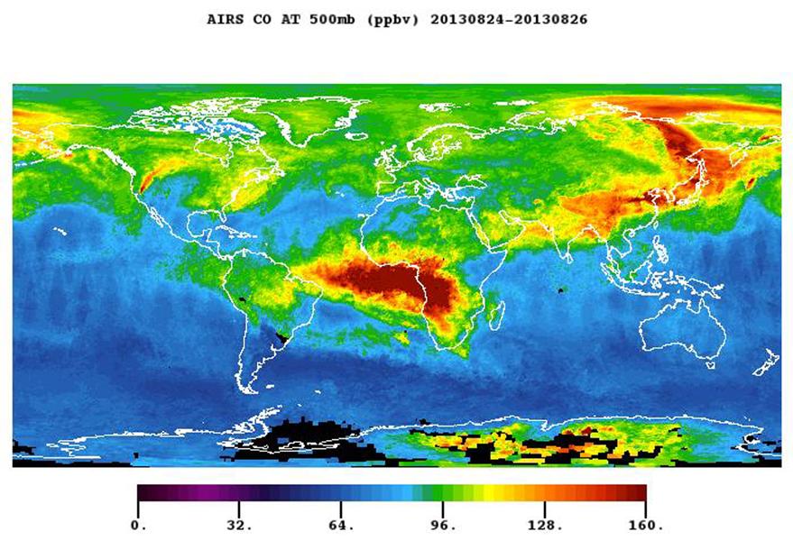
2013-08-27 | Earth |
Aqua |
AIRS |
879x600x3 |
|
|||||
|
|
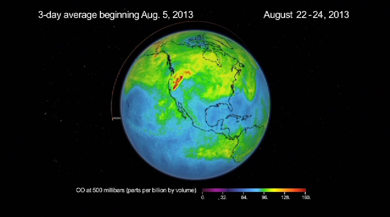
2013-08-27 | Earth |
Aqua |
AIRS |
1279x713x3 |
|
|||||
|
|
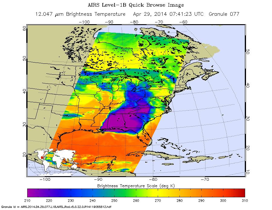
2014-04-29 | Earth |
Aqua |
AIRS |
900x695x3 |

|
|||||
|
|
2015-05-07 | Earth |
Aqua |
AIRS |
737x467x3 |
|
|||||
|
|
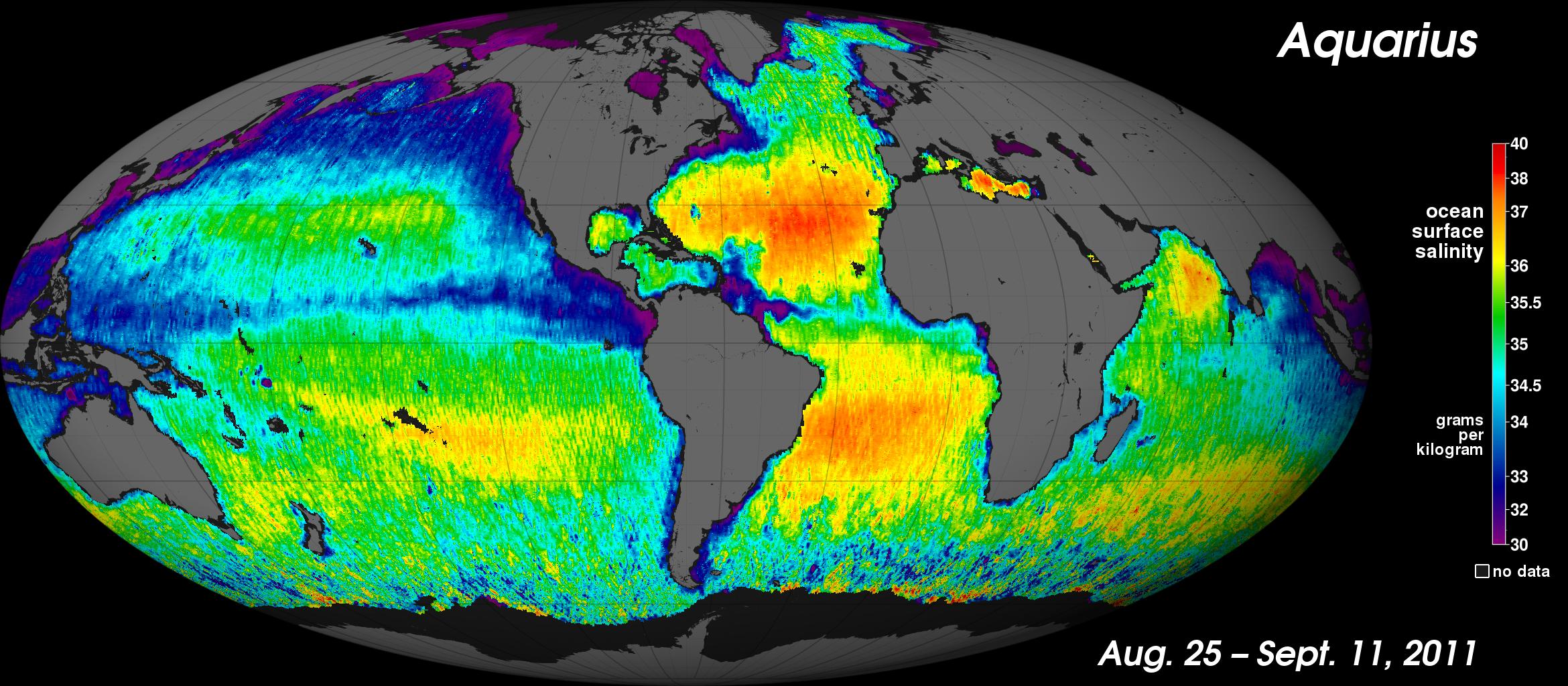
2015-10-30 | Earth |
Aquarius |
AIRS |
2400x1800x3 |

|
|||||
|
|
2016-05-11 | Earth |
Aqua |
AIRS |
914x569x3 |
|
|||||
|
|
2016-10-06 | Earth |
Aqua |
AIRS |
876x960x3 |
|
|||||
|
|
2016-10-07 | Earth |
Aquarius |
AIRS |
1041x800x3 |
|
|||||
|
|
2017-01-13 | Earth |
Aqua |
AIRS |
649x464x3 |
|
|||||
|
|
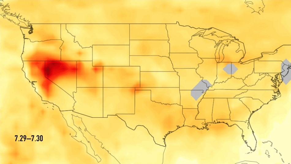
2017-08-28 | Earth |
Aqua |
AIRS |
900x695x3 |
|
|||||
|
|
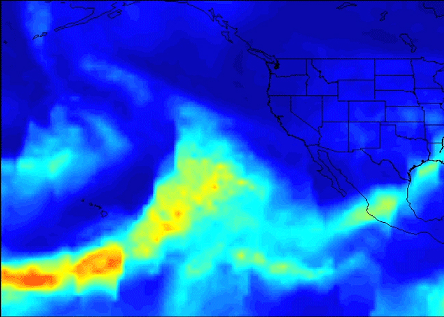
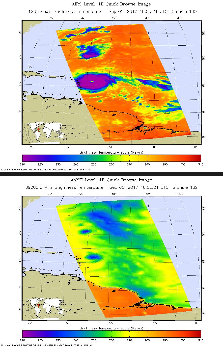
2017-09-05 | Earth |
Aqua |
AIRS |
900x1405x3 |
|
|||||
|
|
2017-09-08 | Earth |
Aqua |
AIRS |
1920x1080x3 |

|
|||||
|
|
2018-03-19 | Earth |
Aqua |
AIRS |
2400x1800x3 |
|
|||||
|
|
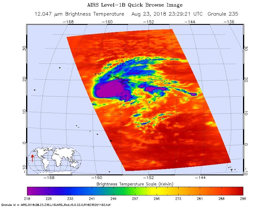
2018-08-14 | Earth |
Aqua |
AIRS |
950x534x3 |
|
|||||
|
|
2018-08-24 | Earth |
Aqua |
AIRS |
900x695x3 |
|
|||||
|
|
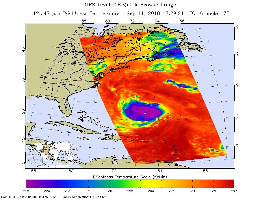
2018-09-12 | Earth |
Aqua |
AIRS |
900x695x3 |
|
|||||
|
|
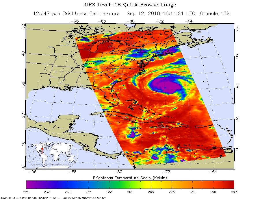
2018-09-12 | Earth |
Aqua |
AIRS |
900x695x3 |
|
|||||
|
|
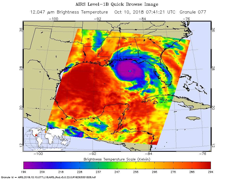
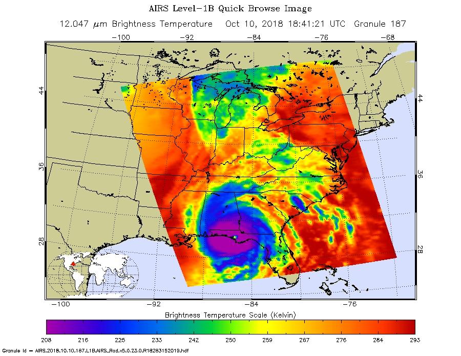
2018-10-10 | Earth |
Aqua |
AIRS |
900x695x3 |
|
|||||
|
|
2018-10-10 | Earth |
Aqua |
AIRS |
900x695x3 |
|
|||||
|
|
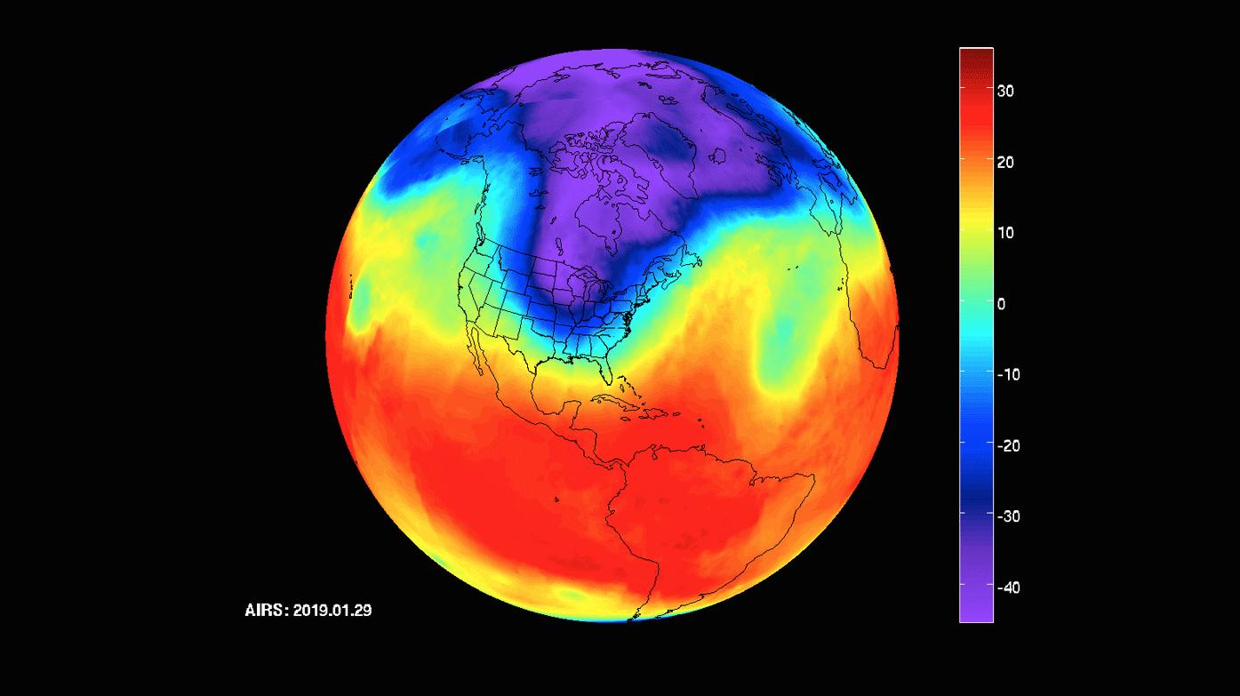
2019-01-31 | Earth |
Aqua |
AIRS |
1395x783x3 |
|
|||||
|
|
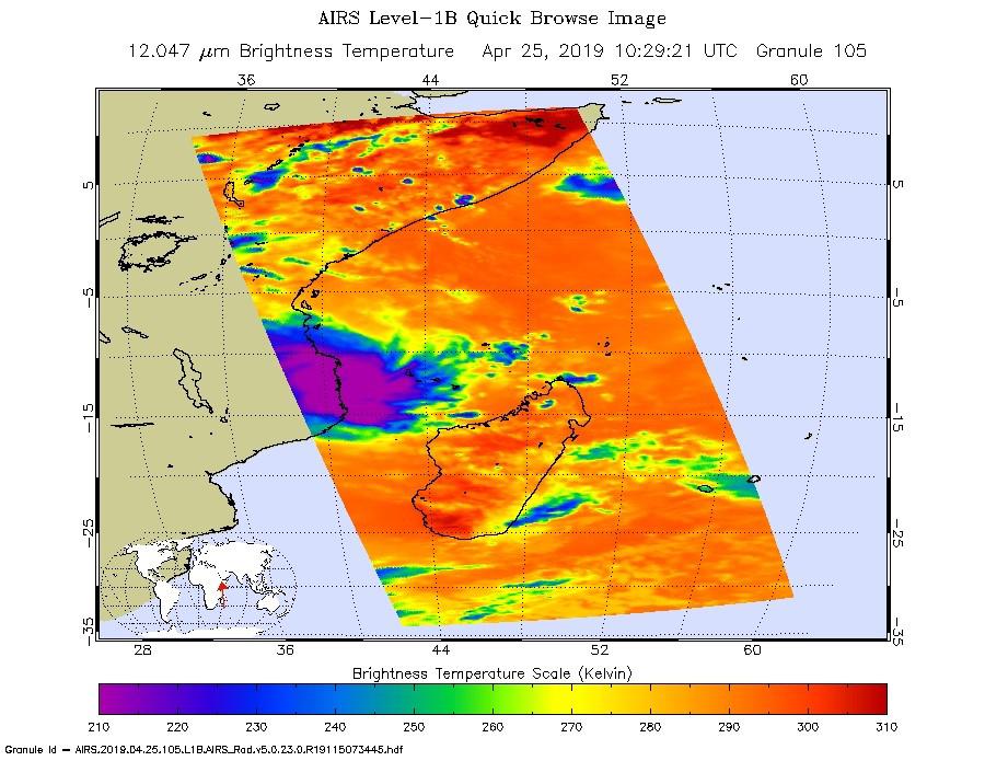
2019-04-25 | Earth |
Aqua |
AIRS |
900x695x3 |
|
|||||
|
|
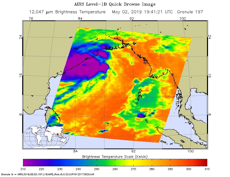
2019-05-02 | Earth |
Aqua |
AIRS |
900x695x3 |
|
|||||
|
|
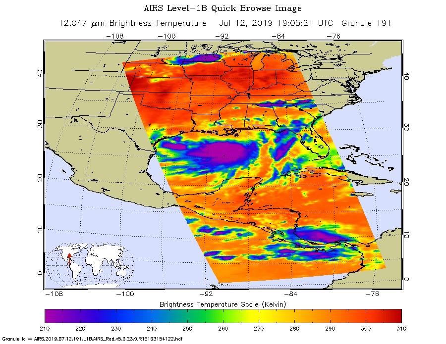
2019-07-12 | Earth |
Aqua |
AIRS |
900x695x3 |
|
|||||
|
|
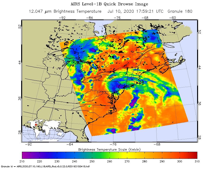
2020-07-10 | Earth |
Aqua |
AIRS |
900x695x3 |
|
|||||
|
|
2019-08-23 | Earth |
Aqua |
AIRS |
1400x787x3 |
|
|||||
|
|
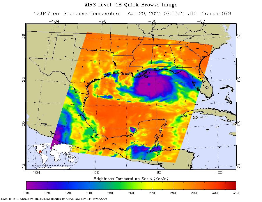
2019-08-29 | Earth |
Aqua |
AIRS |
900x695x3 |
|
|||||
|
|
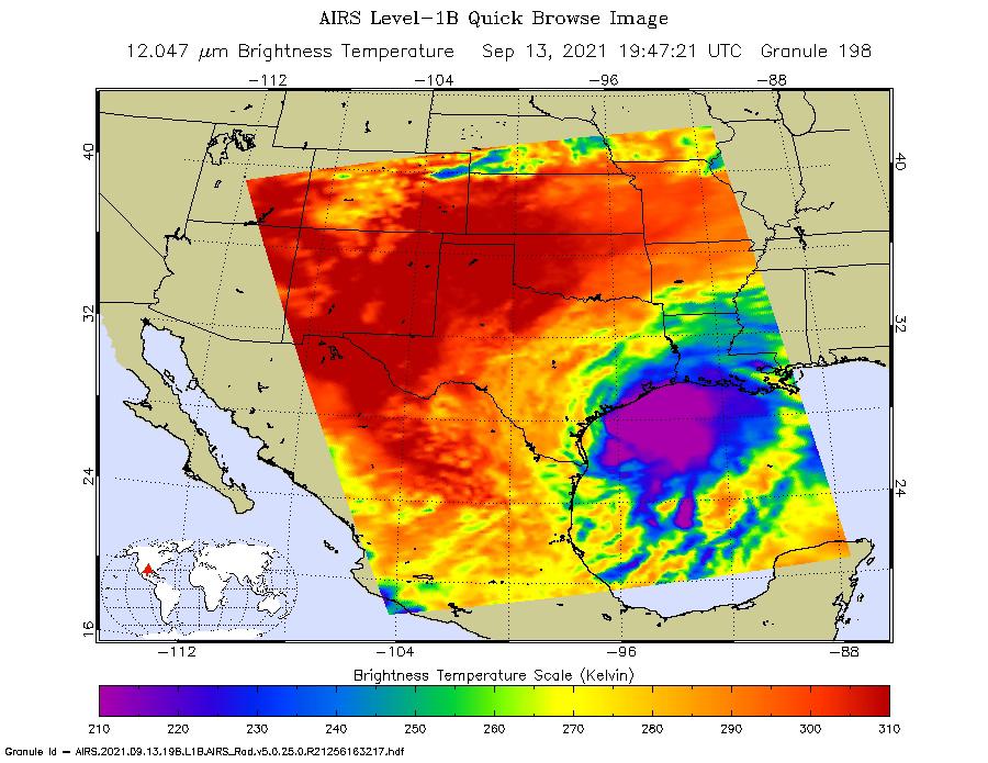
2019-09-05 | Earth |
Aqua |
AIRS |
3994x3194x3 |
|
|||||
|
|
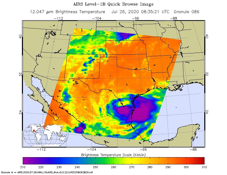
2020-07-27 | Earth |
Aqua |
AIRS |
900x695x3 |
|
|||||
|
|
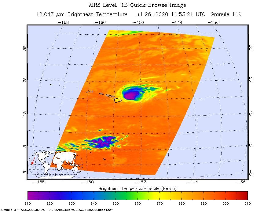
2020-07-27 | Earth |
Aqua |
AIRS |
900x695x3 |
|
|||||
|
|
2020-09-14 | Earth |
Aqua |
AIRS |
1600x900x3 |
|
|||||
|
|
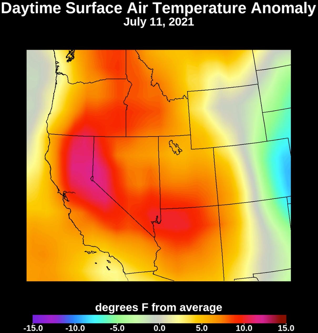
2021-07-08 | Earth |
Aqua |
AIRS |
1210x1266x3 |
|
|||||
|
|
2021-07-15 | Earth |
Aqua |
AIRS |
1210x1266x3 |
|
|||||
|
|
2021-08-31 | Earth |
Aqua |
AIRS |
900x695x3 |
|
|||||
|
|
2021-09-16 | Earth |
Aqua |
AIRS |
900x695x3 |
|
|||||
|
|
2022-01-04 | Earth |
Aqua |
AIRS |
1664x1740x3 |
|
|||||
|
|
2022-03-04 | Earth |
Aqua |
AIRS |
1400x1000x3 |
|
|||||
|
|
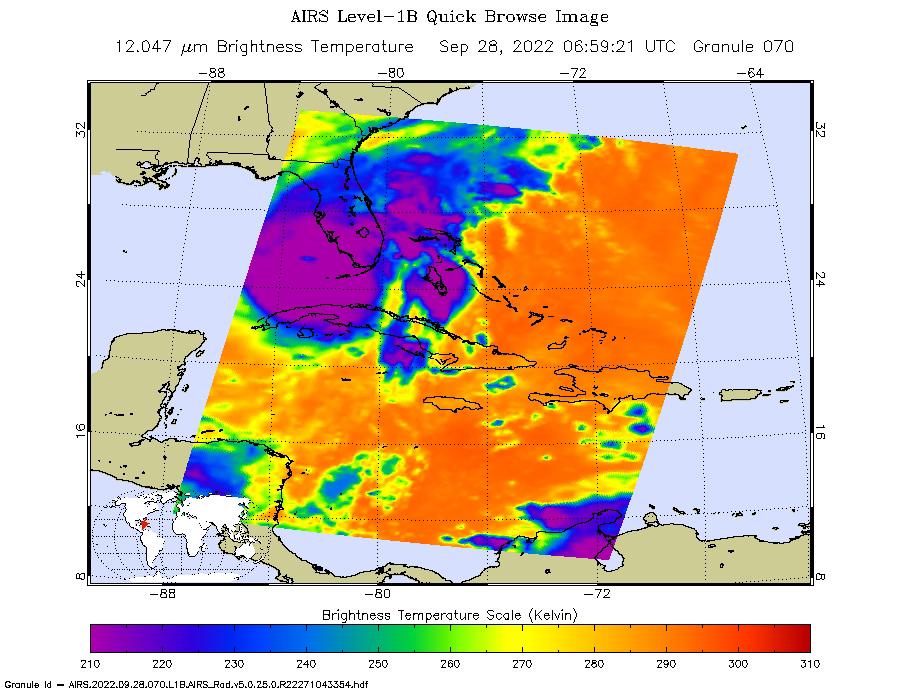
2022-09-08 | Earth |
Aqua |
AIRS |
900x695x3 |
|
|||||
|
|
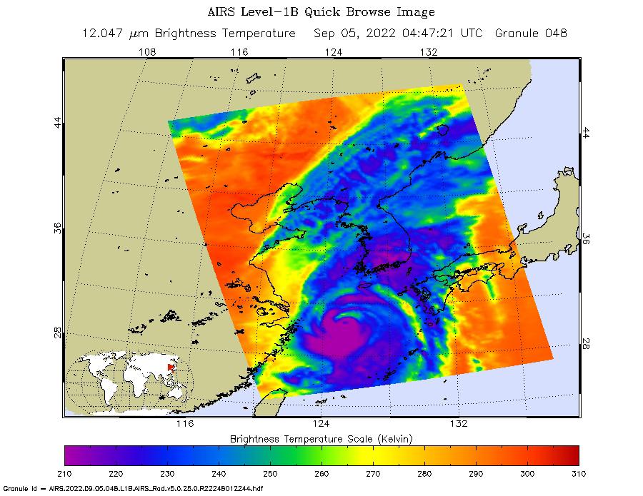
2022-09-28 | Earth |
Aqua |
AIRS |
900x695x3 |
|
|||||
|
|
2022-12-05 | Earth |
Aqua |
AIRS |
2702x3011x3 |
|
|||||
|
|
2023-01-10 | Earth |
Aqua |
AIRS |
1195x611x3 |
|
|||||
|
|
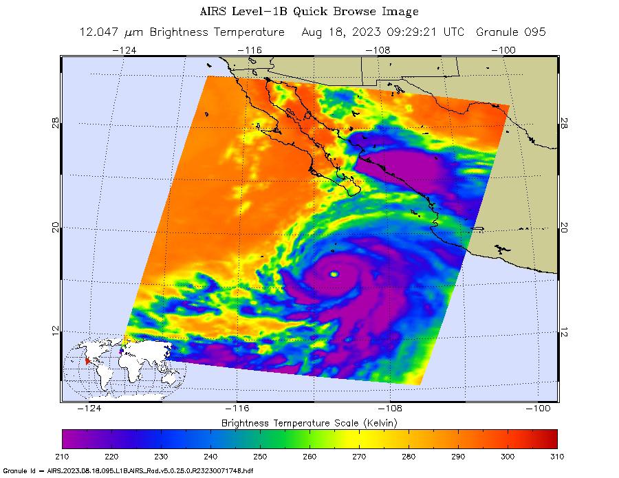
2023-08-18 | Earth |
Aqua |
AIRS |
900x695x3 |
|
|||||
|
|
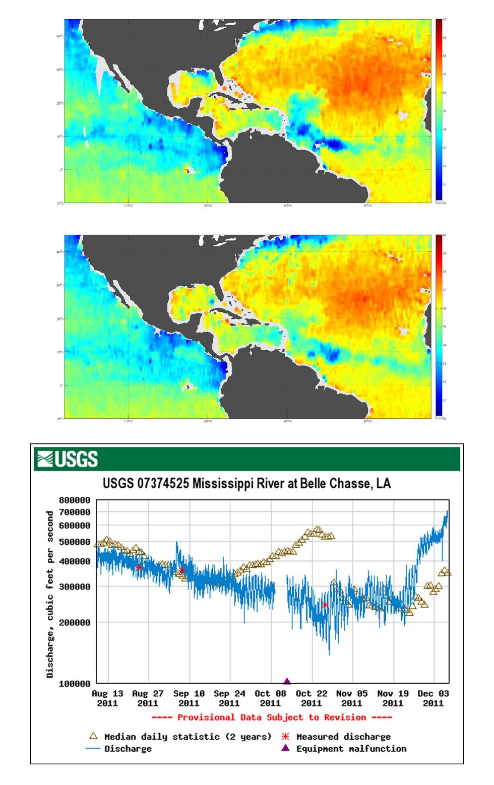
2011-09-22 | Earth |
Aquarius |
Aquarius |
2340x1024x3 |
|
|||||
|
|
2011-12-07 | Earth |
Aquarius |
Aquarius |
980x1558x3 |
|
|||||
|
|
2012-06-12 | Earth |
Aquarius |
Aquarius |
3300x2550x3 |
|
|||||
|
|
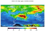
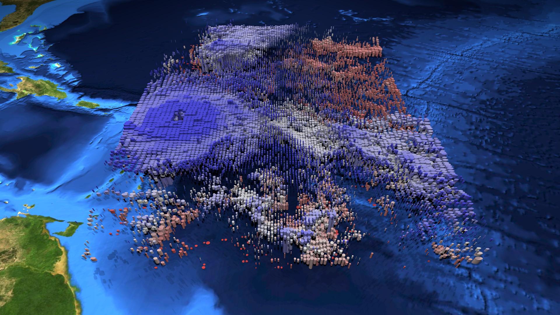
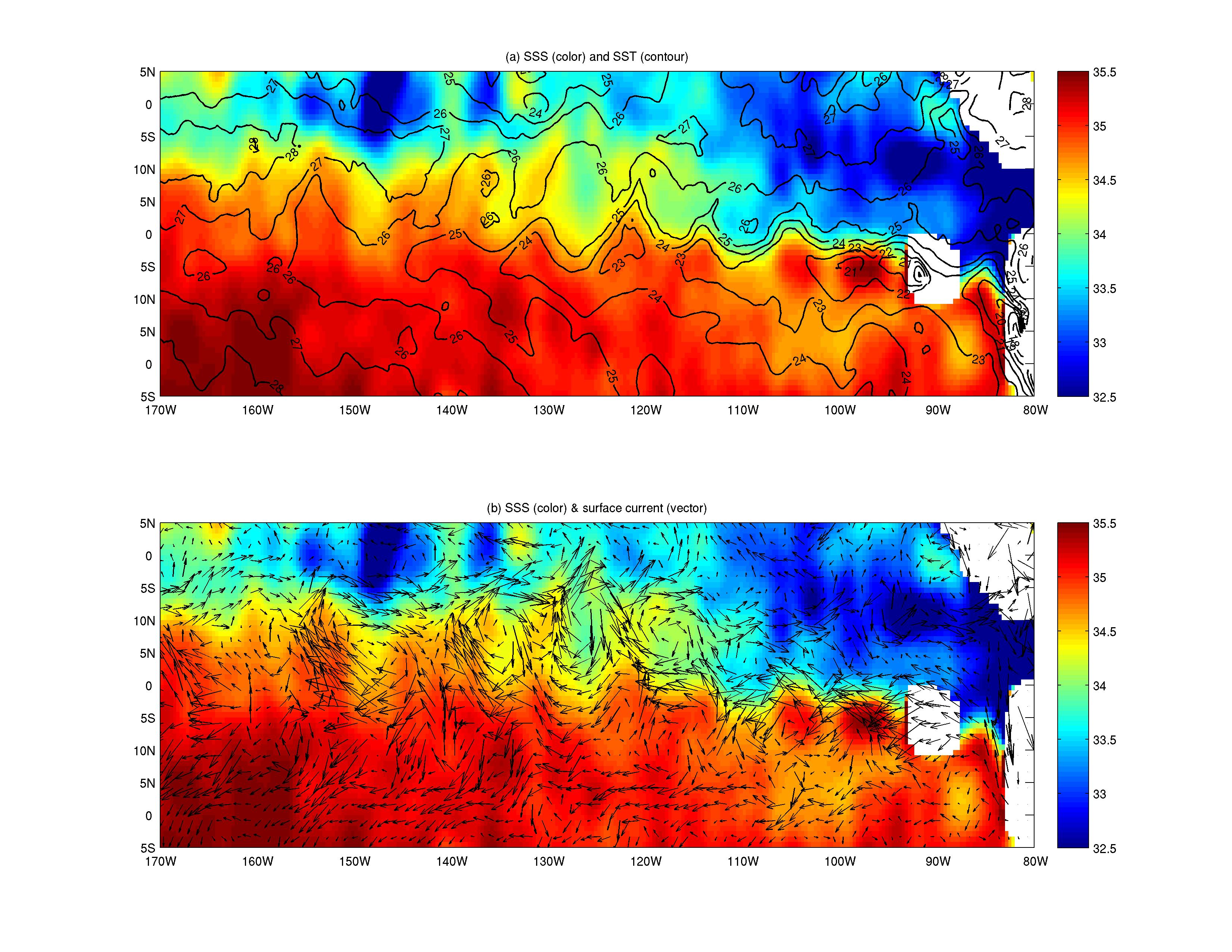
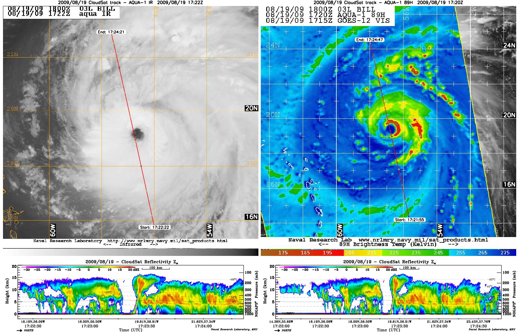
2009-08-21 | Earth |
CloudSat |
AMSR-E Cloud Profiling Radar (CPR) MODIS |
1728x1108x3 |
|
|||||
|
|
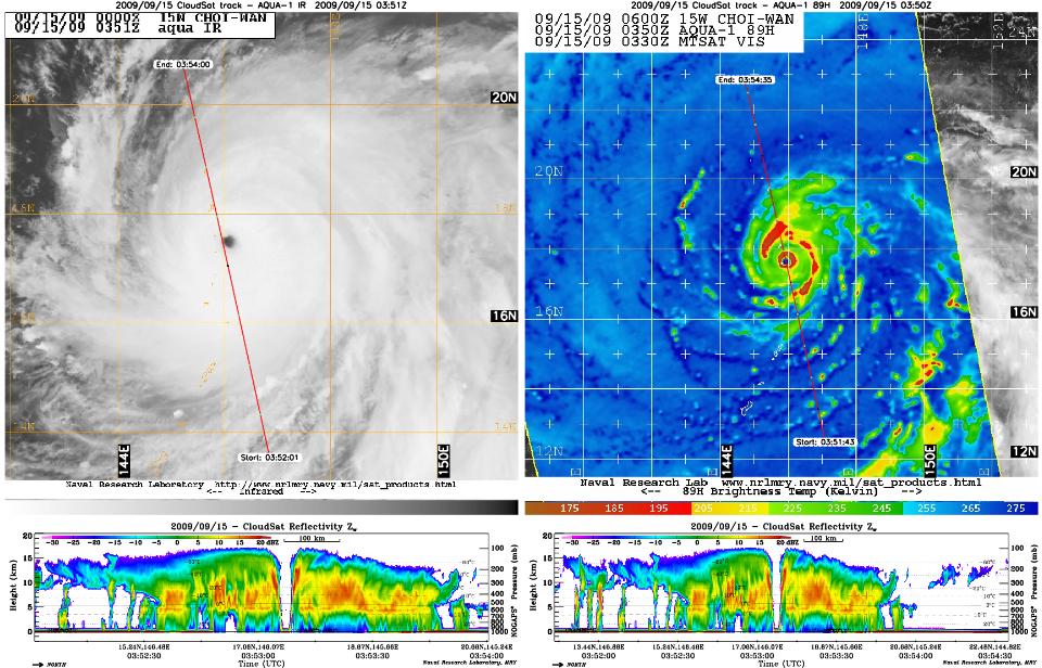
2009-09-15 | Earth |
CloudSat |
AMSR-E Cloud Profiling Radar (CPR) MODIS |
960x616x3 |
|
|||||

|
 |
|
|
|
|
|
|
|
|
|

|
| 1-100 | 101-200 | 201-300 | 301-400 | 401-500 | 501-600 | 601-700 | 701-800 | 801-900 | 901-1000 |
| Currently displaying images: 1001 - 1100 of 2277 |