|
Your search criteria found 251 images Mission |
| My List |
Addition Date | Target | Mission | Instrument |
Size
|

|
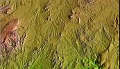
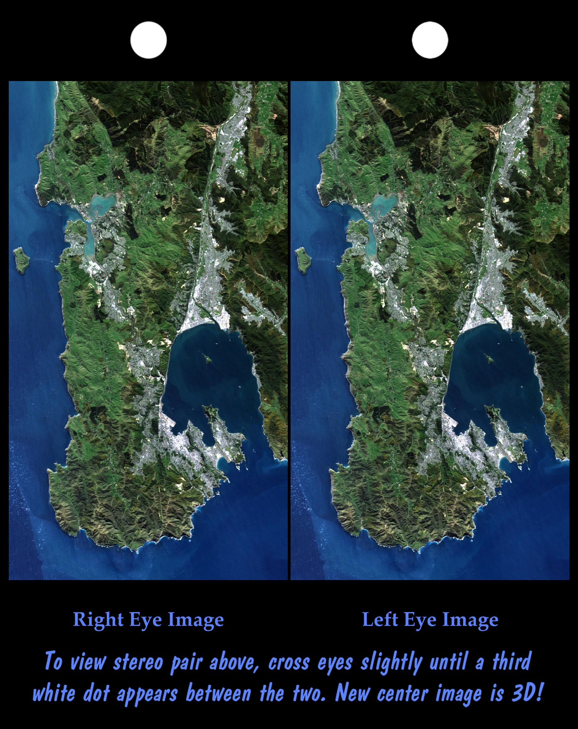
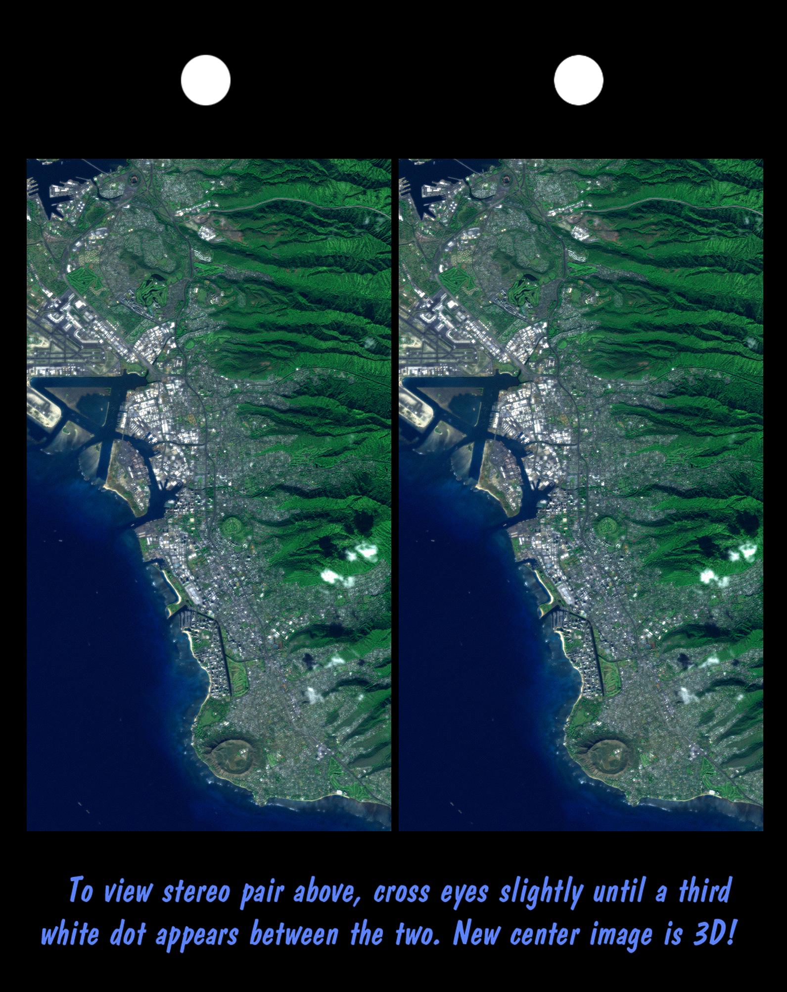
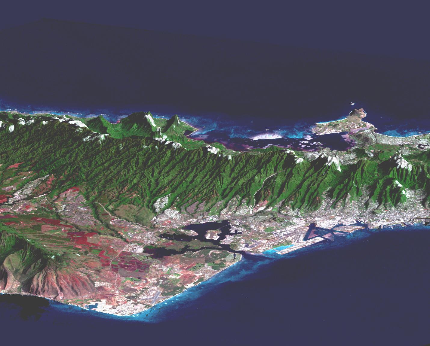
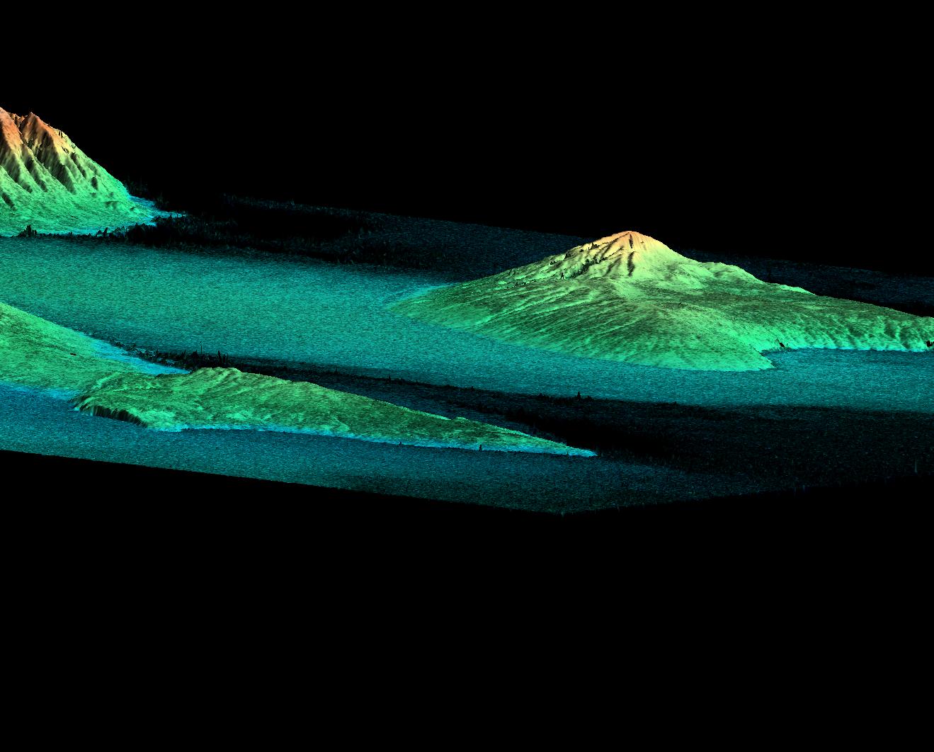
2000-05-11 | Earth |
Landsat Shuttle Radar Topography Mission (SRTM) |
C-Band Interferometric Radar Thematic Mapper |
2158x1540x3 |
|
|||||
|
|
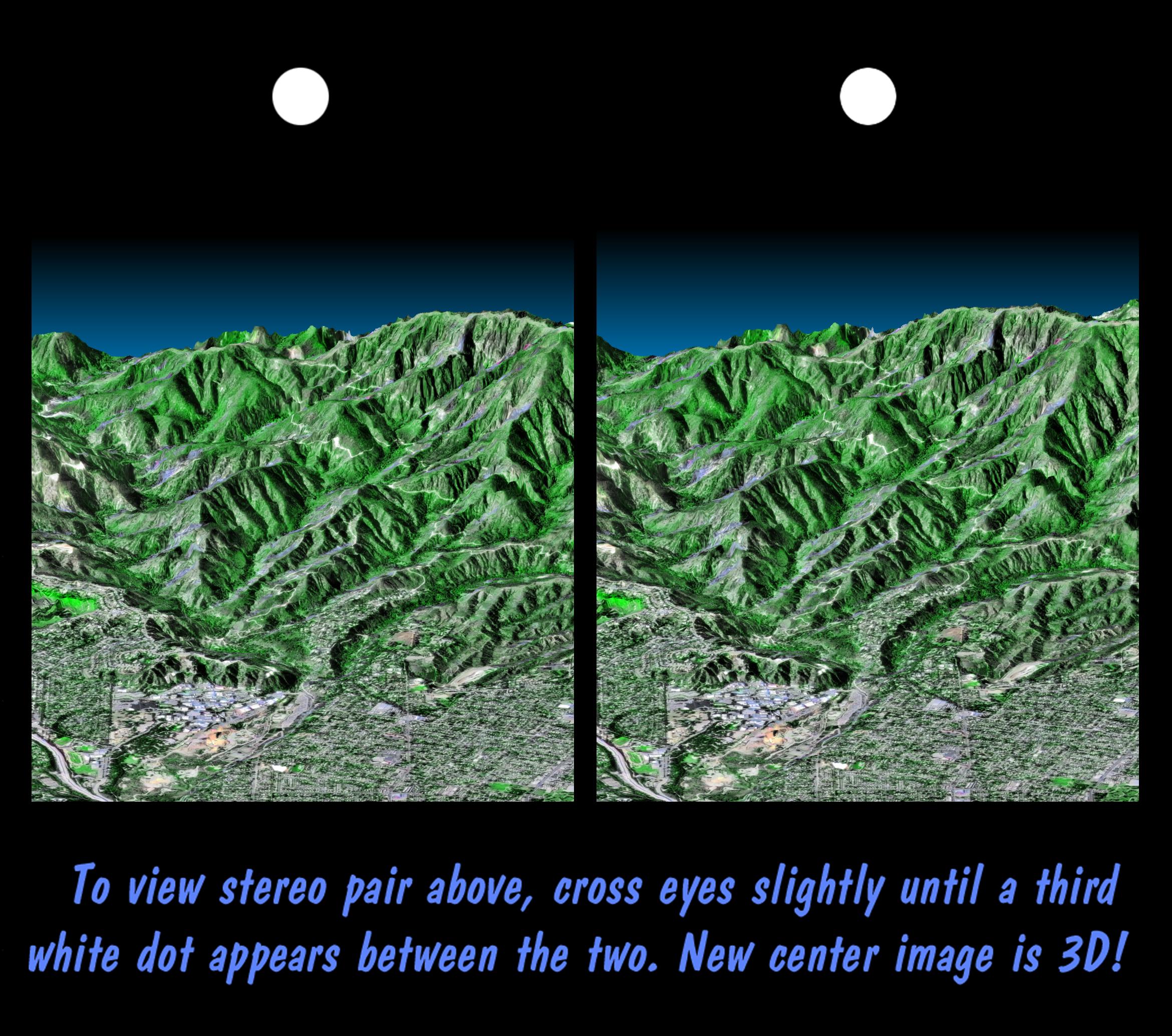
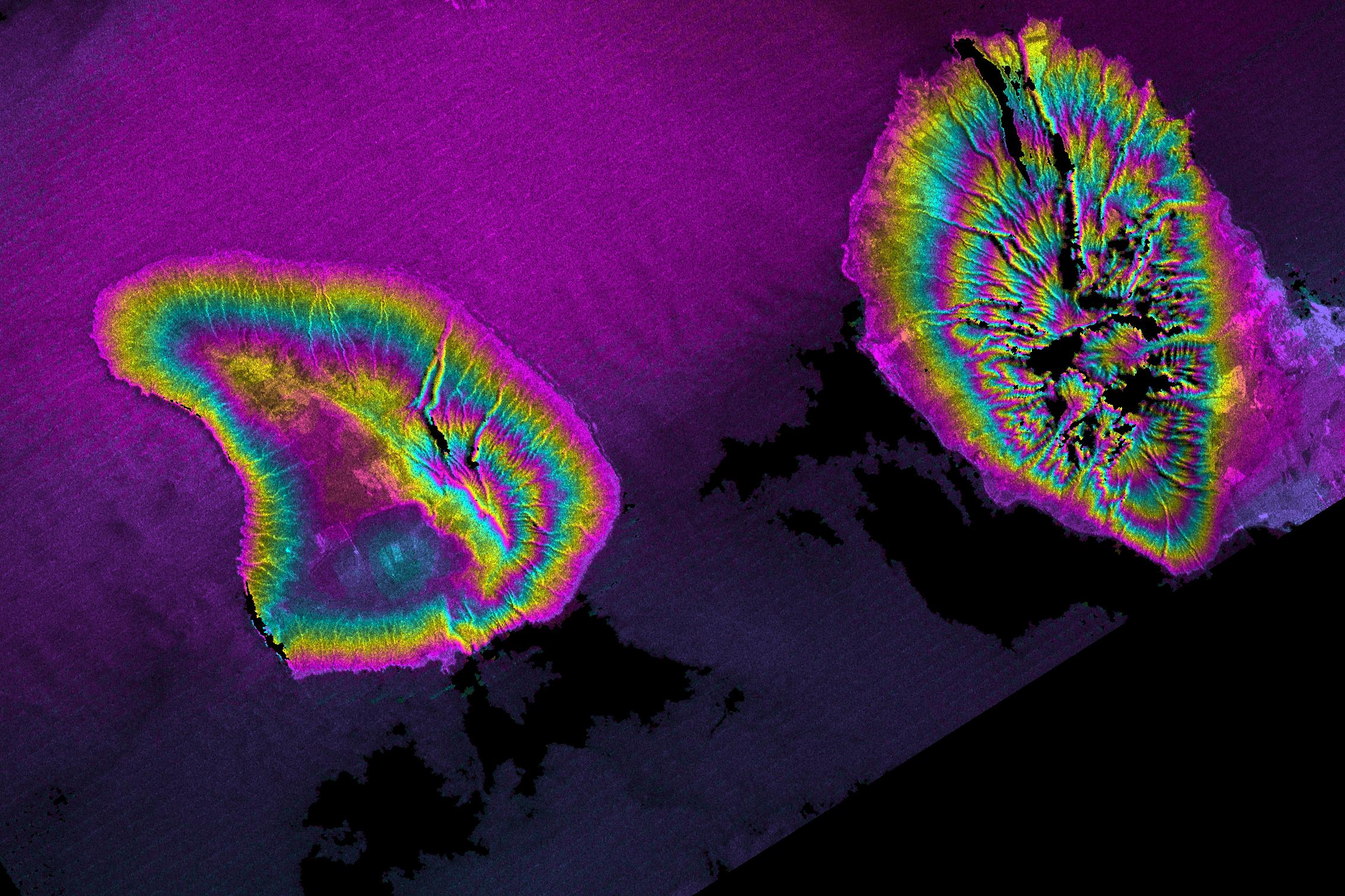
2000-05-11 | Earth |
Landsat Shuttle Radar Topography Mission (SRTM) |
C-Band Interferometric Radar Thematic Mapper |
1840x2320x3 |
|
|||||
|
|
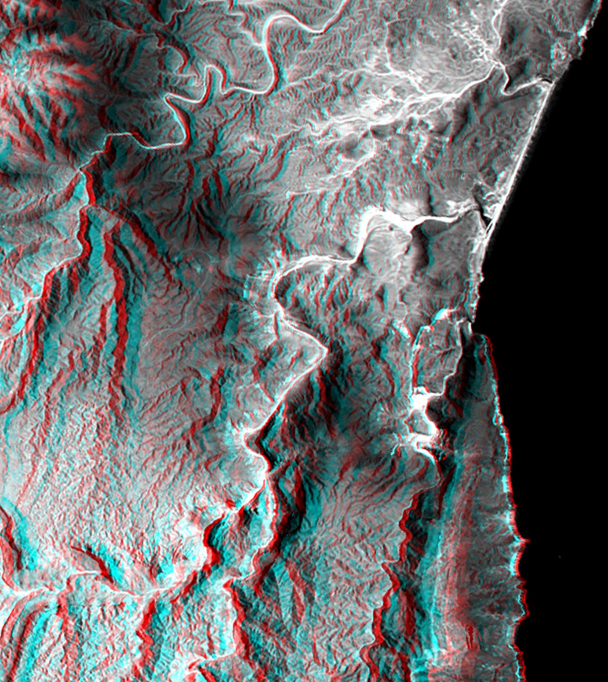
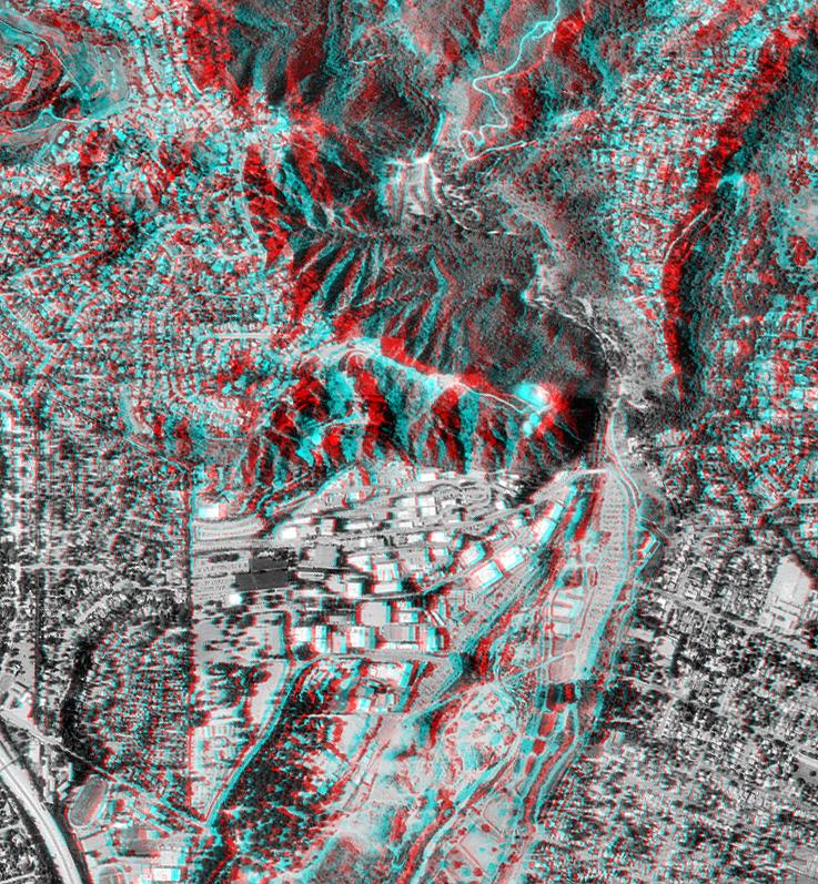
2000-04-27 | Earth |
Landsat Shuttle Radar Topography Mission (SRTM) |
C-Band Interferometric Radar Thematic Mapper |
1362x900x3 |

|
|||||
|
|
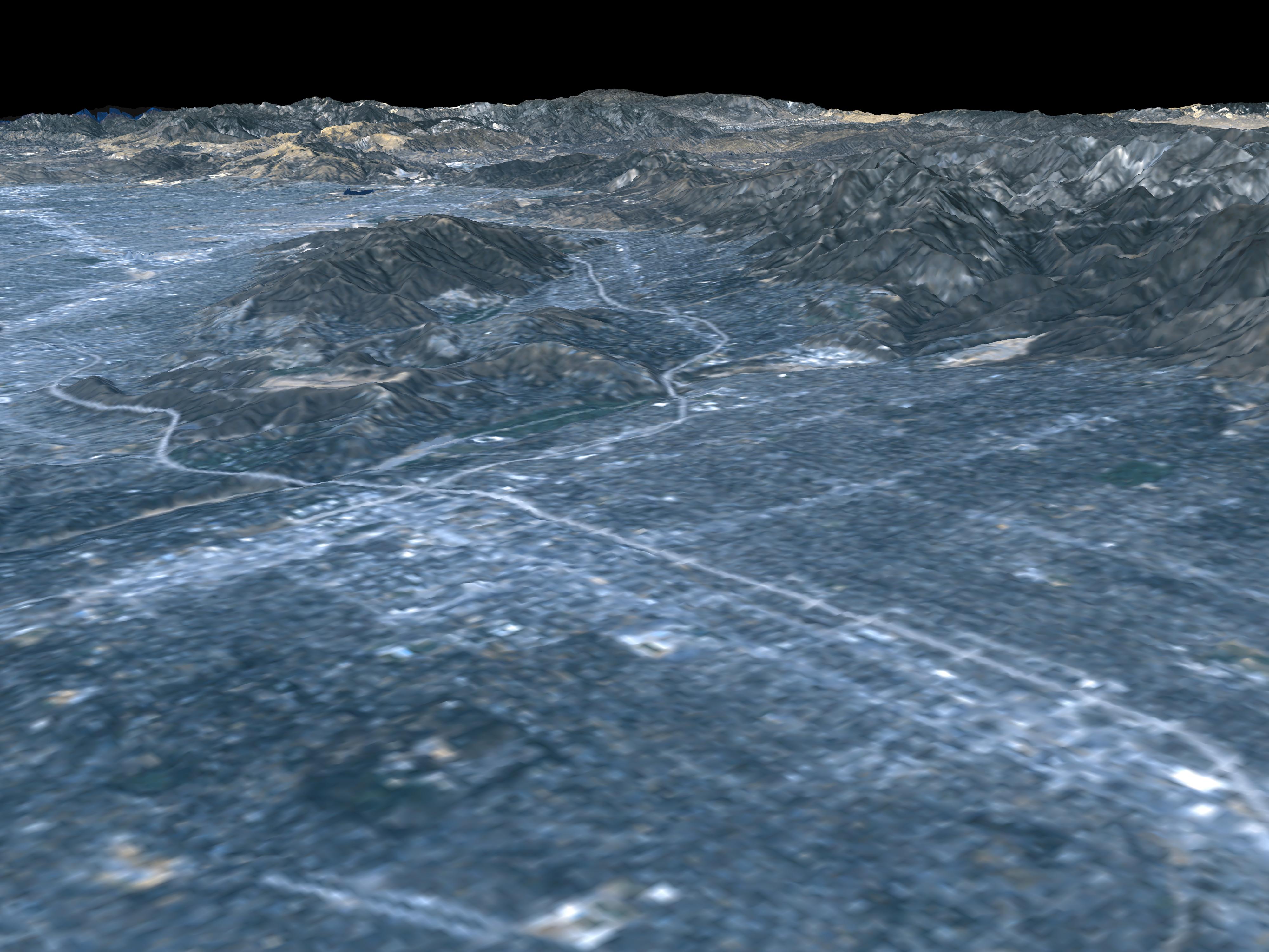
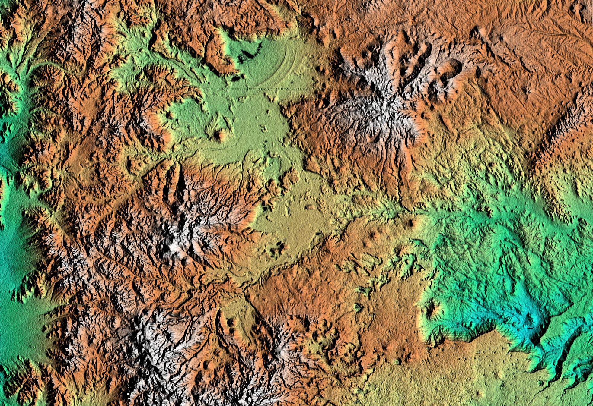
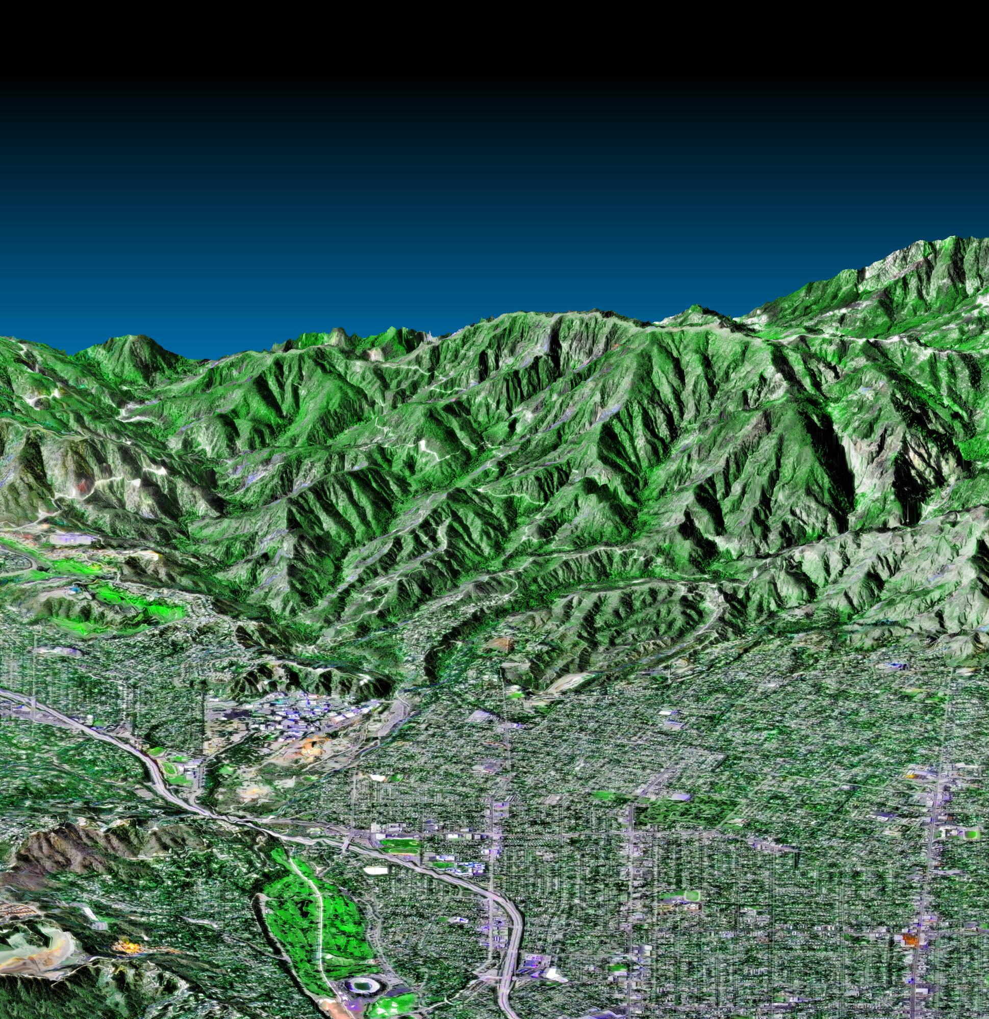
2000-04-20 | Earth |
Landsat Shuttle Radar Topography Mission (SRTM) |
C-Band Interferometric Radar Thematic Mapper |
4000x3000x3 |
|
|||||
|
|
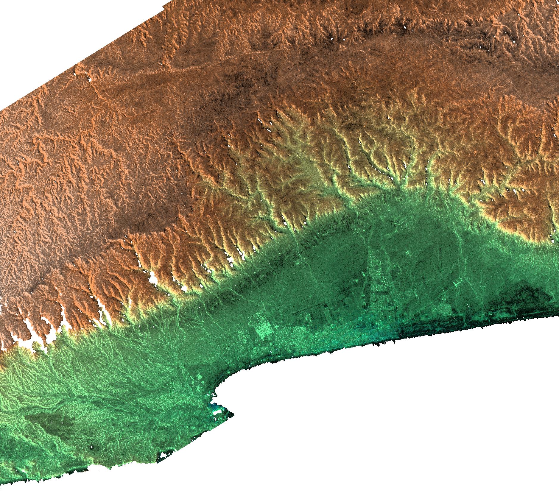
2000-04-20 | Earth |
Landsat Shuttle Radar Topography Mission (SRTM) |
C-Band Interferometric Radar Thematic Mapper |
4000x3000x3 |
|
|||||
|
|
2000-04-20 | Earth |
Landsat Shuttle Radar Topography Mission (SRTM) |
C-Band Interferometric Radar Thematic Mapper |
4000x3000x3 |
|
|||||
|
|
2000-04-13 | Earth |
Landsat Shuttle Radar Topography Mission (SRTM) |
C-Band Interferometric Radar Thematic Mapper |
839x651x3 |
|
|||||
|
|
2000-04-13 | Earth |
Landsat Shuttle Radar Topography Mission (SRTM) |
C-Band Interferometric Radar Thematic Mapper |
1428x2200x3 |

|
|||||
|
|
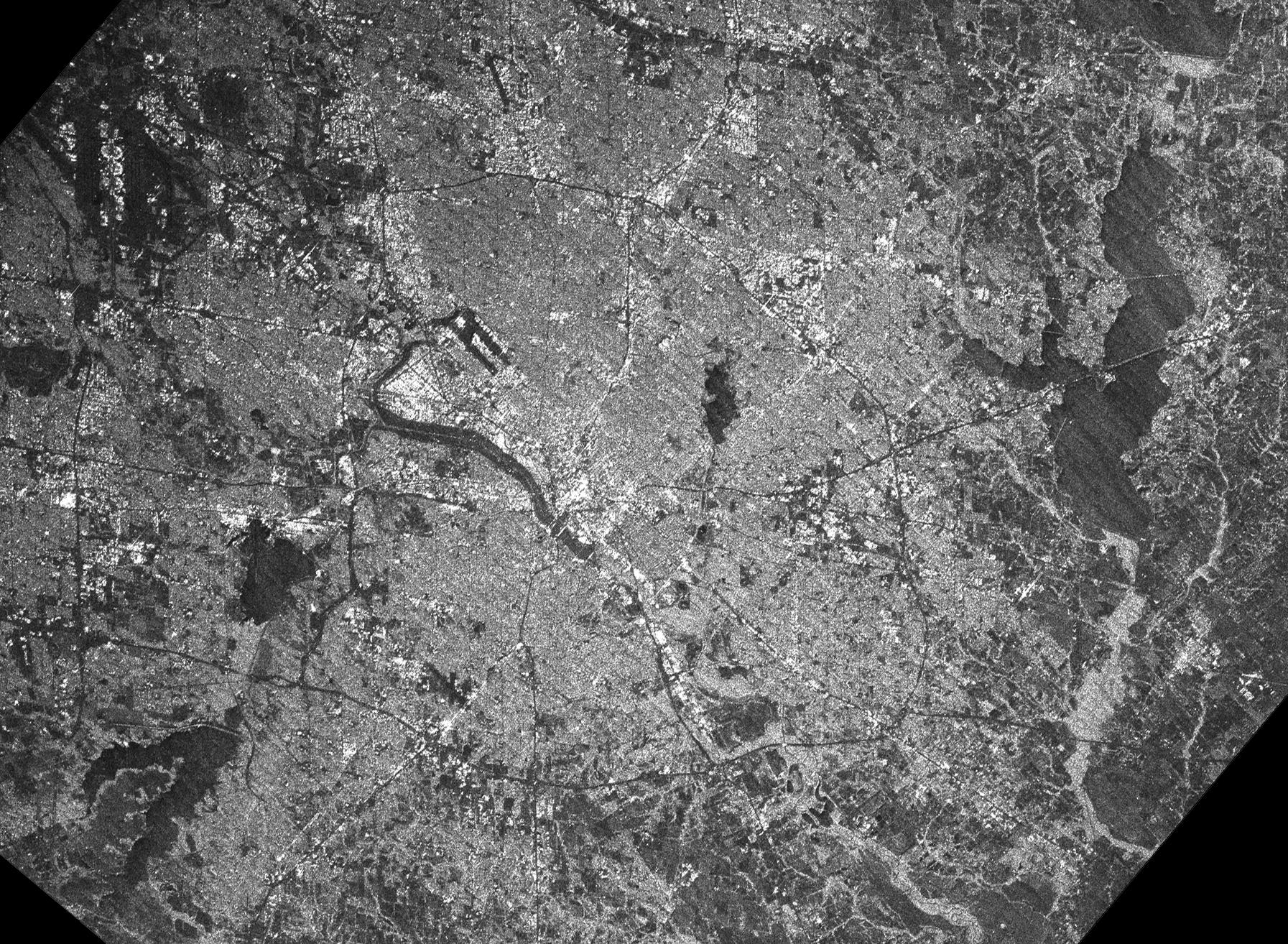
2000-04-06 | Earth |
Shuttle Radar Topography Mission (SRTM) |
C-Band Interferometric Radar |
2197x2400x3 |
|
|||||
|
|
2000-03-28 | Earth |
Shuttle Radar Topography Mission (SRTM) |
C-Band Interferometric Radar |
1176x710x3 |

|
|||||
|
|
2000-03-23 | Earth |
Landsat Shuttle Radar Topography Mission (SRTM) |
C-Band Interferometric Radar Thematic Mapper |
2220x994x3 |

|
|||||
|
|
2000-03-16 | Earth |
Landsat Shuttle Radar Topography Mission (SRTM) |
C-Band Interferometric Radar Thematic Mapper |
4000x3000x3 |

|
|||||
|
|
2000-03-13 | Earth |
Shuttle Radar Topography Mission (SRTM) |
C-Band Interferometric Radar |
2496x2447x3 |
|
|||||
|
|
2000-03-10 | Earth |
Landsat Shuttle Radar Topography Mission (SRTM) |
C-Band Interferometric Radar Thematic Mapper |
1591x2005x3 |
|
|||||
|
|
2000-03-10 | Earth |
Landsat Shuttle Radar Topography Mission (SRTM) |
C-Band Interferometric Radar Thematic Mapper |
2340x2069x3 |
|
|||||
|
|
2000-03-10 | Earth |
Landsat Shuttle Radar Topography Mission (SRTM) |
C-Band Interferometric Radar Thematic Mapper |
1218x1366x3 |
|
|||||
|
|
2000-03-10 | Earth |
Shuttle Radar Topography Mission (SRTM) |
C-Band Interferometric Radar |
2482x661x3 |
|
|||||
|
|
2000-02-21 | Earth |
Landsat Shuttle Radar Topography Mission (SRTM) |
C-Band Interferometric Radar Thematic Mapper |
4000x3000x3 |
|
|||||
|
|
2000-02-21 | Earth |
Landsat Shuttle Radar Topography Mission (SRTM) |
C-Band Interferometric Radar Thematic Mapper |
4000x3000x3 |
|
|||||
|
|
2000-02-21 | Earth |
Shuttle Radar Topography Mission (SRTM) |
C-Band Interferometric Radar |
1603x1181x3 |

|
|||||
|
|
2000-02-21 | Earth |
Shuttle Radar Topography Mission (SRTM) |
C-Band Interferometric Radar |
1929x1800x3 |
|
|||||
|
|
2000-02-21 | Earth |
Shuttle Radar Topography Mission (SRTM) |
C-Band Interferometric Radar |
1252x2352x1 |
|
|||||
|
|
2000-02-20 | Earth |
Shuttle Radar Topography Mission (SRTM) |
C-Band Interferometric Radar |
1634x1072x3 |

|
|||||
|
|
2000-02-20 | Earth |
Landsat Shuttle Radar Topography Mission (SRTM) |
C-Band Interferometric Radar Thematic Mapper |
940x658x3 |
|
|||||
|
|
2000-02-20 | Earth |
Landsat Shuttle Radar Topography Mission (SRTM) |
C-Band Interferometric Radar Thematic Mapper |
1430x1152x3 |

|
|||||
|
|
2000-02-20 | Earth |
Shuttle Radar Topography Mission (SRTM) |
C-Band Interferometric Radar |
1965x1347x3 |
|
|||||
|
|
2000-02-19 | Earth |
Shuttle Radar Topography Mission (SRTM) |
C-Band Interferometric Radar |
1793x1314x1 |
|
|||||
|
|
2000-02-19 | Earth |
Shuttle Radar Topography Mission (SRTM) |
C-Band Interferometric Radar |
1877x1676x3 |
|
|||||
|
|
2000-02-19 | Earth |
Shuttle Radar Topography Mission (SRTM) |
C-Band Interferometric Radar |
1319x1062x3 |

|
|||||
|
|
2000-02-19 | Earth |
Shuttle Radar Topography Mission (SRTM) |
C-Band Interferometric Radar |
2273x1515x3 |
|
|||||
|
|
2000-02-18 | Earth |
Shuttle Radar Topography Mission (SRTM) |
C-Band Interferometric Radar |
737x797x3 |

|
|||||
|
|
2000-02-18 | Earth |
Shuttle Radar Topography Mission (SRTM) |
C-Band Interferometric Radar |
1856x1852x3 |
|
|||||
|
|
2000-02-18 | Earth |
Landsat Shuttle Radar Topography Mission (SRTM) |
C-Band Interferometric Radar Thematic Mapper |
1939x1999x3 |

|
|||||
|
|
2000-02-18 | Earth |
Landsat Shuttle Radar Topography Mission (SRTM) |
C-Band Interferometric Radar Thematic Mapper |
1363x2200x3 |

|
|||||
|
|
2000-02-17 | Earth |
Shuttle Radar Topography Mission (SRTM) |
C-Band Interferometric Radar |
1059x722x3 |
|
|||||
|
|
2000-02-17 | Earth |
Shuttle Radar Topography Mission (SRTM) |
C-Band Interferometric Radar |
1228x1093x3 |
|
|||||
|
|
2000-02-17 | Earth |
Shuttle Radar Topography Mission (SRTM) |
C-Band Interferometric Radar |
1228x1093x3 |

|
|||||
|
|
2000-02-17 | Earth |
Shuttle Radar Topography Mission (SRTM) |
C-Band Interferometric Radar |
1357x982x3 |
|
|||||
|
|
2000-02-17 | Earth |
Shuttle Radar Topography Mission (SRTM) |
C-Band Interferometric Radar |
1749x4787x3 |
|
|
|||||
|
|
2000-02-17 | Earth |
Shuttle Radar Topography Mission (SRTM) |
C-Band Interferometric Radar |
1749x4787x3 |
|
|
|||||
|
|
2000-02-16 | Earth |
Shuttle Radar Topography Mission (SRTM) |
C-Band Interferometric Radar |
1881x2650x3 |
|
|||||
|
|
2000-02-16 | Earth |
Landsat Shuttle Radar Topography Mission (SRTM) |
C-Band Interferometric Radar Thematic Mapper |
1412x1588x3 |
|
|||||
|
|
2000-02-16 | Earth |
Shuttle Radar Topography Mission (SRTM) |
C-Band Interferometric Radar |
2384x3021x3 |
|
|||||
|
|
2000-02-16 | Earth |
Shuttle Radar Topography Mission (SRTM) |
C-Band Interferometric Radar |
1383x962x3 |

|
|||||
|
|
2000-02-15 | Earth |
Shuttle Radar Topography Mission (SRTM) |
C-Band Interferometric Radar |
2400x2938x3 |

|
|||||
|
|
2000-02-15 | Earth |
Shuttle Radar Topography Mission (SRTM) |
C-Band Interferometric Radar |
2062x1194x3 |

|
|||||
|
|
2000-02-15 | Earth |
Shuttle Radar Topography Mission (SRTM) |
C-Band Interferometric Radar |
2056x1194x3 |
|
|||||
|
|
2000-02-14 | Earth |
Shuttle Radar Topography Mission (SRTM) |
C-Band Interferometric Radar |
2257x2887x1 |

|
|||||
|
|
2000-02-14 | Earth |
Landsat Shuttle Radar Topography Mission (SRTM) |
C-Band Interferometric Radar Thematic Mapper |
3835x904x3 |

|
|||||
|
|
2000-02-14 | Earth |
Shuttle Radar Topography Mission (SRTM) |
C-Band Interferometric Radar |
1890x2270x1 |
|
|||||
|
|
2000-02-14 | Earth |
Shuttle Radar Topography Mission (SRTM) |
C-Band Interferometric Radar |
2400x2781x3 |
|
|||||

|
 |
|
 |
|
| 1-100 | 101-200 | 201-300 |
| Currently displaying images: 201 - 251 of 251 |