|
Your search criteria found 251 images Mission |
| My List |
Addition Date | Target | Mission | Instrument |
Size
|

|
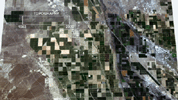
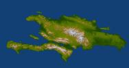
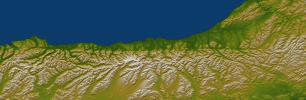
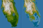
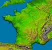
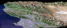
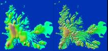
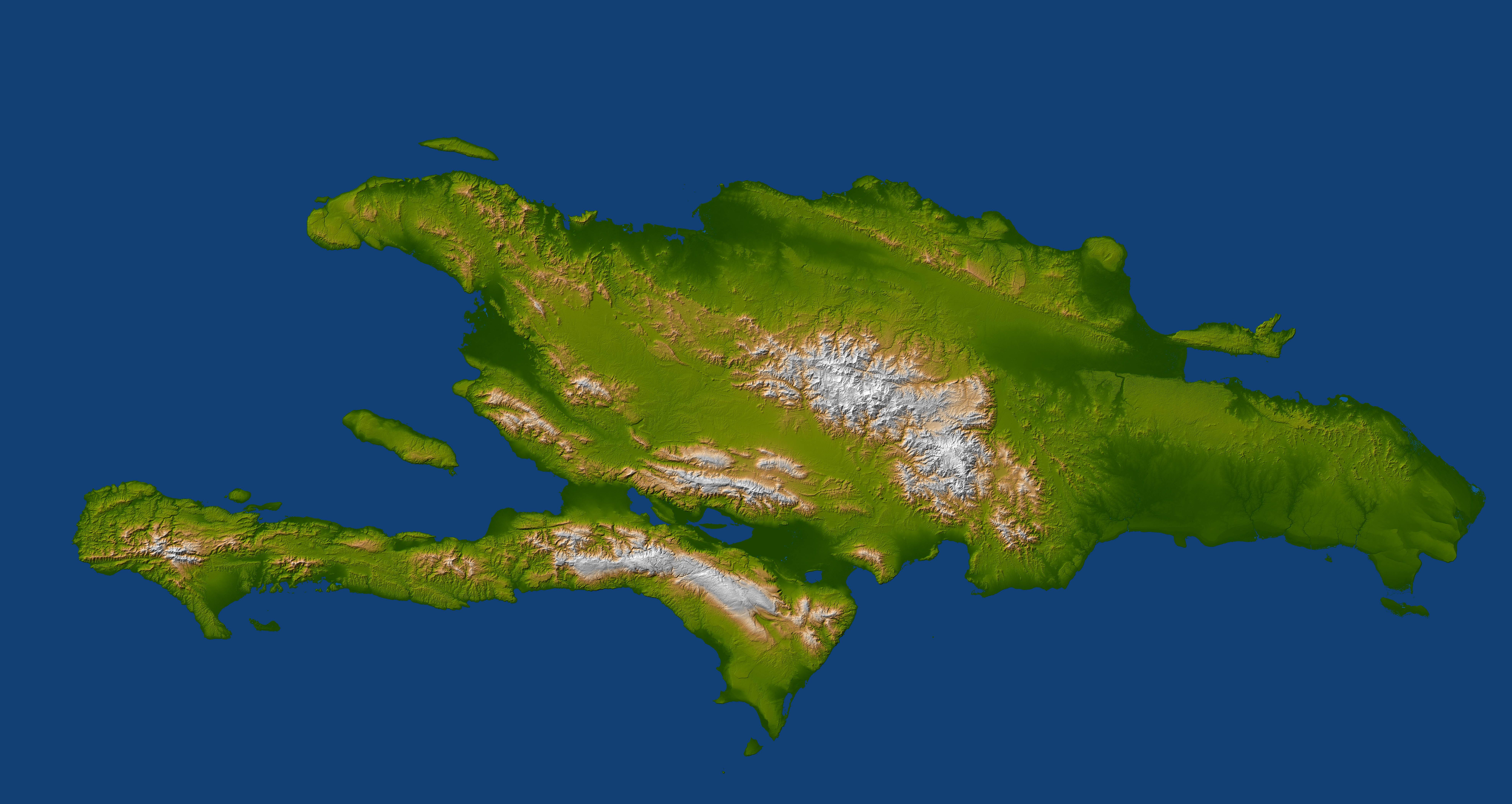
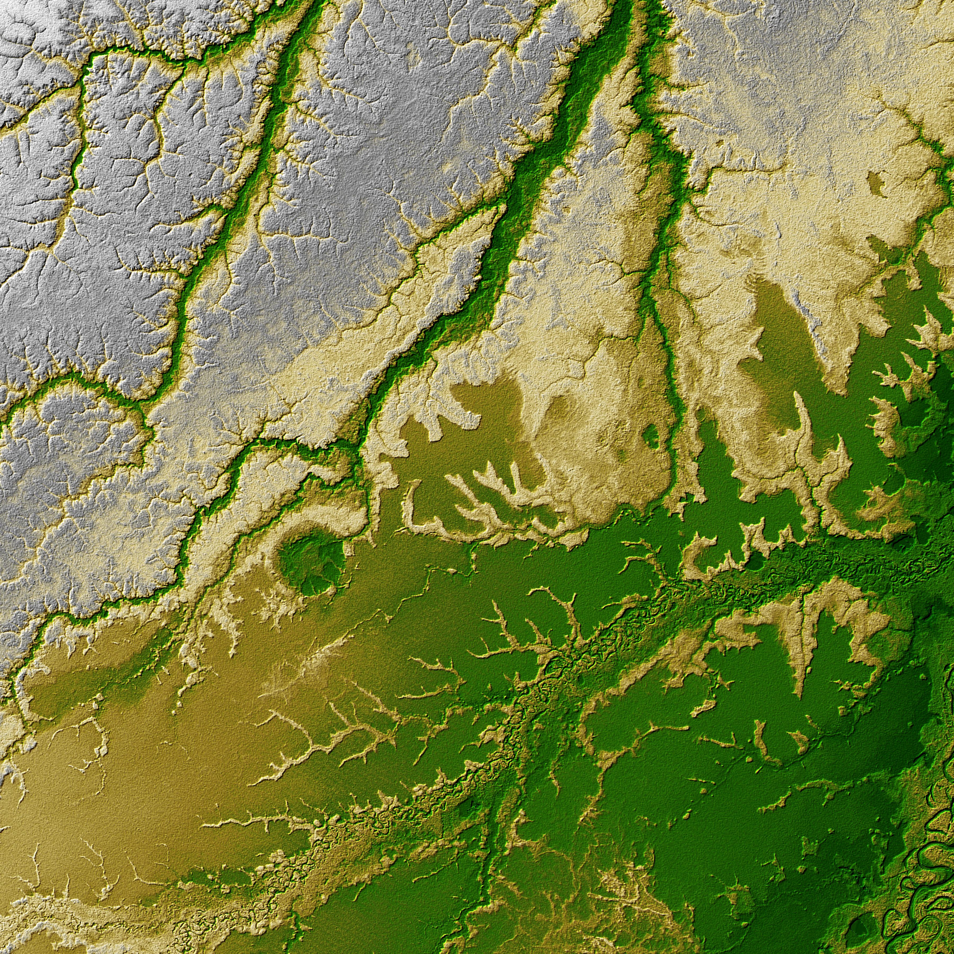
2014-09-24 | Earth |
Shuttle Radar Topography Mission (SRTM) |
C-Band Radar X-Band Radar |
1074x651x1 |

|
|||||
|
|
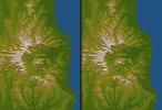
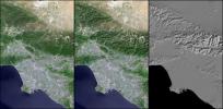
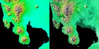
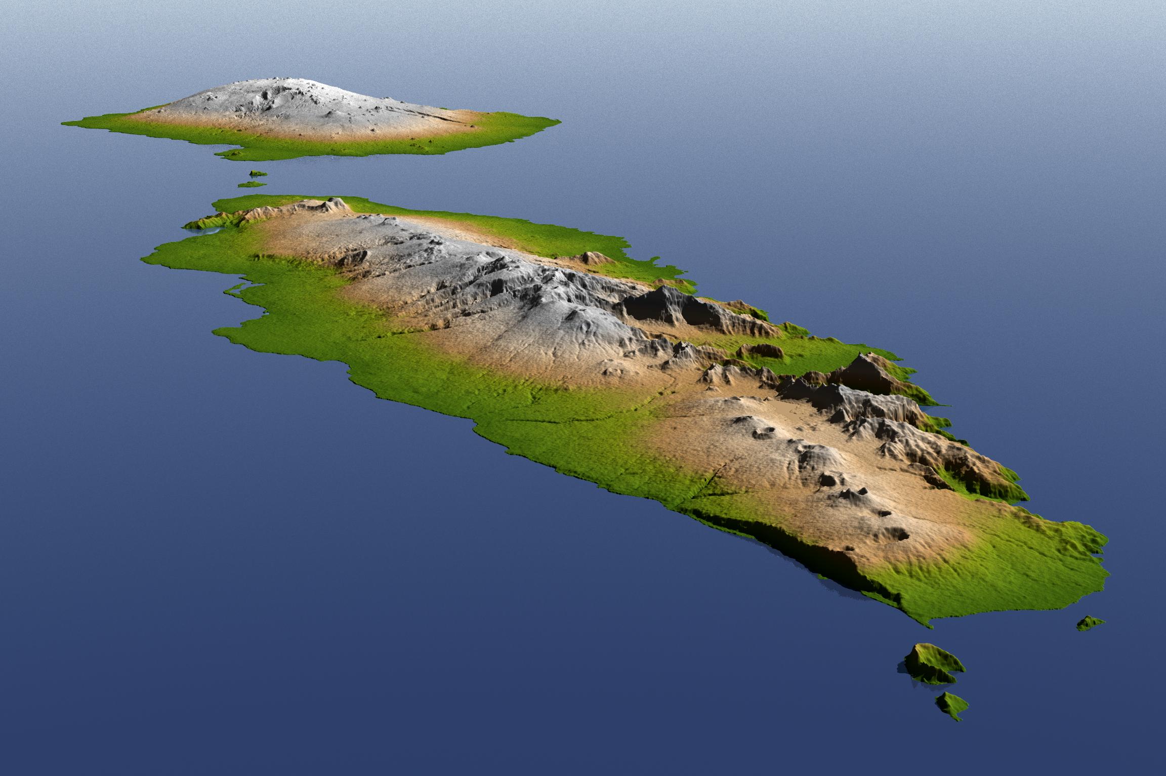
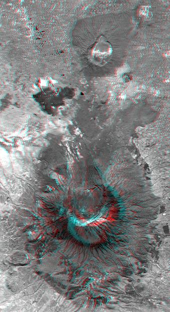
2012-02-06 | Earth |
Shuttle Radar Topography Mission (SRTM) |
1024x576x3 | |
|
|||||
|
|
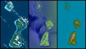
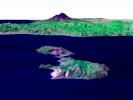
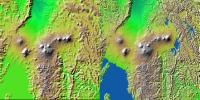
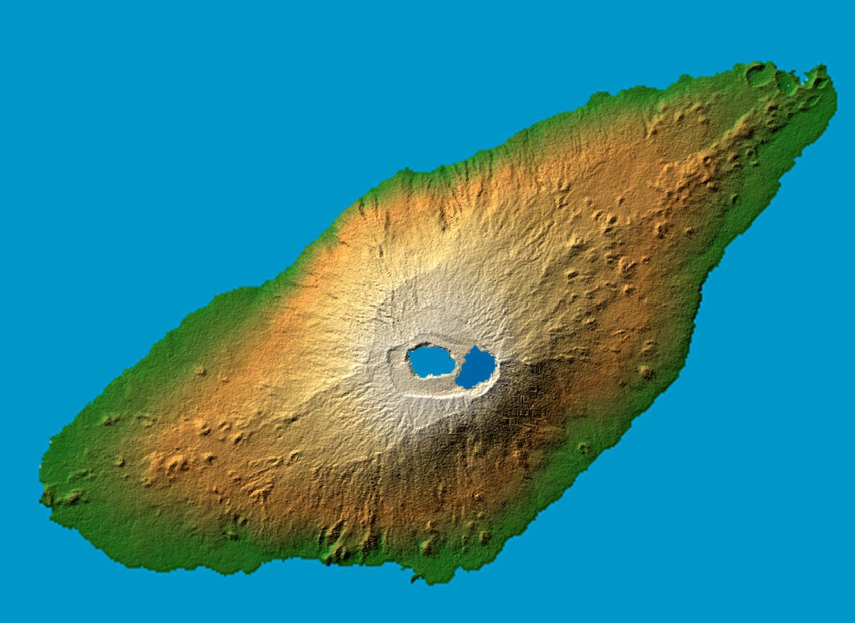
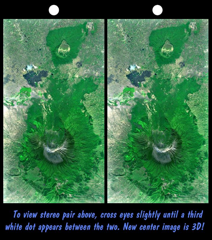
2011-03-11 | Earth |
Shuttle Radar Topography Mission (SRTM) |
C-Band Radar X-Band Radar |
6330x5879x3 |

|
|||||
|
|
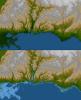
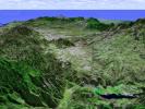
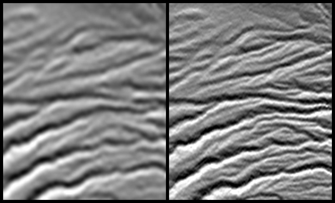
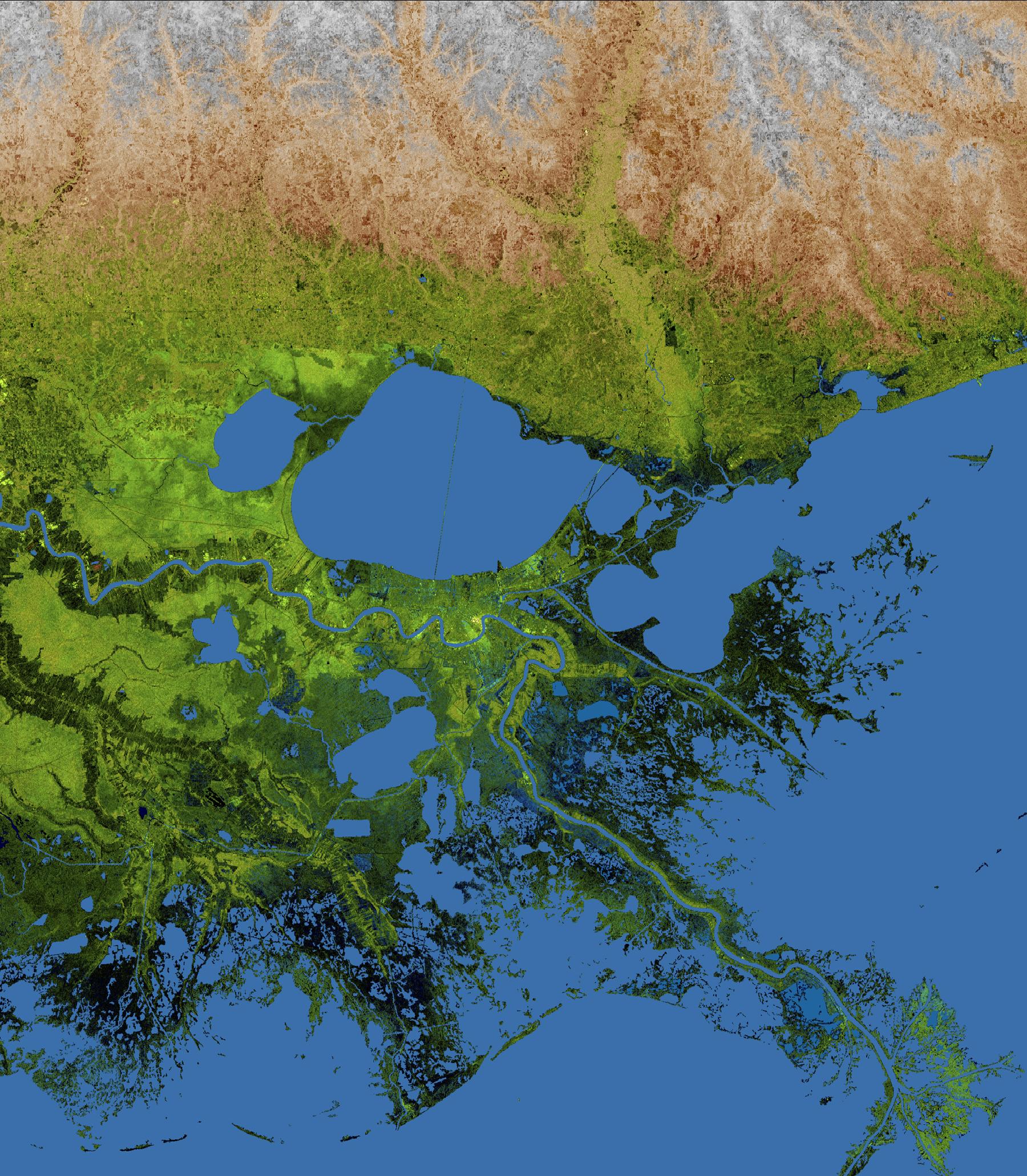
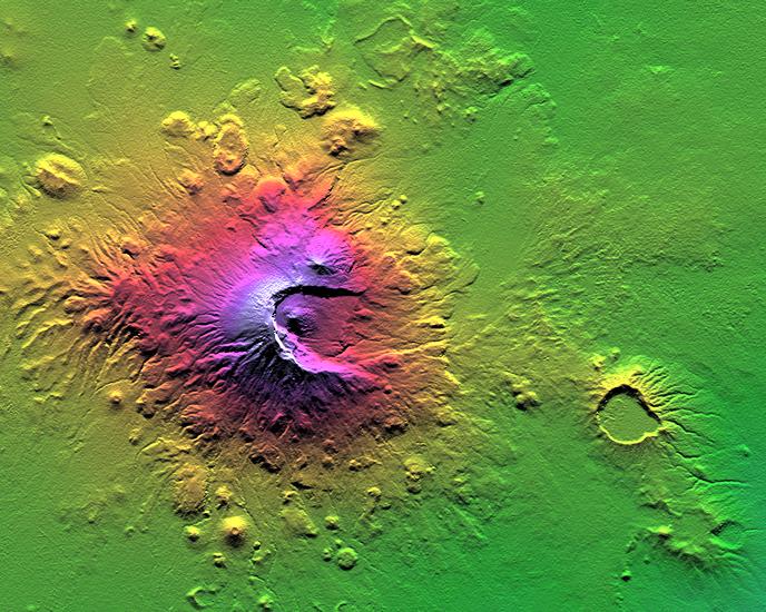
2010-04-05 | Earth |
Shuttle Radar Topography Mission (SRTM) |
C-Band Radar X-Band Radar |
5793x6796x3 |

|
|||||
|
|
2010-04-05 | Earth |
Shuttle Radar Topography Mission (SRTM) |
C-Band Radar X-Band Radar |
1152x792x3 |
|
|||||
|
|
2010-03-04 | Earth |
Shuttle Radar Topography Mission (SRTM) |
C-Band Radar X-Band Radar |
1168x806x3 |
|
|||||
|
|
2010-03-04 | Earth |
Shuttle Radar Topography Mission (SRTM) |
C-Band Radar X-Band Radar |
4652x5365x3 |

|
|||||
|
|
2010-01-14 | Earth |
Shuttle Radar Topography Mission (SRTM) |
C-Band Radar X-Band Radar |
2715x1522x3 |

|
|||||
|
|
2010-01-14 | Earth |
Shuttle Radar Topography Mission (SRTM) |
C-Band Radar X-Band Radar |
6001x1201x3 |
|
|||||
|
|
2010-01-14 | Earth |
Shuttle Radar Topography Mission (SRTM) |
C-Band Radar X-Band Radar |
7900x4200x3 |
|
|||||
|
|
2009-10-01 | Earth |
Shuttle Radar Topography Mission (SRTM) |
C-Band Radar X-Band Radar |
2304x1533x3 |

|
|||||
|
|
2009-10-01 | Earth |
Shuttle Radar Topography Mission (SRTM) |
C-Band Radar X-Band Radar |
2279x1486x3 |

|
|||||
|
|
2009-04-01 | Earth |
Shuttle Radar Topography Mission (SRTM) |
C-Band Radar |
1250x1440x1 |

|
|||||
|
|
2006-01-25 | Earth |
Shuttle Radar Topography Mission (SRTM) |
C-Band Imaging Radar X-Band Radar |
1586x1965x3 |
|
|||||
|
|
2005-12-09 | Earth |
Shuttle Radar Topography Mission (SRTM) |
C-Band Radar X-Band Radar |
1234x899x3 |
|
|||||
|
|
2005-09-22 | Earth |
Shuttle Radar Topography Mission (SRTM) |
C-Band Imaging Radar X-Band Imaging Radar |
3621x1525x3 |
|
|||||
|
|
2005-08-29 | Earth |
Shuttle Radar Topography Mission (SRTM) |
C-Band Imaging Radar X-Band Radar |
1800x2061x3 |

|
|||||
|
|
2005-08-29 | Earth |
Shuttle Radar Topography Mission (SRTM) |
C-Band Imaging Radar X-Band Radar |
3000x2519x3 |

|
|||||
|
|
2005-03-16 | Earth |
Shuttle Radar Topography Mission (SRTM) |
C-Band Imaging Radar X-Band Radar |
6587x8336x3 |

|
|||||
|
|
2005-01-14 | Earth |
Shuttle Radar Topography Mission (SRTM) Terra |
ASTER SIR-C/X-SAR |
1987x1840x3 |

|
|||||
|
|
2005-01-14 | Earth |
Shuttle Radar Topography Mission (SRTM) |
C-Band Interferometric Radar |
3000x5200x3 |

|
|||||
|
|
2005-01-06 | Earth |
Shuttle Radar Topography Mission (SRTM) |
Spaceborne Imaging Radar C/X-Band Synthetic Aperture Radar |
5342x1746x3 |
|
|||||
|
|
2005-01-06 | Earth |
Shuttle Radar Topography Mission (SRTM) |
Spaceborne Imaging Radar C/X-Band Synthetic Aperture Radar |
2919x1565x3 |

|
|||||
|
|
2005-01-06 | Earth |
Shuttle Radar Topography Mission (SRTM) |
Spaceborne Imaging Radar C/X-Band Synthetic Aperture Radar |
1610x1100x3 |
|
|||||
|
|
2005-01-06 | Earth |
Landsat Shuttle Radar Topography Mission (SRTM) |
Spaceborne Imaging Radar C/X-Band Synthetic Aperture Radar |
1414x810x3 |
|
|||||
|
|
2004-12-14 | Earth |
Shuttle Radar Topography Mission (SRTM) |
C-Band Radar X-Band Radar |
4500x5800x3 |

|
|||||
|
|
2004-12-09 | Earth |
Shuttle Radar Topography Mission (SRTM) |
C-Band Radar X-Band Radar |
5200x4858x3 |

|
|||||
|
|
2004-10-01 | Earth |
Shuttle Radar Topography Mission (SRTM) |
C-Band Imaging Radar X-Band Radar |
2300x1730x3 |

|
|||||
|
|
2004-09-15 | Earth |
Shuttle Radar Topography Mission (SRTM) |
C-Band Radar X-Band Radar |
9100x11220x3 |
|
|||||
|
|
2004-09-03 | Earth |
Shuttle Radar Topography Mission (SRTM) |
C-Band Radar X-Band Radar |
8200x5389x3 |
|
|||||
|
|
2004-07-13 | Earth |
Shuttle Radar Topography Mission (SRTM) |
C-Band Radar X-Band Radar |
3987x10607x3 |
|
|
|||||
|
|
2004-07-03 | Earth |
Landsat Shuttle Radar Topography Mission (SRTM) |
C-Band Radar X-Band Radar |
5000x1700x3 |
|
|||||
|
|
2004-07-03 | Earth |
Landsat Shuttle Radar Topography Mission (SRTM) |
C-Band Radar X-Band Radar |
5000x1700x3 |
|
|||||
|
|
2004-06-23 | Earth |
Shuttle Radar Topography Mission (SRTM) Terra |
C-Band Interferometric Radar Multi-angle Imaging SpectroRadiometer (MISR) |
4149x2299x3 |

|
|||||
|
|
2004-06-17 | Earth |
Shuttle Radar Topography Mission (SRTM) |
C-Band Interferometric Radar X-Band Radar |
9600x10500x3 |

|
|||||
|
|
2004-06-17 | Earth |
Shuttle Radar Topography Mission (SRTM) |
C-Band Interferometric Radar X-Band Radar |
9600x10500x3 |

|
|||||
|
|
2004-06-17 | Earth |
Landsat Shuttle Radar Topography Mission (SRTM) |
C-Band Interferometric Radar X-Band Radar |
2259x1244x3 |

|
|||||
|
|
2004-06-17 | Earth |
Landsat Shuttle Radar Topography Mission (SRTM) |
C-Band Interferometric Radar X-Band Radar |
5657x3645x3 |
|
|||||
|
|
2004-06-17 | Earth |
Landsat Shuttle Radar Topography Mission (SRTM) |
C-Band Interferometric Radar X-Band Radar |
2184x1377x3 |

|
|||||
|
|
2004-06-17 | Earth |
Landsat Shuttle Radar Topography Mission (SRTM) |
C-Band Interferometric Radar X-Band Radar |
4463x3000x3 |
|
|||||
|
|
2004-06-17 | Earth |
Shuttle Radar Topography Mission (SRTM) |
C-Band Interferometric Radar X-Band Radar |
2401x2403x3 |

|
|||||
|
|
2004-06-17 | Earth |
Shuttle Radar Topography Mission (SRTM) |
C-Band Interferometric Radar X-Band Radar |
2401x2401x3 |

|
|||||
|
|
2004-06-17 | Earth |
Shuttle Radar Topography Mission (SRTM) |
C-Band Interferometric Radar X-Band Radar |
3601x6897x3 |

|
|||||
|
|
2004-06-17 | Earth |
Shuttle Radar Topography Mission (SRTM) |
C-Band Interferometric Radar X-Band Radar |
1600x1060x1 |
|
|||||
|
|
2004-06-17 | Earth |
Shuttle Radar Topography Mission (SRTM) |
C-Band Interferometric Radar X-Band Radar |
1588x1060x3 |
|
|||||
|
|
2004-06-17 | Earth |
Shuttle Radar Topography Mission (SRTM) |
C-Band Interferometric Radar X-Band Radar |
1182x1065x1 |
|
|||||
|
|
2004-06-11 | Earth |
Shuttle Radar Topography Mission (SRTM) |
C-Band Radar X-Band Radar |
2650x990x3 |

|
|||||
|
|
2004-03-04 | Earth |
Shuttle Radar Topography Mission (SRTM) |
C-Band Radar X-Band Radar |
250x380x3 |

|
|||||
|
|
2004-02-13 | Earth |
Landsat Shuttle Radar Topography Mission (SRTM) |
C-Band Interferometric Radar |
4300x1212x3 |
|
|||||
|
|
2004-01-22 | Earth |
Shuttle Radar Topography Mission (SRTM) |
C-Band Radar X-Band Radar |
3020x1700x3 |

|
|||||
|
|
2004-01-22 | Earth |
Shuttle Radar Topography Mission (SRTM) |
C-Band Radar X-Band Radar |
1876x423x3 |

|
|||||
|
|
2004-01-22 | Earth |
Shuttle Radar Topography Mission (SRTM) |
C-Band Radar X-Band Radar |
1669x1217x3 |
|
|||||
|
|
2004-01-22 | Earth |
Shuttle Radar Topography Mission (SRTM) |
C-Band Radar X-Band Radar |
1400x704x3 |
|
|||||
|
|
2003-10-24 | Earth |
Shuttle Radar Topography Mission (SRTM) |
C-Band Interferometric Radar X-Band Radar |
1528x917x3 |

|
|||||
|
|
2003-08-21 | Earth |
Shuttle Radar Topography Mission (SRTM) |
C-Band Interferometric Radar |
14850x8000x3 |

|
|||||
|
|
2003-08-21 | Earth |
Shuttle Radar Topography Mission (SRTM) |
C-Band Interferometric Radar |
21600x9049x3 |

|
|||||
|
|
2003-08-21 | Earth |
Shuttle Radar Topography Mission (SRTM) |
C-Band Interferometric Radar |
1900x1070x3 |
|
|||||
|
|
2003-07-25 | Earth |
Shuttle Radar Topography Mission (SRTM) |
C-Band Interferometric Radar |
8688x8296x3 |
|
|||||
|
|
2003-07-03 | Earth |
Landsat Shuttle Radar Topography Mission (SRTM) |
C-Band Interferometric Radar |
2805x1705x3 |
|
|||||
|
|
2003-07-03 | Earth |
Landsat Shuttle Radar Topography Mission (SRTM) |
C-Band Interferometric Radar |
1025x577x3 |

|
|||||
|
|
2003-06-19 | Earth |
Shuttle Radar Topography Mission (SRTM) |
C-Band Interferometric Radar |
960x725x3 |

|
|||||
|
|
2003-06-19 | Earth |
Shuttle Radar Topography Mission (SRTM) |
C-Band Interferometric Radar |
7200x10886x3 |

|
|||||
|
|
2003-06-19 | Earth |
Shuttle Radar Topography Mission (SRTM) |
C-Band Interferometric Radar |
7200x10886x3 |

|
|||||
|
|
2003-05-01 | Earth |
Landsat Shuttle Radar Topography Mission (SRTM) |
C-Band Interferometric Radar Thematic Mapper |
3262x3162x3 |
|
|||||
|
|
2003-05-01 | Earth |
Landsat Shuttle Radar Topography Mission (SRTM) |
C-Band Interferometric Radar Thematic Mapper |
3162x1581x3 |

|
|||||
|
|
2003-03-27 | Earth |
Shuttle Radar Topography Mission (SRTM) |
C-Band Interferometric Radar |
1573x2401x3 |
|
|||||
|
|
2003-03-27 | Earth |
Shuttle Radar Topography Mission (SRTM) |
C-Band Interferometric Radar |
3200x3400x3 |
|
|||||
|
|
2003-03-13 | Earth |
Shuttle Radar Topography Mission (SRTM) |
C-Band Interferometric Radar |
628x801x3 |
|
|||||
|
|
2003-03-13 | Earth |
Shuttle Radar Topography Mission (SRTM) |
C-Band Interferometric Radar |
1587x1536x3 |
|
|||||
|
|
2003-03-06 | Earth |
Shuttle Radar Topography Mission (SRTM) |
C-Band Interferometric Radar |
3010x3416x3 |

|
|||||
|
|
2003-03-06 | Earth |
Shuttle Radar Topography Mission (SRTM) |
C-Band Interferometric Radar |
1600x1080x3 |
|
|||||
|
|
2003-03-06 | Earth |
Shuttle Radar Topography Mission (SRTM) |
C-Band Interferometric Radar |
18001x11438x3 |

|
|||||
|
|
2003-03-06 | Earth |
Shuttle Radar Topography Mission (SRTM) |
C-Band Interferometric Radar |
9600x7240x3 |

|
|||||
|
|
2003-03-06 | Earth |
Shuttle Radar Topography Mission (SRTM) |
C-Band Interferometric Radar |
9600x7240x3 |

|
|||||
|
|
2002-12-23 | Earth |
Landsat Shuttle Radar Topography Mission (SRTM) |
C-Band Interferometric Radar Thematic Mapper |
4475x1896x3 |
|
|||||
|
|
2002-12-12 | Earth |
Shuttle Radar Topography Mission (SRTM) |
C-Band Interferometric Radar |
2500x2000x3 |

|
|||||
|
|
2002-11-14 | Earth |
Shuttle Radar Topography Mission (SRTM) |
C-Band Interferometric Radar |
9000x15666x3 |

|
|||||
|
|
2002-11-08 | Earth |
Landsat Shuttle Radar Topography Mission (SRTM) |
C-Band Interferometric Radar Thematic Mapper |
1389x682x3 |
|
|||||
|
|
2002-11-08 | Earth |
Landsat Shuttle Radar Topography Mission (SRTM) |
C-Band Interferometric Radar Thematic Mapper |
7350x10850x3 |

|
|||||
|
|
2002-11-01 | Earth |
Shuttle Radar Topography Mission (SRTM) Terra |
ASTER C-Band Interferometric Radar |
1152x870x3 |

|
|||||
|
|
2002-11-01 | Earth |
Shuttle Radar Topography Mission (SRTM) Terra |
ASTER C-Band Interferometric Radar |
1152x870x3 |
|
|||||
|
|
2002-10-25 | Earth |
Shuttle Radar Topography Mission (SRTM) |
C-Band Interferometric Radar |
1152x870x3 |

|
|||||
|
|
2002-10-25 | Earth |
Shuttle Radar Topography Mission (SRTM) |
C-Band Interferometric Radar |
1152x870x3 |

|
|||||
|
|
2002-10-25 | Earth |
Landsat Shuttle Radar Topography Mission (SRTM) |
C-Band Interferometric Radar Thematic Mapper |
1152x870x3 |
|
|||||
|
|
2002-10-25 | Earth |
Landsat Shuttle Radar Topography Mission (SRTM) |
C-Band Interferometric Radar Thematic Mapper |
1152x870x3 |

|
|||||
|
|
2002-10-25 | Earth |
Landsat Shuttle Radar Topography Mission (SRTM) |
C-Band Interferometric Radar Thematic Mapper |
1152x870x3 |
|
|||||
|
|
2002-10-22 | Earth |
Shuttle Radar Topography Mission (SRTM) |
C-Band Interferometric Radar |
9600x9000x3 |

|
|||||
|
|
2002-09-26 | Earth |
Shuttle Radar Topography Mission (SRTM) |
C-Band Interferometric Radar |
1016x865x3 |

|
|||||
|
|
2002-09-26 | Earth |
Shuttle Radar Topography Mission (SRTM) |
C-Band Interferometric Radar |
1200x1200x3 |
|
|||||
|
|
2002-09-19 | Earth |
Landsat Shuttle Radar Topography Mission (SRTM) |
C-Band Interferometric Radar Thematic Mapper |
2174x2271x3 |
|
|||||
|
|
2002-09-19 | Earth |
Landsat Shuttle Radar Topography Mission (SRTM) |
C-Band Interferometric Radar Thematic Mapper |
1009x1600x3 |

|
|||||
|
|
2002-09-13 | Earth |
Shuttle Radar Topography Mission (SRTM) |
C-Band Interferometric Radar |
3601x3601x3 |

|
|||||
|
|
2002-09-12 | Earth |
Landsat Shuttle Radar Topography Mission (SRTM) |
C-Band Interferometric Radar Thematic Mapper |
339x620x3 |

|
|||||
|
|
2002-09-12 | Earth |
Landsat Shuttle Radar Topography Mission (SRTM) |
C-Band Interferometric Radar Thematic Mapper |
712x808x3 |

|
|||||
|
|
2002-08-29 | Earth |
Shuttle Radar Topography Mission (SRTM) |
C-Band Interferometric Radar |
688x550x3 |
|
|||||
|
|
2002-08-22 | Earth |
Landsat Shuttle Radar Topography Mission (SRTM) |
C-Band Interferometric Radar Thematic Mapper |
1373x209x3 |

|
|||||
|
|
2002-07-11 | Earth |
Shuttle Radar Topography Mission (SRTM) |
C-Band Interferometric Radar |
7200x3410x3 |
|
|||||
|
|
2002-07-11 | Earth |
Shuttle Radar Topography Mission (SRTM) |
C-Band Interferometric Radar |
7200x3600x3 |
|
|||||
|
|
2002-07-11 | Earth |
Shuttle Radar Topography Mission (SRTM) |
C-Band Interferometric Radar |
7200x3600x3 |

|
|||||
|
|
2002-07-11 | Earth |
Shuttle Radar Topography Mission (SRTM) |
C-Band Interferometric Radar |
7200x3601x3 |
|
|||||
 |
 |
|

|
|
| 1-100 | 101-200 | 201-300 |
| Currently displaying images: 1 - 100 of 251 |