|
Your search criteria found 251 images Mission |
| My List |
Addition Date | Target | Mission |
Instrument
|
Size |

|
2001-01-11 | Earth |
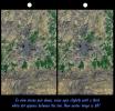
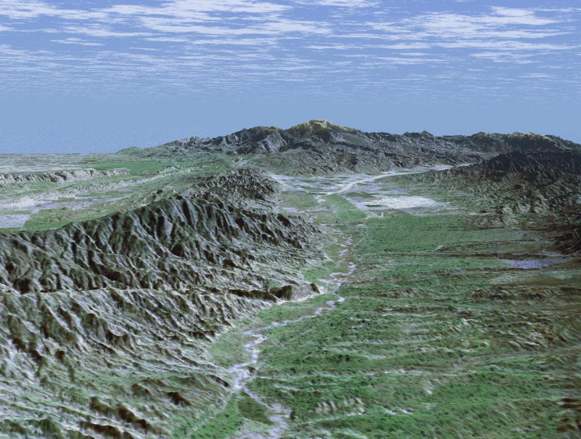
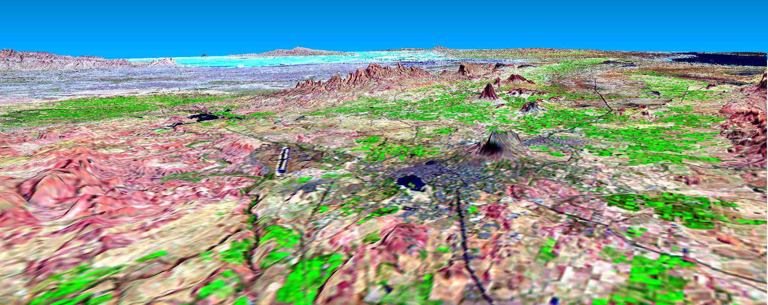
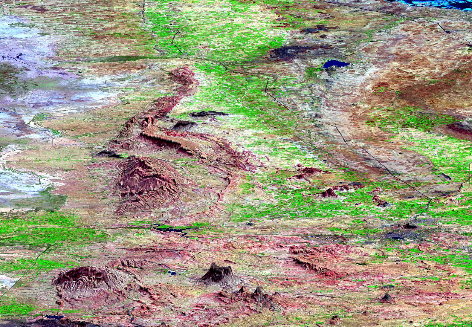
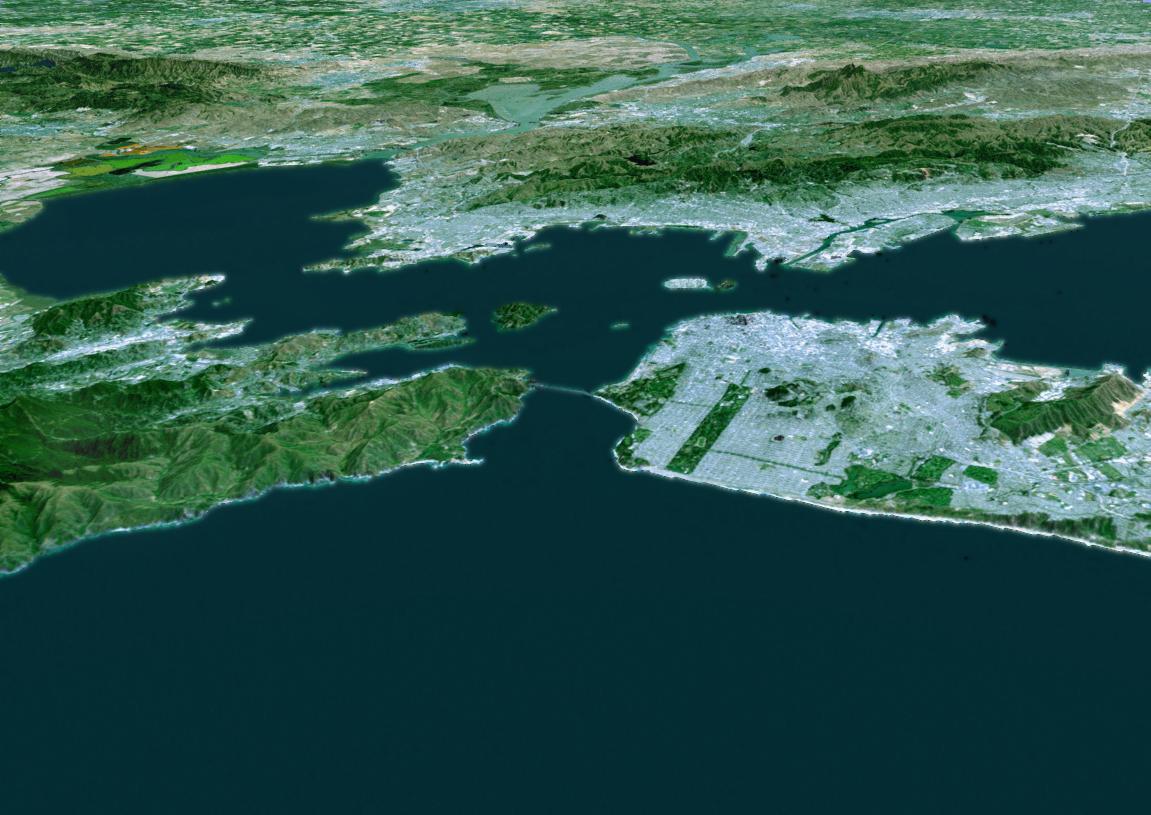
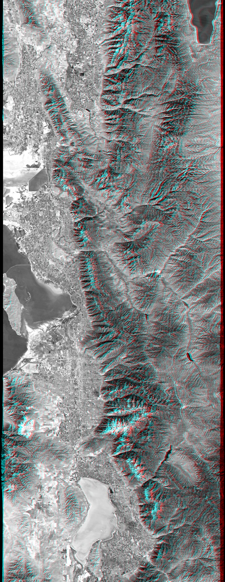
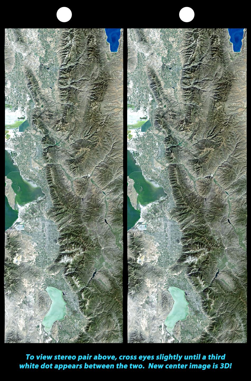
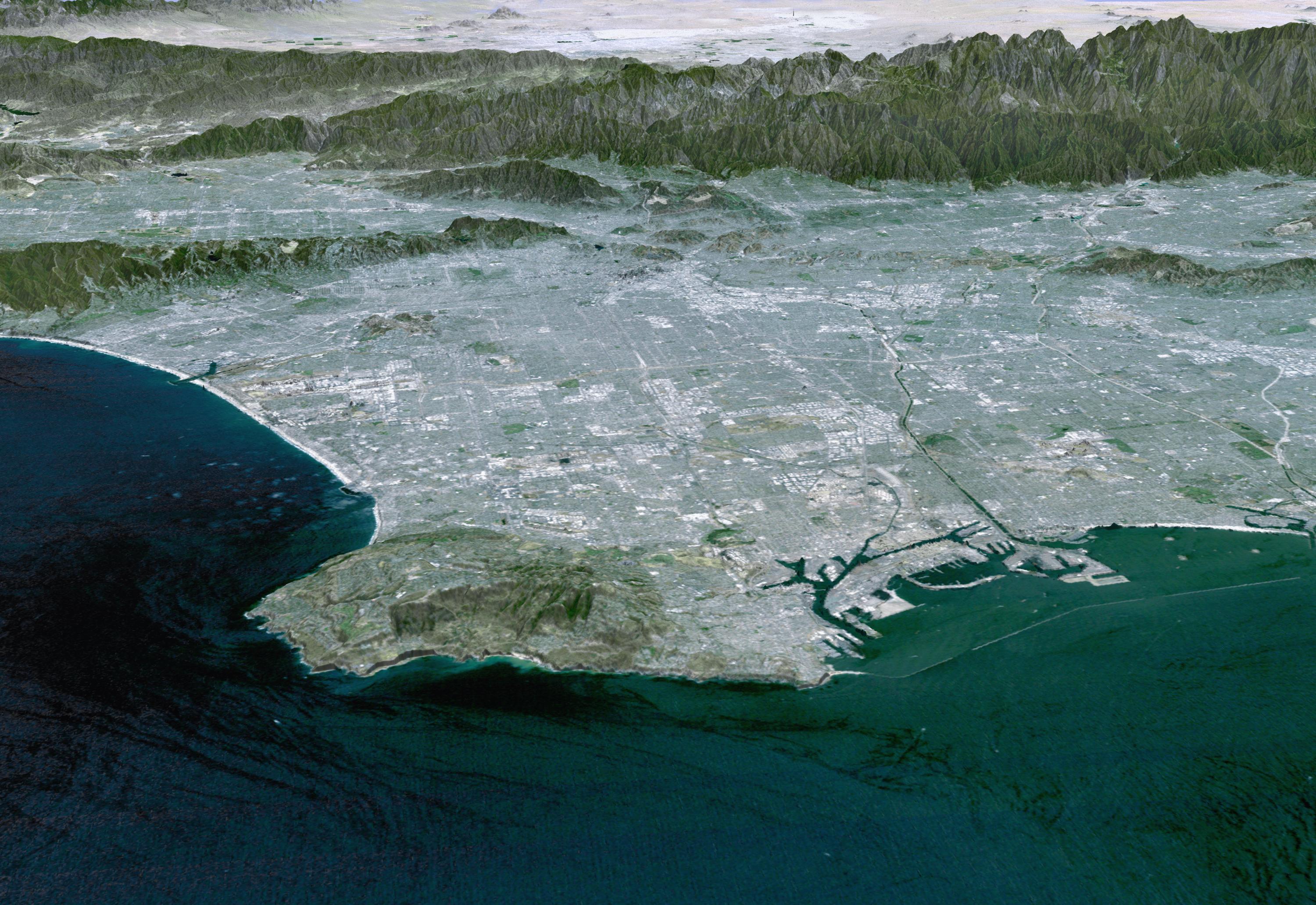
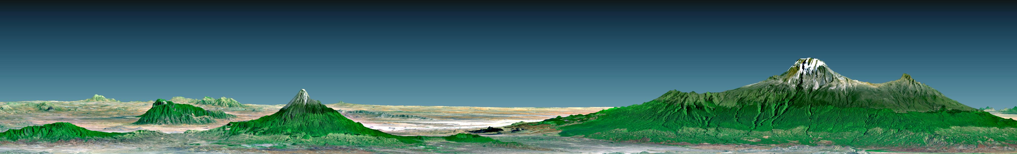
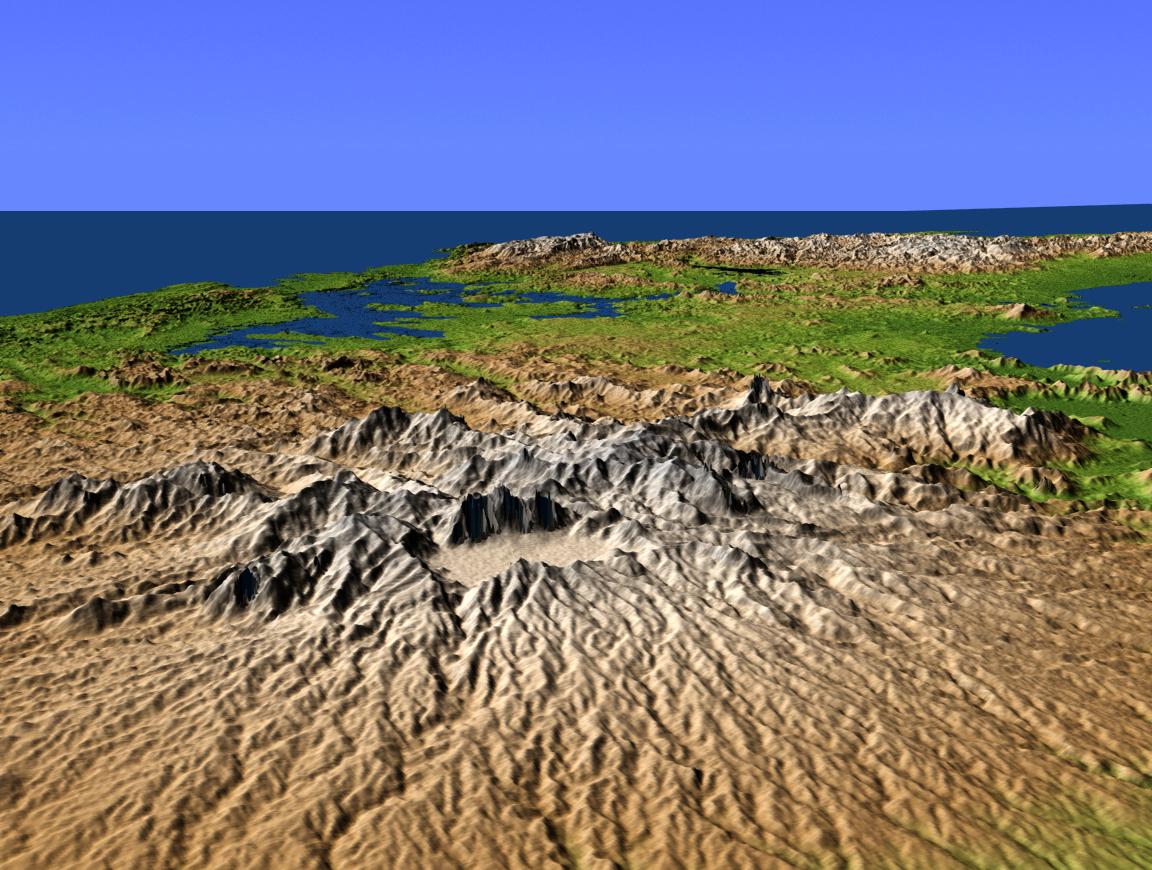
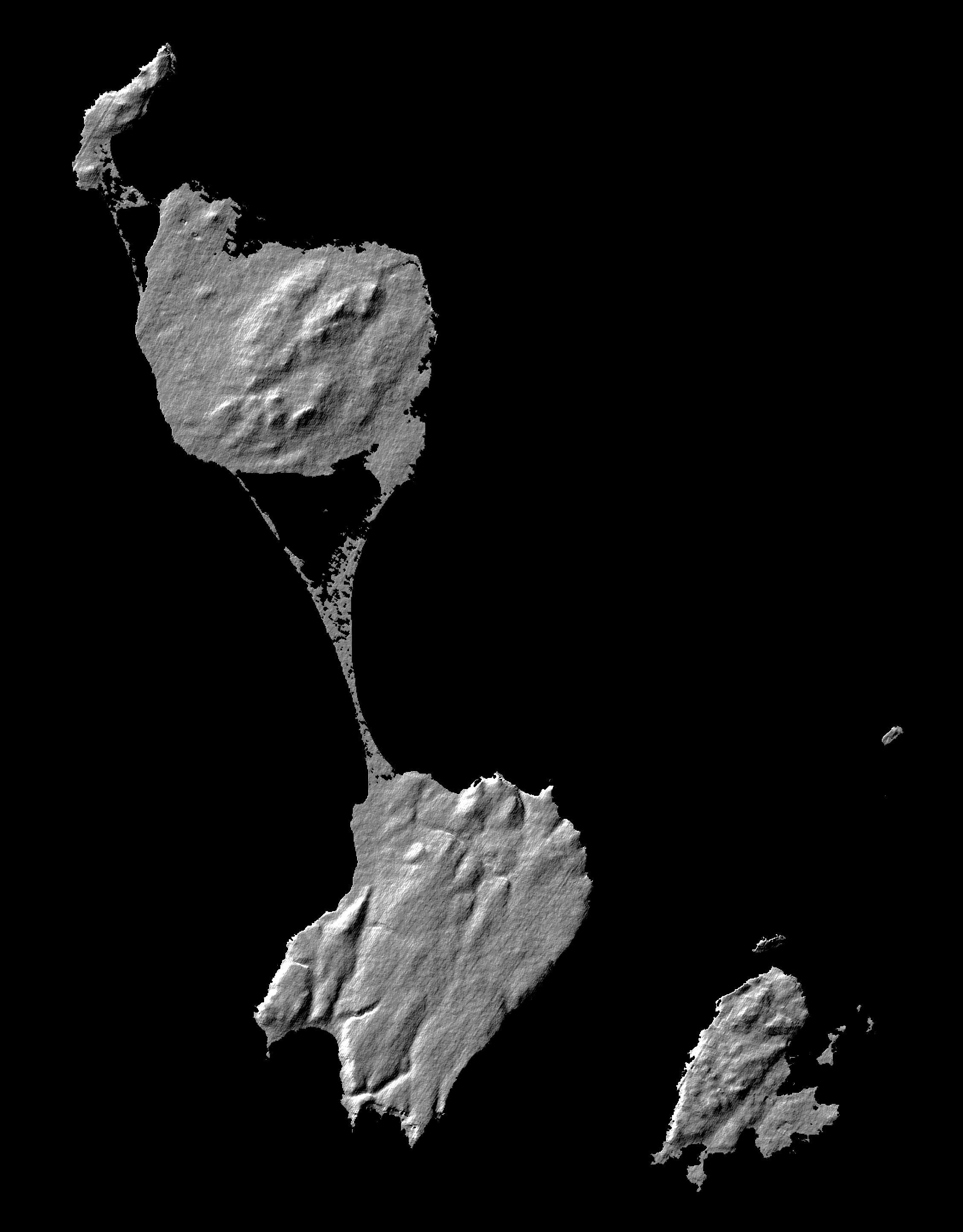
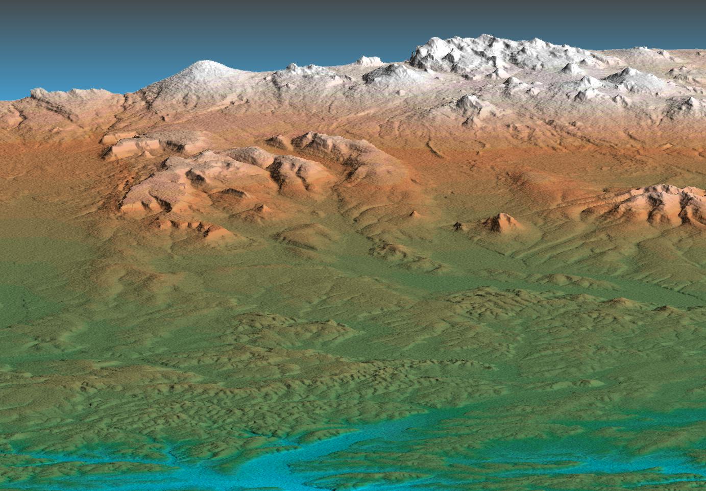
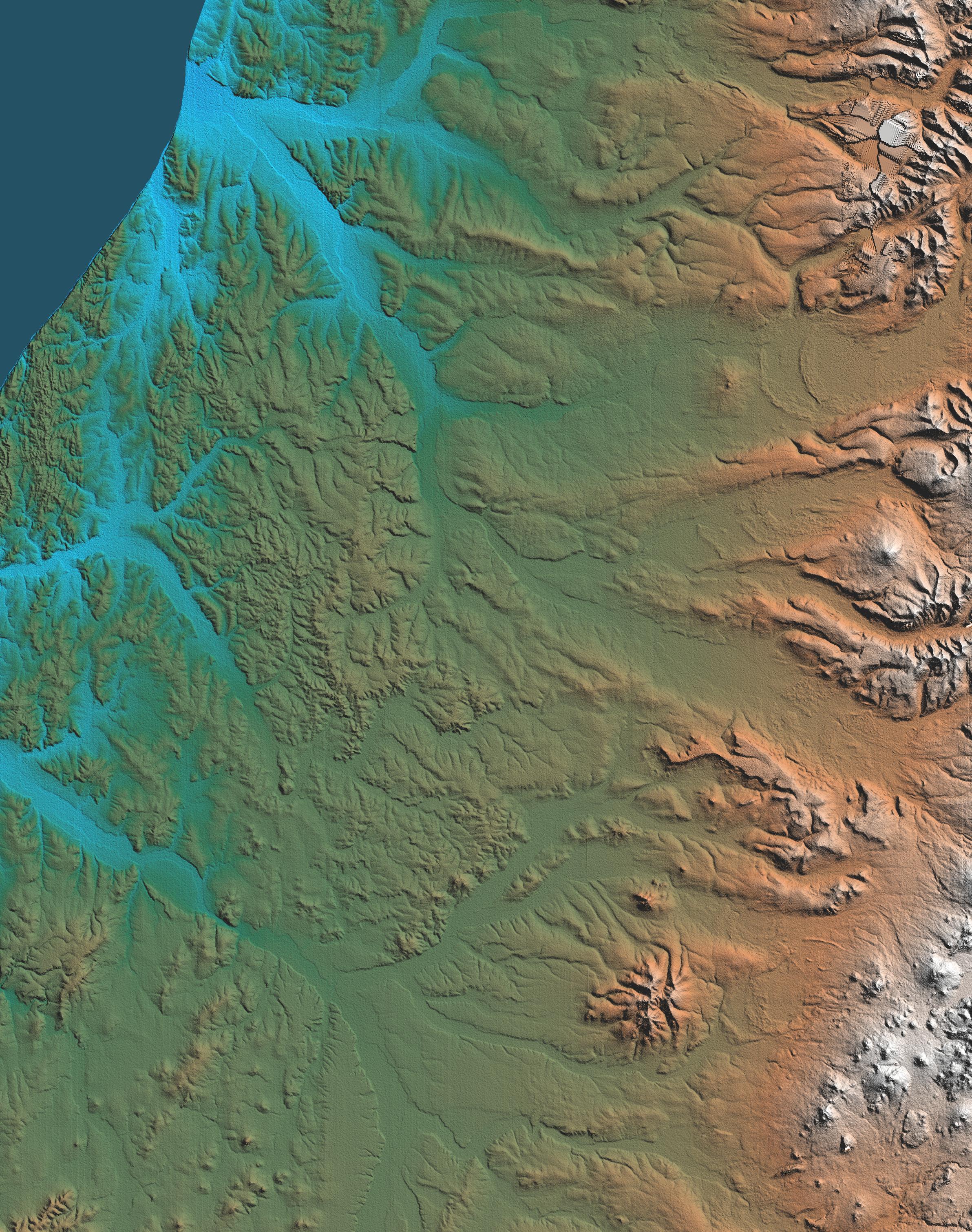
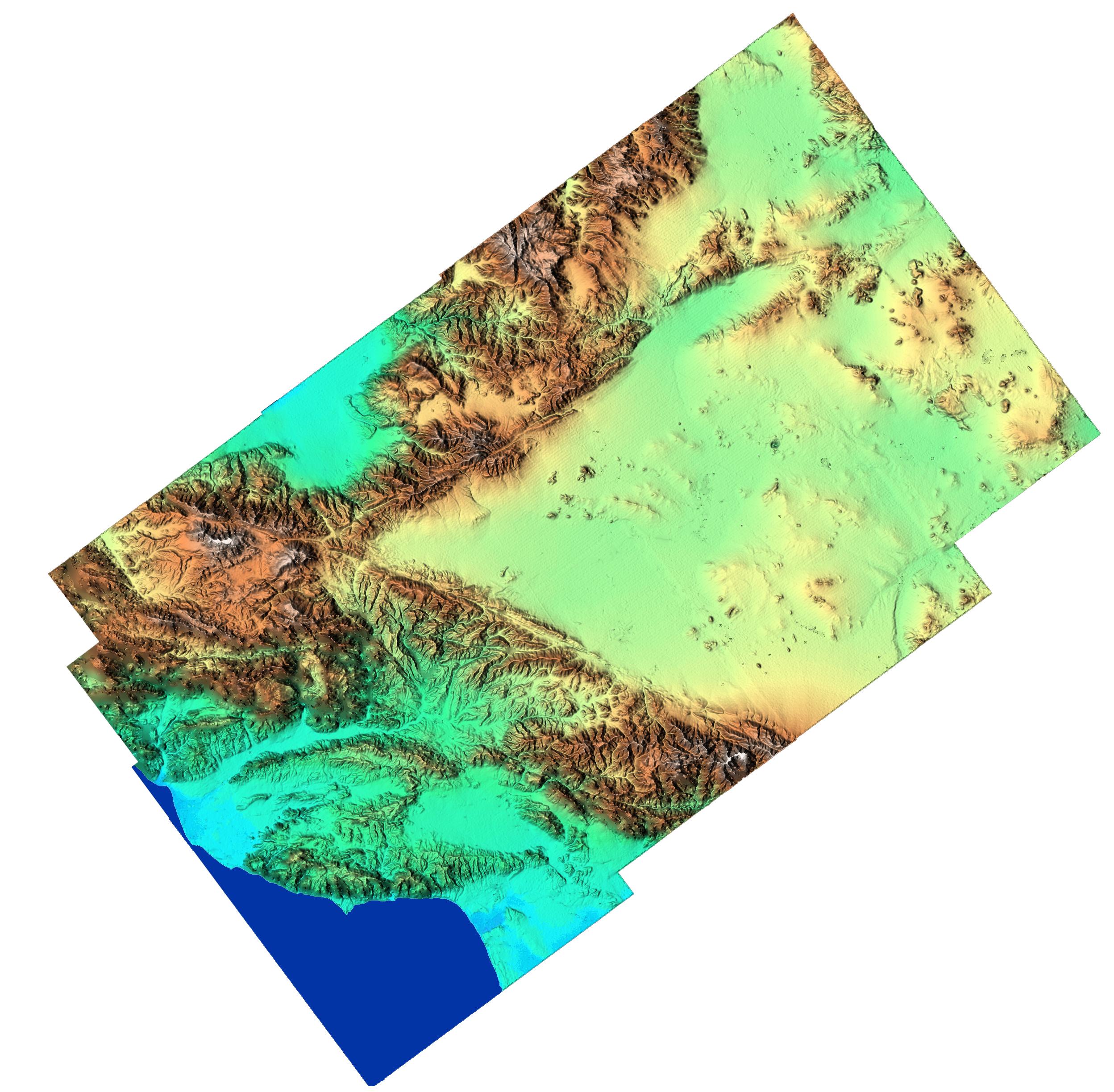
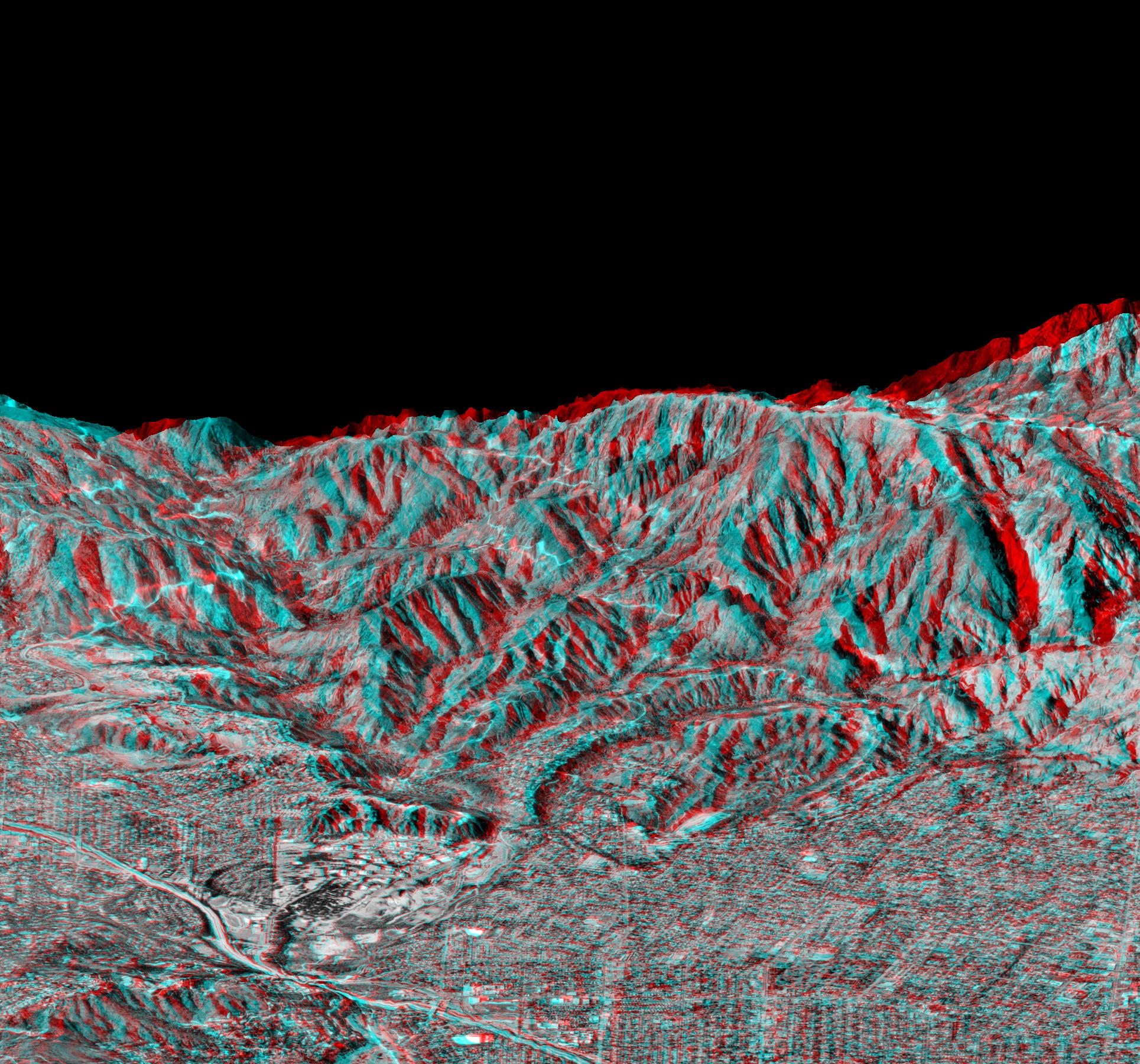
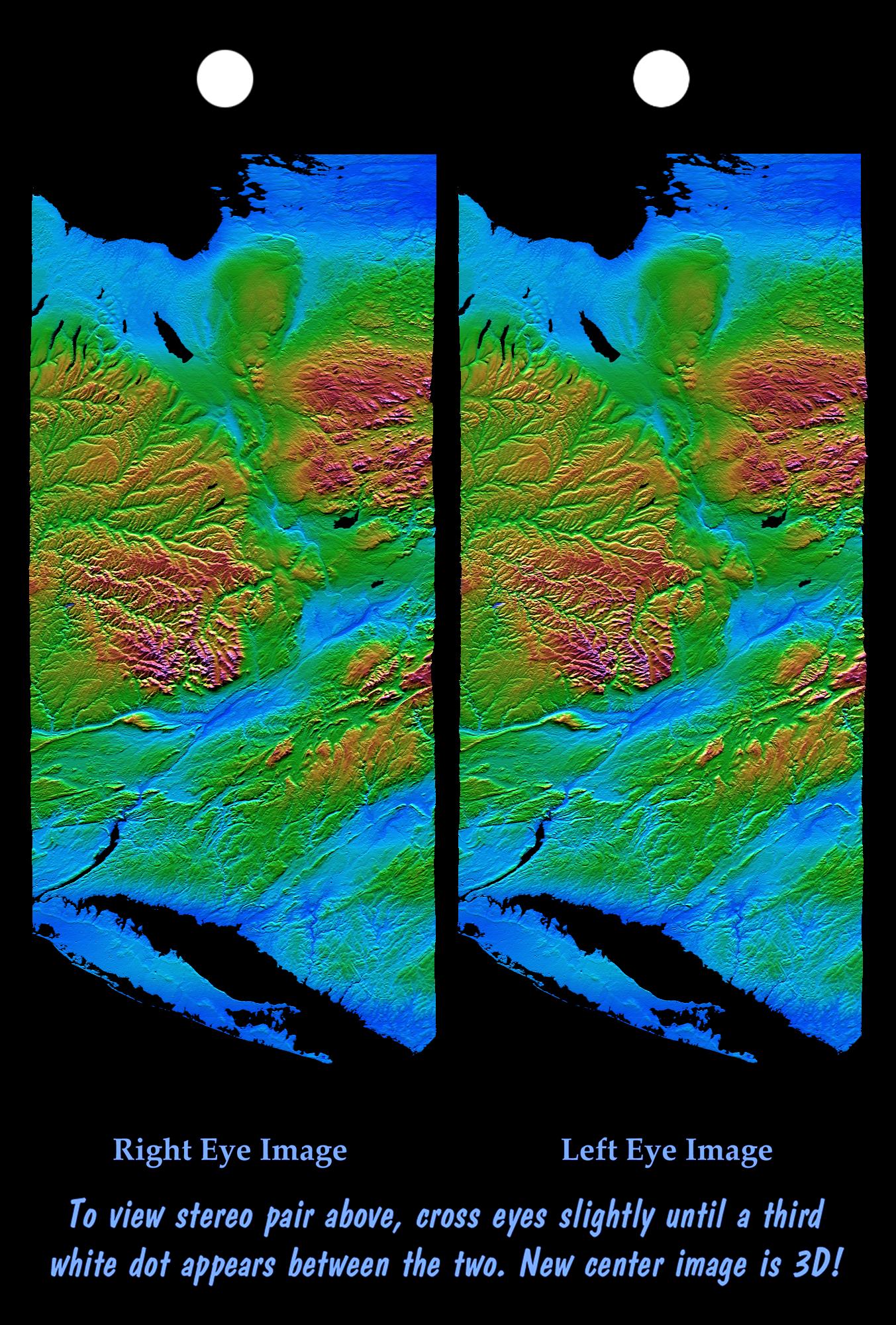
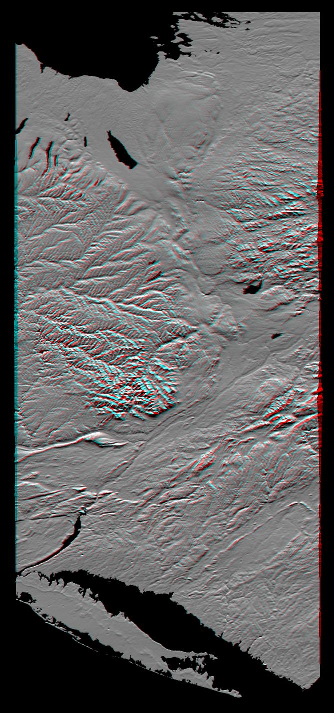
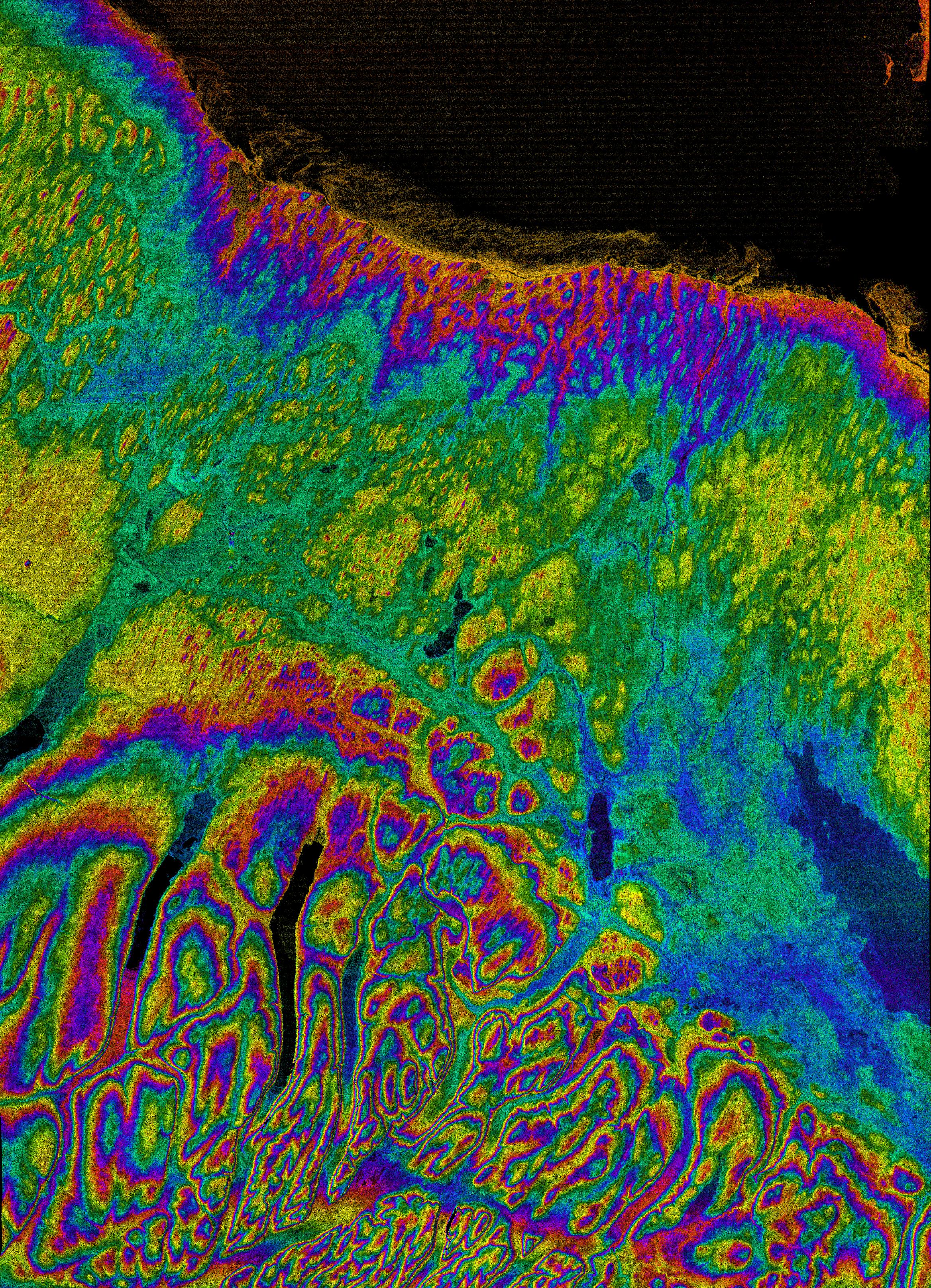
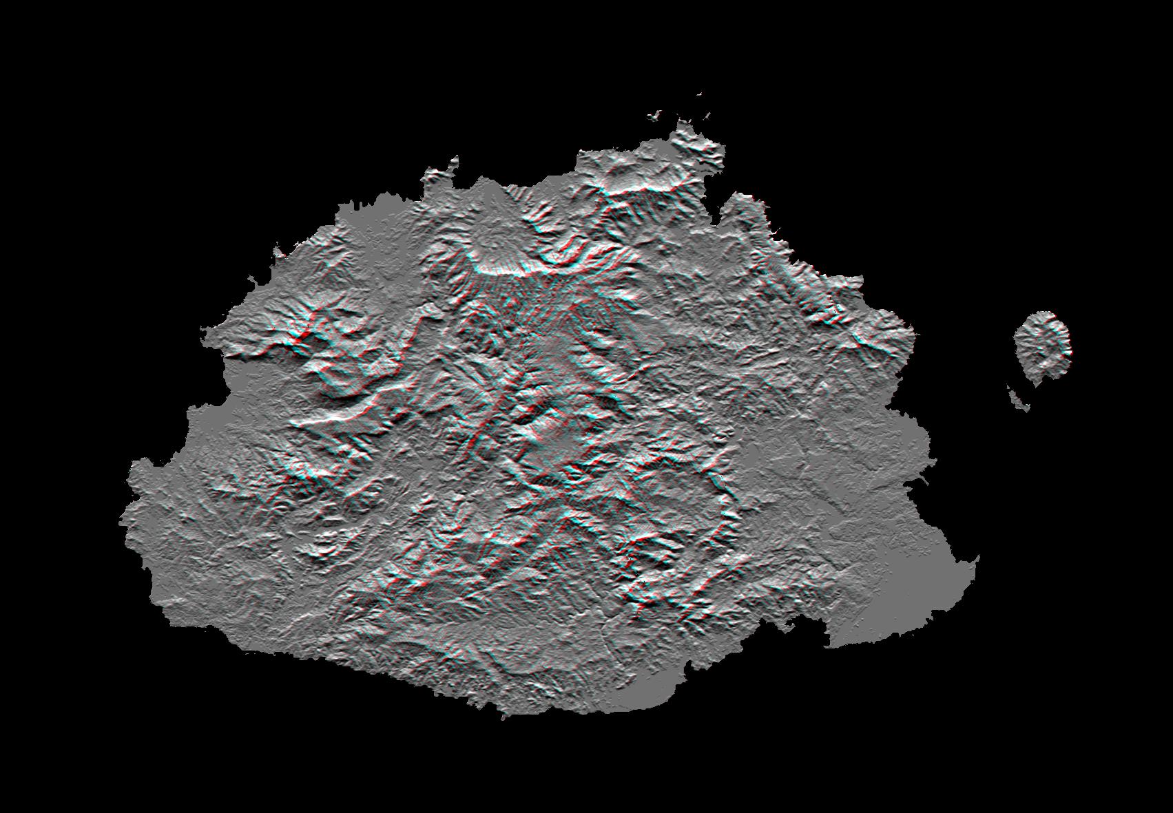
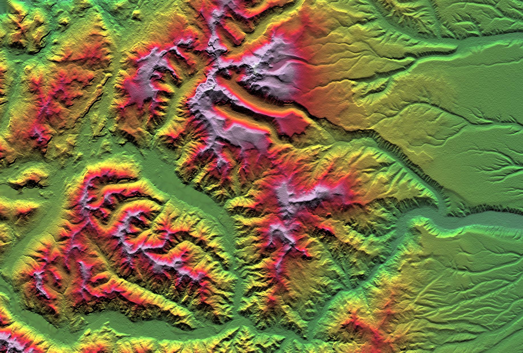
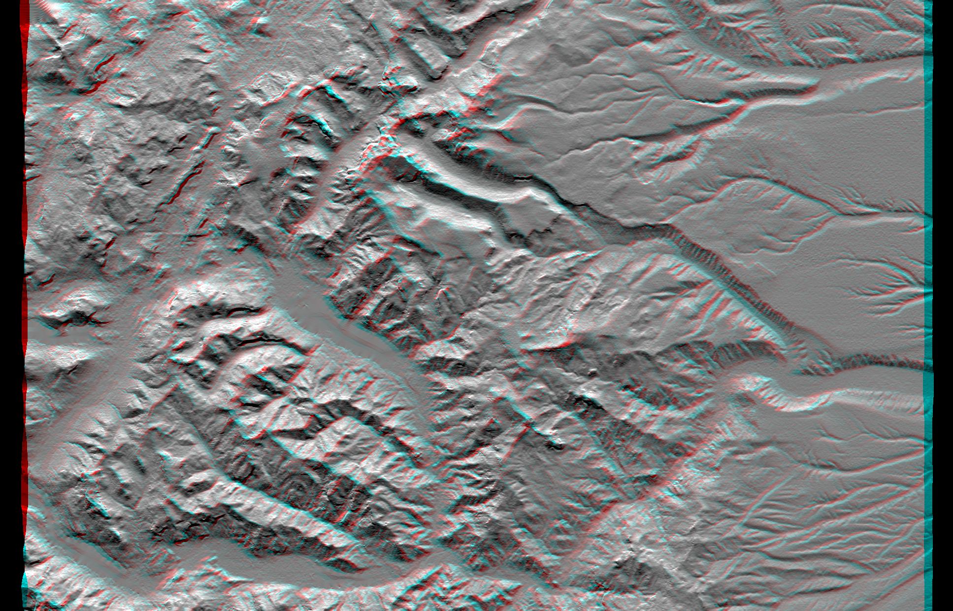
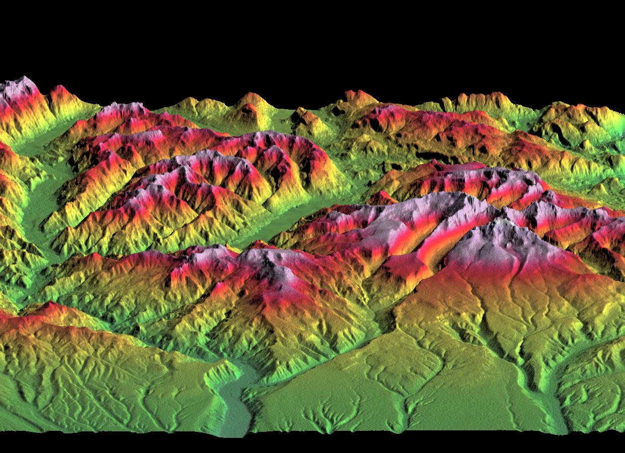
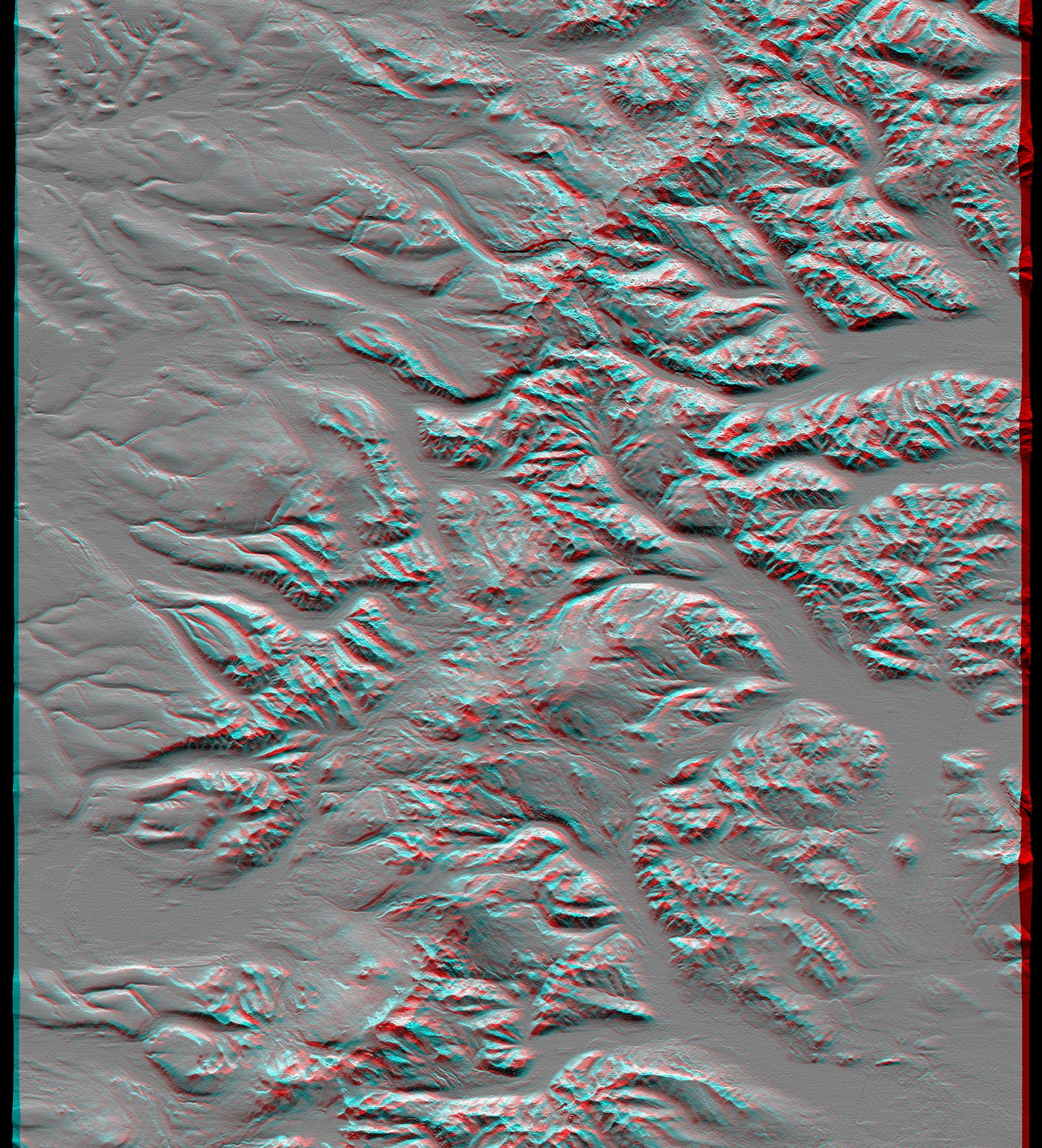
Landsat Shuttle Radar Topography Mission (SRTM) |
C-Band Interferometric Radar Thematic Mapper |
1152x870x3 |

|
|||||
|
|
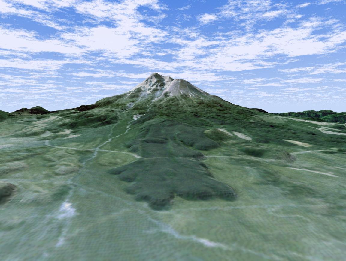
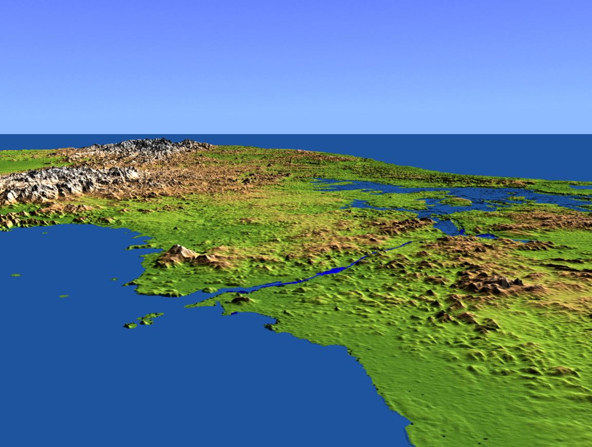
2001-04-05 | Earth |
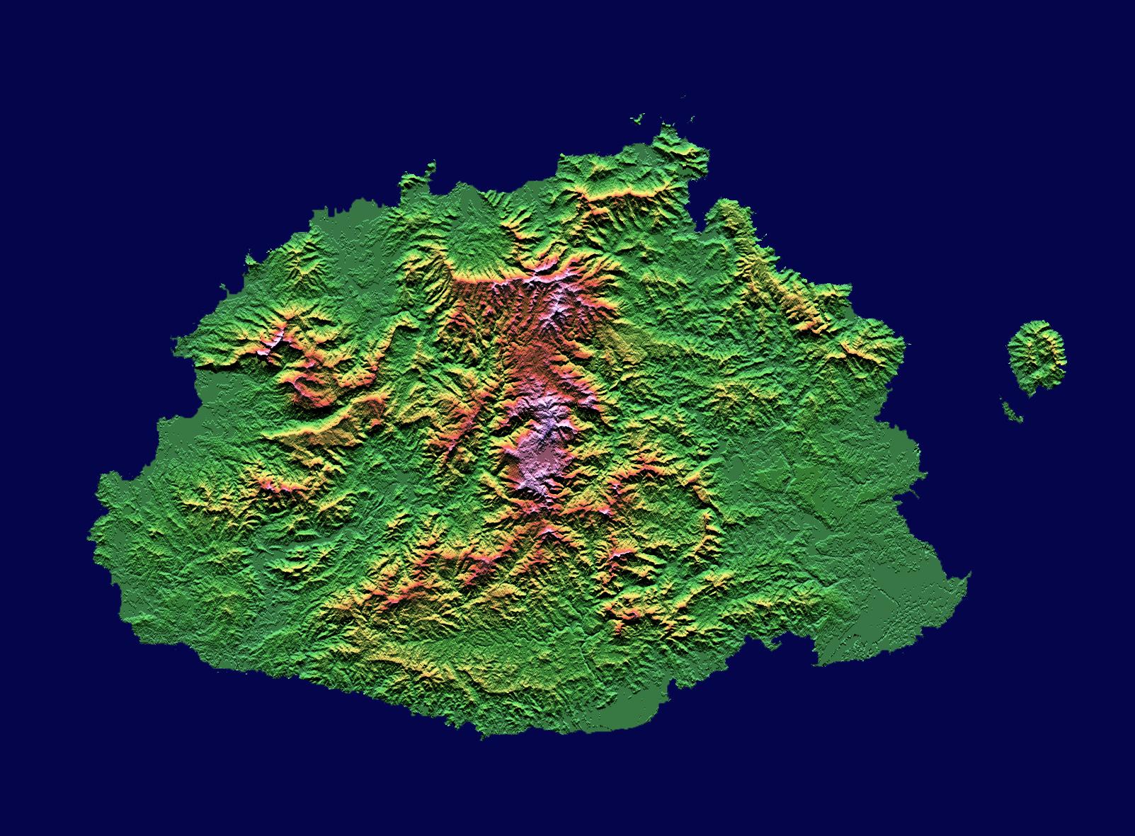
Landsat Shuttle Radar Topography Mission (SRTM) |
C-Band Interferometric Radar Thematic Mapper |
932x900x3 |
|
|||||
|
|
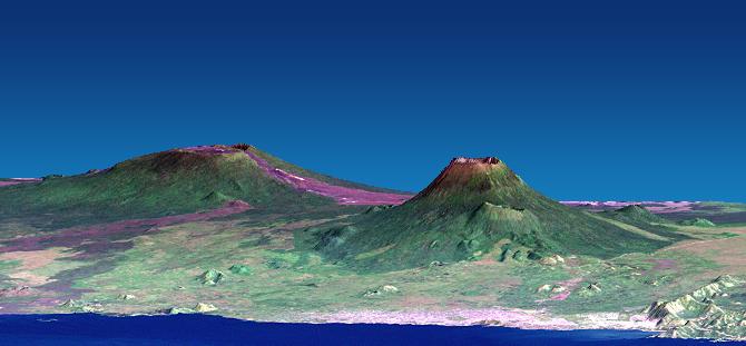
2001-04-05 | Earth |
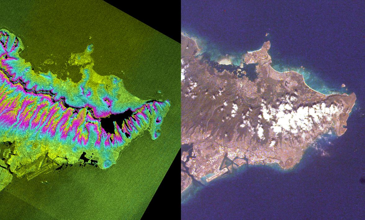
Landsat Shuttle Radar Topography Mission (SRTM) |
C-Band Interferometric Radar Thematic Mapper |
451x691x3 |
|
|||||
|
|
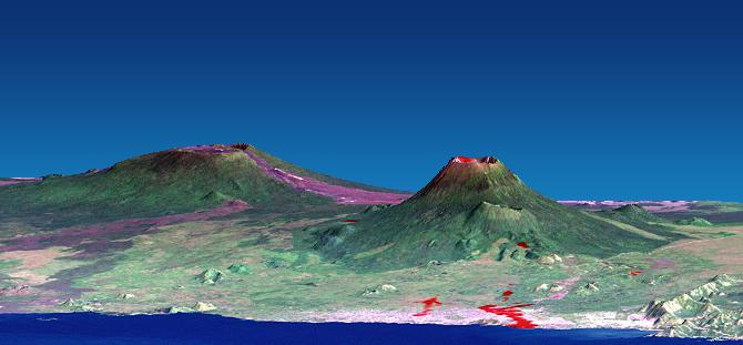
2001-04-05 | Earth |
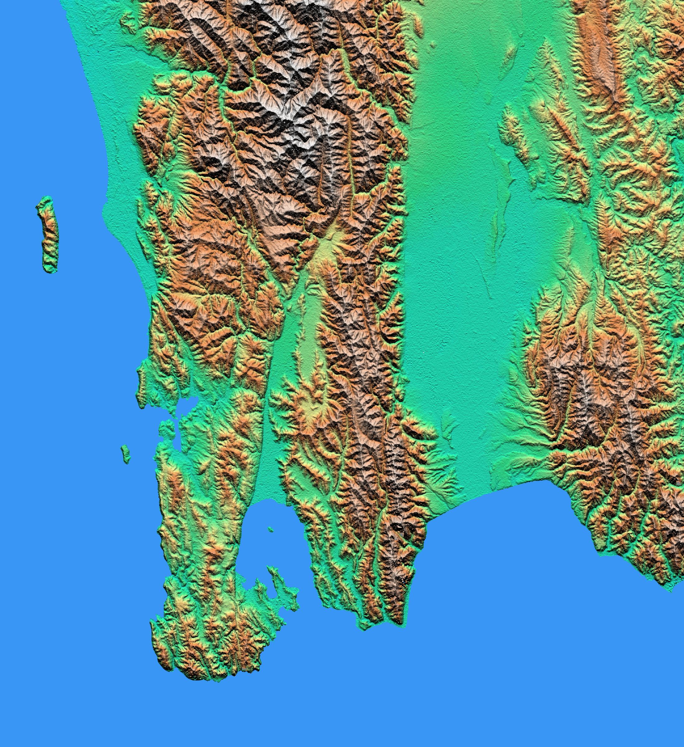
Landsat Shuttle Radar Topography Mission (SRTM) |
C-Band Interferometric Radar Thematic Mapper |
1574x626x3 |
|
|||||
|
|
2001-04-12 | Earth |
Landsat Shuttle Radar Topography Mission (SRTM) |
C-Band Interferometric Radar Thematic Mapper |
1579x1094x3 |
|
|||||
|
|
2001-05-02 | Earth |
Landsat Shuttle Radar Topography Mission (SRTM) |
C-Band Interferometric Radar Thematic Mapper |
984x966x3 |
|
|||||
|
|
2001-05-02 | Earth |
Landsat Shuttle Radar Topography Mission (SRTM) |
C-Band Interferometric Radar Thematic Mapper |
477x745x3 |

|
|||||
|
|
2001-04-26 | Earth |
Landsat Shuttle Radar Topography Mission (SRTM) |
C-Band Interferometric Radar Thematic Mapper |
1576x1096x3 |

|
|||||
|
|
2001-05-18 | Earth |
Landsat Shuttle Radar Topography Mission (SRTM) |
C-Band Interferometric Radar Thematic Mapper |
4096x2304x3 |
|
|||||
|
|
2001-05-18 | Earth |
Landsat Shuttle Radar Topography Mission (SRTM) |
C-Band Interferometric Radar Thematic Mapper |
4096x2304x3 |
|
|||||
|
|
2001-05-24 | Earth |
Landsat Shuttle Radar Topography Mission (SRTM) |
C-Band Interferometric Radar Thematic Mapper |
941x1304x3 |
|
|||||
|
|
2001-05-31 | Earth |
Landsat Shuttle Radar Topography Mission (SRTM) |
C-Band Interferometric Radar Thematic Mapper |
826x900x3 |
|
|||||
|
|
2001-05-31 | Earth |
Landsat Shuttle Radar Topography Mission (SRTM) |
C-Band Interferometric Radar Thematic Mapper |
398x710x3 |
|
|||||
|
|
2001-07-19 | Earth |
Landsat Shuttle Radar Topography Mission (SRTM) |
C-Band Interferometric Radar Thematic Mapper |
1152x870x3 |
|
|||||
|
|
2001-07-19 | Earth |
Landsat Shuttle Radar Topography Mission (SRTM) |
C-Band Interferometric Radar Thematic Mapper |
1152x870x3 |

|
|||||
|
|
2001-08-03 | Earth |
Landsat Shuttle Radar Topography Mission (SRTM) |
C-Band Interferometric Radar Thematic Mapper |
1152x870x3 |

|
|||||
|
|
2002-01-22 | Earth |
Landsat Shuttle Radar Topography Mission (SRTM) |
C-Band Interferometric Radar Thematic Mapper |
1152x870x3 |

|
|||||
|
|
2002-01-22 | Earth |
Landsat Shuttle Radar Topography Mission (SRTM) |
C-Band Interferometric Radar Thematic Mapper |
1152x870x3 |

|
|||||
|
|
2002-01-22 | Earth |
Landsat Shuttle Radar Topography Mission (SRTM) |
C-Band Interferometric Radar Thematic Mapper |
1150x724x3 |

|
|||||
|
|
2002-01-22 | Earth |
Landsat Shuttle Radar Topography Mission (SRTM) |
C-Band Interferometric Radar Thematic Mapper |
1150x810x3 |

|
|||||
|
|
2002-01-22 | Earth |
Landsat Shuttle Radar Topography Mission (SRTM) |
C-Band Interferometric Radar Thematic Mapper |
1725x928x3 |

|
|||||
|
|
2002-01-22 | Earth |
Landsat Shuttle Radar Topography Mission (SRTM) |
C-Band Interferometric Radar Thematic Mapper |
1152x870x3 |

|
|||||
|
|
2002-01-31 | Earth |
Landsat Shuttle Radar Topography Mission (SRTM) |
C-Band Interferometric Radar Thematic Mapper |
1151x815x3 |

|
|||||
|
|
2002-01-31 | Earth |
Landsat Shuttle Radar Topography Mission (SRTM) |
C-Band Interferometric Radar Thematic Mapper |
1152x870x3 |
|
|||||
|
|
2002-02-01 | Earth |
Landsat Shuttle Radar Topography Mission (SRTM) |
C-Band Interferometric Radar Thematic Mapper |
670x311x3 |

|
|||||
|
|
2002-02-01 | Earth |
Landsat Shuttle Radar Topography Mission (SRTM) |
C-Band Interferometric Radar Thematic Mapper |
670x311x3 |

|
|||||
|
|
2002-02-01 | Earth |
Landsat Shuttle Radar Topography Mission (SRTM) |
C-Band Interferometric Radar Thematic Mapper |
670x1350x3 |

|
|||||
|
|
2002-02-01 | Earth |
Landsat Shuttle Radar Topography Mission (SRTM) |
C-Band Interferometric Radar Thematic Mapper |
1384x2022x3 |
|
|||||
|
|
2002-02-06 | Earth |
Landsat Shuttle Radar Topography Mission (SRTM) |
C-Band Interferometric Radar Thematic Mapper |
2154x2442x3 |

|
|||||
|
|
2002-02-06 | Earth |
Landsat Shuttle Radar Topography Mission (SRTM) |
C-Band Interferometric Radar Thematic Mapper |
3100x553x3 |
|
|||||
|
|
2002-02-06 | Earth |
Landsat Shuttle Radar Topography Mission (SRTM) |
C-Band Interferometric Radar Thematic Mapper |
925x2385x3 |
|
|
|||||
|
|
2002-02-06 | Earth |
Landsat Shuttle Radar Topography Mission (SRTM) |
C-Band Interferometric Radar Thematic Mapper |
950x1444x3 |
|
|||||
|
|
2002-02-28 | Earth |
Landsat Shuttle Radar Topography Mission (SRTM) |
C-Band Interferometric Radar Thematic Mapper |
1958x799x3 |
|
|||||
|
|
2002-04-05 | Earth |
Landsat Shuttle Radar Topography Mission (SRTM) |
C-Band Interferometric Radar Thematic Mapper |
3000x2063x3 |

|
|||||
|
|
2002-08-22 | Earth |
Landsat Shuttle Radar Topography Mission (SRTM) |
C-Band Interferometric Radar Thematic Mapper |
1373x209x3 |

|
|||||
|
|
2002-09-12 | Earth |
Landsat Shuttle Radar Topography Mission (SRTM) |
C-Band Interferometric Radar Thematic Mapper |
712x808x3 |

|
|||||
|
|
2002-09-12 | Earth |
Landsat Shuttle Radar Topography Mission (SRTM) |
C-Band Interferometric Radar Thematic Mapper |
339x620x3 |

|
|||||
|
|
2002-09-19 | Earth |
Landsat Shuttle Radar Topography Mission (SRTM) |
C-Band Interferometric Radar Thematic Mapper |
1009x1600x3 |

|
|||||
|
|
2002-09-19 | Earth |
Landsat Shuttle Radar Topography Mission (SRTM) |
C-Band Interferometric Radar Thematic Mapper |
2174x2271x3 |
|
|||||
|
|
2002-11-08 | Earth |
Landsat Shuttle Radar Topography Mission (SRTM) |
C-Band Interferometric Radar Thematic Mapper |
7350x10850x3 |

|
|||||
|
|
2002-11-08 | Earth |
Landsat Shuttle Radar Topography Mission (SRTM) |
C-Band Interferometric Radar Thematic Mapper |
1389x682x3 |
|
|||||
|
|
2002-12-23 | Earth |
Landsat Shuttle Radar Topography Mission (SRTM) |
C-Band Interferometric Radar Thematic Mapper |
4475x1896x3 |
|
|||||
|
|
2003-05-01 | Earth |
Landsat Shuttle Radar Topography Mission (SRTM) |
C-Band Interferometric Radar Thematic Mapper |
3162x1581x3 |

|
|||||
|
|
2003-05-01 | Earth |
Landsat Shuttle Radar Topography Mission (SRTM) |
C-Band Interferometric Radar Thematic Mapper |
3262x3162x3 |
|
|||||
|
|
2004-06-23 | Earth |
Shuttle Radar Topography Mission (SRTM) Terra |
C-Band Interferometric Radar Multi-angle Imaging SpectroRadiometer (MISR) |
4149x2299x3 |

|
|||||
|
|
2002-10-25 | Earth |
Shuttle Radar Topography Mission (SRTM) |
C-Band Interferometric Radar |
1152x870x3 |

|
|||||
|
|
2002-10-25 | Earth |
Shuttle Radar Topography Mission (SRTM) |
C-Band Interferometric Radar |
1152x870x3 |

|
|||||
|
|
2000-02-14 | Earth |
Shuttle Radar Topography Mission (SRTM) |
C-Band Interferometric Radar |
2400x2781x3 |
|
|||||
|
|
2000-02-14 | Earth |
Shuttle Radar Topography Mission (SRTM) |
C-Band Interferometric Radar |
1890x2270x1 |
|
|||||
|
|
2000-02-14 | Earth |
Shuttle Radar Topography Mission (SRTM) |
C-Band Interferometric Radar |
2257x2887x1 |

|
|||||
|
|
2000-02-15 | Earth |
Shuttle Radar Topography Mission (SRTM) |
C-Band Interferometric Radar |
2056x1194x3 |
|
|||||
|
|
2000-02-15 | Earth |
Shuttle Radar Topography Mission (SRTM) |
C-Band Interferometric Radar |
2062x1194x3 |

|
|||||
|
|
2000-02-15 | Earth |
Shuttle Radar Topography Mission (SRTM) |
C-Band Interferometric Radar |
2400x2938x3 |

|
|||||
|
|
2000-02-16 | Earth |
Shuttle Radar Topography Mission (SRTM) |
C-Band Interferometric Radar |
1383x962x3 |

|
|||||
|
|
2000-02-16 | Earth |
Shuttle Radar Topography Mission (SRTM) |
C-Band Interferometric Radar |
2384x3021x3 |
|
|||||
|
|
2000-02-16 | Earth |
Shuttle Radar Topography Mission (SRTM) |
C-Band Interferometric Radar |
1881x2650x3 |
|
|||||
|
|
2000-02-17 | Earth |
Shuttle Radar Topography Mission (SRTM) |
C-Band Interferometric Radar |
1059x722x3 |
|
|||||
|
|
2000-02-17 | Earth |
Shuttle Radar Topography Mission (SRTM) |
C-Band Interferometric Radar |
1749x4787x3 |
|
|
|||||
|
|
2000-02-17 | Earth |
Shuttle Radar Topography Mission (SRTM) |
C-Band Interferometric Radar |
1357x982x3 |
|
|||||
|
|
2000-02-17 | Earth |
Shuttle Radar Topography Mission (SRTM) |
C-Band Interferometric Radar |
1749x4787x3 |
|
|
|||||
|
|
2000-02-17 | Earth |
Shuttle Radar Topography Mission (SRTM) |
C-Band Interferometric Radar |
1228x1093x3 |

|
|||||
|
|
2000-02-17 | Earth |
Shuttle Radar Topography Mission (SRTM) |
C-Band Interferometric Radar |
1228x1093x3 |
|
|||||
|
|
2000-03-13 | Earth |
Shuttle Radar Topography Mission (SRTM) |
C-Band Interferometric Radar |
2496x2447x3 |
|
|||||
|
|
2000-02-18 | Earth |
Shuttle Radar Topography Mission (SRTM) |
C-Band Interferometric Radar |
1856x1852x3 |
|
|||||
|
|
2000-02-18 | Earth |
Shuttle Radar Topography Mission (SRTM) |
C-Band Interferometric Radar |
737x797x3 |
|
|||||
|
|
2000-02-19 | Earth |
Shuttle Radar Topography Mission (SRTM) |
C-Band Interferometric Radar |
1793x1314x1 |
|
|||||
|
|
2000-02-19 | Earth |
Shuttle Radar Topography Mission (SRTM) |
C-Band Interferometric Radar |
2273x1515x3 |
|
|||||
|
|
2000-02-19 | Earth |
Shuttle Radar Topography Mission (SRTM) |
C-Band Interferometric Radar |
1319x1062x3 |

|
|||||
|
|
2000-02-19 | Earth |
Shuttle Radar Topography Mission (SRTM) |
C-Band Interferometric Radar |
1877x1676x3 |
|
|||||
|
|
2000-02-20 | Earth |
Shuttle Radar Topography Mission (SRTM) |
C-Band Interferometric Radar |
1965x1347x3 |
|
|||||
|
|
2000-02-20 | Earth |
Shuttle Radar Topography Mission (SRTM) |
C-Band Interferometric Radar |
1634x1072x3 |

|
|||||
|
|
2000-02-21 | Earth |
Shuttle Radar Topography Mission (SRTM) |
C-Band Interferometric Radar |
1252x2352x1 |
|
|||||
|
|
2000-02-21 | Earth |
Shuttle Radar Topography Mission (SRTM) |
C-Band Interferometric Radar |
1929x1800x3 |
|
|||||
|
|
2000-02-21 | Earth |
Shuttle Radar Topography Mission (SRTM) |
C-Band Interferometric Radar |
1603x1181x3 |

|
|||||
|
|
2000-03-10 | Earth |
Shuttle Radar Topography Mission (SRTM) |
C-Band Interferometric Radar |
2482x661x3 |
|
|||||
|
|
2000-03-28 | Earth |
Shuttle Radar Topography Mission (SRTM) |
C-Band Interferometric Radar |
1176x710x3 |

|
|||||
|
|
2000-04-06 | Earth |
Shuttle Radar Topography Mission (SRTM) |
C-Band Interferometric Radar |
2197x2400x3 |
|
|||||
|
|
2000-05-18 | Earth |
Shuttle Radar Topography Mission (SRTM) |
C-Band Interferometric Radar |
1416x2113x3 |

|
|||||
|
|
2000-06-01 | Earth |
Shuttle Radar Topography Mission (SRTM) |
C-Band Interferometric Radar |
1353x2000x3 |
|
|||||
|
|
2000-06-01 | Earth |
Shuttle Radar Topography Mission (SRTM) |
C-Band Interferometric Radar |
669x1427x3 |
|
|
|||||
|
|
2000-06-15 | Earth |
Shuttle Radar Topography Mission (SRTM) |
C-Band Interferometric Radar |
2336x3229x3 |
|
|||||
|
|
2000-08-10 | Earth |
Shuttle Radar Topography Mission (SRTM) |
C-Band Interferometric Radar |
1431x911x3 |

|
|||||
|
|
2000-11-02 | Earth |
Shuttle Radar Topography Mission (SRTM) |
C-Band Interferometric Radar |
1703x1181x3 |
|
|||||
|
|
2000-11-02 | Earth |
Shuttle Radar Topography Mission (SRTM) |
C-Band Interferometric Radar |
1118x718x3 |
|
|||||
|
|
2000-12-21 | Earth |
Shuttle Radar Topography Mission (SRTM) |
C-Band Interferometric Radar |
3463x4313x3 |
|
|||||
|
|
2000-12-21 | Earth |
Shuttle Radar Topography Mission (SRTM) |
C-Band Interferometric Radar |
3000x1500x3 |

|
|||||
|
|
2000-12-21 | Earth |
Shuttle Radar Topography Mission (SRTM) |
C-Band Interferometric Radar |
1109x777x3 |

|
|||||
|
|
2001-04-05 | Earth |
Shuttle Radar Topography Mission (SRTM) |
C-Band Interferometric Radar |
2400x1593x3 |
|
|||||
|
|
2001-04-12 | Earth |
Shuttle Radar Topography Mission (SRTM) |
C-Band Interferometric Radar |
875x552x3 |
|
|||||
|
|
2001-06-14 | Earth |
Shuttle Radar Topography Mission (SRTM) |
C-Band Interferometric Radar |
1835x1240x3 |

|
|||||
|
|
2001-06-14 | Earth |
Shuttle Radar Topography Mission (SRTM) |
C-Band Interferometric Radar |
1935x1240x3 |
|
|||||
|
|
2001-06-22 | Earth |
Shuttle Radar Topography Mission (SRTM) |
C-Band Interferometric Radar |
1240x900x3 |
|
|||||
|
|
2001-07-05 | Earth |
Shuttle Radar Topography Mission (SRTM) |
C-Band Interferometric Radar |
1600x1763x3 |
|
|||||
|
|
2001-07-05 | Earth |
Shuttle Radar Topography Mission (SRTM) |
C-Band Interferometric Radar |
1550x1763x3 |
|
|||||
|
|
2001-07-26 | Earth |
Shuttle Radar Topography Mission (SRTM) |
C-Band Interferometric Radar |
2020x1350x3 |
|
|||||
|
|
2001-07-26 | Earth |
Shuttle Radar Topography Mission (SRTM) |
C-Band Interferometric Radar |
1920x1350x3 |
|
|||||
|
|
2001-08-03 | Earth |
Shuttle Radar Topography Mission (SRTM) |
C-Band Interferometric Radar |
7201x3601x3 |
|
|||||
|
|
2001-08-03 | Earth |
Shuttle Radar Topography Mission (SRTM) |
C-Band Interferometric Radar |
2501x1201x3 |
|
|||||
|
|
2001-08-16 | Earth |
Shuttle Radar Topography Mission (SRTM) |
C-Band Interferometric Radar |
1040x1480x3 |
|
|||||
|
|
2001-08-16 | Earth |
Shuttle Radar Topography Mission (SRTM) |
C-Band Interferometric Radar |
1090x1480x3 |
|
|||||

|
 |
 |
 |

|
| 1-100 | 101-200 | 201-300 |
| Currently displaying images: 101 - 200 of 251 |