|
Your search criteria found 3920 images Feature Name |
| My List |
Addition Date | Target | Mission |
Instrument
|
Size |

|
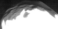
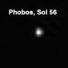
2008-04-09 | Phobos |
Mars Reconnaissance Orbiter (MRO) |
HiRISE |
865x433x1 |
|
|||||
|
|
2008-04-09 | Phobos |
Mars Reconnaissance Orbiter (MRO) |
HiRISE |
1952x1442x3 |
|
|||||
|
|
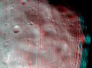
2009-03-09 | Deimos |
Mars Reconnaissance Orbiter (MRO) |
HiRISE |
1505x772x3 |
|
|||||
|
|
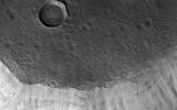
2009-11-12 | Mars |
Mars Reconnaissance Orbiter (MRO) |
HiRISE |
2048x4476x1 |
|
|
|||||
|
|
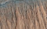
2010-01-13 | Mars |
Mars Reconnaissance Orbiter (MRO) |
HiRISE |
2027x1500x3 |
|
|||||
|
|
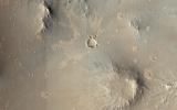
2010-03-03 | Mars |
Mars Reconnaissance Orbiter (MRO) |
HiRISE |
2560x1920x3 |
|
|||||
|
|
2010-12-17 | Mars |
Mars Reconnaissance Orbiter (MRO) |
HiRISE |
2560x1920x3 |
|
|||||
|
|
2014-01-09 | Mars |
Mars Reconnaissance Orbiter (MRO) |
HiRISE |
2560x1920x3 |

|
|||||
|
|
2013-04-10 | Mars |
Mars Reconnaissance Orbiter (MRO) |
HiRISE |
2560x1920x3 |

|
|||||
|
|
2014-12-18 | Mars |
Mars Reconnaissance Orbiter (MRO) |
HiRISE |
2560x1920x3 |

|
|||||
|
|
2015-12-10 | Mars |
Mars Reconnaissance Orbiter (MRO) |
HiRISE |
2880x1800x3 |
|
|||||
|
|
2016-01-27 | Mars |
Mars Reconnaissance Orbiter (MRO) |
HiRISE |
2880x1800x3 |
|
|||||
|
|
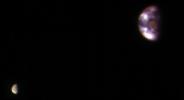
2017-01-06 | Earth |
Mars Reconnaissance Orbiter (MRO) |
HiRISE |
657x358x3 |
|
|||||
|
|
2017-05-01 | Mars |
Mars Reconnaissance Orbiter (MRO) |
HiRISE |
2880x1800x1 |
|
|||||
|
|
2017-06-02 | Mars |
Mars Reconnaissance Orbiter (MRO) |
HiRISE |
2880x1800x3 |
|
|||||
|
|
2017-07-10 | Mars |
Mars Reconnaissance Orbiter (MRO) |
HiRISE |
2880x1800x3 |
|
|||||
|
|
2018-07-24 | Mars |
Mars Reconnaissance Orbiter (MRO) |
HiRISE |
2880x1800x3 |
|
|||||
|
|
2020-02-14 | Mars |
Mars Reconnaissance Orbiter (MRO) |
HiRISE |
2880x1800x3 |
|
|||||
|
|
2021-02-22 | Mars |
Mars Reconnaissance Orbiter (MRO) |
HiRISE |
1920x1080x3 |
|
|||||
|
|
2021-02-22 | Mars |
Mars Reconnaissance Orbiter (MRO) |
HiRISE |
600x600x3 |
|
|||||
|
|
2021-02-22 | Mars |
Mars Reconnaissance Orbiter (MRO) |
HiRISE |
600x600x3 |
|
|||||
|
|
2021-02-22 | Mars |
Mars Reconnaissance Orbiter (MRO) |
HiRISE |
600x600x3 |
|
|||||
|
|
2021-02-22 | Mars |
Mars Reconnaissance Orbiter (MRO) |
HiRISE |
600x600x3 |

|
|||||
|
|
2021-03-05 | Mars |
Mars Reconnaissance Orbiter (MRO) |
HiRISE |
1920x1080x3 |
|
|||||
|
|
2021-03-05 | Mars |
Mars Reconnaissance Orbiter (MRO) |
HiRISE |
1920x1080x3 |
|
|||||
|
|
2021-06-22 | Mars |
Mars Reconnaissance Orbiter (MRO) |
HiRISE |
865x1286x3 |
|
|||||
|
|
2021-08-19 | Mars |
Mars Reconnaissance Orbiter (MRO) |
HiRISE |
2054x1305x3 |
|
|||||
|
|
2021-09-10 | Mars |
Mars Reconnaissance Orbiter (MRO) |
HiRISE |
3840x2160x3 |
|
|||||
|
|
2021-09-28 | Mars |
Mars Reconnaissance Orbiter (MRO) |
HiRISE |
2085x1581x3 |
|
|||||
|
|
2021-10-07 | Mars |
Mars Reconnaissance Orbiter (MRO) |
HiRISE |
2366x1001x3 |
|
|||||
|
|
2021-11-29 | Mars |
Mars Reconnaissance Orbiter (MRO) |
HiRISE |
2880x1800x3 |
|
|||||
|
|
2021-12-15 | Mars |
Mars Reconnaissance Orbiter (MRO) |
HiRISE |
831x510x3 |
|
|||||
|
|
2022-03-18 | Mars |
Mars Reconnaissance Orbiter (MRO) |
HiRISE |
1920x1080x3 |
|
|||||
|
|
2022-03-31 | Mars |
Mars Reconnaissance Orbiter (MRO) |
HiRISE |
1920x1080x1 |
|
|||||
|
|
2022-09-15 | Mars |
Mars Reconnaissance Orbiter (MRO) |
HiRISE |
1920x1080x3 |
|
|||||
|
|
2023-12-12 | Mars |
Mars Reconnaissance Orbiter (MRO) |
HiRISE |
2311x1728x3 |
|
|||||
|
|
2022-07-08 |
Lunar Trailblazer |
High-resolution Volatiles and Minerals Moon Mapper (HVM³) |
4032x2268x3 | |

|
|||||
|
|
2022-12-22 |
Lunar Trailblazer |
High-resolution Volatiles and Minerals Moon Mapper (HVM³) |
3000x1996x3 | |

|
|||||
|
|
2022-12-22 |
Lunar Trailblazer |
High-resolution Volatiles and Minerals Moon Mapper (HVM³) |
3000x1996x3 | |
|
|||||
|
|
2022-12-22 |
Lunar Trailblazer |
High-resolution Volatiles and Minerals Moon Mapper (HVM³) |
2801x2065x3 | |

|
|||||
|
|
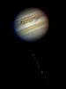
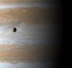
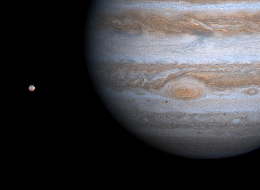
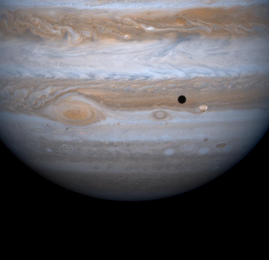
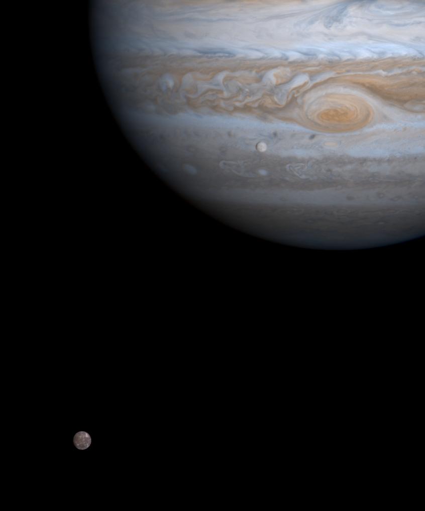
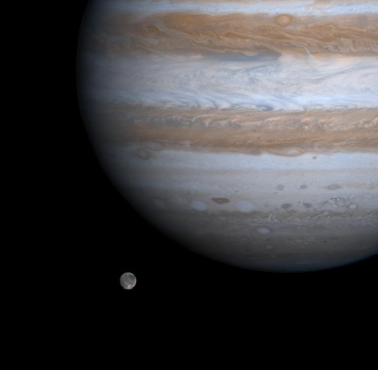
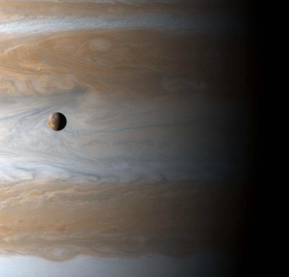
2013-04-23 | Jupiter |
Hubble Space Telescope |
Hubble Space Telescope |
1536x2048x3 |
|
|||||
|
|
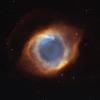
2014-04-02 | Helix Nebula |
Hubble Space Telescope |
Hubble Space Telescope |
16000x16000x3 |
|
|||||
|
|
1997-08-06 | Mars |
Mars Pathfinder (MPF) |
Imager for Mars Pathfinder |
512x512x1 |
|
|||||
|
|
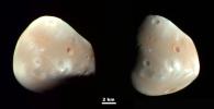
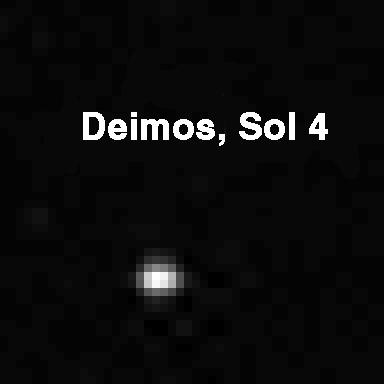
1997-11-04 | Deimos |
Mars Pathfinder (MPF) |
Imager for Mars Pathfinder |
384x384x1 |

|
|||||
|
|
1997-11-04 | Phobos |
Mars Pathfinder (MPF) |
Imager for Mars Pathfinder |
384x384x1 |
|
|||||
|
|
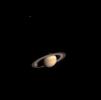
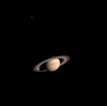
2002-11-01 | Saturn |
Cassini-Huygens |
Imaging Science Subsystem |
451x447x3 |
|
|||||
|
|
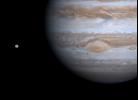
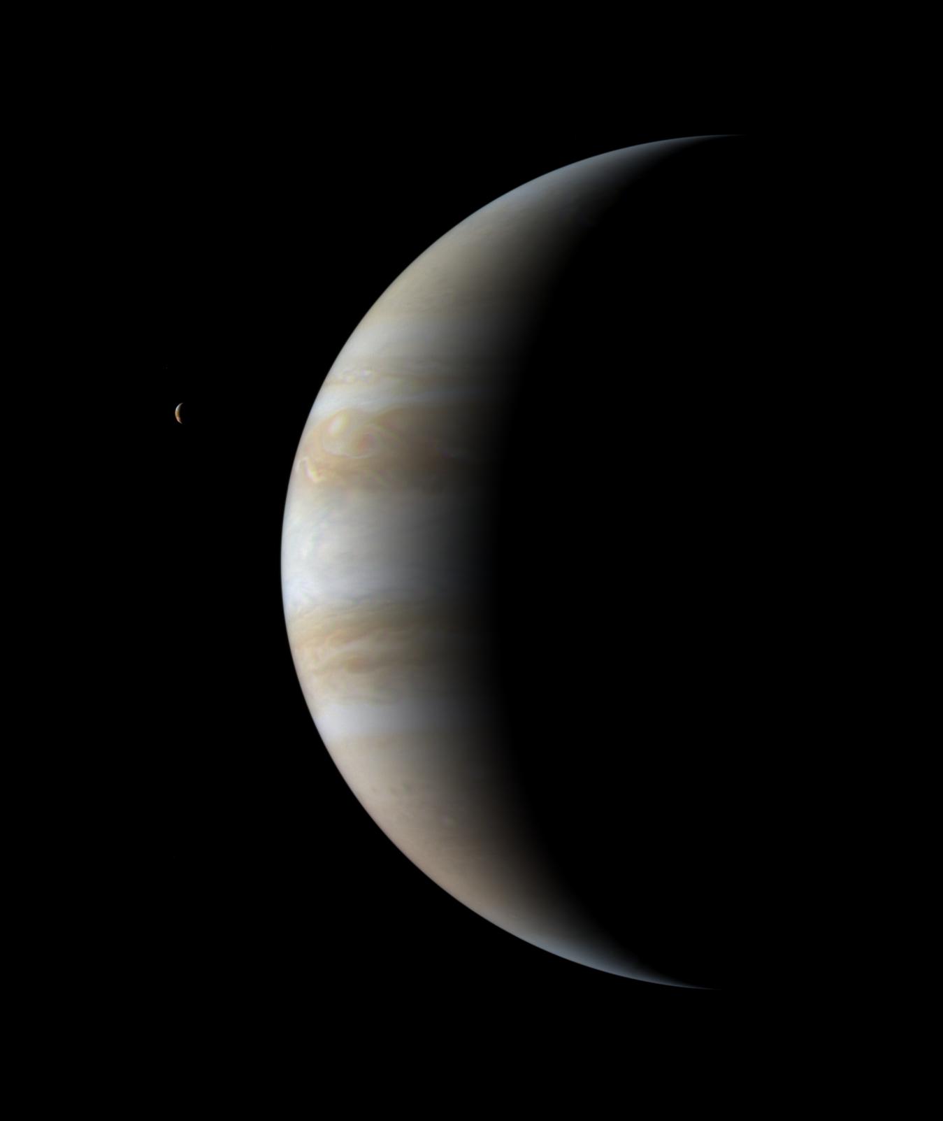
2000-12-12 | Jupiter |
Cassini-Huygens |
Imaging Science Subsystem |
863x629x3 |
|
|||||
|
|
2000-12-21 | Jupiter |
Cassini-Huygens |
Imaging Science Subsystem |
317x487x1 |
|
|||||
|
|
2000-12-20 | Jupiter |
Cassini-Huygens |
Imaging Science Subsystem |
1020x986x3 |
|
|||||
|
|
2000-12-21 | Jupiter |
Cassini-Huygens |
Imaging Science Subsystem |
846x1016x3 |
|
|||||
|
|
2000-12-23 | Jupiter |
Cassini-Huygens |
Imaging Science Subsystem |
747x731x3 |
|
|||||
|
|
2000-12-30 | Jupiter |
Cassini-Huygens |
Imaging Science Subsystem |
640x480x1 |
|
|||||
|
|
2001-01-30 | Jupiter |
Cassini-Huygens |
Imaging Science Subsystem |
1920x1080x3 |
|
|||||
|
|
2001-01-23 | Jupiter |
Cassini-Huygens |
Imaging Science Subsystem |
999x959x3 |
|
|||||
|
|
2001-01-31 | Himalia |
Cassini-Huygens |
Imaging Science Subsystem |
735x540x3 |
|
|||||
|
|
2001-02-05 | Jupiter |
Cassini-Huygens |
Imaging Science Subsystem |
400x400x1 |
|
|
||||
|
|
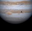
2001-05-31 | Io |
Cassini-Huygens |
Imaging Science Subsystem |
1157x633x1 |
|
|
||||
|
|
2001-05-31 | Jupiter |
Cassini-Huygens |
Imaging Science Subsystem |
1349x1603x3 |
|
|||||
|
|
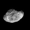
2004-06-10 | Phoebe |
Cassini-Huygens |
Imaging Science Subsystem |
679x382x1 |

|
|||||
|
|
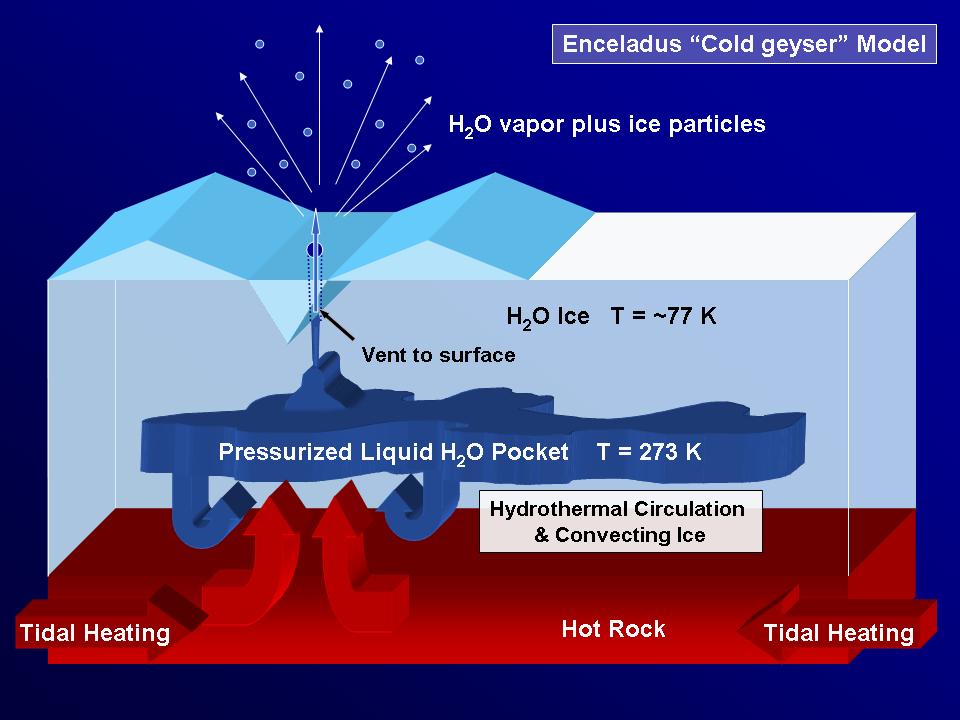
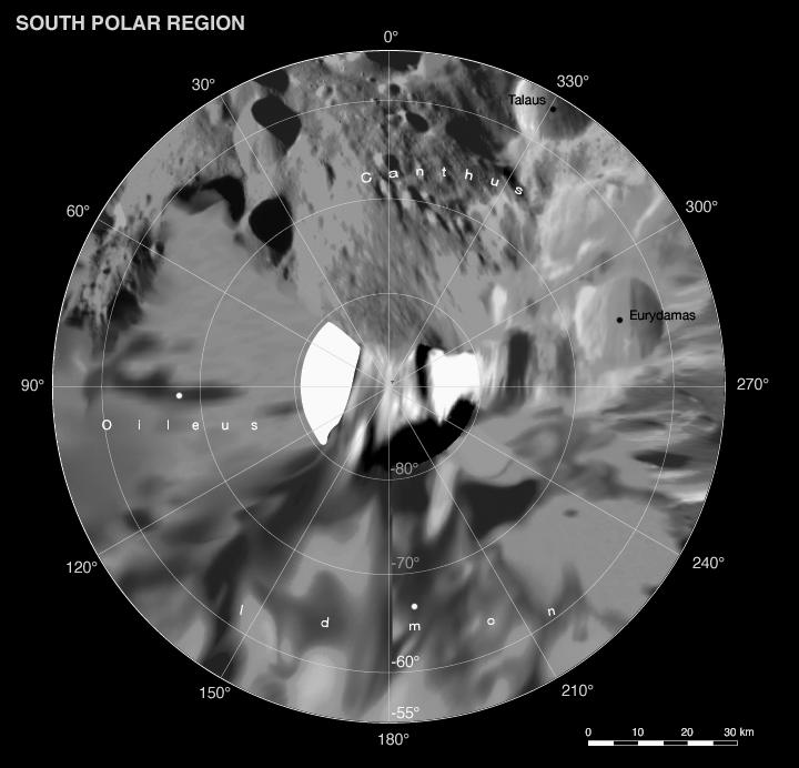
2010-02-23 | Enceladus |
Cassini-Huygens |
Imaging Science Subsystem |
1900x1900x1 |
|
|||||
|
|
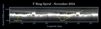
2004-08-16 | Saturn |
Cassini-Huygens |
Imaging Science Subsystem |
786x776x27 |
|
|
||||
|
|
2004-08-16 | Saturn |
Cassini-Huygens |
Imaging Science Subsystem |
786x776x28 |
|
|
||||
|
|
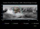
2004-10-27 | Titan |
Cassini-Huygens |
Imaging Science Subsystem |
786x776x44 |
|
|
||||
|
|
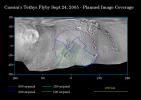
2004-10-27 | Titan |
Cassini-Huygens |
Imaging Science Subsystem |
778x776x83 |
|
|
||||
|
|
2004-10-28 | Titan |
Cassini-Huygens |
Imaging Science Subsystem |
720x540x3 |
|
|||||
|
|
2004-10-28 | Titan |
Cassini-Huygens |
Imaging Science Subsystem |
2990x789x3 |
|
|||||
|
|
2005-02-24 | Phoebe |
Cassini-Huygens |
Imaging Science Subsystem |
2750x1501x1 |

|
|||||
|
|
2005-02-24 | Phoebe |
Cassini-Huygens |
Imaging Science Subsystem |
1303x1850x1 |

|
|||||
|
|
2005-02-24 | Saturn |
Cassini-Huygens |
Imaging Science Subsystem |
800x400x1 |

|
|||||
|
|
2005-02-24 | Saturn |
Cassini-Huygens |
Imaging Science Subsystem |
1028x697x1 |

|
|||||
|
|
2005-02-24 | Saturn |
Cassini-Huygens |
Imaging Science Subsystem |
1778x1826x1 |
|
|||||
|
|
2005-03-08 | Enceladus |
Cassini-Huygens Voyager |
Imaging Science Subsystem |
1245x1004x3 |
|
|||||
|
|
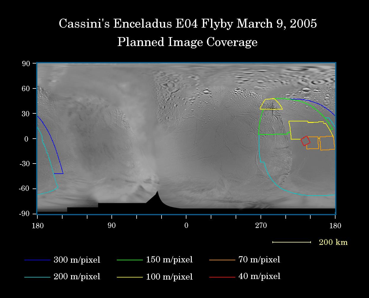
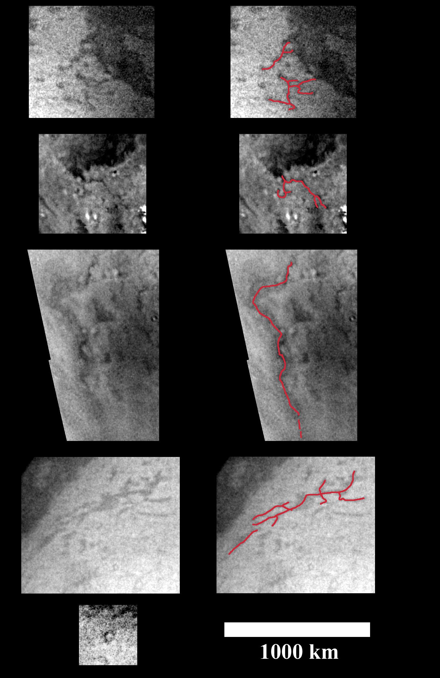
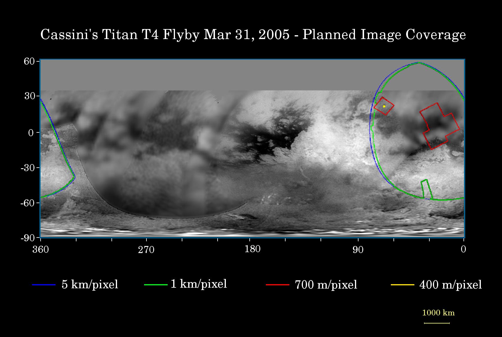
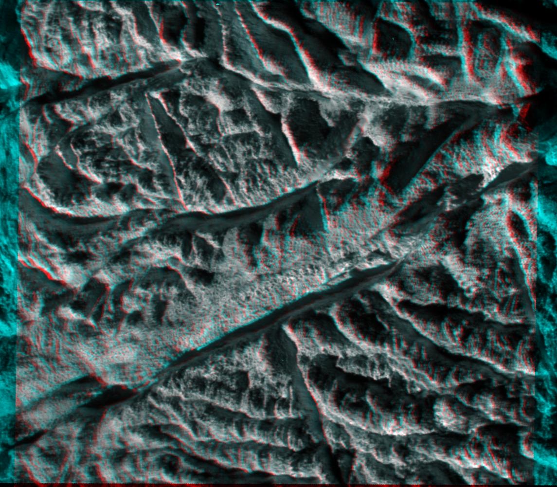
2005-03-09 | Titan |
Cassini-Huygens |
Imaging Science Subsystem |
1510x2328x3 |
|
|||||
|
|
2005-03-09 | Titan |
Cassini-Huygens |
Imaging Science Subsystem |
736x1148x1 |
|
|||||
|
|
2005-03-30 | Titan |
Cassini-Huygens |
Imaging Science Subsystem |
1707x1148x3 |
|
|||||
|
|
2010-02-23 | Enceladus |
Cassini-Huygens |
Imaging Science Subsystem |
1145x1001x3 |
|
|||||
|
|
2005-08-30 | Enceladus |
Cassini-Huygens Voyager |
Imaging Science Subsystem |
2488x2448x3 |
|
|||||
|
|
2005-08-30 | Enceladus |
Cassini-Huygens Voyager |
Imaging Science Subsystem |
2488x2448x3 |
|
|||||
|
|
2005-09-05 | S Rings |
Cassini-Huygens |
Imaging Science Subsystem |
1372x401x3 |
|
|||||
|
|
2005-09-07 | Titan |
Cassini-Huygens |
Imaging Science Subsystem |
1675x1192x3 |
|
|||||
|
|
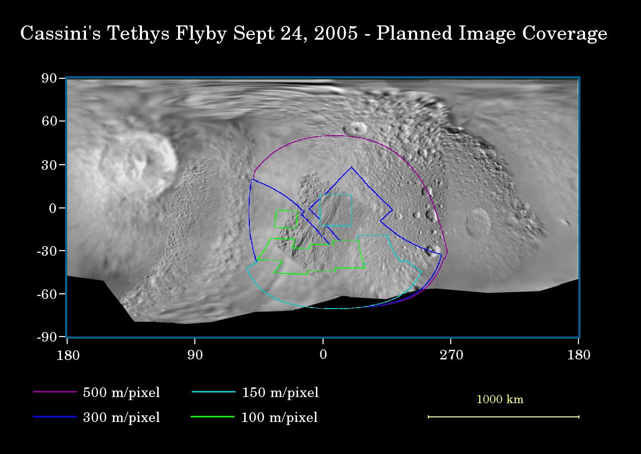
2005-09-20 | Tethys |
Cassini-Huygens Voyager |
Imaging Science Subsystem |
1260x893x3 |
|
|||||
|
|
2005-12-06 | Hyperion |
Cassini-Huygens |
Imaging Science Subsystem |
647x648x1 |
|
|||||
|
|
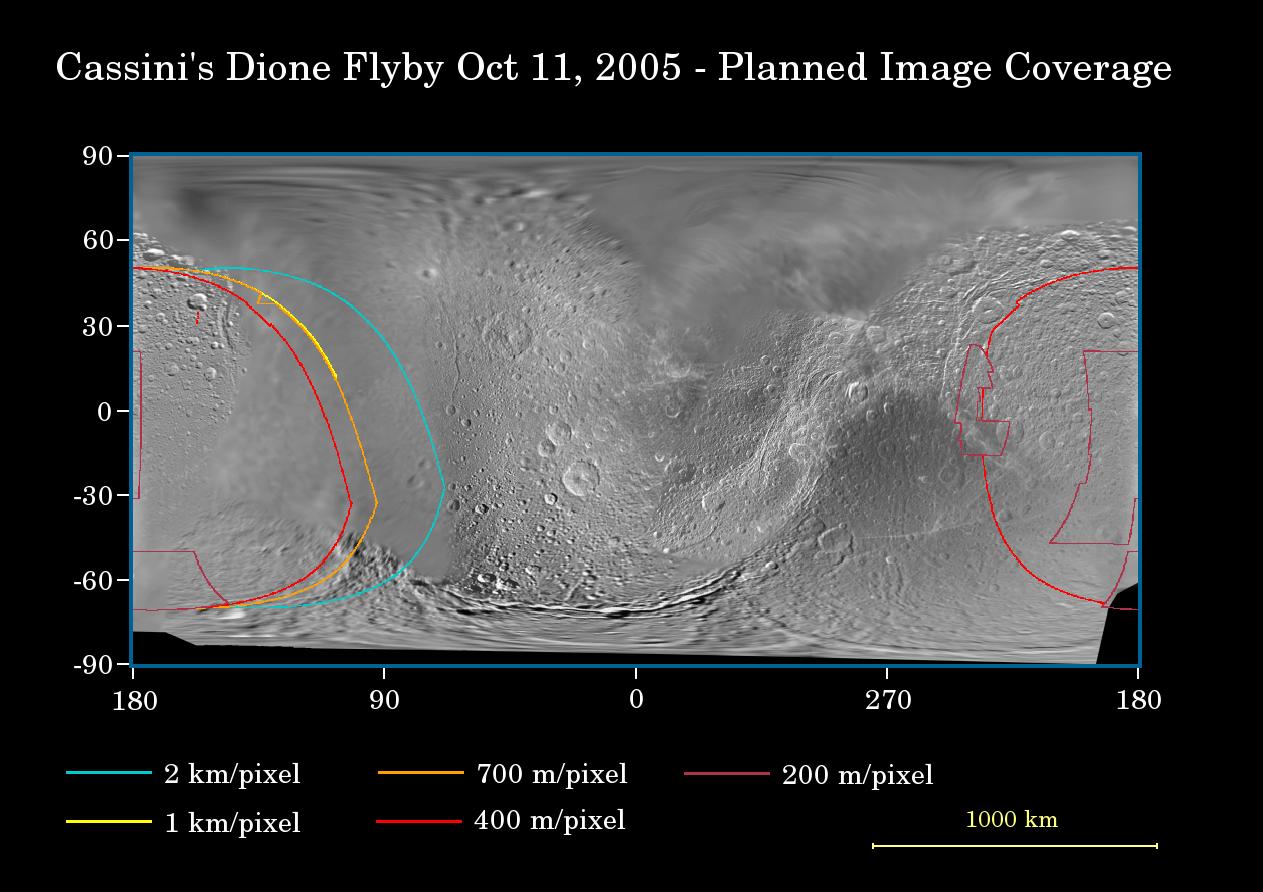
2005-10-07 | Dione |
Cassini-Huygens |
Imaging Science Subsystem |
1263x892x3 |
|
|||||
|
|
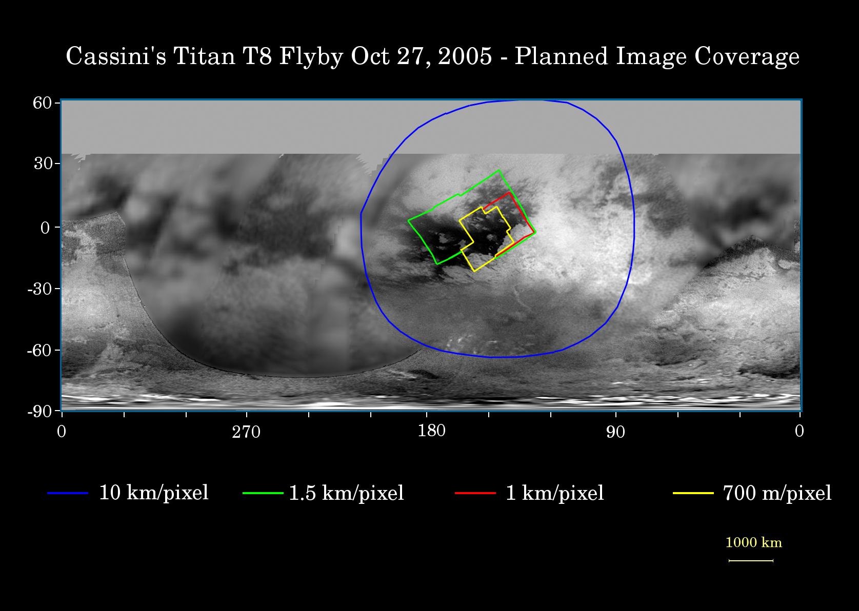
2005-10-25 | Titan |
Cassini-Huygens |
Imaging Science Subsystem |
1675x1192x3 |
|
|||||
|
|
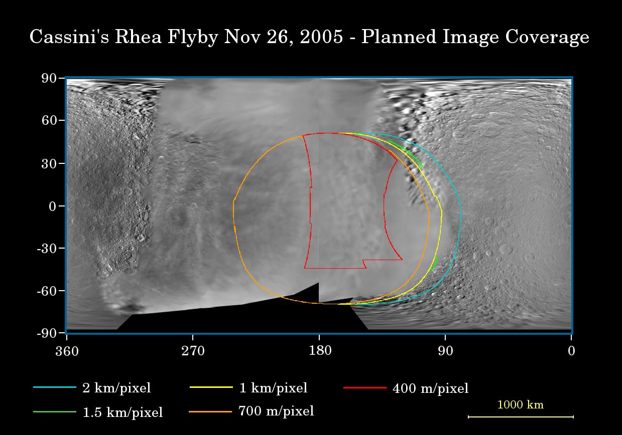
2005-11-17 | Rhea |
Cassini-Huygens |
Imaging Science Subsystem |
1239x868x3 |
|
|||||
|
|
2005-12-06 | Hyperion |
Cassini-Huygens |
Imaging Science Subsystem |
1016x1010x3 |
|
|||||
|
|
2005-12-06 | Saturn |
Cassini-Huygens |
Imaging Science Subsystem |
1899x1740x3 |
|
|||||
|
|
2005-12-06 | Dione |
Cassini-Huygens |
Imaging Science Subsystem |
1686x1578x3 |

|
|||||
|
|
2005-12-22 | Phoebe |
Cassini-Huygens |
Imaging Science Subsystem |
3228x1900x3 |
|
|||||
|
|
2005-12-22 | Dione |
Cassini-Huygens |
Imaging Science Subsystem |
5750x3244x3 |
|
|||||
|
|
2005-12-22 | Enceladus |
Cassini-Huygens |
Imaging Science Subsystem |
14960x7860x3 |
|
|||||
|
|
2005-12-22 | Iapetus |
Cassini-Huygens |
Imaging Science Subsystem |
7748x4250x3 |
|
|||||
|
|
2005-12-22 | Mimas |
Cassini-Huygens |
Imaging Science Subsystem |
3165x1878x3 |
|
|||||
|
|
2005-12-22 | Rhea |
Cassini-Huygens |
Imaging Science Subsystem |
7700x4200x3 |
|
|||||
|
|
2005-12-22 | Tethys |
Cassini-Huygens |
Imaging Science Subsystem |
12068x6408x3 |
|
|||||
|
|
2006-03-09 | Enceladus |
Cassini-Huygens |
Imaging Science Subsystem |
960x720x3 |
|
|||||
|
|
2006-03-27 | Phoebe |
Cassini-Huygens |
Imaging Science Subsystem |
2057x851x1 |
|
|||||
|
|
2006-03-27 | Phoebe |
Cassini-Huygens |
Imaging Science Subsystem |
720x692x1 |
|
|||||
|
|
2006-03-27 | Phoebe |
Cassini-Huygens |
Imaging Science Subsystem |
720x692x1 |
|
|||||
|
|
2006-03-29 | S Rings |
Cassini-Huygens |
Imaging Science Subsystem |
3168x1288x1 |
|
|||||

|
 |
|
|
|
|
|
 |
 |
|
|

|
| 1-100 | 101-200 | 201-300 | 301-400 | 401-500 | 501-600 | 601-700 | 701-800 | 801-900 | 901-1000 |
| Currently displaying images: 601 - 700 of 3920 |